Archiv - Nach Datum
Archiv - Nach Aktivität
-
Andere Tour (3)
- Kayaking (3)
-
Fahrradtour (108)
- Fahrradtour Straße (83)
- Fahrradtour gemischt (25)
-
Fahrzeugtour (9)
- Autotour (9)
-
Fußtour (1844)
- Bergtour (1093)
- Jogging (1)
- Spaziergang (55)
- Wanderung (695)
-
Skitour (113)
- Langlauf (46)
- Tourenskilauf (67)
Gesammelte Listen
-
Utvalgte topper og turmål i Bergen
(343/344)
 99%
99% -
Alle topper i Bergen
(390/397)
98%
-
Voss ≥ 100m pf.
(96/98)
97%
-
Opptur Hordaland
(144/159)
90%
-
Stasjoner på Bergensbanen
(31/40)
77%
-
Ulvik ≥ 100m pf.
(28/38)
73%
-
Hordaland ≥ 100m pf.
(617/863)
71%
-
Mjølfjell PF > 100m
(21/31)
67%
-
Jondal ≥ 100m pf.
(15/23)
65%
-
Sunnhordland PF >= 100m
(105/186)
56%
-
Dagsturhyttene i Vestland
(33/61)
54%
-
Hordaland: Hardanger PF>=100m
(189/359)
52%
-
DNT-hytter i Hordaland
(23/45)
51%
-
Kvinnherad ≥ 100m pf.
(40/79)
50%
-
Sogndal ≥ 100m pf.
(23/81)
28%
-
Eidfjord ≥ 100m pf.
(10/42)
23%
-
Vik i Sogn ≥ 100m pf.
(10/46)
21%
-
Gulen ≥ 100m pf.
(10/54)
18%
-
DNT-hytter i Sogn og Fjordane
(8/47)
17%
-
Sogn - Sør for Sognefjorden PF>=100m
(26/159)
16%

Ørneberget and Fagerdalsskaret
- Datum:
- 22.02.2020
- Tourcharakter:
- Bergtour
- Tourlänge:
- 1:09h
- Entfernung:
- 4,2km
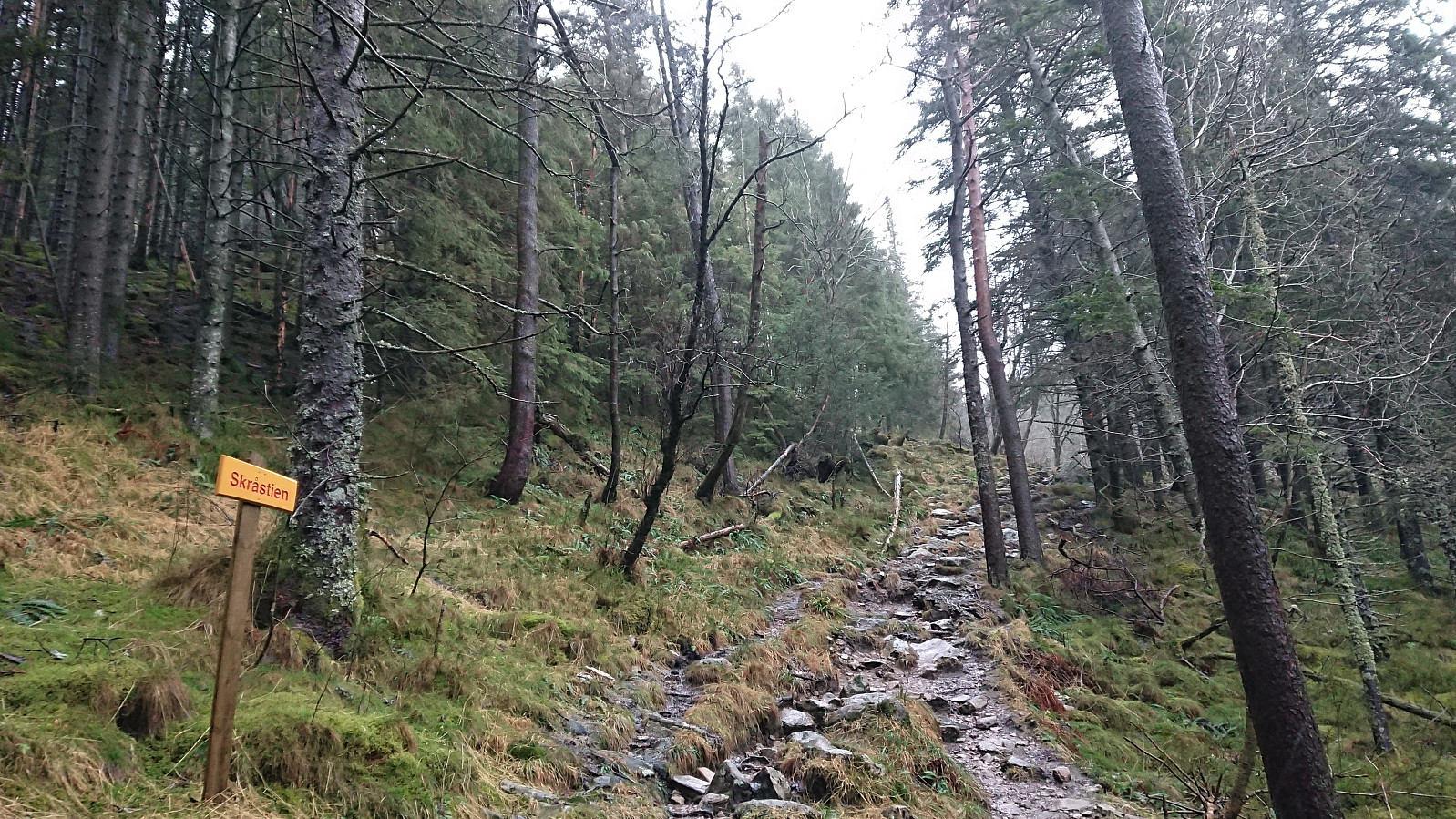
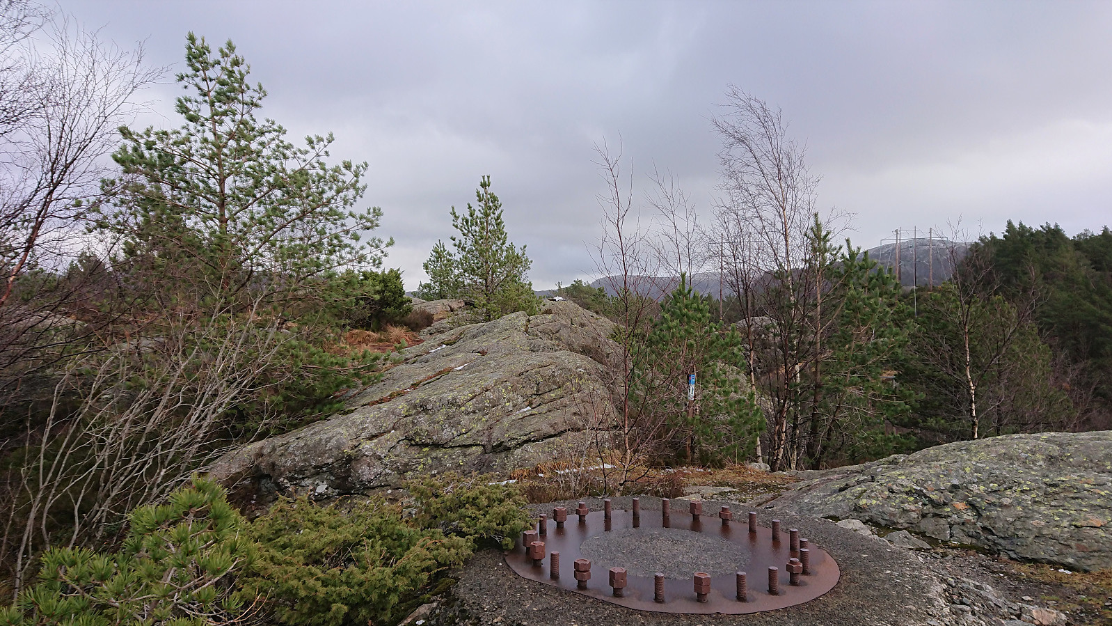 Local hike in between rain showers. There was no escaping the strong winds though. After quick visits of Ørneberget and Ørneberget NV , I found a (for me) new trail heading north to Fagerdalsskaret , which provided some excellent views along the way!
Oppstemten
- Datum:
- 19.02.2020
- Tourcharakter:
- Bergtour
- Tourlänge:
- 1:10h
- Entfernung:
- 5,4km
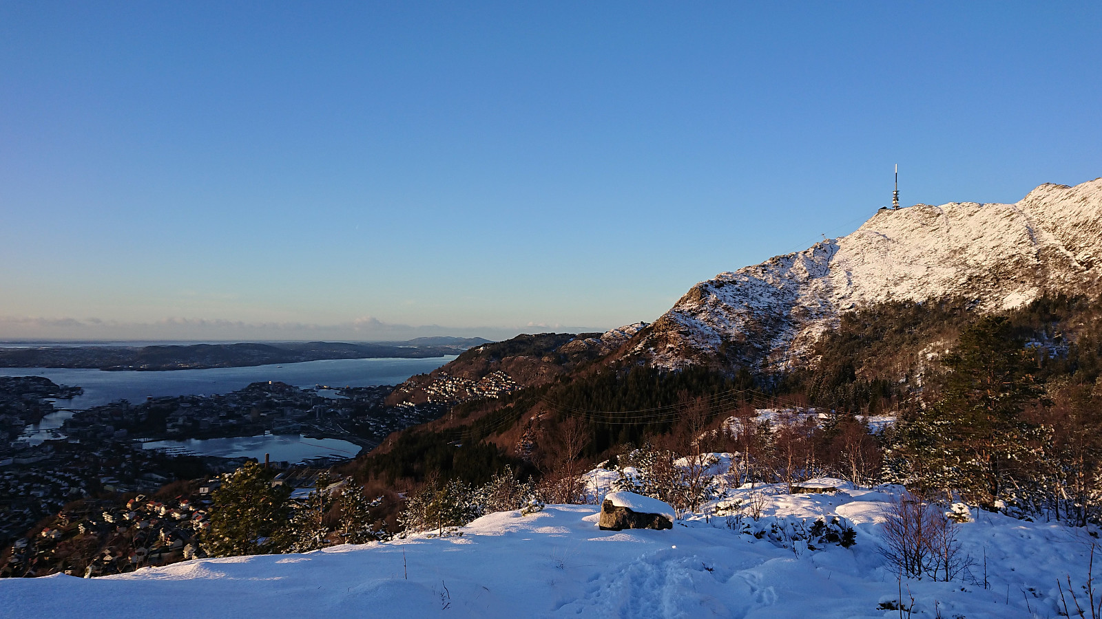
 Managed to make room for a hike up Oppstemten at the end of a rare day of nice weather. Made it to the top (from the start of the gravel road at Montana) in 26 minutes 58 seconds. Some snow partially covering the stone steps towards the very end.
Fagerdalsfjellet
- Datum:
- 16.02.2020
- Tourcharakter:
- Bergtour
- Tourlänge:
- 0:37h
- Entfernung:
- 2,9km
 Short local hike in strong winds and everything from hail, rain and sunshine.
Sandvikshytten and Ørneberget
- Datum:
- 15.02.2020
- Tourcharakter:
- Bergtour
- Tourlänge:
- 3:28h
- Entfernung:
- 10,1km
 Local hike with a new off-trail "shortcut" up to Sandvikshytten and a visit to the trig marker southeast of Orretua .
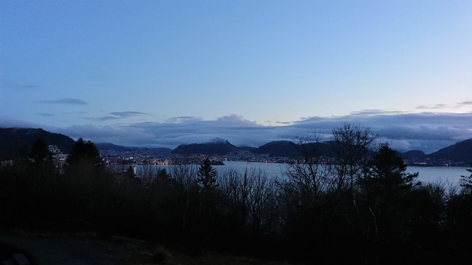
Skiing at Fløyen
- Datum:
- 13.02.2020
- Tourcharakter:
- Langlauf
- Tourlänge:
- 2:37h
- Entfernung:
- 15,6km
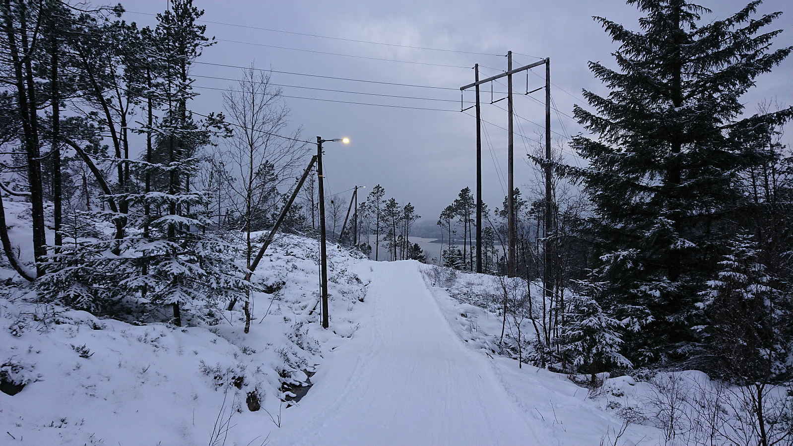 With several reports indicating good skiing conditions at Fløyen it was finally time for my first skiing trip of 2020! I was unsure if I had made the right choice when it started raining when on the bus to Fløibanen though, but thankfully the rain turned to snow before Fløibanen reached its final destination. Decided to carry the skis up to just south of Regnhytten , and from there they stayed on until just below the small dam north of Storevatnet.
Svartediket to Lønborg
- Datum:
- 09.02.2020
- Tourcharakter:
- Wanderung
- Tourlänge:
- 2:32h
- Entfernung:
- 12,4km
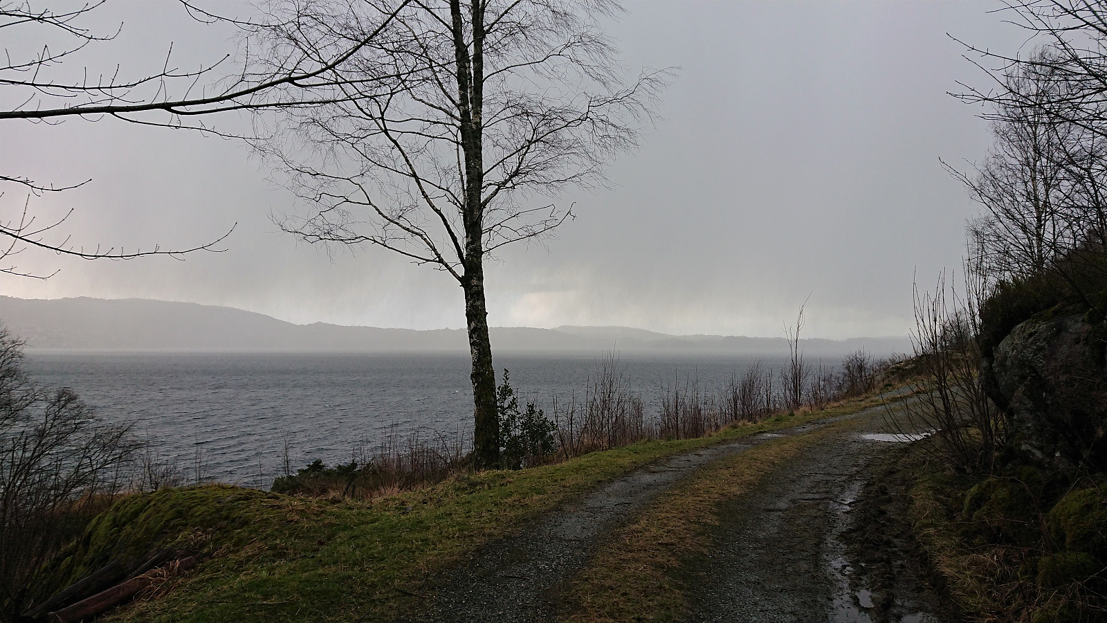
 With rain and strong winds from the south, I decided to take the bus to Svartediket and walk home from there, thus ensuring that I would have the wind from behind for most of the hike. Passed by several small shelters on the way, including one that I added as a new PB-element: Skomakerhiet .
Ormhaugen
- Datum:
- 04.02.2020
- Tourcharakter:
- Bergtour
- Tourlänge:
- 1:26h
- Entfernung:
- 5,5km
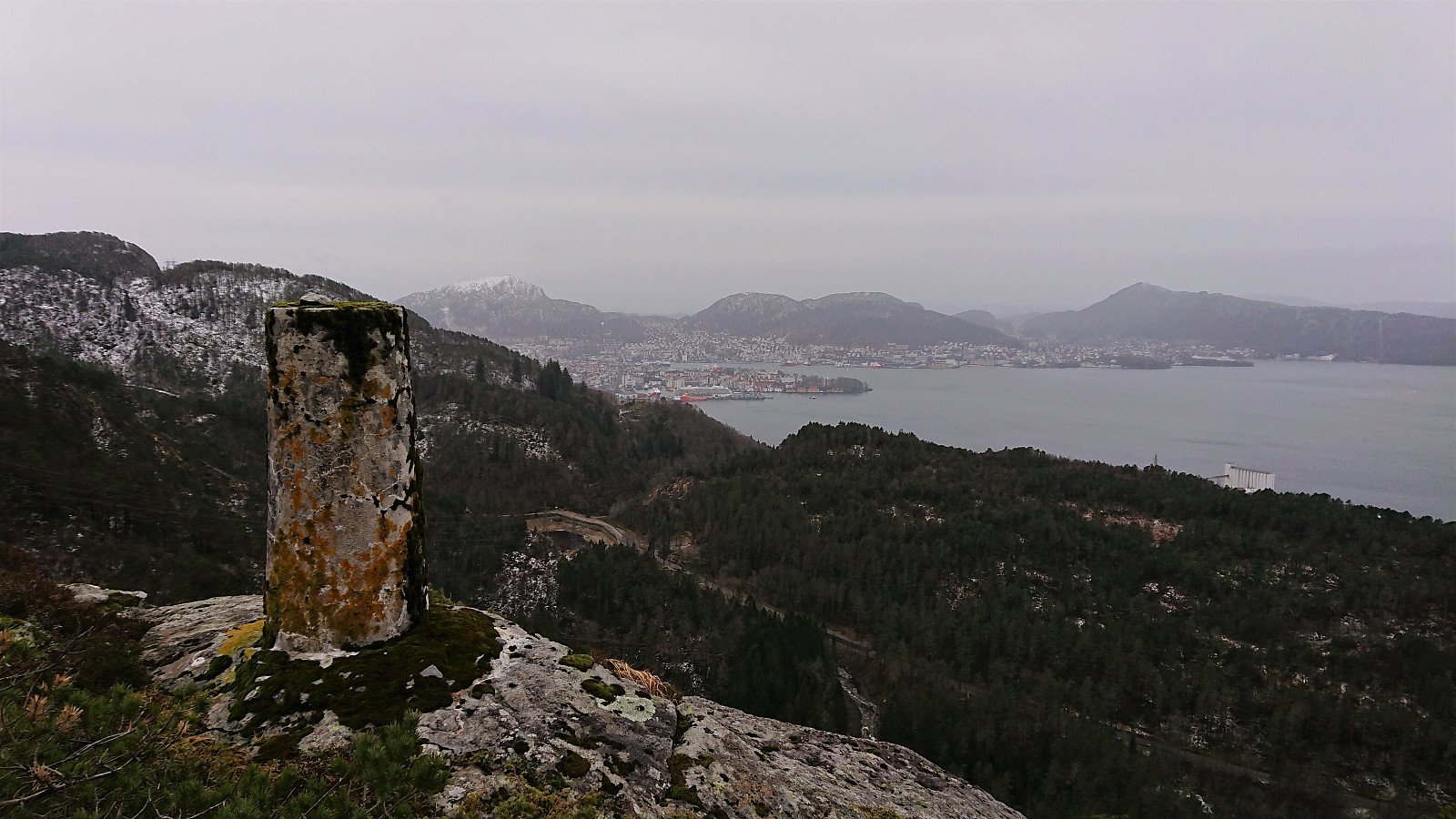
 Managed to leave work early enough to enjoy the tail end of a beautiful day for a quick visit of Ormhaugen . Also made a revisit of Perabu on the descent.
Hovda from Våge
- Datum:
- 02.02.2020
- Tourcharakter:
- Bergtour
- Tourlänge:
- 4:24h
- Entfernung:
- 21,8km
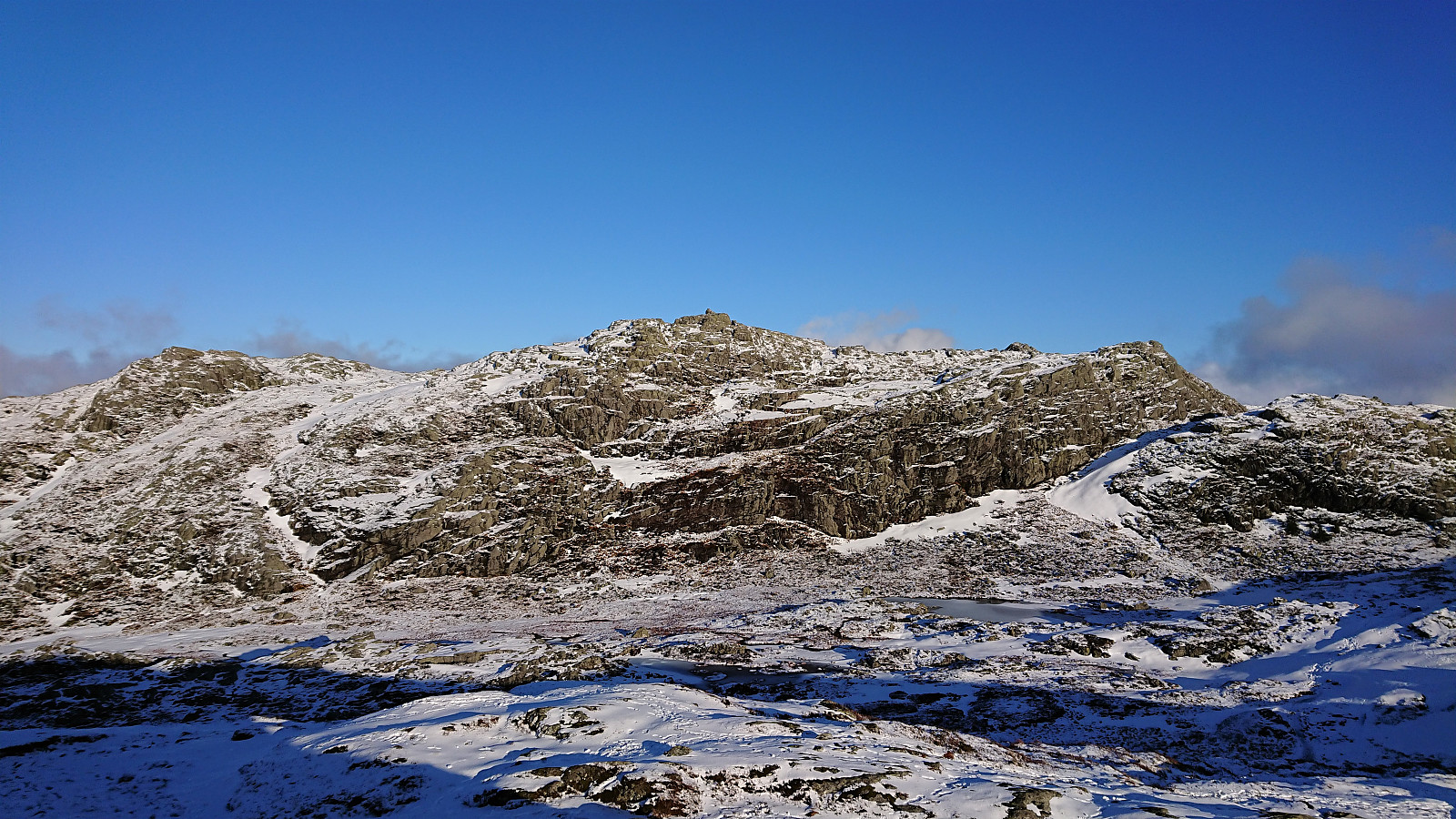
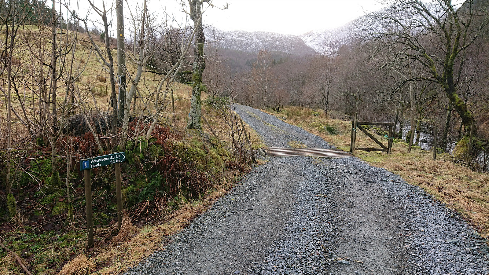 Started by taking the bus to Halhjem and the ferry to Våge, from where I walked east along the road for about 8.5 km before locating the marked trailhead for Hovda . On the opposite side of the road from the trailhead, there was also a small parking lot and World War II memorial monument (the latter indicated as "Minnestøtta" on the later trail signs).
For the first 400 meters the trail followed a tractor road, before suddenly turning left and leaving the tractor road behind. If this exit had not been marked I would most likely have skipped it, as it at times looked more like a deer track than a marked trail, and it was also very wet.
The trail markers were not very frequent, but did show up when needed, and was generally easy to follow. Just don't expect to be able to walk from one marker >>>
Started by taking the bus to Halhjem and the ferry to Våge, from where I walked east along the road for about 8.5 km before locating the marked trailhead for Hovda . On the opposite side of the road from the trailhead, there was also a small parking lot and World War II memorial monument (the latter indicated as "Minnestøtta" on the later trail signs).
For the first 400 meters the trail followed a tractor road, before suddenly turning left and leaving the tractor road behind. If this exit had not been marked I would most likely have skipped it, as it at times looked more like a deer track than a marked trail, and it was also very wet.
The trail markers were not very frequent, but did show up when needed, and was generally easy to follow. Just don't expect to be able to walk from one marker >>>
Hellen festning and Furukammen
- Datum:
- 01.02.2020
- Tourcharakter:
- Wanderung
- Tourlänge:
- 2:11h
- Entfernung:
- 8,3km
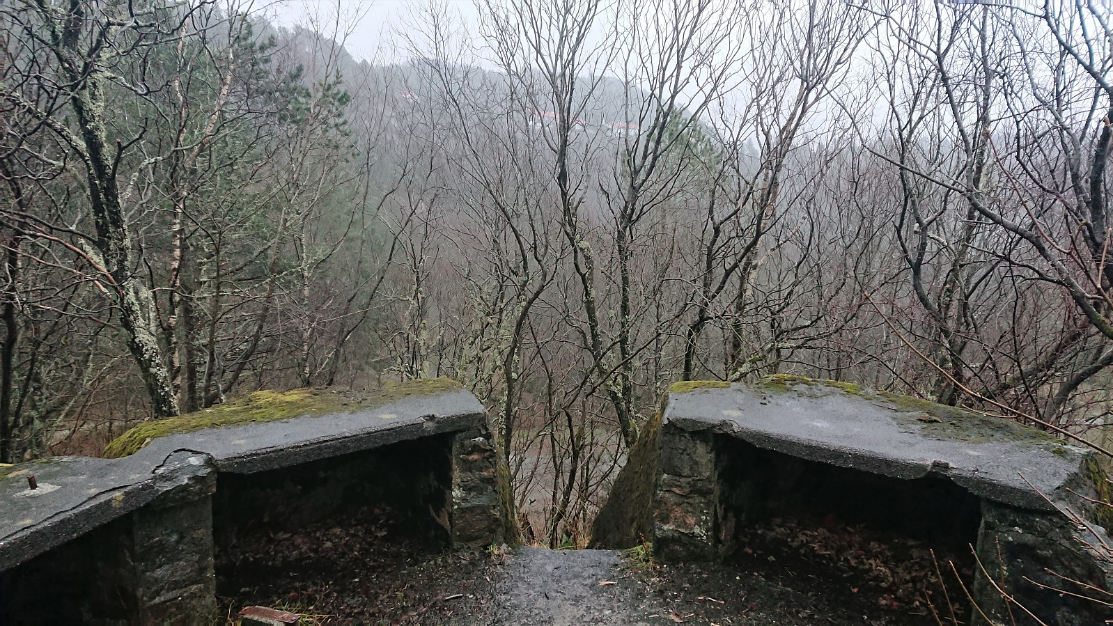 Local hike in more or less constant rain.
Across Hellen festning
- Datum:
- 29.01.2020
- Tourcharakter:
- Wanderung
- Tourlänge:
- 0:33h
- Entfernung:
- 3,2km
 Managed to squeeze in a short local hike across Hellen festning after work before it got dark.
