Archiv - Nach Datum
Archiv - Nach Aktivität
-
Andere Tour (3)
- Kayaking (3)
-
Fahrradtour (108)
- Fahrradtour Straße (83)
- Fahrradtour gemischt (25)
-
Fahrzeugtour (9)
- Autotour (9)
-
Fußtour (1844)
- Bergtour (1093)
- Jogging (1)
- Spaziergang (55)
- Wanderung (695)
-
Skitour (113)
- Langlauf (46)
- Tourenskilauf (67)
Gesammelte Listen
-
Utvalgte topper og turmål i Bergen
(343/344)
 99%
99% -
Alle topper i Bergen
(390/397)
98%
-
Voss ≥ 100m pf.
(96/98)
97%
-
Opptur Hordaland
(144/159)
90%
-
Stasjoner på Bergensbanen
(31/40)
77%
-
Ulvik ≥ 100m pf.
(28/38)
73%
-
Hordaland ≥ 100m pf.
(617/863)
71%
-
Mjølfjell PF > 100m
(21/31)
67%
-
Jondal ≥ 100m pf.
(15/23)
65%
-
Sunnhordland PF >= 100m
(105/186)
56%
-
Dagsturhyttene i Vestland
(33/61)
54%
-
Hordaland: Hardanger PF>=100m
(189/359)
52%
-
DNT-hytter i Hordaland
(23/45)
51%
-
Kvinnherad ≥ 100m pf.
(40/79)
50%
-
Sogndal ≥ 100m pf.
(23/81)
28%
-
Eidfjord ≥ 100m pf.
(10/42)
23%
-
Vik i Sogn ≥ 100m pf.
(10/46)
21%
-
Gulen ≥ 100m pf.
(10/54)
18%
-
DNT-hytter i Sogn og Fjordane
(8/47)
17%
-
Sogn - Sør for Sognefjorden PF>=100m
(26/159)
16%

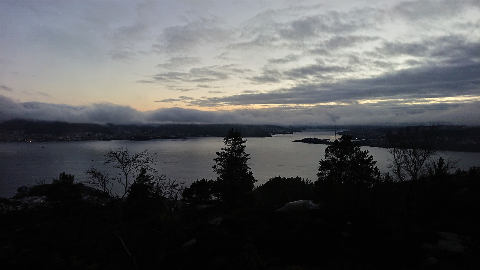
Helleneset and Hellen festning
- Datum:
- 12.11.2020
- Tourcharakter:
- Wanderung
- Tourlänge:
- 0:57h
- Entfernung:
- 4,3km
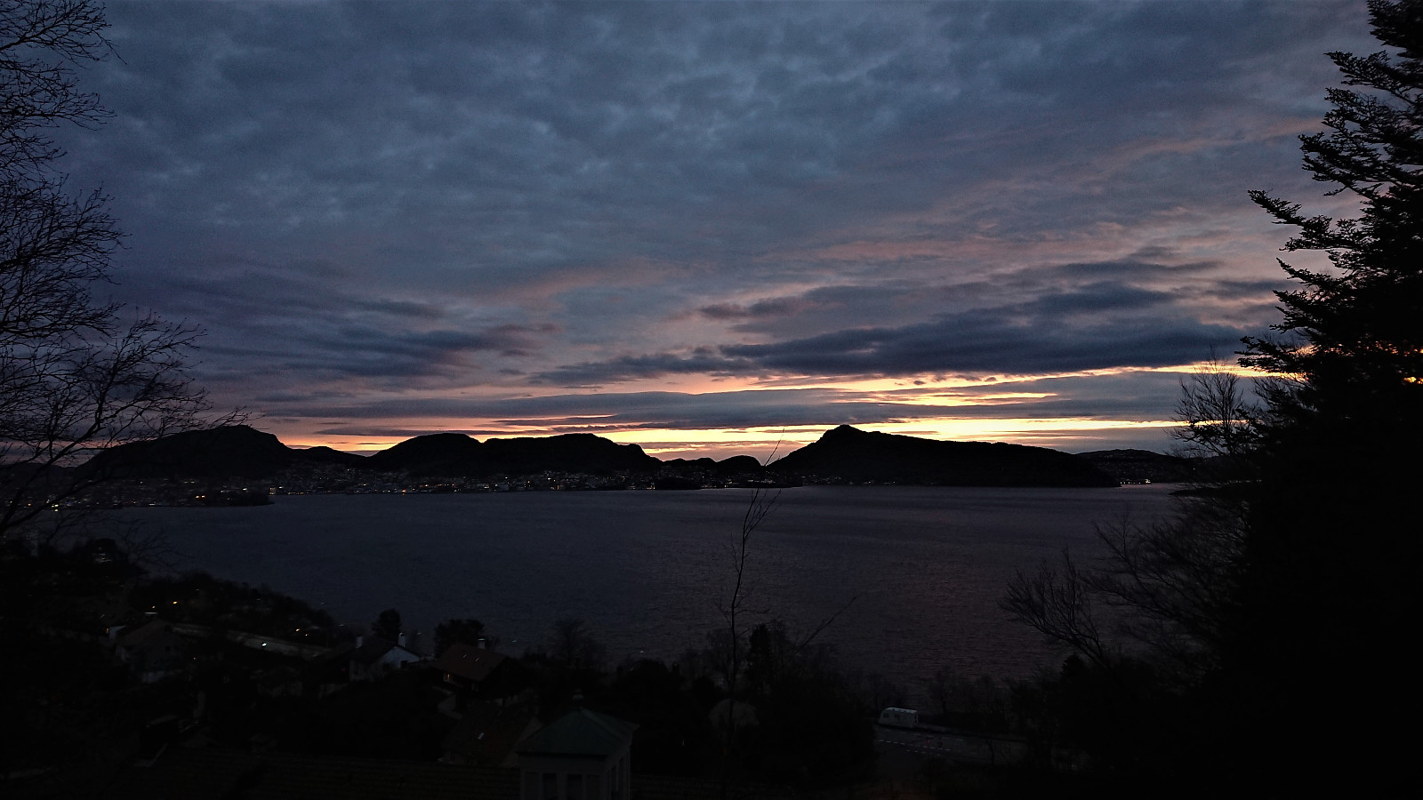 Short local hike as the sun was setting.
Across Hellen festning
- Datum:
- 11.11.2020
- Tourcharakter:
- Wanderung
- Tourlänge:
- 0:35h
- Entfernung:
- 3,3km
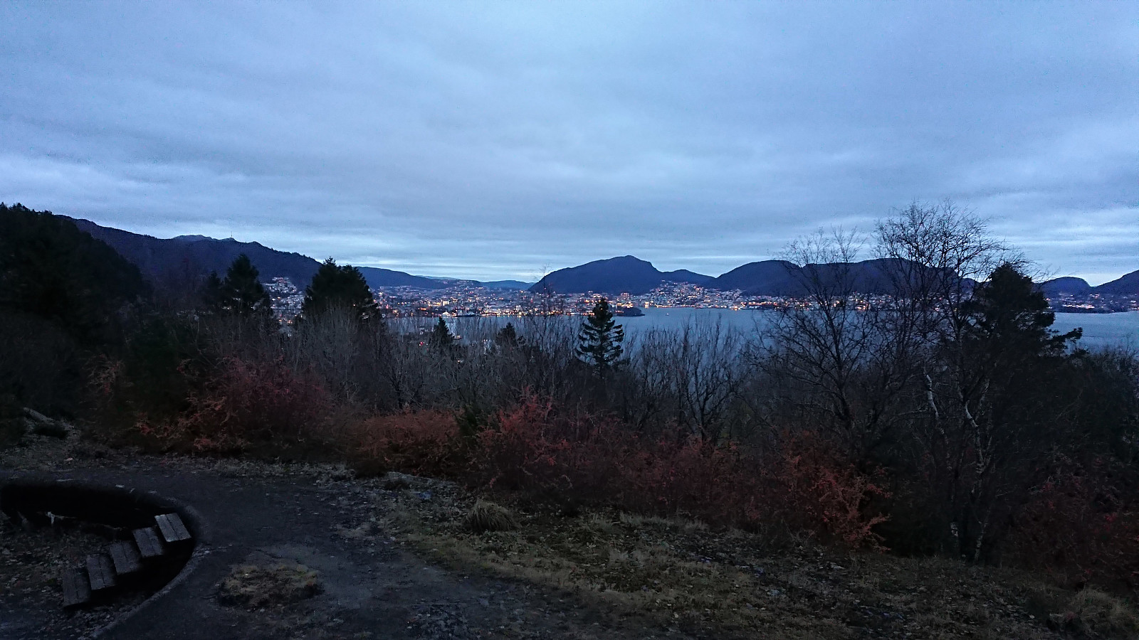 Short local hike after work.
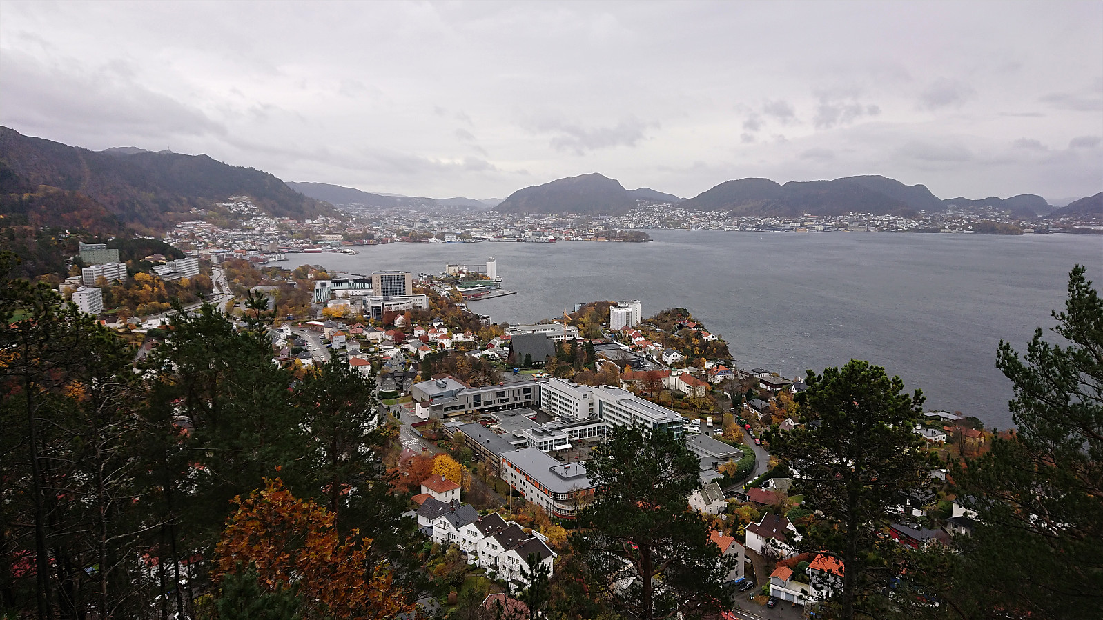
Fagerdalsskaret and Furukammen
- Datum:
- 09.11.2020
- Tourcharakter:
- Bergtour
- Tourlänge:
- 0:46h
- Entfernung:
- 3,3km
 Short local hike after work.
Dystingen and Flatafjellet
- Datum:
- 08.11.2020
- Tourcharakter:
- Bergtour
- Tourlänge:
- 3:53h
- Entfernung:
- 7,8km
 We parked outside Fosse Kraftverk and from there walked 100 meters west along the road to the marked trailhead for Dystingen . The marked trail was relatively steep, especially at the start, and contained lots of wet sections, but could overall be followed without any issues.
As the trail turned west towards the summit of Dystingen, I made an off-trail detour to Flatafjellet on my own, before we later reunited at the summit of Dystingen. My route to Flatafjellet did not provide any challenges, perhaps with the exception of trying to locate the exact summit, as Flatafjellet definitely lives up to its name. As far as I could tell, there are two competing summits, so I visited both just to be sure.
From Flatafjellet, I returned along more or less the same route to the marked trail to Dystingen. Upon reconnecting with >>>
We parked outside Fosse Kraftverk and from there walked 100 meters west along the road to the marked trailhead for Dystingen . The marked trail was relatively steep, especially at the start, and contained lots of wet sections, but could overall be followed without any issues.
As the trail turned west towards the summit of Dystingen, I made an off-trail detour to Flatafjellet on my own, before we later reunited at the summit of Dystingen. My route to Flatafjellet did not provide any challenges, perhaps with the exception of trying to locate the exact summit, as Flatafjellet definitely lives up to its name. As far as I could tell, there are two competing summits, so I visited both just to be sure.
From Flatafjellet, I returned along more or less the same route to the marked trail to Dystingen. Upon reconnecting with >>>
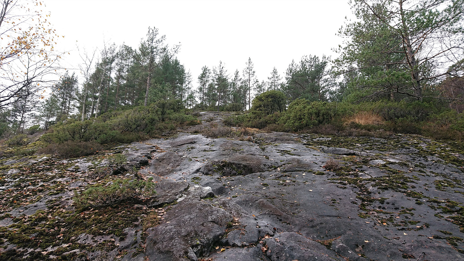
Furukammen and Hellegrind
- Datum:
- 07.11.2020
- Tourcharakter:
- Wanderung
- Tourlänge:
- 1:38h
- Entfernung:
- 6,5km
 Short local hike on a gray Saturday.
Ørneberget
- Datum:
- 06.11.2020
- Tourcharakter:
- Bergtour
- Tourlänge:
- 2:57h
- Entfernung:
- 4,1km
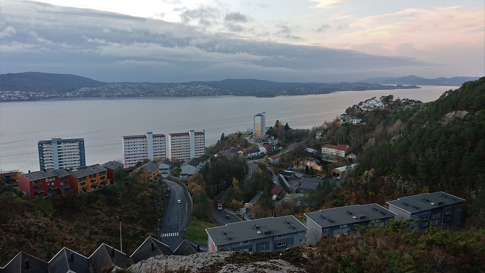
 Short local hike after work.
Across Hellen festning
- Datum:
- 04.11.2020
- Tourcharakter:
- Wanderung
- Tourlänge:
- 0:31h
- Entfernung:
- 3,1km
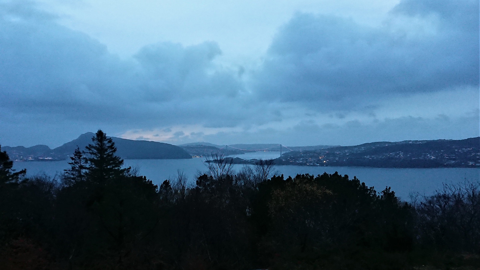 Short local hike after work.
Hellen festning and Hellemyrstien
- Datum:
- 01.11.2020
- Tourcharakter:
- Wanderung
- Tourlänge:
- 1:34h
- Entfernung:
- 8,0km
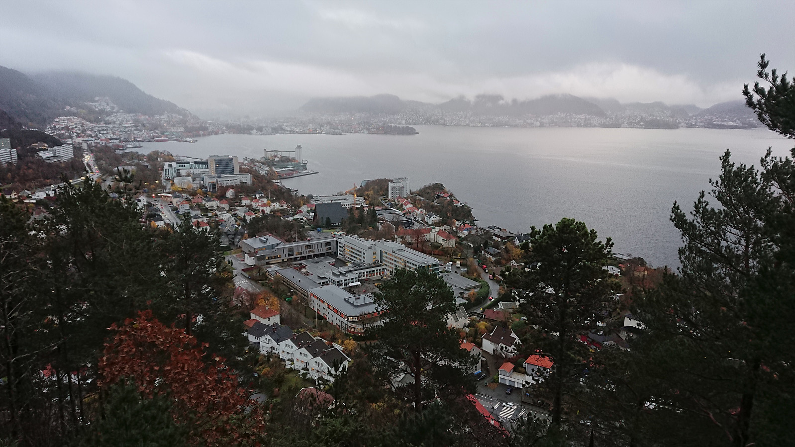
 Short local hike in light rain.
Geithaugen
- Datum:
- 31.10.2020
- Tourcharakter:
- Bergtour
- Tourlänge:
- 1:14h
- Entfernung:
- 3,8km
 After the small expedition required to get to Solaråsen , I still had plenty of time before the bus back to Bergen and decided on a short bonus trip to Geithaugen . I started west along the main road before following Stamnesvegen to an unmarked trailhead east of the summit. The trail itself was weak, but the direction was pretty obvious. 100 meters east of the summit I connected with a marked trail and could shortly enjoy nice views from the summit, most notably providing an excellent overview of my earlier route to Solaråsen.
For the descent I followed the marked trail east and then north to a tractor road, which I could then follow back down to Stamnesvegen. This trail was of much better quality and was also sparkled with lots of wooden animals "hidden" at various locations. Not as exciting as the large real deer I came across at Fethaugen earlier >>>
After the small expedition required to get to Solaråsen , I still had plenty of time before the bus back to Bergen and decided on a short bonus trip to Geithaugen . I started west along the main road before following Stamnesvegen to an unmarked trailhead east of the summit. The trail itself was weak, but the direction was pretty obvious. 100 meters east of the summit I connected with a marked trail and could shortly enjoy nice views from the summit, most notably providing an excellent overview of my earlier route to Solaråsen.
For the descent I followed the marked trail east and then north to a tractor road, which I could then follow back down to Stamnesvegen. This trail was of much better quality and was also sparkled with lots of wooden animals "hidden" at various locations. Not as exciting as the large real deer I came across at Fethaugen earlier >>>
Solaråsen via Fethaugen
- Datum:
- 31.10.2020
- Tourcharakter:
- Bergtour
- Tourlänge:
- 4:06h
- Entfernung:
- 7,6km
 Warning: This hike includes steep off-trail descents in rugged terrain.
I had always assumed that reaching the summit of Solaråsen would require an initial transportation stage by boat, as this was the option used in all of the limited number of available trip reports. At least until I came across petter (Petter Bjørstad) 's external trip report indicating an alternative route starting from the private suspension bridge in Kuviki. While this route included a significant amount of both ascending and descending in rugged terrain (after initially following a marked trail around Fethaugen ), it did provide a land-based alternative and seemed doable.
After studying Petter's report in detail (as it did not include a GPS-track), I took the train and bus to Kuviki and got off at the bus stop called Kulshamar (or Kullshammar on the map). This landed me right on front >>>
Warning: This hike includes steep off-trail descents in rugged terrain.
I had always assumed that reaching the summit of Solaråsen would require an initial transportation stage by boat, as this was the option used in all of the limited number of available trip reports. At least until I came across petter (Petter Bjørstad) 's external trip report indicating an alternative route starting from the private suspension bridge in Kuviki. While this route included a significant amount of both ascending and descending in rugged terrain (after initially following a marked trail around Fethaugen ), it did provide a land-based alternative and seemed doable.
After studying Petter's report in detail (as it did not include a GPS-track), I took the train and bus to Kuviki and got off at the bus stop called Kulshamar (or Kullshammar on the map). This landed me right on front >>>
