Orrtua and Storerinden (11.02.2026)

| Startpunkt | Bontveit (304m) |
|---|---|
| Endpunkt | Hausdalsvegen (67m) |
| Tourcharakter | Bergtour |
| Tourlänge | 1h 38min |
| Entfernung | 4,1km |
| Höhenmeter | 83m |
| GPS |
|
| Besteigungen | Orrtua på Bontveit (357m) | 11.02.2026 |
|---|---|---|
| Storerinden (126m) | 11.02.2026 | |
| Besuche anderer PBE | Bontveit parkering (304m) | 11.02.2026 |
Orrtua and Storerinden
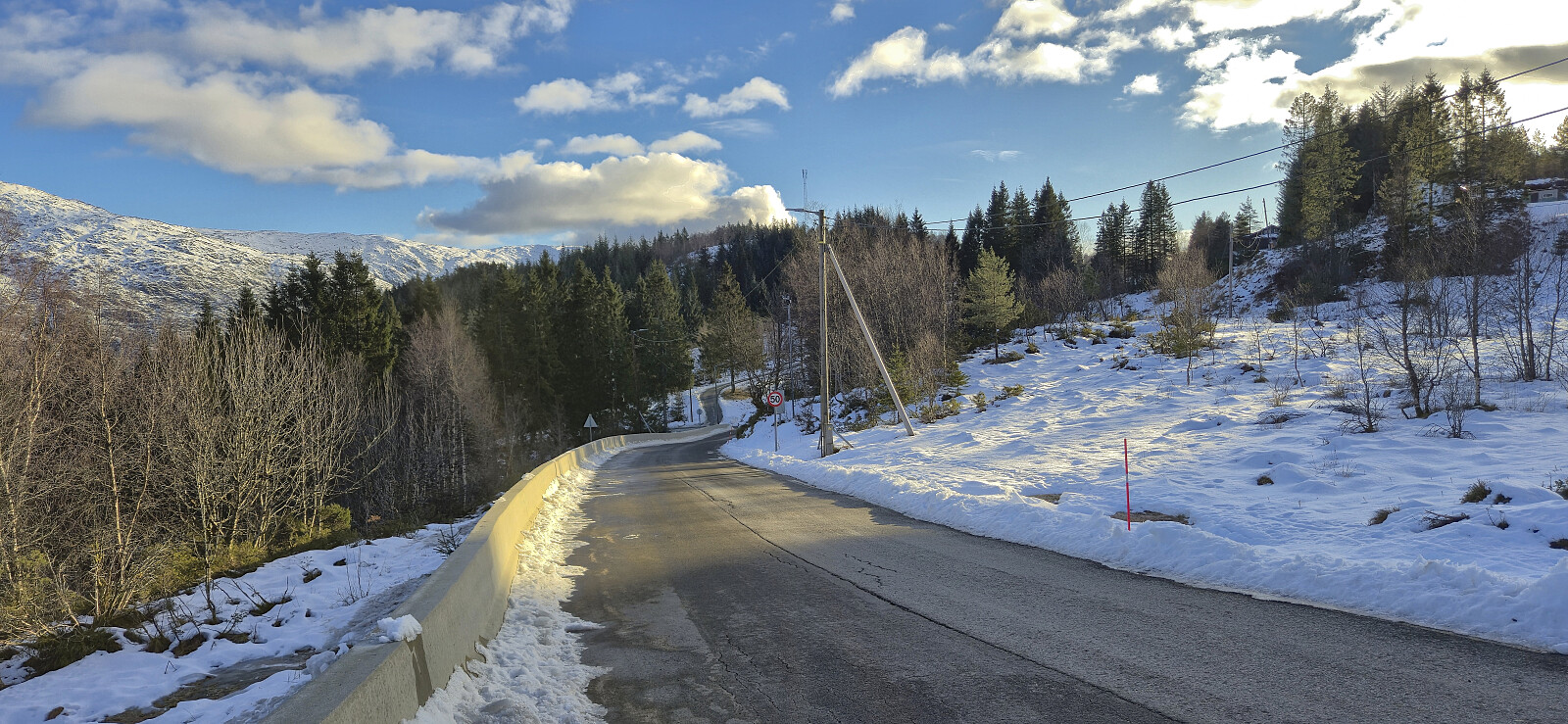
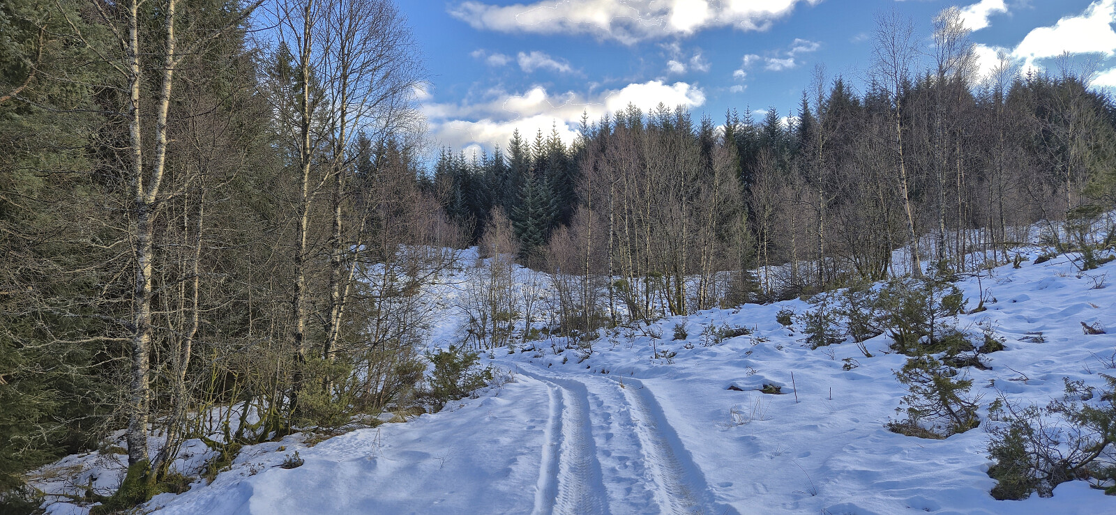
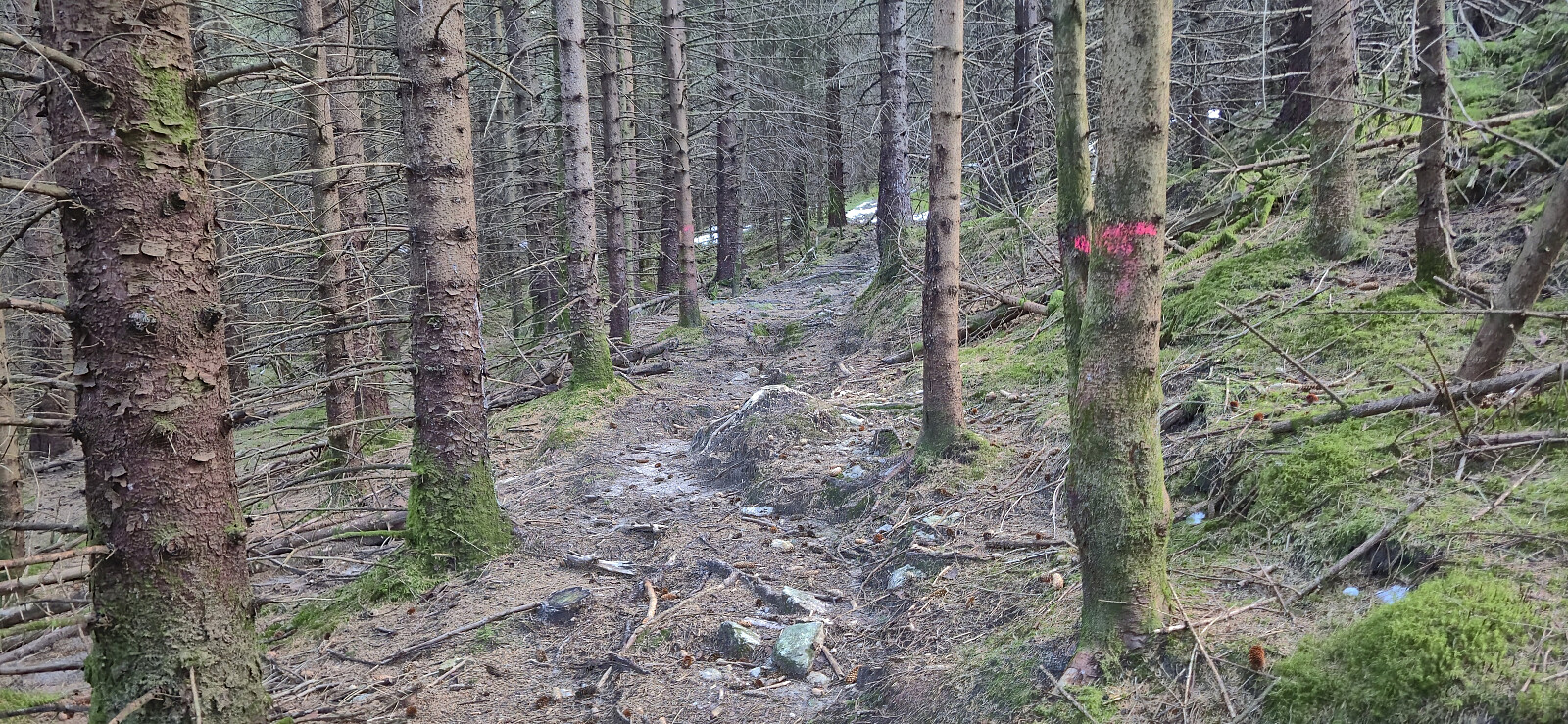
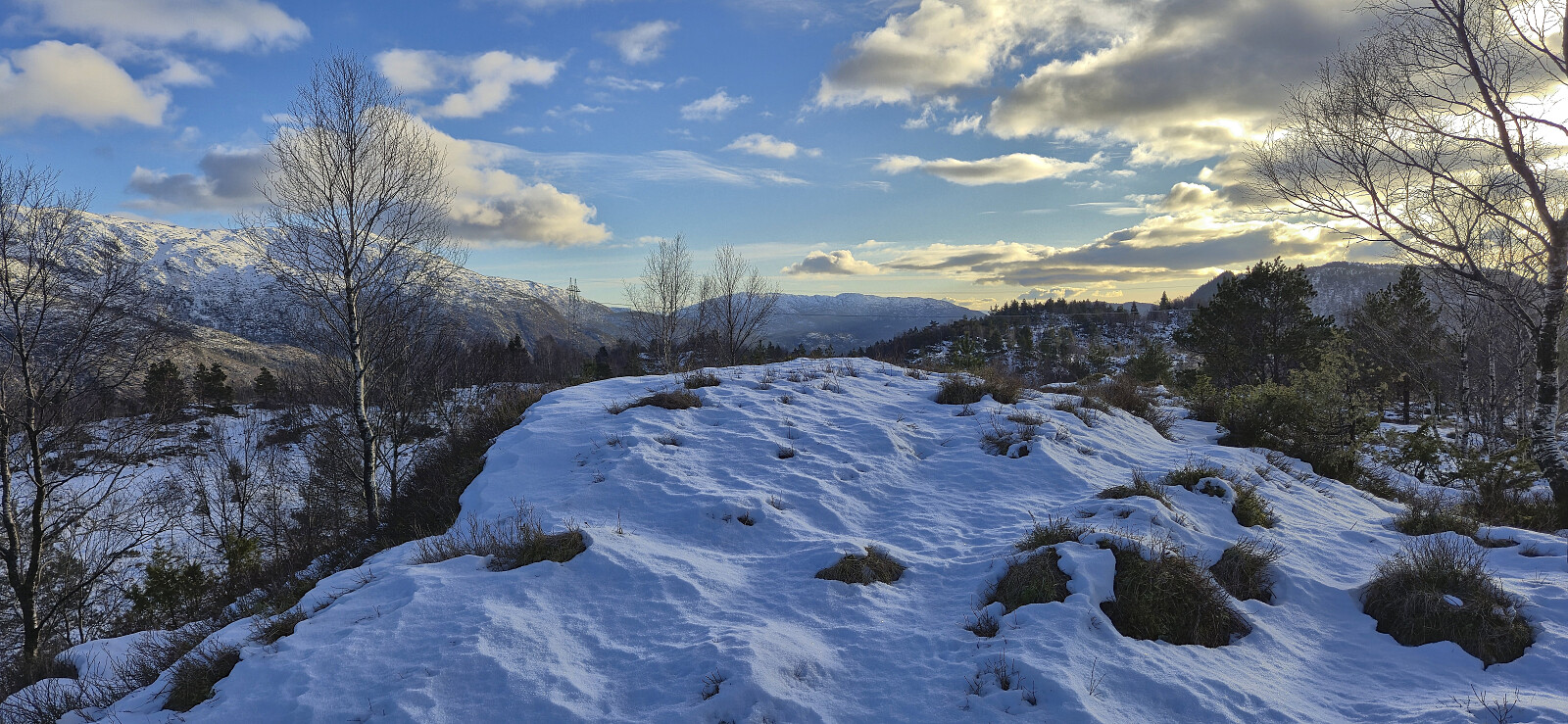
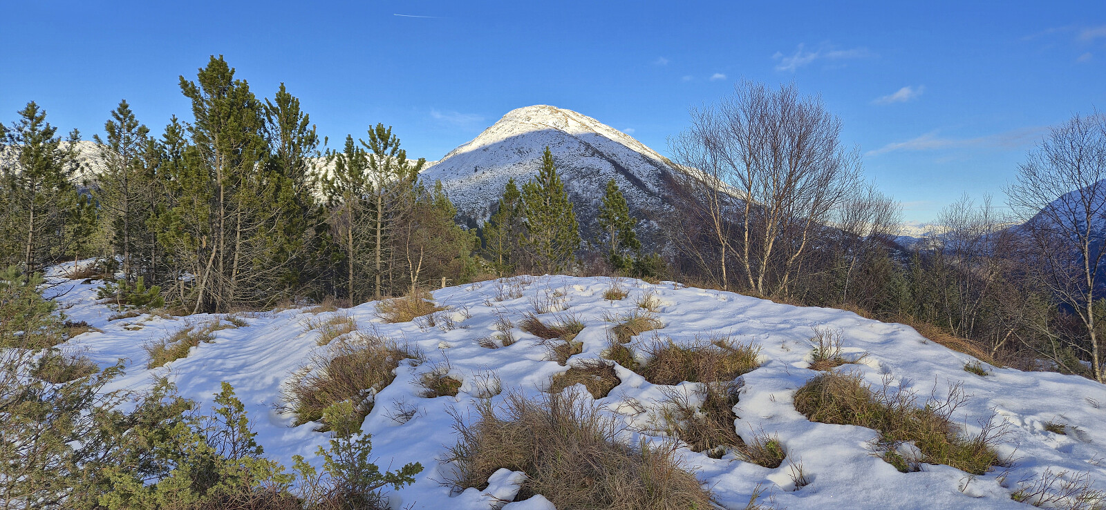
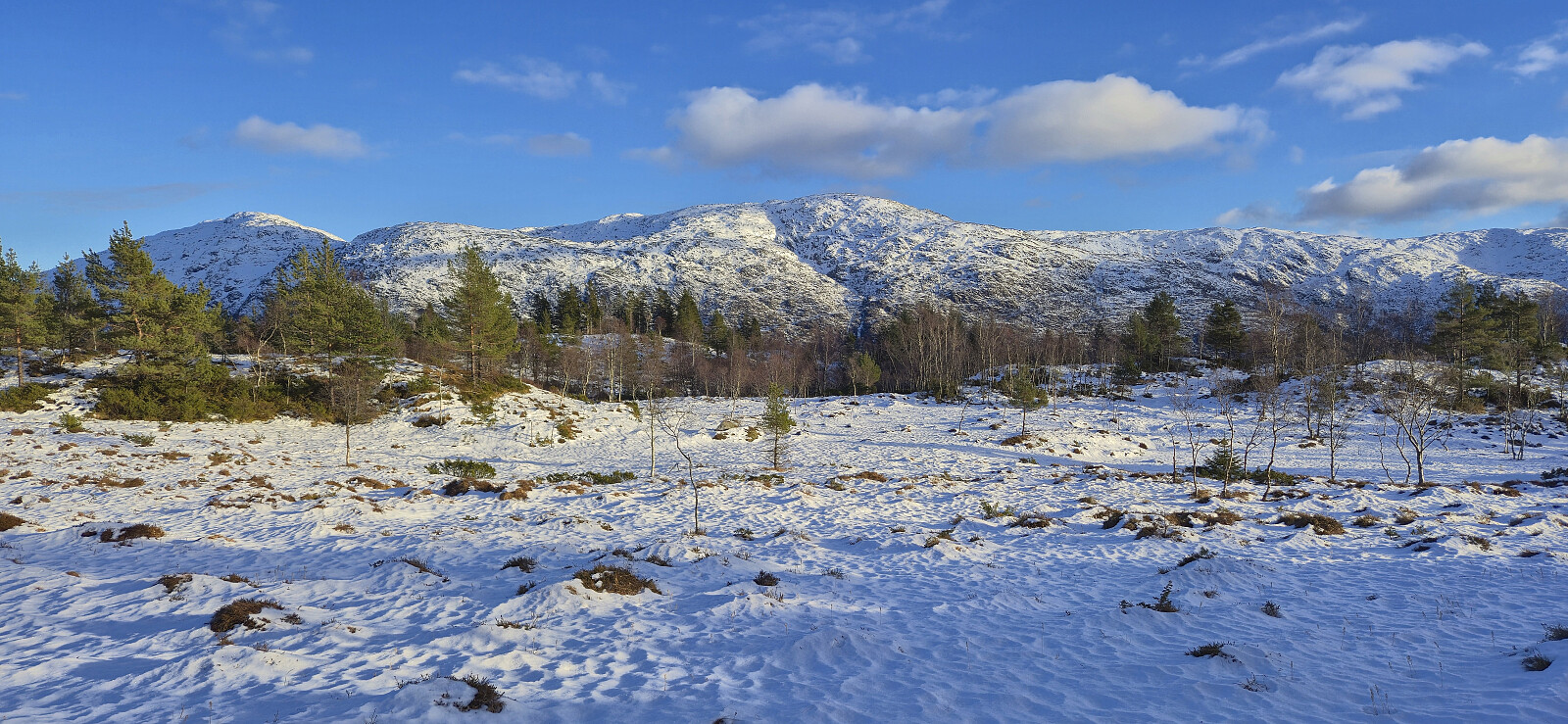
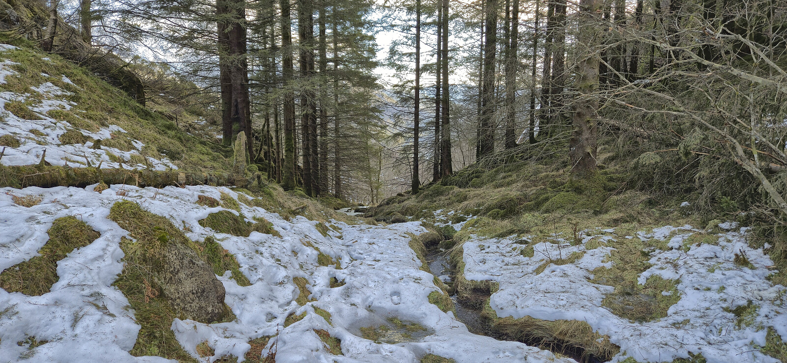
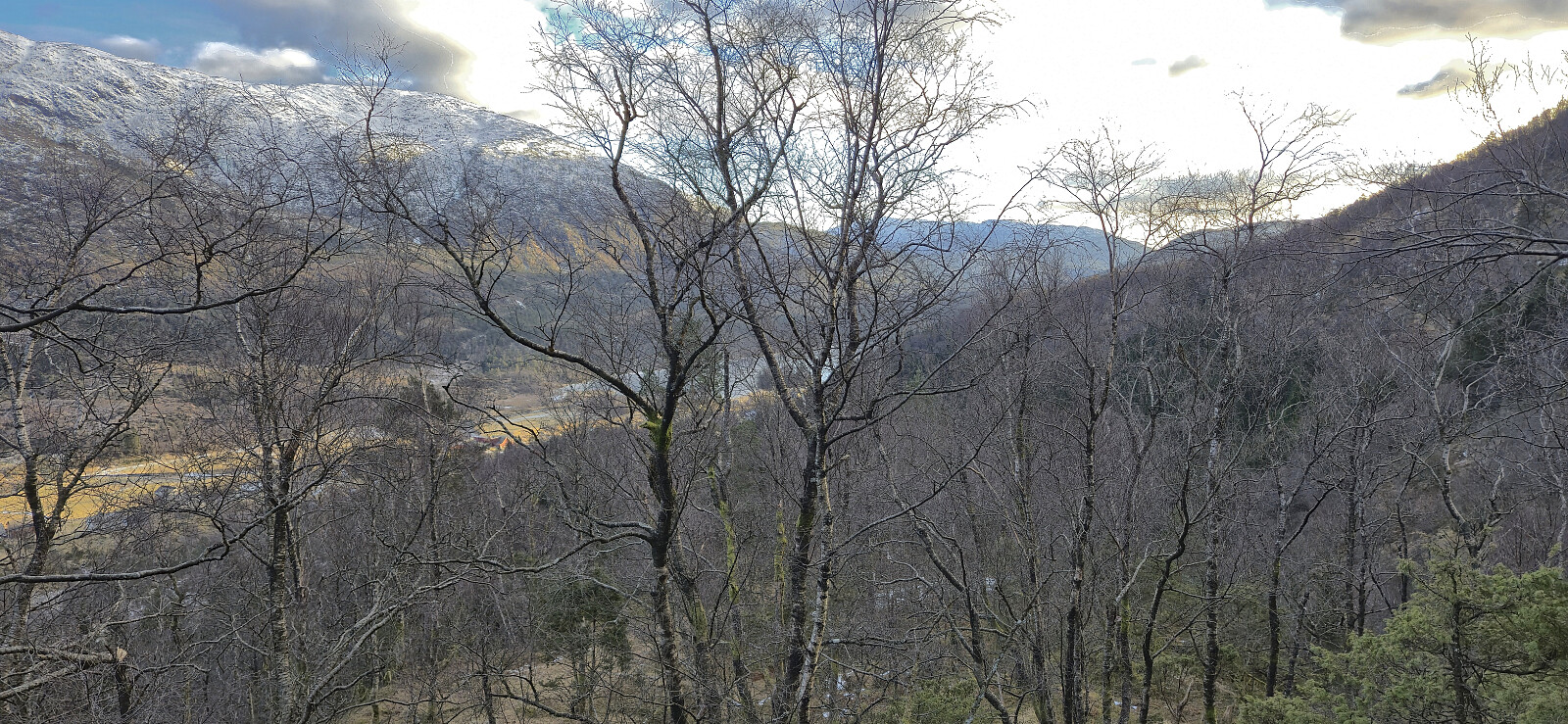
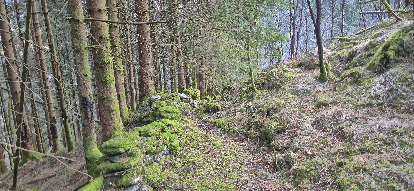
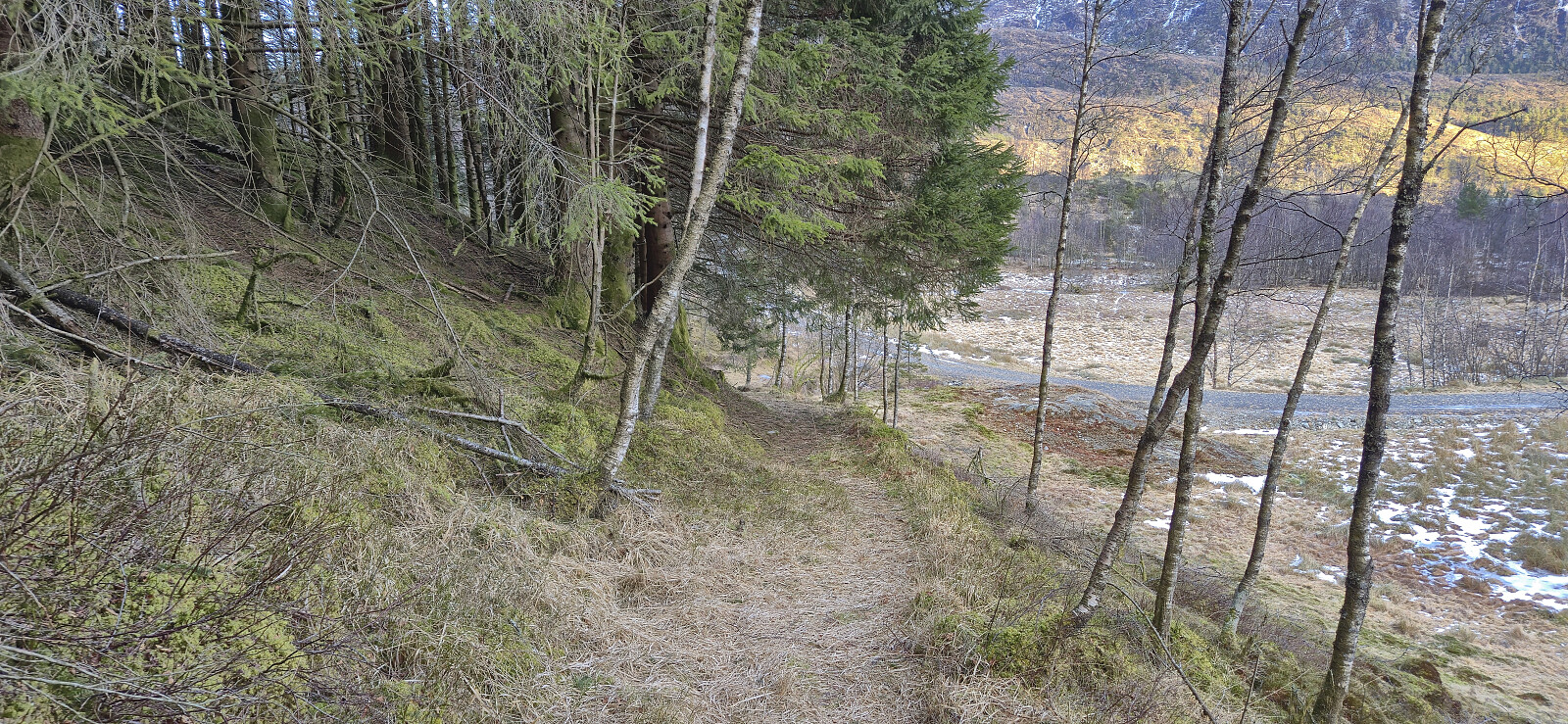
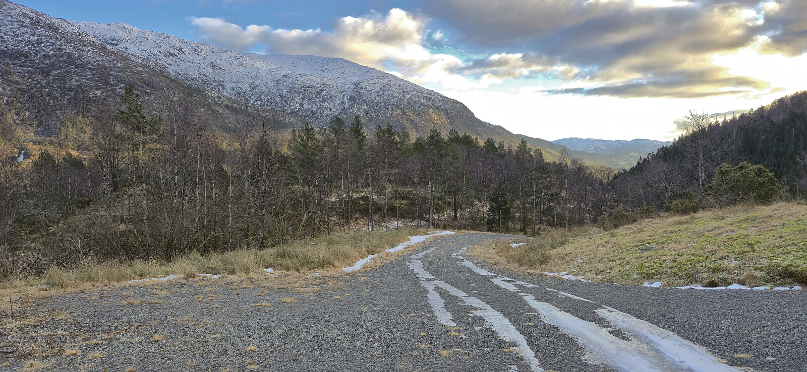
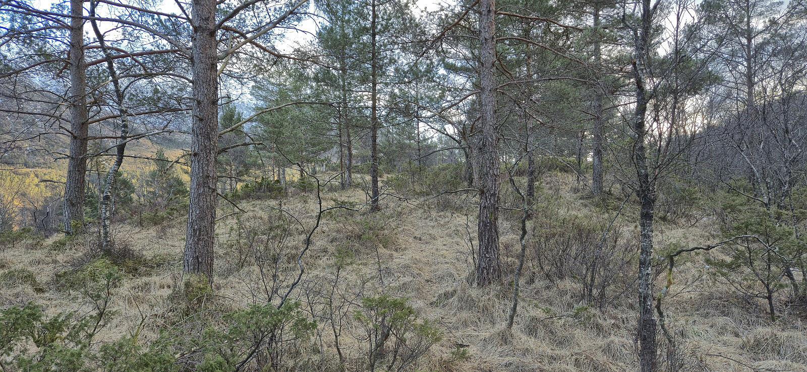
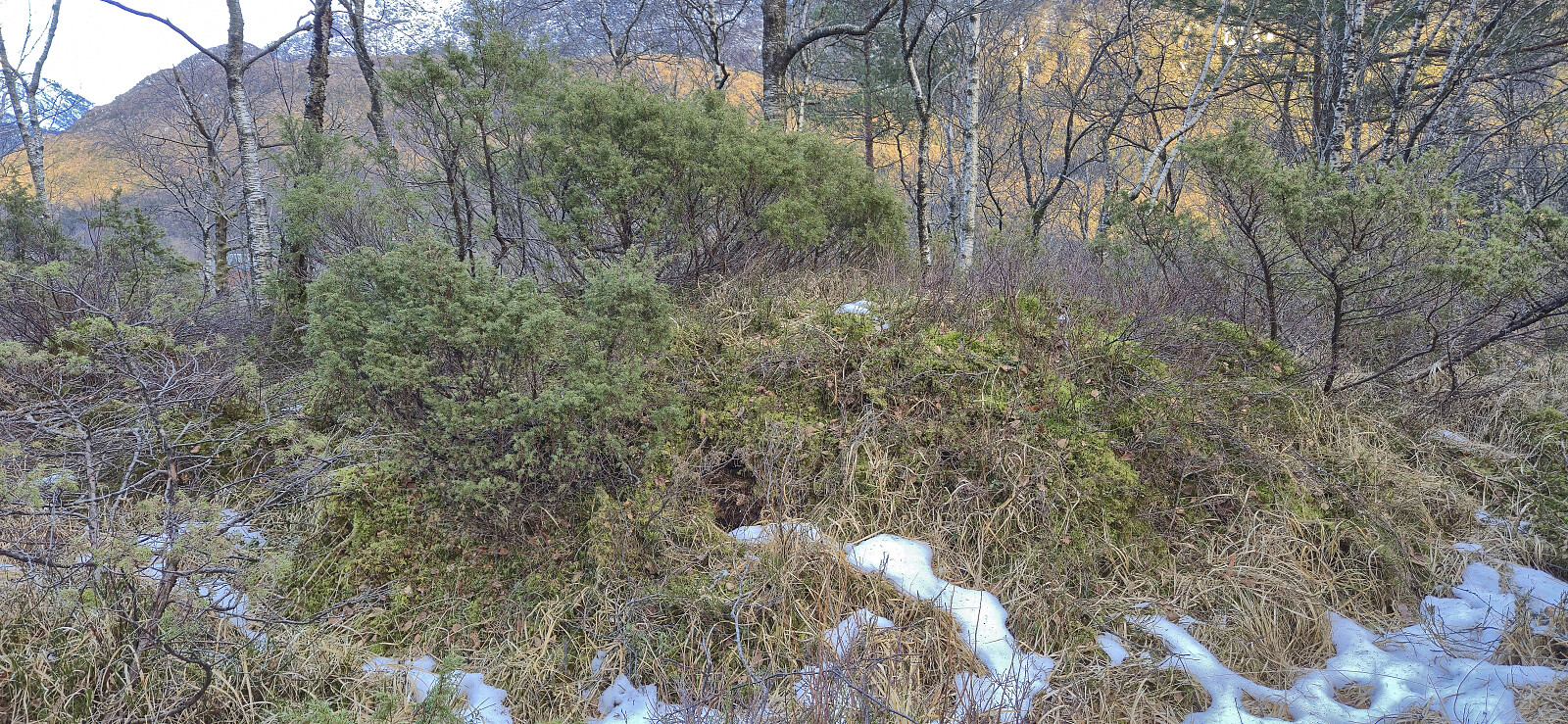
I left work early for a short hike from Bontveit to Hausdalen to visit two minor peaks on the Alle topper i Bergen list. First up was Orrtua which to my surprise could be very easily ascended via a tractor road/trail (not shown on the map) that took me almost all the way to the summit. The highest point even had much better views than expected. Getting from Orrtua to Storerinden also provided fewer challenges than feared and I even came across an old trail shortly before arriving at the gravel road north of Storerinden. From there it was straightforward to reach the summit via various deer tracks. Limited views from the summit itself, but better views to the northeast just north of the highest point. The hike was completed by returning to the gravel road and heading southwest along the main road before getting on the bus.
| Startzeitpunkt | 11.02.2026 15:11 (UTC+01:00) |
| Endzeitpunkt | 11.02.2026 16:50 (UTC+01:00) |
| Gesamtzeit | 1h 38min |
| Zeit in Bewegung | 1h 25min |
| Pausenzeit | 0h 13min |
| Gesamtschnitt | 2,5km/h |
| Bewegungsschnitt | 2,9km/h |
| Entfernung | 4,1km |
| Höhenmeter | 83m |

Benutzerkommentare