Middagshorgi, Kaldenuten, Vetlekaldenuten and Haugane (19.10.2025)

| Startpunkt | Hodnaberg (591m) |
|---|---|
| Endpunkt | Hodnaberg (591m) |
| Tourcharakter | Bergtour |
| Tourlänge | 10h 32min |
| Entfernung | 26,7km |
| Höhenmeter | 1.653m |
| GPS |
|
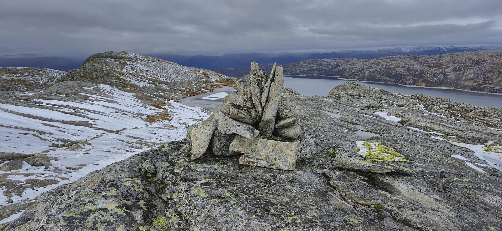
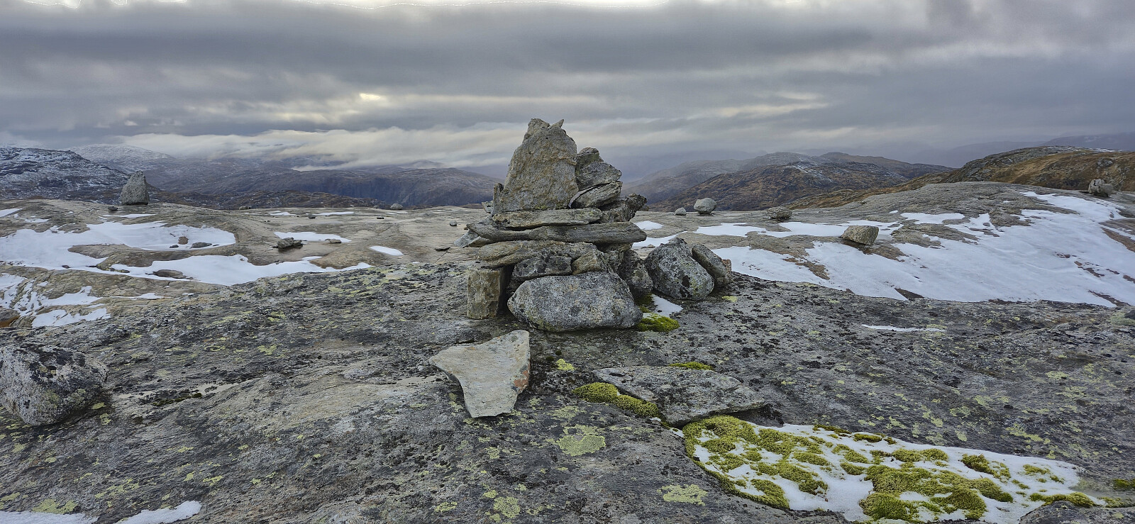
| Besteigungen | Middagshorgi (1.271m) | 19.10.2025 13:43 |
|---|---|---|
| Kaldenuten (1.332m) | 19.10.2025 15:43 | |
| Vetlekaldenuten (1.267m) | 19.10.2025 17:02 | |
| Haugane (1.208m) | 19.10.2025 18:12 | |
| Besuche anderer PBE | Nedre Kvålsdalstjørni bro (768m) | 19.10.2025 11:04 |
Middagshorgi, Kaldenuten, Vetlekaldenuten and Haugane
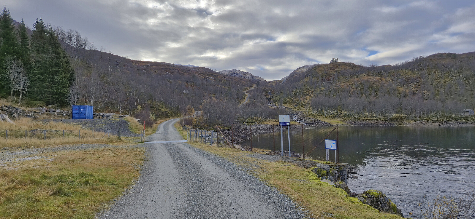
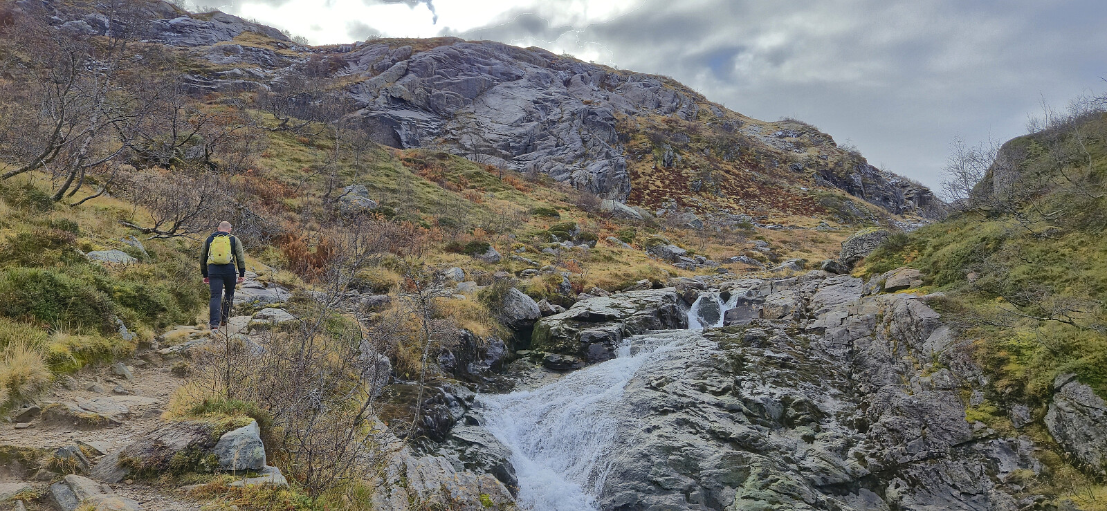
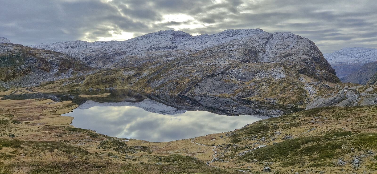
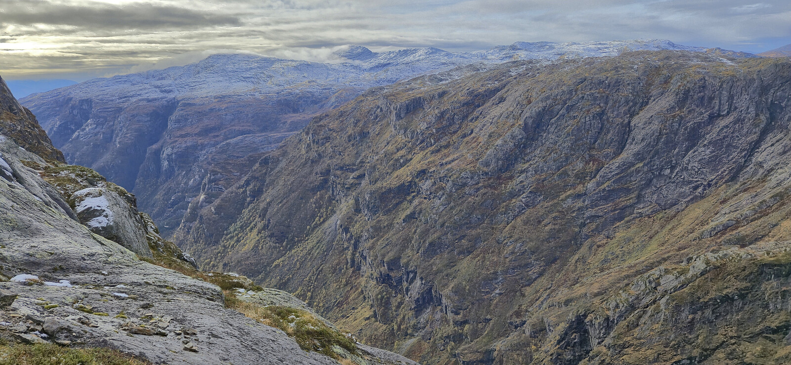
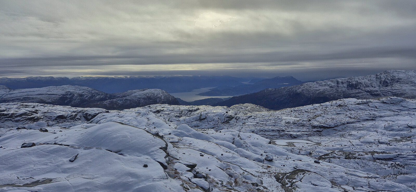
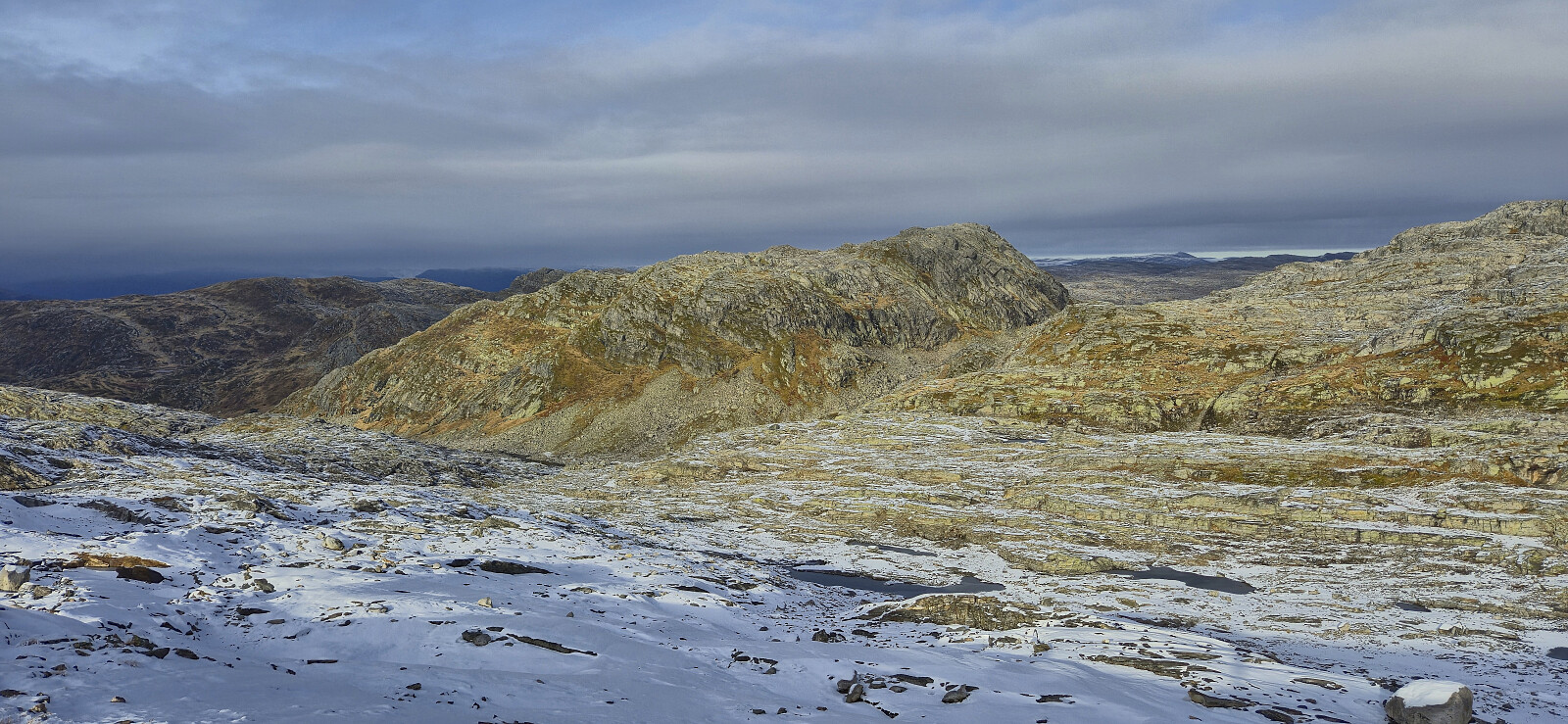
Another Sunday hike with Endre, this time with the goal for me to complete the Kvam ≥ 100m pf. list. After the drive from Bergen, we parked at Hodnaberg and started on the trail towards Kiellandbu. In Hardingaskardet we however left the main trail and instead followed a weaker trail heading to Songrø before rounding Songrøvatnet on the western side and starting an off-trail ascent of Middagshorgi.
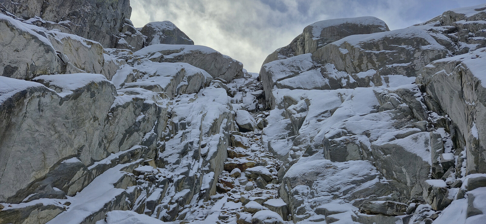
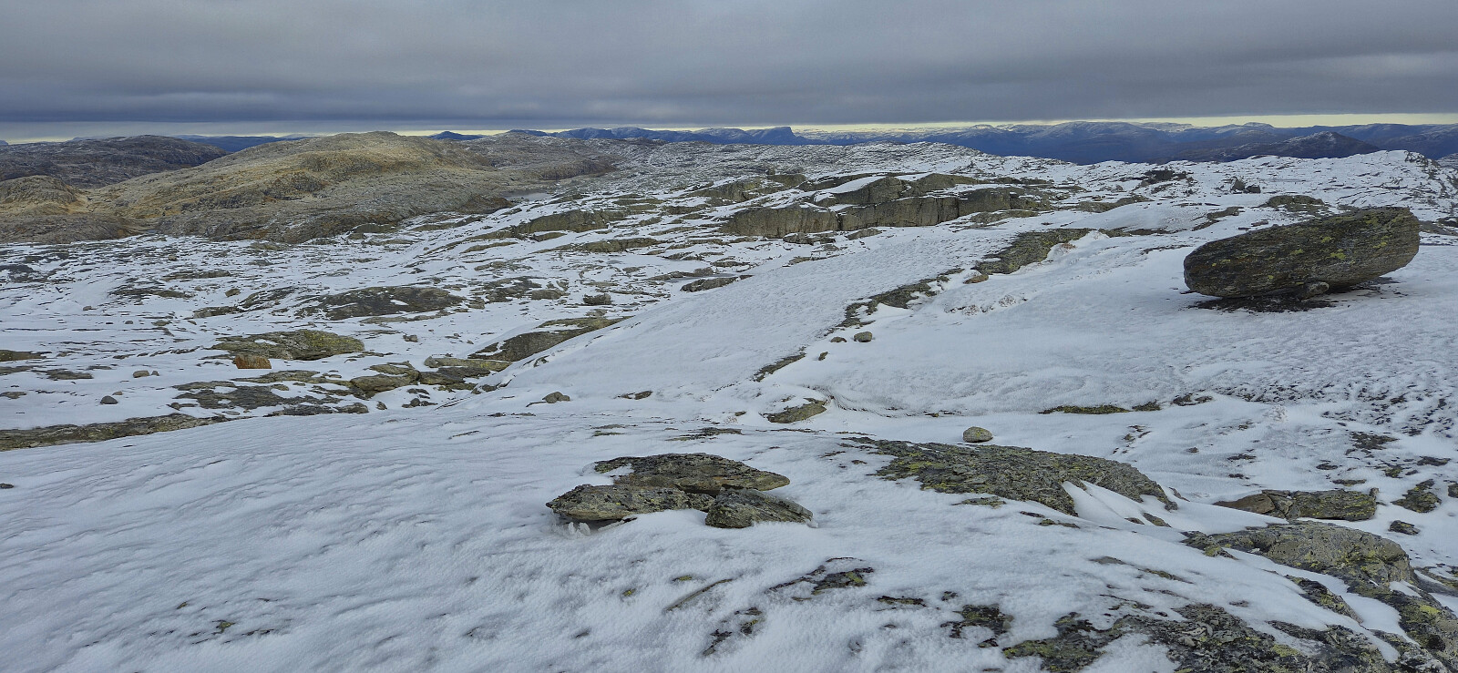
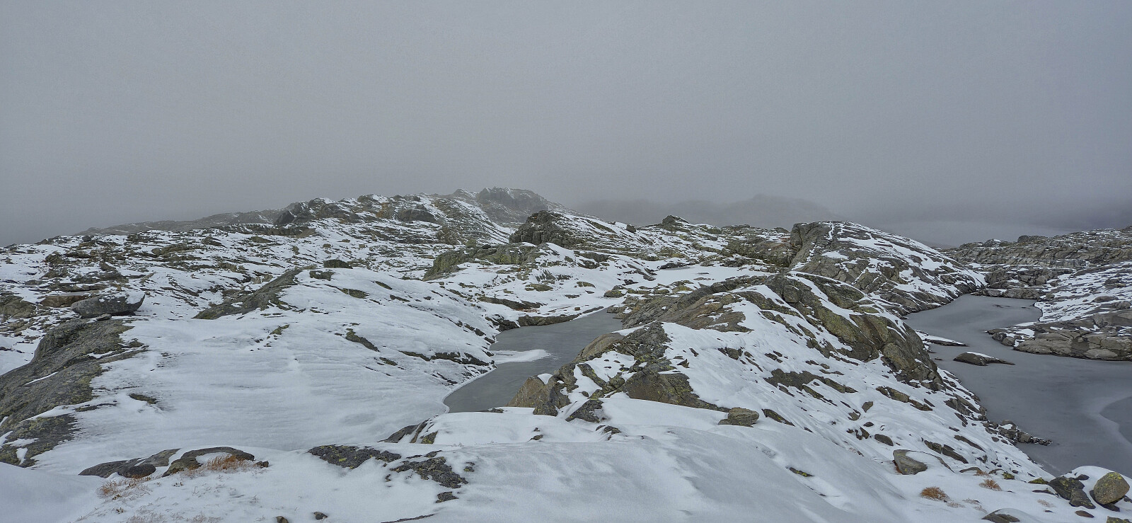
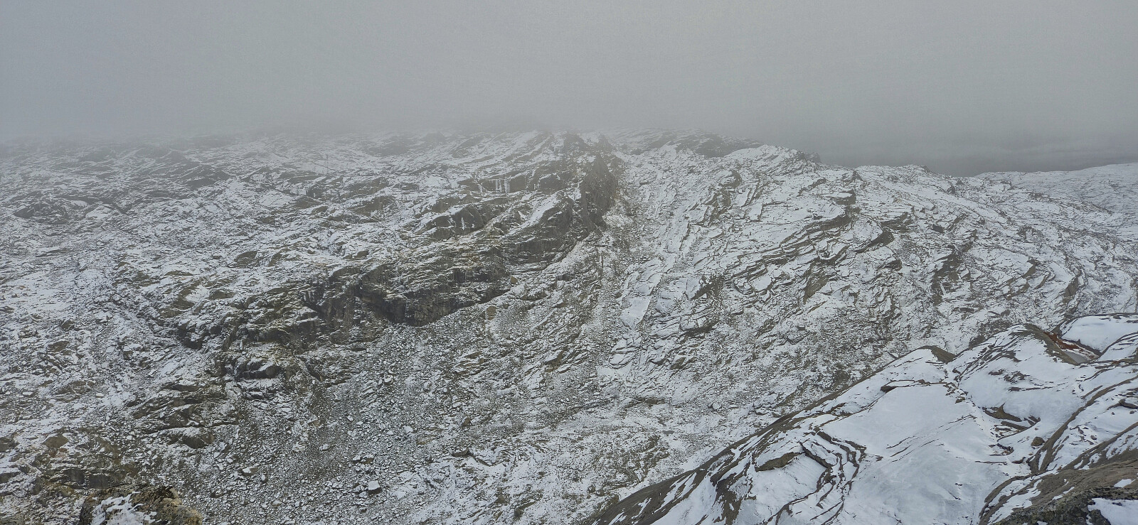
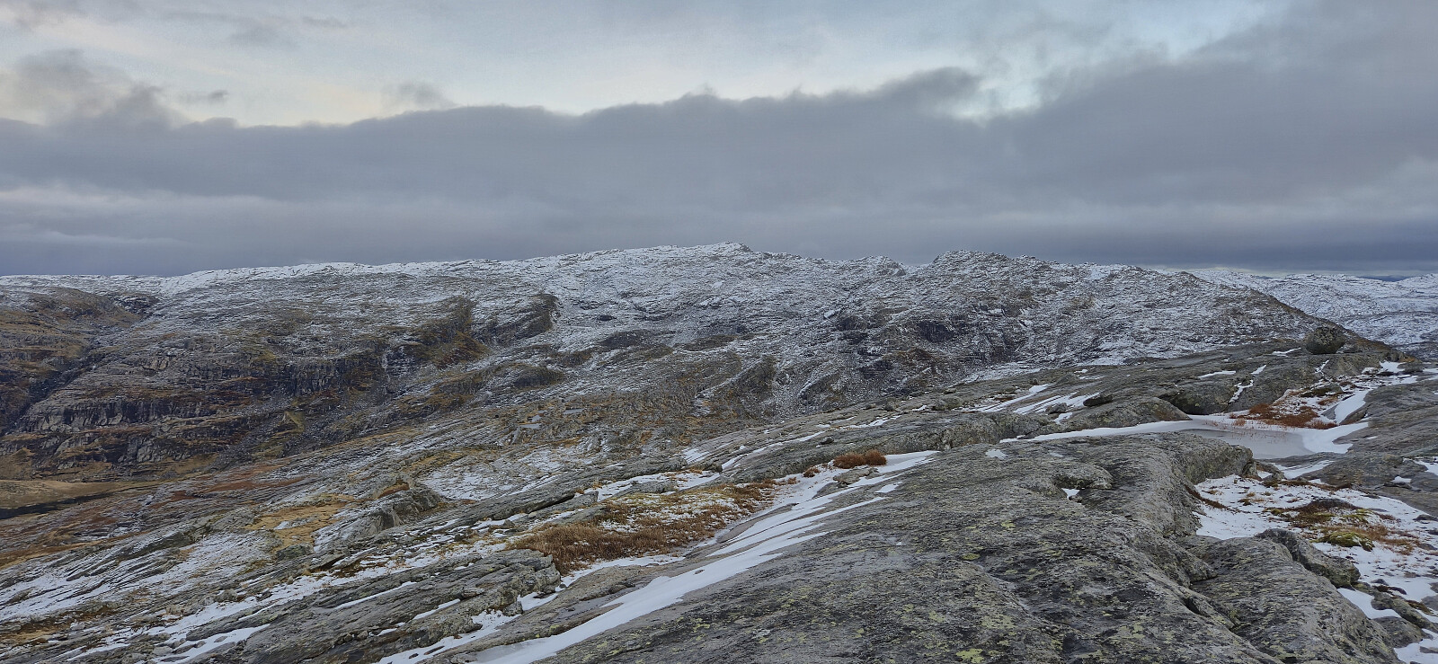
On the way to the summit we got separated and thus chose two slightly different routes. In fact, I did not see Endre, or his footprints in the snow, until I got almost to the summit. My ascent route provided excellent views into Trongedalen and across to Kiellandbu but did require some easy scrambling that was turned slightly more tricky by the slippery conditions.
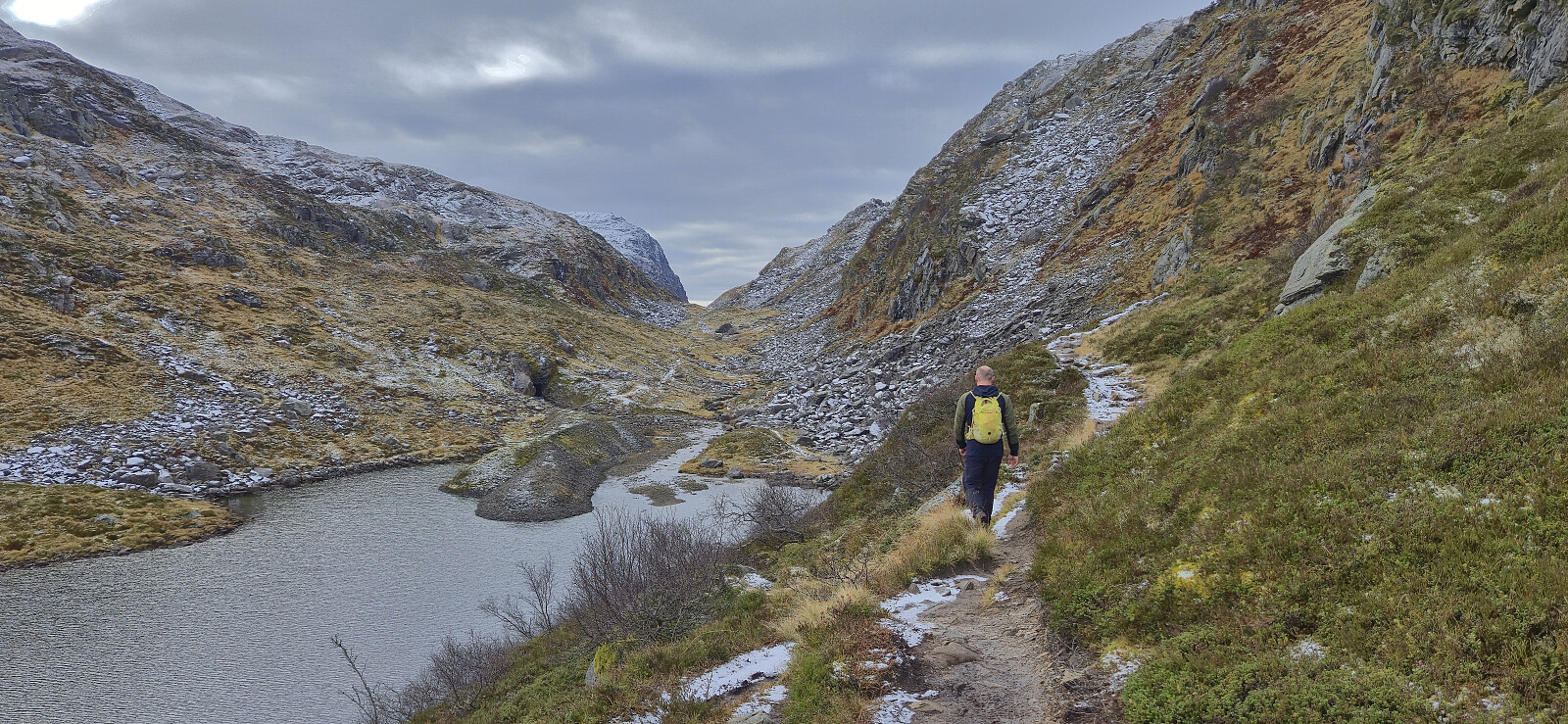
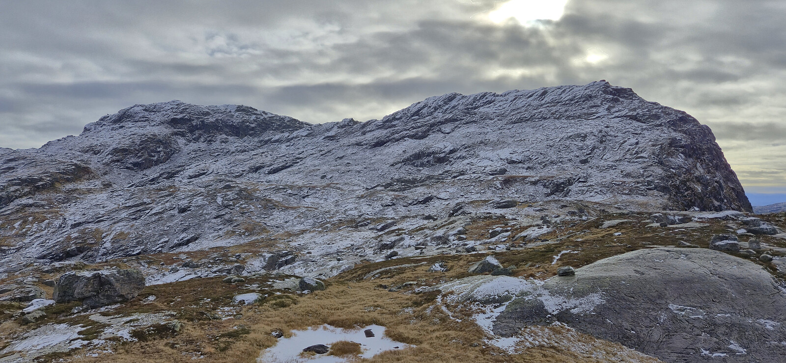
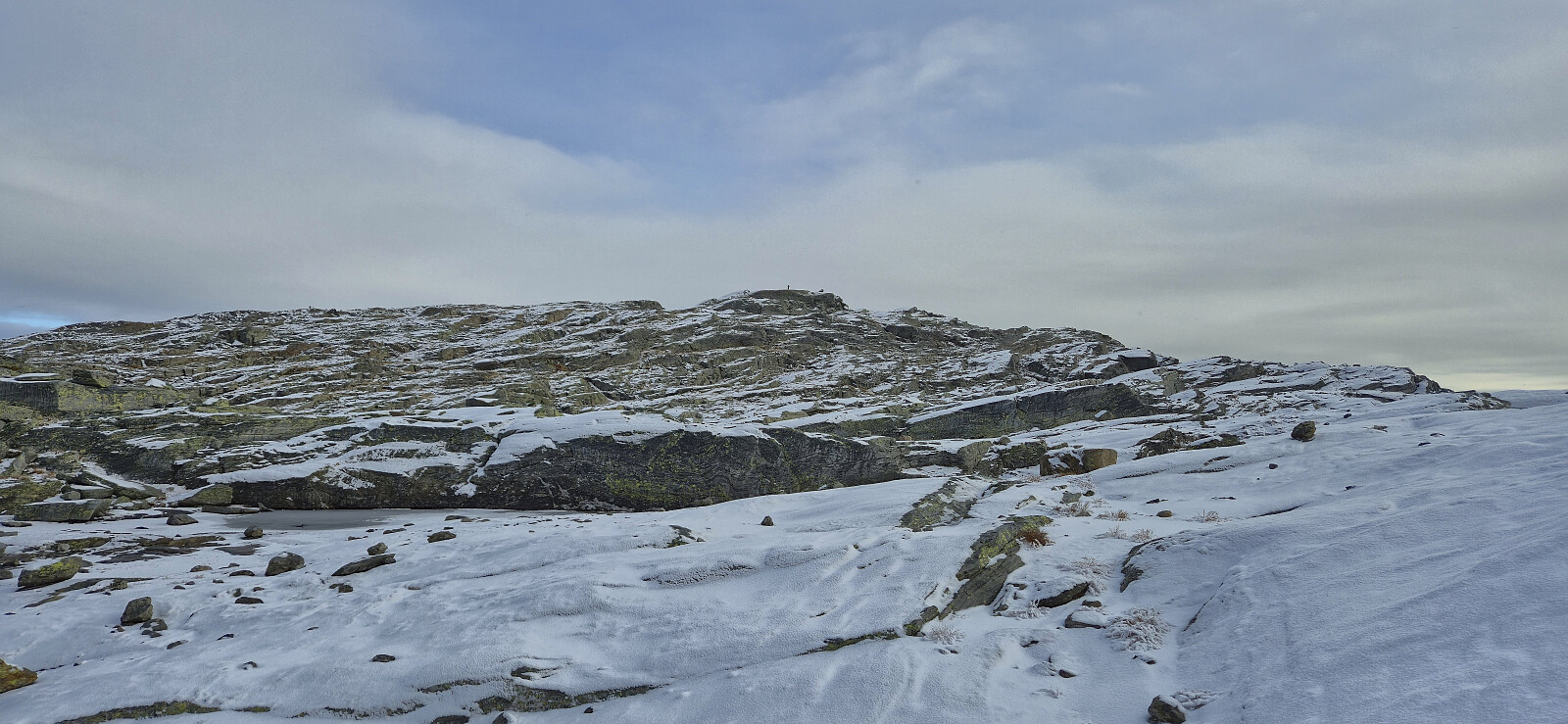
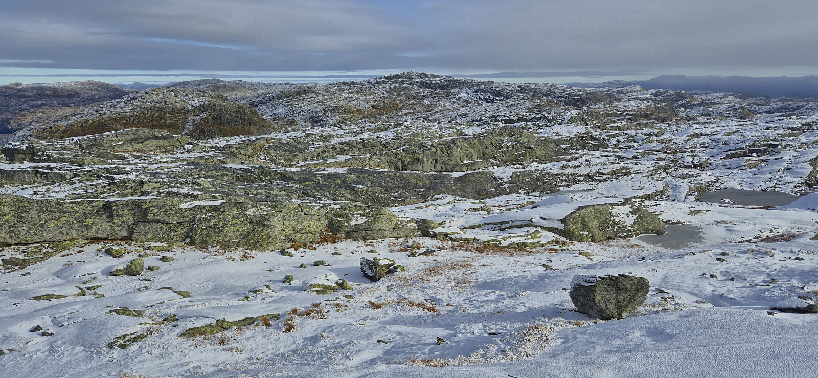
Given that Endre had already visited the three summits east of Middagshorgi, he now returned (almost) the same way to the car, while I continued on my own towards Kaldenuten. This required a lot more up and down than I had hoped for and was greatly complicated by the slippery conditions, at times even forcing me to alter my planned route. In the end, the summit was however reached without any real challenges.
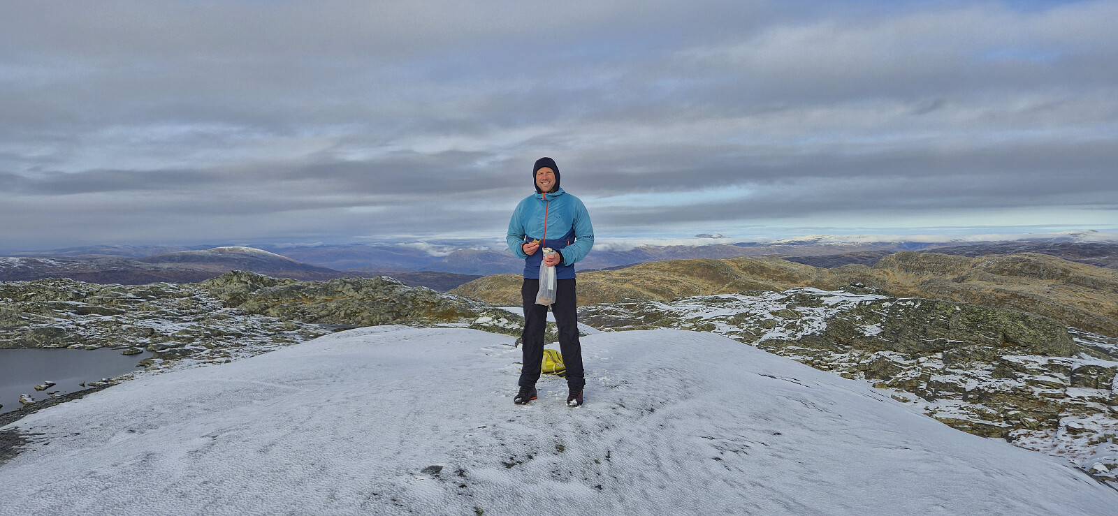
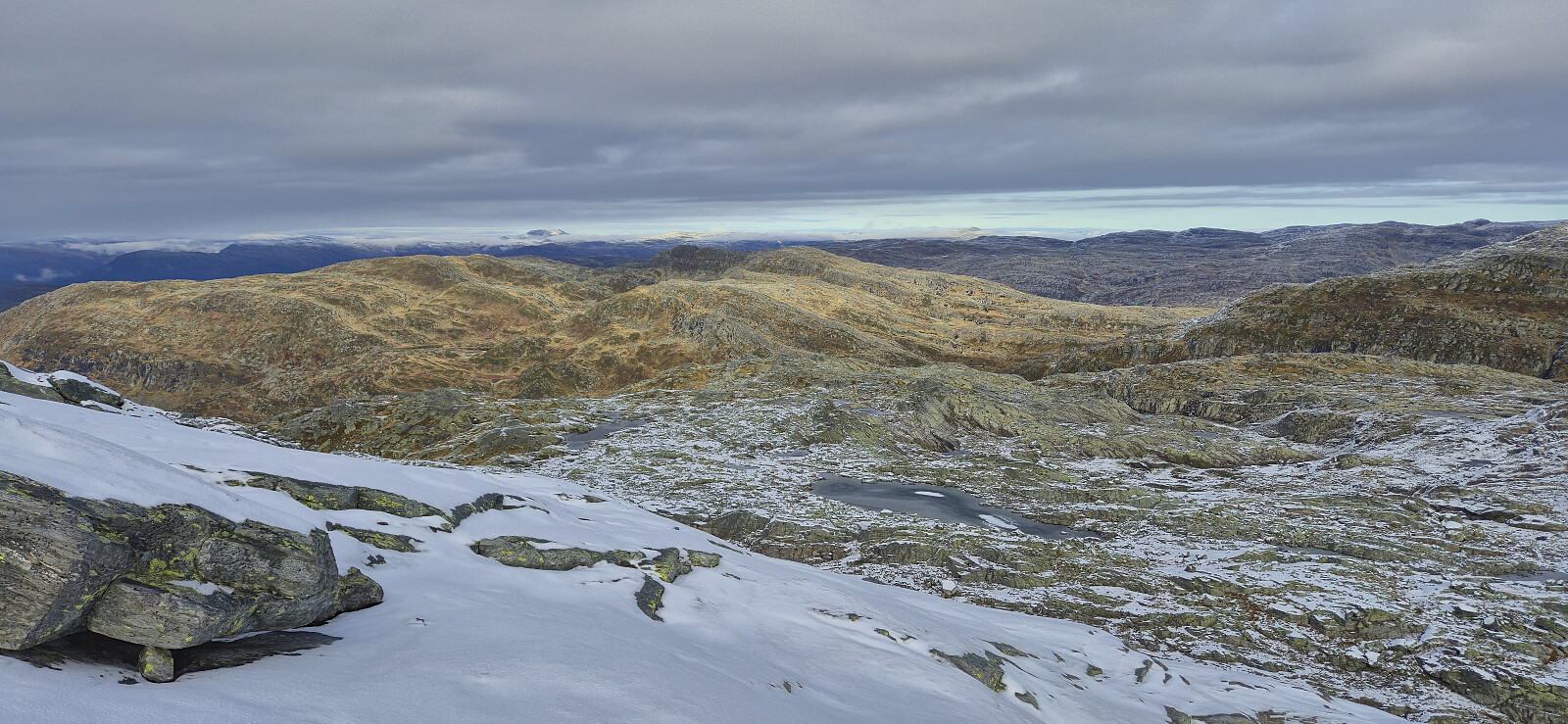
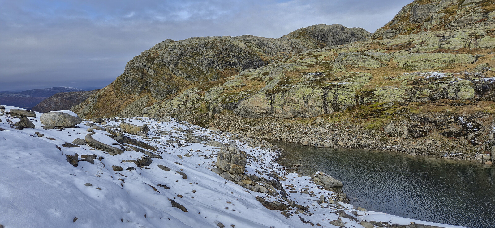
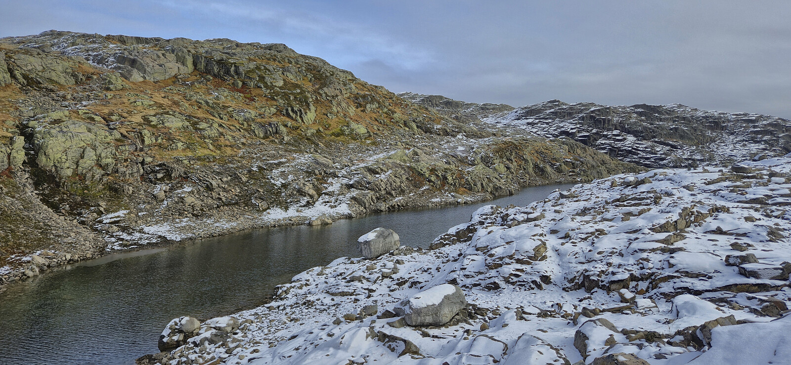
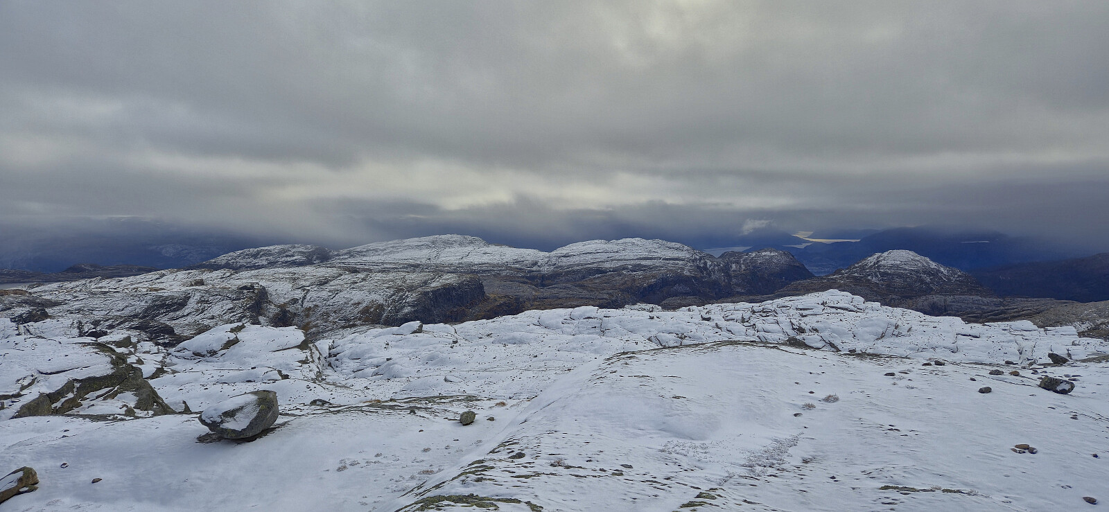
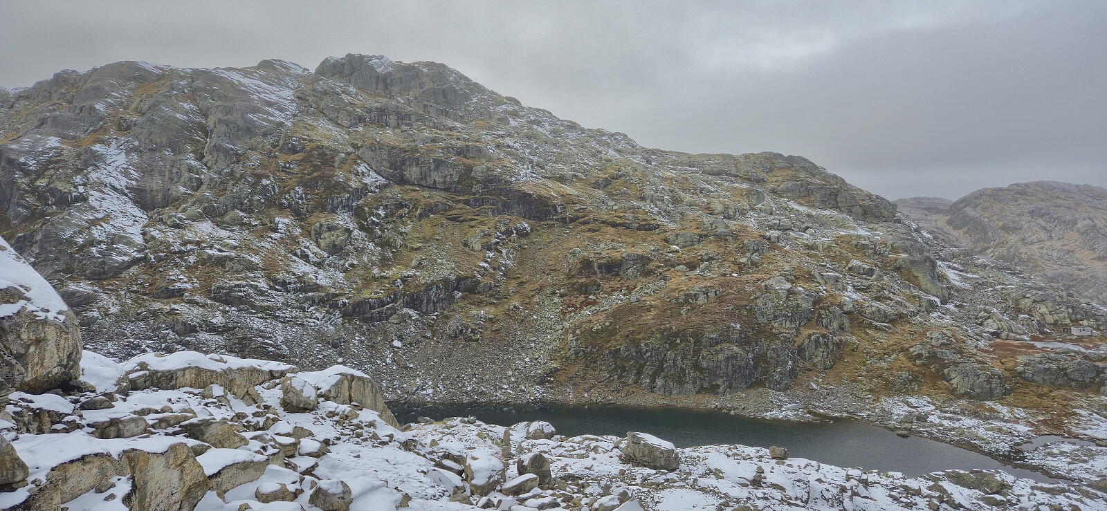
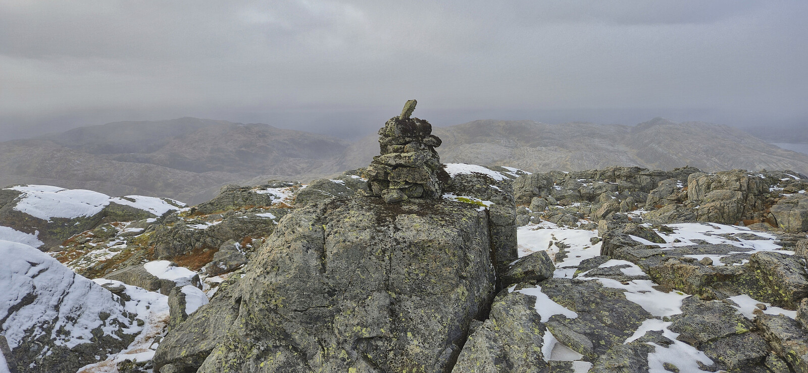
I did not stay long at Kaldenuten before turning my attention towards Vetlekaldenuten and starting to navigate to the small unnamed lake just east of the peak. Once more, the conditions made the progress slow and I even had to backtrack once or twice when the terrain would not allow me to proceed. After getting to the small lake it was however relatively easy to ascend to the summit. Here I had a short break before descending northeast along the ridge.
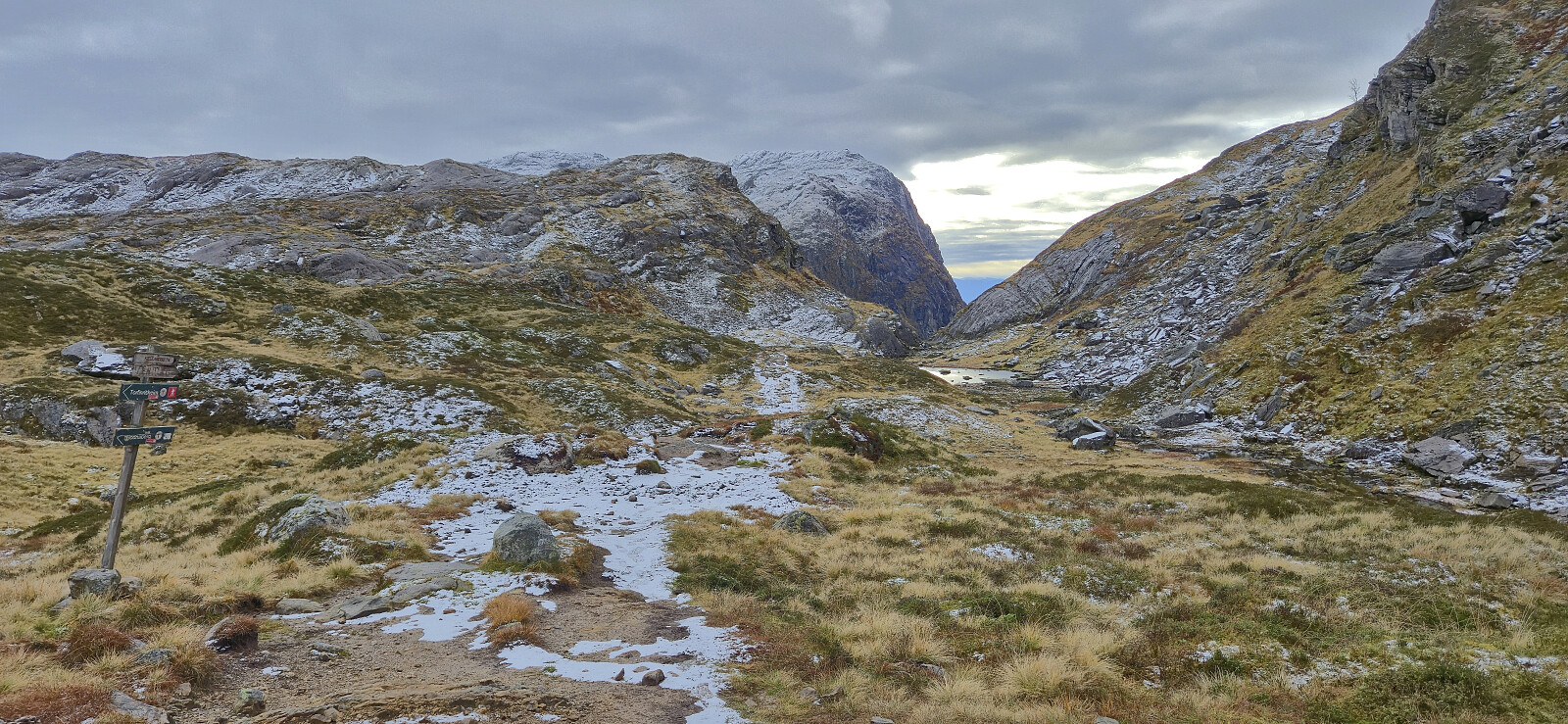
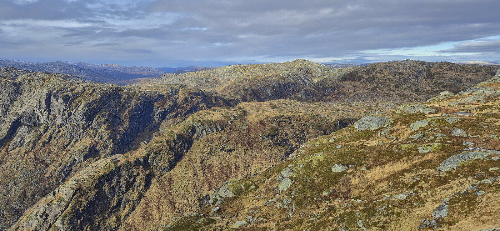
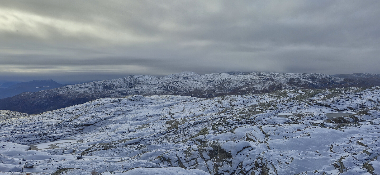
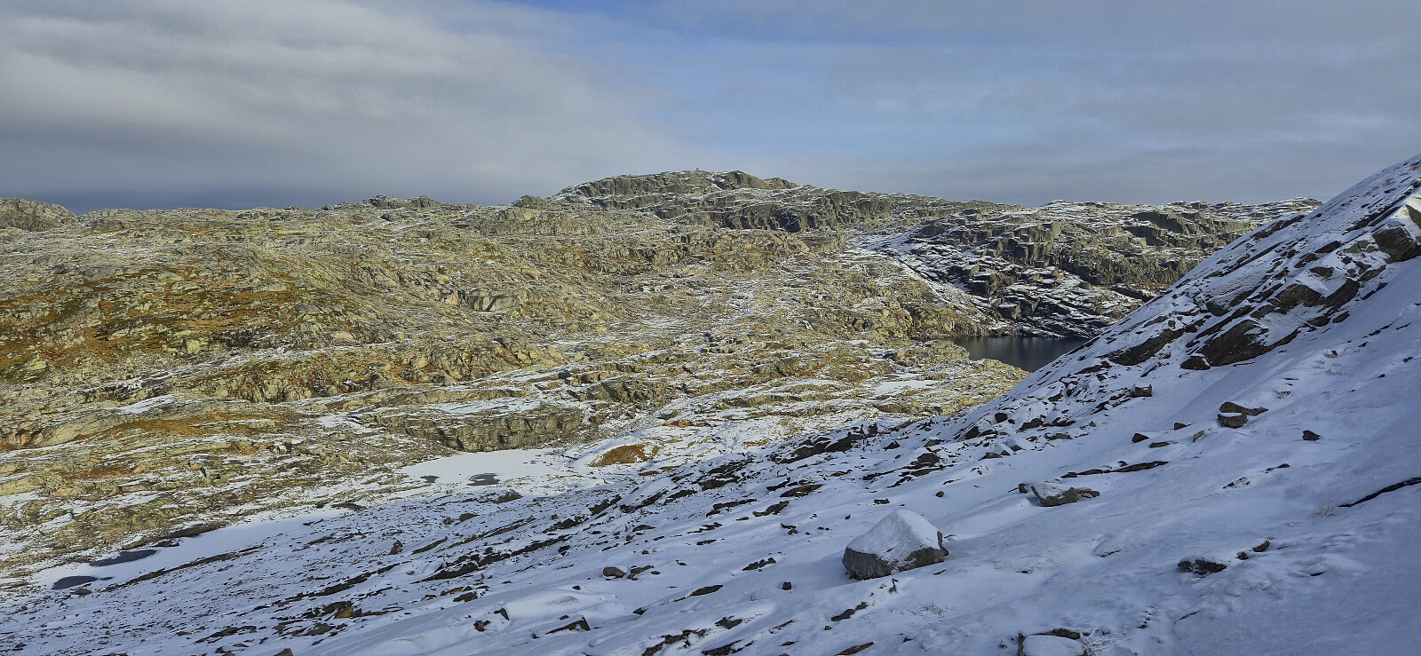
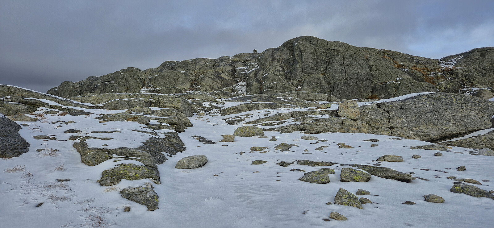
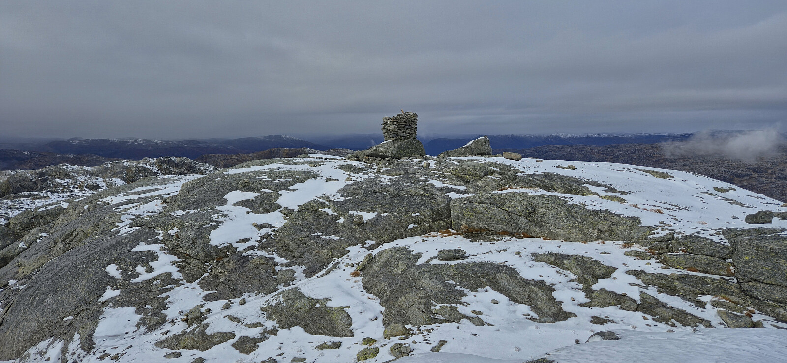
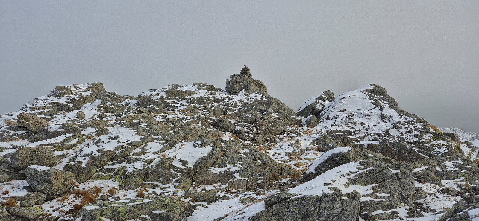
The descent from Vetlekaldenuten was a minor gamble as I was not 100% sure that I could find a route all the way to Vonbrotet, but it worked out fine and only included one or two dead ends that had to be reversed. From Vonbrotet it was straightforward to complete the ascent to the summit of Haugane, the fourth and final summit of the day, and the last summit on the Kvam ≥ 100m pf. list.
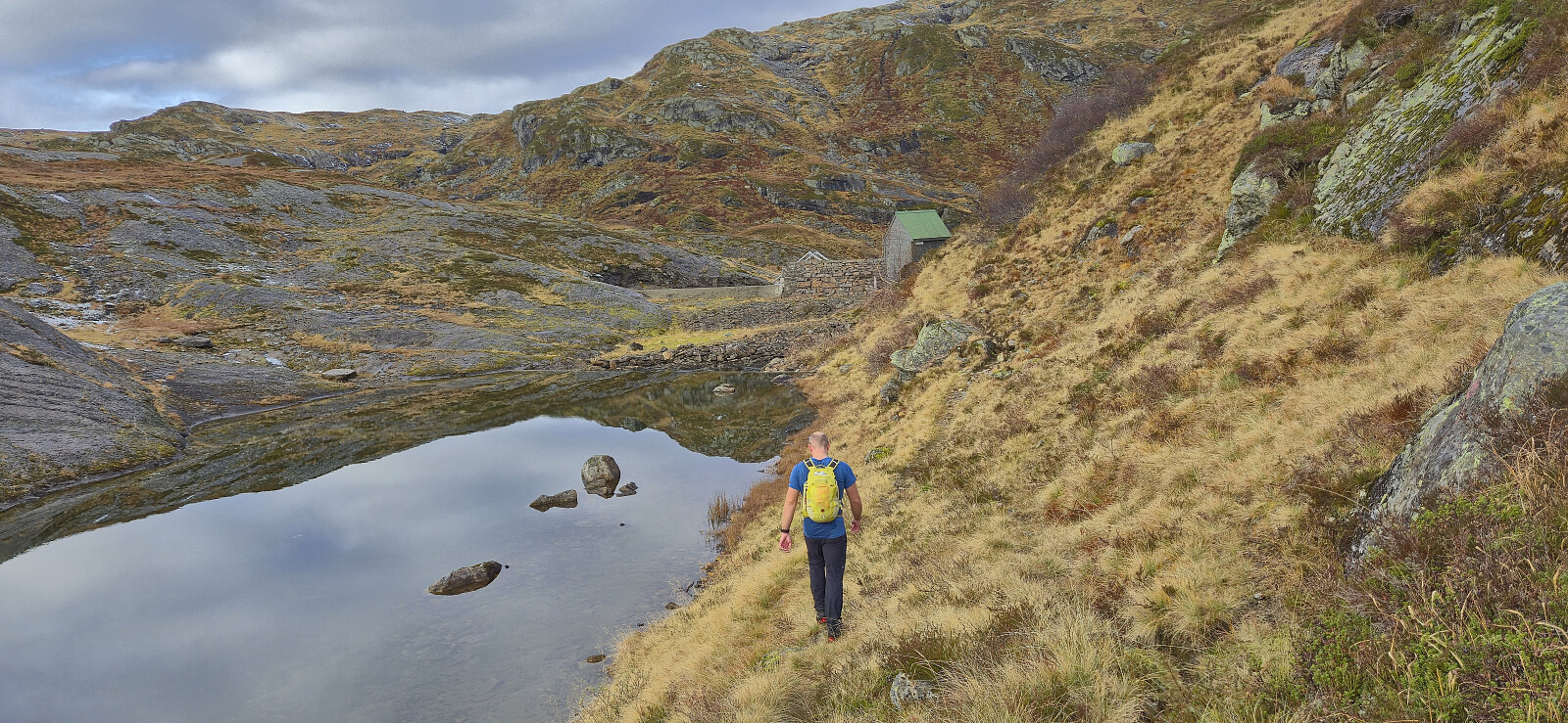
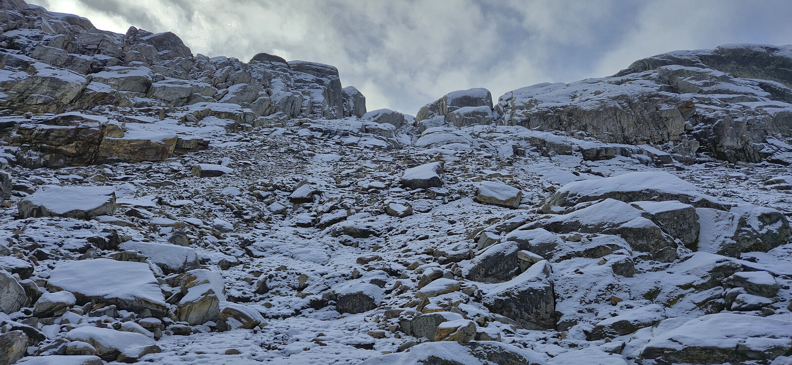
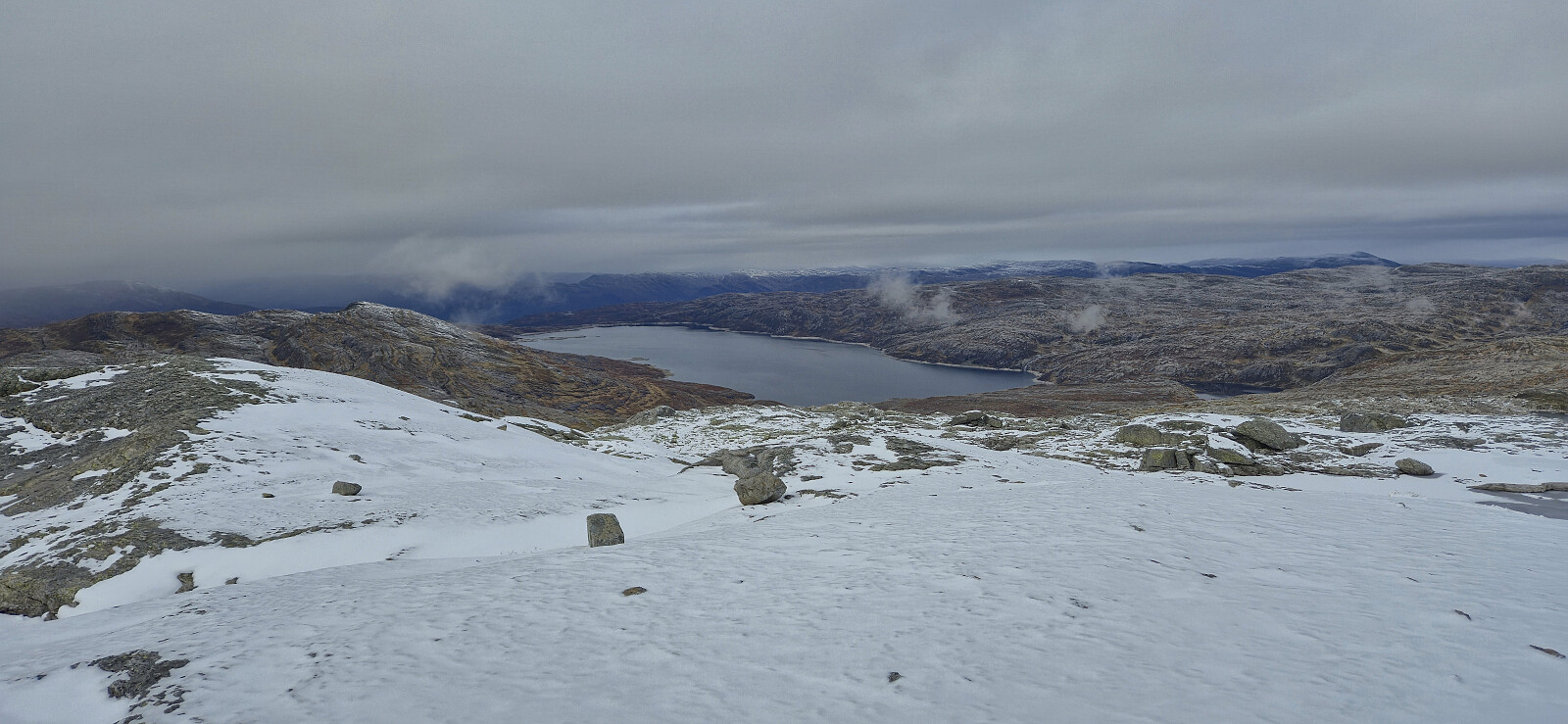
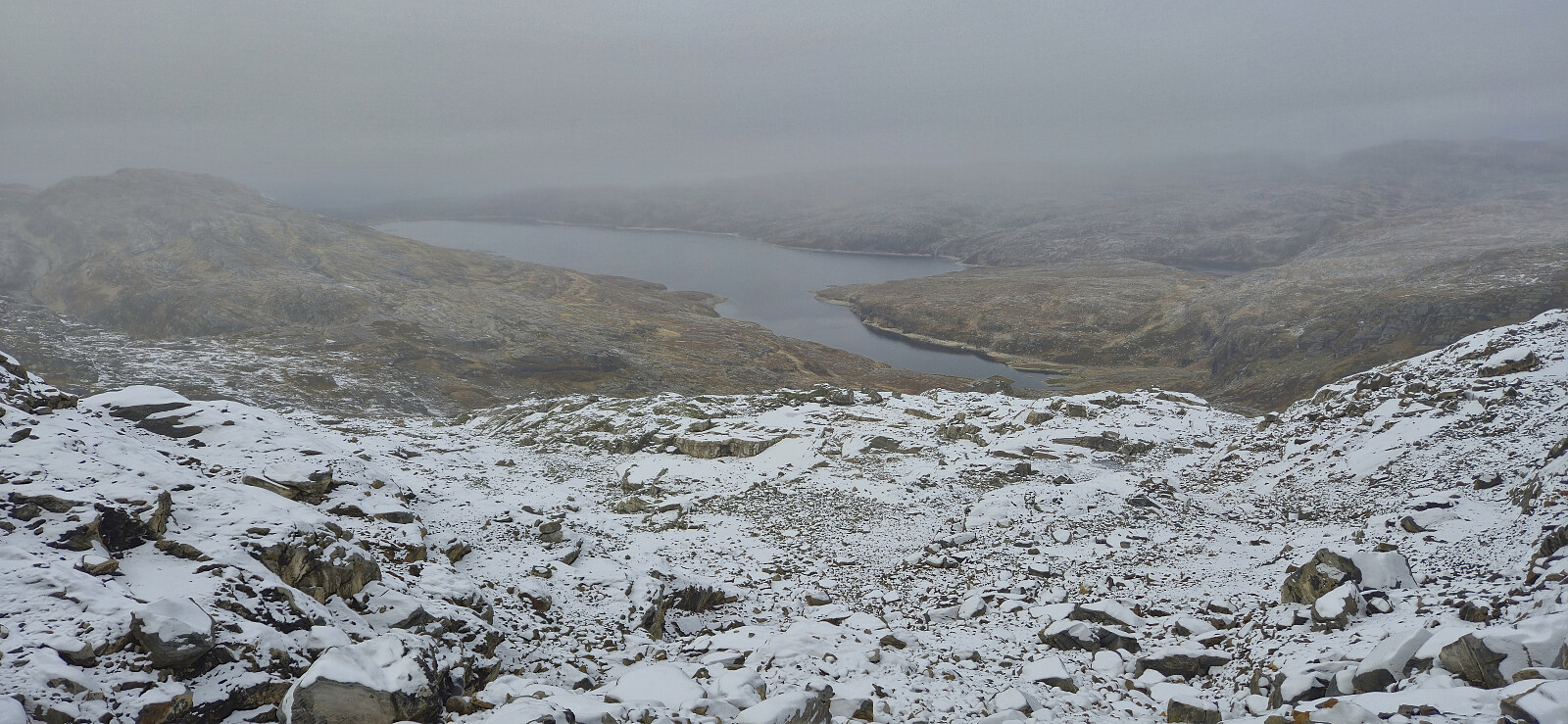
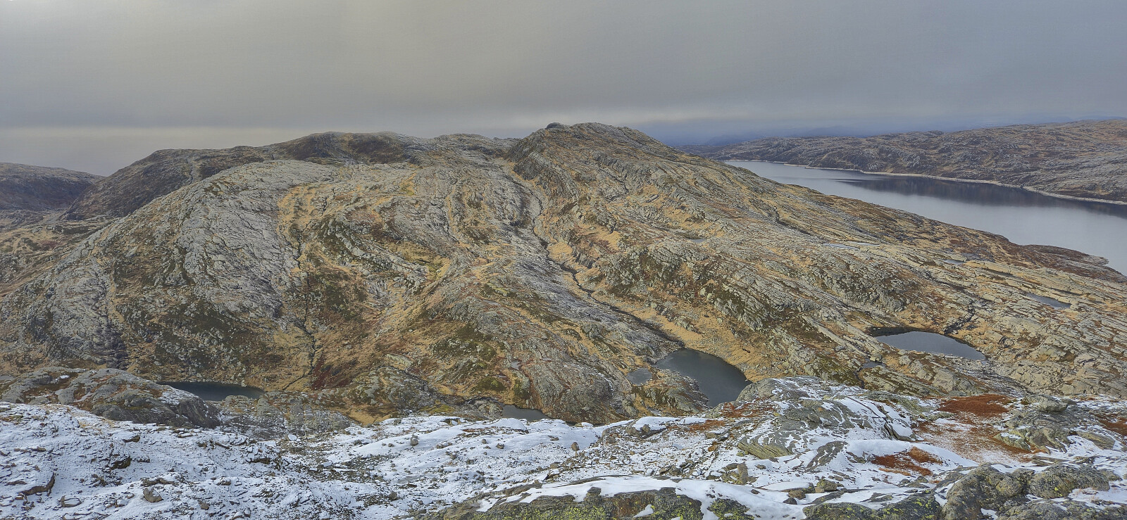
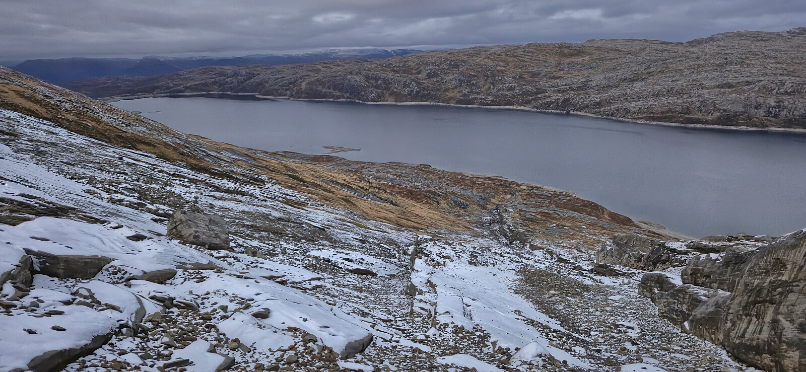
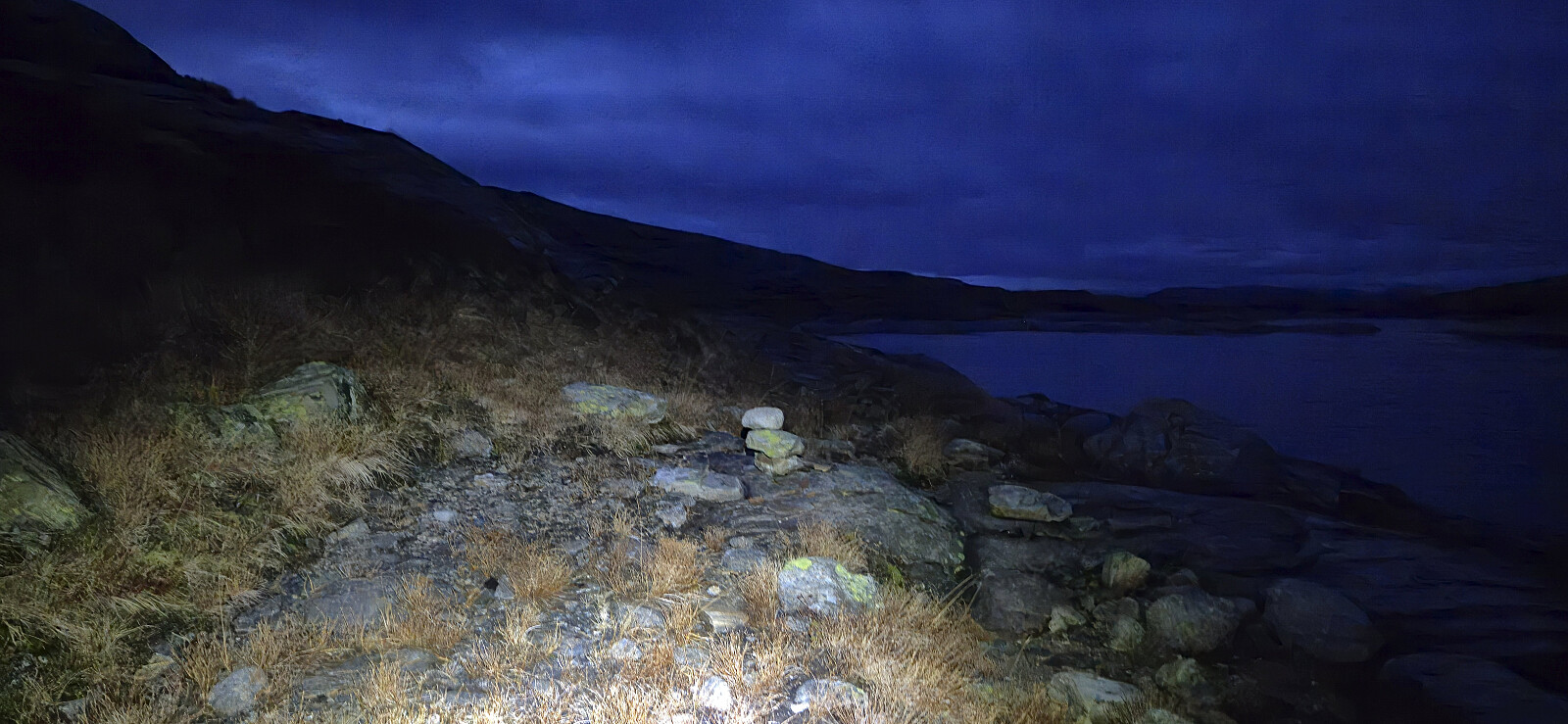
All that remained was to get back to the parking lot at Hodnaberg. As it was starting to get dark, I decided to aim for the trail along Torfinnsvatnet, which would hopefully simplify the rest of the hike. Getting down to the trail however turned out to be more difficult than expected, largely due to the slippery conditions created by the thin layer of snow. As a result I got stuck several times and I had to backtrack to find a better and safer route.
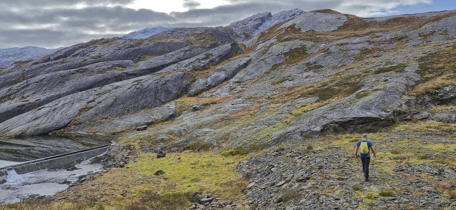
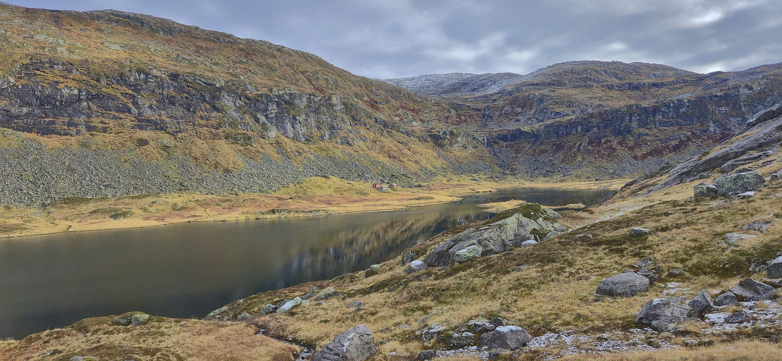
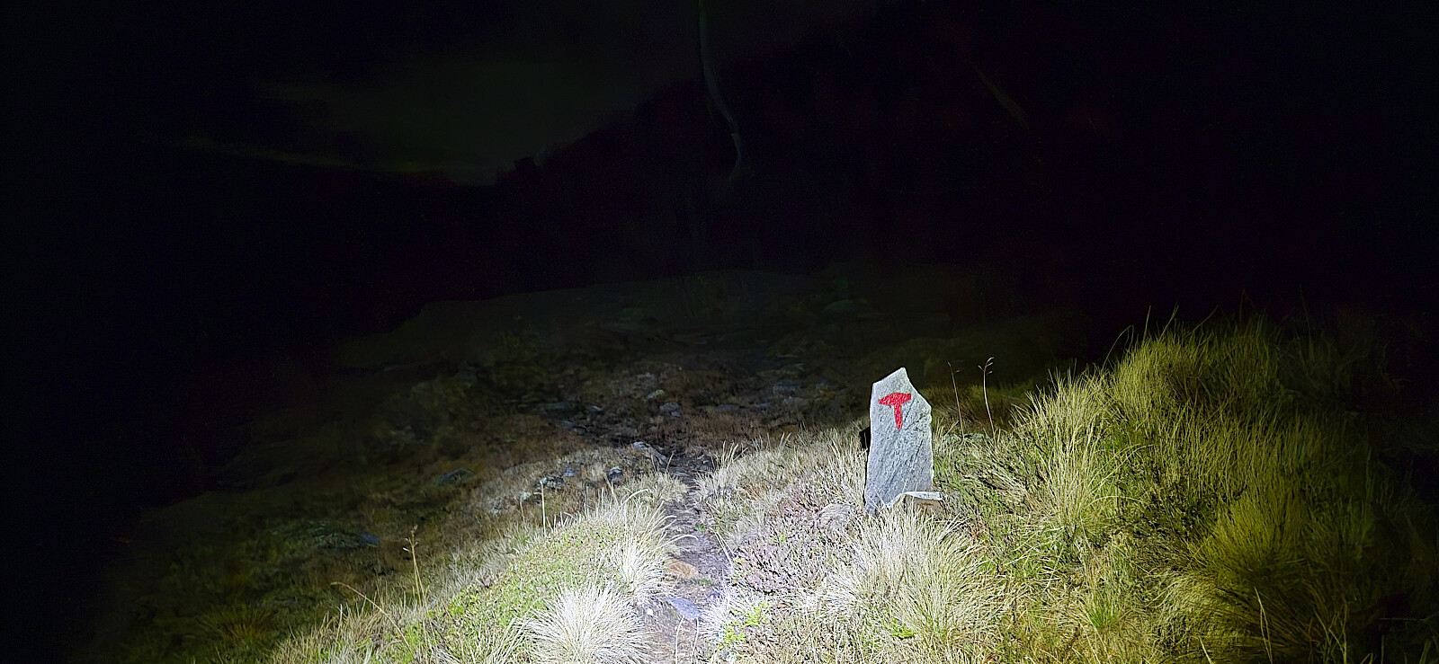
When I finally made it to the trail it was getting dark and the headlamp came on in order to see the trail. I still lost it a couple of times on my way to Vassviki. Here I completely lost the trail just as I was approaching a steep area. I therefore quickly abandoned the search for the trail and instead found my own way around the steep section and later reconnected with the trail as I got near the dam north of Vassviki. From Vassviki it was then relatively easy to follow the T-marked trail via Nedre Kvålsdalstjørni back to Hodnaberg.
Due to the slippery conditions and the darkness setting in for the last part of the hike, it had taken me much longer than expected to complete my roundtrip. Thankfully I had been able to communicate with Endre along the way such that he knew roughly where I was and when he could expect me. Since we departed at Middagshorgi he had spent the time ascending Kjerringfjellet but still had to wait almost two hours before I finally showed up.
Tusen takk for turen, Endre! Og beklager den lange ventingen! :)
| Startzeitpunkt | 19.10.2025 10:27 (UTC+01:00 SZ) |
| Endzeitpunkt | 19.10.2025 21:00 (UTC+01:00 SZ) |
| Gesamtzeit | 10h 32min |
| Zeit in Bewegung | 8h 56min |
| Pausenzeit | 1h 36min |
| Gesamtschnitt | 2,5km/h |
| Bewegungsschnitt | 3,0km/h |
| Entfernung | 26,7km |
| Höhenmeter | 1.653m |

Benutzerkommentare
Gratulerer med ny fulført lis
Geschrieben von Kjell51 21.10.2025 14:10Gratulerer med fulført Kvam ≥ 100m pf. liste. Ser du fikk deg en litt tøff tur med en del utfordringer. Men du tok deg tid til å ta menge fine bilder, og Endre hadde sikkert godt av en hvil før kjøreturen hjem.
Re: Gratulerer med ny fulført
Geschrieben von hbar 21.10.2025 17:00Takk skal du ha! Ble en litt tyngre tur enn jeg hadde forventet ja, men kom i mål til slutt. :)