Morkafjellet from Verpelstad (18.01.2025)

| Startpunkt | Verpelstad (312m) |
|---|---|
| Endpunkt | Verpelstad (312m) |
| Tourcharakter | Bergtour |
| Tourlänge | 2h 56min |
| Entfernung | 7,0km |
| Höhenmeter | 611m |
| GPS |
|
| Besteigungen | Morkafjellet (917m) | 18.01.2025 11:05 |
|---|---|---|
| Besuche anderer PBE | Verpelstad p-plass (312m) | 18.01.2025 09:28 |
| Verpelstadstølen (688m) | 18.01.2025 10:18 |
Morkafjellet from Verpelstad
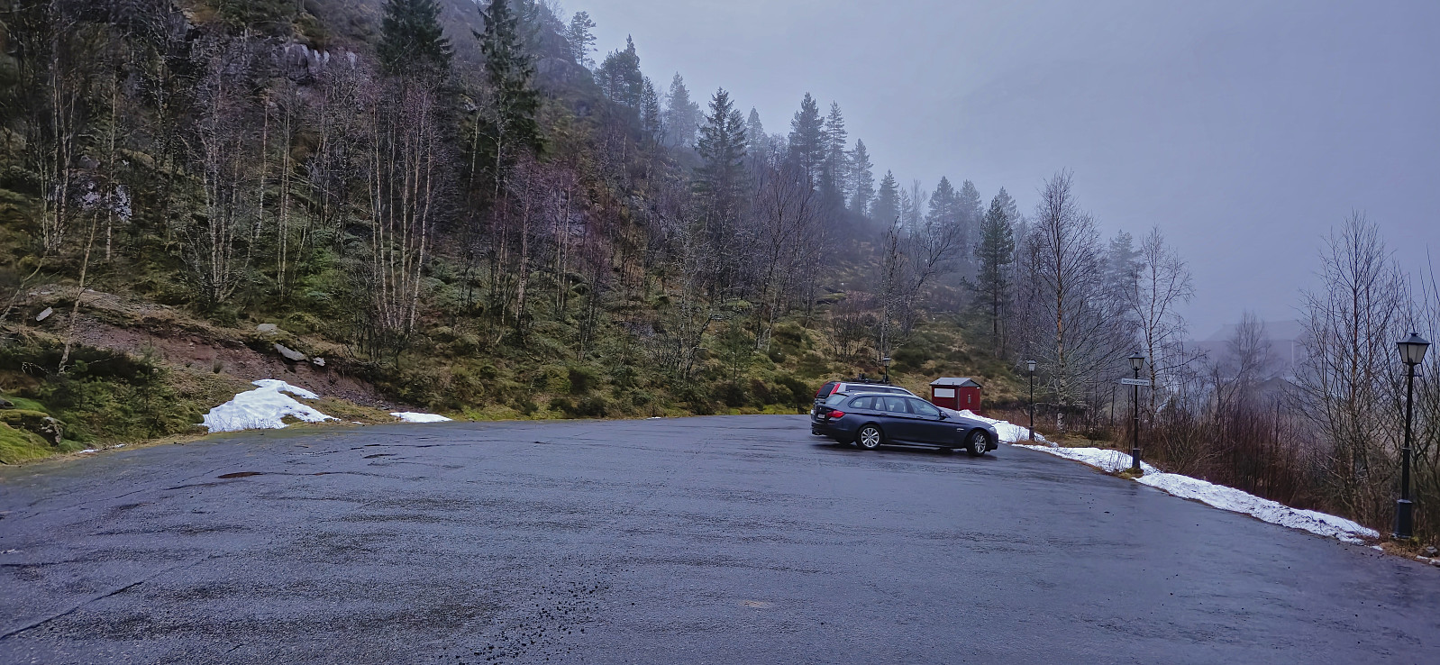
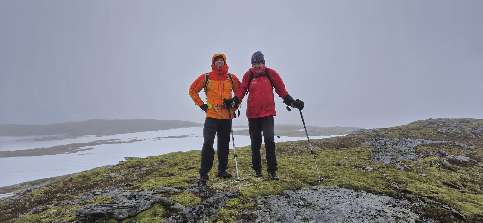
After three days on the couch due to a bad cold, I recovered just in time for a short Saturday hike to Morkafjellet with Petter and Endre. Petter picked me up at my place at 08:00 and we met up with Endre at the surprisingly large parking lot at Verpelstad a bit more than an hour later.
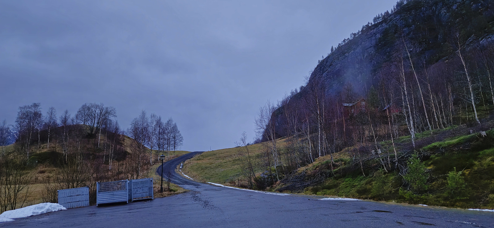
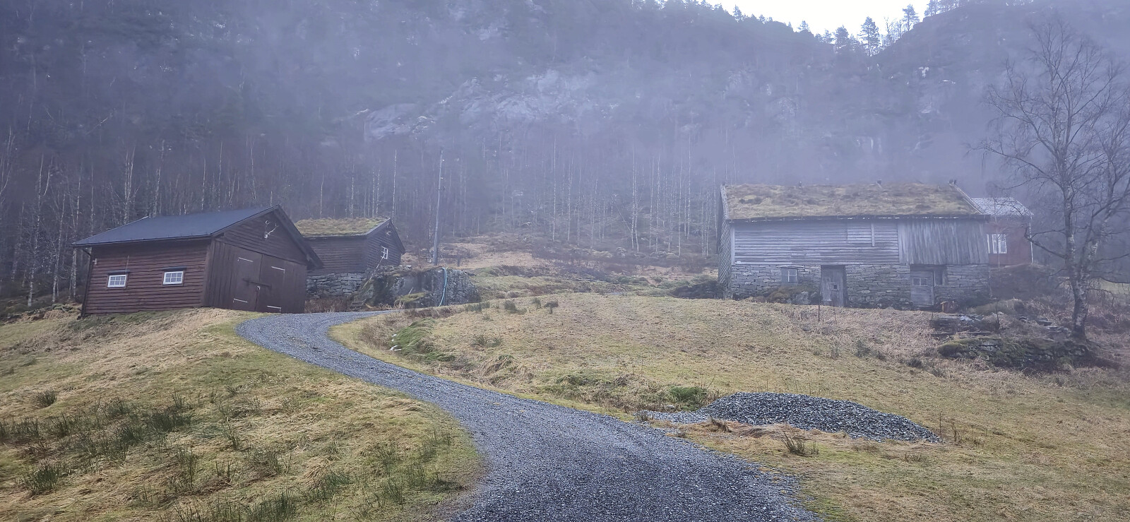
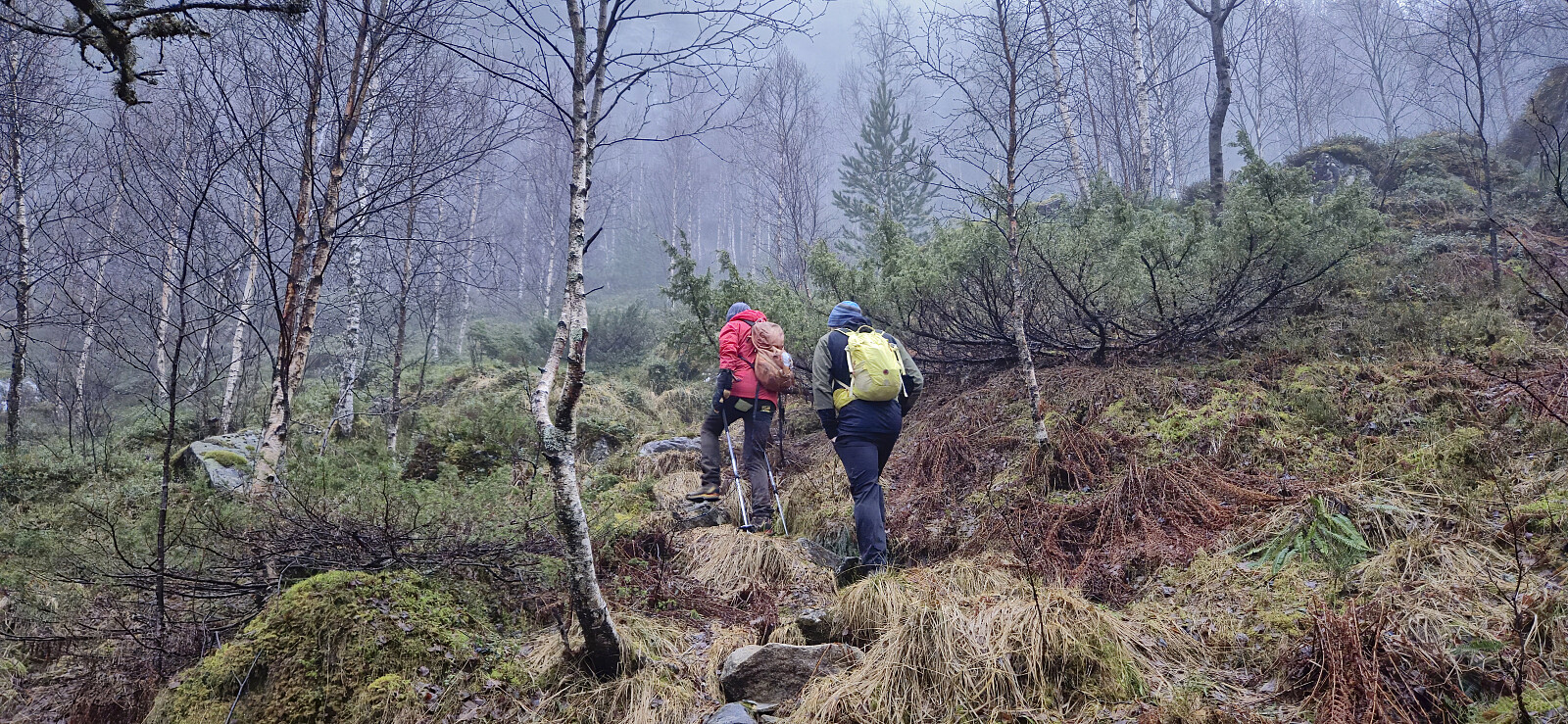
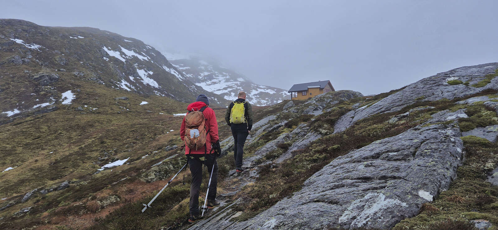
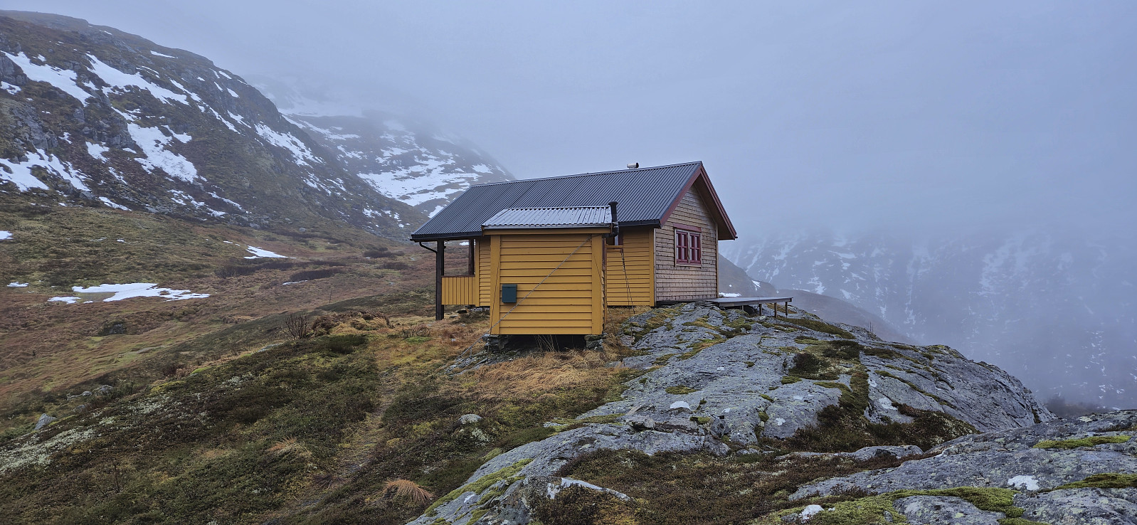
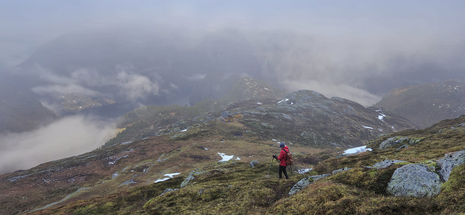
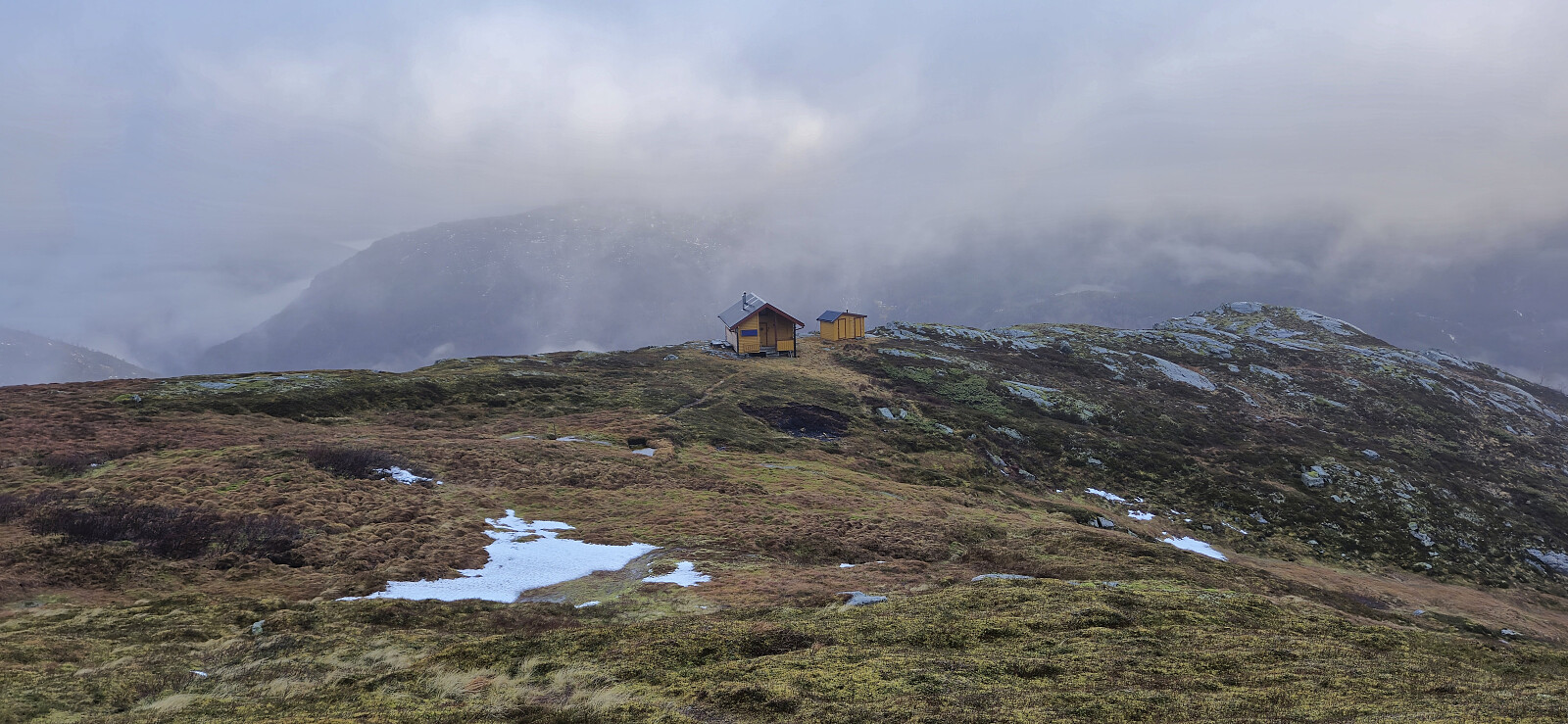
Thanks to an external report we easily located the unmarked trailhead behind the houses just northeast of the parking lot and from there followed a partially marked trail all the way to Verpelstadstølen (except for doing our own "shortcut" just below the cabin when briefly losing the trail, see the return track for the correct route).
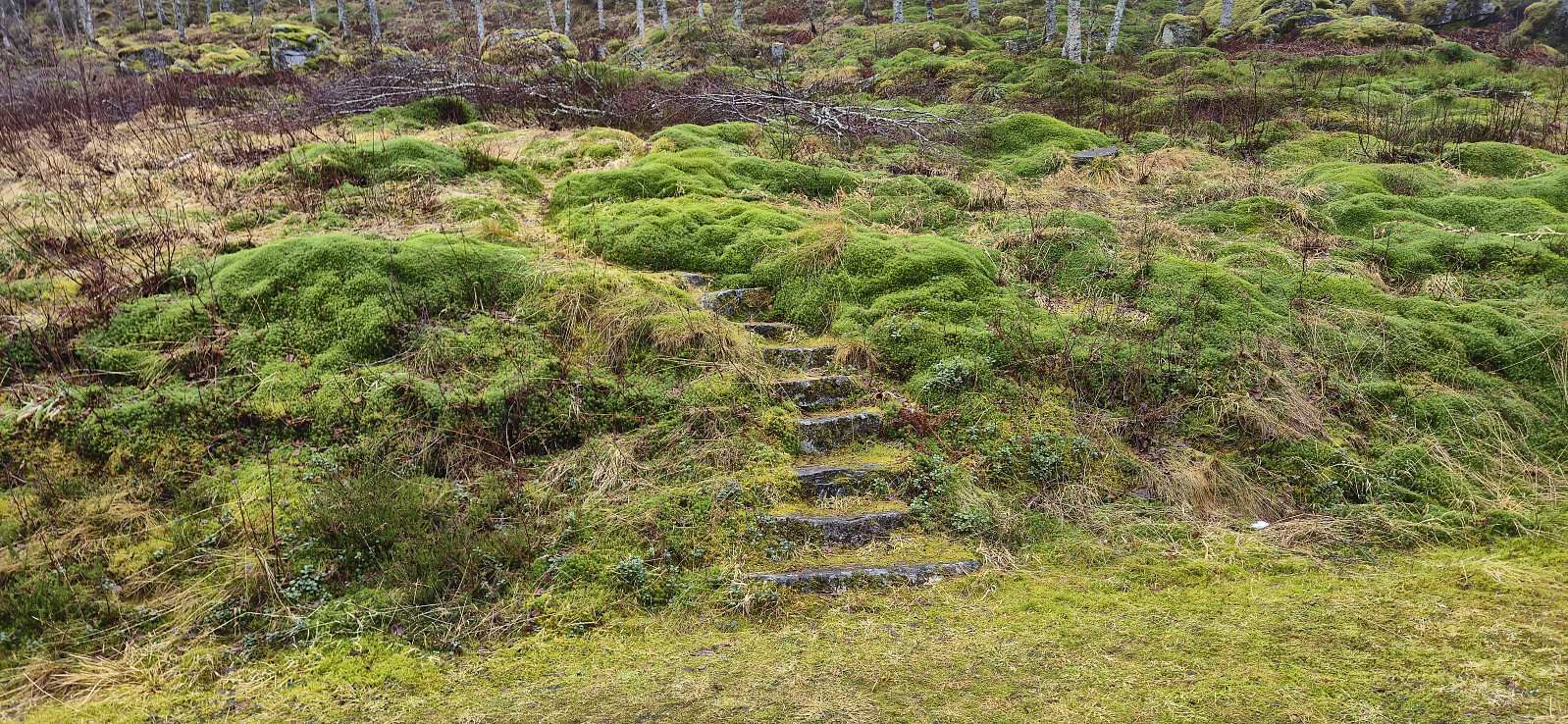
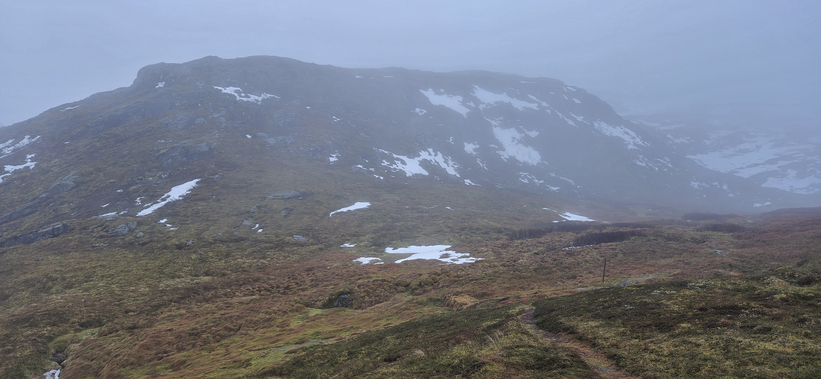
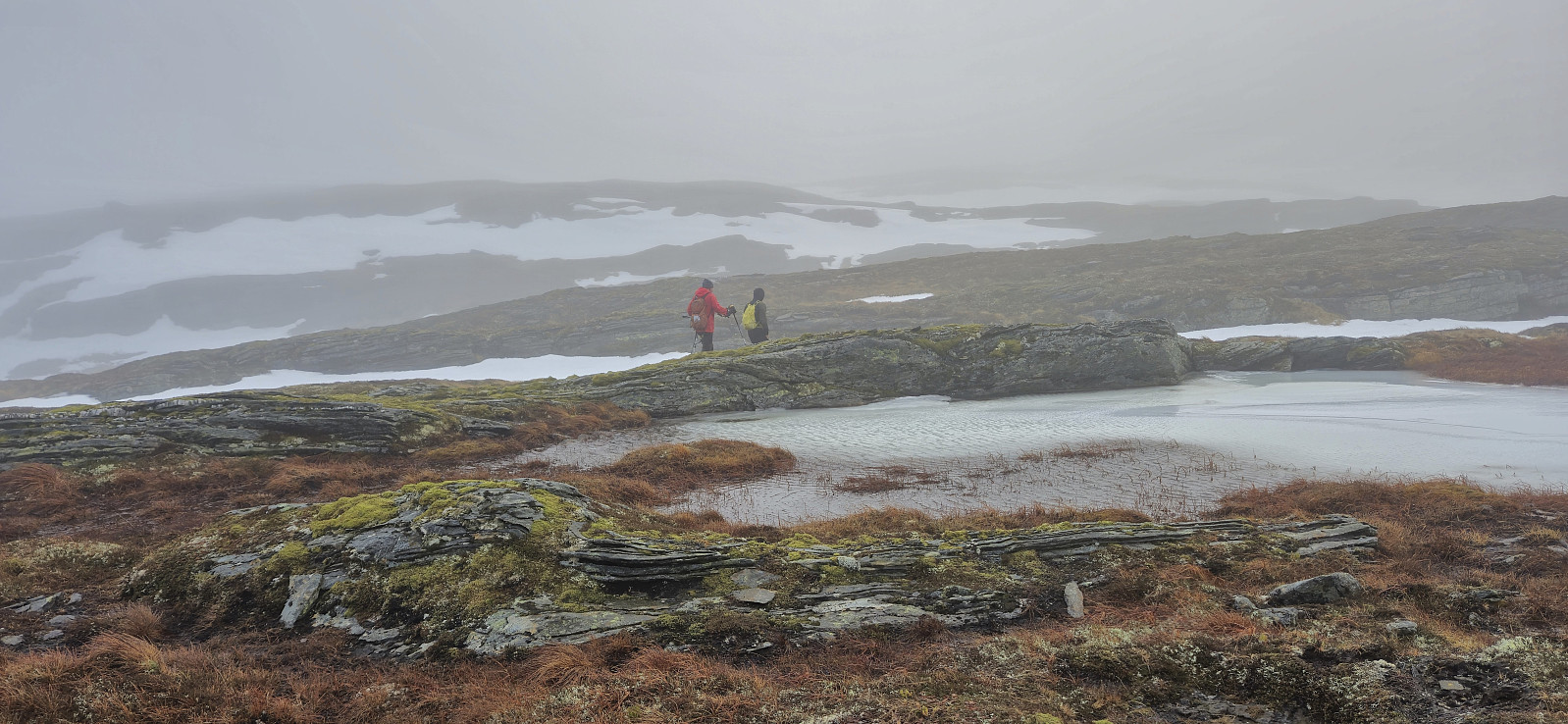
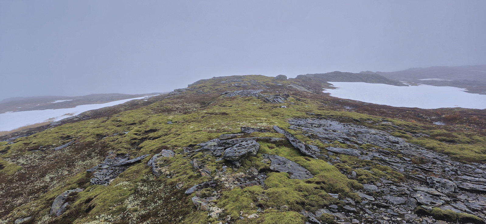
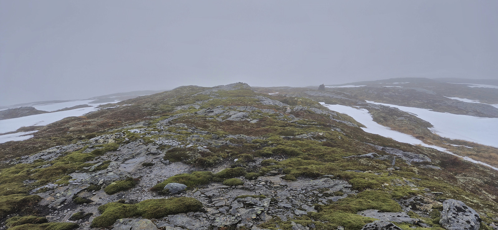
From Verpelstadstølen there was a weaker trail up the first steep slope but soon we were simply making our own way towards the summit. There were several large patches of snow that had to be crossed but there was significantly less snow than expected for the middle of January. So while we did sink deep into the snow on more than a couple of occasions it was overall straightforward to reach the unmarked highest point of Morkafjellet. The dense fog and cold wind however made for a brief visit and we shortly began our descent along more or less the same route. Petter and I then returned to Bergen, while Endre drove east to also ascend Jonshorgi and Slåttenovi.
To conclude, a nice short hike that provides relatively easy access to Morkafjellet, and if done during better conditions than what we had the views are probably also quite good.
| Startzeitpunkt | 18.01.2025 09:28 (UTC+01:00) |
| Endzeitpunkt | 18.01.2025 12:24 (UTC+01:00) |
| Gesamtzeit | 2h 56min |
| Zeit in Bewegung | 2h 46min |
| Pausenzeit | 0h 9min |
| Gesamtschnitt | 2,4km/h |
| Bewegungsschnitt | 2,5km/h |
| Entfernung | 7,0km |
| Höhenmeter | 611m |

Benutzerkommentare
Ser litt surt ut på toppen
Geschrieben von Kjell51 19.01.2025 00:02Jeg venter til våren med litt sol og varme så går jeg samme turen.
Re: Ser litt surt ut på toppe
Geschrieben von hbar 19.01.2025 21:05Kan nok være en god plan å vente til våren ja! Og om du velger en dag uten tåke blir nok trolig også utsikten betraktelig mye bedre. :)