Rislikampen (27.10.2024)

| Startpunkt | Søylen (76m) |
|---|---|
| Endpunkt | Søylen (76m) |
| Tourcharakter | Bergtour |
| Tourlänge | 1h 26min |
| Entfernung | 3,4km |
| Höhenmeter | 333m |
| GPS |
|
| Besteigungen | Rislikampen (397m) | 27.10.2024 |
|---|---|---|
| Besuche anderer PBE | Søylen p-lomme (85m) | 27.10.2024 |
Rislikampen
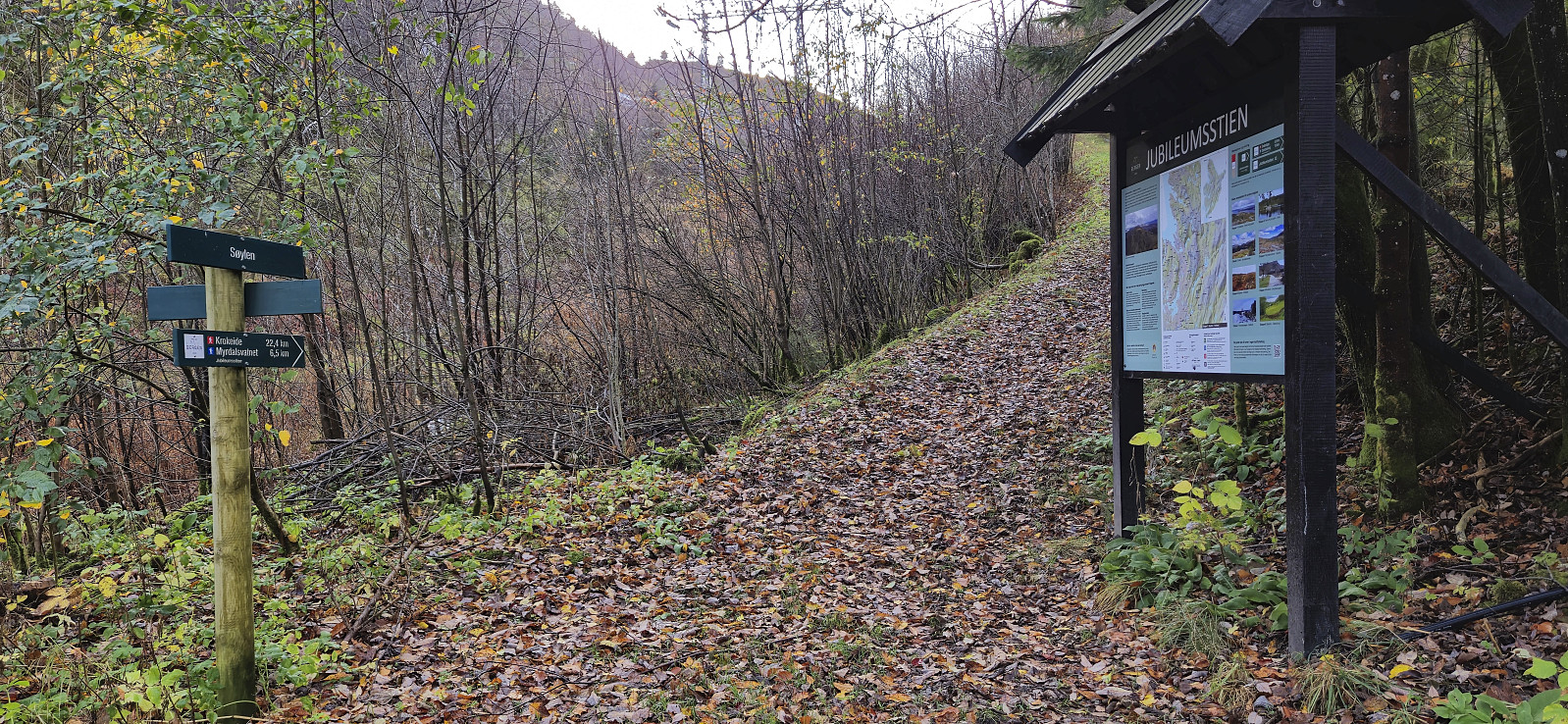
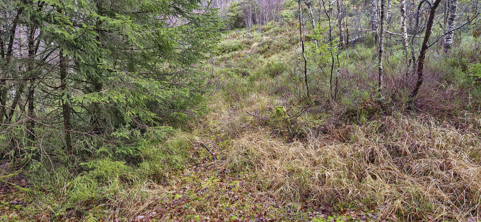
Inspired by a recent trip report by Bull, I decided to check out Rislikampen as a potential new addition to the Alle topper i Bergen list. After taking the bus (or rather bus, train and bus) I got off at Søylen from where I started on the trail to Furedalsvatnet. I quickly left this trail though and instead continued on a weak and wet trail towards Rislikampen. The trailhead itself was unmarked and if it had not been for Bull's report I do not think I even would have considered it as the start of a proper trail.
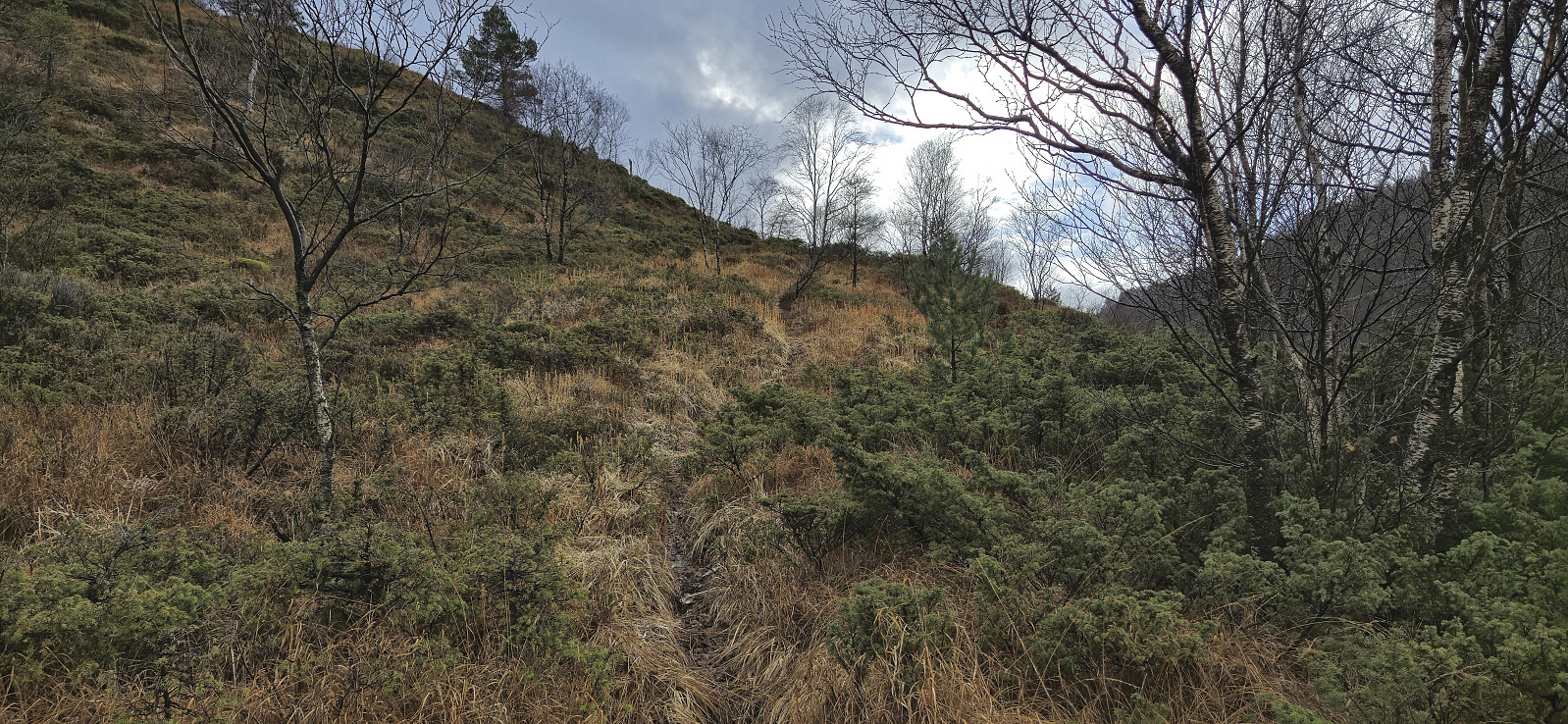
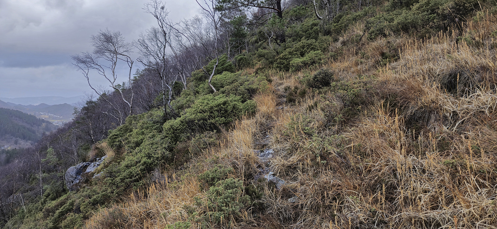
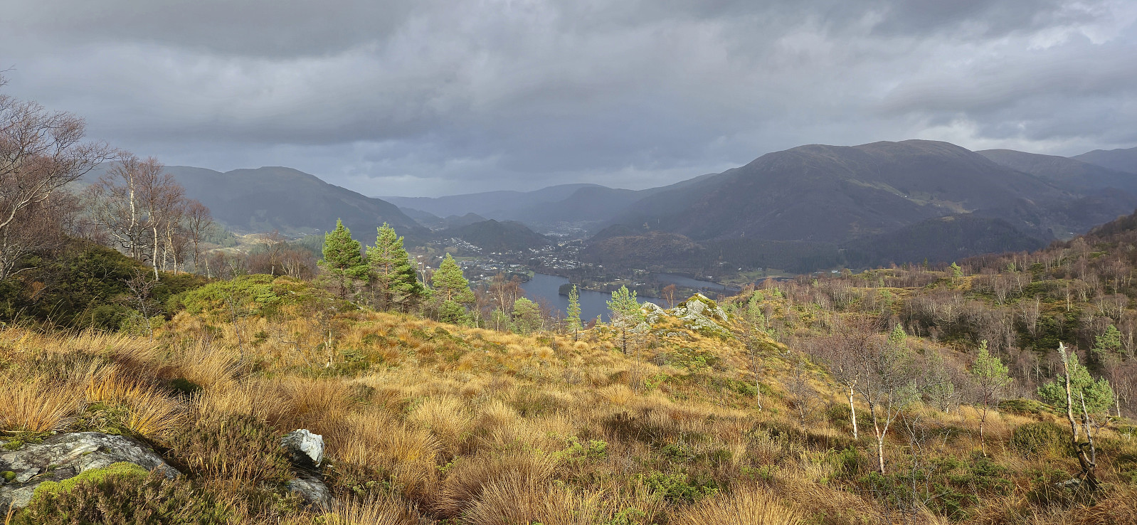
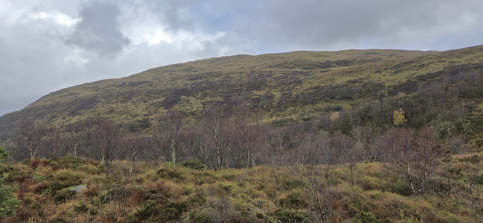
Thankfully, the trail soon turned less weak, and especially the part where it headed northeast to the Rislikampen ridge was very easy to follow. Here the trail however pretty much disappeared and I was left finding my own way for the rest of the ascent. But as the direction was pretty obvious now anyway the summit was still reached without any issues. The summit area provided nice views into Furedalen and I made sure to visit all of the potential highest points before descending along more or less the same route.


| Startzeitpunkt | 27.10.2024 12:00 (UTC+01:00) |
| Endzeitpunkt | 27.10.2024 13:26 (UTC+01:00) |
| Gesamtzeit | 1h 26min |
| Zeit in Bewegung | 1h 23min |
| Pausenzeit | 0h 3min |
| Gesamtschnitt | 2,4km/h |
| Bewegungsschnitt | 2,5km/h |
| Entfernung | 3,4km |
| Höhenmeter | 332m |

Benutzerkommentare