Steinen and Øyjordsåsen (23.04.2024)

| Startpunkt | Sundvorvegen v/Sanddal (4m) |
|---|---|
| Endpunkt | Sundvorvegen v/Sanddal (4m) |
| Tourcharakter | Bergtour |
| Tourlänge | 2h 21min |
| Entfernung | 6,9km |
| Höhenmeter | 709m |
| GPS |
|
| Besteigungen | Steinen (438m) | 23.04.2024 |
|---|---|---|
| Øygardsåsen (394m) | 23.04.2024 |
Steinen and Øyjordsåsen
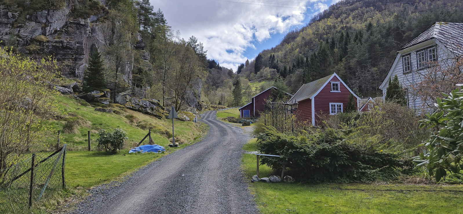

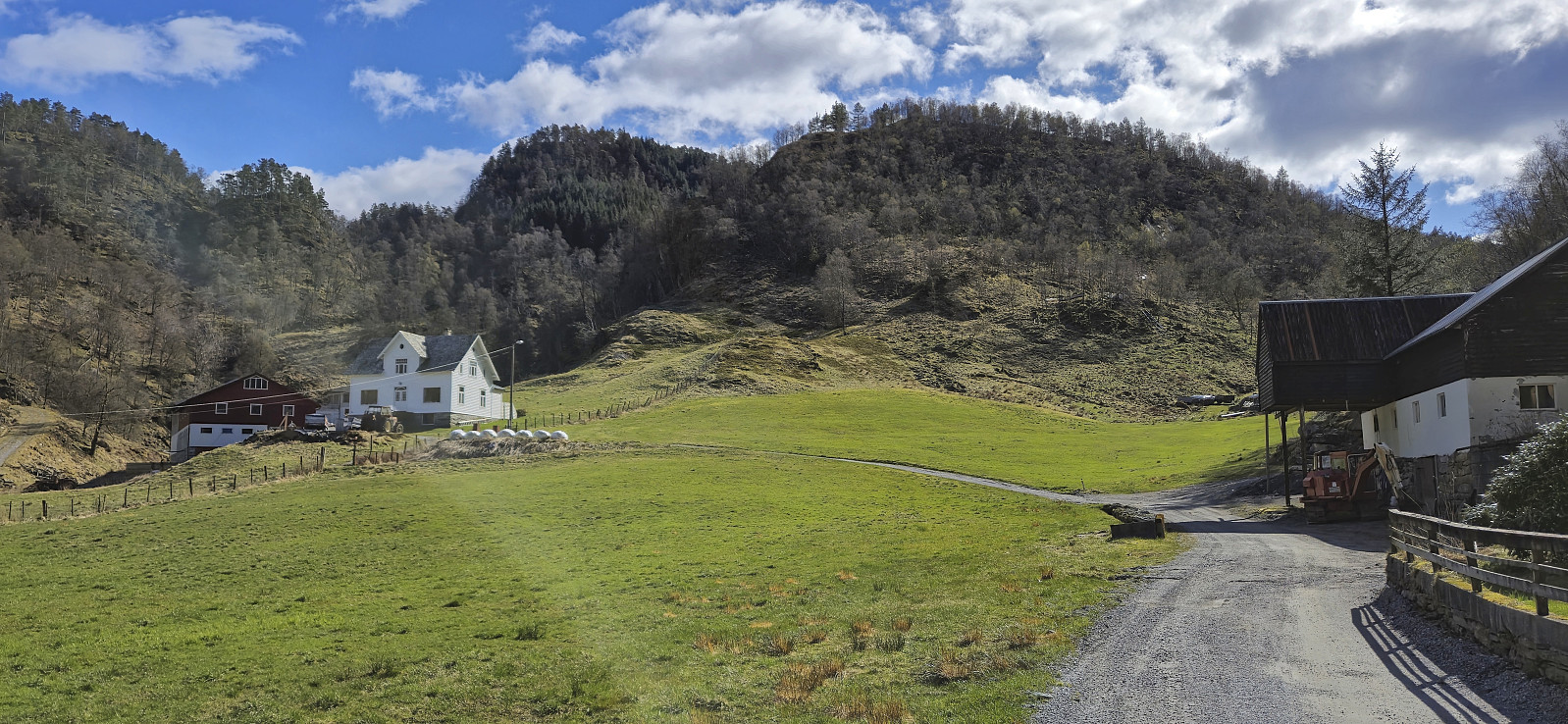
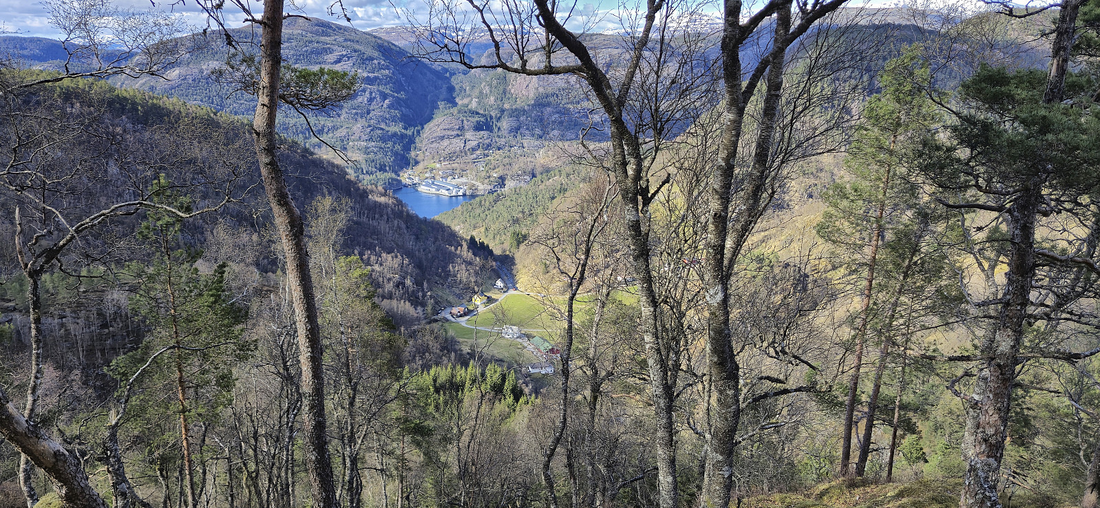
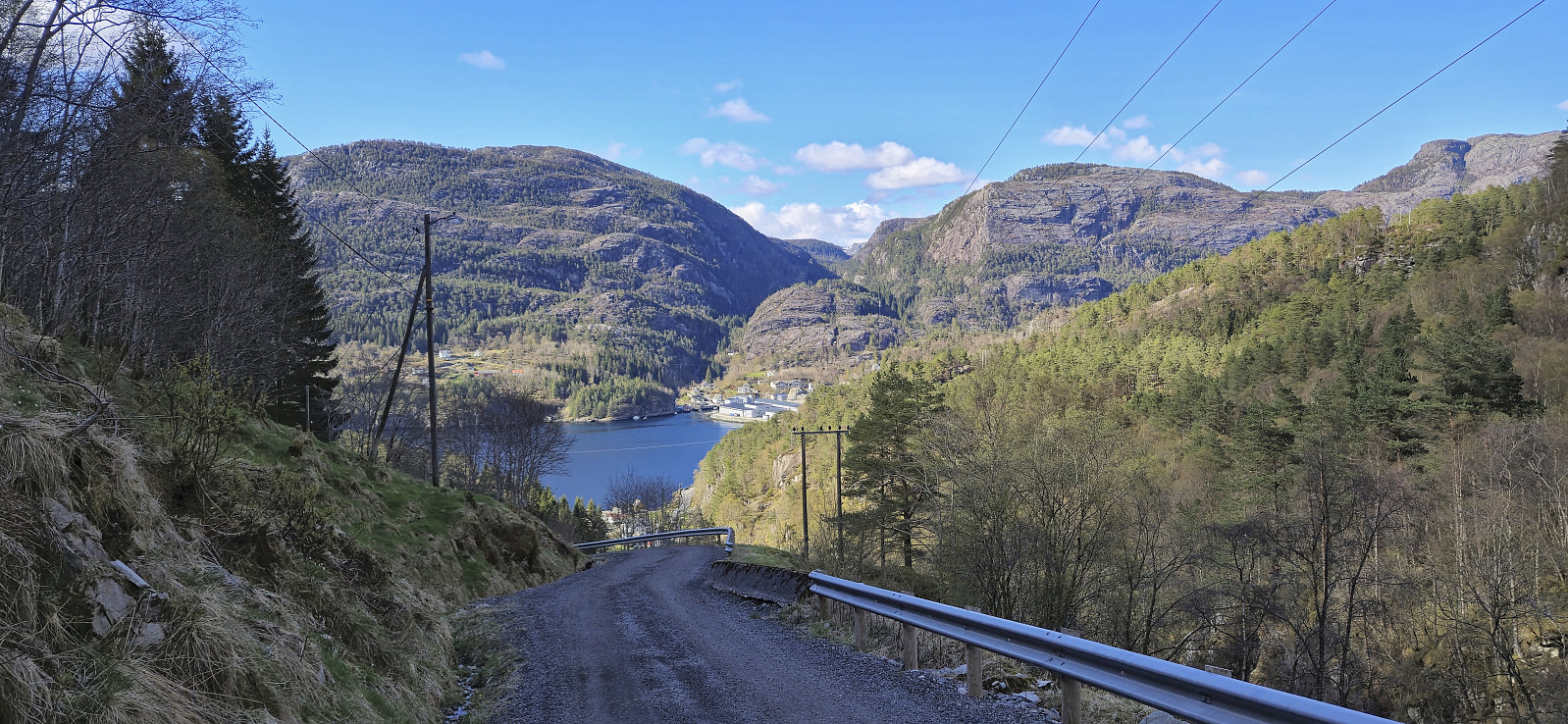
When a two-day meeting at Solstrand came to an end, I made the rather unusual choice of skipping the concluding lunch at the hotel and instead changed into my hiking gear and hopped on a bus to Sævareid with the goal of visiting the final two peaks I had left in Bjørnafjorden. After switching buses at Kilen I got off at "Sævareid sør". This put me right at the start of Markhusvegen and I now had just under 2.5 hours to complete my hike and return to the bus stop before the last bus of the day would take me back to Bergen.
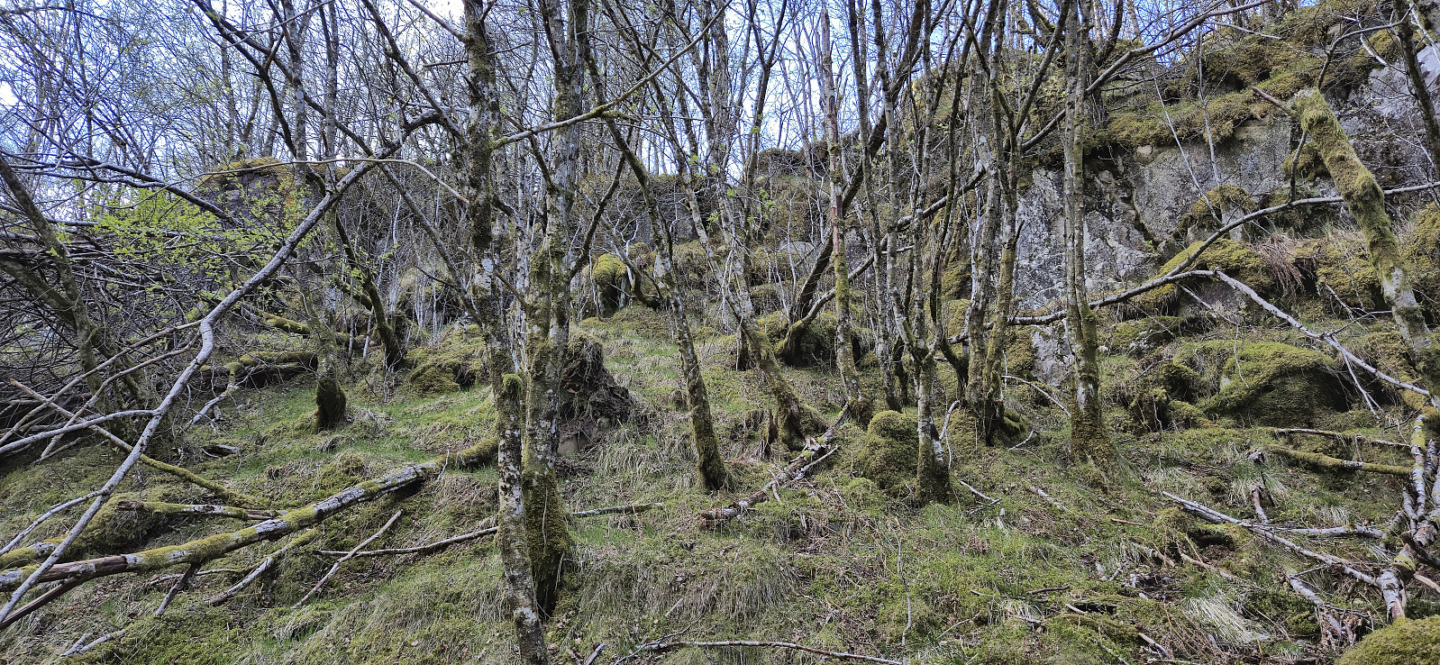
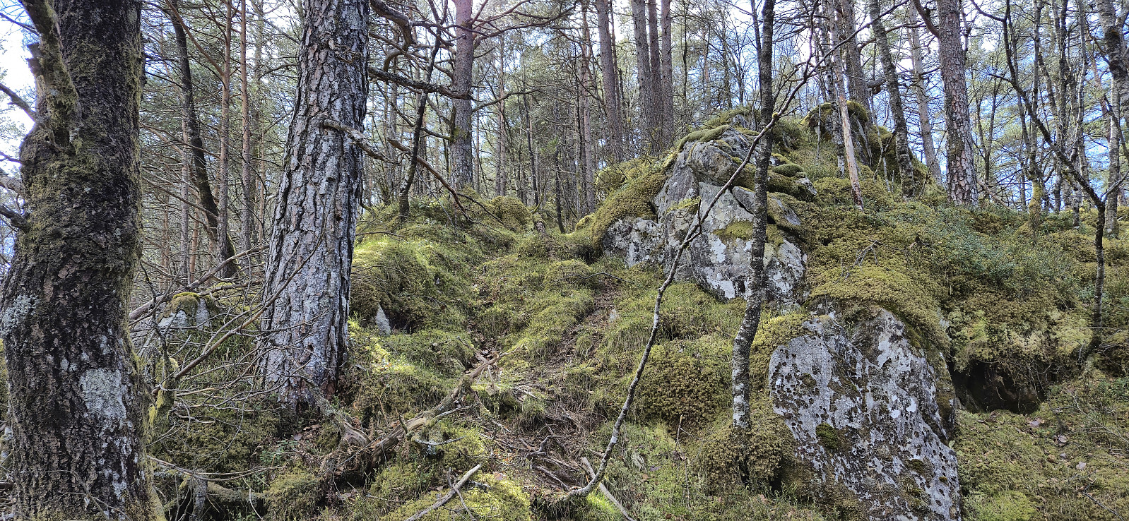
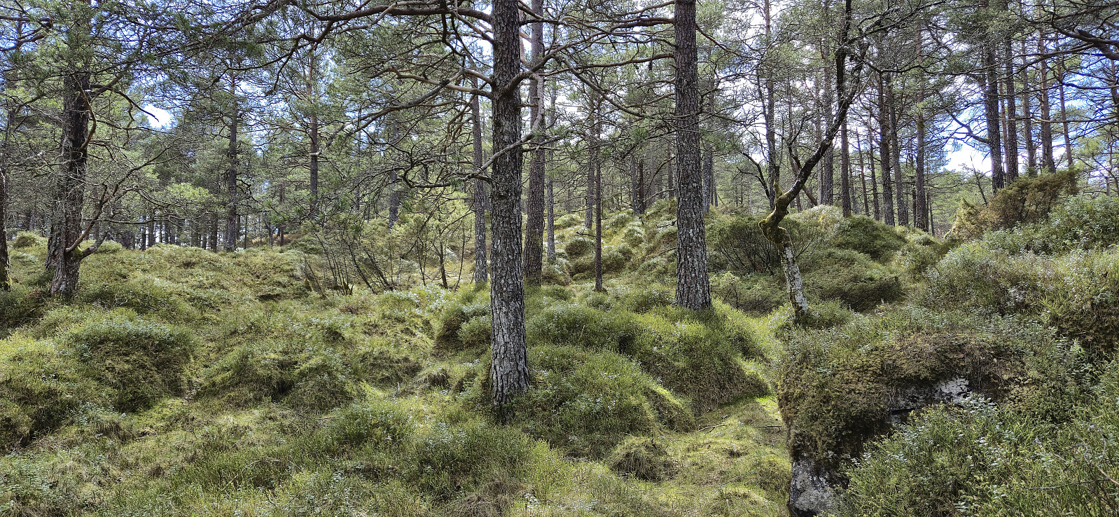
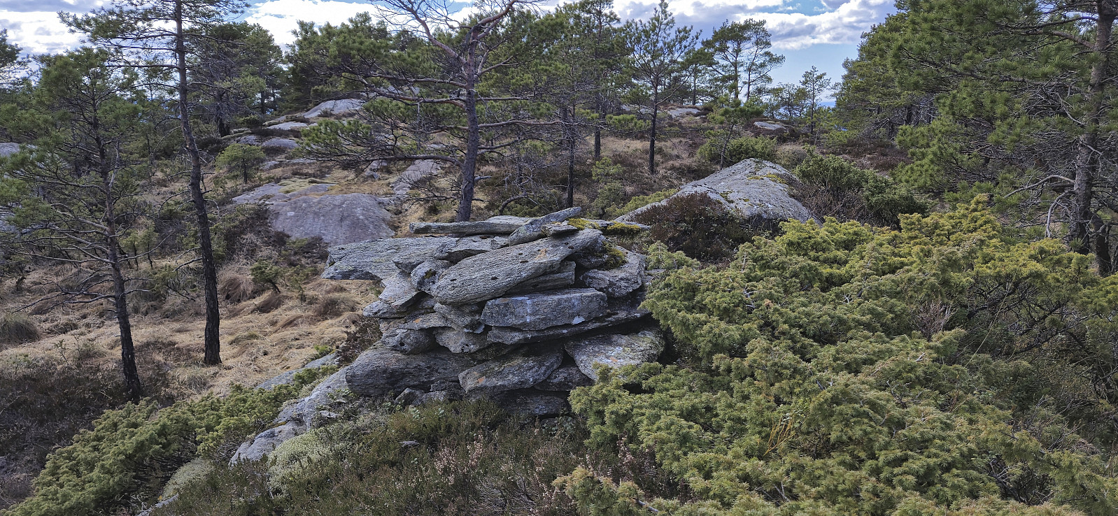
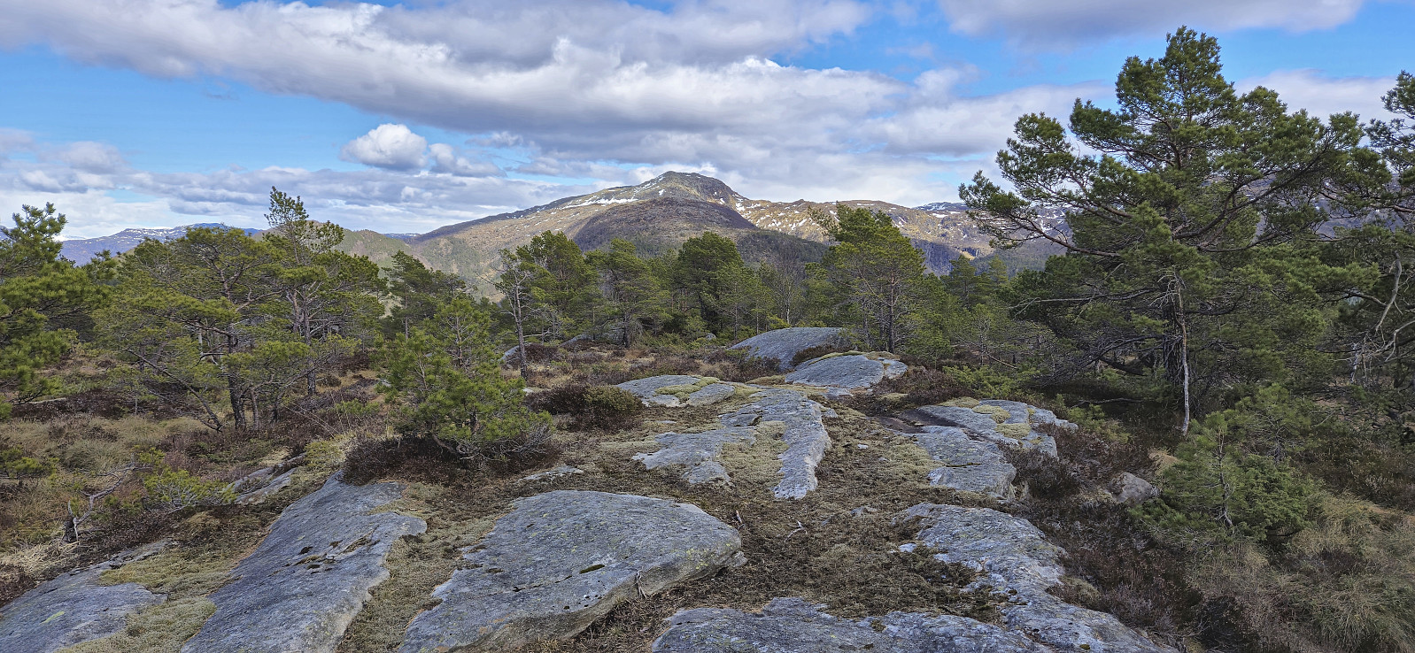
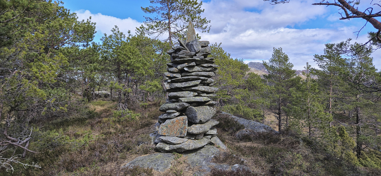
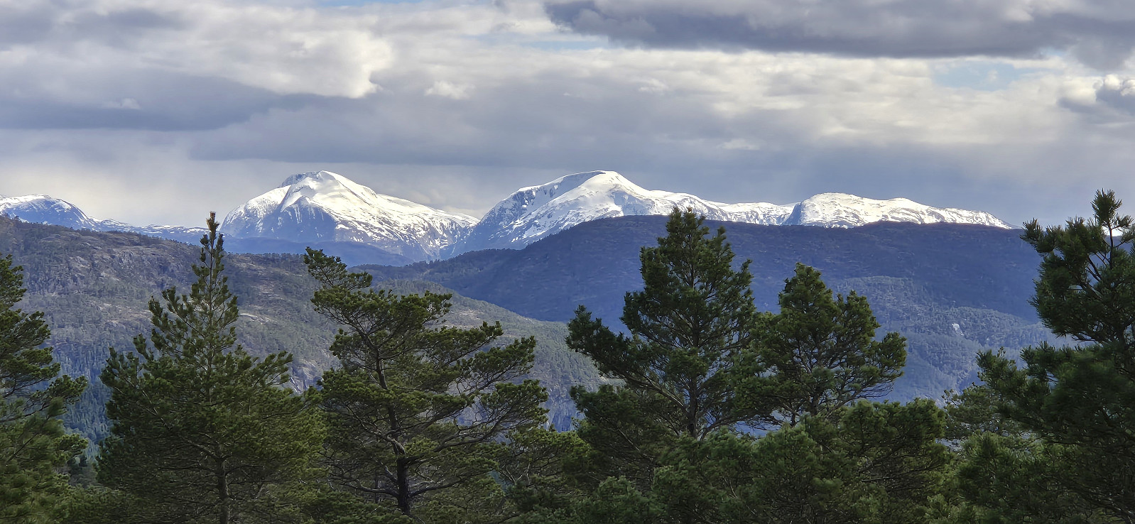
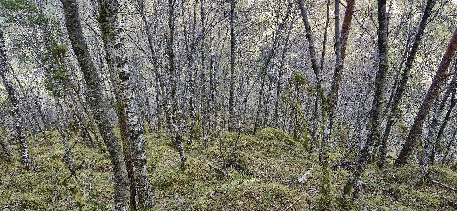
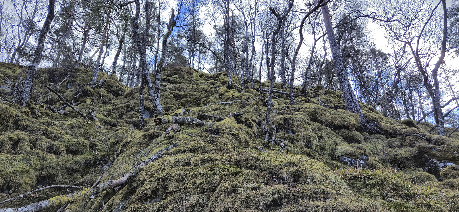
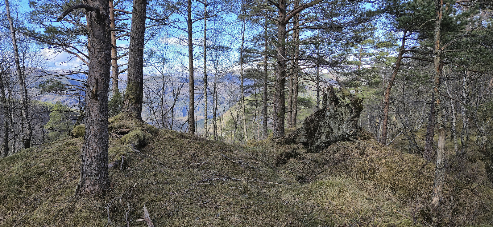
I started by following Markhusvegen up towards Markhus but left the gravel road just as it flattened out and instead headed off-trail towards the summit of Steinen, leaving my heavy backpack behind at the first opportunity. The ascent started quite steep and even required some easy scrambling, but soon there were deer tracks that more or less led me all the way to the surprisingly large summit cairn. The views were also better than expected with several familiar peaks visible between the trees. After a couple of pictures I returned the same way, although along a slightly different set of deer tracks.
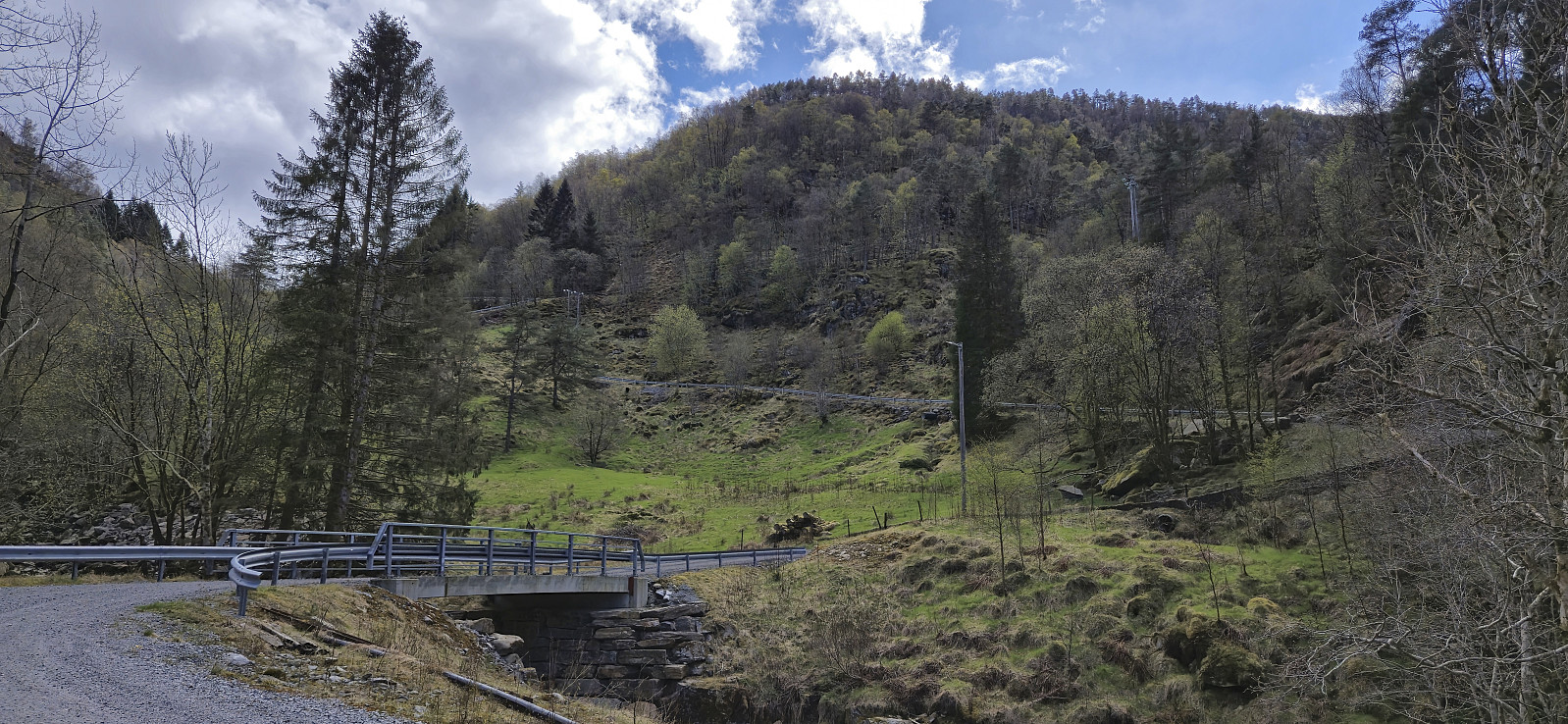
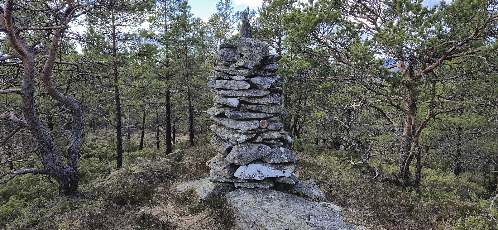
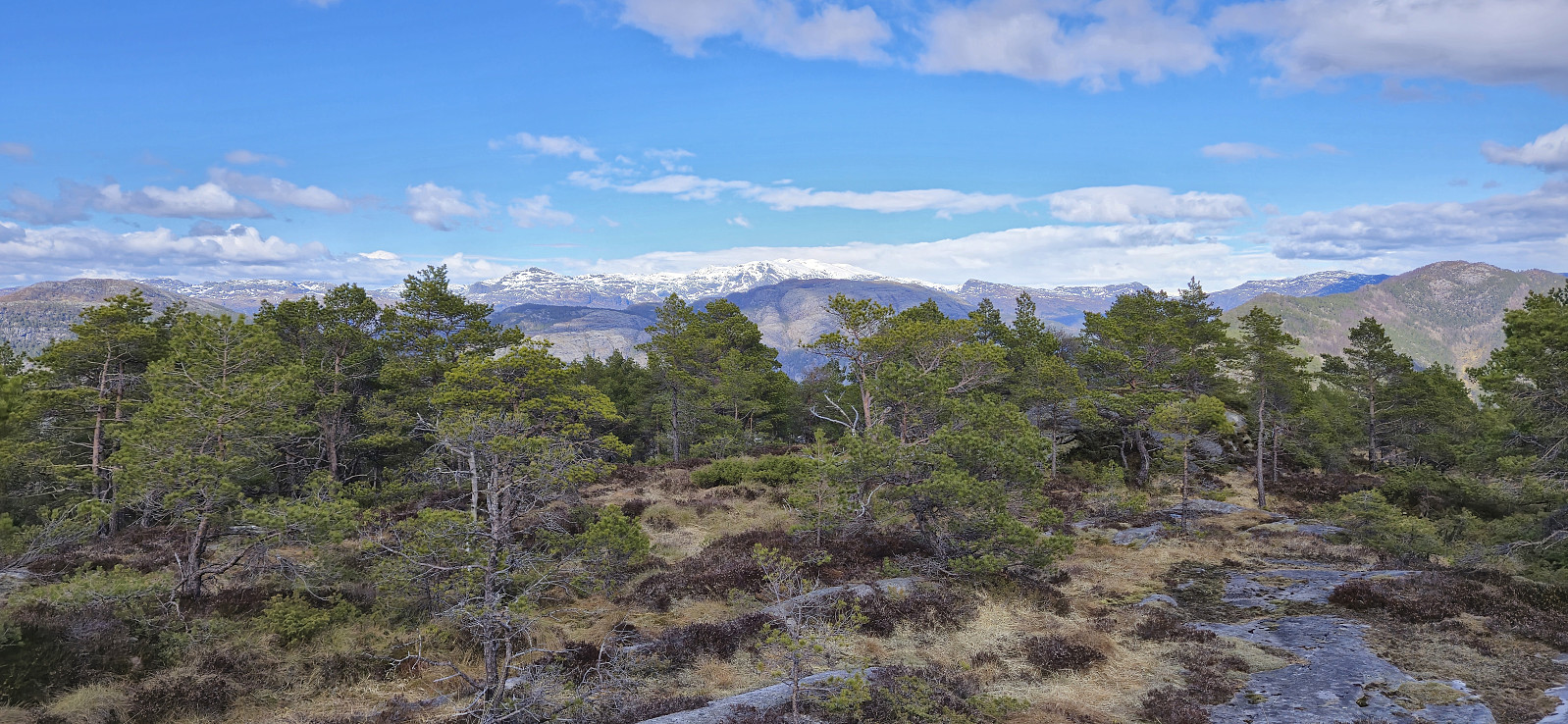
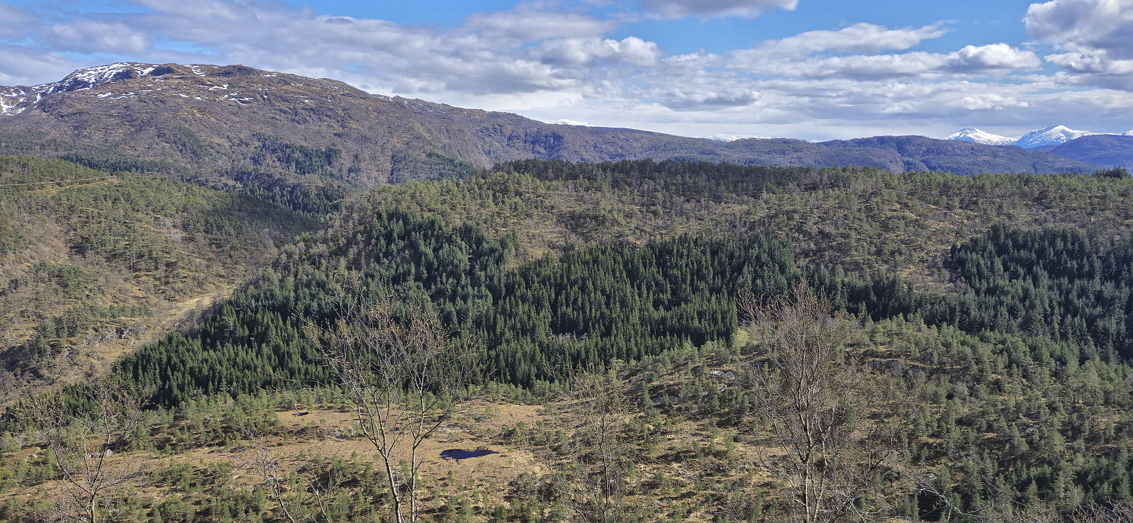
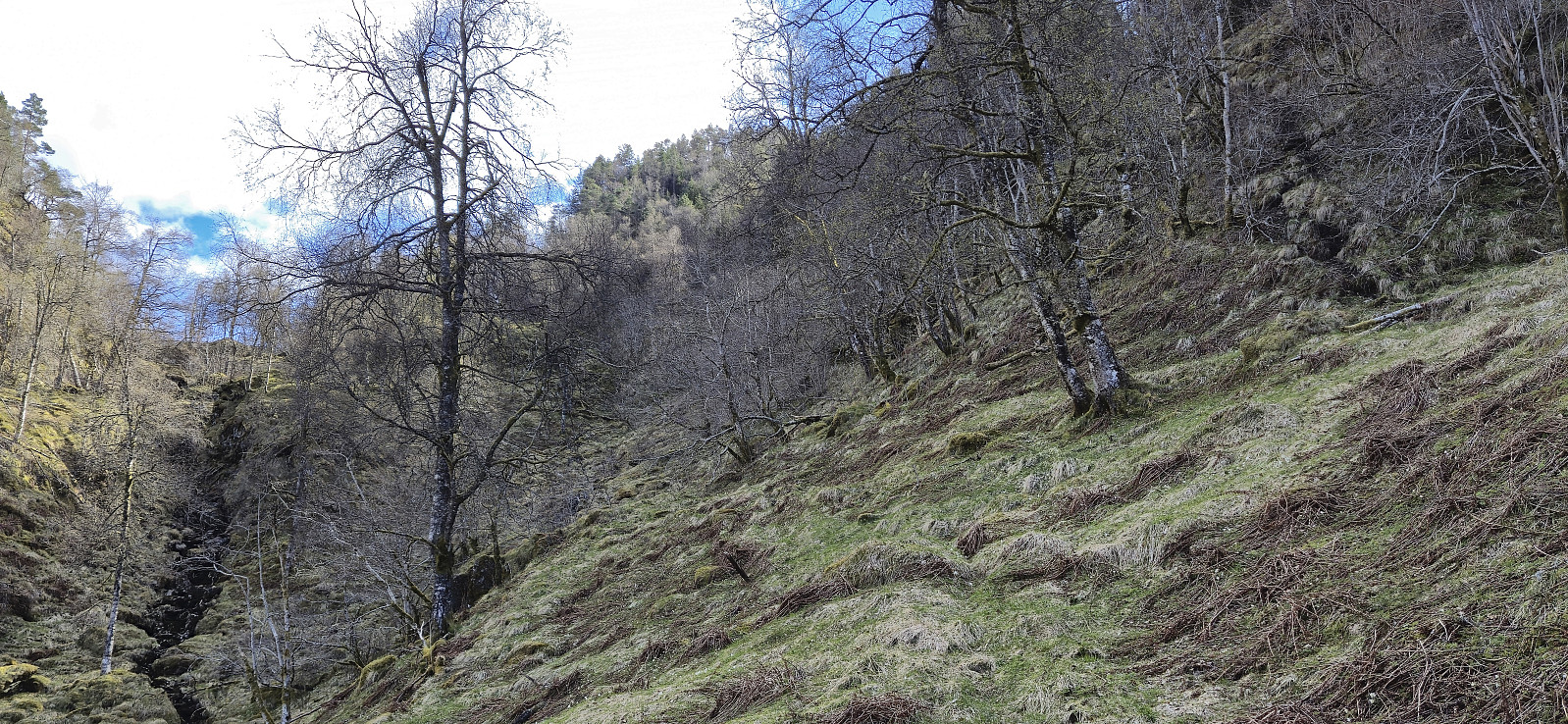
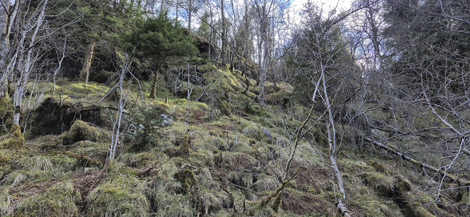
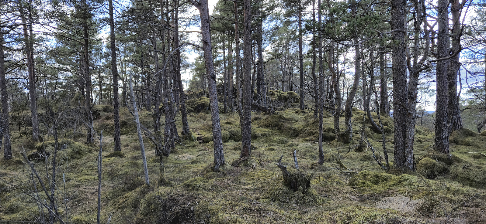
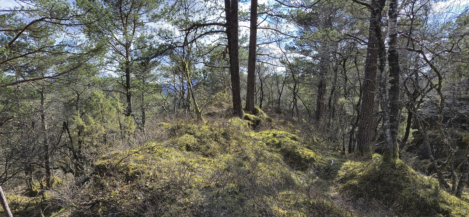
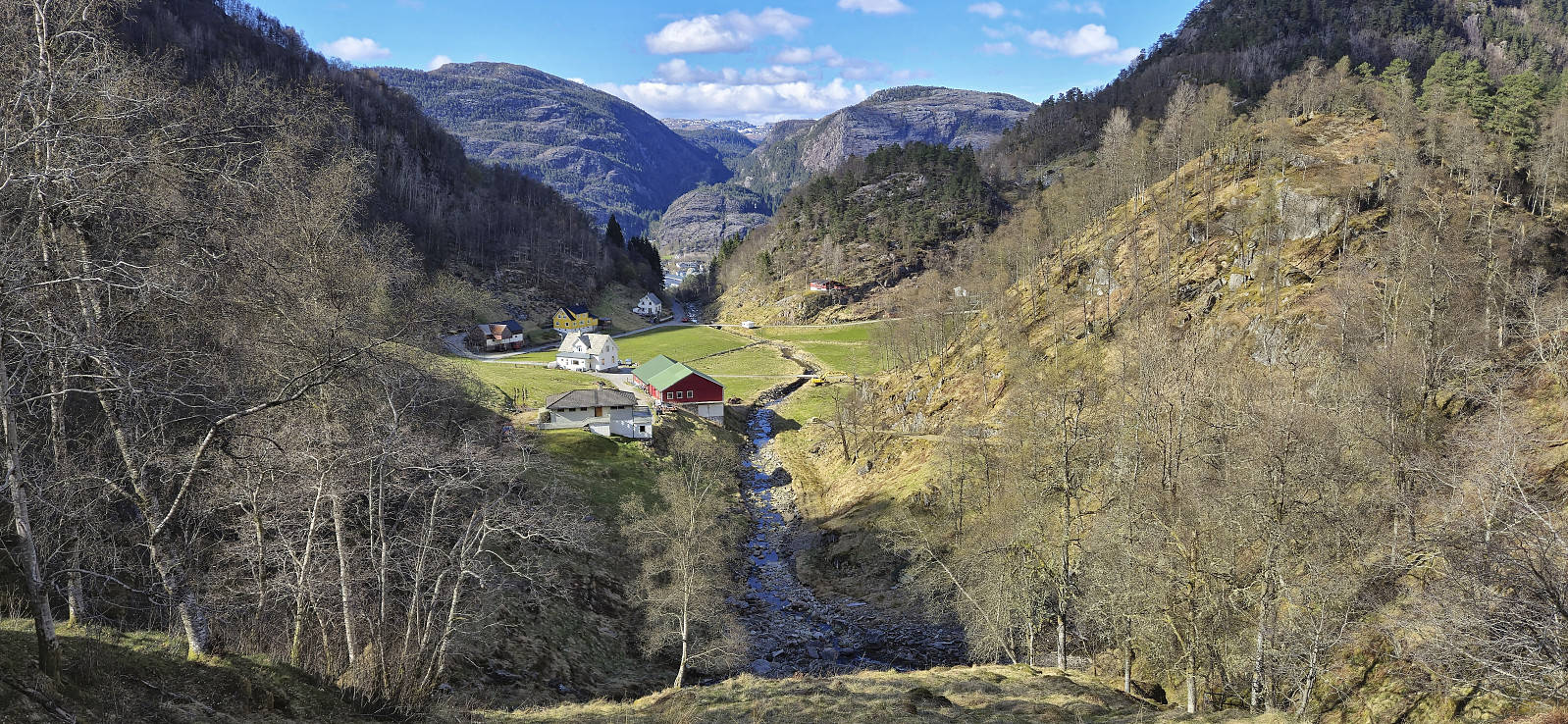
With the heavy backpack back on, I continued south via Markhus towards Markhusskaret. Here I again left the backpack behind and started the off-trail ascent to Øyjordsåsen. Based on what I had read about Øyjordsåsen, my expectations where quite low. But perhaps they were too low, as after an initial steep section bordering on scrambling, the terrain turned less steep and from there it was straightforward to reach the summit, or rather summits, as there were two small hills of almost exactly the same height. To be on the safe side I simply visited both before immediately starting my descent.
When I once more picked up my backpack near Markhusskaret I had less than 20 minutes before I had to be back at the bus stop. However, thanks to a bit of light jogging this worked out fine and I even had the time to change before the bus arrived.
To conclude, while this will most likely be my only visits of Steinen and Øyjordsåsen, the experience was much better than expected (disregarding the tough time constraint).
| Startzeitpunkt | 23.04.2024 14:51 (UTC+01:00 SZ) |
| Endzeitpunkt | 23.04.2024 17:12 (UTC+01:00 SZ) |
| Gesamtzeit | 2h 21min |
| Zeit in Bewegung | 2h 15min |
| Pausenzeit | 0h 5min |
| Gesamtschnitt | 2,9km/h |
| Bewegungsschnitt | 3,0km/h |
| Entfernung | 6,9km |
| Höhenmeter | 708m |

Benutzerkommentare