Senafjellet from Femanger (14.04.2024)

| Startpunkt | Femanger (45m) |
|---|---|
| Endpunkt | Femanger (45m) |
| Tourcharakter | Bergtour |
| Tourlänge | 2h 07min |
| Entfernung | 4,0km |
| Höhenmeter | 454m |
| GPS |
|
| Besteigungen | Senafjellet (479m) | 14.04.2024 |
|---|
Senafjellet from Femanger
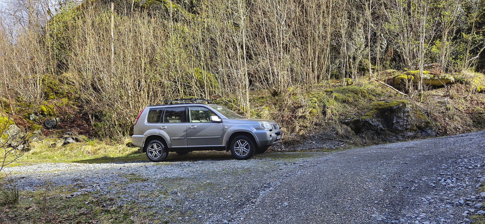
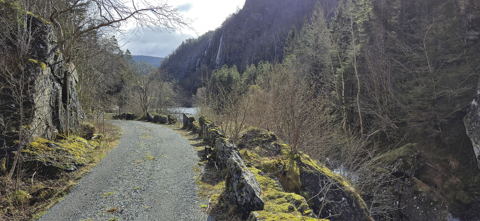
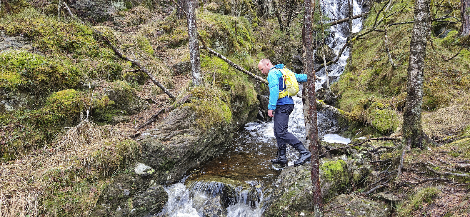
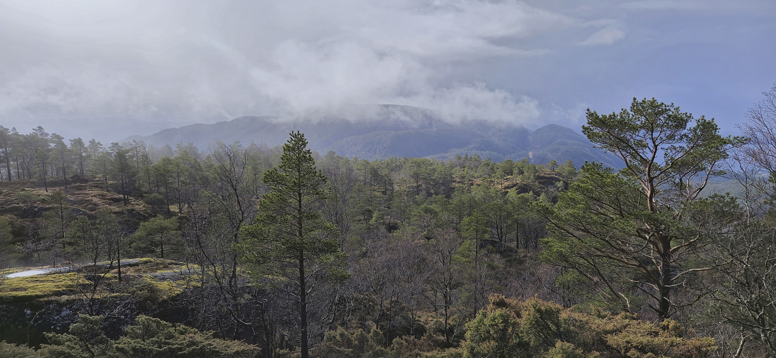
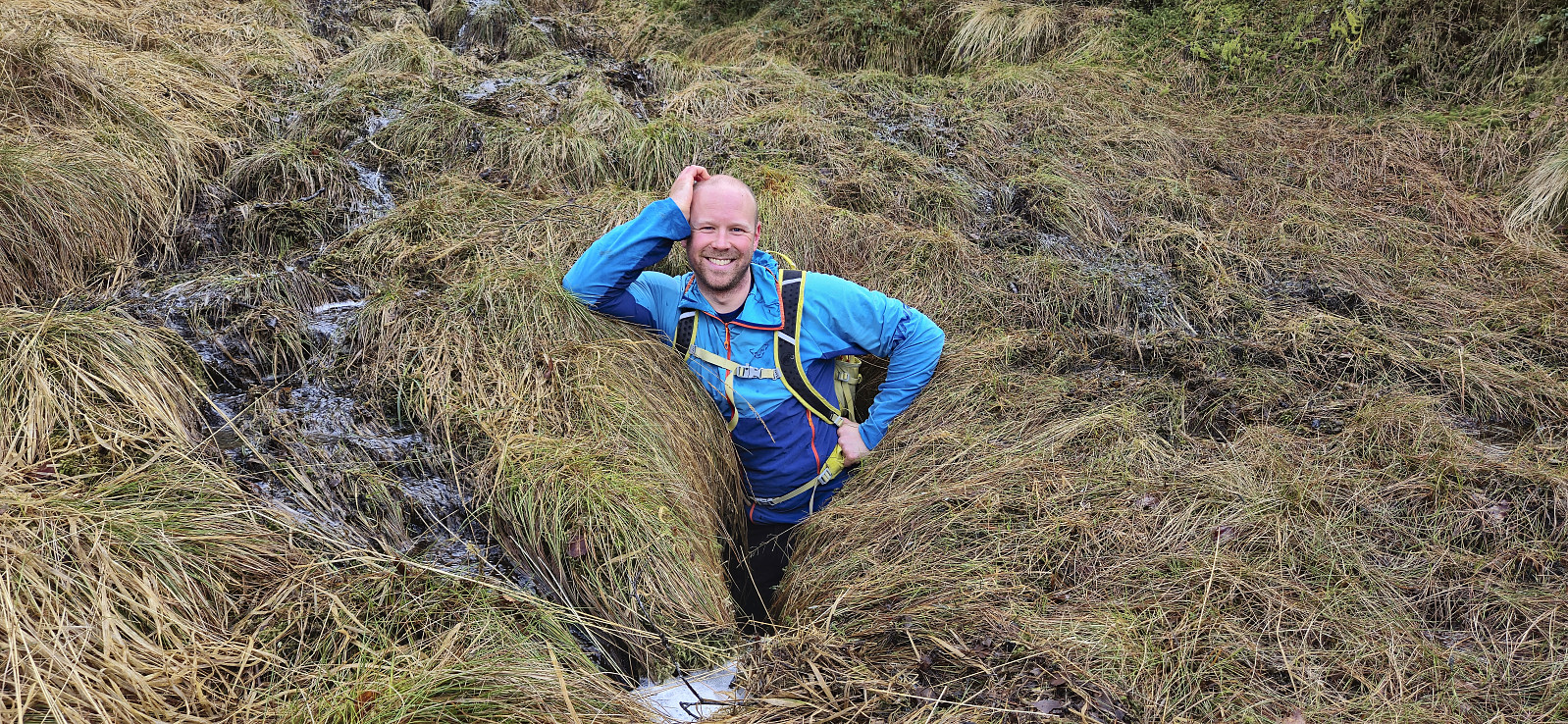
Endre picked me up at my place and together we drove south to Bjørnafjorden via Samnanger. Our first goal was Senafjellet where we, thanks to previous trip reports, easily located the small parking area just north of the small bridge at Femanger. After a short walk east we left the gravel road and began our off-trail ascent towards the summit.
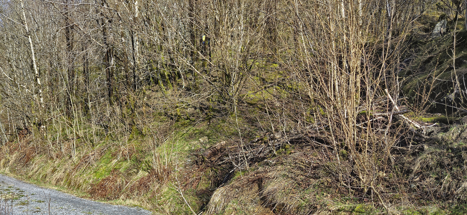
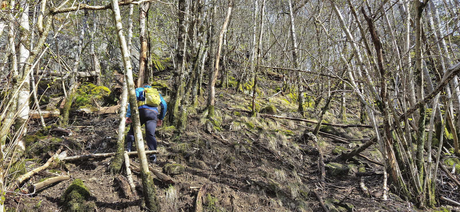
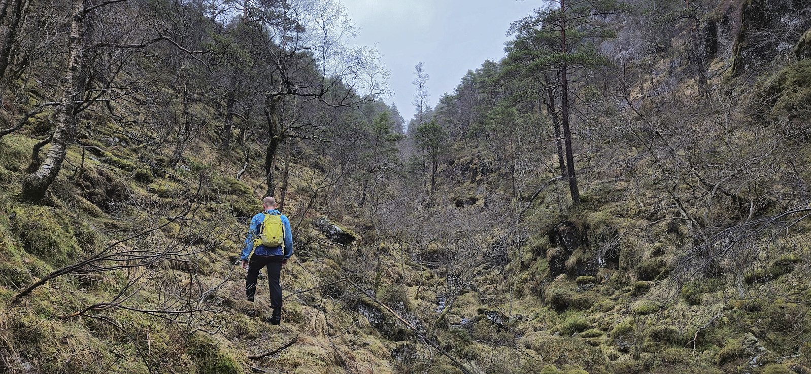
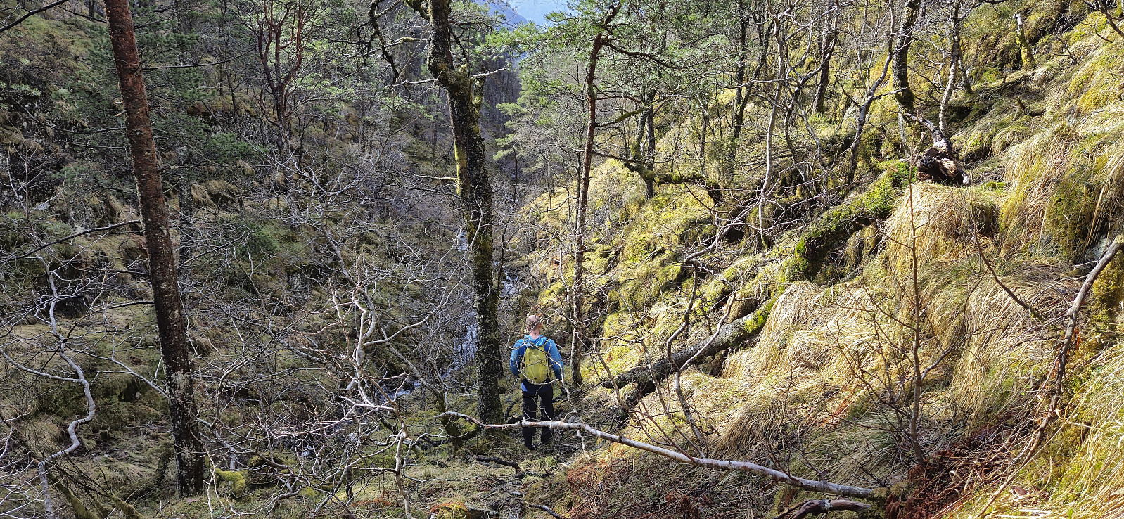
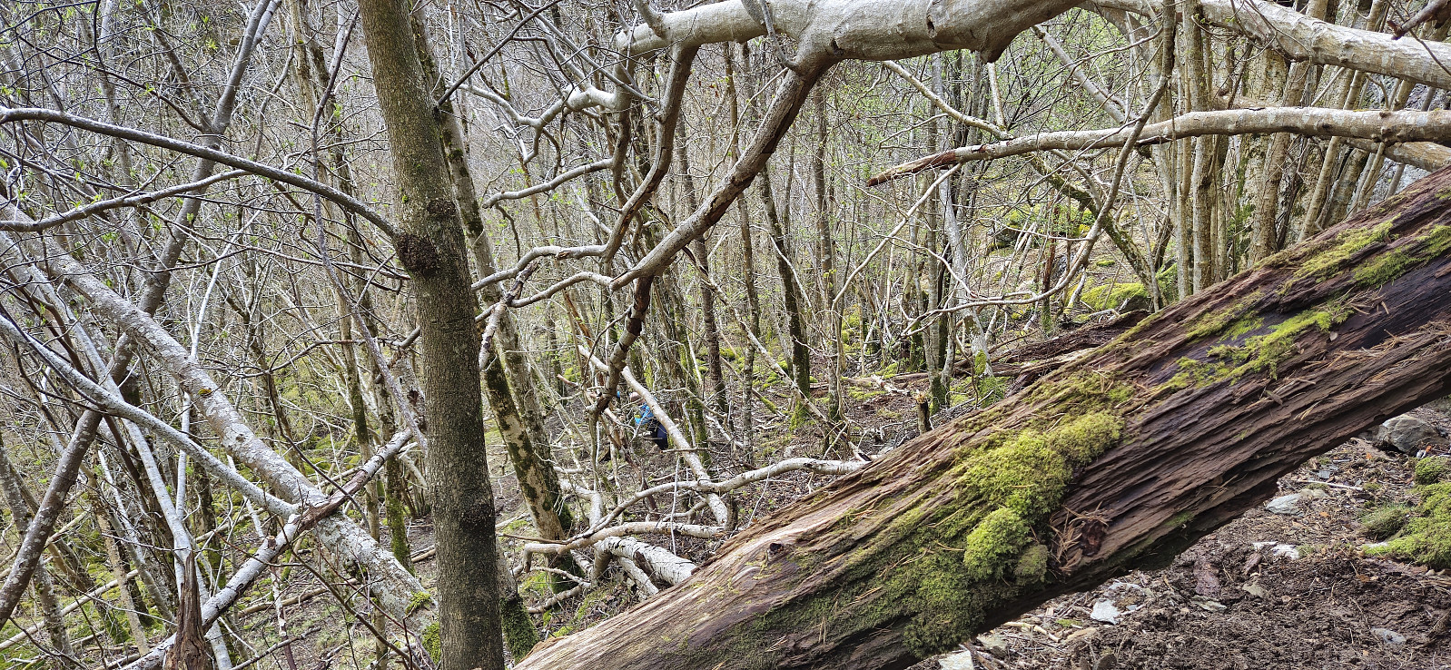
The ascent started quite steep and muddy, with lots of trees to navigate around/over, but it did not take long before we were following what almost looked like a trail. It was most likely just deer tracks though, which became more obvious the higher up we got. We decided to more or less follow the narrow valley in a straight line all the way to the summit. This worked out fine and did not present any real challenges.
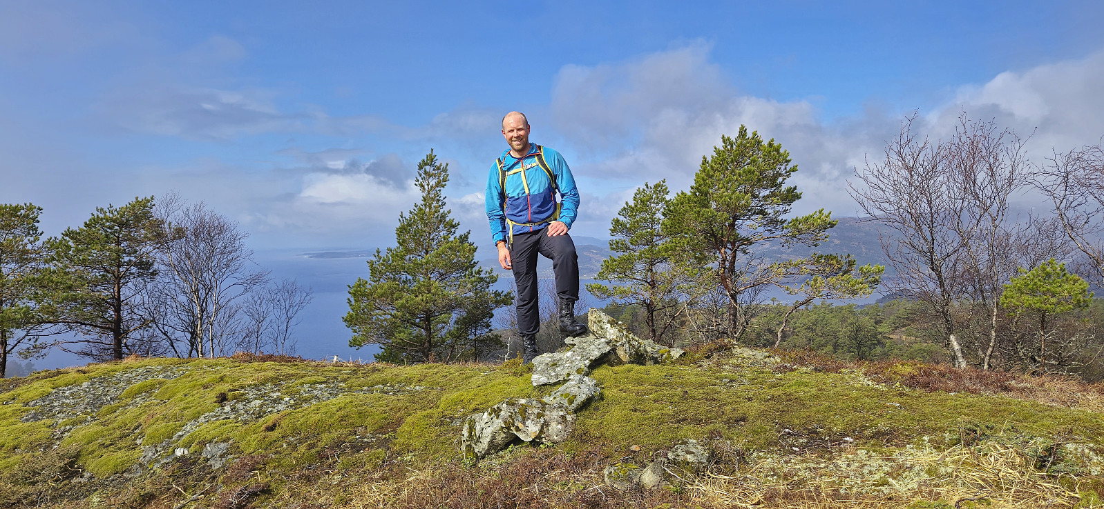
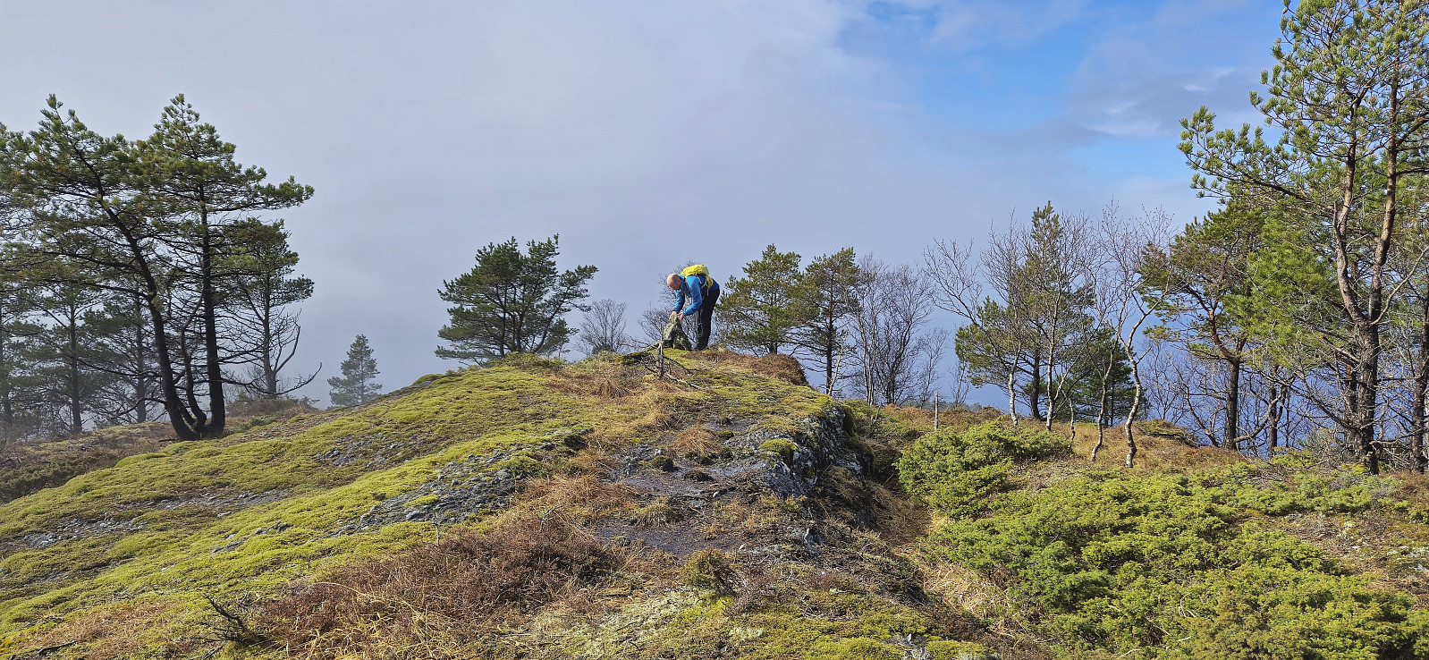
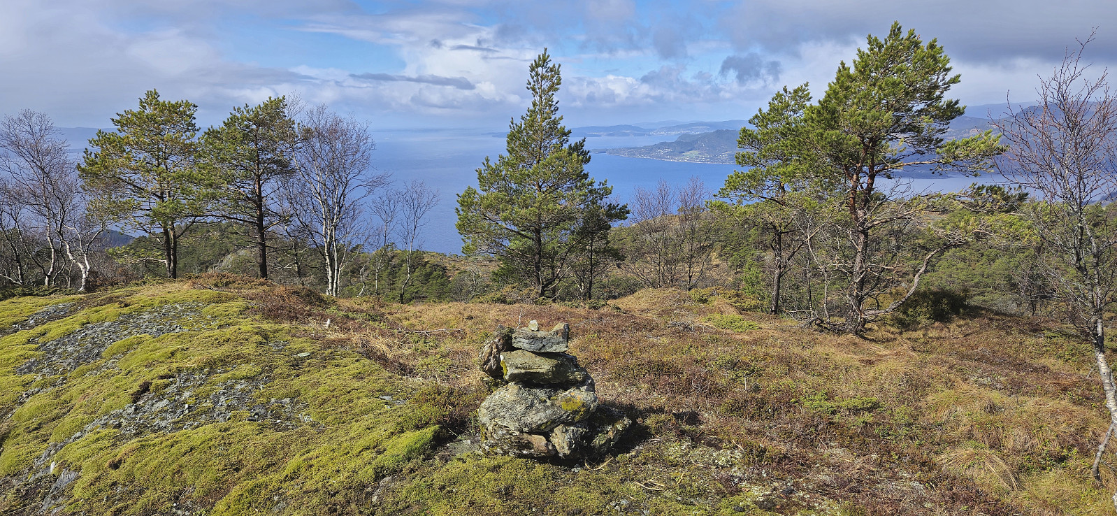
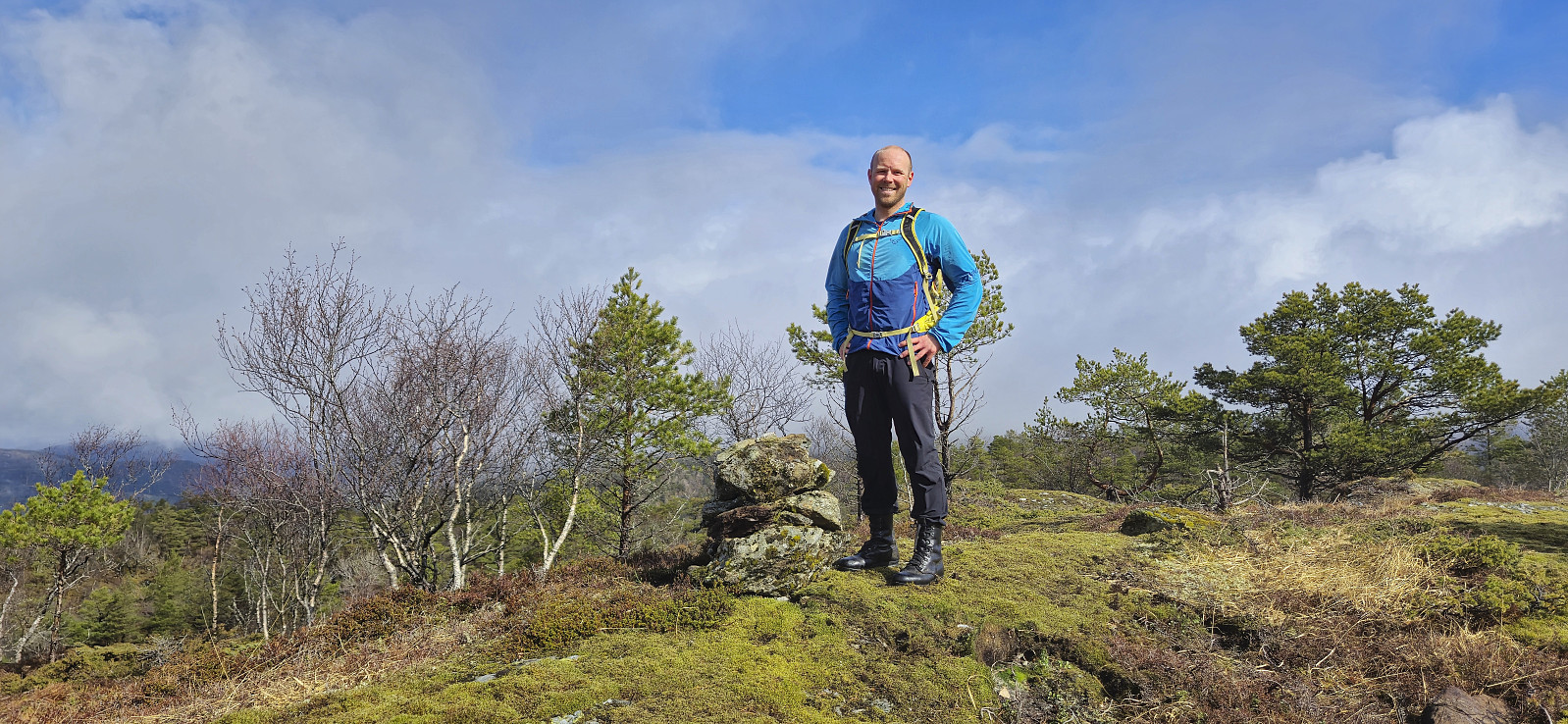
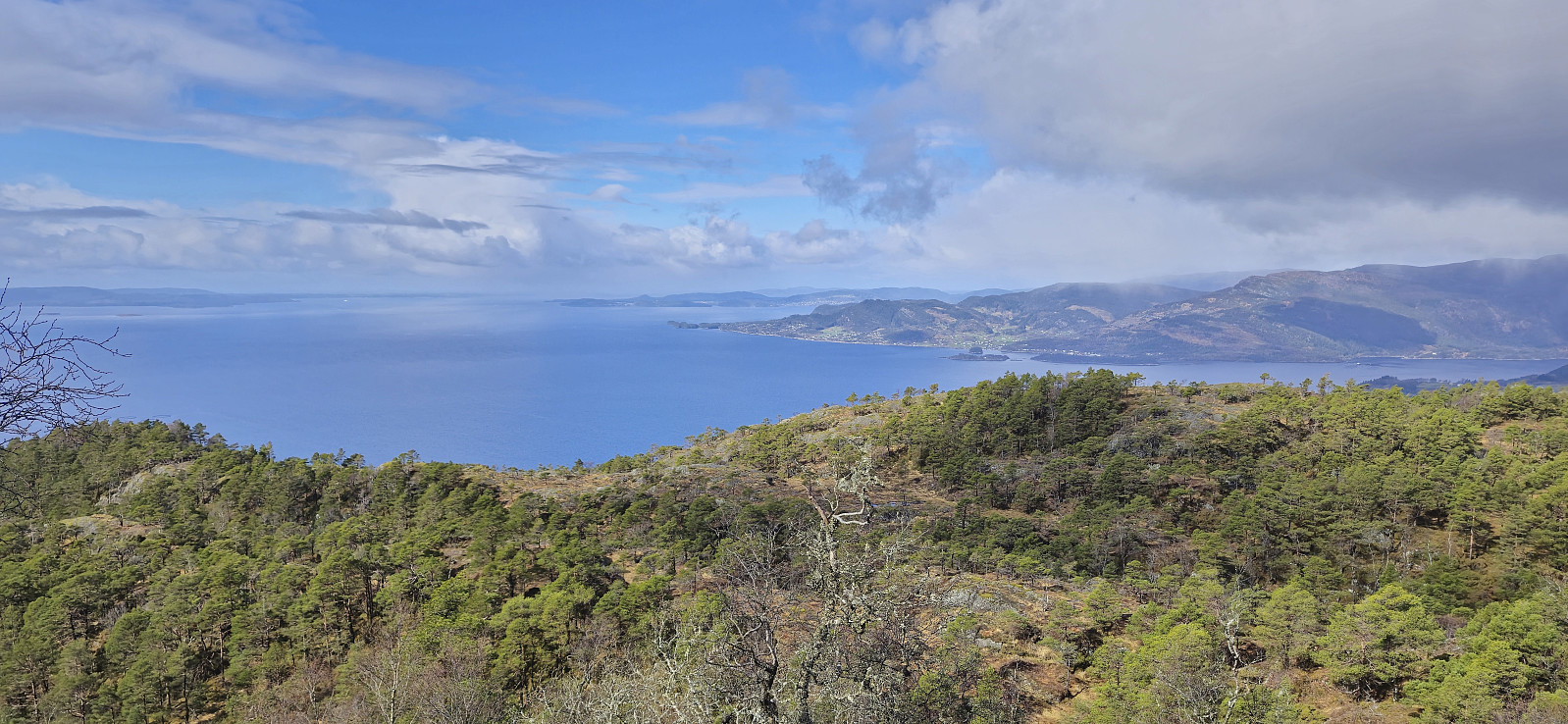
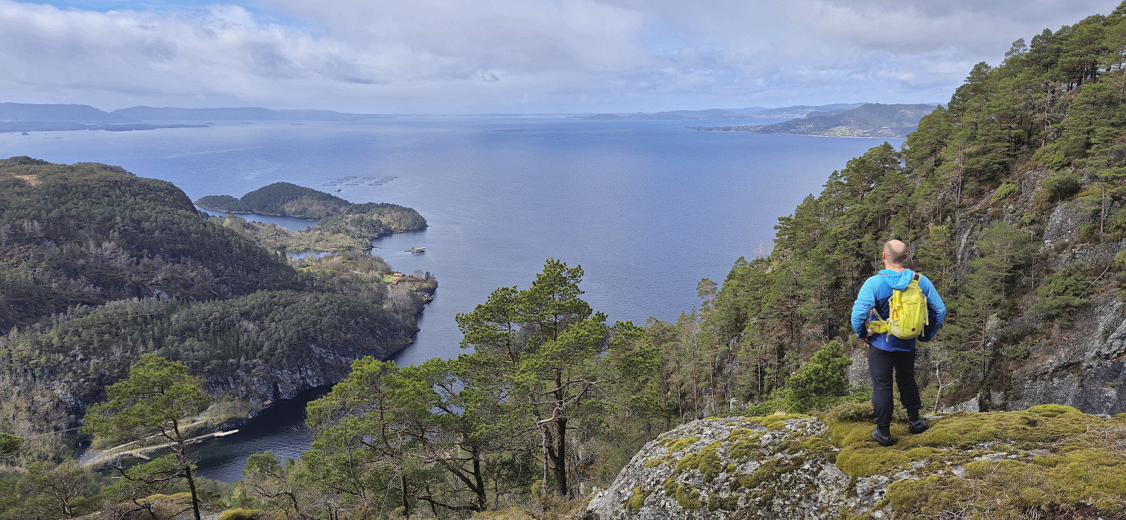
As we approached the summit the light rain shower that we had been exposed to for most of the ascent came to an end and the fog that had partly hidden the views disappeared and we could thus fully enjoy the great views. The summit cairn was not in the best shape and before descending Endre took it upon himself to rebuild and improve it. With the refurbished cairn in place we returned the same way only making a minor detour to a nice vantage point on the way.
In summary, this hike was both easier and had better views than expected. The lack of proper trails still probably results in it not being a hike for everyone though, but for those used to off-trail hiking there should not be any issues.
| Startzeitpunkt | 14.04.2024 10:45 (UTC+01:00 SZ) |
| Endzeitpunkt | 14.04.2024 12:52 (UTC+01:00 SZ) |
| Gesamtzeit | 2h 07min |
| Zeit in Bewegung | 1h 51min |
| Pausenzeit | 0h 16min |
| Gesamtschnitt | 1,9km/h |
| Bewegungsschnitt | 2,1km/h |
| Entfernung | 4,0km |
| Höhenmeter | 453m |

Benutzerkommentare