Prestholtskarvet (21.07.2018)

| Startpunkt | Prestholtstølan (1.241m) |
|---|---|
| Endpunkt | Prestholtstølan (1.242m) |
| Tourcharakter | Bergtour |
| Tourlänge | 3h 08min |
| Entfernung | 8,9km |
| Höhenmeter | 641m |
| GPS |
|
| Besteigungen | Prestholtskarvet (1.859m) | 21.07.2018 |
|---|---|---|
| Besuche anderer PBE | Prestholtseter (1.246m) | 21.07.2018 |
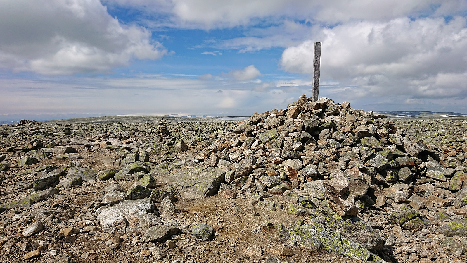
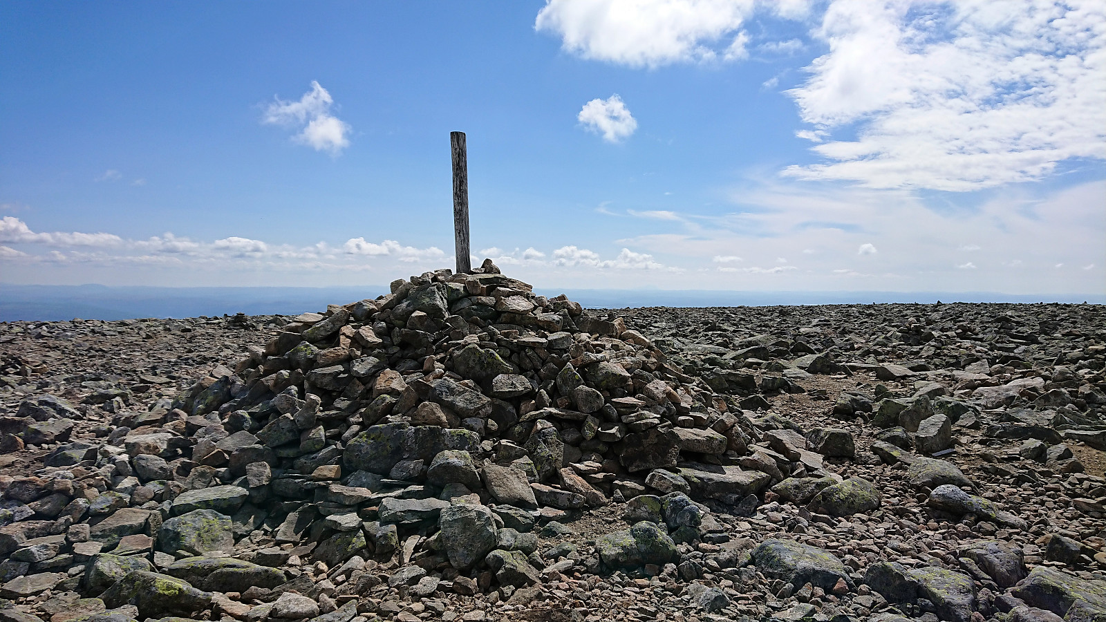
Prestholtskarvet
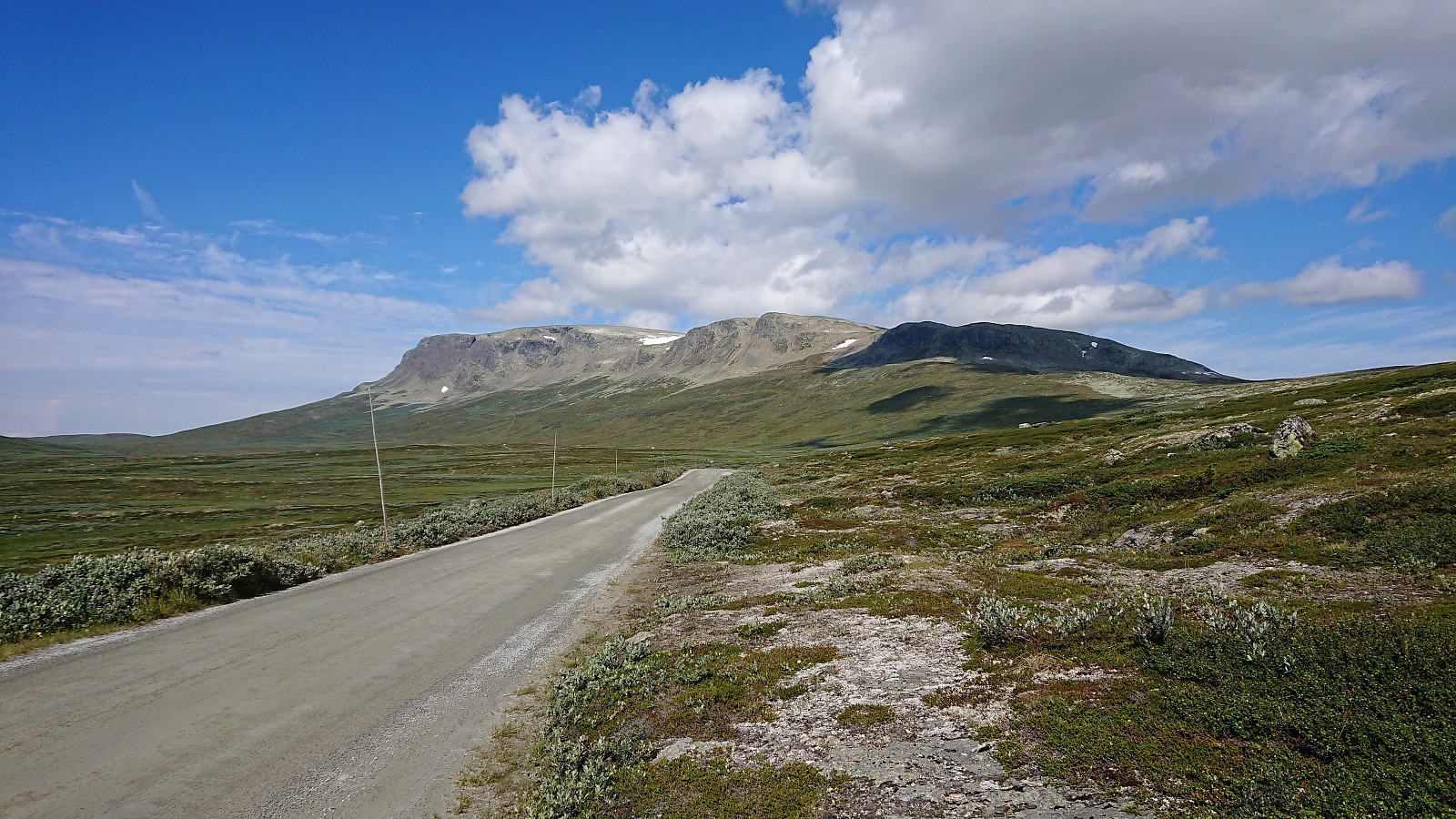
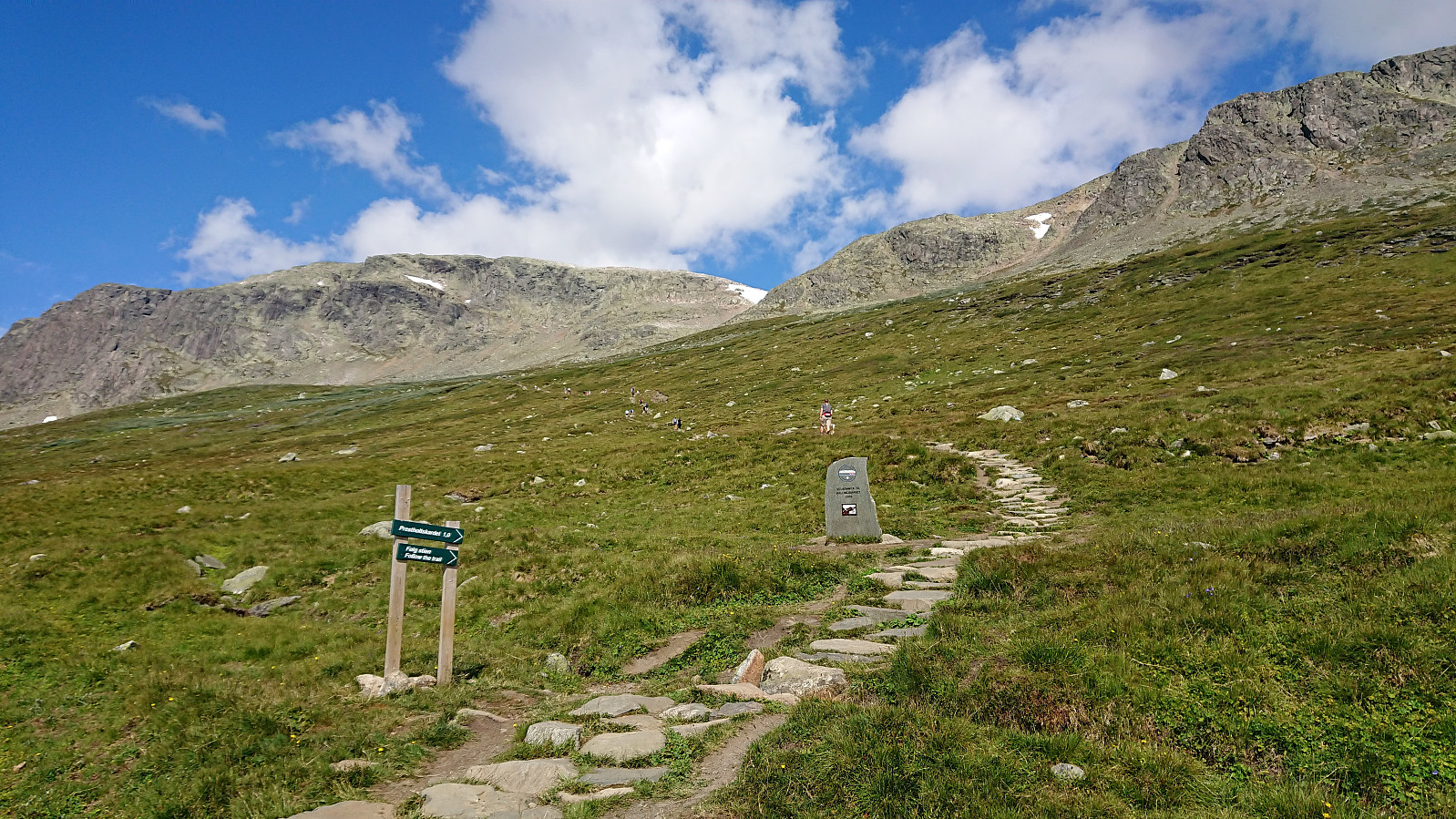
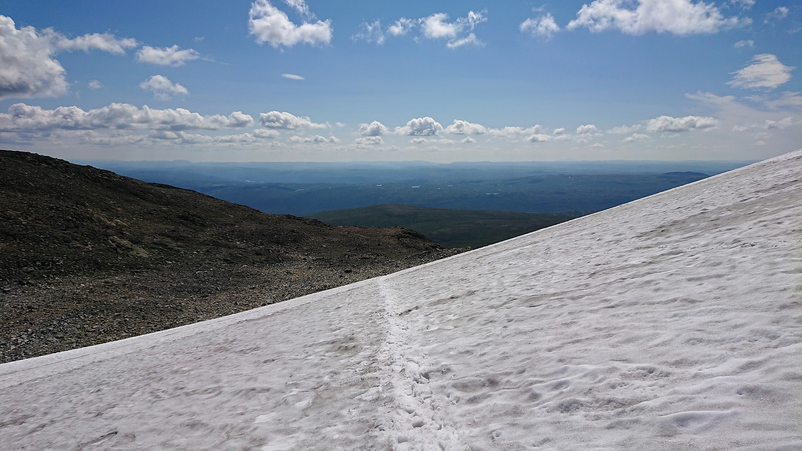
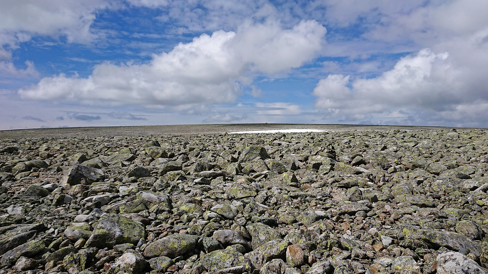
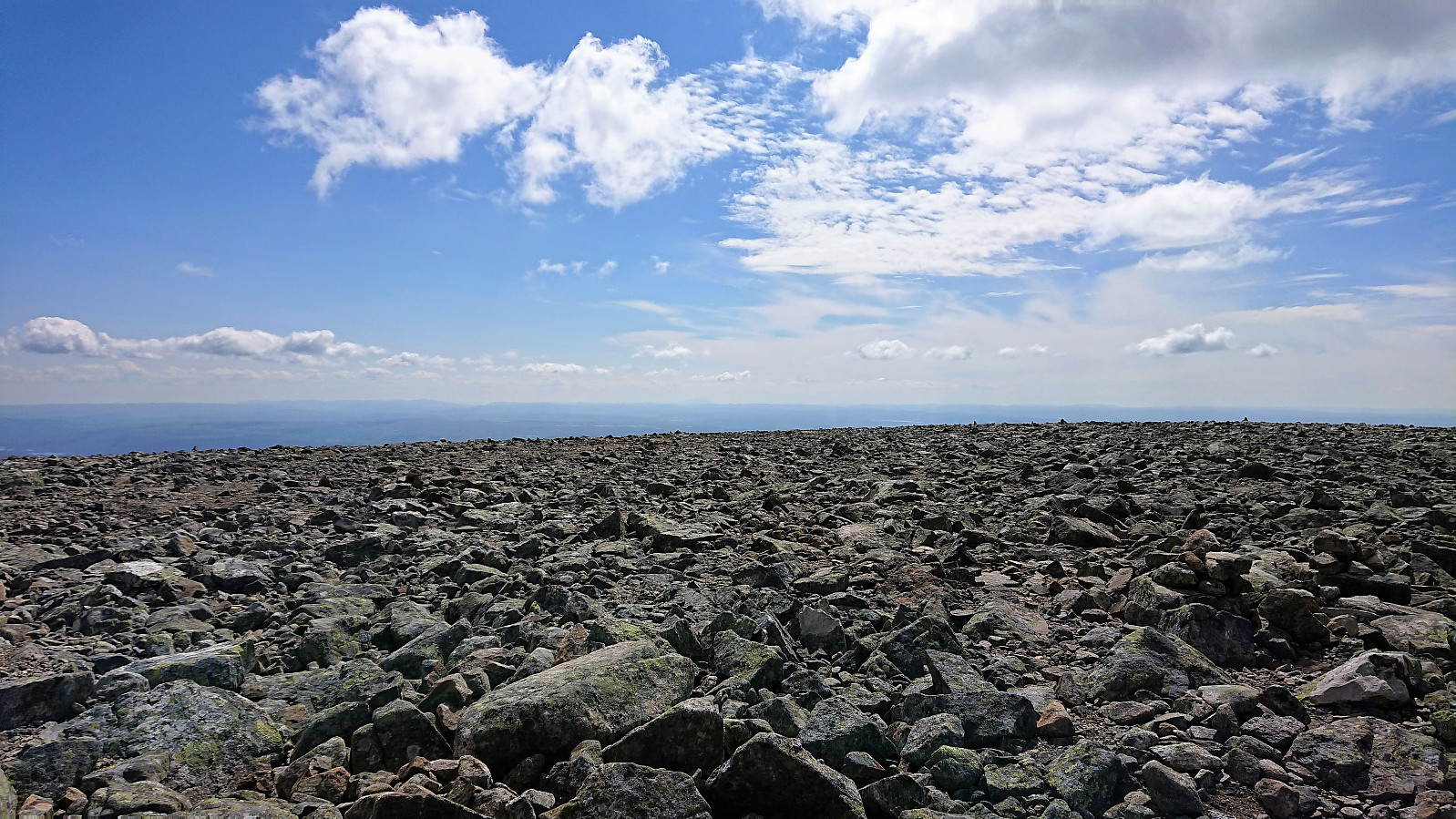
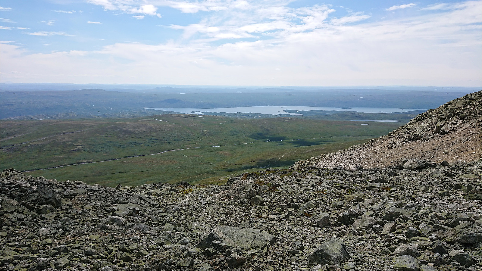
We used the standard route up Prestholtskardet from the parking lot at Prestholtseter before trying to follow the partially marked trail across the numerous rocks, and some remaining snow, towards the summit of Prestholtskarvet. Good views from the summit, but due to all the rocks, it is probably nicer to visit this summit in the winter time.
| Startzeitpunkt | 21.07.2018 11:09 (UTC+01:00 SZ) |
| Endzeitpunkt | 21.07.2018 14:18 (UTC+01:00 SZ) |
| Gesamtzeit | 3h 08min |
| Zeit in Bewegung | 2h 49min |
| Pausenzeit | 0h 19min |
| Gesamtschnitt | 2,8km/h |
| Bewegungsschnitt | 3,1km/h |
| Entfernung | 8,9km |
| Höhenmeter | 641m |

Benutzerkommentare