Hiking to "The Troll's Tongue" with my Daughter. (28.06.2017)


| Startpunkt | Skjeggedal Parkeringsplass (415m) |
|---|---|
| Endpunkt | Skjeggedal Parkeringsplass (415m) |
| Tourcharakter | Wanderung |
| Tourlänge | 8h 00min |
| Entfernung | 20,4km |
| Karte |
|
| Besteigungen | Trolltunga (1.100m) | 28.06.2018 |
|---|---|---|
| Besuche anderer PBE | Skjeggedal p-plass (415m) | 28.06.2017 12:00 |
My daughter and I were on our way from the city of Stavanger to the town of Ålesund, both on the west coast of Norway. As we had been planning our drive northwards, we had decided to do some mountain trekking along the route. On the first day of our trip we had stopped by the village of Jøssang, in order to hike to Preiekstolen [i.e. "The Pulpit Rock"]. On the second day of our trip, we wanted to go trekking to Trolltunga, in English "The Troll's Tounge". And so we did. For the night between our trek to The Pulpit Rock and our trek to The Troll's Tongue, I had booked a hotel room at a village called Ullensvang. This, however, proved to be a mistake. Ullensvang is located about 35 km north of Tyssedal, which is like a gateway to the valley Skjeggedal, the set-out point for most treks to The Troll's Tongue. I know, 35 km doesn't sound like much, but the road is narrow and winding, and there were stretches with improvement work [i.e. making the road broader and less winding] going on, and at these places traffic was stopped for up to an hour while dynamite work was being carried out. So, even though we got up quite early, and had an early breakfast, it was about noon before we had started trekking. My advice, therefore, to anyone that plans to go trekking to The Troll's Tongue, is to spend the previous night at Tyssedal Hotell, even though it might be a bit more expensive than the nearby alternatives. This hotel is located where the Tyssedal Valley meets the fjord Sørfjorden, so you won't run the risk of the hike being delayed just because there's work on the road either from Ullensvang to Tyssedal, or from Odda to Tyssedal.
At the hotel at which we were staying the night prior to this trek, we were allowed to make ourselves a packed lunch while eating breakfast for a fee of NOK 50 (about $ 5.5 or € 5). We made our lunch boxes too small, however, and this was our second mistake in connection with our trek to the Troll's Tongue. The trek to the Troll's Tongue is quite long, and you need energy to go all the way. Normally, a packed lunch with 4 slices of bread each, with cheese and jam upon them, would've been fine for the two of us. We had, however, trekked to The Pulpit Rock a bit further south in Norway the previous afternoon, and the energy stores of our bodies had not yet been filled up after that trek. At Tyssedal centre we stopped at a store to buy some beverage to bring with us in the mountain. Out of old habit, we bought almost only sugar free soda, however; I only had one single bottle of sugar sweetened soda in my rucksack as we started trekking. Now, sugar free drink is quite OK for quenching your thirst, but useless when it comes to providing you with energy for the trek, so this was our third mistake...
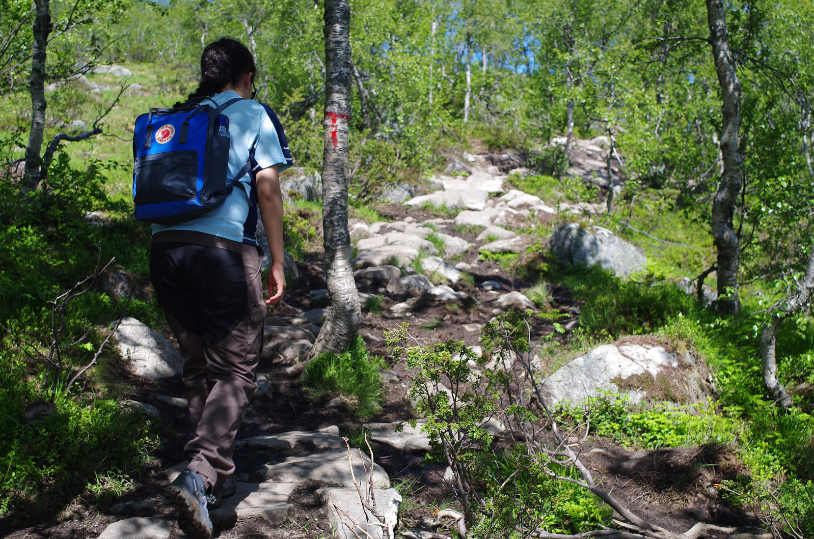
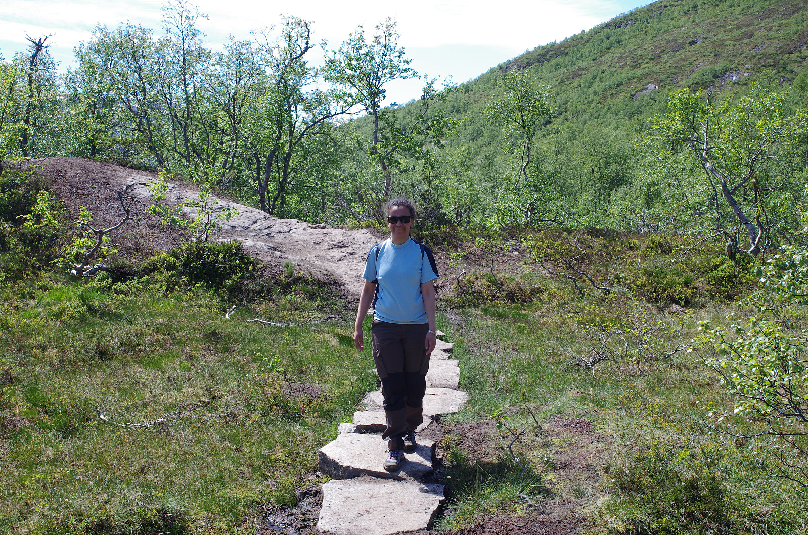
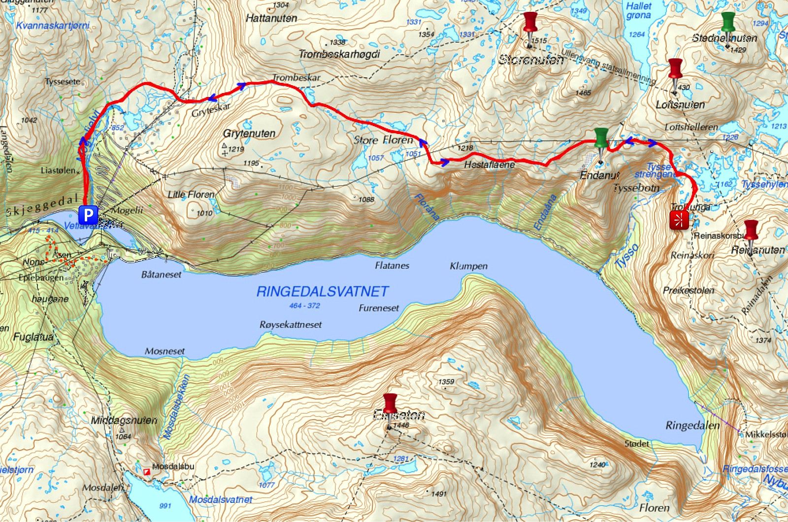
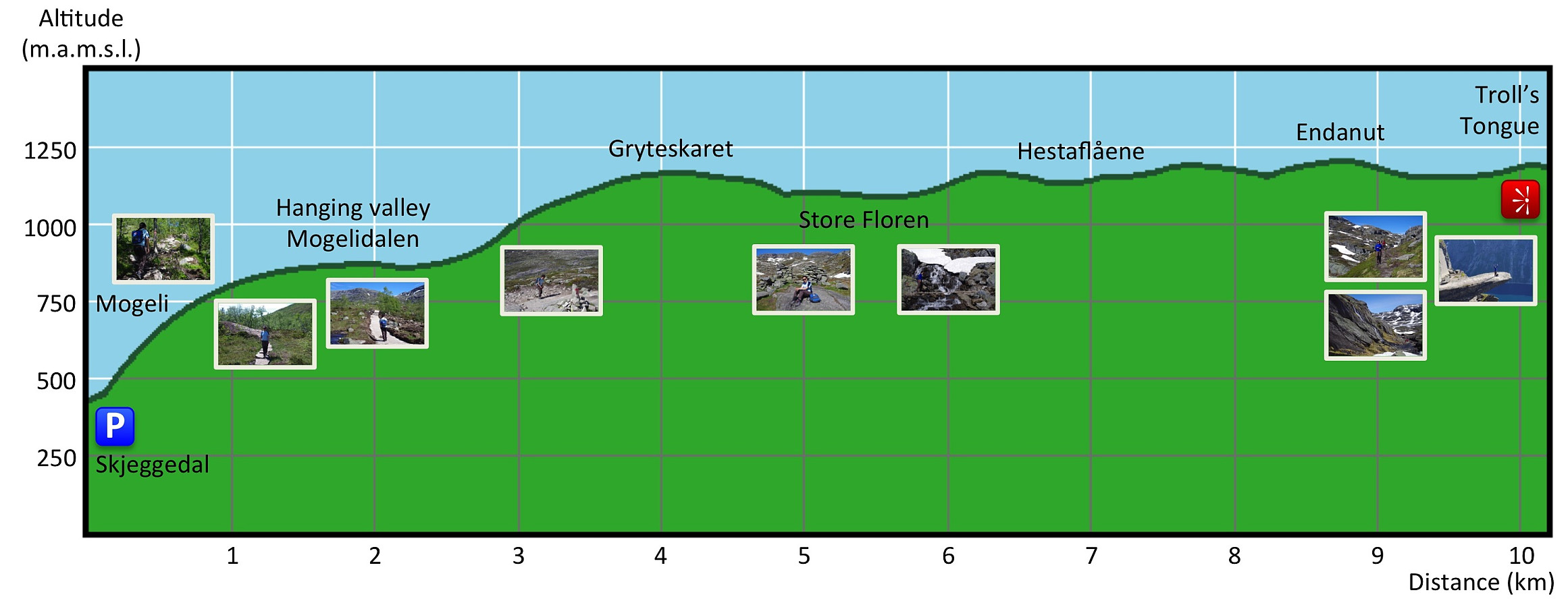
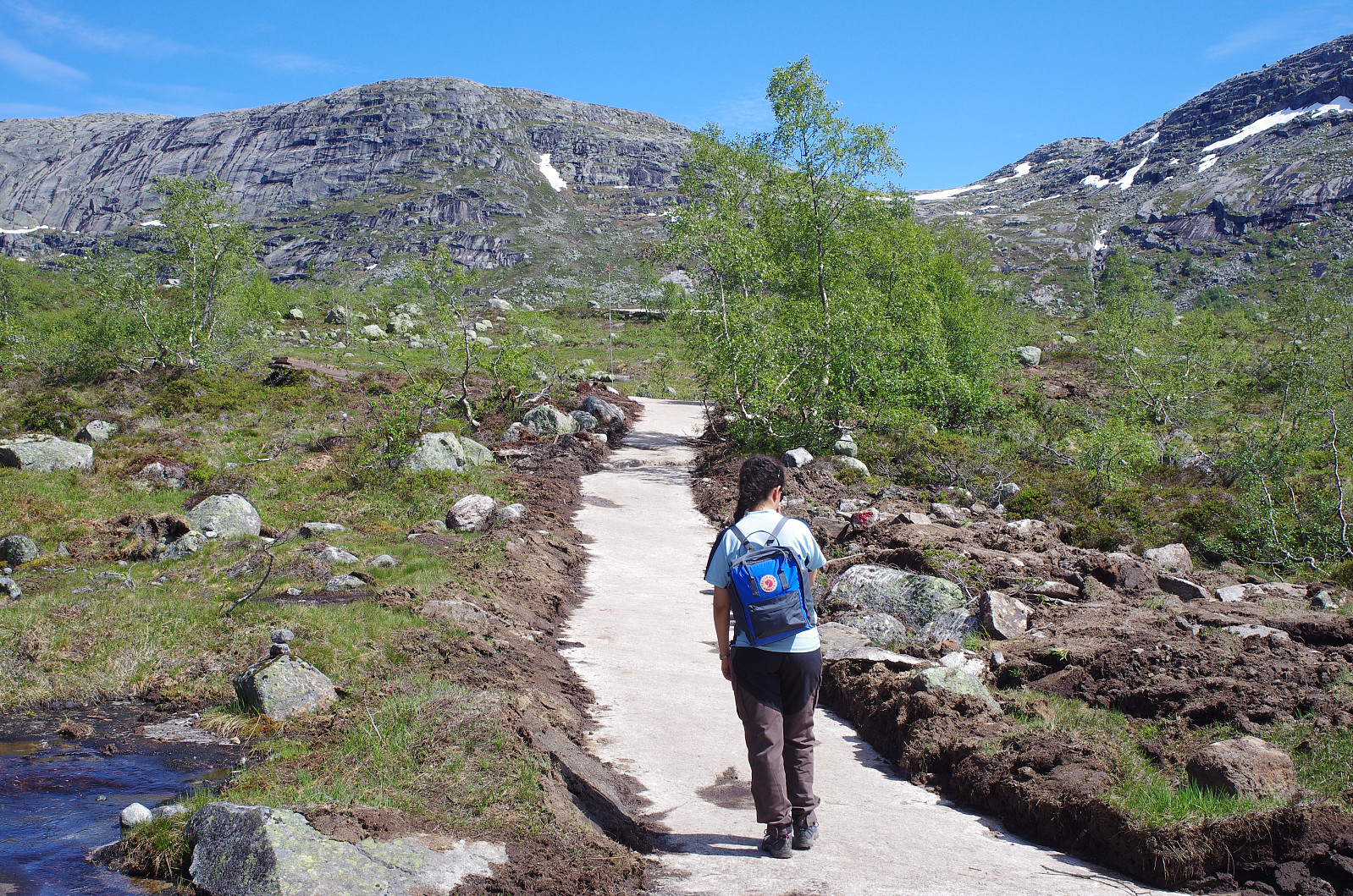
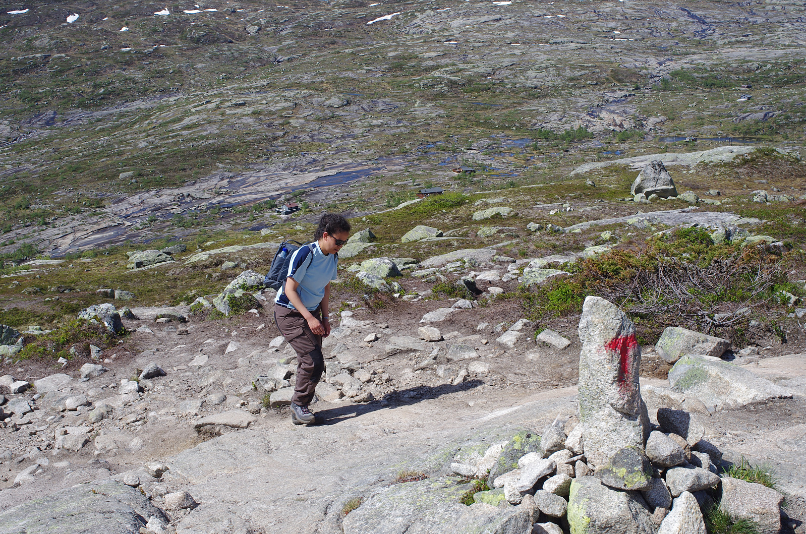
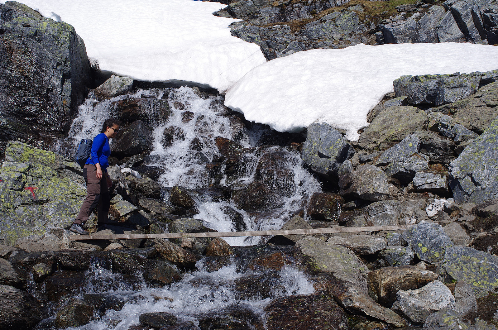
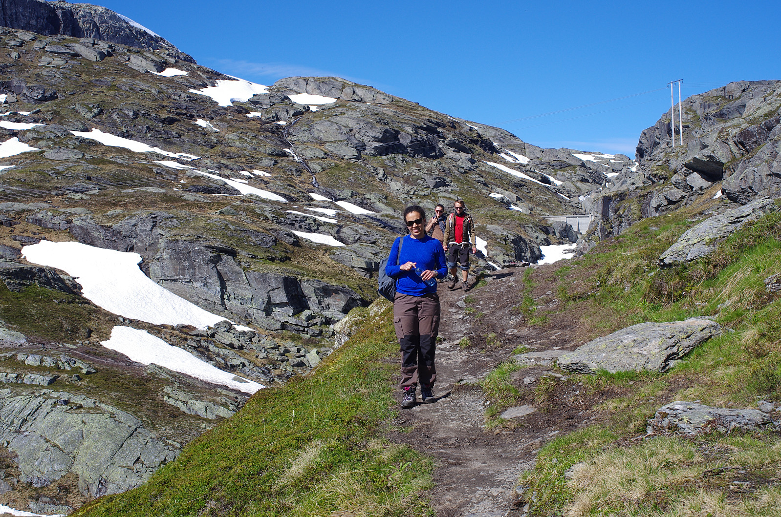
We parked our car at Skjeggedalen Parking Lot, and started trekking. This start-out point is located about 415 m.a.m.s.l. After about 2 km you reach the bottom of a hanging valley located at 860 m.a.m.s.l., and at 4 km you reach the pass between Mount Hettanuten and Mount Grytenuten, i.e. Gryteskaret (Image #5), located at about 1180 m.a.m.s.l. Once you've reached this pass, the major climb has been done; and you'll more or less follow the contour lines on the map, with only slight climbs and descents for the rest of the trek to the Troll's Tongue. In the hanging valley described, nature is beautiful. There's a vast number of ponds and small creeks, and these waterways eventually coalesce into a river called Mogelielva, which tumbles down the mountainside towards Lake Vetlavatnet, where Skjeggedalen Parking Lot is located. The climb up these first two kilometers didn't take us long, and I remember I figured out it would take us only about 4 hours to reach The Troll's Tongue if we were able to keep up the pace. Unfortunately, however, we were not able to do that as we continued our trek. From the bottom of the hanging valley, there's still some climb to do up to the pass called Gryteskaret; and as we embarked upon this part of the climb, we both noted that we were running out of energy. We had a short break and something to eat, but at this point I already realized that we hadn't brought enough food with us, and that we would have ration the food that we had with us.
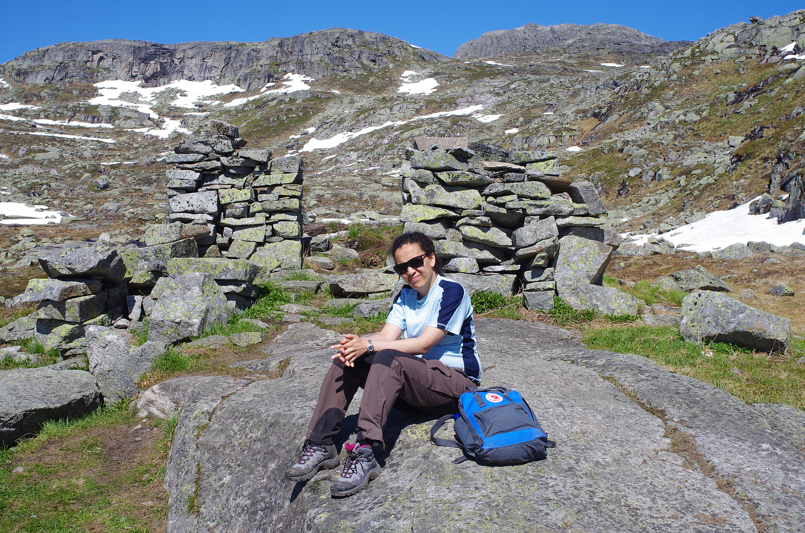
Once you've reached Gryteskaret, you remain at an altitude of between 1080 and 1200 m.a.m.s.l. for the rest of the hike to The Troll's Tongue. You do descend about 100 meters once you've passed the pass, and then you start climbing a bit again, but the climb in this part of the trek is in no way as steep and challenging as the first part of the climb. What's challenging about this part of the trip is the long distance, which little by little consume the energy that you have left. We somehow coped, however, by stopping now and then along the trek to have a food ration, and by slowing down our speed quite a bit, so as to save some energy.
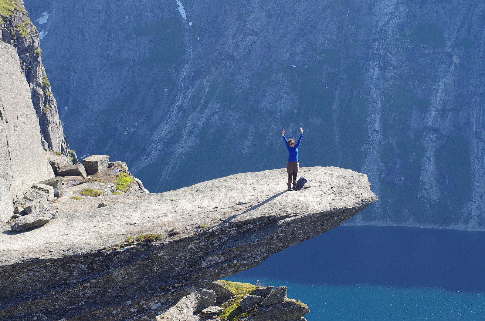
We finally reached The Troll's Tongue. The view towards Lake Ringedalsvatnet and the valley below was beautiful, and the Troll's Tongue itself was magnificent. We took some pictures, had another food ration, and then embarked on our return. On our trek back our pace decreased even more due to lack of energy. I had been thinking for a long time that the 100 meter climb back up to Gryteskaret could be a bit tough for my daughter at this time, hence I had been saving the only sugar sweetened soda that we had for her. About 5 minutes before this last climb of the trek, we had our last food ration, and I also gave her the sugar soda. The effect of rising blood sugar was amazing. She climbed the track up to the pass just as she would've done if we had just started trekking. The effect didn't last long, very well, but once we had reached the pass, the rest of the trek was downhill, so we were fine. We were both exhausted, and our final descent to Skjeggedalen wasn't very speedy; but we managed. We completed our trek in about 10 hours (5 hours in each direction), but I'm quite sure we could've done it in 8 hours if he had brought with us more food, sugar sweetened soda [or some energy drink], and maybe some chocolate...

For the next night I had booked a room at a hotel in Ulvik, north of the Hardanger fjord. This was yet another mistake. It takes about 1 1/2 hour to drive from Skjeggedal to Ulvik, and as tired and exhausted as we were at this moment, it would have been much better to spend the night at Tyssedal Hotel, which offers quite some comfort after such a hike. My recommendations for anyone who considers making the trek to The Troll's Tongue are as follows:
- Spend the night prior to the trek at Tyssedal Hotell, as this enables you to start your trek very early in the morning.
- The trek is quite long, i.e. about 10 km in each direction, hence you should make sure you have appropriate shoes and gear for mountain trekking, including some warm clothing in case it gets cold, and something that will keep you dry even if it starts raining.
- Make sure you've brought enough to eat and drink for such a long hike (i.e. food, energy drink, chocolate, sugar sweetened soda etc.).
- Spend even the night after the trek at Tyssedal Hotell. The hotel building is old, but the rooms are said to be nice, and you sure need some comfort or luxury after a trek to The Troll's Tongue.

Benutzerkommentare