Archiv - Nach Datum
Archiv - Nach Aktivität
-
Andere Tour (123)
- Expedition (123)
-
Andere Wintertour (7)
- Schneeschuhtour (7)
- Fahrradtour (1)
- Fußtour (34)
Peakbookfreunde
Gesammelte Listen


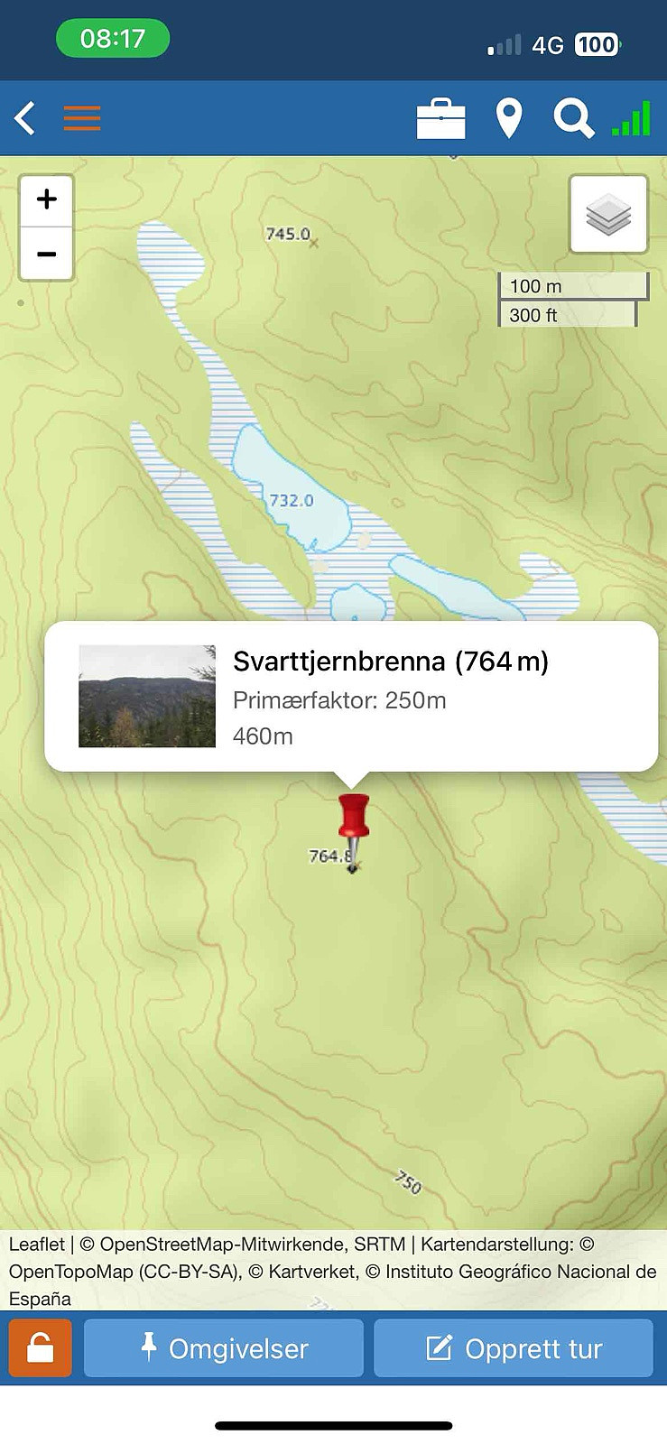
LA/OL-250 Svarttjernbrenna 764 moh
- Datum:
- 15.11.2024
- Tourcharakter:
- Expedition
- Entfernung:
- 0,8km
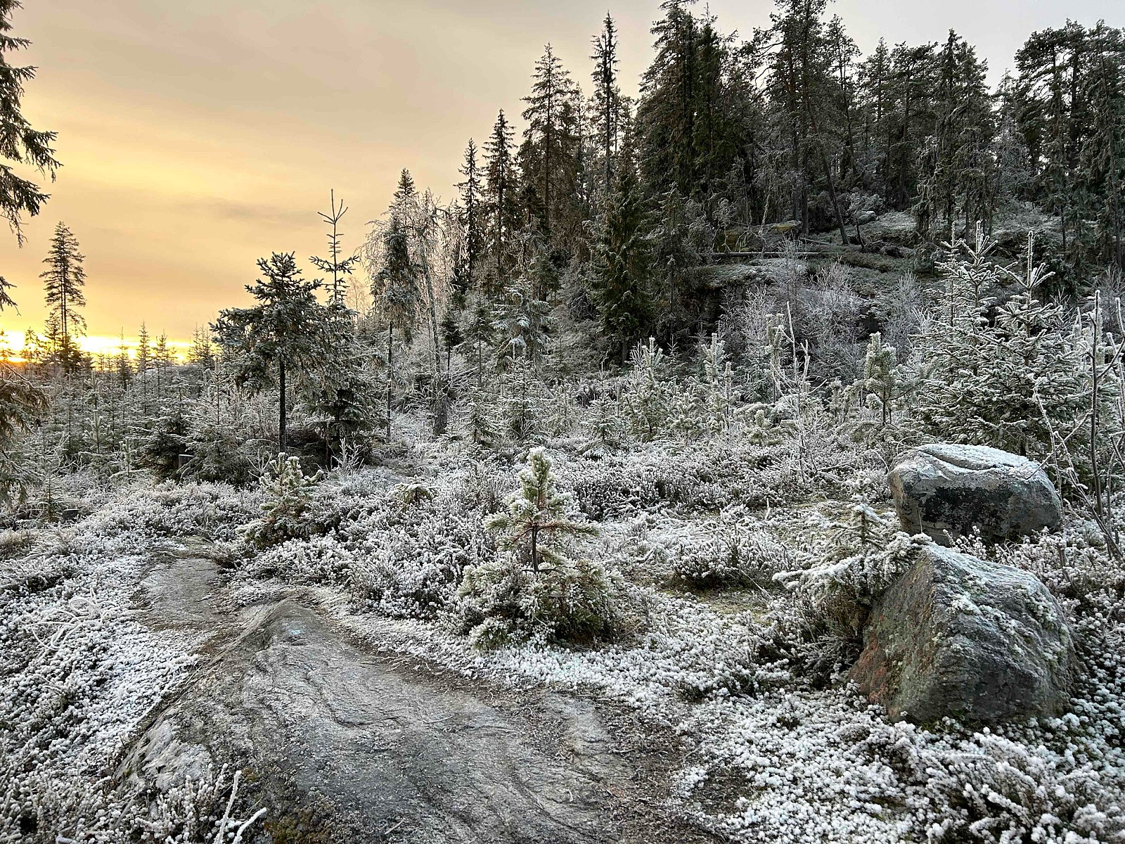
 Denne dagen dro jeg til Beitostølen for en inspeksjonsjobb. Jeg reiste hjemmefra tidlig, med tanke på å aktivere en eller to SOTA-punkter før eller etter jobben. Etter en liten stopp før Begnadalen oppdaget jeg en perle som aldri var blitt aktivert før. Det så relativt enkelt ut, forutsatt at veien opp dit var åpen, noe jeg var litt skeptisk til. Men det viste seg å være en suksess!
Ved Piltingsrud gård svingte jeg til høyre mot Solbakken og kjørte hele veien opp til den angitte parkeringsplassen. Derfra var det mindre enn 1 km til spotten, og jeg fikk faktisk med meg soloppgangen! :)
Jeg var veldig glad for å ha klart å finne disse bildene og sporene, til tross for at det var over 600 000 jobbbilder på jobbtelefonen min etter ett år!
Start: Parkeringslomme.
Sommer: Sykkel og gange >>>
Denne dagen dro jeg til Beitostølen for en inspeksjonsjobb. Jeg reiste hjemmefra tidlig, med tanke på å aktivere en eller to SOTA-punkter før eller etter jobben. Etter en liten stopp før Begnadalen oppdaget jeg en perle som aldri var blitt aktivert før. Det så relativt enkelt ut, forutsatt at veien opp dit var åpen, noe jeg var litt skeptisk til. Men det viste seg å være en suksess!
Ved Piltingsrud gård svingte jeg til høyre mot Solbakken og kjørte hele veien opp til den angitte parkeringsplassen. Derfra var det mindre enn 1 km til spotten, og jeg fikk faktisk med meg soloppgangen! :)
Jeg var veldig glad for å ha klart å finne disse bildene og sporene, til tross for at det var over 600 000 jobbbilder på jobbtelefonen min etter ett år!
Start: Parkeringslomme.
Sommer: Sykkel og gange >>>