Archiv - Nach Datum
Archiv - Nach Aktivität
-
Andere Tour (123)
- Expedition (123)
-
Andere Wintertour (7)
- Schneeschuhtour (7)
- Fahrradtour (1)
- Fußtour (34)
Peakbookfreunde
Gesammelte Listen


Nordbykollen 238 moh
- Datum:
- 20.03.2022
- Tourcharakter:
- Expedition
- Entfernung:
- 2,2km
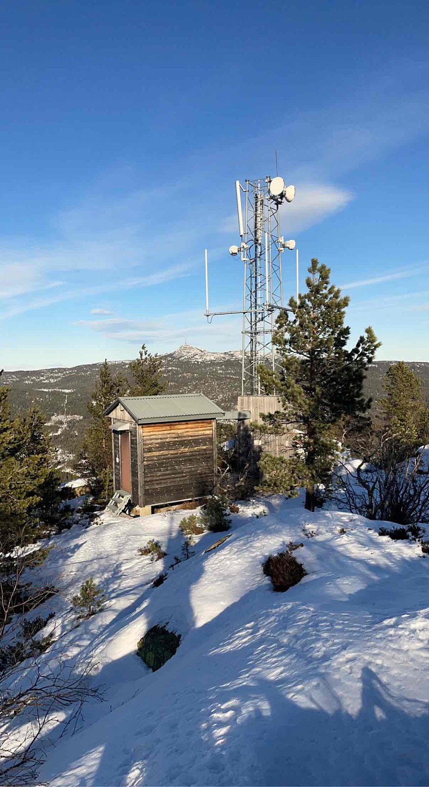
 SOTA Radioamatør aktivitet LA9PJA/P
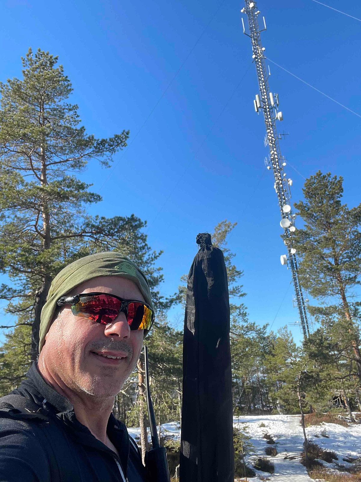
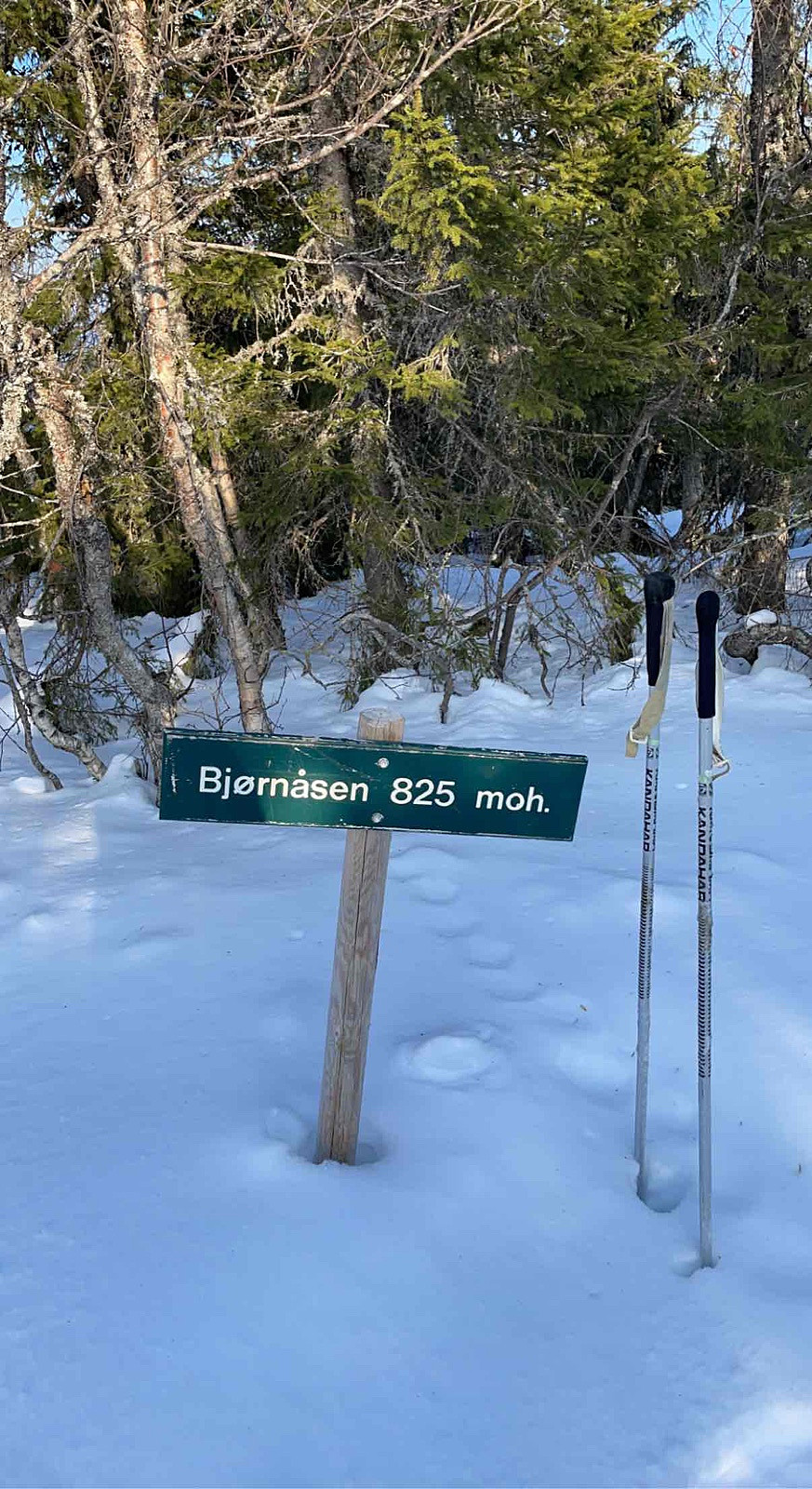
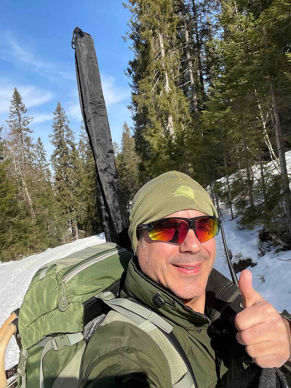
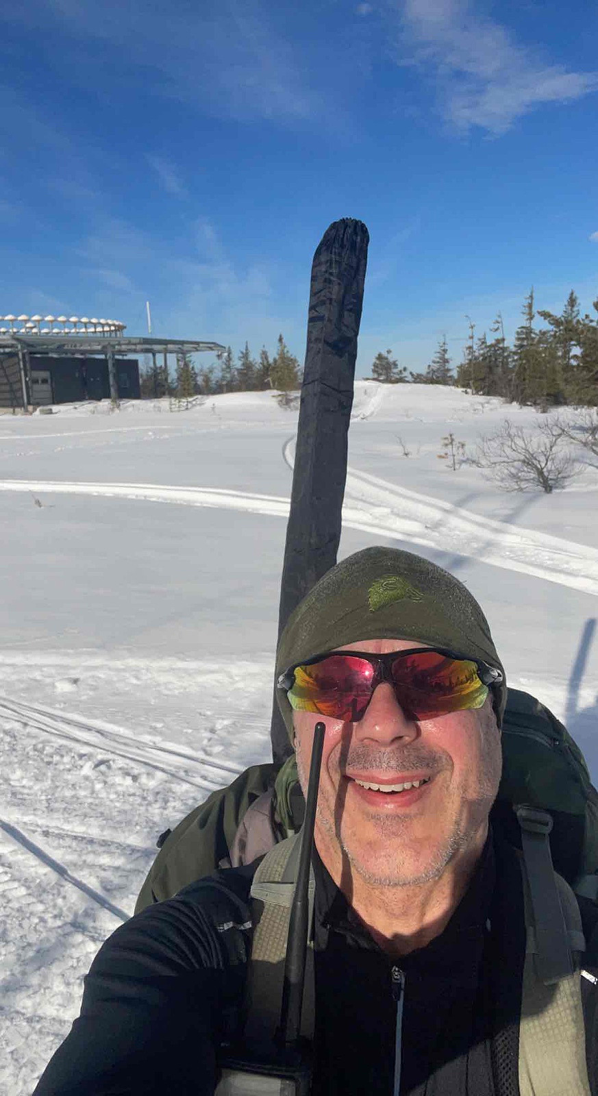
Bjørnåsen 825 moh
- Datum:
- 15.03.2022
- Tourcharakter:
- Expedition
- Entfernung:
- 4,9km
 LA9PJA/P Radioamatør
Sirikjerke 635 m
- Datum:
- 13.03.2022
- Tourcharakter:
- Expedition
- Entfernung:
- 1,2km
 LA9PJA/P Radio Amatør SOTA Aktivering
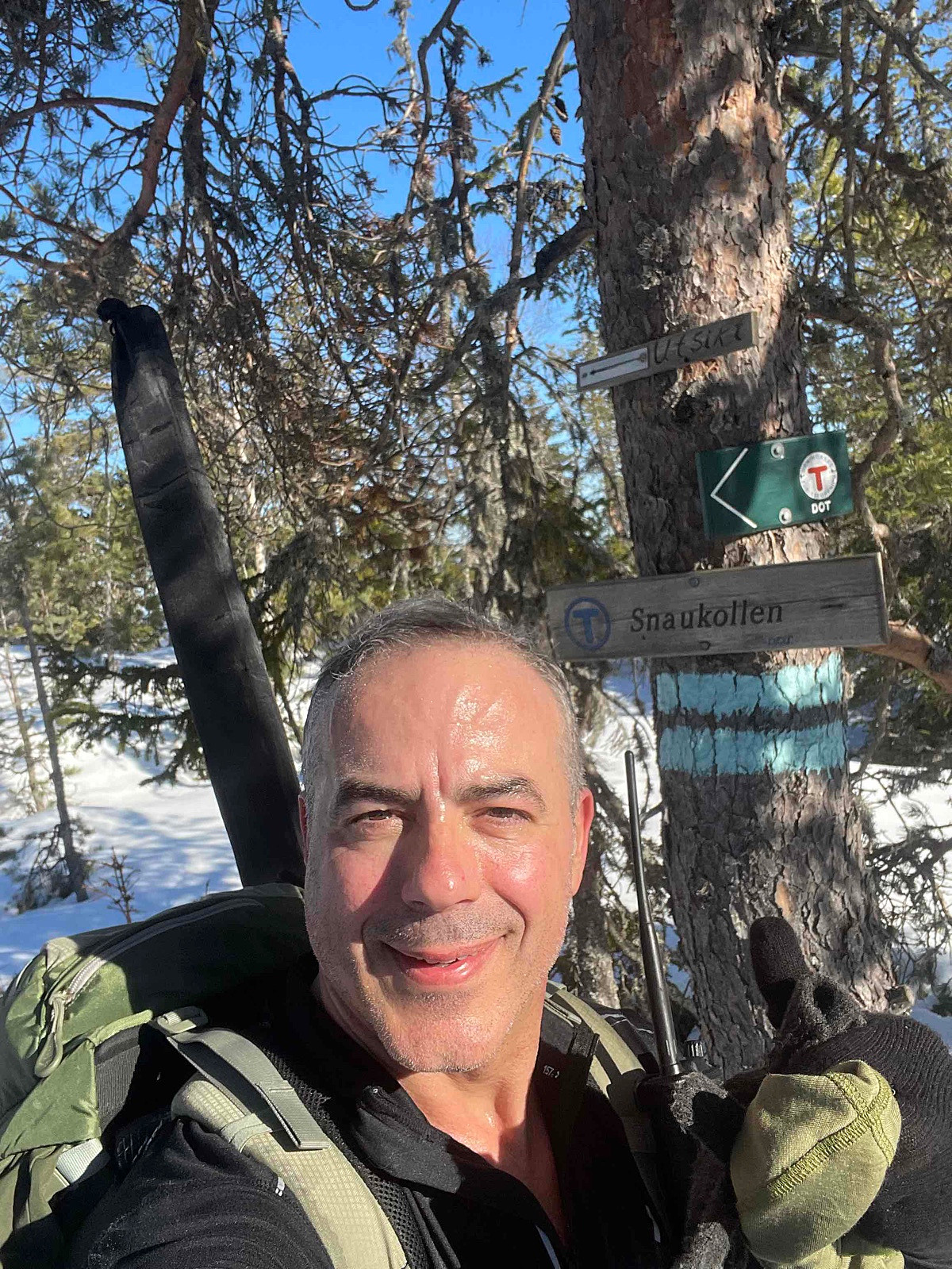
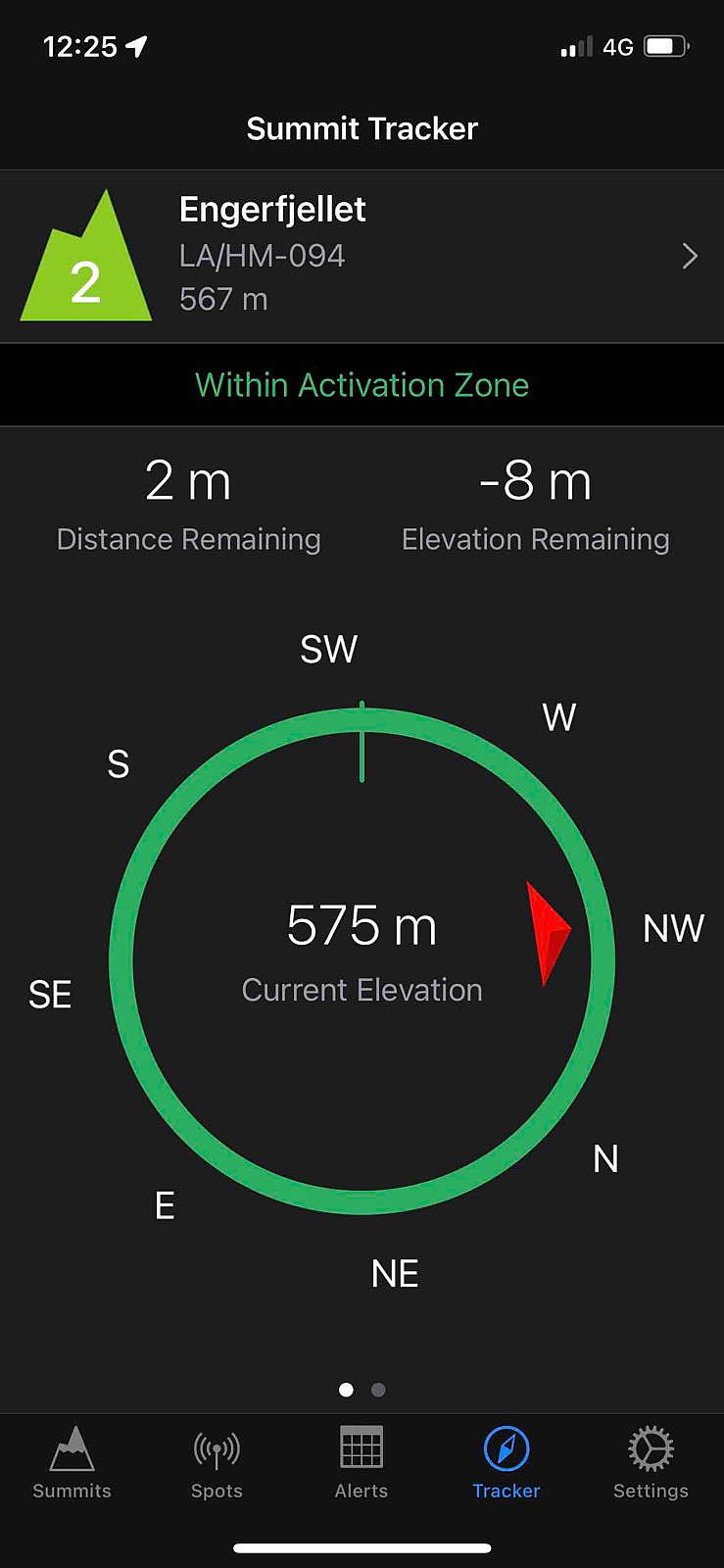
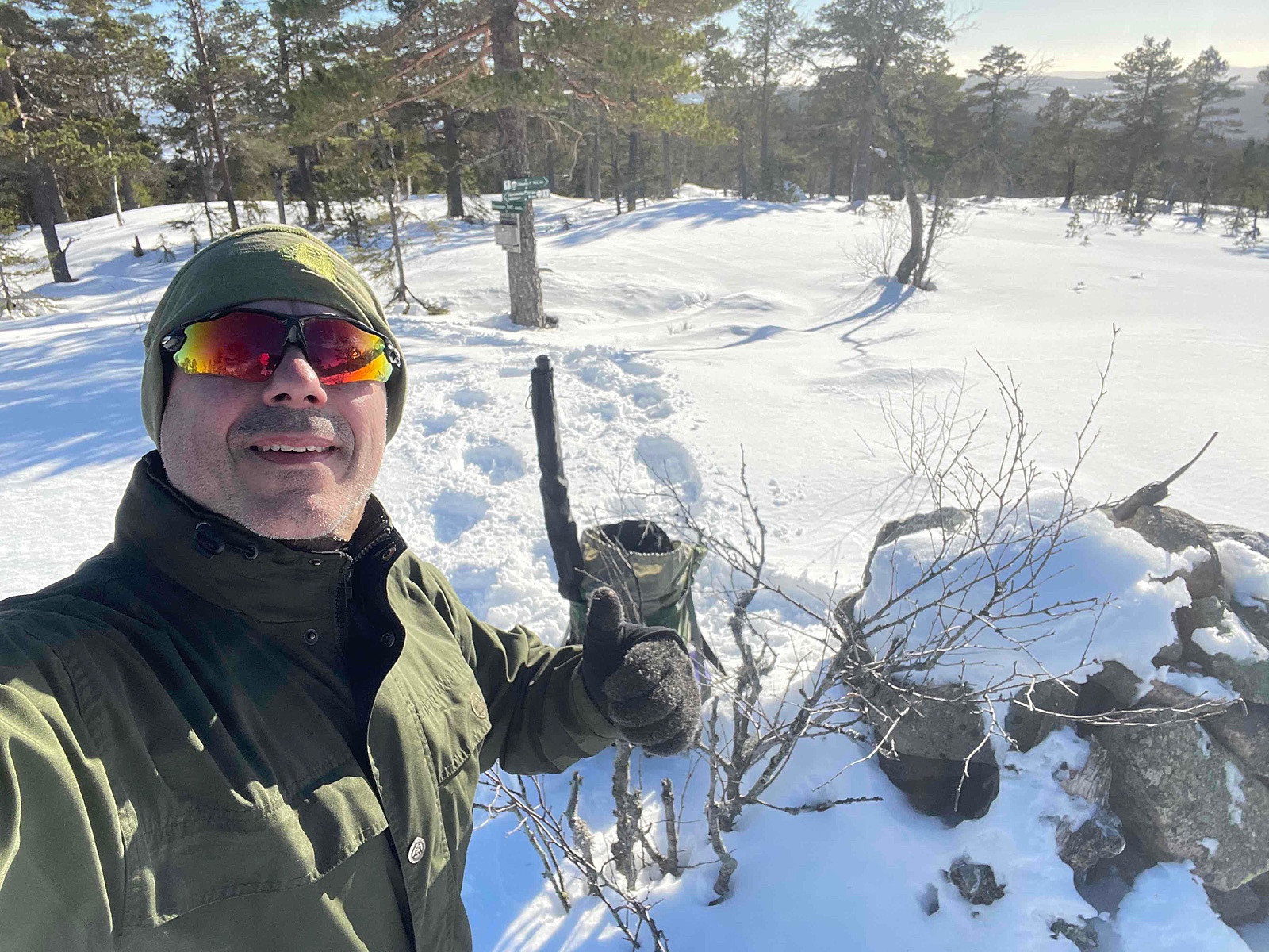
LA/HM-094 Engerfjellet 567moh
- Datum:
- 02.03.2022
- Tourcharakter:
- Expedition
- Entfernung:
- 4,5km
 Fantastisk tur i snøen på truger en vakkert vinterdag.
Distance: abt 8.5 km t/r
Start: Lynesvangen p-plass (parking).
Summer: Bike / Walk -> Hike up to summit.
Winter: Skiis / Snowshoes -> Yes snowshoes and boots with crampons when is a lot of ice.
Tollroad/Bom: 60 kr i 2025
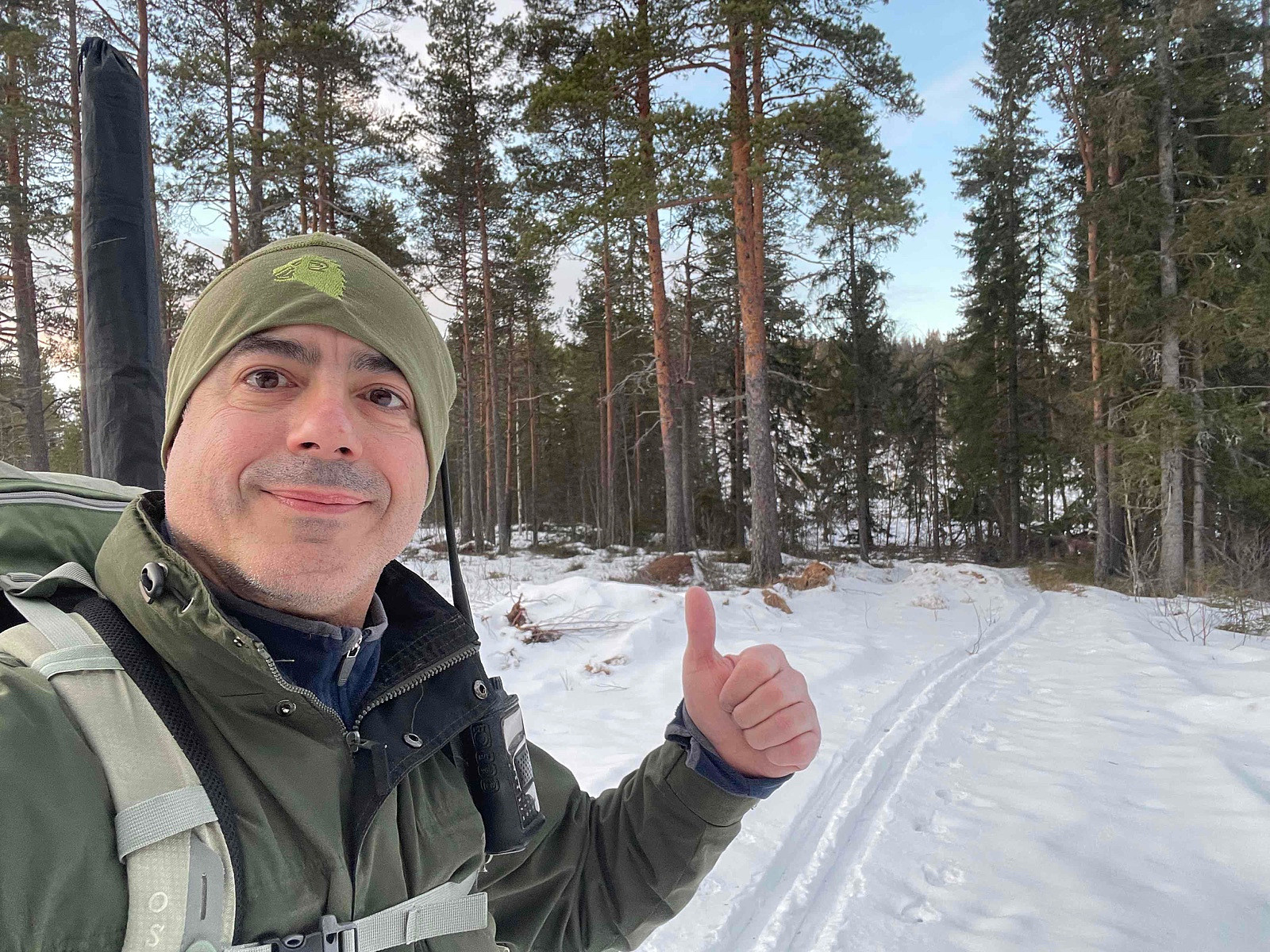
Equipment: KX3 15w & 1/4~wave Vertical (APRS LA9PJA-7/LA9PJA-9)
Apps / Resources: SOTA Goat, SOTLAS, PeakBook, APRS.FI, QTHnow / POTA, POTA-MAP.fr, AllTrails
- - - -
Photos & Track: Courtesy of LA9PJA :)
Fantastisk tur i snøen på truger en vakkert vinterdag.
Distance: abt 8.5 km t/r
Start: Lynesvangen p-plass (parking).
Summer: Bike / Walk -> Hike up to summit.
Winter: Skiis / Snowshoes -> Yes snowshoes and boots with crampons when is a lot of ice.
Tollroad/Bom: 60 kr i 2025
Equipment: KX3 15w & 1/4~wave Vertical (APRS LA9PJA-7/LA9PJA-9)
Apps / Resources: SOTA Goat, SOTLAS, PeakBook, APRS.FI, QTHnow / POTA, POTA-MAP.fr, AllTrails
- - - -
Photos & Track: Courtesy of LA9PJA :)
Knukberget 612 moh
- Datum:
- 21.02.2022
- Tourcharakter:
- Expedition
- Entfernung:
- 5,3km
 Godt merket, selv på vinter med mye snø opptil 1 m dypt helt ok ���
LA/HM-224 Storberget 508 moh
- Datum:
- 10.02.2022
- Tourcharakter:
- Expedition
- Entfernung:
- 4,0km
 This route is from South to North. It was winter time and I didn`t knew the place.
Can`t remember if there was Tollroad but it seems there was a bom lenger on the road, so I decided to take this route.
- - - - -
Distance: abt 4 km t/r
Start: Østre Venberget P-plass.
Summer: Bike / Walk -> Hike up to summit.
Winter: Skis / Snowshoes -> Yes skiis / snowshoes and boots with crampons when is a lot of ice.
Tollroad/Bom: NO - 0 kr (2022)
Equipment: KX3 15w & 1/4~wave Vertical (APRS LA9PJA-7/LA9PJA-9)
Apps / Resources: SOTA Goat, SOTLAS, SOTA Maps-Tracks, APRS.FI, Garmin Connect, PeakBook, Polar, AllTrails, QTHnow, WWFF.co, POTA, POTA-MAP.fr
- - - -
I like to Check-inn as close possible the summit and within the 25m zone as stated in the SOTA rules.
(Typically the contour line is 25 metres below peak >>>
This route is from South to North. It was winter time and I didn`t knew the place.
Can`t remember if there was Tollroad but it seems there was a bom lenger on the road, so I decided to take this route.
- - - - -
Distance: abt 4 km t/r
Start: Østre Venberget P-plass.
Summer: Bike / Walk -> Hike up to summit.
Winter: Skis / Snowshoes -> Yes skiis / snowshoes and boots with crampons when is a lot of ice.
Tollroad/Bom: NO - 0 kr (2022)
Equipment: KX3 15w & 1/4~wave Vertical (APRS LA9PJA-7/LA9PJA-9)
Apps / Resources: SOTA Goat, SOTLAS, SOTA Maps-Tracks, APRS.FI, Garmin Connect, PeakBook, Polar, AllTrails, QTHnow, WWFF.co, POTA, POTA-MAP.fr
- - - -
I like to Check-inn as close possible the summit and within the 25m zone as stated in the SOTA rules.
(Typically the contour line is 25 metres below peak >>>
