Round around Bjørndalsvatnet (20.11.2022)

| Startpunkt | Varden (45m) |
|---|---|
| Endpunkt | Varden (45m) |
| Tourcharakter | Wanderung |
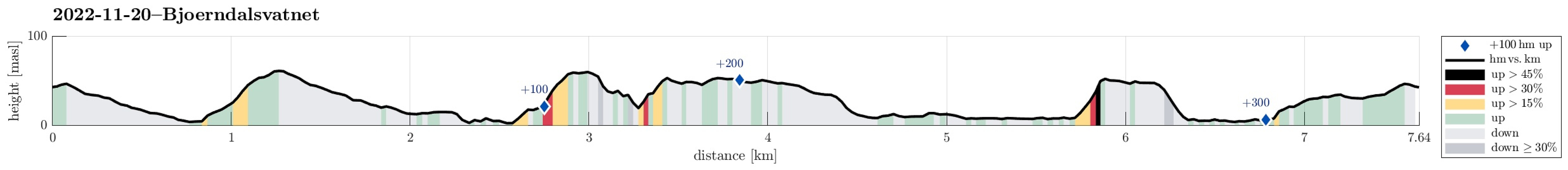
| Tourlänge | 2h 00min |
| Entfernung | 7,7km |
| Höhenmeter | 346m |
| GPS |
|
| Besteigungen | Ørnahaugen (66m) | 20.11.2022 |
|---|
Trip Summary
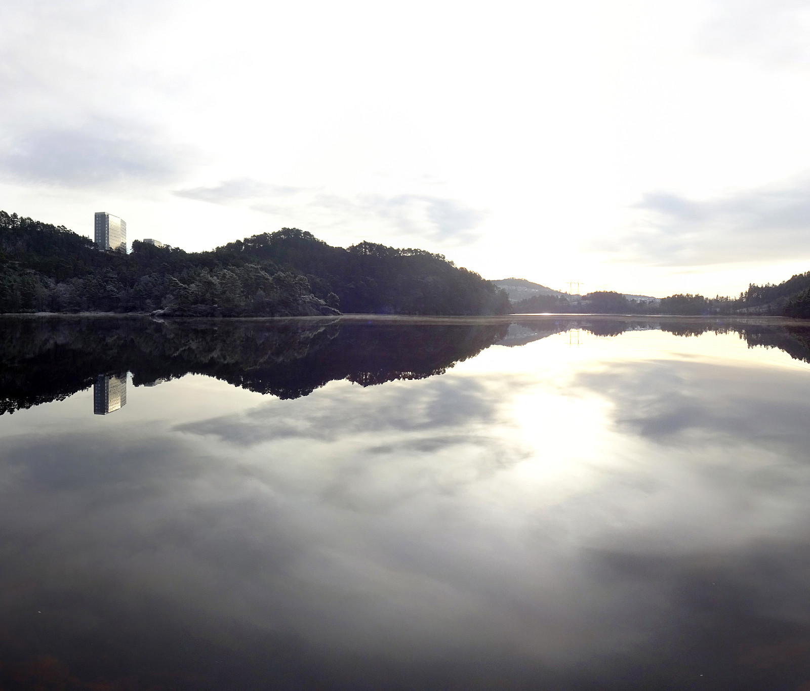
Heading for some fresh air, we decided to make a round around Bjørndalsvatnet. Starting from Varden, we first crossed over Bjørgeveien into the direction of Knappen, ascending Sandeidbrotet to reach the trail that would bring us over to Bjørgelien. Via Bjørgebrekken, we then connected to Bjørgedalen and we used the connection down to Kjerreidvika. On the other side, we ascended to Ørnahaugen, before continuing further northwards to Bjørndalsskogen. There, we crossed Bjørgeveien (again) and descended to Bjørndalsvatnet. Surrounding the lake in its north, we got to the eastern side, where we followed trails back to Varden, also passing by Gjeddevatnet after getting over between the two lakes east of Elvareidet.
Photos
Selected photos are available as Google photo album.
Useful Resources
See also the related FB-page Hiking around Bergen, Norway.

Benutzerkommentare