Round around Jordavatnet (23.05.2021)

| Startpunkt | Kismulvegen (60m) |
|---|---|
| Endpunkt | Kismulvegen (60m) |
| Tourcharakter | Bergtour |
| Tourlänge | 2h 00min |
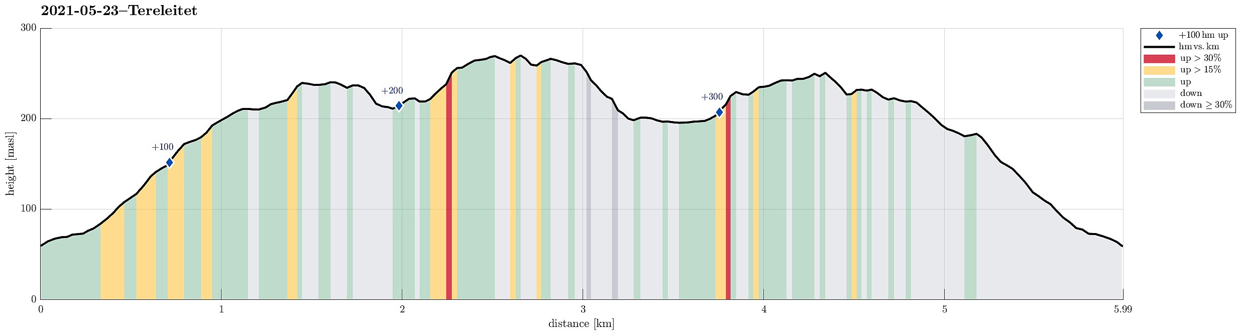
| Entfernung | 6,0km |
| Höhenmeter | 371m |
| GPS |
|
| Besteigungen | Hamresåta (253m) | 23.05.2021 |
|---|---|---|
| Tereleitet (245m) | 23.05.2021 |

Trip Summary
The later afternoon seemed to be OK for a short walk and so we drove into the direction of Fana. Before the street starts to lead up to Fanafjellet, we turned left near the church of Fana and continued into the direction of Kalandsvatnet. Once there, and instead of following the "main road" in the northwest of Kalandsvatnet, we followed the very narrow road in the southwest of Kalandsvatnet into the direction of Kismul. At Ytre Sandvika, we parked right next to the road and started our walk from there. We first walked a little bit "back" (in northern direction), following a side road that is a bit higher up than Kismulvegen. Near house #141, this road splits again and we continued along the upper part. Maybe only 100m further along this stretch, we turned left (onto a forest road) that leads up through a little valley into the direction of Tornhaugen. This brought us to another forest road, which lead us further upwards (until it basically ends at about 145mosl). There, we identified two options of continuing further, with one of them looking like a regular trail (in westward direction) and the other one leading upwards in southwestern direction. Following the latter one, we got into the little valley of Tverrbekken, and walking this nice little valley upwards we arrived at the swampy area in the north of Tereleitet. At its southwestern end, not far from Jordavatnet, we connected to a trail, coming down from the northwest there. Following this trail, we got to Tereleitet within a few moments. On the "top" of Tereleitet, we were surprised to see trail markers, top markers, etc., as if this "top" would be prominent in any way! :-) Following the trail for a short stretch from there (in southeastern direction), we walked over the "heights" of Tereleitet. Where the trail started to lead downwards again, we left the "main trail" and headed towards the southwest (into the direction of Lauvåsen) instead. This lead us between Jordavatnet (in the northwest) and Hamretjørnane (in the southeast) and further towards the northeastern slopes of Lauvåsen. Passing under the power lines there, we ascended to Lauvåsen and checked a few of the places up there (Lauvåsen is not really very peaky "mountain"). Get down again from Lauvåsen, we first headed back to the power lines (maybe a bit further to the east than necessary). More or less under the power lines, then, mostly in northwestern direction, we descended towards Jordavatnet. When almost down to the water line, we connected to a simple trail that brought us to the western end of Jordavatnet. Surrounding Jordavatnet in its west, we then approached Jordvasshaugen, ascending it from is southern (relatively steep!) side. From Jordavasshaugen, we then continued to Hamresåta, from where we enjoyed some nice views. Descending for about 25 height meters from Hamresåta on its northern side, we connected to the trail that further in the east leads to Tereleitet. Just meters before closing the round at the swampy area in the north of Tereleitet, we turned left (in the southeast of Jordavasshaugane) and followed a nice trail down through the forest (towards Tornhaugen). In the northeast of Tornhaugen, we ended up on exactly the trail, which would have been to former of two options mentioned above. This way, we were back on the forest road(s) within short and walked them down and back to our car within the remaining minutes. All in all, making this round around Jordavatnet was a worthwhile late afternoon activity! :-)
Photos
Selected photos are available as Google photo album.
Useful Resources
See also the related FB-page Hiking around Bergen, Norway.

Benutzerkommentare