Løvstakken for some fresh air (04.11.2018)

| Startpunkt | Krohnegården parking (160m) |
|---|---|
| Endpunkt | Krohnegården parking (160m) |
| Tourcharakter | Bergtour |
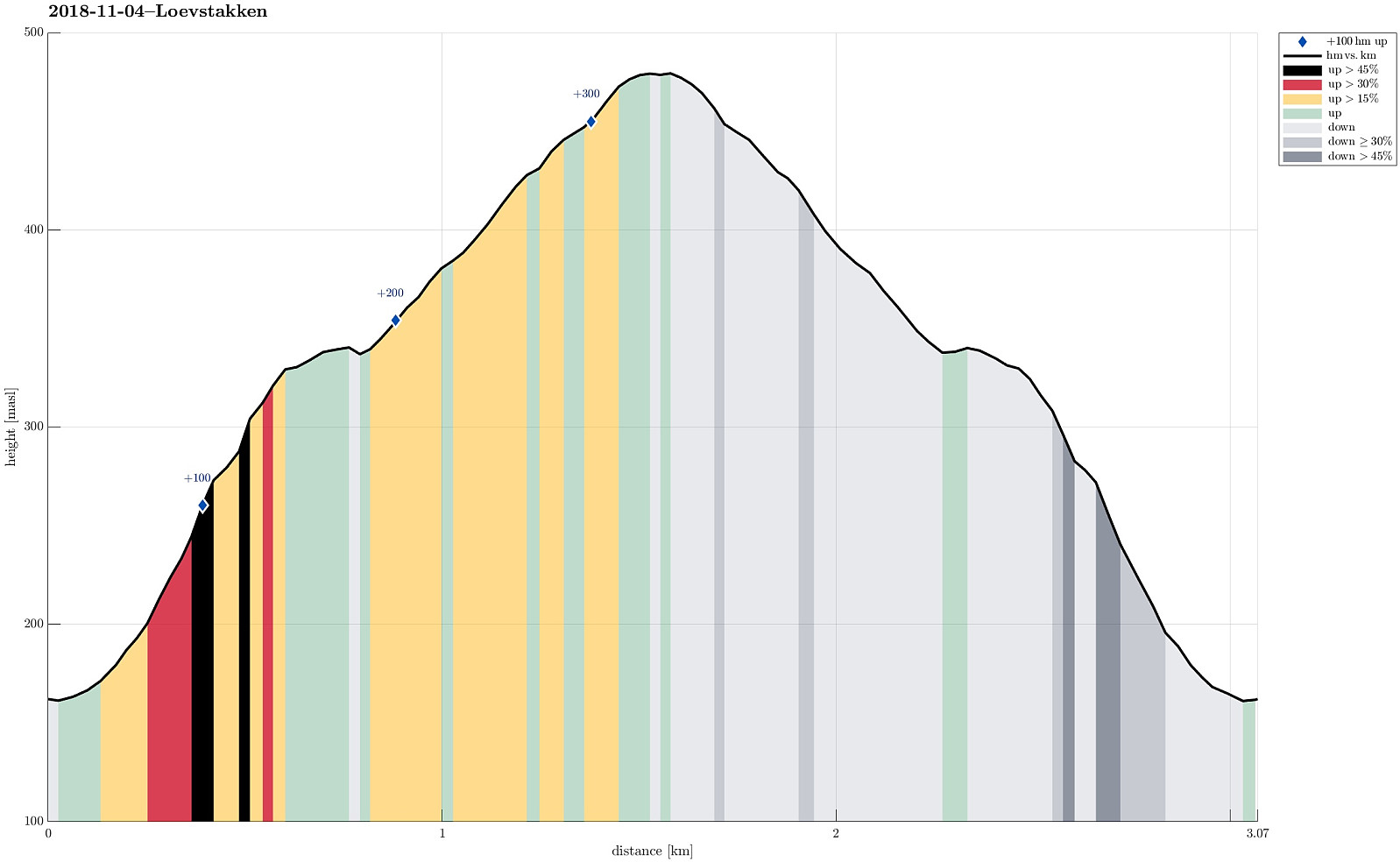
| Tourlänge | 1h 00min |
| Entfernung | 3,1km |
| Höhenmeter | 332m |
| GPS |
|
| Besteigungen | Løvstakken (478m) | 04.11.2018 |
|---|---|---|
| Besuche anderer PBE | Krohnegården p-plass (160m) | 04.11.2018 |
Note that this track has been created from memory, i.e., it was not recorded automatically.
Trip Summary
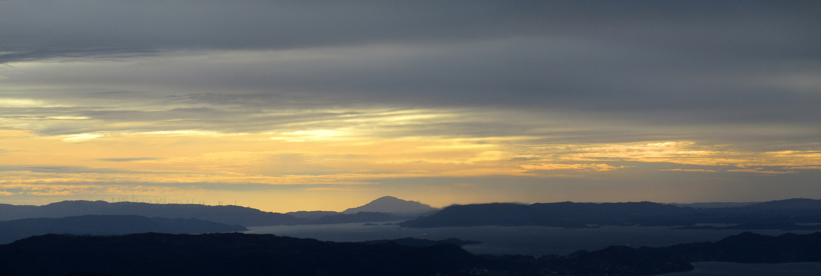
Due to a lack of more time, we this time "only" made a quick hike up Løvstakken. We parked right next to Litlavatnet in Fyllingsdalen and ascended via the main path to Løvstakken from there (first towards Ravnefjellet, then around and up to Løvstakken). After a short stop at the top (in strong winds!), we returned along the same path. Always good to at least get a bit of fresh air! :-)
Photos
Selected photos are available as Google photo album.
Useful Resources
See also the related FB-page Hiking around Bergen, Norway.
Web page WestCoastPeaks.com provides useful information about Løvstakken.

Benutzerkommentare