Damsgårdsfjellet from Laksevåg (05.03.2016)

| Startpunkt | Holen school (55m) |
|---|---|
| Endpunkt | Holen school (55m) |
| Tourcharakter | Bergtour |
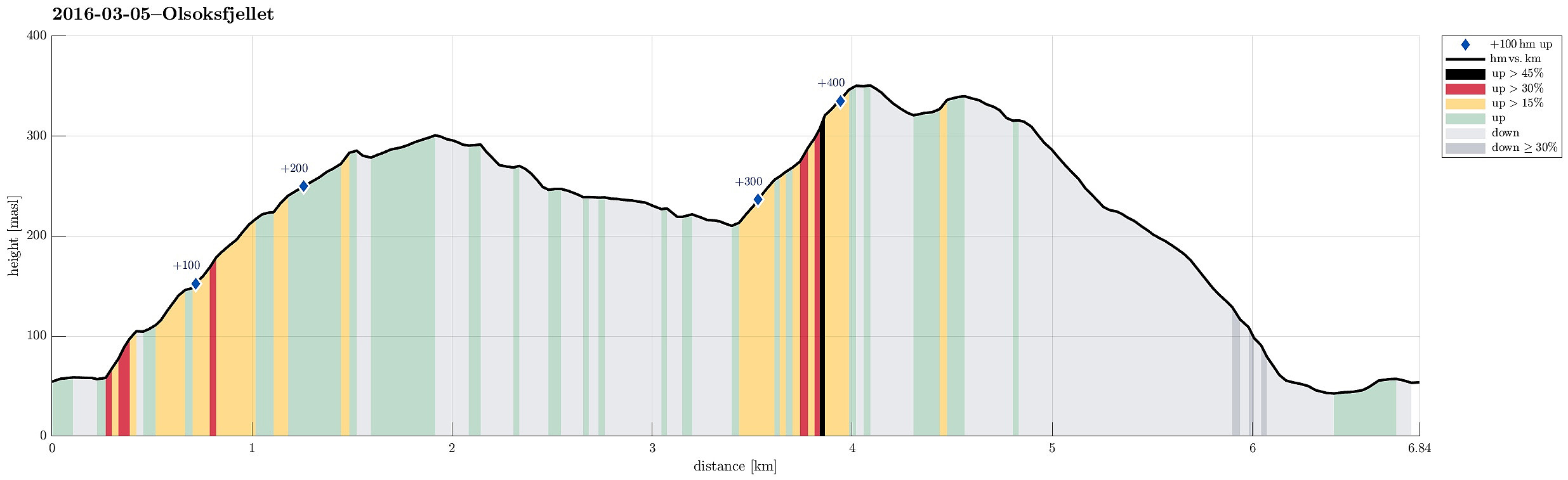
| Tourlänge | 2h 00min |
| Entfernung | 6,8km |
| Höhenmeter | 459m |
| GPS |
|
| Besteigungen | Damsgårdsfjellet (344m) | 05.03.2016 |
|---|---|---|
| Holafjellet (286m) | 05.03.2016 | |
| Olsokfjellet (353m) | 05.03.2016 | |
| Besuche anderer PBE | Chr. Sundts hytte (ruin) (218m) | 05.03.2016 |
| Trigpunkt nord på Damsgårdfjellet (315m) | 05.03.2016 | |
| Holefjellet utsikt vest (303m) | 05.03.2016 | |
| Byste C. G. Sundt (210m) | 05.03.2016 | |
| Rundetoppen (229m) | 05.03.2016 | |
| Soldathytten (215m) | 05.03.2016 | |
| Vågedalen barnehage (54m) | 05.03.2016 |
Trip Summary
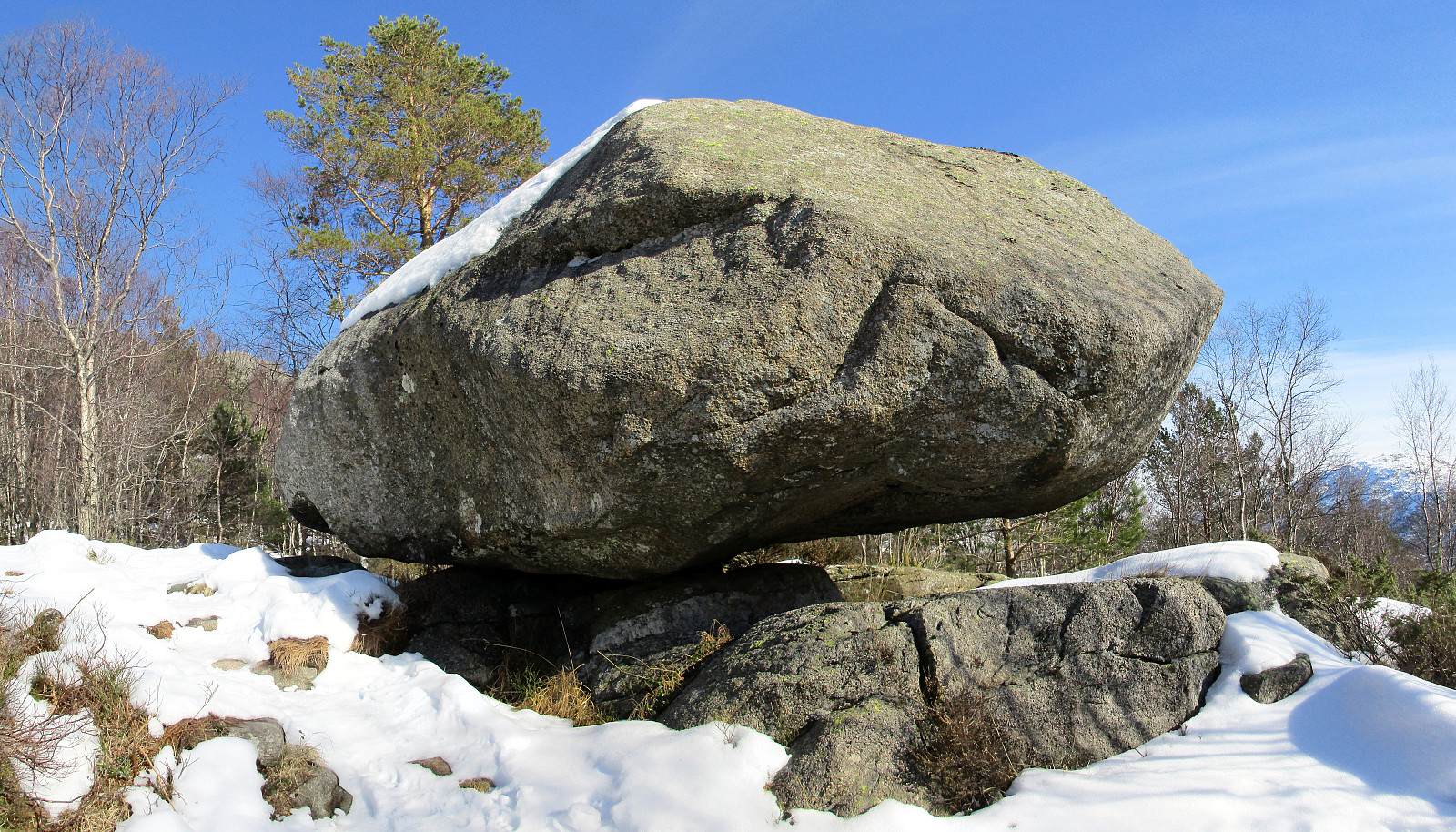
We parked near Holen school, at the northern part of Laksevåg. Following Øvre Holen, first, for a few meters (towards northwest), we found the trail head, from where we ascende do Rundetoppen and Holefjellet first (along a nice ridge with views over Laksvåg and towards Lyderhorn). We then descended into the valley (to the southwest from Holefjellet), in which we met another path up from Laksevåg (from Nygårdslien). From there, we continued towards Espedalen, right underneath Olsokfjellet. At the upper end of Nordnæsdalen, where the is a little hut and a simple soccer field, we crossed over to the side of Olsokfjellet and ascended to the top via its southern ridge. From Olsokfjellet, we continued to Damsgårdsfjellet and descended from there via its northern ridge towards Laksevåg. While we probably also could have taken a path down in Vågedalen, we stayed on the ridge until we connected to Herman Grans vei. From there, it was only a few steps back to our car. All in all, we enjoyed the sun that showed some new spring-strength, while still the ground was covered with snow. Very nice!
Photos
Selected photos are available as Google+ photo album.
Useful Resources
Web page WestCoastPeaks.com provides useful information about Løvstakken as well as useful information about Olsokfjellet, Gravdalsfjellet, and Damsgårdsfjellet.

Benutzerkommentare