Knappen (08.11.2015)

| Startpunkt | Varden (45m) |
|---|---|
| Endpunkt | Varden (45m) |
| Tourcharakter | Spaziergang |
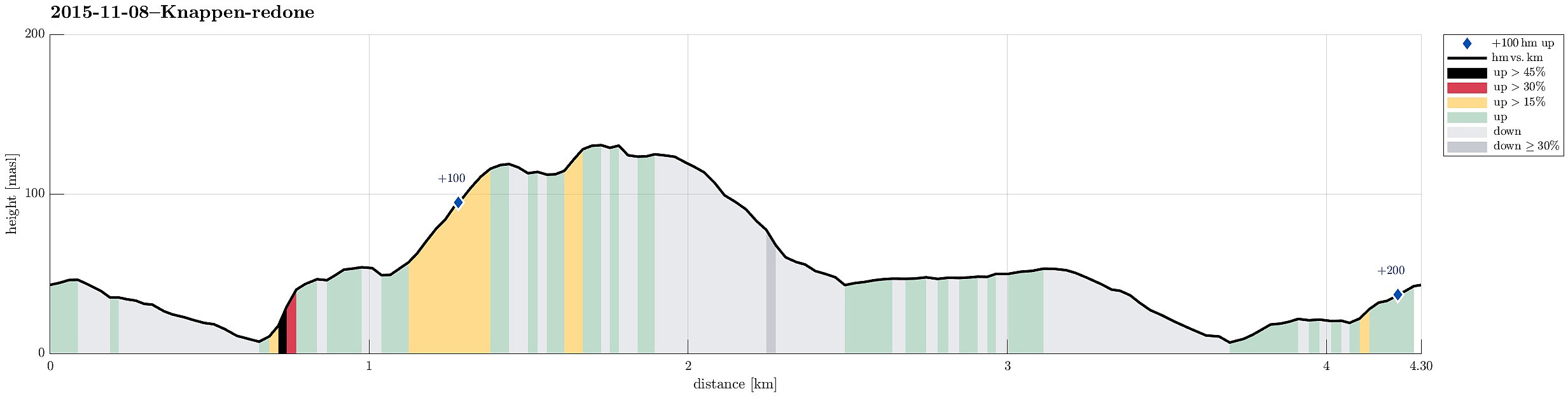
| Tourlänge | 1h 00min |
| Entfernung | 4,3km |
| Höhenmeter | 206m |
| GPS |
|
| Besteigungen | Knappen (135m) | 08.11.2015 |
|---|
Note that this track has been created a posteriori, i.e., from memory, not automatically recorded.
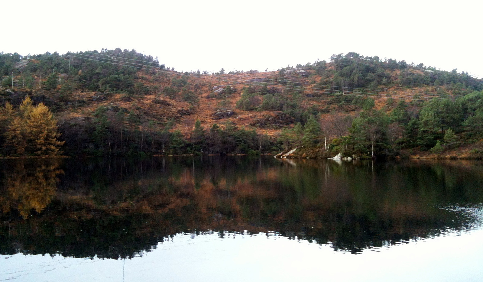
Trip Summary
From Varden, we walked over the bridge over Bjørgeveien and then up to Knappen. Back, we descended on the east and north of Knappatjørna, before returning to Varden.

Benutzerkommentare