Vidasethovden (14.07.2012)

| Startpunkt | Feios (525m) |
|---|---|
| Endpunkt | Feios (525m) |
| Tourcharakter | Bergtour |
| Tourlänge | 4h 00min |
| Entfernung | 9,3km |
| Höhenmeter | 916m |
| GPS |
|
| Besteigungen | Vidasethovden (1.228m) | 14.07.2012 |
|---|
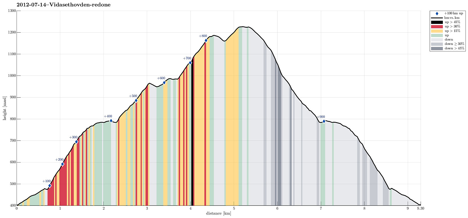
Note that this track has been created a posteriori, i.e., from memory, not automatically recorded.
Trip Summary
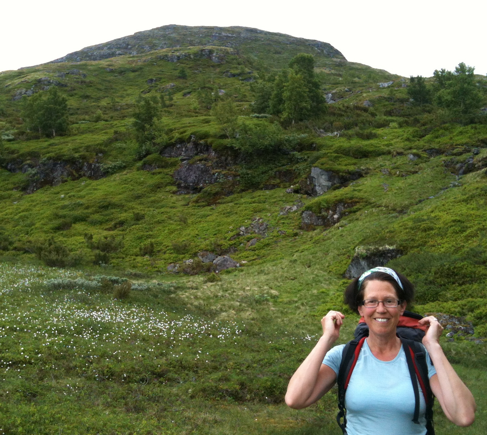
Very nice hike up and down Vidasethovden.
Photos
Selected photos are available as G+ photo album.

Benutzerkommentare