Førdesveten (23.03.2008)

| Startpunkt | Førdesvatnet (20m) |
|---|---|
| Endpunkt | Førdesvatnet (20m) |
| Tourcharakter | Bergtour |
| Tourlänge | 2h 00min |
| Entfernung | 4,6km |
| Höhenmeter | 320m |
| GPS |
|
| Besteigungen | Førdesveten (284m) | 23.03.2008 |
|---|---|---|
| Besuche anderer PBE | Førdesveten fra øst (Førde) parkering | 23.03.2008 |
| Stolåsen parkering (20m) | 23.03.2008 |
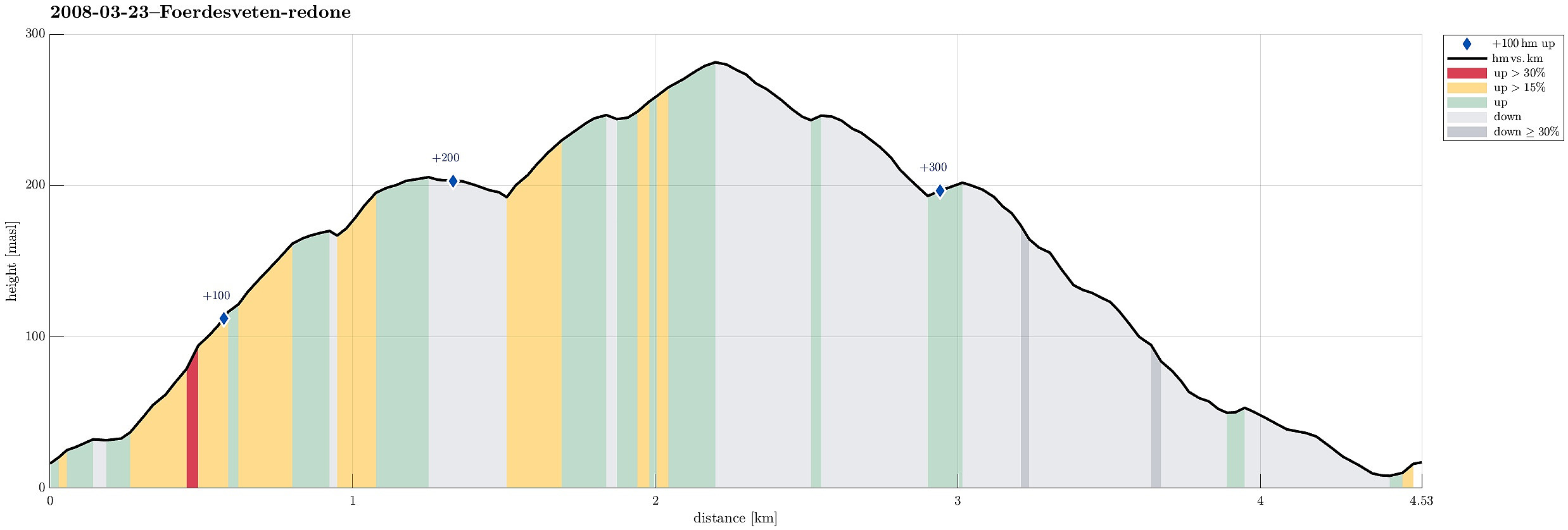
Note that this track has been created a posteriori, i.e., from memory, not automatically recorded.
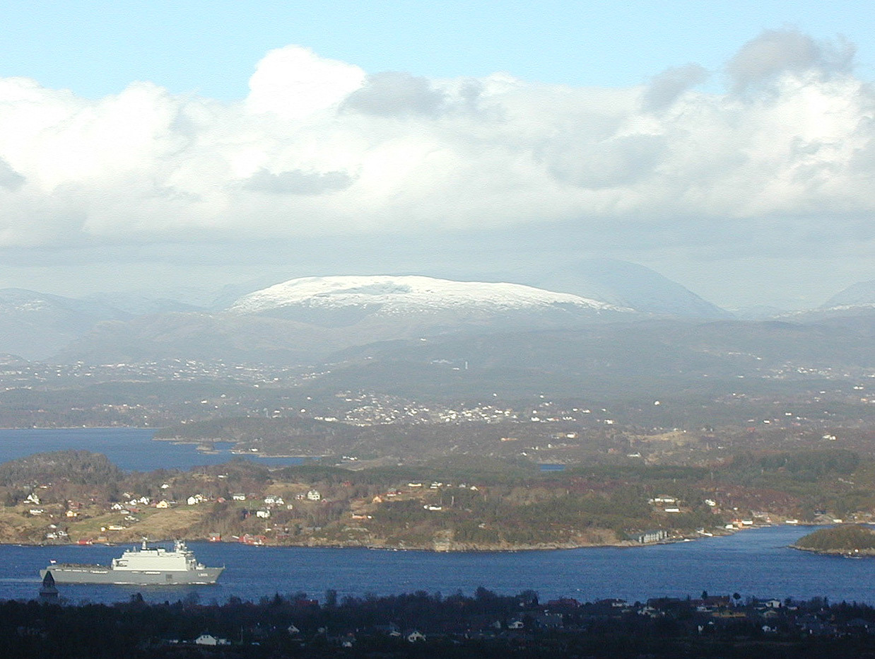
Nice hike up and down Førdesveten.

Benutzerkommentare