Hike around Dyrdalsvatnet (11.08.2007)

| Startpunkt | Øvstebøvegen (235m) |
|---|---|
| Endpunkt | Øvstebøvegen (235m) |
| Tourcharakter | Wanderung |
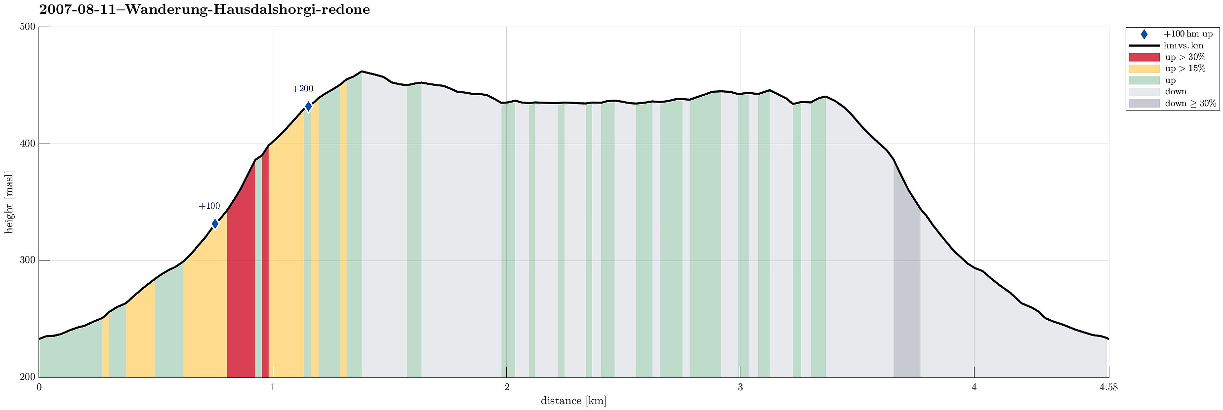
| Tourlänge | 2h 00min |
| Entfernung | 4,6km |
| Höhenmeter | 267m |
| GPS |
|
| Besuche anderer PBE | Dyrdalsvatnet (435m) | 11.08.2007 |
|---|
Note that this track has been created a posteriori, i.e., from memory, not automatically recorded.
Very nice hike around Dyrdalsvatnet! :-)

Benutzerkommentare