Løvstakken (18.01.2015)

| Startpunkt | Nils Langhelles vei (115m) |
|---|---|
| Endpunkt | Nils Langhelles vei (115m) |
| Tourcharakter | Bergtour |
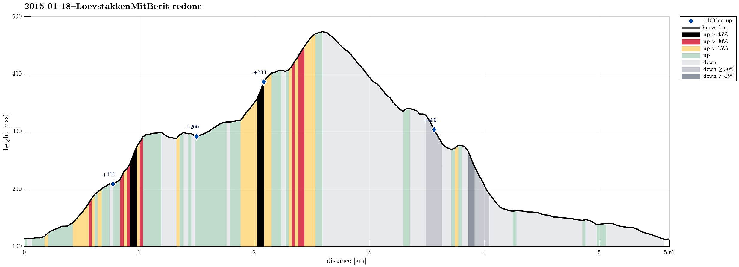
| Tourlänge | 2h 00min |
| Entfernung | 5,6km |
| Höhenmeter | 415m |
| GPS |
|
| Besteigungen | Løvstakken (478m) | 18.01.2015 |
|---|---|---|
| Besuche anderer PBE | Fjellheim (tuft), Løvstakken (286m) | 18.01.2015 |
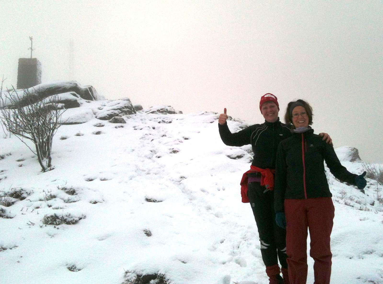
Note that this track has been created a posteriori, i.e., from memory, not automatically recorded.
Trip Summary
Starting from Nils Langhelles vei (its lowest point), we first ascended
primarily eastwards, up to a point on the ridge between Gullsteinen and Løvstakken (relatively near to Gullsteinen, actually). Then, we followed the ridge up to Løvstakken and descended on the other side, taking the possible turns to the left, in order to get down, to Krohnegården, again. From there, it then was only a short walk on the street, back to Nils Langhelles vei. A nice 2h winter hike! :-)
Useful Resources
Web page WestCoastPeaks.com provides useful information about Løvstakken.

Benutzerkommentare