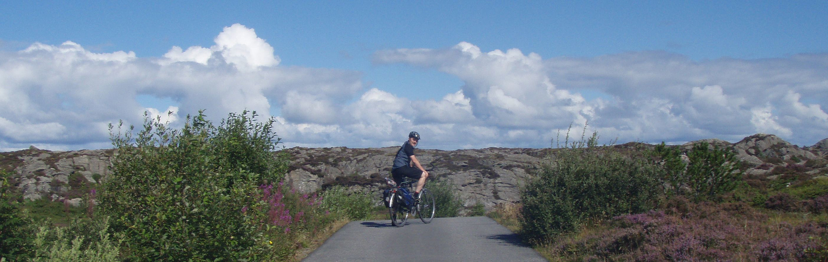
Øygarden cycling with Stefan (09.08.2008)

| Startpunkt | Liatårnet parking (70m) |
|---|---|
| Endpunkt | Liatårnet parking (70m) |
| Tourcharakter | Fahrradtour |
| Tourlänge | 5h 00min |
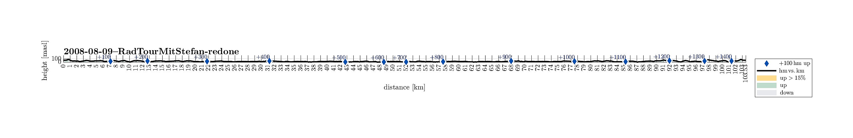
| Entfernung | 103,6km |
| Höhenmeter | 1.455m |
| GPS |
|
| Besteigungen | Sprengneset (38m) | 09.08.2008 |
|---|---|---|
| Besuche anderer PBE | Blomøyvegen p-plass (40m) | 09.08.2008 |
| Fjell kyrkje parkering (8m) | 09.08.2008 | |
| Liatårnet parkering (55m) | 09.08.2008 | |
| Ormhelleren p-plass (14m) | 09.08.2008 |
Note that this track has been created a posteriori, i.e., from memory, not automatically recorded.
Trip Summary
Longer biking trip with my brother -- a nice way to explore Fjell and Øygarden!

Benutzerkommentare