Fedje (12.07.2014)

| Startpunkt | Fedje ferry stop (1m) |
|---|---|
| Endpunkt | Fedje ferry stop (1m) |
| Tourcharakter | Wanderung |
| Tourlänge | 4h 00min |
| Entfernung | 12,7km |
| Höhenmeter | 351m |
| GPS |
|
| Besteigungen | Såta (34m) | 12.07.2014 |
|---|---|---|
| Besuche anderer PBE | Fedjebjørnen stistart (21m) | 12.07.2014 |
| Langedalen (Hesthaugen) (32m) | 12.07.2014 | |
| Søre Vidnappen (27m) | 12.07.2014 |

Note that this track has been created a posteriori, i.e., from memory, not automatically recorded.
Trip Summary
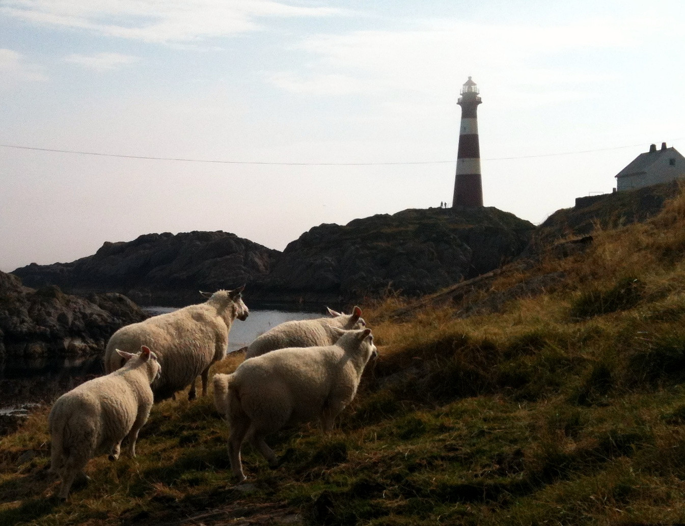
Nice summer hike around Fedje. The historic site (in the northwest of Fedje) is also quite interesting -- telling from hard times, not too long ago...
Photos
Selected photos are available as Google photo album.

Benutzerkommentare