Archive - Date
Archive - Activity
-
Trip by foot (1)
- Hillwalk (1)
Peakbook-Friends


A quick scamper
- Date:
- 31.07.2025
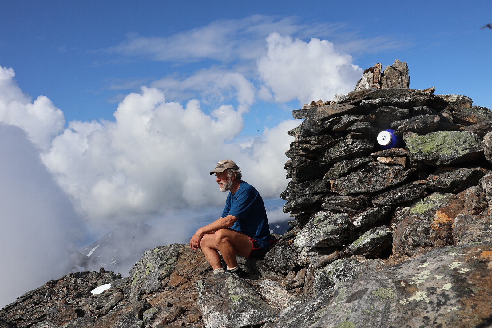
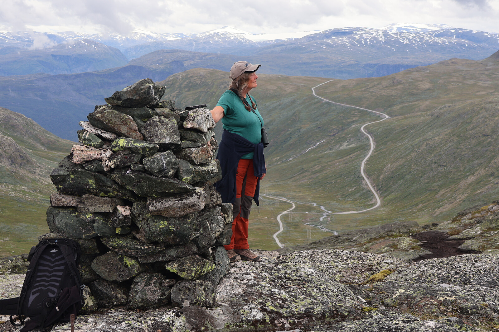 A brief exploration of this rocky hill on reasonable trail all the way. A quick scamper before the rain came on. Judith and Nic Bullivant - our last Norwegian peak of 2025.
An evening walk
- Date:
- 17.07.2025
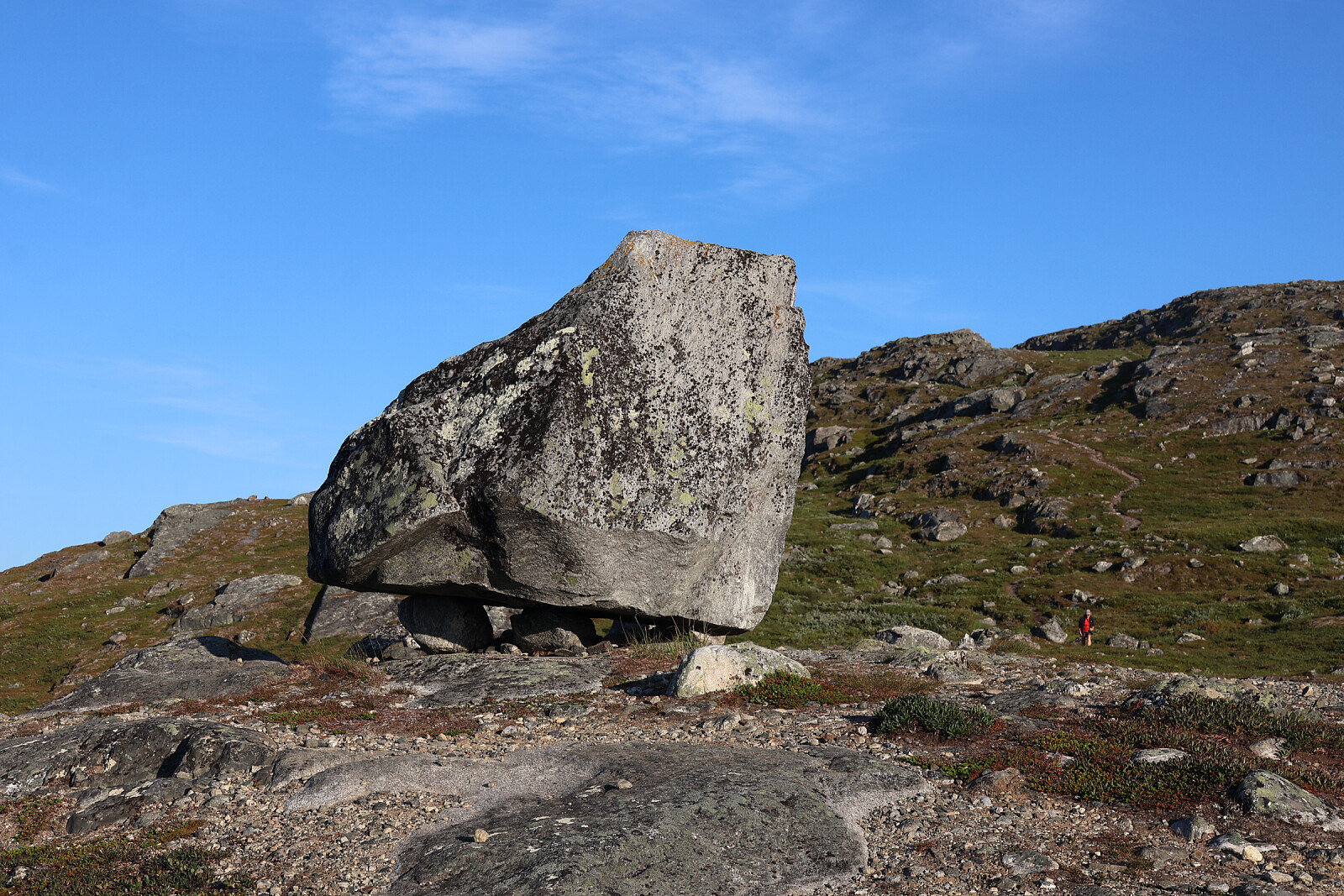 A pleasant evening's walk from parking by the E8 at Finland's highest road. Eroded paths but fairly dry. Good views on this part of Northern Finland.
A long rocky trip to Finland's highest point
- Date:
- 15.07.2025
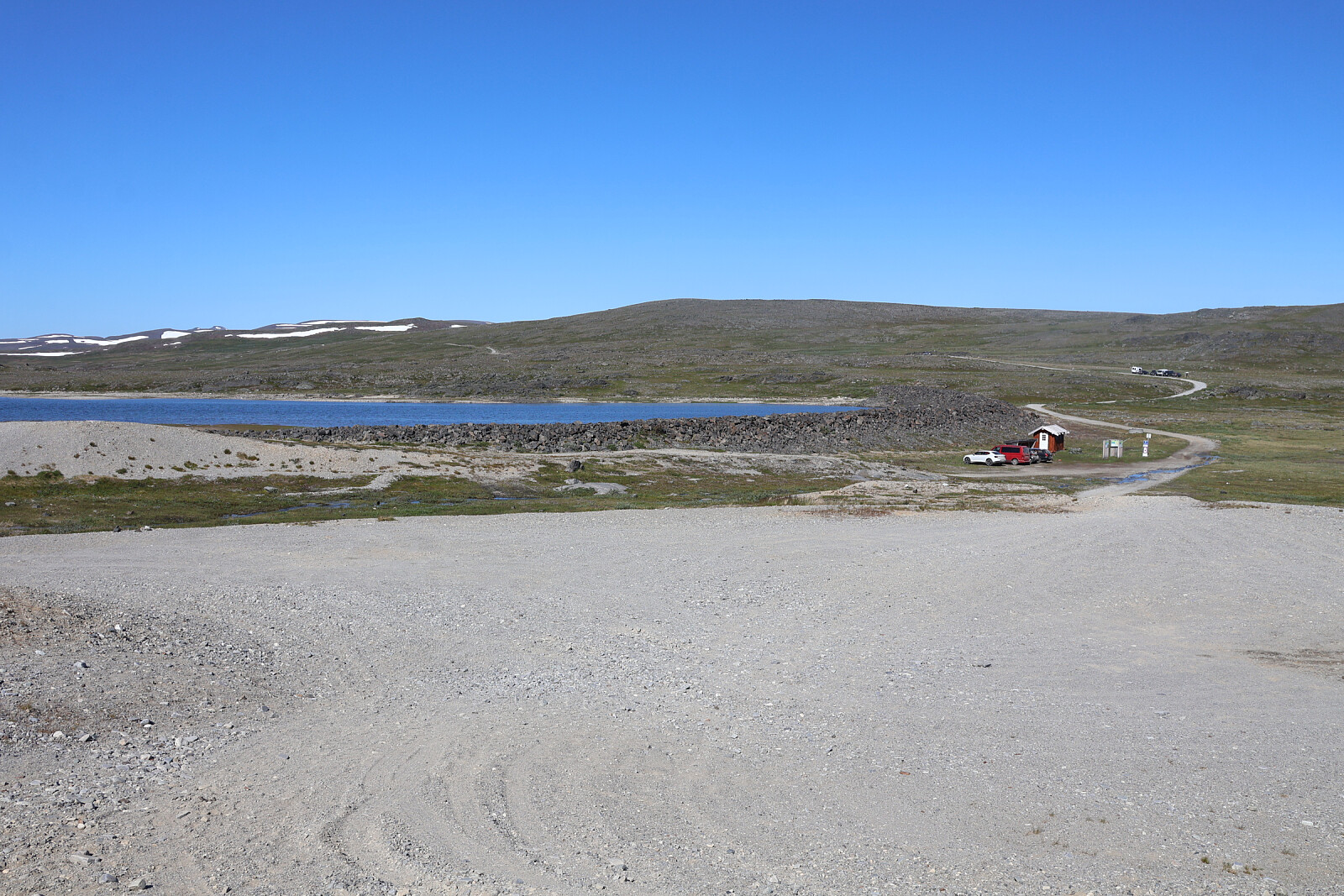 The highest point in Finland is 100m from the top of the mountain known as Haldi. The international boundary just slices across the top of the hill. 2km away there is a higher mountain, Raisduottarhaldi, entirely in Norway.
From high level lake Guolášjáavri (752m) at end of long (25km, toll) gravel road from Kafjord. Defined trail at first, up slopes but soon becoming a route entirely on loose blocks over plateau 6km to Hàldi summit and similar distance back over Raisduottarhàldi. A very long walk in warm sunshine. Some snow patches. One let us down and we sank through to the rocks below. Generally very poorly waymarked, just a sketchy line of cairns. The only respite from the boulders, which were canted at all angles, large and small, was the finer mud and gravel forced up by the permafrost, >>>
The highest point in Finland is 100m from the top of the mountain known as Haldi. The international boundary just slices across the top of the hill. 2km away there is a higher mountain, Raisduottarhaldi, entirely in Norway.
From high level lake Guolášjáavri (752m) at end of long (25km, toll) gravel road from Kafjord. Defined trail at first, up slopes but soon becoming a route entirely on loose blocks over plateau 6km to Hàldi summit and similar distance back over Raisduottarhàldi. A very long walk in warm sunshine. Some snow patches. One let us down and we sank through to the rocks below. Generally very poorly waymarked, just a sketchy line of cairns. The only respite from the boulders, which were canted at all angles, large and small, was the finer mud and gravel forced up by the permafrost, >>>
Proving that peaks no-one talks about can be climbed
- Date:
- 09.07.2025
 From parking at S end of Sifjordskarettunnelen (186m) by narrow wooded trail emerging to heath, waymarked as far as Norddalsvatnet. Steep turf-covered slope on occasional paths to Husfjellet 515m. After some deliberation decided to try the obvious ridge leading to Askjelfjellet. Rounded some gendarme pinnacles easily on S side and reached summit. Very faint path in places. Very pleased. We had no fore-knowledge or guide, no waymarks or anyone else to follow. Returned to Husfjellet and down the same way.
If we had given ourselves more time, Lendepolltindan would have been tempting too.
From parking at S end of Sifjordskarettunnelen (186m) by narrow wooded trail emerging to heath, waymarked as far as Norddalsvatnet. Steep turf-covered slope on occasional paths to Husfjellet 515m. After some deliberation decided to try the obvious ridge leading to Askjelfjellet. Rounded some gendarme pinnacles easily on S side and reached summit. Very faint path in places. Very pleased. We had no fore-knowledge or guide, no waymarks or anyone else to follow. Returned to Husfjellet and down the same way.
If we had given ourselves more time, Lendepolltindan would have been tempting too.
Cloud clearing ahead of me on Langlitinden
- Date:
- 07.07.2025
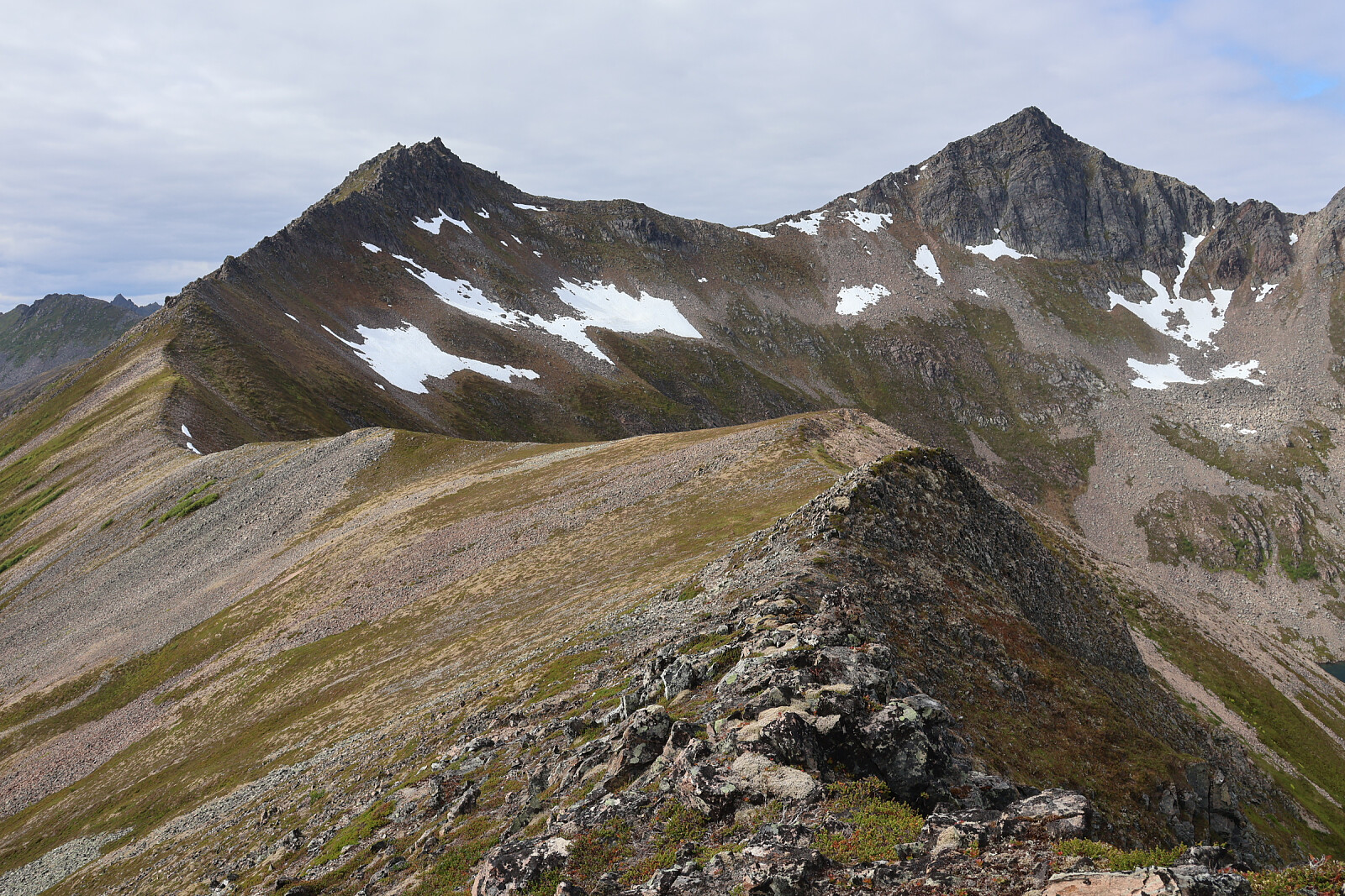
 From Straumsbotn by narrow waymarked trail hrough the woods to a junction (pole). Judith continued to Juliusvatnet. I continued on her route too far and had to traverse across the slope to my route. Continued as small trail with red paintmarks to Innerholvatnet (frozen), then up rocky ridge. Numerous small scrambling steps. Snow fields up side of ridge to a col overlooking a corrie falling the other side. In mist for a while up snow patches. Lost any semblance of a trail and scrambled up rough rock to summit ridge (right of summit) above 1200m. Threaded my way along a very narrow ridge and crossed a snow patch. Scrambled to 1276m summit. Descended more directly, some paintmarks, back to high snow patches, then reversed ascent route down scramble steps to lake and across top of wooded slope >>>
Dronningsruta on Langoya
- Date:
- 04.07.2025
From near Nyksund up steeply to Forste-Nyksundvatnet. Narrow but eroded and waymarked trails round side of Mælen and narrow ridge (birch-clad). Down steeply to coast at Ner-Langvaddalsvatnet. Rough waymarked trail along coast and round Valaksla to Stø. Ascent by eroded and waymarked trail to col Kallskaret on Valaksla where the road access to a 'golf-ball' military installation emerged from a tunnel. Ridgewalk over Nonstinden, Gjuraheia, Kjølen and several other small humps about 400m then detour to Sørkulen 518m and back to path traversing round side. Descent to narrow birch-clad ridge by adventurous rocky trail, in places provided with chains (which got in the way). Down to Forste-Nyksundvatnet and road. A real workout.

