Archive - Date
Archive - Activity
-
Other trip (2)
- Expedition (2)
-
Other winter trip (4)
- Snowshoe trip (4)
- Ski trip (2)
- Trip by foot (220)


Favourite trips
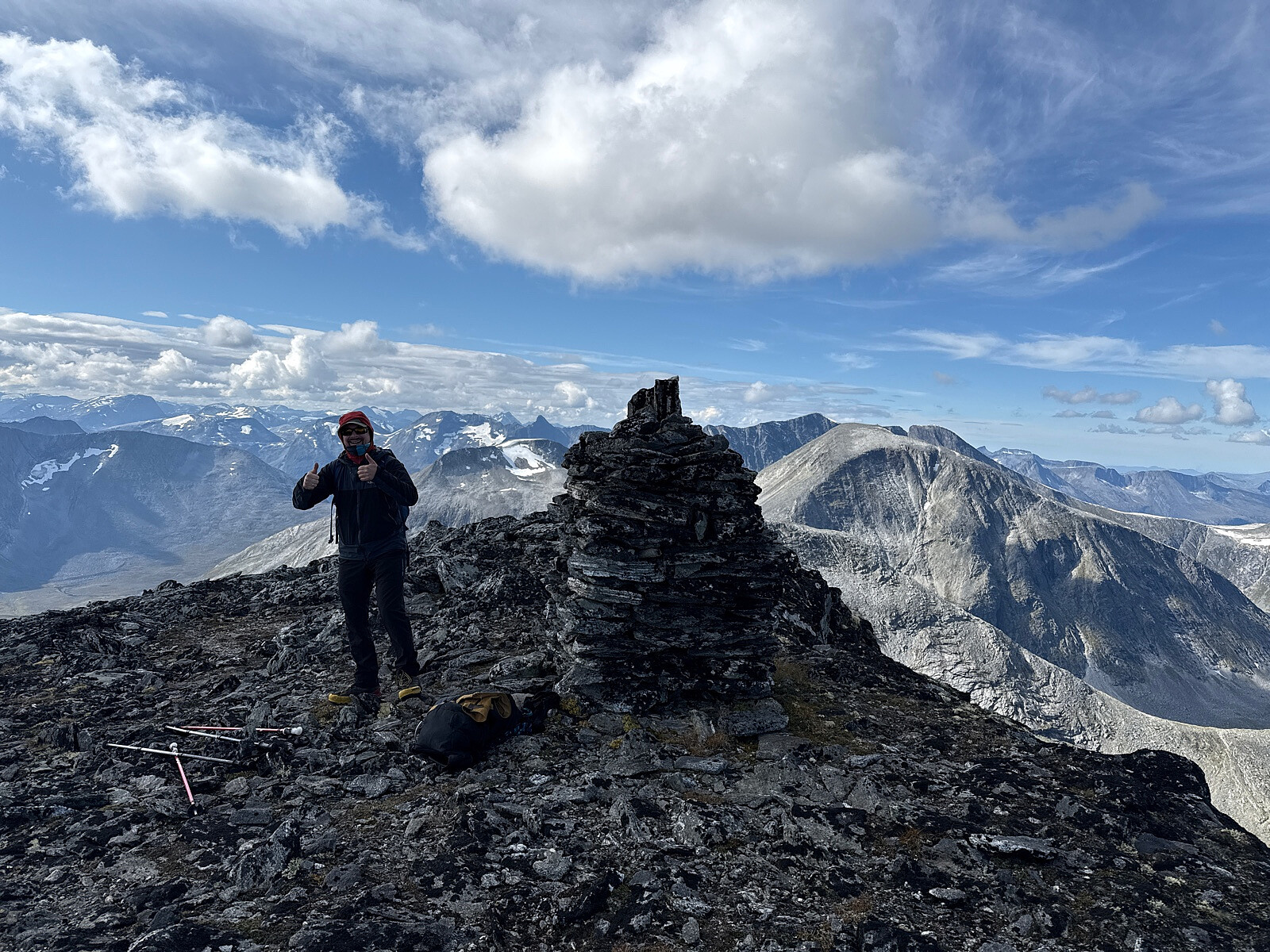


Okla - Storhornet
- Date:
- 02.08.2024
- Characteristic:
- Hillwalk
- Distance:
- 26.4km
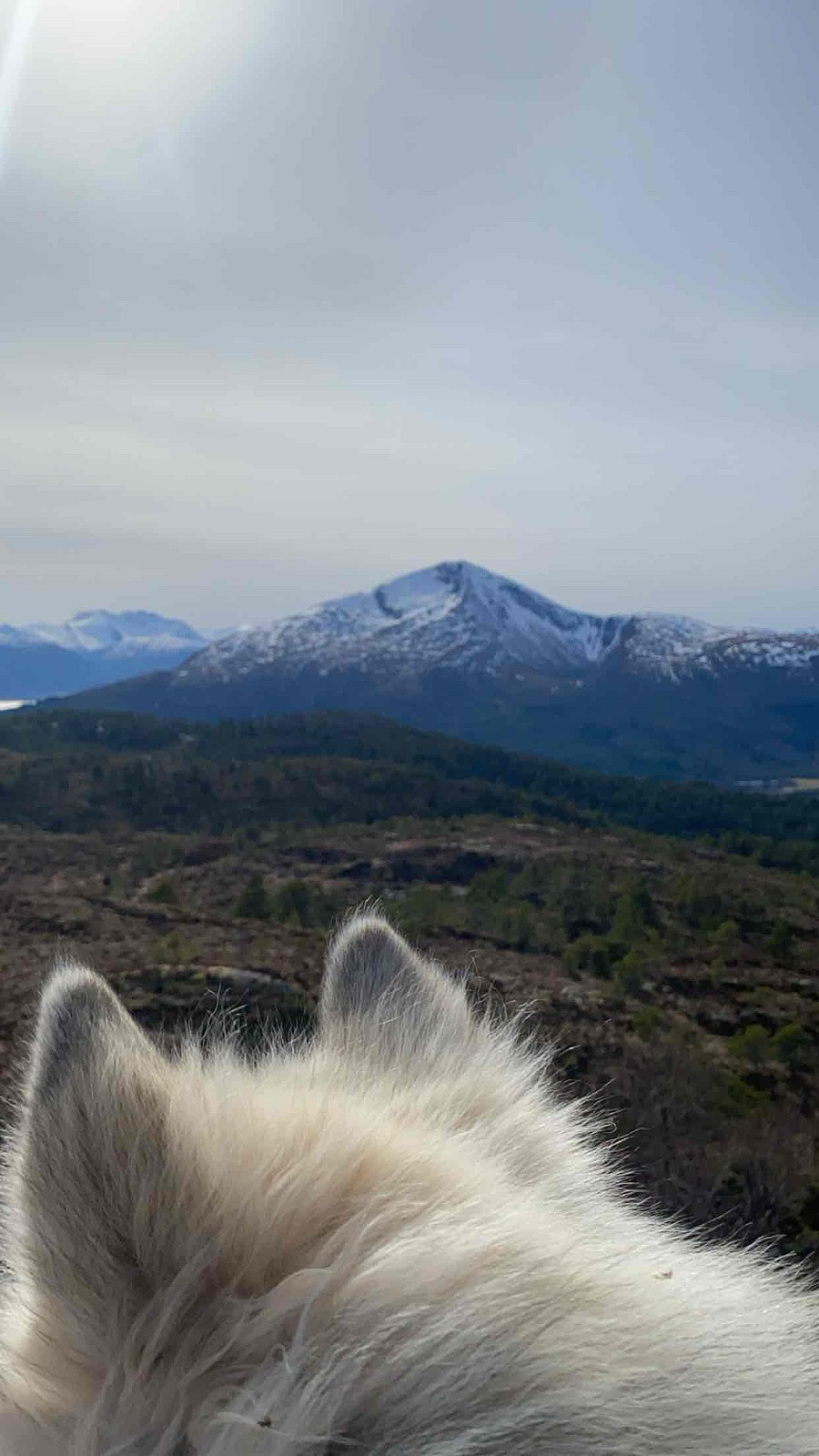
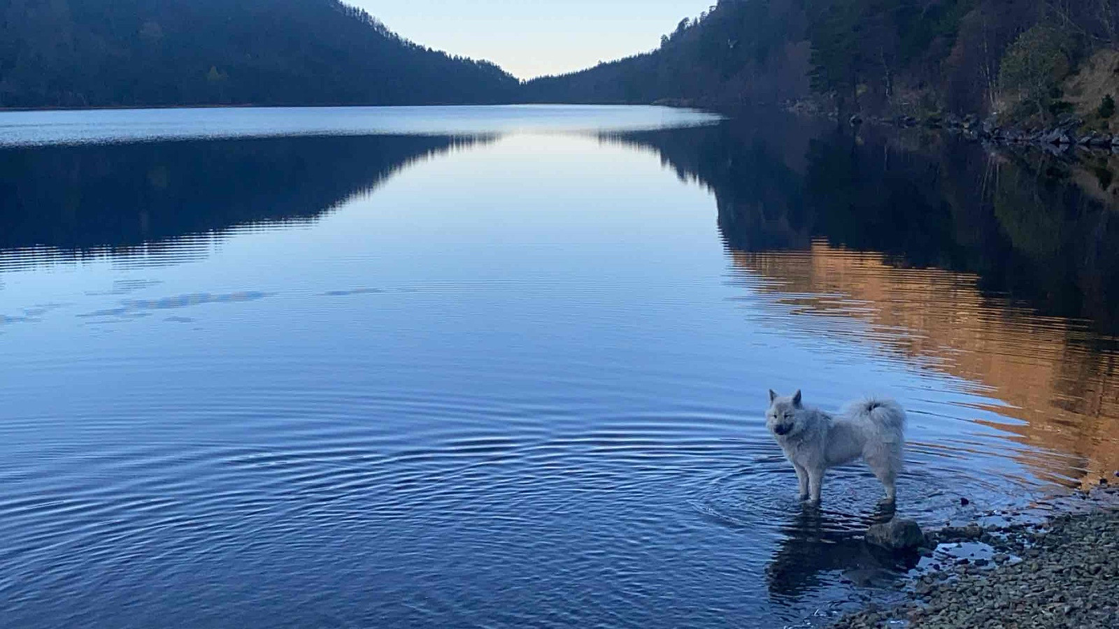
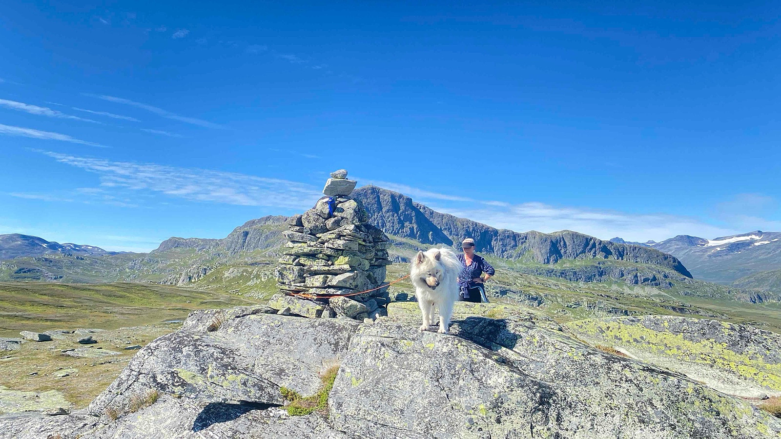
 Solid 12-timerstur hvor eneste topper denne gang skulle være Okla og Storhornet. Var litt utfordrene å ikke titte innom andre flagg på veien.
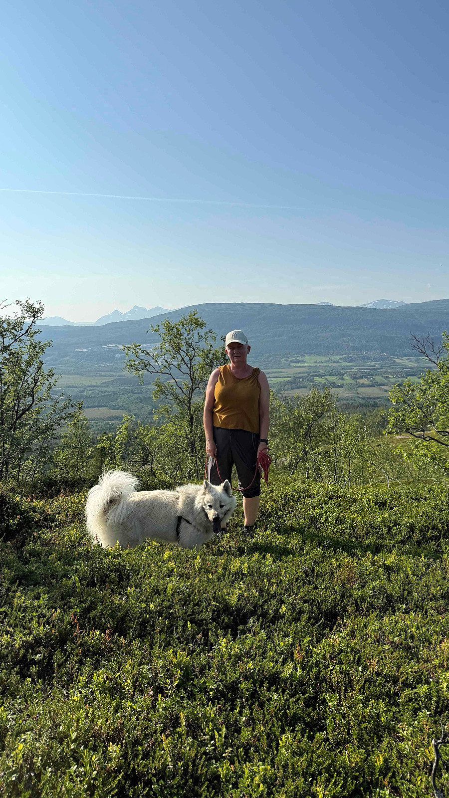
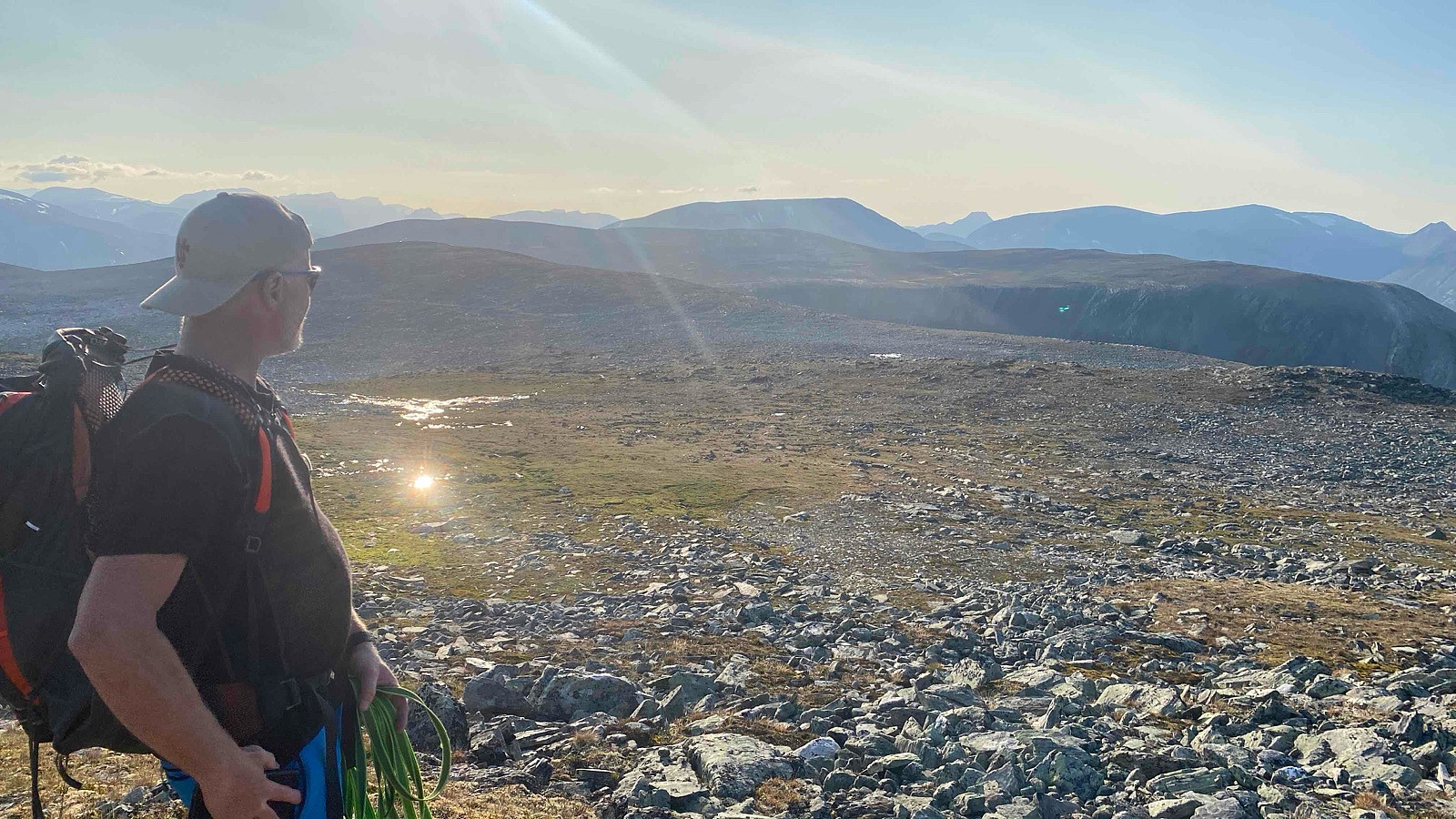
Fantastisk vær sammen med rett mann og rette hunder.
Solid 12-timerstur hvor eneste topper denne gang skulle være Okla og Storhornet. Var litt utfordrene å ikke titte innom andre flagg på veien.
Fantastisk vær sammen med rett mann og rette hunder.