
Torc Mountain (09.08.2018)

| Startsted | Torc Waterfall car park (53moh) |
|---|---|
| Sluttsted | Cill Airne [Killarney] (18moh) |
| Turtype | Fjelltur |
| Turlengde | 4t 07min |
| Distanse | 18,9km |
| Høydemeter | 698m |
| GPS |
|
| Bestigninger | Torc Mountain (535moh) | 09.08.2018 |
|---|---|---|
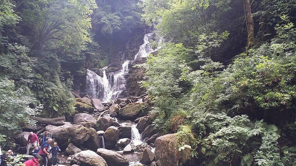
| Andre besøkte PBE'er | Torc Waterfall (100moh) | 09.08.2018 |
| Torc Waterfall car park (50moh) | 09.08.2018 | |
| Torc upper car park (141moh) | 09.08.2018 |
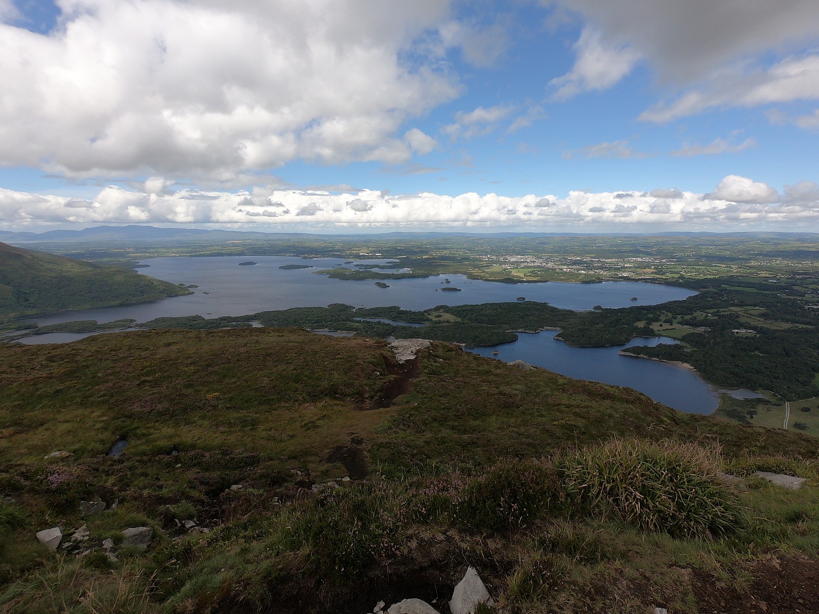
Took the shuttle bus from Cill Airne (Killarney) to Torc Waterfall car park. Started walking along the blue trail towards and past Torc Waterfall to the upper car park. Left the blue trail at a T intersection and followed the path of the Kerry Way up until the sign indicating the ascent to Torc Mountain. The path up to the top was mostly made up of wooden planks and stone steps. Nice view of Cill Airne on the other side of Muckross Lake and Lough Leane. Took a break to eat and drink.
Took the same way down until I reached the T intersection close to the upper car park. This time I followed the blue path along the other part of the loop back to the lower car park. As I realised that the next bus to Cill Airne would not depart for over an hour, I started walking the path along Muckross Lake and thereafter Lough Leane. Passed by Muckross Abbey and eventually followed the car road back to Cill Airne town centre.


Kommentarer