Arkiv - dato
Arkiv - aktivitet
-
Annen tur (2)
- Kajakkpadling (2)
- Fottur (1490)
-
Kjøretur (6)
- Biltur (6)
-
Skitur (98)
- Fjellskitur (59)
- Langrennstur (39)
-
Sykkeltur (98)
- Blandet sykling (23)
- Gatesykling (75)
Lister jeg samler etter
-
Utvalgte topper og turmål i Bergen
(301/306)
 98%
98% -
Øytopper Hordaland
(26/27)
96%
-
Alle topper i Bergen
(335/350)
95%
-
Vaksdal ≥ 100m pf.
(59/63)
93%
-
Nordhordland PF >= 100m
(205/221)
92%
-
Søyler (fastmerker) i Bergen
(91/100)
91%
-
Masfjorden ≥ 100m pf.
(49/55)
89%
-
Fitjar ≥ 100m pf.
(6/7)
85%
-
Opptur Hordaland
(133/159)
83%
-
Modalen ≥ 100m pf.
(23/30)
76%
-
Hordaland ≥ 500m pf.
(23/30)
76%
-
Kvam ≥ 100m pf.
(32/44)
72%
-
Stasjoner på Bergensbanen
(26/36)
72%
-
Voss ≥ 100m pf.
(67/97)
69%
-
Hordaland ≥ 100m pf.
(508/862)
58%
-
Dagsturhyttene i Vestland
(31/60)
51%
-
Sunnhordland PF >= 100m
(82/186)
44%
-
DNT-hytter i Hordaland
(18/45)
40%
-
Kvinnherad ≥ 100m pf.
(26/79)
32%
-
Hordaland: Hardanger PF>=100m
(116/357)
32%

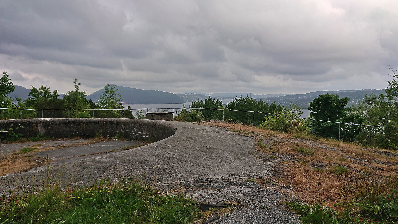
Ravneberget søyle
- Dato:
- 30.06.2023
- Turtype:
- Spasertur
- Turlengde:
- 0:25t
- Distanse:
- 1,8km
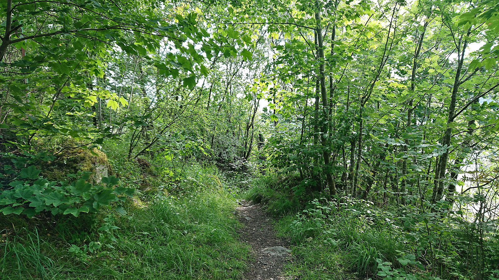 Short walk to visit the trig marker at Ravneberget before heading home from work. Easy access via trails.
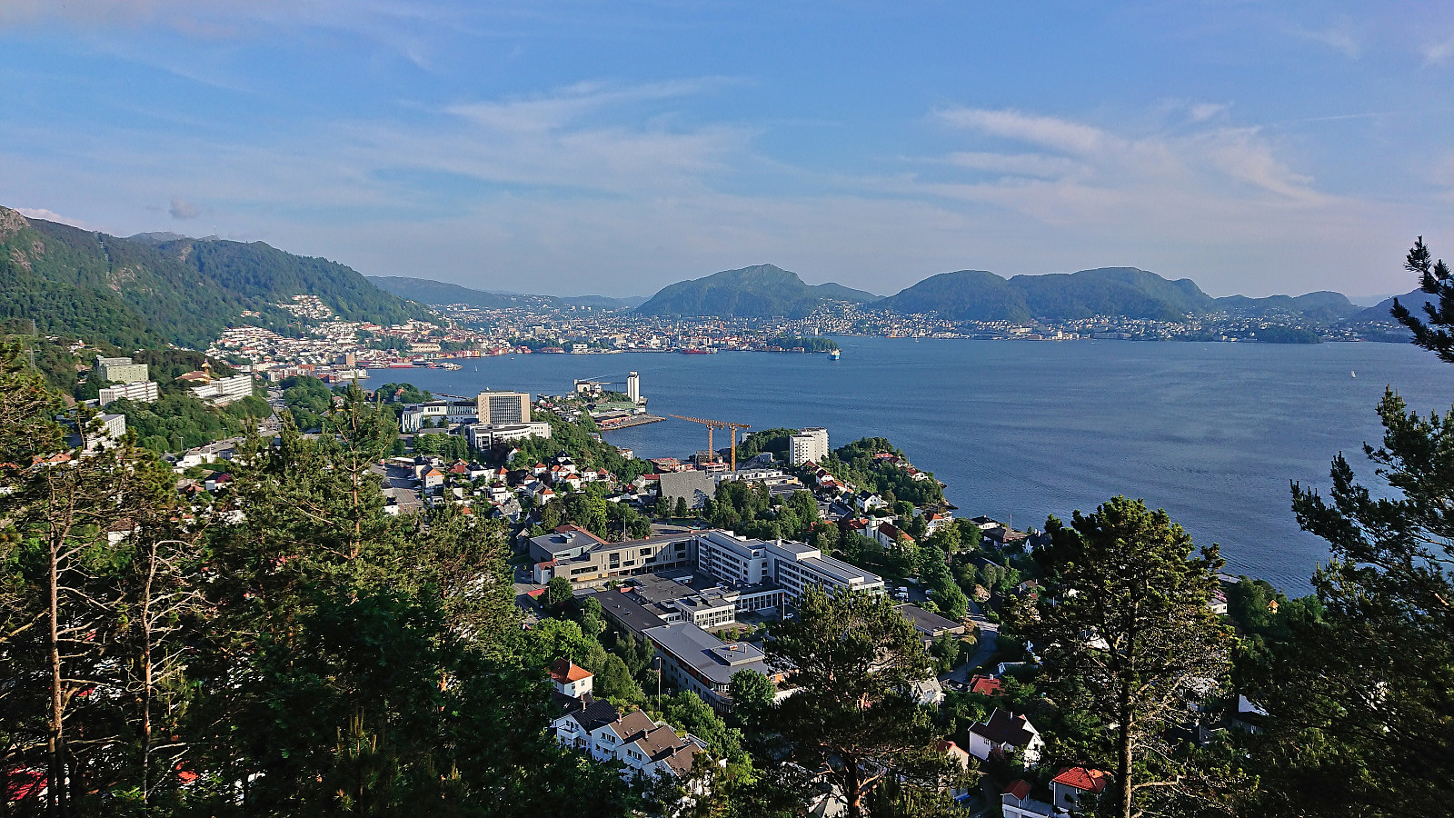
Haukeland sykehus to Lønborg
- Dato:
- 27.06.2023
- Turtype:
- Fottur
- Turlengde:
- 3:58t
- Distanse:
- 15,4km
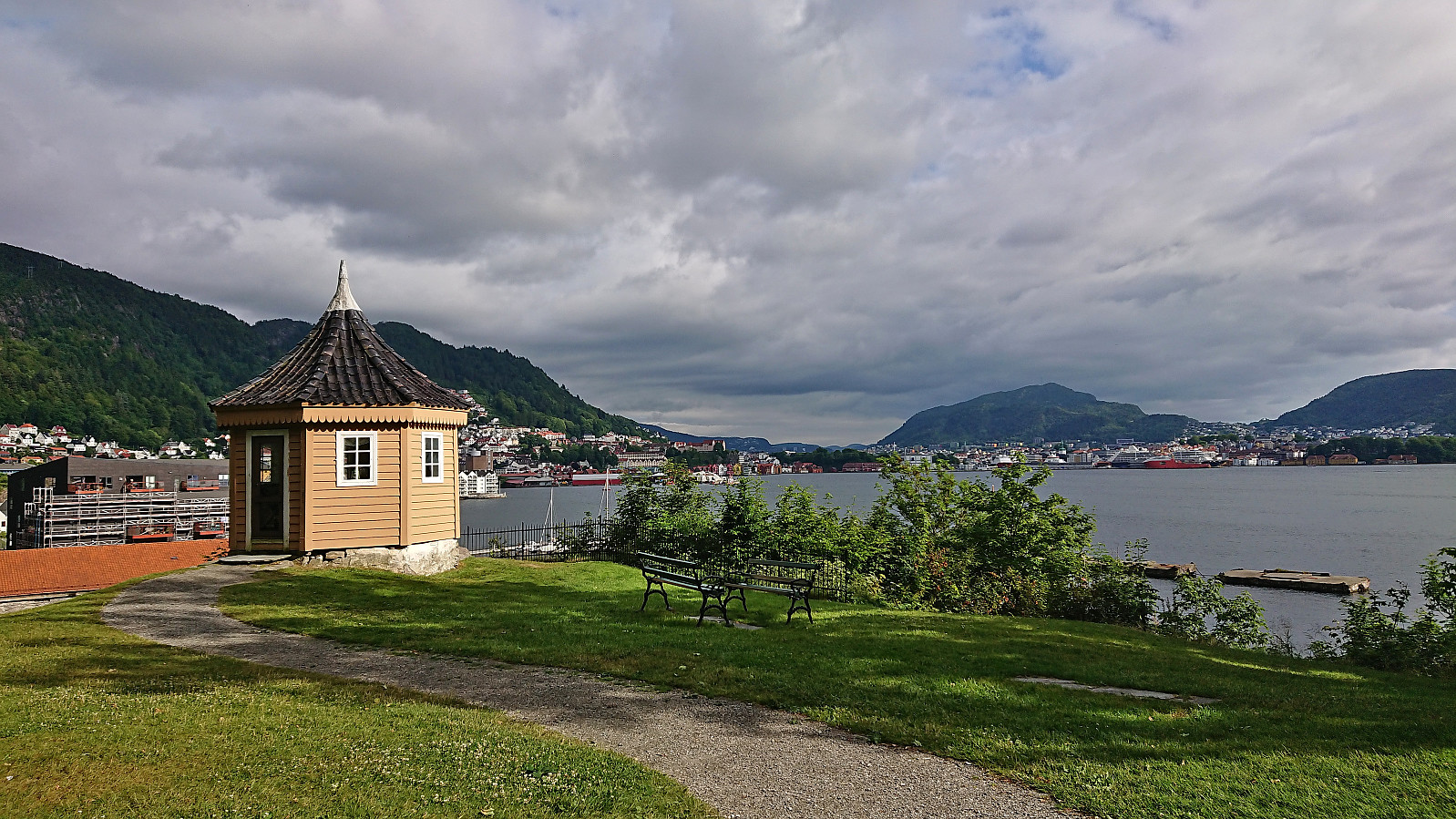 A walk home from work (most of it) with a colleague. The slightly odd route can be explained by my colleague taking part in Stolpejakten . :)
Storfjellet, NØ av Storfjellet and Smørstakken
- Dato:
- 25.06.2023
- Turtype:
- Fjelltur
- Turlengde:
- 9:01t
- Distanse:
- 22,2km
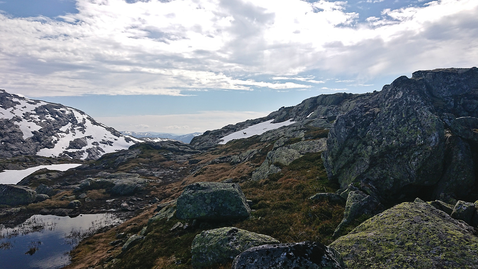 After an approximately 1.5 hour drive from Bergen, we parked at Steinavatnet p-plass where Fjellsamleren (Endre Myrdal Olsen) started west to Nåmdalsfjellet (a peak I had already visited on skis earlier this year ) while I began the ascent east to Storfjellet .
I first headed north to cross the bridge over Oselvi, before shortly descending southeast to the marked trailhead for Storfjellet and the viewpoint Oksla. The trail was marked with blue paint but not always the easiest to follow, especially as it did not always follow the trail indicated on the map. Shortly after leaving Oksla I lost the trail and after that I only managed to locate the occasional small cairn, even when being right on top of where the trail ought to be according to the map.
As I was approaching the only really steep part of the ascent I was therefore on my own and decided to stick to where the trail was indicated on the map. This >>>
After an approximately 1.5 hour drive from Bergen, we parked at Steinavatnet p-plass where Fjellsamleren (Endre Myrdal Olsen) started west to Nåmdalsfjellet (a peak I had already visited on skis earlier this year ) while I began the ascent east to Storfjellet .
I first headed north to cross the bridge over Oselvi, before shortly descending southeast to the marked trailhead for Storfjellet and the viewpoint Oksla. The trail was marked with blue paint but not always the easiest to follow, especially as it did not always follow the trail indicated on the map. Shortly after leaving Oksla I lost the trail and after that I only managed to locate the occasional small cairn, even when being right on top of where the trail ought to be according to the map.
As I was approaching the only really steep part of the ascent I was therefore on my own and decided to stick to where the trail was indicated on the map. This >>>
Manfjellet and Kjetilsnuten
- Dato:
- 24.06.2023
- Turtype:
- Fjelltur
- Turlengde:
- 8:49t
- Distanse:
- 19,7km
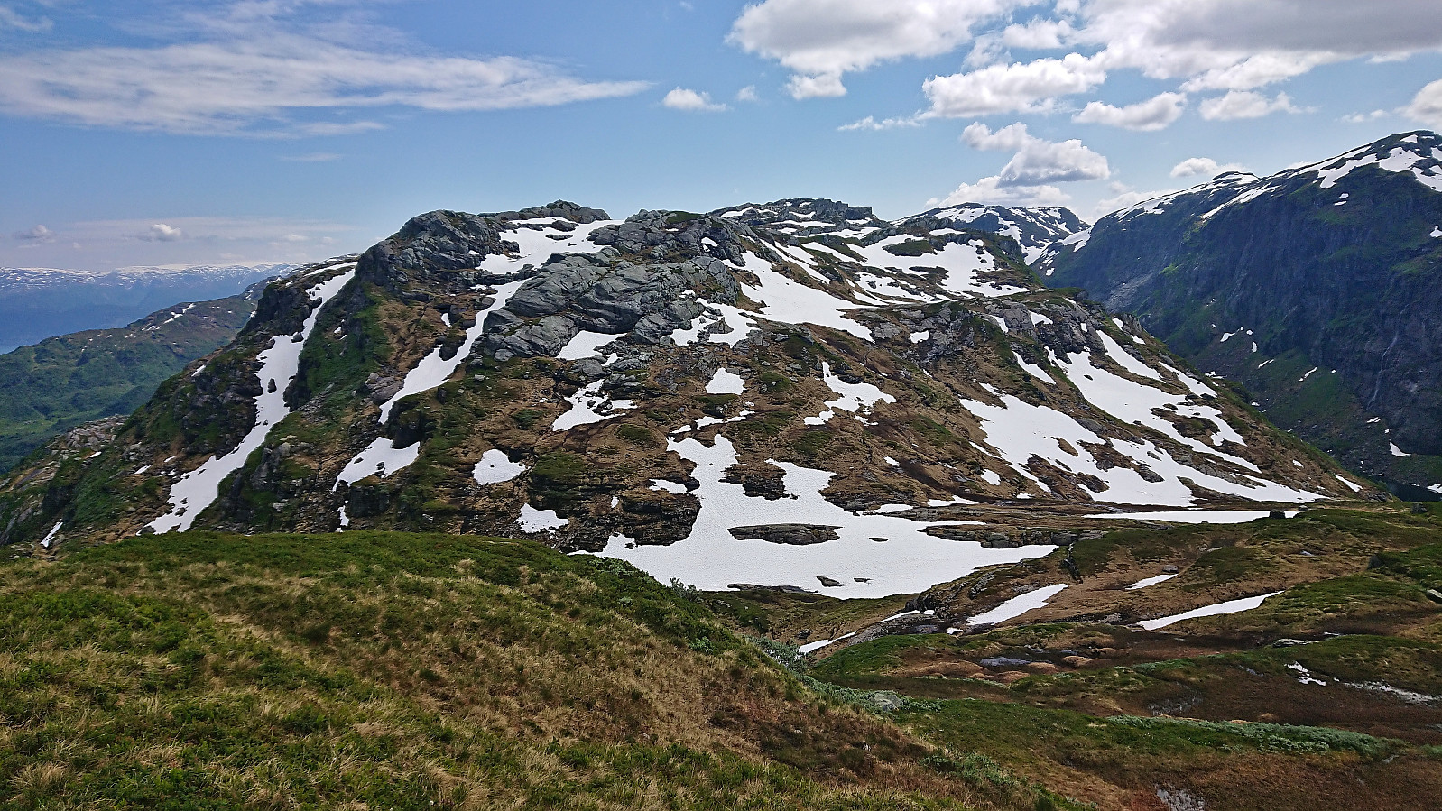 A return to Fitjadalen to visit the two summits me and Fjellsamleren (Endre Myrdal Olsen) had to skip during our last visit due to there simply being too much snow. Once more we parked at Fitjadalen p-plass , but instead of starting north on the trail to Skrott and Breidablikk we returned around 400 meters southeast along the road and from there followed the marked trail to Laupsaflyane . The trail was a bit weak at times, and the trail markers not the most consistent, but overall this initial ascent was straightforward.
At Laupsaflyane the trail disappeared so we headed off-trail towards the southeast in order to connect with the trail to Manfjellet from this trip suggestion at ut.no . At first we struggled to locate the mentioned trail, especially as it was not indicated on the map, however we soon spotted the first red/pink trail markers that would lead us all the way to the summit. We did lose the markers once or twice, but never had >>>
A return to Fitjadalen to visit the two summits me and Fjellsamleren (Endre Myrdal Olsen) had to skip during our last visit due to there simply being too much snow. Once more we parked at Fitjadalen p-plass , but instead of starting north on the trail to Skrott and Breidablikk we returned around 400 meters southeast along the road and from there followed the marked trail to Laupsaflyane . The trail was a bit weak at times, and the trail markers not the most consistent, but overall this initial ascent was straightforward.
At Laupsaflyane the trail disappeared so we headed off-trail towards the southeast in order to connect with the trail to Manfjellet from this trip suggestion at ut.no . At first we struggled to locate the mentioned trail, especially as it was not indicated on the map, however we soon spotted the first red/pink trail markers that would lead us all the way to the summit. We did lose the markers once or twice, but never had >>>
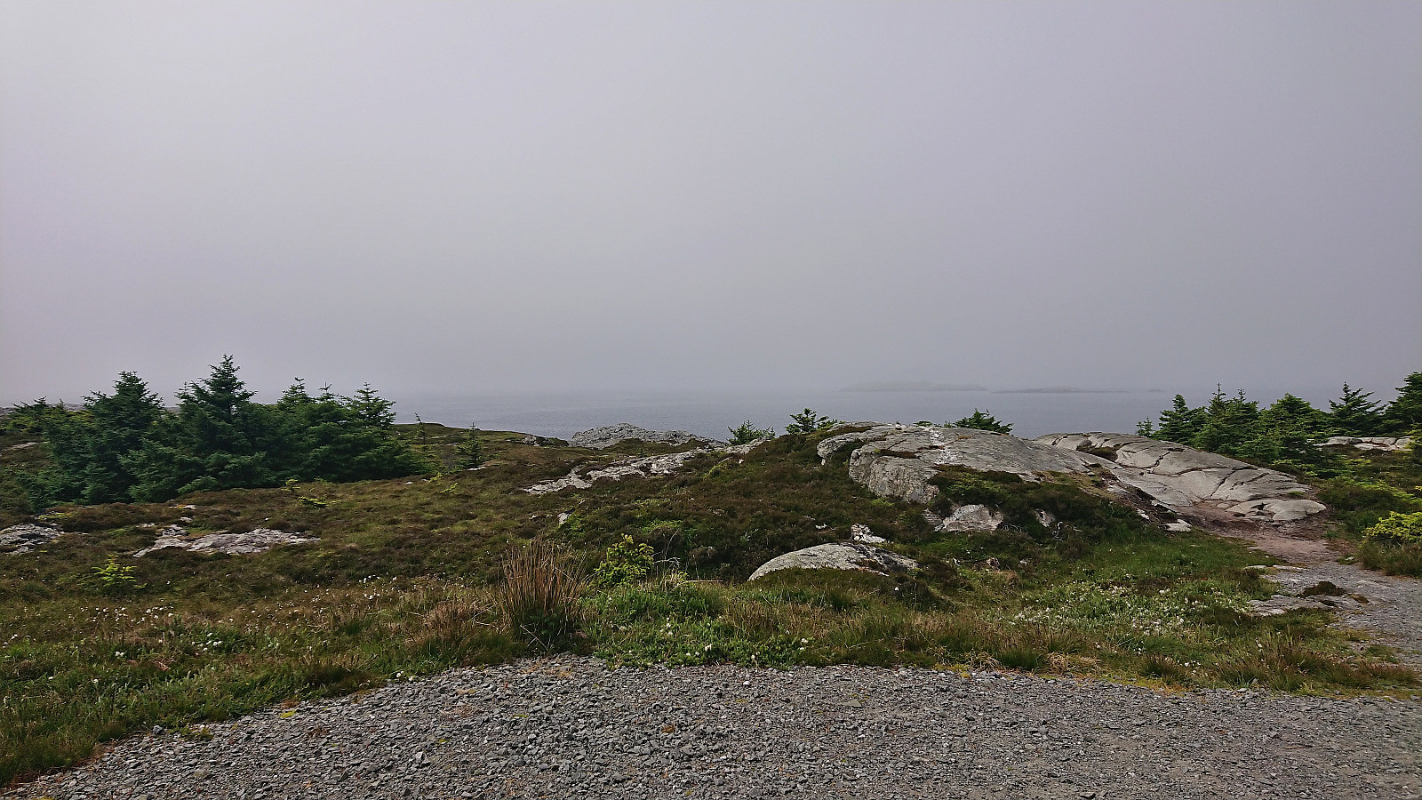
Ørneberget and Furukammen
- Dato:
- 23.06.2023
- Turtype:
- Fjelltur
- Turlengde:
- 0:54t
- Distanse:
- 4,1km
 Short local evening hike.
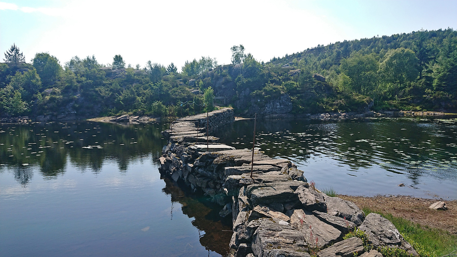
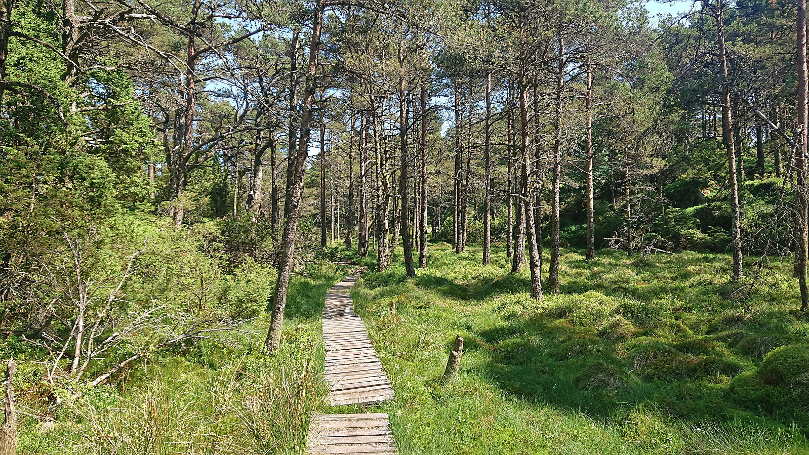
Hellen festning and Furukammen
- Dato:
- 22.06.2023
- Turtype:
- Fottur
- Turlengde:
- 1:40t
- Distanse:
- 5,0km
 Short local evening hike (mostly) in between the rain showers.
Fjell kyrkje to Kolltveit via Bekkebruna
- Dato:
- 18.06.2023
- Turtype:
- Fjelltur
- Turlengde:
- 2:02t
- Distanse:
- 5,1km
 With a weather forecast of possible afternoon rain showers (including lightning), I changed my more ambitious plans and instead hopped on a bus to Fjell. Here I got off at Fjell kyrkje and followed the so-called church road north. The start of this road, or more correctly trail, was marked from the church, however the actual trailhead can be easily missed.
The trail markers for some reason also tried to send me southwest early on, but I ignored them and continued north, passing by several small lakes. I also ignored the first sign for Kolltveit as I had plans to first include a visit of Øst for Kyrkjenibben (previously just called Kyrkjenibben, but this is clearly a point further west and not the summit itself).
At the second sign for Kolltveit, I left the main trail and followed a much weaker trail northeast. The >>>
With a weather forecast of possible afternoon rain showers (including lightning), I changed my more ambitious plans and instead hopped on a bus to Fjell. Here I got off at Fjell kyrkje and followed the so-called church road north. The start of this road, or more correctly trail, was marked from the church, however the actual trailhead can be easily missed.
The trail markers for some reason also tried to send me southwest early on, but I ignored them and continued north, passing by several small lakes. I also ignored the first sign for Kolltveit as I had plans to first include a visit of Øst for Kyrkjenibben (previously just called Kyrkjenibben, but this is clearly a point further west and not the summit itself).
At the second sign for Kolltveit, I left the main trail and followed a much weaker trail northeast. The >>>
Cycling: Lagunen to Lønborg
- Dato:
- 17.06.2023
- Turtype:
- Gatesykling
- Turlengde:
- 1:21t
- Distanse:
- 20,7km
 After the cycling trip at Austevoll , and the short bus ride from Krokeide to Lagunen, I cycled home to Lønborg via the standard cycling routes.
Loddo and Adlesi
- Dato:
- 17.06.2023
- Turtype:
- Fjelltur
- Turlengde:
- 0:46t
- Distanse:
- 2,4km
 After leaving my bike when the trail forked for the final time south of the summit , I continued the rest of the way on foot, making sure to include a minor detour for a short visit of Adlesi . At the summit I climbed the wooden lookout tower to obtain better views before returning via the orange trail back to my bike and continuing my exploration of Austevoll .
Cycling at Austevoll
- Dato:
- 17.06.2023
- Turtype:
- Gatesykling
- Turlengde:
- 5:15t
- Distanse:
- 53,2km
 A return to Austevoll to visit Adlesi . Once again I took the high-speed passenger ferry from Strandkaien, but this time bringing my bike and getting off at Hufthammar. From there I cycled south to the western trailhead for Loddo .
I stayed on separate cycling/walking paths until leaving road 546 at the roundabout south of Storebø. After that I had to share the road with slightly more traffic than I had hoped for. I left the bike behind at the final fork in the trail up to Loddo and continued on foot to the summit . Back at the bike, I benefitted from having cycled up to around 100 meters above sea level and thus quickly descended to the main road.
With the main goal of the day out of the way, I decided to explore more of Austevoll and headed northwest to Storakalsøy and Kalve, enjoying excellent views along the way. No cycling/walking paths after crossing >>>
A return to Austevoll to visit Adlesi . Once again I took the high-speed passenger ferry from Strandkaien, but this time bringing my bike and getting off at Hufthammar. From there I cycled south to the western trailhead for Loddo .
I stayed on separate cycling/walking paths until leaving road 546 at the roundabout south of Storebø. After that I had to share the road with slightly more traffic than I had hoped for. I left the bike behind at the final fork in the trail up to Loddo and continued on foot to the summit . Back at the bike, I benefitted from having cycled up to around 100 meters above sea level and thus quickly descended to the main road.
With the main goal of the day out of the way, I decided to explore more of Austevoll and headed northwest to Storakalsøy and Kalve, enjoying excellent views along the way. No cycling/walking paths after crossing >>>
