Arkiv - dato
Arkiv - aktivitet
-
Annen tur (1)
- Kajakkpadling (1)
-
Annen vintertur (3)
- Trugetur (3)
- Fottur (615)
-
Skitur (3)
- Fjellskitur (3)
-
Sykkeltur (94)
- Blandet sykling (22)
- Gatesykling (2)
Arkiv - Etter geografi
"Peakbookvenner"


Lister jeg samler etter
-
Bergen ≥ 50m pf. og ≥ 100 m.o.h.
(81/89)
 91%
91% -
Opptur Bergen
(98/113)
86%
-
De syv fjell rundt Bergen
(6/7)
85%
-
Most dominating tops of the Bergen peninsula
(63/75)
84%
-
Utvalgte topper og turmål i Bergen
(244/306)
79%
-
Sund ≥ 50m pf.
(14/18)
77%
-
Alle topper i Bergen
(272/350)
77%
-
Os ≥ 50m pf.
(23/34)
67%
-
Hytter og objekter i Byfjellene
(66/101)
65%
-
Midthordland PF>= 100m
(73/115)
63%

From Stovegolvet to Sagvåg on Stord
- Dato:
- 11.05.2024
- Turtype:
- Fottur
- Turlengde:
- 5:00t
- Distanse:
- 13,2km
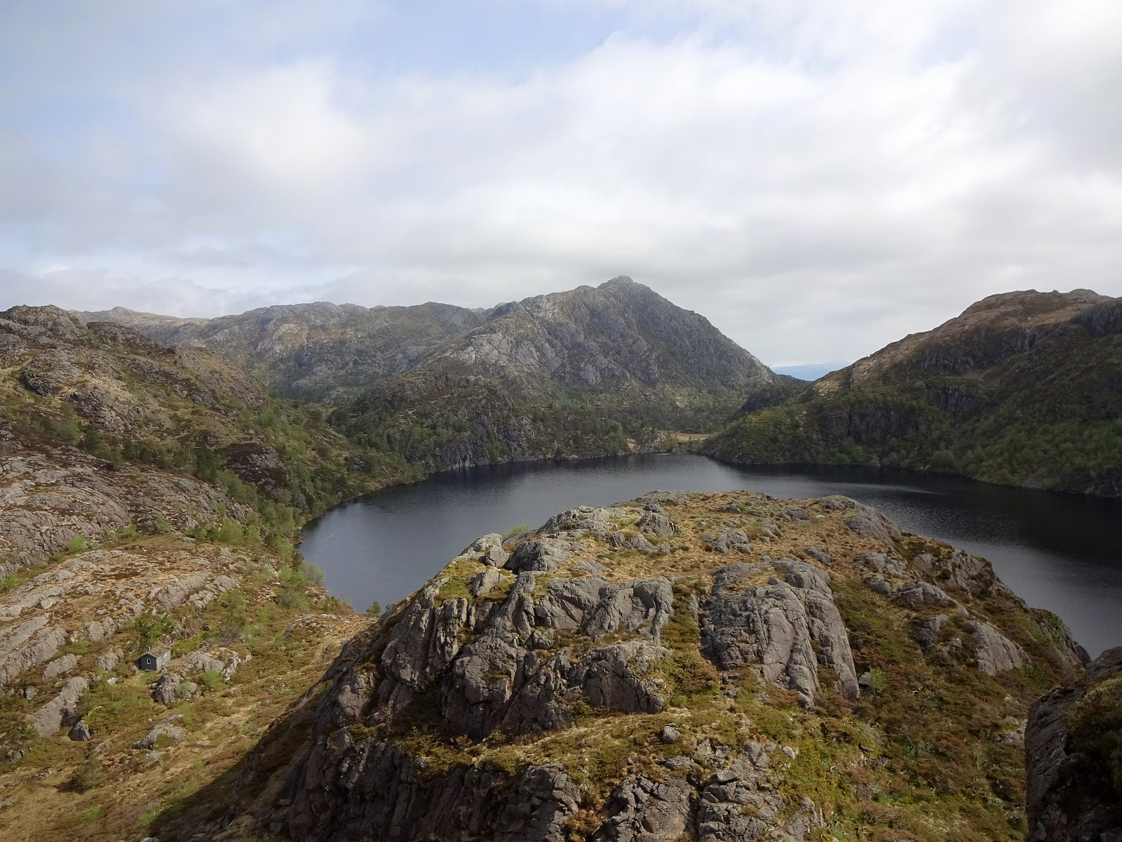 As part 2 of a two-days hike across Stord, we started from Stovegolvet, where we had stayed over night. We first descended (steeply) towards Tysevatnet, following a nice trail down from Stovegolvet. Instead of walking around Eldhushøgda, as prepared for by the trails, we crossed over this little hill, enjoying some nice views from above. Even though a bit steep on its southwestern side, descending back down to the trail was still no issue. We then followed the trail, which leads (also across the one or other dam) along Tysevatnet in its south, to get to the other side and, eventually, further southwards to Ravatnet, crossing over a little saddle in the west of Ramnaskolten. After walking between Ravasslia (in the northwest) and Ravatnet (in the southeast), we arrived at another small saddle >>>
From Vistvik to Stovegolvet on Stord
- Dato:
- 10.05.2024
- Turtype:
- Fottur
- Turlengde:
- 7:00t
- Distanse:
- 16,5km
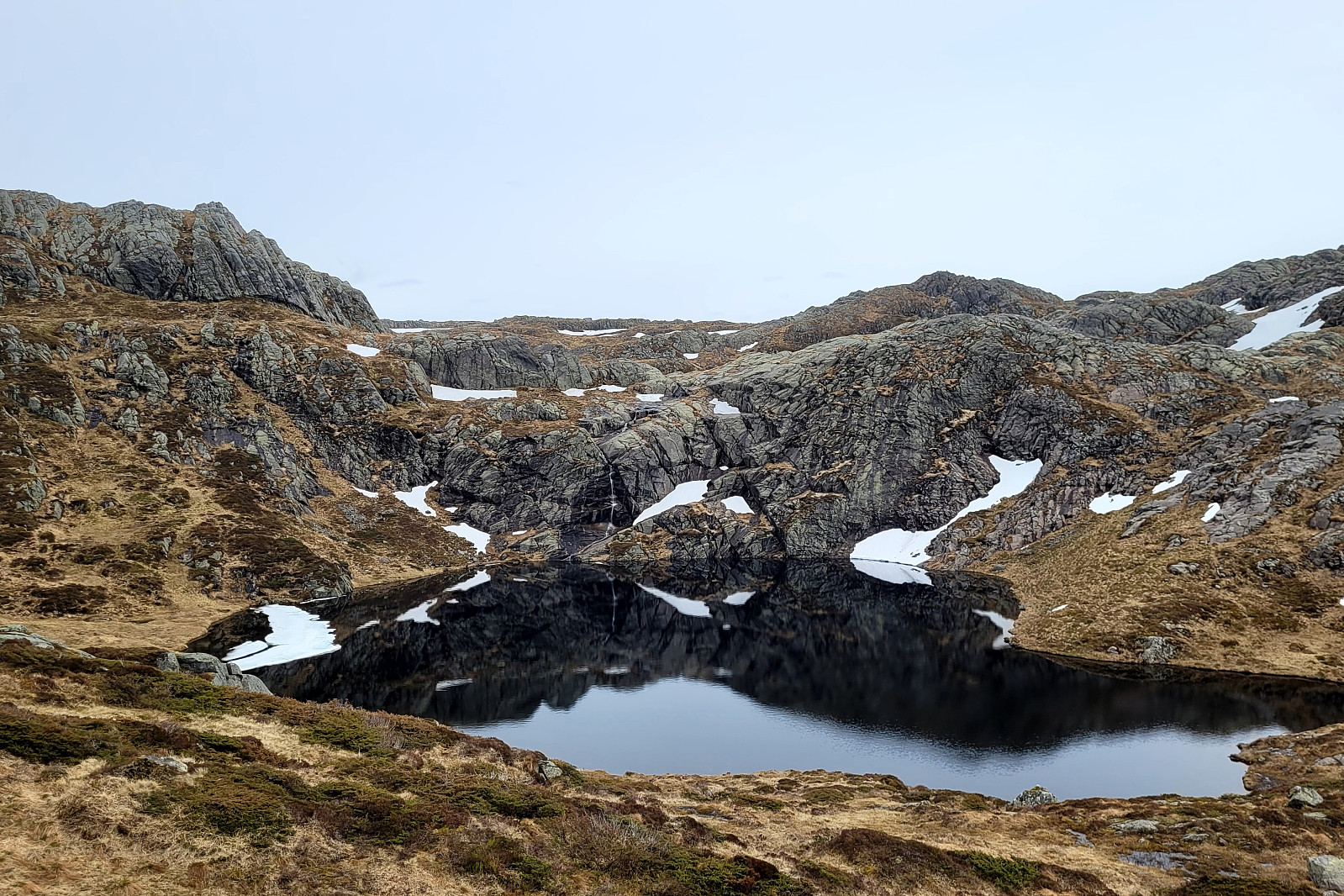 As part 1 of a two-days hike across Stord, we first took an early bus from Bergen southwards. The bus dropped us off near Vistvik (Vestvik?) quite a bit north on Stord. From Grønestølen, we then started our ascent into Hovlandsdalen, where Vistvikelva comes down. At almost 200 masl, we then followed a sign towards Tindane (turning left to get up the northern ridge of Tindane). We then followed the trail further up to Tindane (this trail is not used a lot, as it seems, but still easy to find -- at times, howover, the terrain is quite wet). Near Tindane, we then arrived at Tindaslottet (a small cabin, firmly protected by stones all-around). After a short break (it was not really warm enough for any longer break, and also we could not really enjoy a lot of great views due to low-hanging >>>
Hovlandsnuten and Etlådnefjellet
- Dato:
- 31.05.2020
- Turtype:
- Fottur
- Turlengde:
- 5:15t
- Distanse:
- 11,8km
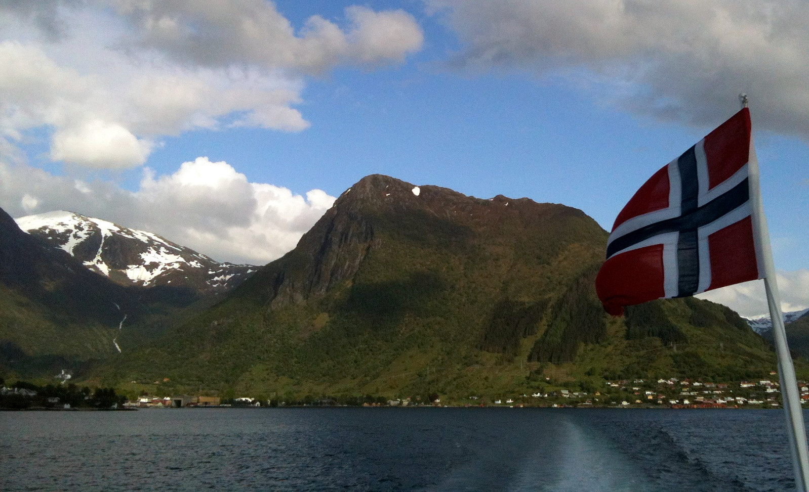
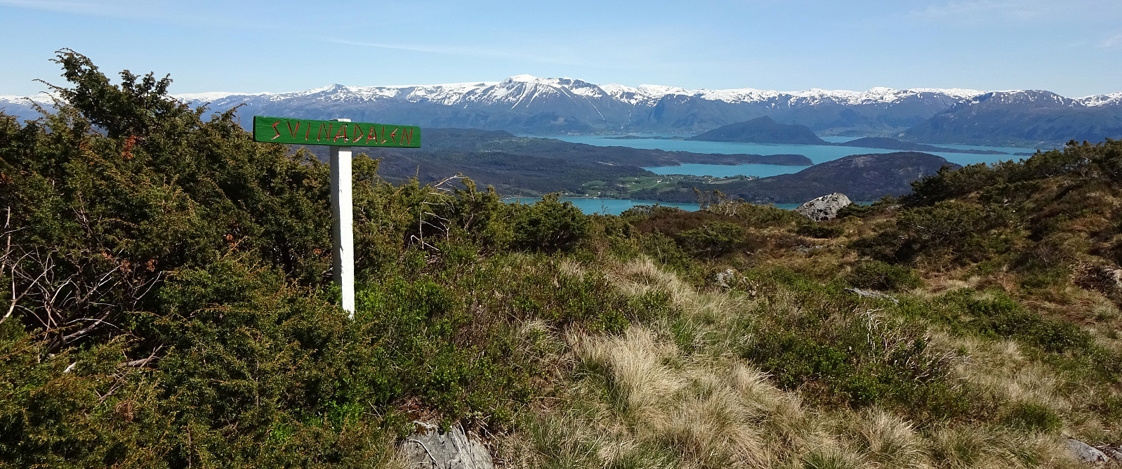 For years, we had talked about "one day" visiting Tysnes and doing some nice hike there. This weekend, with warm and sunny weather, seemed to be perfect to actually do it! :-) We drove from Bergen to Halhjem (southwest of Osøyro) and took the ferry to Vågen from there. Already this crossing of Bjørnafjorden was nice, with nice views towards south and east! Once on Tysnes, we drove first east (towards Lundegrend). There, we turned right (and south) and crossed over to the southeastern side of Tysnes (Hovland & Tveit). Our plan was to go a nice round over Hovlandsnuten, maybe the most spectacular mountain on Tysnes (not the hightest though). We parked near Tveitneset and started to hike along a forest road that extends southwards (parallel to the steep mountain side there, >>>
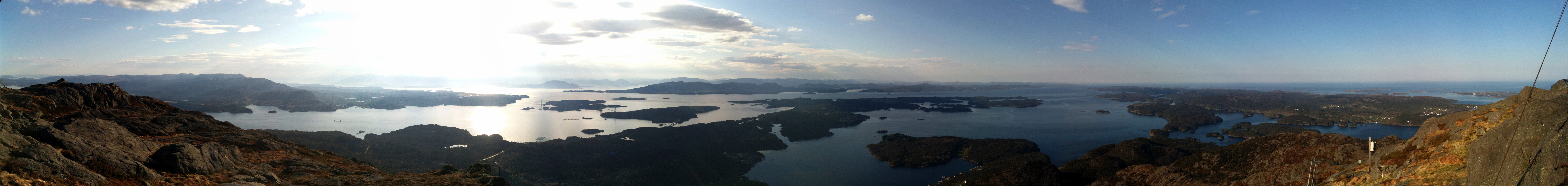
Malmangersnuten
- Dato:
- 15.05.2014
- Turtype:
- Fjelltur
- Turlengde:
- 3:00t
- Distanse:
- 6,3km
 Good hike from Rosendal on a very wet day! :-)
Web page WestCoastPeaks.com provides useful information about Malmangersnuten
and also Petter Bjørstad has a useful page about Malmangersnuten .
Good hike from Rosendal on a very wet day! :-)
Web page WestCoastPeaks.com provides useful information about Malmangersnuten
and also Petter Bjørstad has a useful page about Malmangersnuten .
Siggjo
- Dato:
- 20.05.2013
- Turtype:
- Fjelltur
- Turlengde:
- 2:00t
- Distanse:
- 4,9km
 Very nice morning hike (from Idlestigen up Siggjo and down again) -- really a nice mountain (standing quite alone and prominent)!
Stovegolvet
- Dato:
- 19.05.2013
- Turtype:
- Fjelltur
- Turlengde:
- 2:30t
- Distanse:
- 6,7km
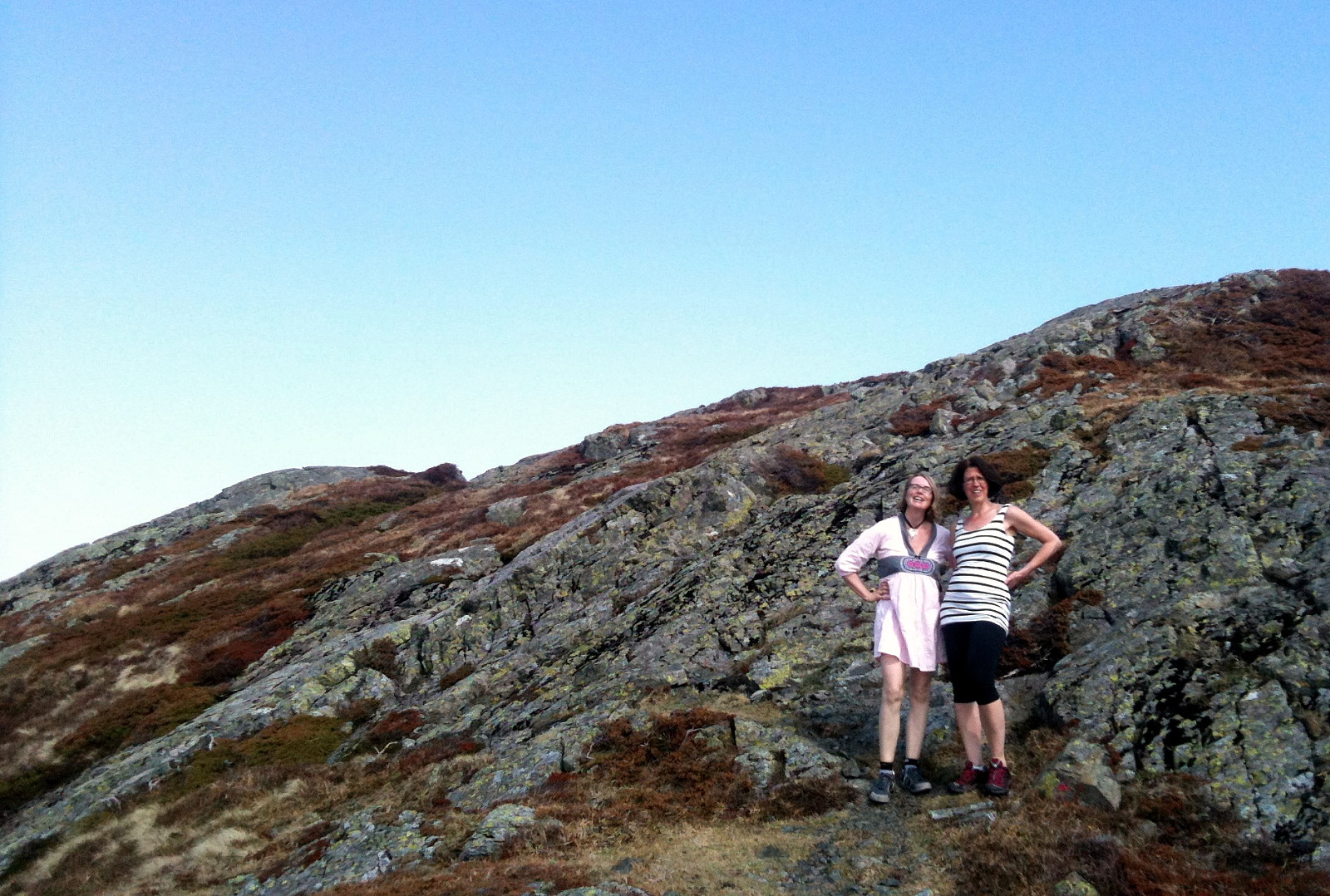 Very nice hike, starting from Lundastølen, first parallel to the road which leads up to Kattnakken, then to the left and up (to the saddle), before turning left (and west), again, and continuing to Stovegolvet. Down via a step descent to the west and through Tyseskaret, before connecting back to the parking at Lundastølen.
Kattnakken
- Dato:
- 15.04.2008
- Turtype:
- Fjelltur
- Turlengde:
- 3:00t
- Distanse:
- 10,5km
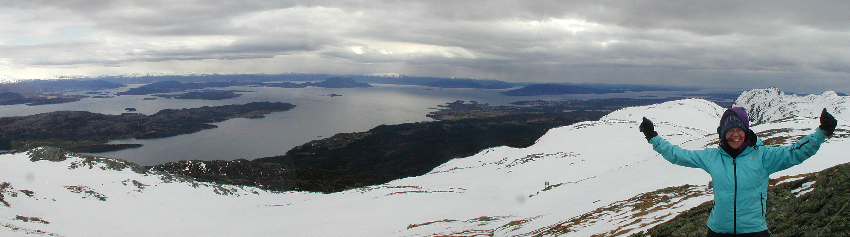 Wonderful tour with quite a bit of snow up and down Kattnakken on Stord.
