Arkiv - dato
Arkiv - aktivitet
-
Annen tur (1)
- Kajakkpadling (1)
-
Annen vintertur (3)
- Trugetur (3)
- Fottur (615)
-
Skitur (3)
- Fjellskitur (3)
-
Sykkeltur (94)
- Blandet sykling (22)
- Gatesykling (2)
Arkiv - Etter geografi
"Peakbookvenner"


Lister jeg samler etter
-
Bergen ≥ 50m pf. og ≥ 100 m.o.h.
(81/89)
 91%
91% -
Opptur Bergen
(98/113)
86%
-
De syv fjell rundt Bergen
(6/7)
85%
-
Most dominating tops of the Bergen peninsula
(63/75)
84%
-
Utvalgte topper og turmål i Bergen
(244/306)
79%
-
Sund ≥ 50m pf.
(14/18)
77%
-
Alle topper i Bergen
(272/350)
77%
-
Os ≥ 50m pf.
(23/34)
67%
-
Hytter og objekter i Byfjellene
(66/101)
65%
-
Midthordland PF>= 100m
(73/115)
63%

Blauspitze near Kals am Grossglockner
- Dato:
- 12.07.2016
- Turtype:
- Fjelltur
- Turlengde:
- 8:00t
- Distanse:
- 17,0km
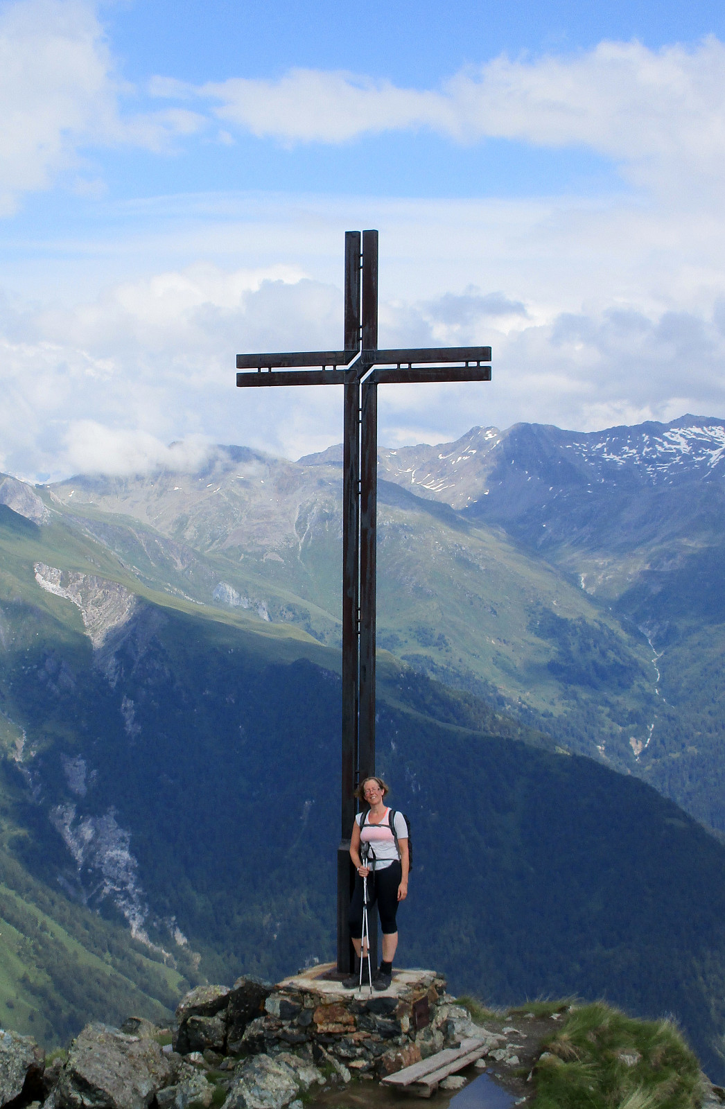 We started from Spöttling-Taurer in the upper end of Kals am Grossglockner, crossed over the Kalserbach there to the western side of the valley, and ascended from there along the Mitterbach-valley towards Kereralm. From there, we continued upwards towards the Hohes Tor. At about 2000m sea-level, we ended up in a thunderstorm and started to feel somewhat uneasy, exposing us too much to the bad weather. We therefore turned around and descended, again, following a forrest road southwards from Kereralm (at about 1800m sea-level). We connected to the place, where a lift comes up from Grossdorf, connecting to Ganotzalm, further up. We continued on the forrest road, which leads up to the hut Glocknerblick on about 1950m sea-level. There, we had a nice rest and filled up some energy (unfortunately, >>>
