Arkiv - dato
Arkiv - aktivitet
-
Annen tur (1)
- Kajakkpadling (1)
-
Annen vintertur (3)
- Trugetur (3)
- Fottur (615)
-
Skitur (3)
- Fjellskitur (3)
-
Sykkeltur (94)
- Blandet sykling (22)
- Gatesykling (2)
Arkiv - Etter geografi
"Peakbookvenner"


Lister jeg samler etter
-
Bergen ≥ 50m pf. og ≥ 100 m.o.h.
(81/89)
 91%
91% -
Opptur Bergen
(98/113)
86%
-
De syv fjell rundt Bergen
(6/7)
85%
-
Most dominating tops of the Bergen peninsula
(63/75)
84%
-
Utvalgte topper og turmål i Bergen
(244/306)
79%
-
Sund ≥ 50m pf.
(14/18)
77%
-
Alle topper i Bergen
(272/350)
77%
-
Os ≥ 50m pf.
(23/34)
67%
-
Hytter og objekter i Byfjellene
(66/101)
65%
-
Midthordland PF>= 100m
(73/115)
63%

Bjørnaneset in Arboretet
- Dato:
- 29.04.2023
- Turtype:
- Spasertur
- Turlengde:
- 2:00t
- Distanse:
- 4,1km
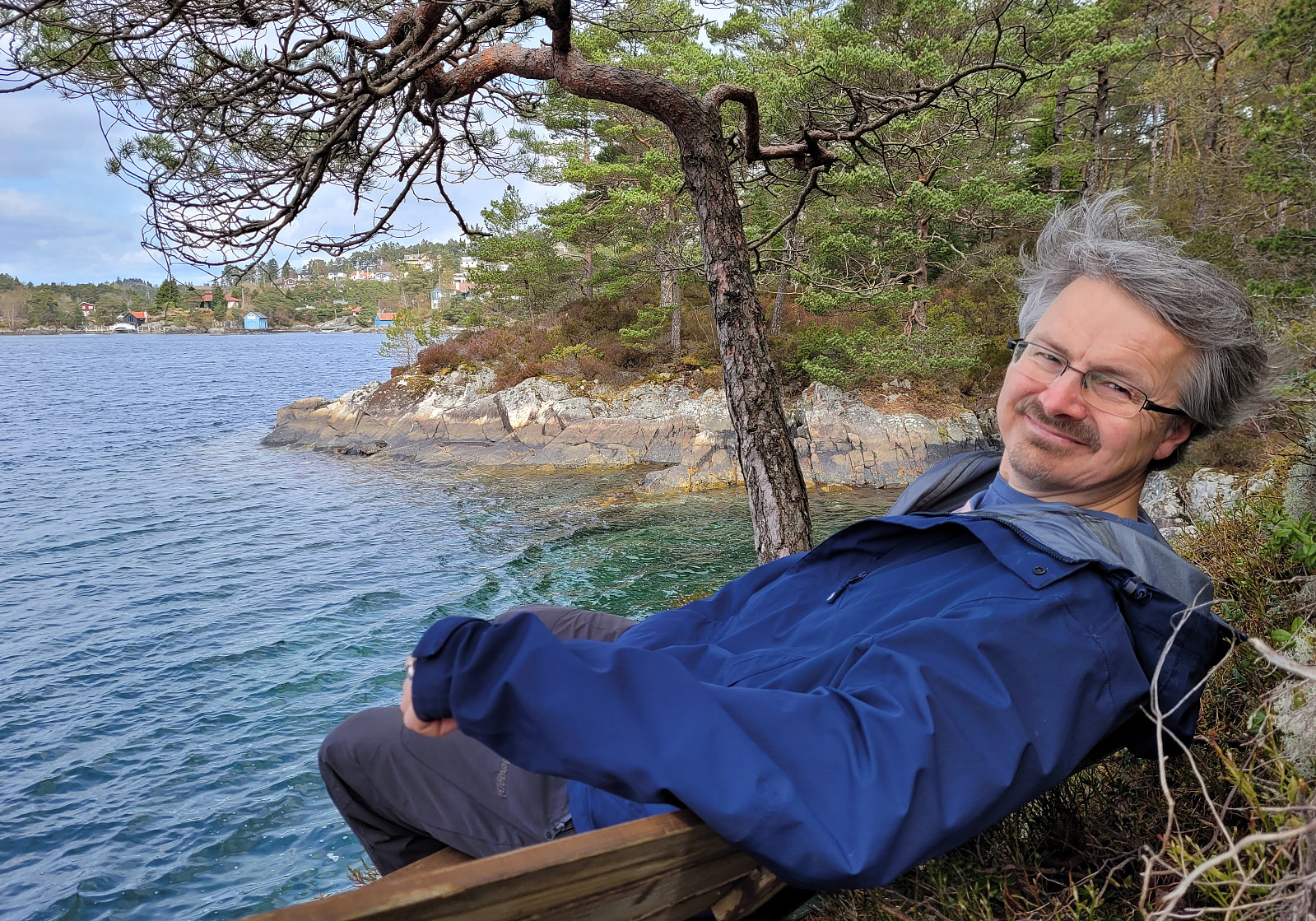 With some mixed weather prediction and a few other duties to do on this Saturday, we decided to "just" explore Arboretet in Milde a little further. We parked at the parking lot in the northwest of Arboretet and started our walk along the main gravel road. Only a few meters into it, however, we decided that we rather were up for some exploration and deviated to the south, up Gravåsen. From there, we then connected to Søre Vasshaugen, before then heading in a more northern direction. Near Mørkevatnet, we crossed the gravel road and continued on the western side of this small lake. In the north of it, we then found a convenient way to get over to the other, northeastern side. Already near Vestrepollen there, we continued into the direction of Bjørnaneset, following the shoreline >>>
Slettegga, Austefjellet, and Hausdalshorgi
- Dato:
- 22.04.2023
- Turtype:
- Fottur
- Turlengde:
- 4:30t
- Distanse:
- 11,1km
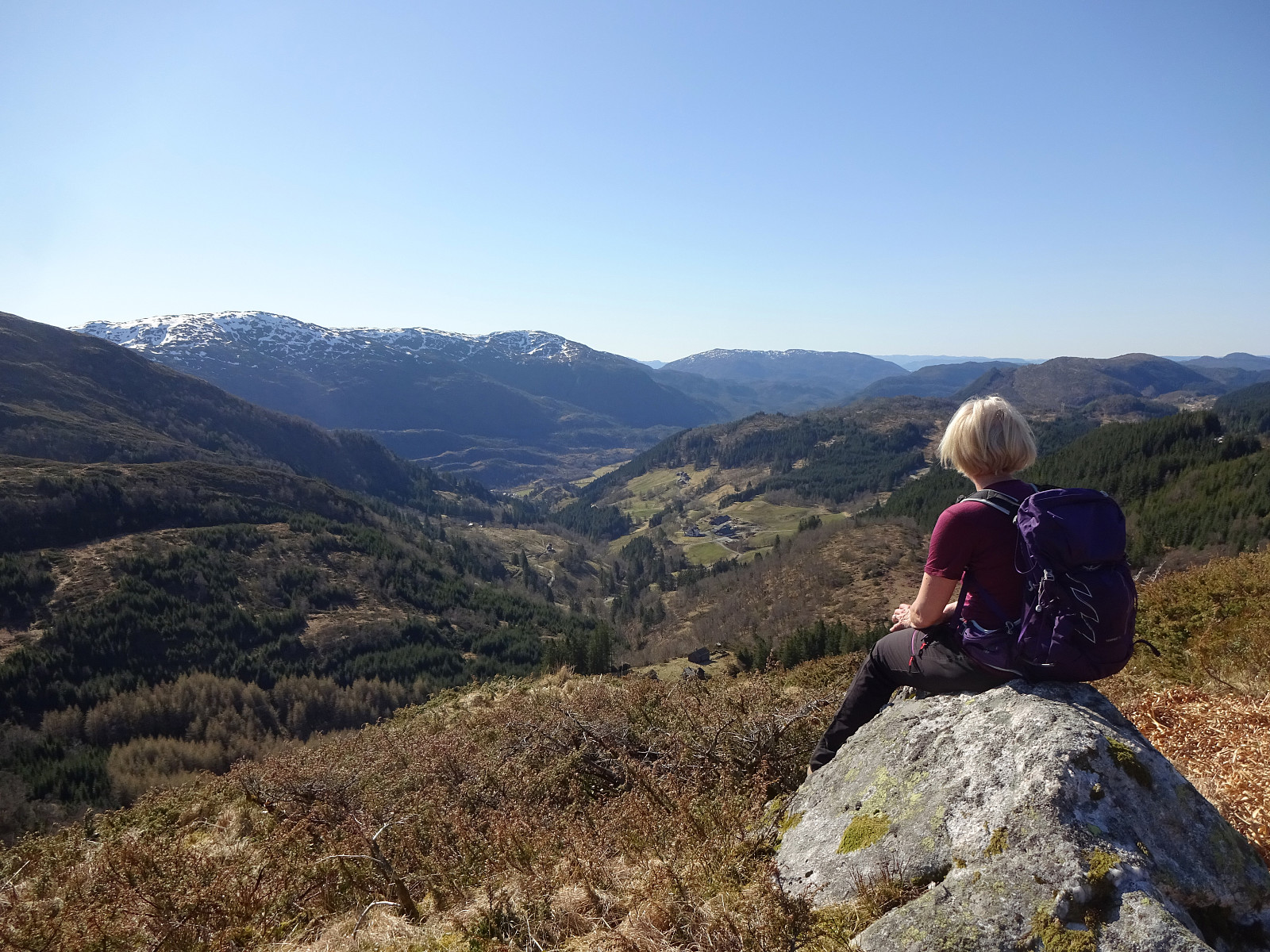 It looked like a wonderful spring day and we had a couple of hours. Since we had talked about Slettegga, already, we decided to try a new ascent to Slettegga -- via its southern ridge (up from Bjørnastølen). We drove into the valley of Bontveit (up from Kalandsvatnet) and over the saddle at the high end of the valley and further onto Øvstebøvegen. Near the low point of this road, before crossing over the stream that comes down from the north, we parked and started our hike. Near the bridge over the stream, we left the road to the left and ascended (quite steeply) up Lurabakken. After stepping through a few trees at about 260masl, we continued along a simple trail that leads northwards on the western side of the stream (in parallel to the stream). At about 315masl, we then crossed >>>
Stongfjellet and Skolmen
- Dato:
- 15.04.2023
- Turtype:
- Fottur
- Turlengde:
- 4:30t
- Distanse:
- 10,0km
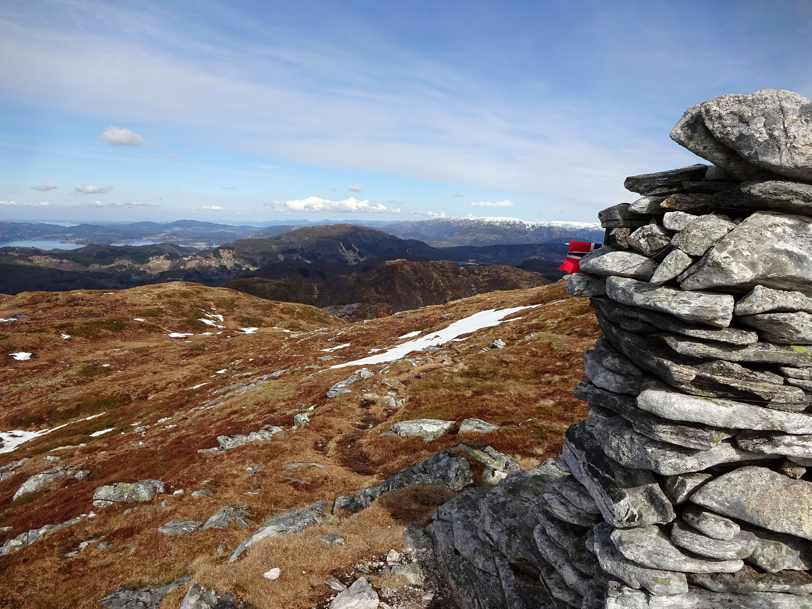 We first had considered Høgafjellet on Osterøy, but since we expected -- probably for good reasons -- quite a bit of snow on Høgafjellet, we eventually decided against Høgafjellet. Since we already thought about Osterøy, we chose Stongfjellet, instead. To get there, we drove to Osterøy (via the bridge to Osterøy), continuing through the tunnel on Osterøyvegen. At Gongerinden, we left Osterøyvegen, heading towards Gjerstad on Gjerstadvegen. Once through Gjerstad (and crossing over the stream), we continued via Solbjørg and Solbjørgsdalen. We then took Hovdavegen, passing by Låstadvatnet in its south and continuing further upwards in southeastern direction. Very close to the saddle, before reaching Hovdo at the end of the road, we parked right next to the trail-head. From Hovdavegen, >>>
