Arkiv - dato
Arkiv - aktivitet
-
Annen tur (1)
- Kajakkpadling (1)
-
Annen vintertur (3)
- Trugetur (3)
- Fottur (609)
-
Skitur (3)
- Fjellskitur (3)
-
Sykkeltur (93)
- Blandet sykling (21)
- Gatesykling (2)
Arkiv - Etter geografi
"Peakbookvenner"


Lister jeg samler etter
-
Bergen ≥ 50m pf. og ≥ 100 m.o.h.
(81/89)
 91%
91% -
Opptur Bergen
(98/113)
86%
-
De syv fjell rundt Bergen
(6/7)
85%
-
Most dominating tops of the Bergen peninsula
(63/75)
84%
-
Utvalgte topper og turmål i Bergen
(241/306)
78%
-
Sund ≥ 50m pf.
(14/18)
77%
-
Alle topper i Bergen
(268/350)
76%
-
Os ≥ 50m pf.
(23/34)
67%
-
Hytter og objekter i Byfjellene
(66/101)
65%
-
Fjell ≥ 50m pf.
(20/32)
62%

Borga in quite some snow
- Dato:
- 25.02.2023
- Turtype:
- Fottur
- Turlengde:
- 5:00t
- Distanse:
- 10,5km
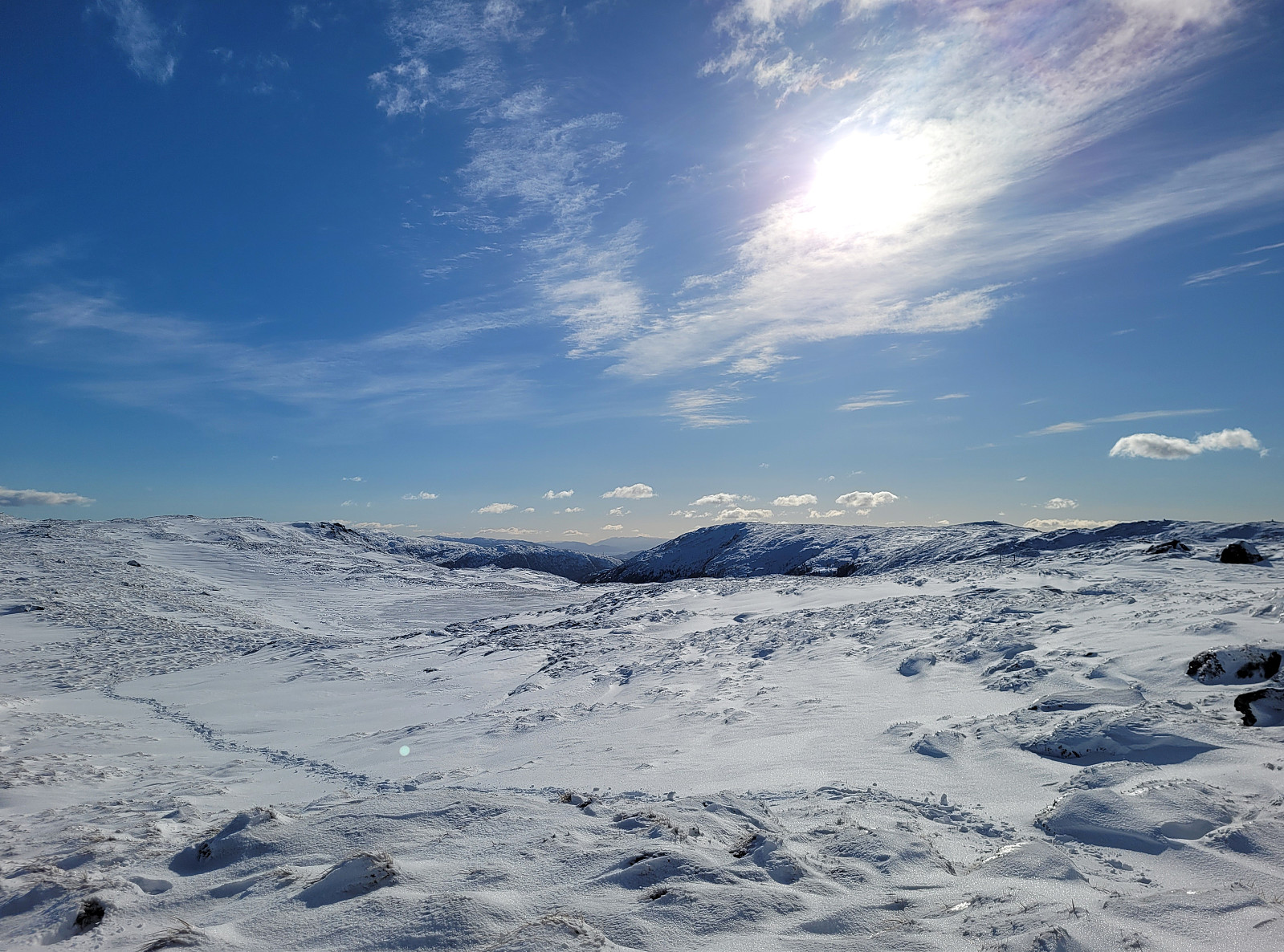 There was quite some snow to expect and since we still wished to hike, we aimed at choosing a route that would be possible to hike well, even without snoeshoes. Estimating that Borga should still be fine, we drove to the other side of Vidden and parked along Kvamsvegen near Austrestølane. From there, we first hiked up Sauhola, already stepping through a substantial layer of snow. Once up to Bjørndalen and back to the gravel road that also leads up here (offering a less steep, alternative route up), we turned left and crossed over the stream that continues down Sauhola. Now in a southward direction (towards Nedstaflåna), we started to surround Bjørndalen in its south with the goal to find a suitable route up to Borga in the southwest of Bjørndalen. At first, up to about 400masl, this >>>
Ulvenfjellet and Vardafjellet
- Dato:
- 18.02.2023
- Turtype:
- Fottur
- Turlengde:
- 2:30t
- Distanse:
- 5,7km
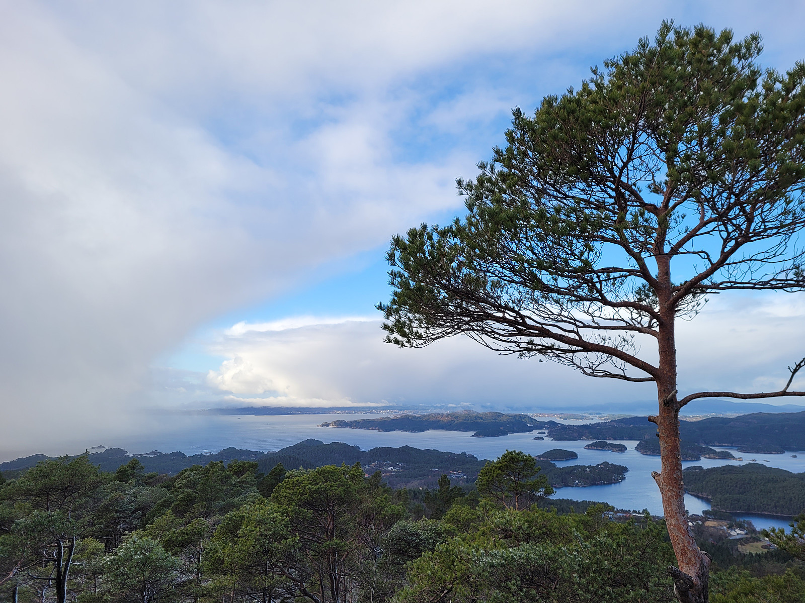 It had been a (quite long) while since we last had visited Ulvenfjellet near Os (almost 15 years). This time, we considered an ascent from its northside, starting at Drangsvegen. We found a suitable place for parking near the bridge over Vikelva. From there, the first goal was to get up to Søvikfjellet. We ascended more or less directly up towards Søvikfjellet (without a trail and across relatively steep terrain). Doing so, we also crossed over a forest road that comes up from Helleskaret, providing another (less adventurous) way up. Once on the heights of Søvikfjellet, we aimed at Gaddhaugen as our next goal. While heading there, we connected (for a short stretch of our hike) with the trail, which is the extension of the forest road that we had crossed a bit further down. To get >>>
Biking Grimseidvegen (with Storrinden and Stendafjellet)
- Dato:
- 05.02.2023
- Turtype:
- Sykkeltur
- Turlengde:
- 2:30t
- Distanse:
- 35,6km
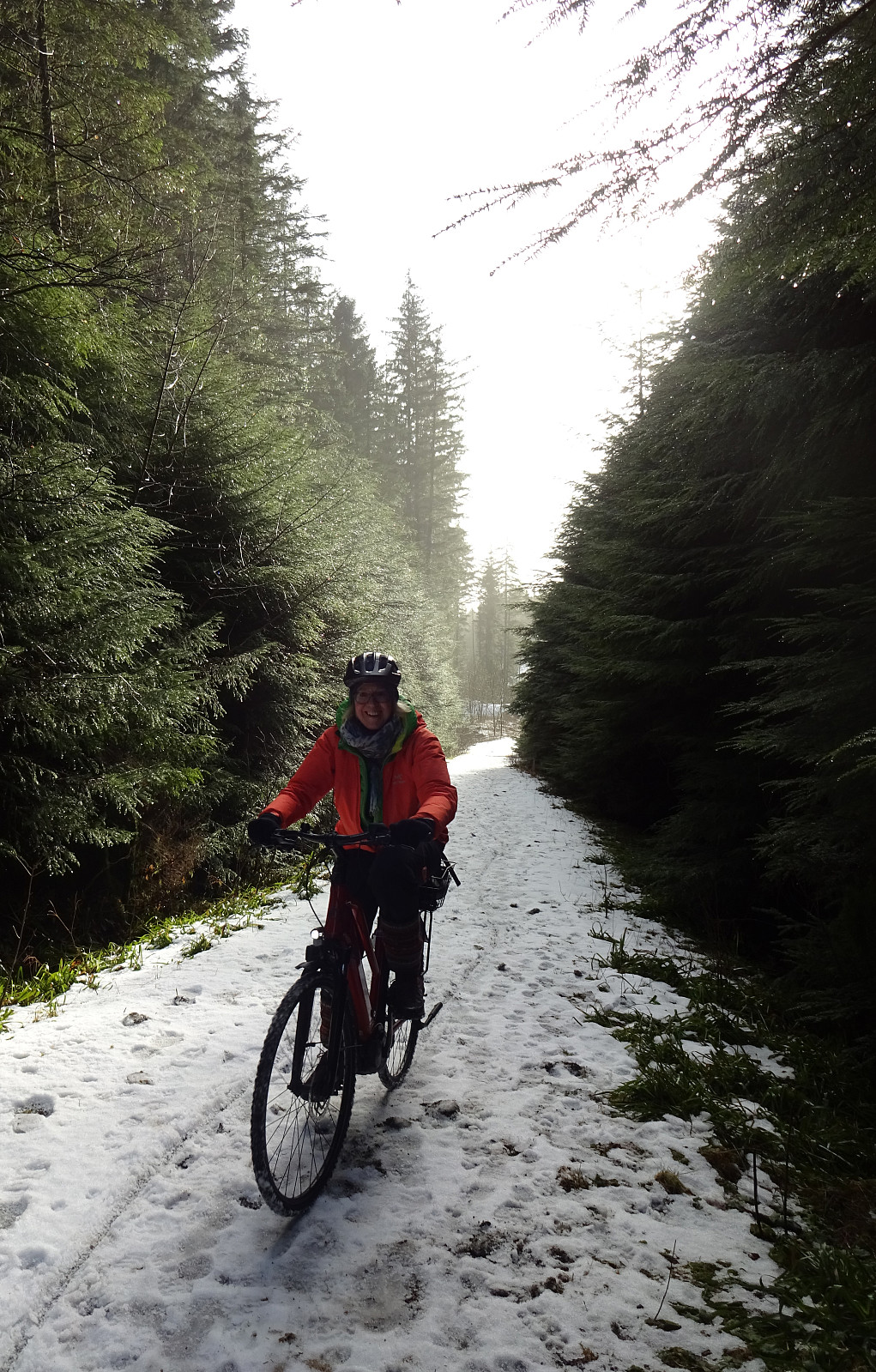 This time, we were in the mood for a bike trip. We headed first south, passing by Sælenvatnet in its southwest, before then crossing over the narrow connection of Nordåsvatnet and Grimstadfjorden. While heading further southwards, we included a detour up to Storrinden (this was quite interesting as substantial sections of the road up and down were covered with ice). Once back on Ytrebygdsvegen, we continued further southwards. We crossed Flypassvegen and continued into the direction of Hjellestad. Before actually getting there, however, we turned left (twice) to get onto Grimseidvegen. This way, we had changed direction and were cycling in about eastern/northeastern direction. Once passed Grimseidvatnet, we turned right to get onto Skeievegen that brought us to the other side of Hordnesskogen >>>
