Arkiv - dato
Arkiv - aktivitet
-
Annen tur (1)
- Kajakkpadling (1)
-
Annen vintertur (3)
- Trugetur (3)
- Fottur (609)
-
Skitur (3)
- Fjellskitur (3)
-
Sykkeltur (93)
- Blandet sykling (21)
- Gatesykling (2)
Arkiv - Etter geografi
"Peakbookvenner"


Lister jeg samler etter
-
Bergen ≥ 50m pf. og ≥ 100 m.o.h.
(81/89)
 91%
91% -
Opptur Bergen
(98/113)
86%
-
De syv fjell rundt Bergen
(6/7)
85%
-
Most dominating tops of the Bergen peninsula
(63/75)
84%
-
Utvalgte topper og turmål i Bergen
(241/306)
78%
-
Sund ≥ 50m pf.
(14/18)
77%
-
Alle topper i Bergen
(268/350)
76%
-
Os ≥ 50m pf.
(23/34)
67%
-
Hytter og objekter i Byfjellene
(66/101)
65%
-
Fjell ≥ 50m pf.
(20/32)
62%

Helldalssåta via Helldal
- Dato:
- 29.08.2021
- Turtype:
- Fottur
- Turlengde:
- 3:30t
- Distanse:
- 11,2km
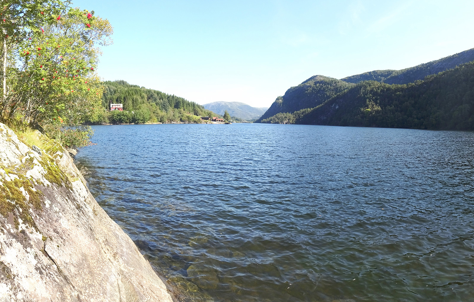 I had taken my bike to Sanddalen (via Nesttun in the south of Bergen) and started my hike in southern direction on Sandbrekkevegen. This brought me across Hardangervegen to Ulsmåg on the other, southern side. My first hiking-goal was to walk across Oksla in the northwest of Dyngeland, following most of its long ridge. Walking up Ulsmågvegen, I watched out for a suitable place, where I could leave the road and start hiking in the terrain. At this southwestern end of the Oksla-ridge, its northwestern face is quite a bit steep, leaving it unclear, while studying the map up-front at home, whether an ascent from this side would be reasonable at all, or whether I would have to go all around to Stallavegen, first. Luckily, I did find a good spot to pass by Ulsmågvegen number 28 (some car rental company there) >>>
Biking around Nordåsvatnet
- Dato:
- 29.08.2021
- Turtype:
- Gatesykling
- Turlengde:
- 1:30t
- Distanse:
- 24,6km
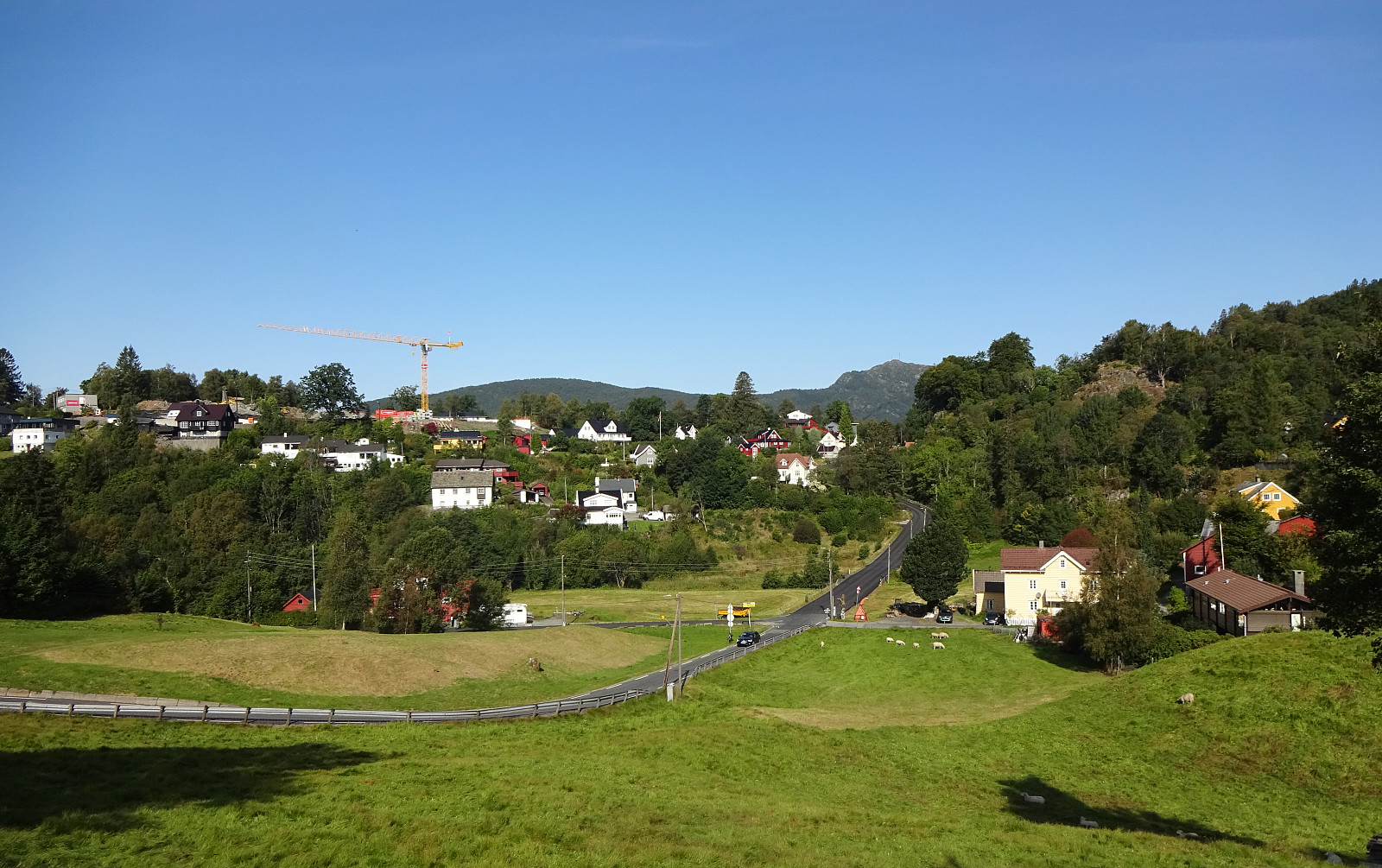 To get to a suitable starting location for my Helldal hike today, I took my eBike and made it a (mixed) double round. Starting from Varden in the south of Fyllingsdalen, Bergen, I first biked along Sælenvatnet towards Nordåsvatnet. At Straume, I crossed over to the southern side, and from Søreide, I basically followed Steinsvikvegen in southeastern direction (mostly to get around Steinsvik and over to Nordås). Since my plan was to come by Skjoldabukta on my way to Nesttun, I left Steinsvikvegen near Dortledhaugen (towards the north), finding a connection that led me up to Nordåsvegen. Instead of following Nordåsvegen right away, however, I made a little extra-detour over Nordåshøgda before getting down to Nordåsvegen (a bit further north) again. I then followed Nordåsvegen until I turned >>>
Skåldalsnipa from Moldalia
- Dato:
- 22.08.2021
- Turtype:
- Fottur
- Turlengde:
- 3:00t
- Distanse:
- 8,8km
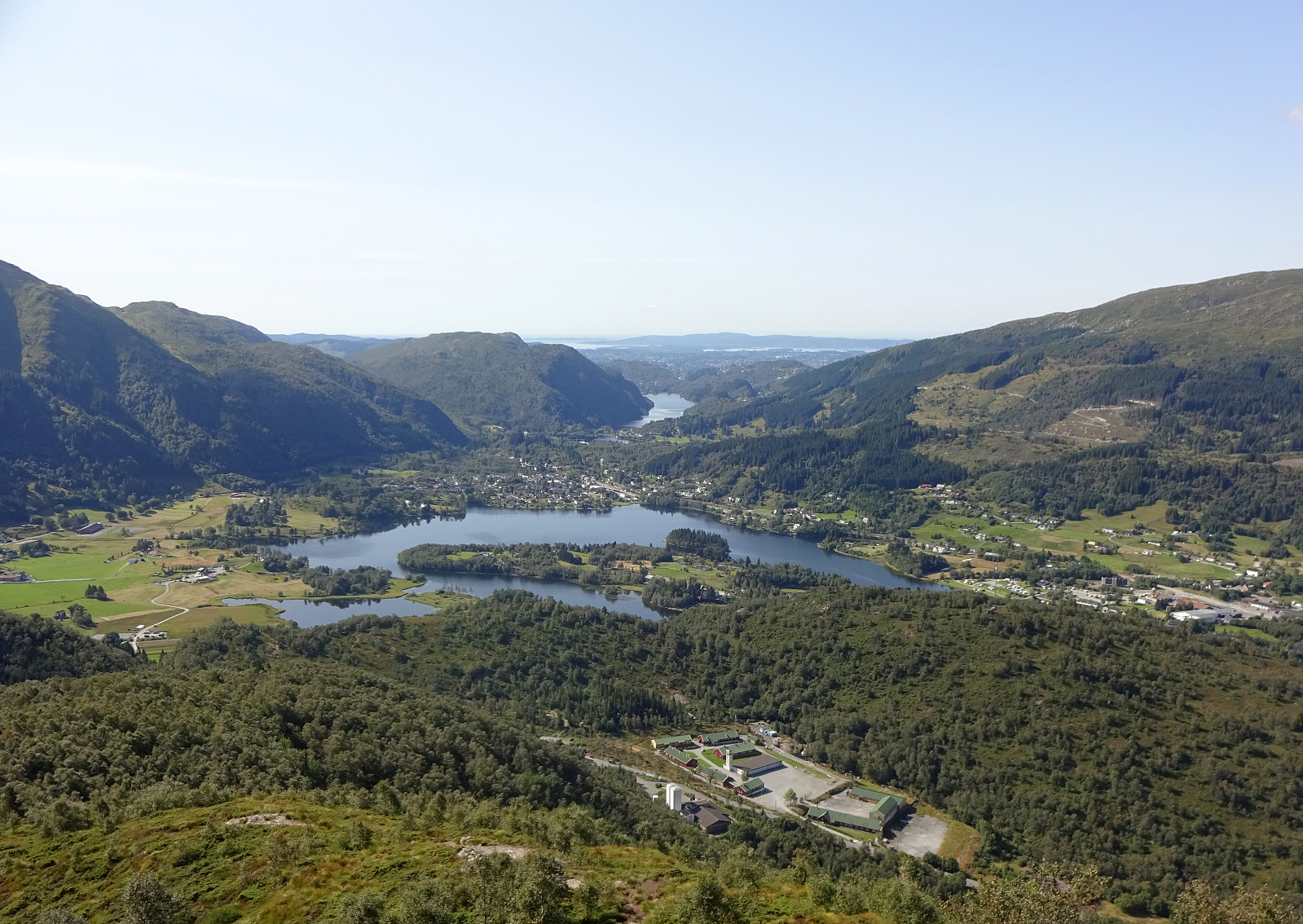 With a lovely late summer day ahead of us, we aimed at exploring a route leading up to / down from Skåldalsnipa that we had not yet hiked, i.e., the "diagonal" that runs (more or less) exactly north-south, connecting Hestabotn (below 450mosl in the north) and Skåldalsnipa (at about 600mosl in the south). To do so, we parked right next to Skåldalselva, where road Moldalia forks off from road Moldamyrane, and started our hike with an ascent towards the ridge that extends southwards from Skåldalsnipa. Starting along a forest road that extends towards the southeast from Moldalia (first kind of parallel to the long pipe installation on the steep western mountain slope of Skåldalsnipa), we located the trail head (after a short, wrong detour) at about 135mosl. From there, a good >>>
Tverrfjellet
- Dato:
- 21.08.2021
- Turtype:
- Fjelltur
- Turlengde:
- 1:30t
- Distanse:
- 2,9km
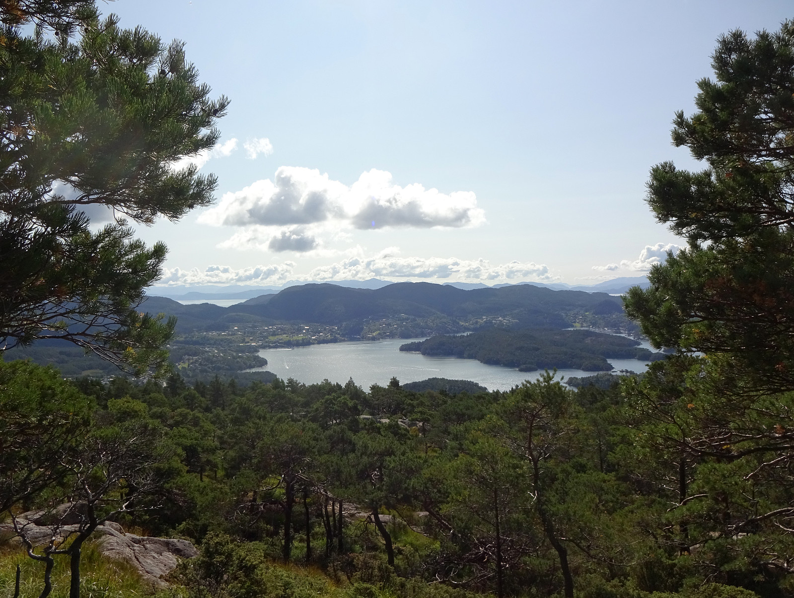 With just a little bit of time available, we simply headed for a short exploration of the forest north of Nordvik (south of Fanafjellet). After driving over Fanafjellet from Bergen, we parked along road 5158 just northeast of Nordvik. From there, we proceeded right into the forest (in western direction), coming by Klubnehaugen in its north only a short while later, before entering the valley of Moldstigen north of Nordvik. Instead of following the main trail up this valley, we ascended into the direction of Tverrfjellet, leaving the valley in western direction. After a bit of an ascent through the forest, we arrived first at a smaller side-top of Tverrfjellet in its southeast. Even though we already had some nice views from there (between the trees), we still made it across a little wet >>>
