Arkiv - dato
Arkiv - aktivitet
-
Annen tur (1)
- Kajakkpadling (1)
-
Annen vintertur (3)
- Trugetur (3)
- Fottur (615)
-
Skitur (3)
- Fjellskitur (3)
-
Sykkeltur (94)
- Blandet sykling (22)
- Gatesykling (2)
Arkiv - Etter geografi
"Peakbookvenner"


Lister jeg samler etter
-
Bergen ≥ 50m pf. og ≥ 100 m.o.h.
(81/89)
 91%
91% -
Opptur Bergen
(98/113)
86%
-
De syv fjell rundt Bergen
(6/7)
85%
-
Most dominating tops of the Bergen peninsula
(63/75)
84%
-
Utvalgte topper og turmål i Bergen
(244/306)
79%
-
Sund ≥ 50m pf.
(14/18)
77%
-
Alle topper i Bergen
(272/350)
77%
-
Os ≥ 50m pf.
(23/34)
67%
-
Hytter og objekter i Byfjellene
(66/101)
65%
-
Midthordland PF>= 100m
(73/115)
63%

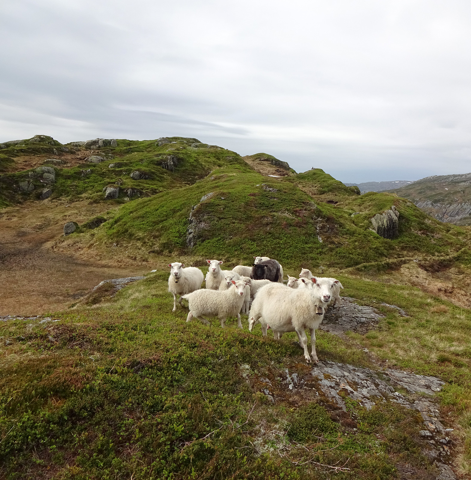
Kofta (and Gullfjellet) from Nordbø
- Dato:
- 20.06.2020
- Turtype:
- Fottur
- Turlengde:
- 6:00t
- Distanse:
- 12,6km
 For at least two years, already, we had (occasionally) considered this hike: Kofta from Nordbøbotnen. After a relaxing morning, and knowing that the days are (very) long at this time of the year, we decided to go and do it. We drove from Bergen (via E16 first, then across Gullbotn) and left road #7 right after Hisdalstunnelen (to the right), where it leads on into the direction of Osøyro. Driving down road #137 for only a short stretch, we came to Nordbø, where we turned right (again), now in northern direction. From there, we continued for just about 850m, or so, until we had passed the last house. There, before entering the forest, we parked next to the road. We first walked along the forest road (the same road that we had come in with the car further down) up to about 200mosl (only >>>
Storenuten and Vardane
- Dato:
- 14.06.2020
- Turtype:
- Fottur
- Turlengde:
- 4:30t
- Distanse:
- 9,3km
 We expected (for good reasons) a nice Sunday and thus aimed at a nice (new) hike! We had looked at Storenuten, south of Vaksdal, not very far from Bergen. Taking road E16 into the direction of Voss, we turned right in Vaksdal, after driving through Bogatunnelen. We then rounded Sørbø, in the south of Vaksdal, passing by the non-small church of Vaksdal. We then followed what previously must have been the main road to Bergen in southern direction, getting to Bogo within a bit. At Ytre Bogo we parked along Bogavegen and started our hike there. After a careful study of the map (at home), we aimed for Storenuten "as directly as possible". This, clearly, is non-trivial, without a trail, and should be planned carefully when considered! Alternatively, one may follow a nice trail, >>>
Kanadaskogen
- Dato:
- 13.06.2020
- Turtype:
- Fjelltur
- Turlengde:
- 3:00t
- Distanse:
- 8,7km
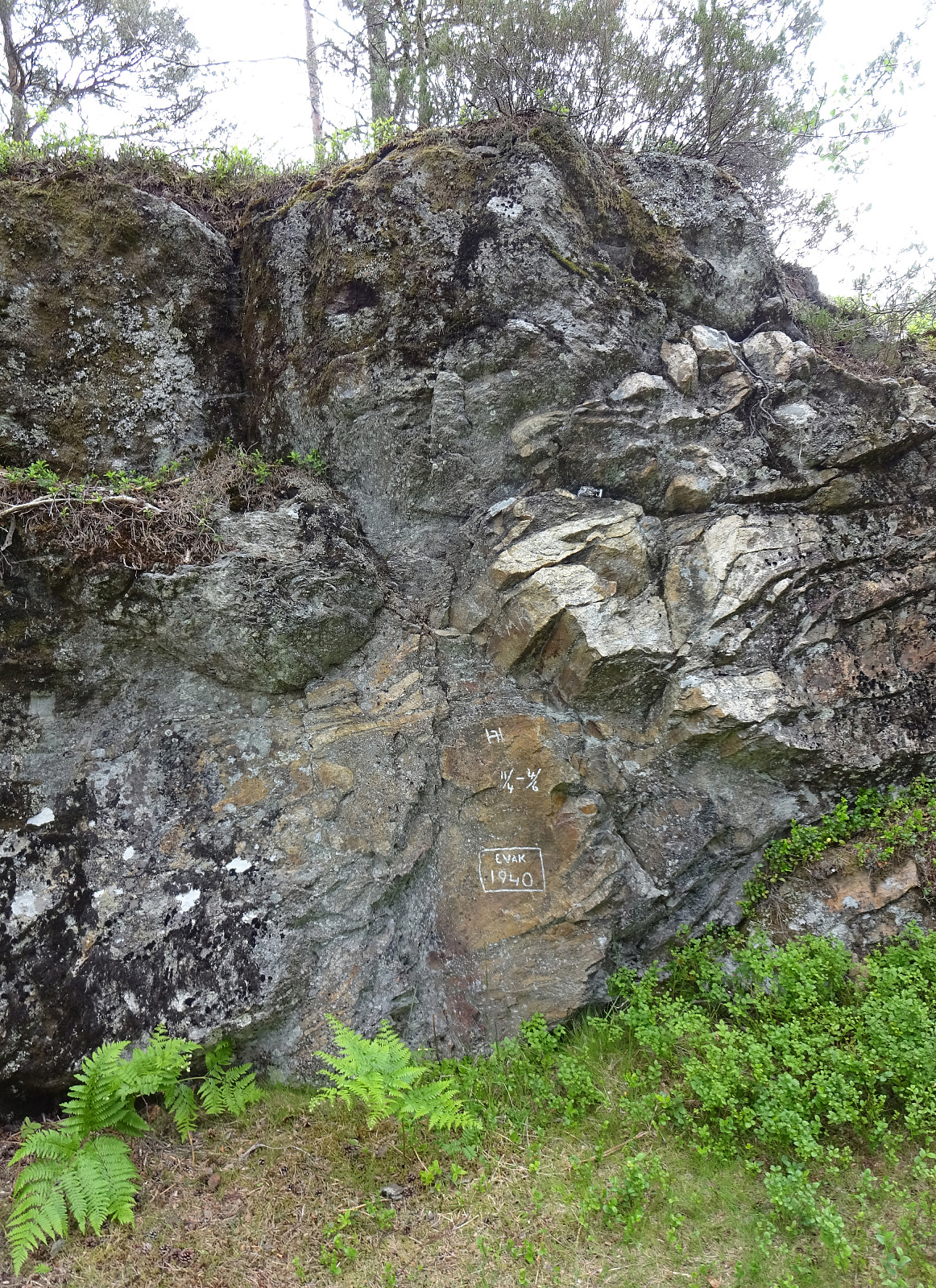 With only limited time at our disposal, we "simply" headed for Kanadaskogen. Passing by Gjeddevatnet (coming from Varden), we stepped upwards from Gjerdsvika. This time, we included Allestadhaugen (between Hesjaholten and Bjørndalsvatnet), before descending to the eastern side of Bjørndalsvatjnet. At the very northern end of Bjørndalsvatnet, where one still finds the remains of some former building, we followed the valley upwards (in northern direction), but just 25 height meters, or so. There, we turned left, first following a trail for a short while, before then continuing "straight" upwards to Træshovden through the forest. At Træshovden, we decided the Svartaberget make up a nice next goal (and off we headed there). Due to its very steep western side, Svartaberget >>>
