Arkiv - dato
Arkiv - aktivitet
-
Annen tur (1)
- Kajakkpadling (1)
-
Annen vintertur (3)
- Trugetur (3)
- Fottur (615)
-
Skitur (3)
- Fjellskitur (3)
-
Sykkeltur (94)
- Blandet sykling (22)
- Gatesykling (2)
Arkiv - Etter geografi
"Peakbookvenner"


Lister jeg samler etter
-
Bergen ≥ 50m pf. og ≥ 100 m.o.h.
(81/89)
 91%
91% -
Opptur Bergen
(98/113)
86%
-
De syv fjell rundt Bergen
(6/7)
85%
-
Most dominating tops of the Bergen peninsula
(63/75)
84%
-
Utvalgte topper og turmål i Bergen
(244/306)
79%
-
Sund ≥ 50m pf.
(14/18)
77%
-
Alle topper i Bergen
(272/350)
77%
-
Os ≥ 50m pf.
(23/34)
67%
-
Hytter og objekter i Byfjellene
(66/101)
65%
-
Midthordland PF>= 100m
(73/115)
63%

Around Vinddalen
- Dato:
- 19.01.2020
- Turtype:
- Fottur
- Turlengde:
- 2:30t
- Distanse:
- 6,8km
 With not so very many daylight hours available, we aimed at something "local". Ever since I read about Sofusstien , I thought that it would be nice to try this way (up to Stangelifjellet). We thus drove to Jordalen and parked near the bridge over the little stream, which comes down from southeast. We then hiked first into the direction of Jordalsskaret, but turned left (and upwards) soon after we had come to the end of the road. This way, on a proper forest road, we ascended about 100 height meters into the direction of Ulskebjørnen, before we connected to Stallane, which sits on a small saddle more or less directly under Ulskebjørnen. Later, during this hike, we then came down from Ulskebjørnen there. In order to get to Sofusstien, we followed the road Stallane down towards Vinddalen. Only a few >>>
Exploring Eidsvågsneset
- Dato:
- 12.01.2020
- Turtype:
- Fjelltur
- Turlengde:
- 3:00t
- Distanse:
- 8,3km
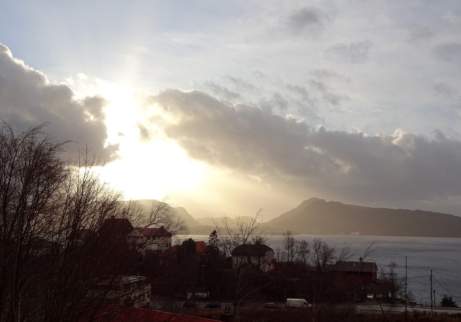 We took bus #4 to Sandviken (the last stop before the bus drives through the tunnel to Eidsvåg, i.e., Handelshøyskolen) and started to first walk along Helleveien towards the northern end of Eidsvågsneset. Near Hellen school, we made a little excursion onto a small hill top and could see Byfjorden from there. We then continued along Helleveien, before we turned half-right in order to take a pedestrian "road", which leads diagonally upwards towards Hellen festning (one leaves Helleveien shortly before getting to Eikevikstjernet). At Hellen festning, we explored what remains from the fortifications and also enjoyed some good views over Byfjorden. Originally, we had thought that we would continue from there towards Eidsvågsfjellet via Furekammen, but once at Hellen festning, >>>
Knappen "through the wild" :-)
- Dato:
- 04.01.2020
- Turtype:
- Fjelltur
- Turlengde:
- 1:00t
- Distanse:
- 4,6km
 On a not really very nice day (kind of wet, ...), we decided to just make a quick round in the neighborhood. After descending from Varden to Bjørgeveien, we started our ascent to Knappen along Sandeidbrotet. At about 35mosl, just before the street makes a sharp left-turn, a useful trail leaves the street in western direction (to the right). Only a few meteres higher, this trail splits into one to the right (useful to get up to Eldtona) and one to the left (into the direction of Knappatjørna). We followed this other trail (in southern direction) for a few meters, but then left the trail and turned right, ascending steeply (without a trail) towards Eldtona. At about 100mosl, we rejoined the trail to Eldtona and soon after we enjoyed the nice views from up there. Yet only a few minutes >>>
Round around Bjørndalsvatnet
- Dato:
- 01.01.2020
- Turtype:
- Fjelltur
- Turlengde:
- 2:00t
- Distanse:
- 8,2km
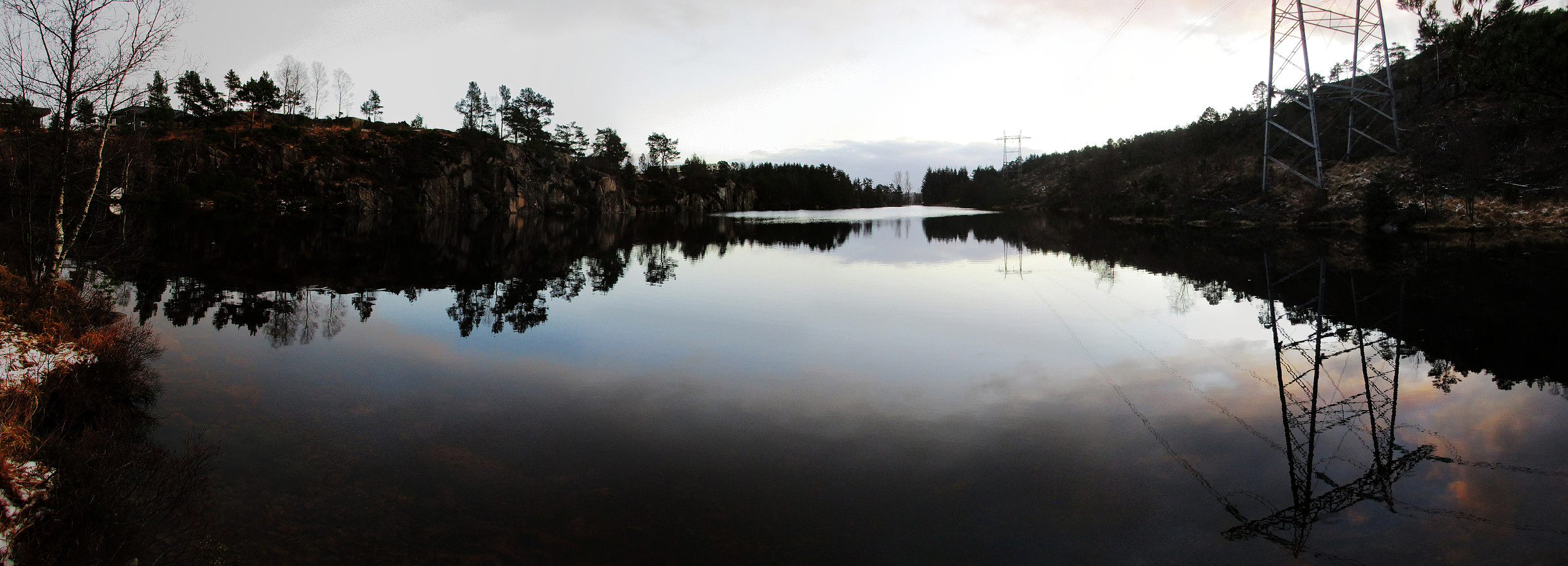
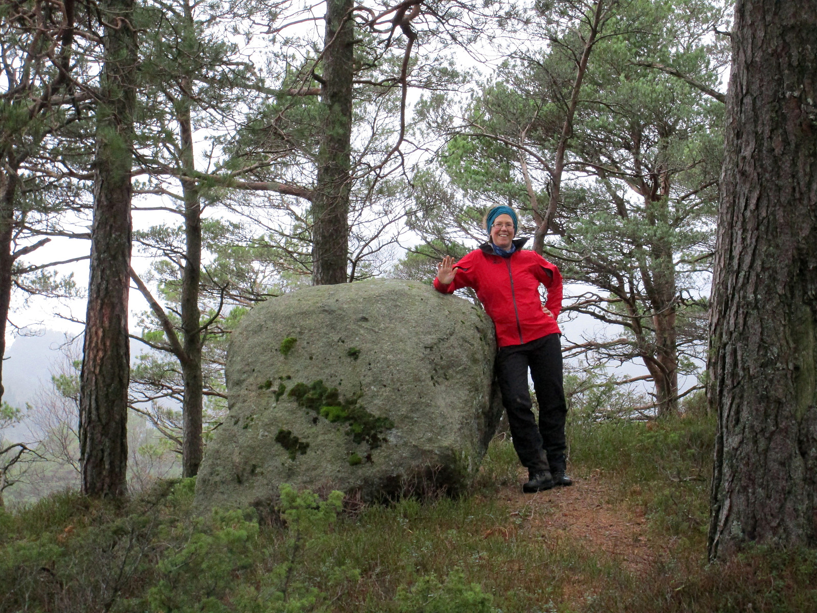 Even though the weather was not exactly nice, we still wished to get a bit of fresh air and thus started a our little walk from Varden in the south of Fyllingsdalen. We first "circled" the school at Varden, before we crossed over the football fields north of Varden. At this point, we decided to visit Hesjaholten, i.e., the hill next to the major buildings that have earned their name from it. We used a little passage between Hesjakollen 42 and 46 to get into Kanadaskogen. From there, it was only a question of a few minutes until we stood at the top of Hesjaholten (with a nice big rock on top!). From there, we then continued in northern direction, "collecting" one hill after another. This way, we rounded Bjørndalsvatnet, heading towards Træshovden on its northern side. >>>
