Arkiv - dato
Arkiv - aktivitet
-
Annen tur (1)
- Kajakkpadling (1)
-
Annen vintertur (3)
- Trugetur (3)
- Fottur (615)
-
Skitur (3)
- Fjellskitur (3)
-
Sykkeltur (94)
- Blandet sykling (22)
- Gatesykling (2)
Arkiv - Etter geografi
"Peakbookvenner"


Lister jeg samler etter
-
Bergen ≥ 50m pf. og ≥ 100 m.o.h.
(81/89)
 91%
91% -
Opptur Bergen
(98/113)
86%
-
De syv fjell rundt Bergen
(6/7)
85%
-
Most dominating tops of the Bergen peninsula
(63/75)
84%
-
Utvalgte topper og turmål i Bergen
(244/306)
79%
-
Sund ≥ 50m pf.
(14/18)
77%
-
Alle topper i Bergen
(272/350)
77%
-
Os ≥ 50m pf.
(23/34)
67%
-
Hytter og objekter i Byfjellene
(66/101)
65%
-
Midthordland PF>= 100m
(73/115)
63%

Lyderhorn biked&hiked
- Dato:
- 23.11.2019
- Turtype:
- Blandet sykling
- Turlengde:
- 2:30t
- Distanse:
- 16,6km
 This time, we decided to combine a little bike trip with a short hike up and down Lyderhorn. We started from Varden in the south of Fyllingsdalen and biked along Bjørgeveien into the direction of Loddefjord. After passing by Vestkanten at Loddefjord, we continued further northwards along Lyderhornveien in the west of Skarpafjellet. After crossing over the highway, we biked further upwards along Kjøkkelvikveien, passing by Kjøkkelvik school. We left our bikes at the place, where we met Lyderhornslien. From there, we hiked the main trail up in southeastern direction, heading towards Små-Lyderhorn, first. This time, we also took a few extra minutes to actually step up to the "top" of Små-Lyderhorn. There, we enjoyed a better view than expected, so it is in fact worthwhile >>>
Veten and Varden on Eldsfjellet
- Dato:
- 10.11.2019
- Turtype:
- Fottur
- Turlengde:
- 3:00t
- Distanse:
- 8,1km
 Starting from Bergen, we drove northwards, first, crossing over Nordhordlandsbrua on road E39. On the other side, instead of further following the main road, we turned left and onto road 564 that extends in northwestern direction on the southwestern side of Holsnøy. Eldsfjellet is found quite far in the northwest of Holsnøy and we aimed at parking near Skurtveit, only a bit after coming through Vikebø at Rosslandspollen. Close to Svehaugane, just a few meters up from the sea at Rosslandsvegen, we found a parking opportunity near a place, where apparently the bus also turns around. From there, we started our hike along Skurtveitvegen, first. We followed some minor roads to a point right in the south of Storatjørna from where a trail is starting in northern direction. Passing by Storatjørna >>>
Lyderhorn from Lyderhornsveien
- Dato:
- 03.11.2019
- Turtype:
- Fottur
- Turlengde:
- 2:00t
- Distanse:
- 4,2km
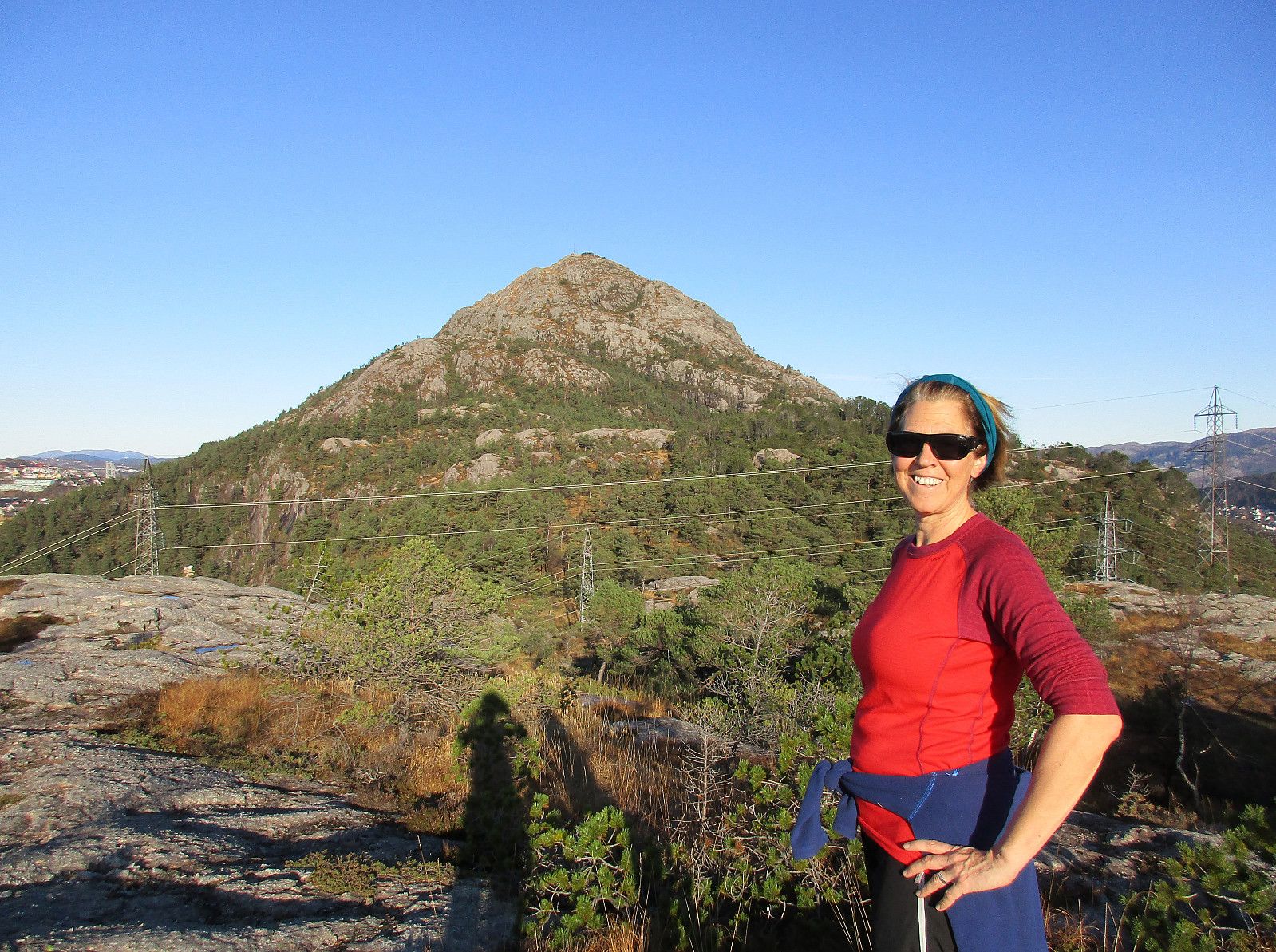 With a bit of time and a wonderful November Sunday, we headed for Lyderhorn to get some fresh air. In order to do at least a bit of new research, we decided to try a new ascent (via Skarpafjellet). We parked the car right next to Lyderhornsveien where also an animal clinic is found (near Lyderhornsveien 293). From there we had seen on the map that a trail should start and then lead diagonally upwards in southwestern direction (passing below some cliffs first), before one would be high enough to ascent further to Skarpafjellet (then in northern direction) without any major difficulties. When getting started, however, we got the impression that the owners of the property nearby the trail-head were clear in that they not wish anyone to actually use this trail. Not interested in having any >>>
