Archiv - Nach Datum
Archiv - Nach Aktivität
-
Andere Tour (2)
- Kayaking (2)
-
Fahrradtour (98)
- Fahrradtour Straße (75)
- Fahrradtour gemischt (23)
-
Fahrzeugtour (6)
- Autotour (6)
-
Fußtour (1481)
- Bergtour (902)
- Jogging (1)
- Spaziergang (40)
- Wanderung (538)
-
Skitour (98)
- Langlauf (39)
- Tourenskilauf (59)
Gesammelte Listen
-
Utvalgte topper og turmål i Bergen
(301/306)
 98%
98% -
Øytopper Hordaland
(26/27)
96%
-
Alle topper i Bergen
(335/350)
95%
-
Vaksdal ≥ 100m pf.
(59/63)
93%
-
Søyler (fastmerker) i Bergen
(91/100)
91%
-
Nordhordland PF >= 100m
(198/221)
89%
-
Fitjar ≥ 100m pf.
(6/7)
85%
-
Opptur Hordaland
(133/159)
83%
-
Modalen ≥ 100m pf.
(23/30)
76%
-
Hordaland ≥ 500m pf.
(23/30)
76%
-
Masfjorden ≥ 100m pf.
(42/55)
76%
-
Kvam ≥ 100m pf.
(32/44)
72%
-
Stasjoner på Bergensbanen
(26/36)
72%
-
Voss ≥ 100m pf.
(67/97)
69%
-
Hordaland ≥ 100m pf.
(501/862)
58%
-
Dagsturhyttene i Vestland
(31/60)
51%
-
Sunnhordland PF >= 100m
(82/186)
44%
-
DNT-hytter i Hordaland
(18/45)
40%
-
Kvinnherad ≥ 100m pf.
(26/79)
32%
-
Hordaland: Hardanger PF>=100m
(116/357)
32%

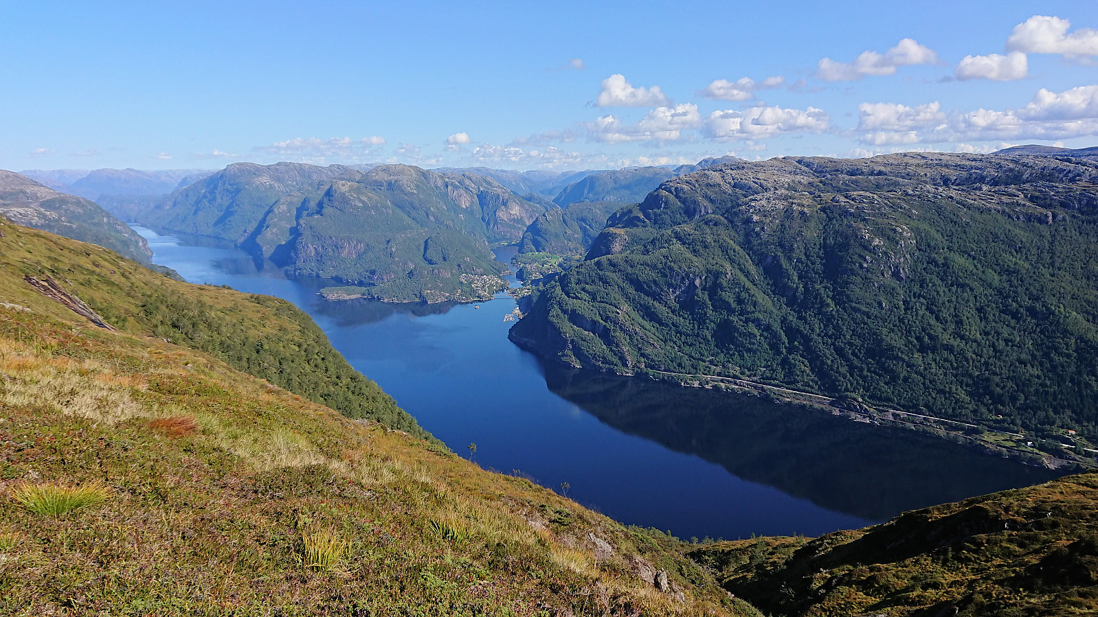
Rispingen, Raudskredbruna, Olsnesnipa and Olsnessåta
- Datum:
- 31.08.2018
- Tourcharakter:
- Bergtour
- Tourlänge:
- 6:14h
- Entfernung:
- 15,7km
 Raudskredvarden and Rispingen
From the parking lot at Båtaleite we followed the marked trail towards Rispingen . The trail started out a bit wet, but soon greatly improved. At Raudskredvarden we enjoyed the excellent views towards Stanghelle, before continuing to Rispingen for a short lunch break.
Raudskredbruna
On the way back, we made a quick detour to Raudskredbruna , which provided nice views, but probably not essential for most hikers. No trails to Raudskredbruna as far as we could see, but the terrain was straightforward to traverse.
Olsnesnipa and Olsnessåta
After reconnecting with the trail, we followed it down towards the parking lot, until realizing that this was probably not necessary, and instead headed directly towards the trail to Olsnesnipa and Olsnessåta . In hindsight, we should probably have made this shortcut sooner.
We lost the trail briefly on our way to Olsnesnipa, >>>
Raudskredvarden and Rispingen
From the parking lot at Båtaleite we followed the marked trail towards Rispingen . The trail started out a bit wet, but soon greatly improved. At Raudskredvarden we enjoyed the excellent views towards Stanghelle, before continuing to Rispingen for a short lunch break.
Raudskredbruna
On the way back, we made a quick detour to Raudskredbruna , which provided nice views, but probably not essential for most hikers. No trails to Raudskredbruna as far as we could see, but the terrain was straightforward to traverse.
Olsnesnipa and Olsnessåta
After reconnecting with the trail, we followed it down towards the parking lot, until realizing that this was probably not necessary, and instead headed directly towards the trail to Olsnesnipa and Olsnessåta . In hindsight, we should probably have made this shortcut sooner.
We lost the trail briefly on our way to Olsnesnipa, >>>
Furukammen and Hellen festning
- Datum:
- 30.08.2018
- Tourcharakter:
- Wanderung
- Tourlänge:
- 0:33h
- Entfernung:
- 2,3km
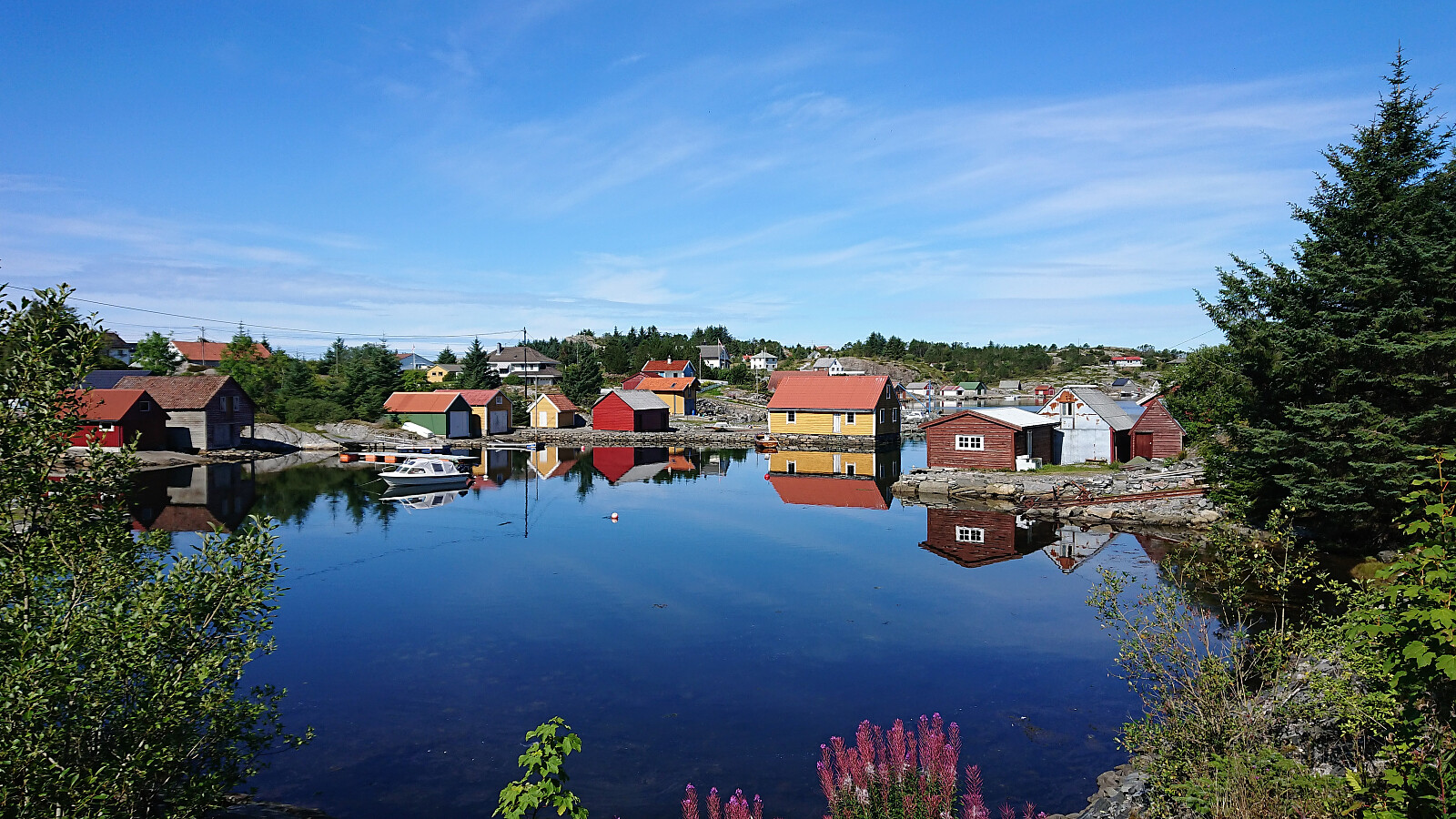
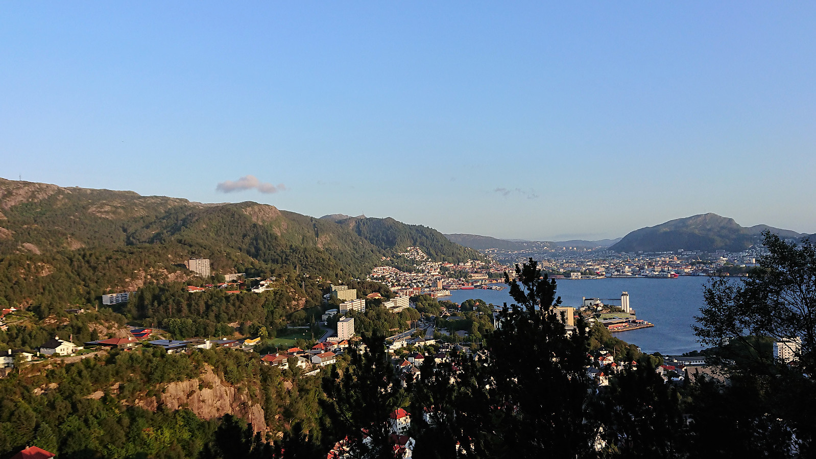 Short local hike from Øyjorden to Lønborg across Hellen festning.
Gent, Belgium
- Datum:
- 28.08.2018
- Tourcharakter:
- Spaziergang
- Entfernung:
- 7,3km
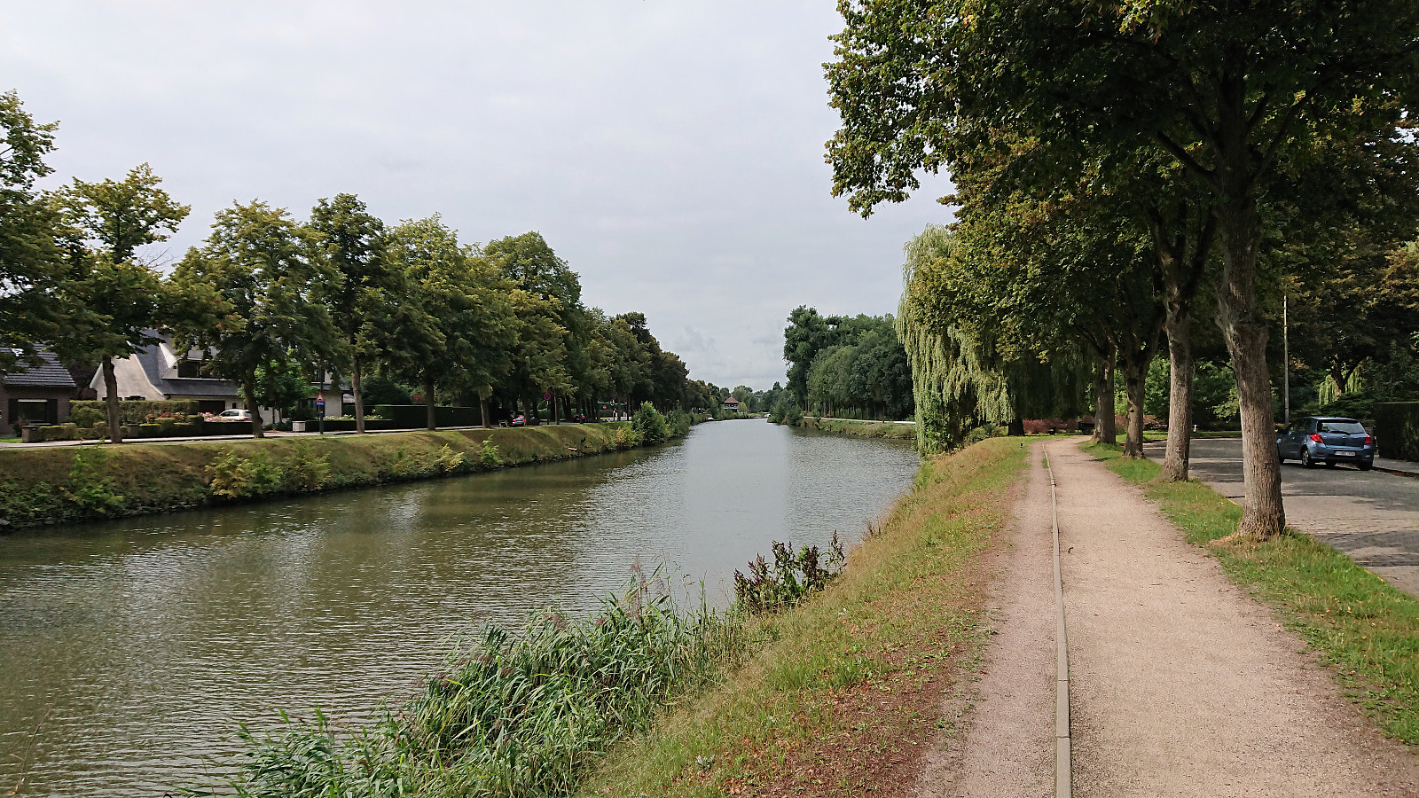 Short city walk when visiting Gent for a PhD defense.
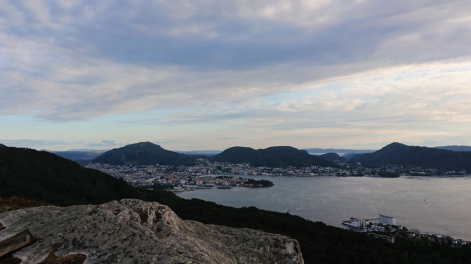
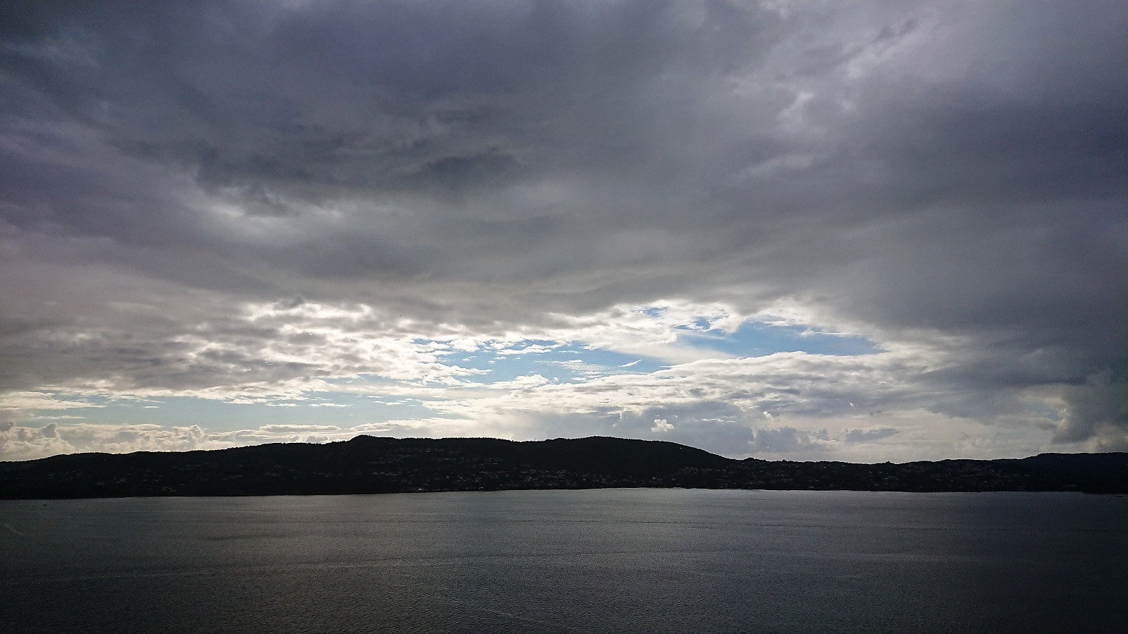
Fløysvingene, Blåmanen, Rundemanen and Jordalsskaret
- Datum:
- 26.08.2018
- Tourcharakter:
- Bergtour
- Tourlänge:
- 3:43h
- Entfernung:
- 17,5km
 Rather traditional-looking Sunday hike via Fløysvingene, Brushytten, Blåmanen and Rundemanen, perhaps with the exception of the more unusual detour down Jordalsskaret.
Langevatnet and Munkebotsvatnet
- Datum:
- 23.08.2018
- Tourcharakter:
- Bergtour
- Tourlänge:
- 1:49h
- Entfernung:
- 8,1km
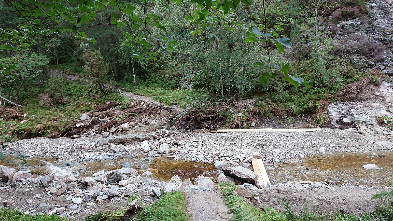 Local hike mainly to see the results of the temporary dam at Munkebotsvatnet failing the previous evening.
Ørneberget and Orretua
- Datum:
- 21.08.2018
- Tourcharakter:
- Bergtour
- Tourlänge:
- 2:00h
- Entfernung:
- 7,8km
 Local hike across Ørneberget and Orretua after work.
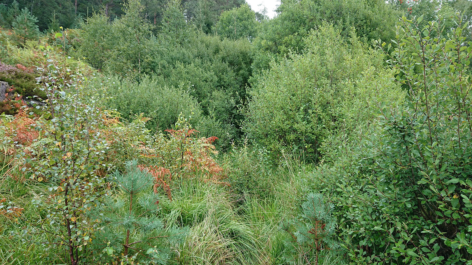
Byrkjefjellet and Iendafjellet
- Datum:
- 19.08.2018
- Tourcharakter:
- Bergtour
- Tourlänge:
- 5:47h
- Entfernung:
- 16,8km
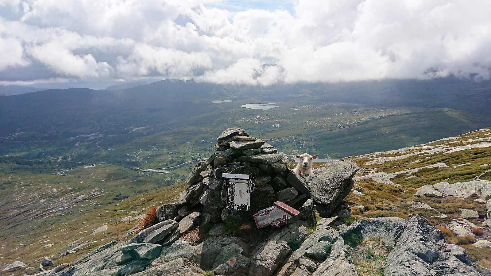 Byrkjefjellet
Started by taking the bus to Kvamskogen and getting off at the bus stop Wallemtunet. From there I followed the gravel road northwest, looking for one of the many trailheads indicated on the map. As far as I could see there were no marked trails for Byrkjefjellet (or any other locations for that matter) and the ones I looked at were all equally wet. This did however greatly improve as the trail turned north. Here it also connected with another trail coming up from the south (which I decided to try on the descent).
From here, the trail was overall easy to follow until reaching the small cairn southeast of the 996 hill south of the summit, which provided very nice views. The summit itself was however further north, and, as far as I could tell, blocked by a cliff. I knew there was supposed to be >>>
Byrkjefjellet
Started by taking the bus to Kvamskogen and getting off at the bus stop Wallemtunet. From there I followed the gravel road northwest, looking for one of the many trailheads indicated on the map. As far as I could see there were no marked trails for Byrkjefjellet (or any other locations for that matter) and the ones I looked at were all equally wet. This did however greatly improve as the trail turned north. Here it also connected with another trail coming up from the south (which I decided to try on the descent).
From here, the trail was overall easy to follow until reaching the small cairn southeast of the 996 hill south of the summit, which provided very nice views. The summit itself was however further north, and, as far as I could tell, blocked by a cliff. I knew there was supposed to be >>>
Across Hellen festning
- Datum:
- 17.08.2018
- Tourcharakter:
- Wanderung
- Tourlänge:
- 0:35h
- Entfernung:
- 3,3km
 Short local hike across Hellen festning in the rain.
Hodnakletten and Myrsfjellet
- Datum:
- 15.08.2018
- Tourcharakter:
- Bergtour
- Tourlänge:
- 3:40h
- Entfernung:
- 13,0km
 Hodnakletten
After reading several trip reports talking about coming across a marked trail on their way to Hodnakletten , I decided to do some digging and found this suggested hike at ut.no: Hodnekletten frå byggefeltet på Myking , referring to a marked trail with wet areas that could be followed all the way to the western summit of Hodnakletten. So I decided to give it a try.
Started by taking the bus to Myking, getting off at the last stop referred to as "Myking, butikken", and from there found my way to the trailhead indicated in the above trip suggestion. As detailed at ut.no, the trail started right to the west of the last house on the north side of the road, and I walked up the short gravel road next to the house hoping to there locate the start of a trail.
But instead of an easy to follow tractor road (which is what was indicated >>>
Hodnakletten
After reading several trip reports talking about coming across a marked trail on their way to Hodnakletten , I decided to do some digging and found this suggested hike at ut.no: Hodnekletten frå byggefeltet på Myking , referring to a marked trail with wet areas that could be followed all the way to the western summit of Hodnakletten. So I decided to give it a try.
Started by taking the bus to Myking, getting off at the last stop referred to as "Myking, butikken", and from there found my way to the trailhead indicated in the above trip suggestion. As detailed at ut.no, the trail started right to the west of the last house on the north side of the road, and I walked up the short gravel road next to the house hoping to there locate the start of a trail.
But instead of an easy to follow tractor road (which is what was indicated >>>
Anekletten, Jurfedthaugen and Vikåsen
- Datum:
- 14.08.2018
- Tourcharakter:
- Bergtour
- Tourlänge:
- 3:21h
- Entfernung:
- 12,8km
 Started by taking the bus to Stegavika and from there walking north along the road until turning east at Norlavatnet. We were now on Nordsjøløypa, which could easily be followed all the way to the summit of Anekletten . Anekletten provided excellent views, especially given that we were only 60 meters above sea level.
From the summit we continued west to the main road and then south along Toftevågen, and finally west towards the remains of the old wave power plant at Kalvøyna. Here we had a quick lunch break before taking a closer look at what was left of the power plant. Next, we headed south for a quick visit to Jurfedthaugen .
Upon reaching the road we followed it shortly northeast, before heading north, and later west, along the marked trail to Vikåsen . Also here the views were very nice, despite being even lower than >>>
Started by taking the bus to Stegavika and from there walking north along the road until turning east at Norlavatnet. We were now on Nordsjøløypa, which could easily be followed all the way to the summit of Anekletten . Anekletten provided excellent views, especially given that we were only 60 meters above sea level.
From the summit we continued west to the main road and then south along Toftevågen, and finally west towards the remains of the old wave power plant at Kalvøyna. Here we had a quick lunch break before taking a closer look at what was left of the power plant. Next, we headed south for a quick visit to Jurfedthaugen .
Upon reaching the road we followed it shortly northeast, before heading north, and later west, along the marked trail to Vikåsen . Also here the views were very nice, despite being even lower than >>>
