
Vestre Låghellerhøgdene, Storhaugane and Søre Grøndalsnuten (25.07.2025)

Skrevet av hbar (Harald Barsnes)

| Startsted | Hallingskeid stasjon (1111moh) |
|---|---|
| Sluttsted | Hallingskeid stasjon (1111moh) |
| Turtype | Fjelltur |
| Turlengde | 7t 08min |
| Distanse | 23,0km |
| Høydemeter | 1153m |
| GPS |
|
| Bestigninger | Vestre Låghellerhøgdene (1452moh) | 25.07.2025 12:33 |
|---|---|---|
| Larsaslahøgdi (1413moh) | 25.07.2025 13:42 | |
| Storhaugane (1432moh) | 25.07.2025 14:25 | |
| Storhaugane Vest (1428moh) | 25.07.2025 15:08 | |
| Søre Grøndalsnuten (1383moh) | 25.07.2025 15:59 | |
| Andre besøkte PBE'er | Hallingskeid stasjon (1111moh) | 25.07.2025 10:18 |
| Moldo helårsbro (1032moh) | 25.07.2025 17:03 |
Vestre Låghellerhøgdene, Storhaugane and Søre Grøndalsnuten
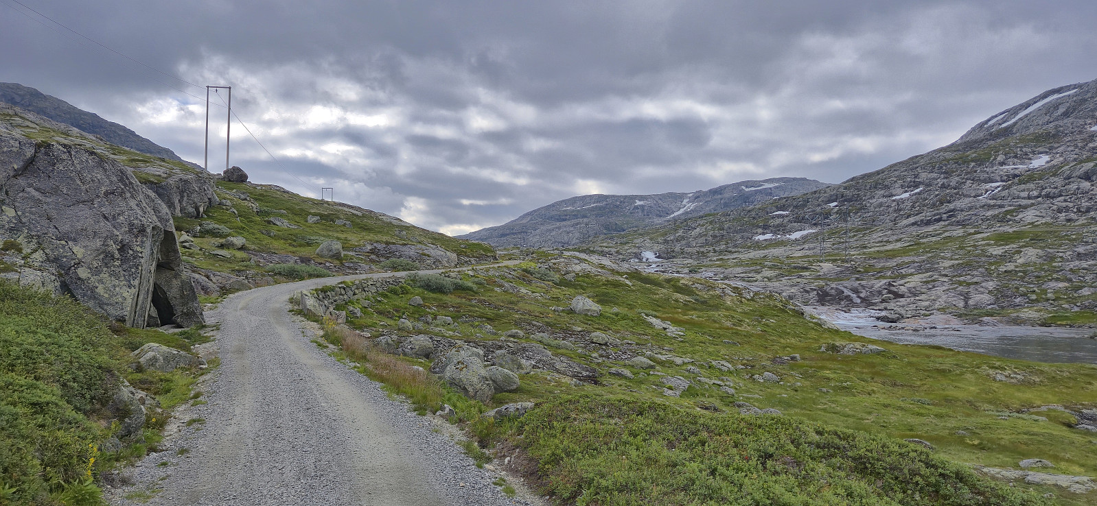
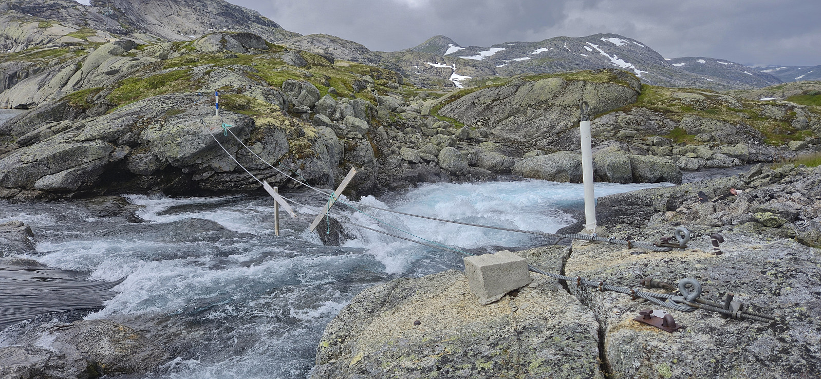
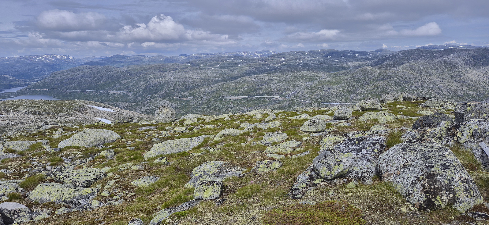
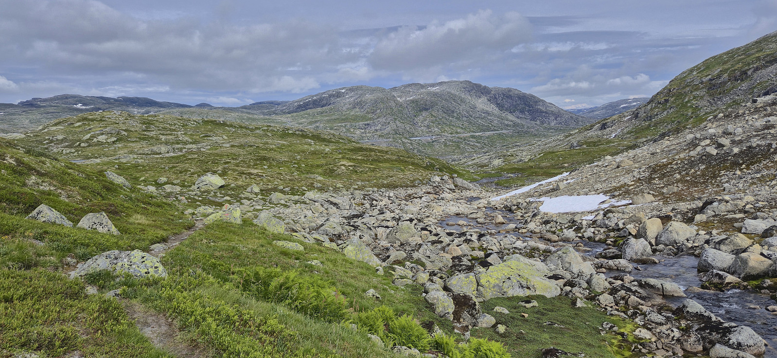
After getting off the train at Hallingskeid, I continued southeast along Rallarvegen with the goal to cross the river via a bridge between Låghellervatnet and Høghellervatnet that I had spotted on the map. However, upon arriving it became clear that this crossing was not going to happen. All that was left of the bridge were the two supporting wires. There was nothing to do but continue east to find another place to cross.
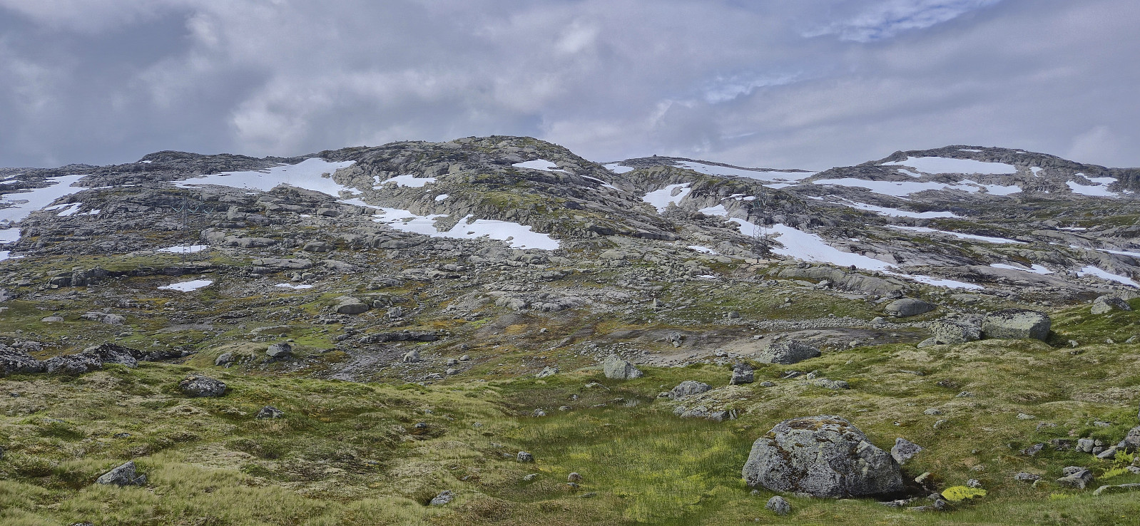
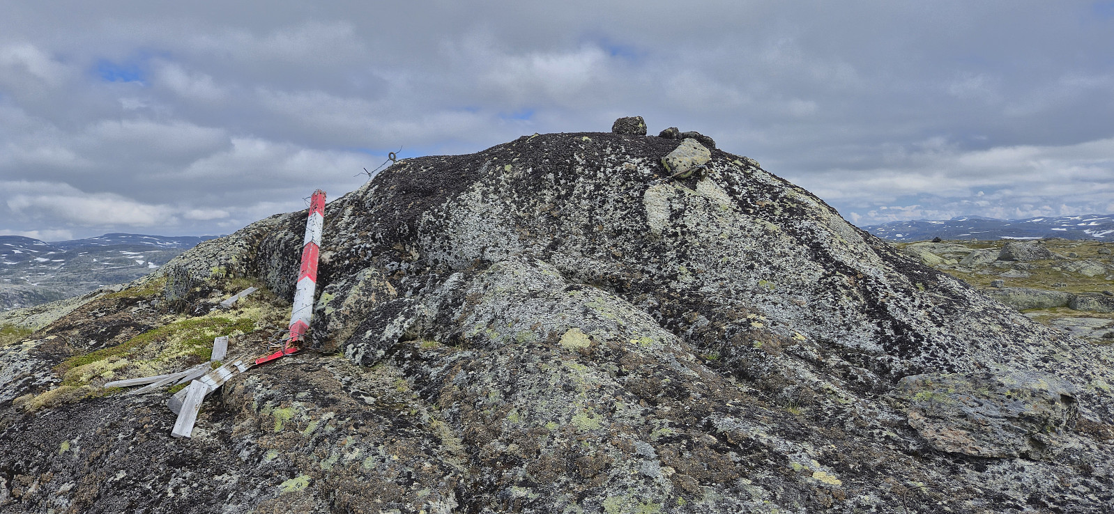
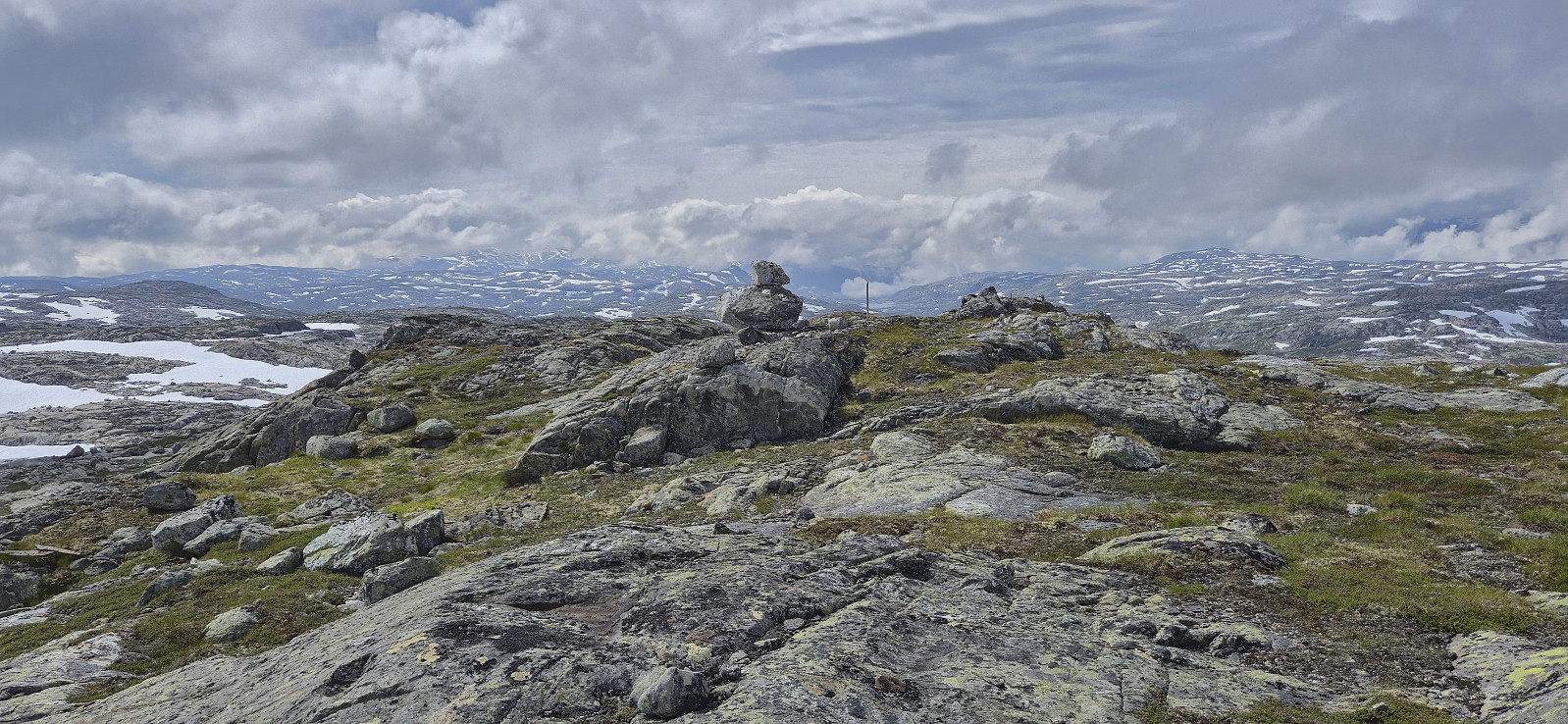
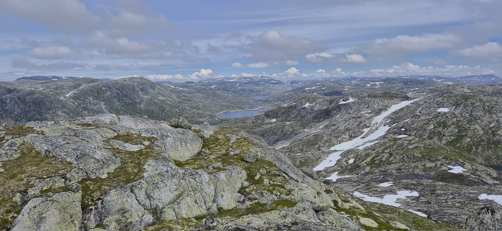
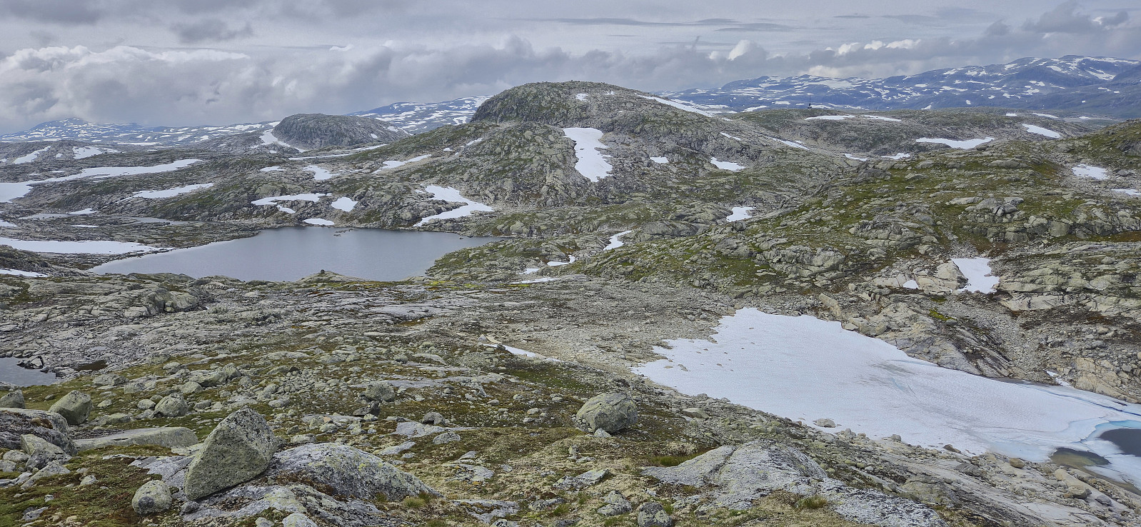
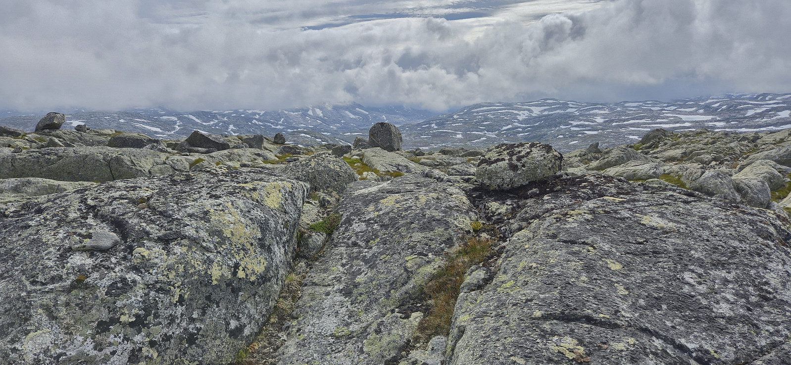
North of Låghellerbotnen I left the gravel road and after fording a small stream I could finally start my ascent to Vestre Låghellerhøgdene. The off-trail ascent to the summit was straightforward. I made sure to visit both competing highest points, with the eastern one being ever so slightly higher (maybe only 1 cm?) while the western one contained the remains of a fallen down trig marker.
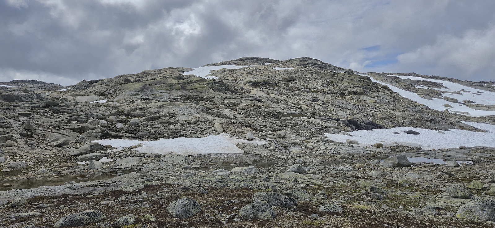
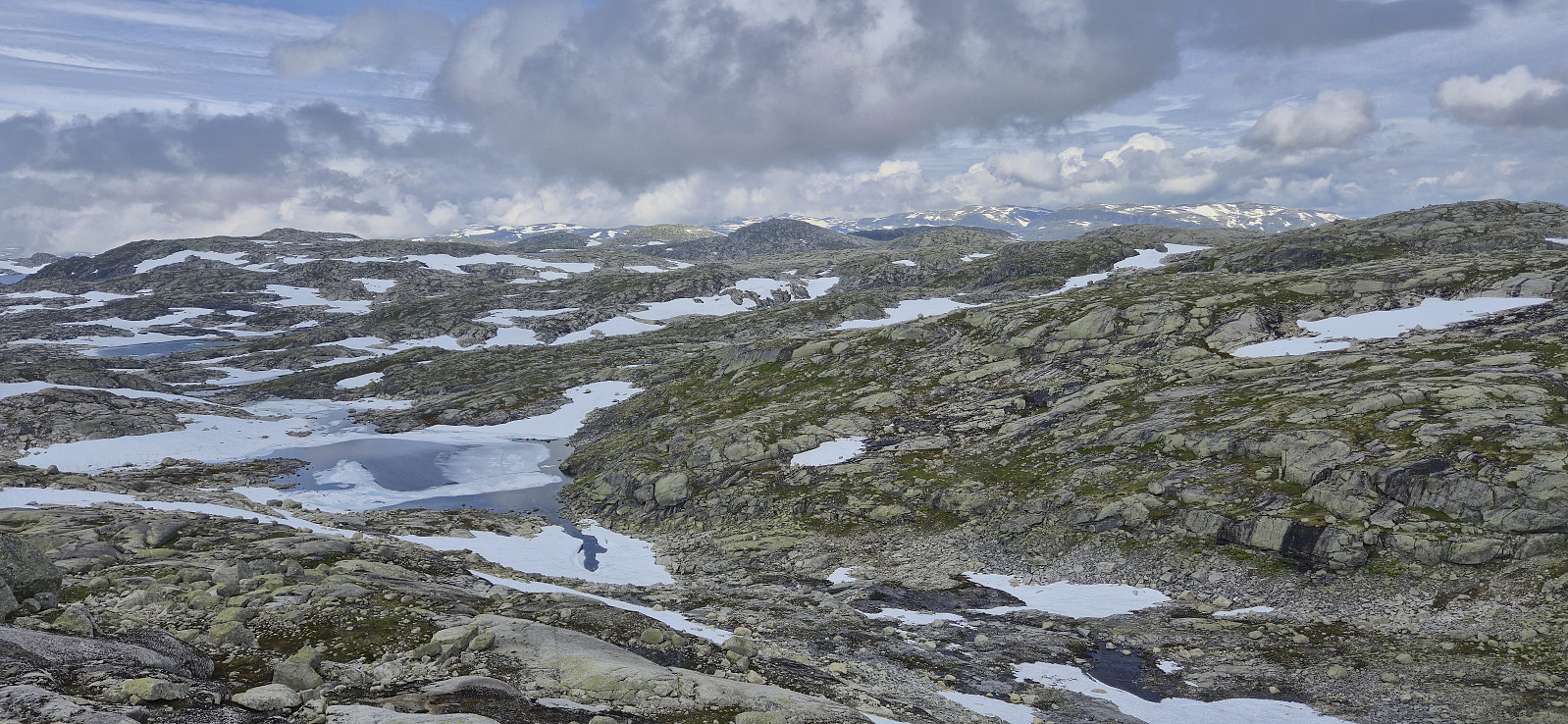
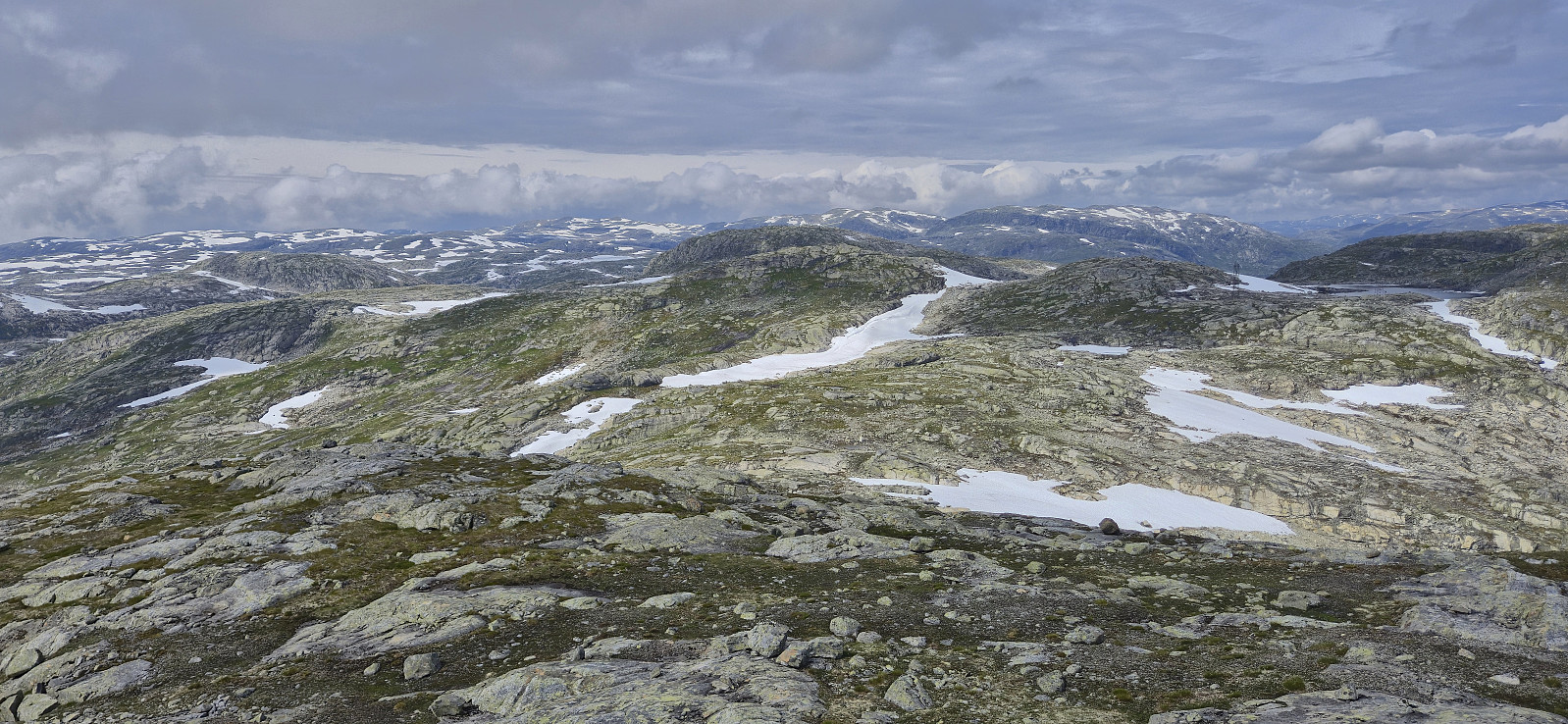
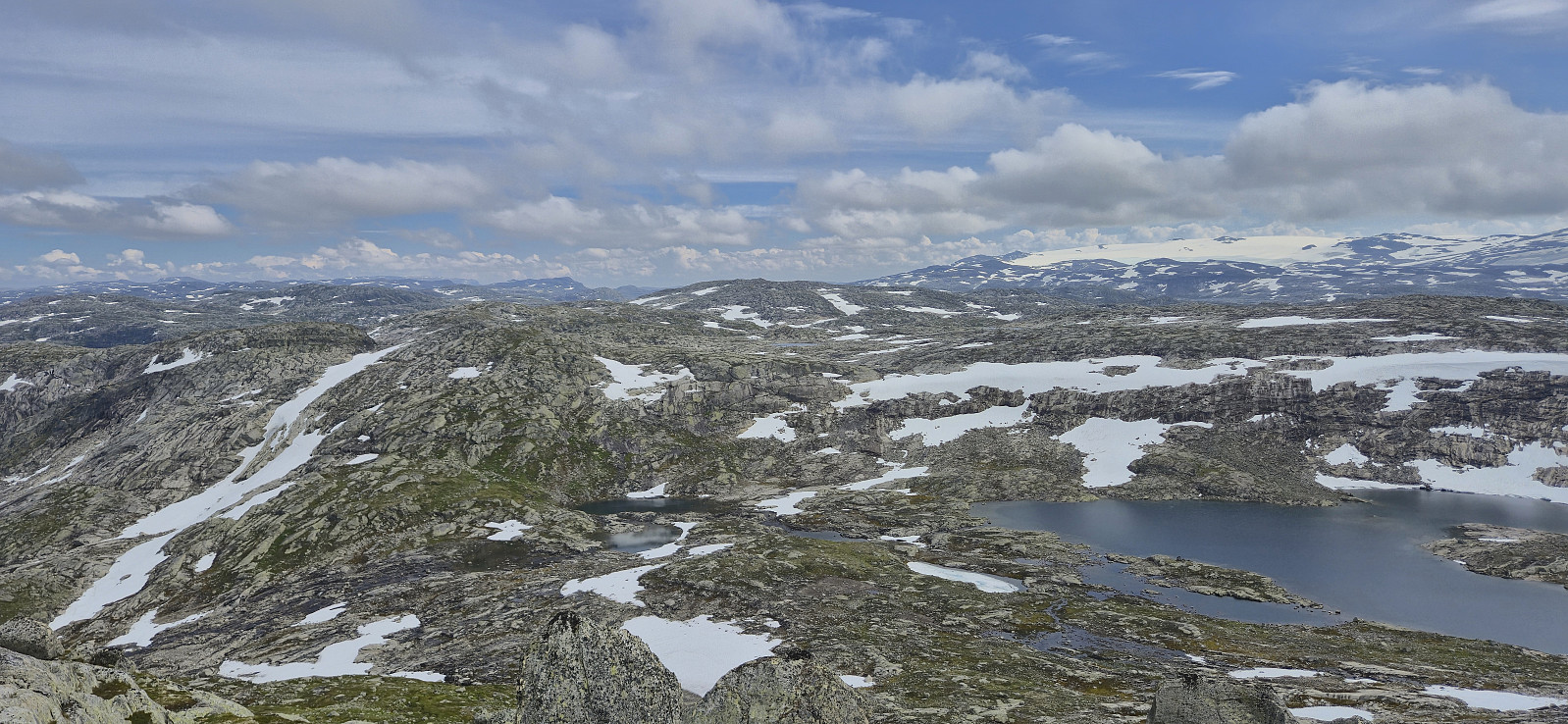
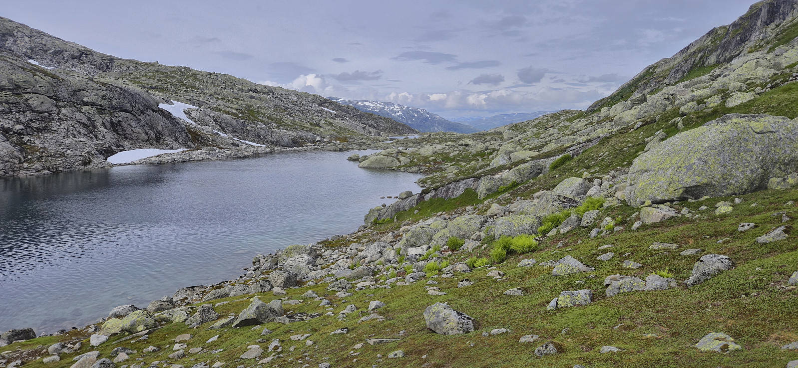
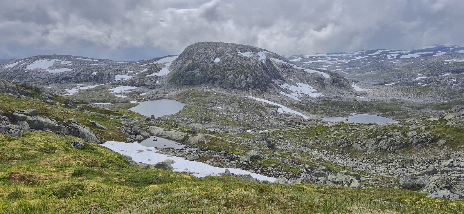
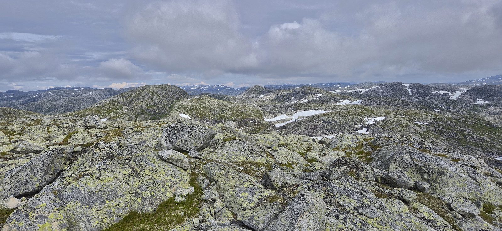
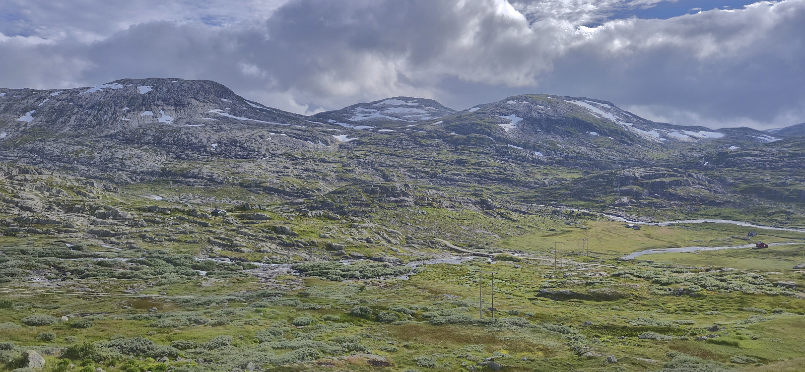
I turned my attention westward and headed in the direction of Storhaugane via Larsaslahøgdi. This did not present any real challenges however there were lots of micro terrain that had to be carefully navigated. After a short break at Larsaslahøgdi, I descended north into the valley and then completed the ascent to the summit of Storhaugane. Some easy scrambling towards the end, although this can probably be avoided if choosing a different route.
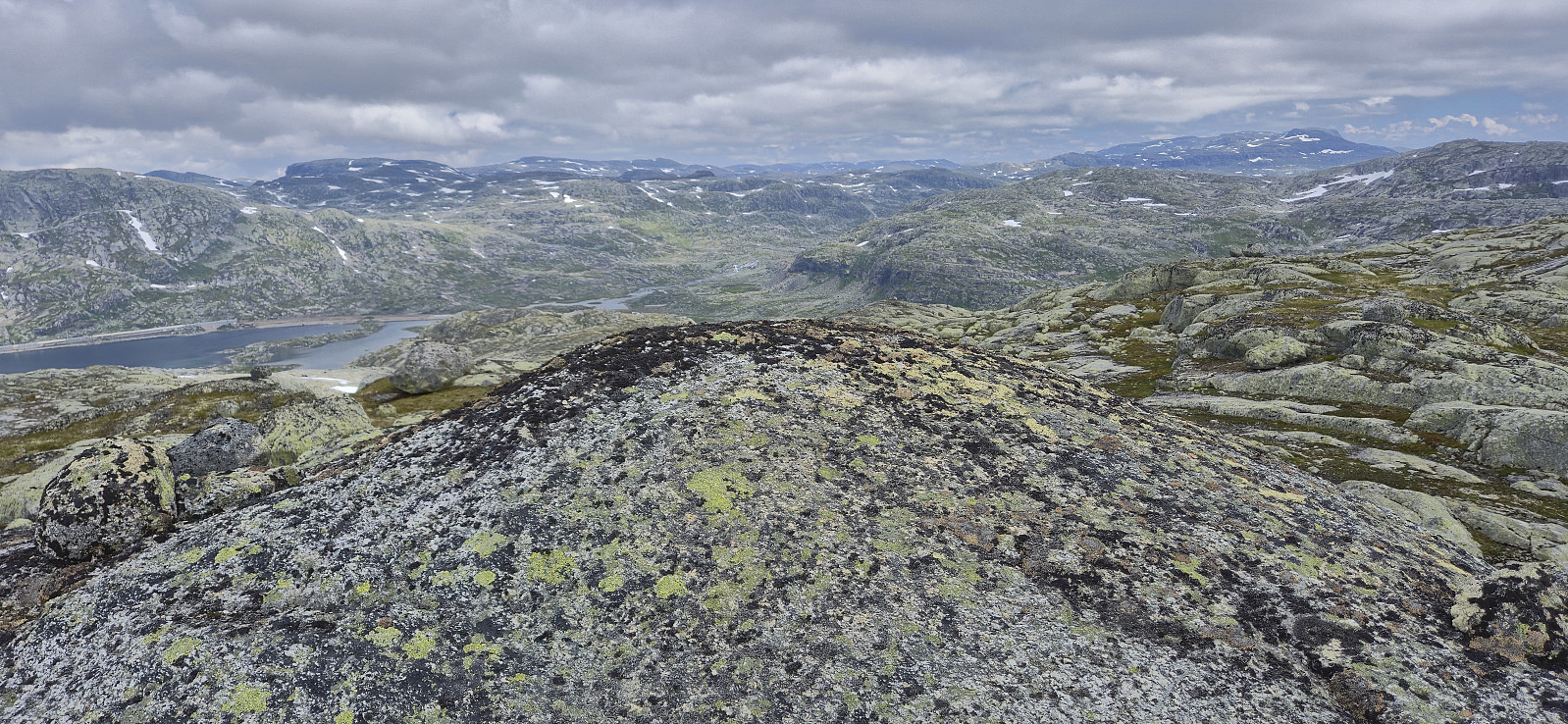
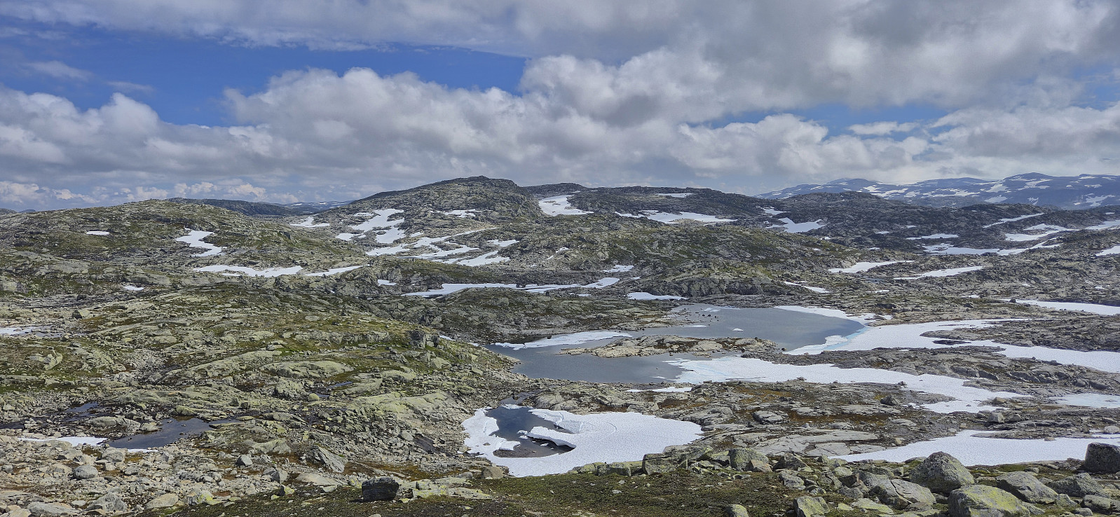
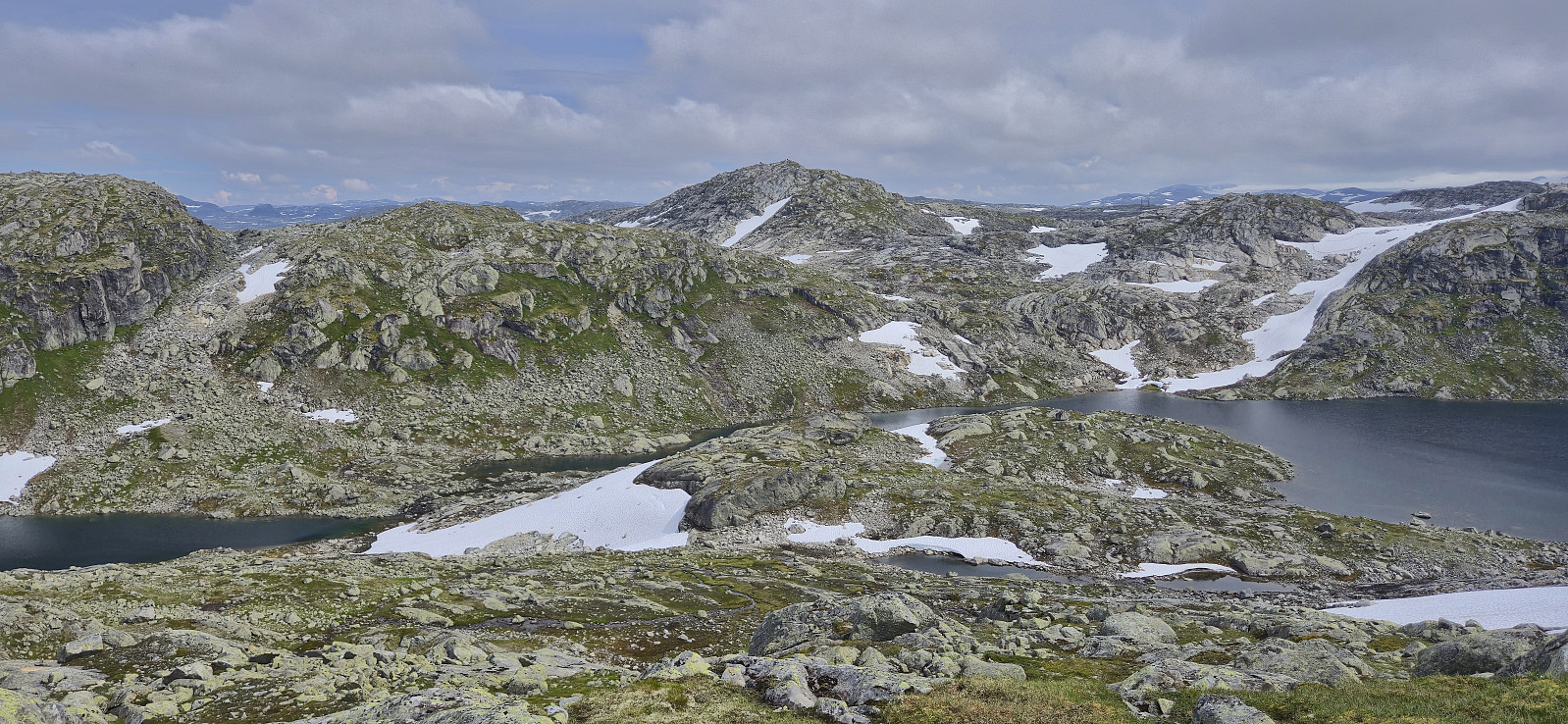
Next, I descended west to the unnamed 1229 lake before ascending to Storhaugane Vest, neither of which provided any issues when navigating correctly. Also at Storhaugane Vest there were a couple of competing summits, of which I of course simply visited all of them.
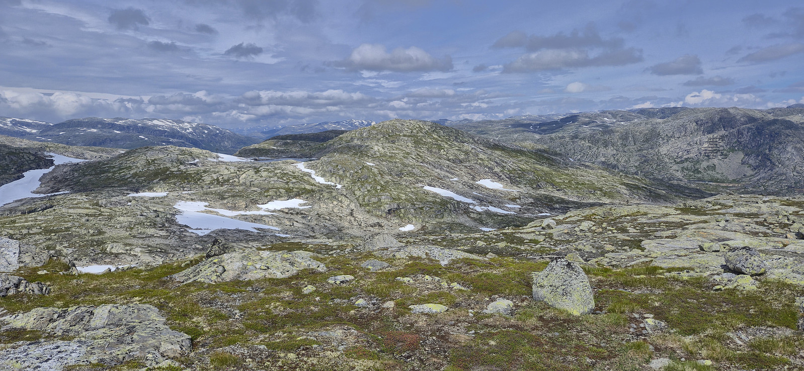
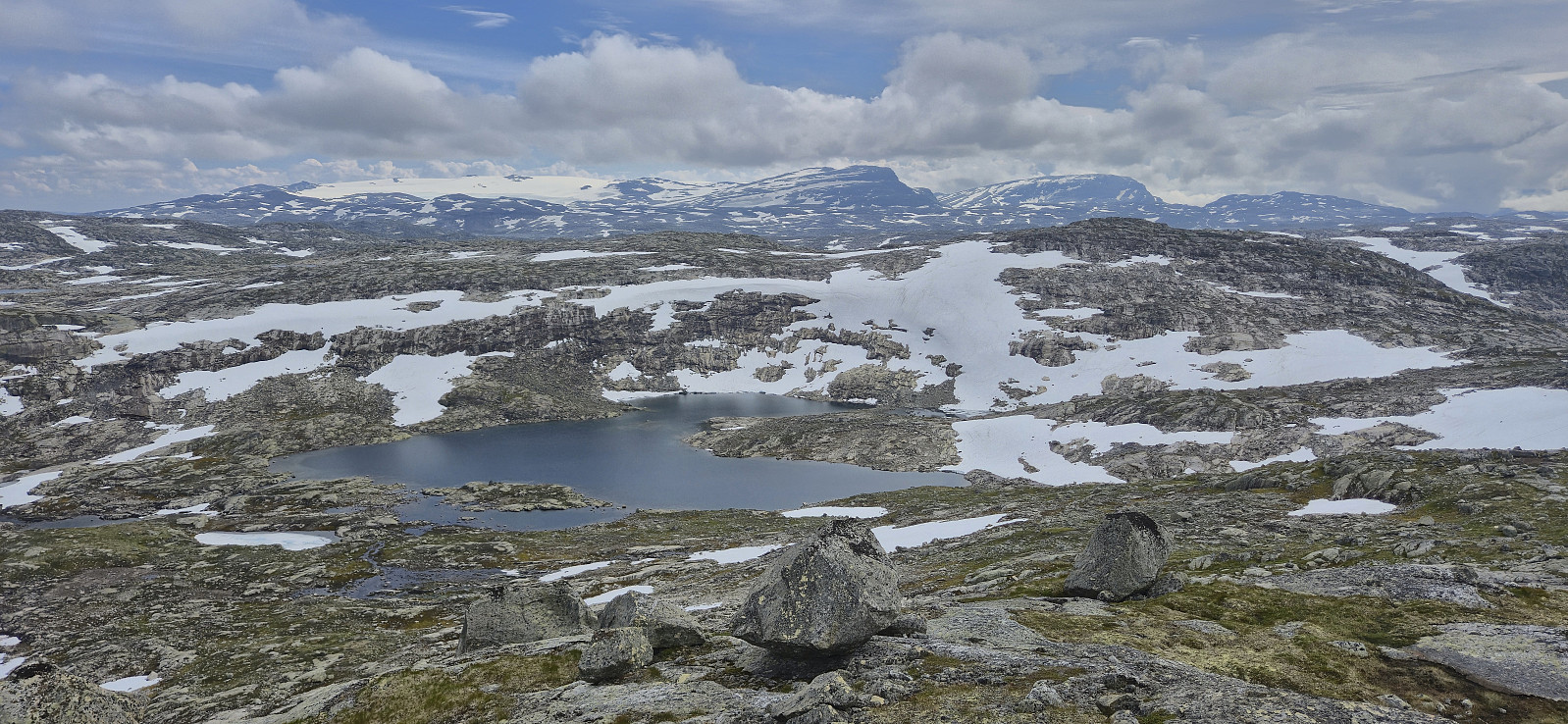
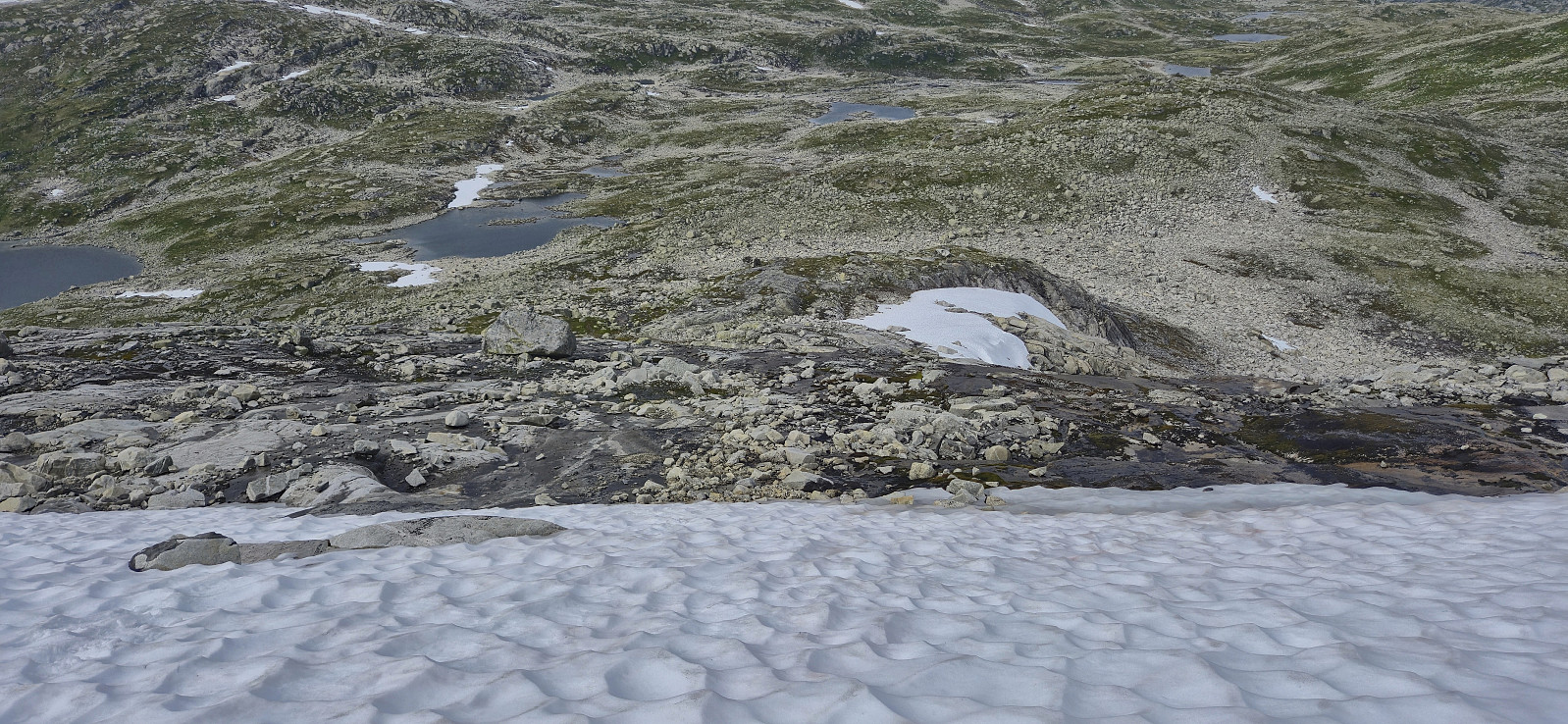
Partly due to the earlier issue of the missing bridge, I now concluded that I would not be able to catch the first of my two train options back to Bergen. But just as I was about to cancel my ticket, I noticed that the train was one hour delayed from Oslo, meaning that I should be able to make it after all! I therefore increased my speed and descended into the valley to the west from where I started the ascent to Søre Grøndalsnuten.
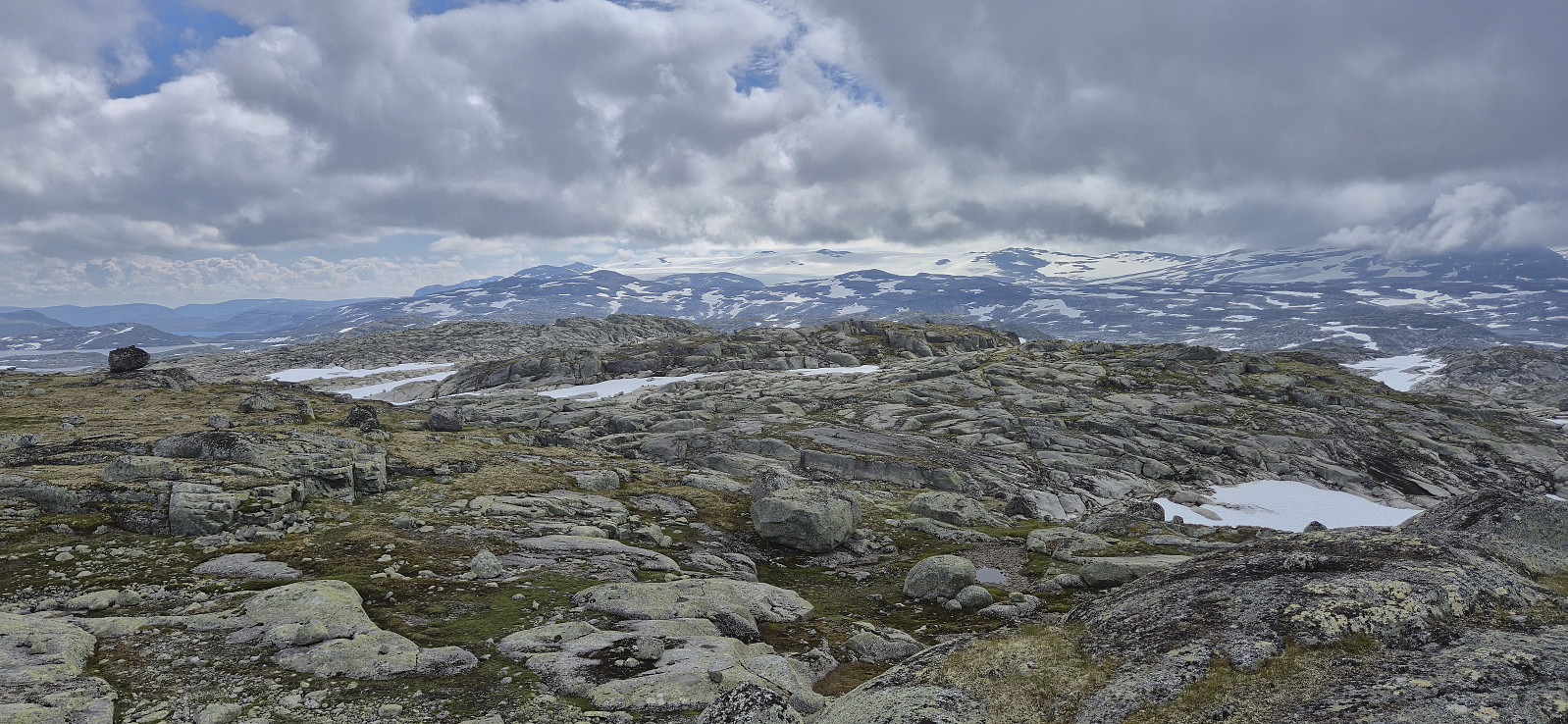
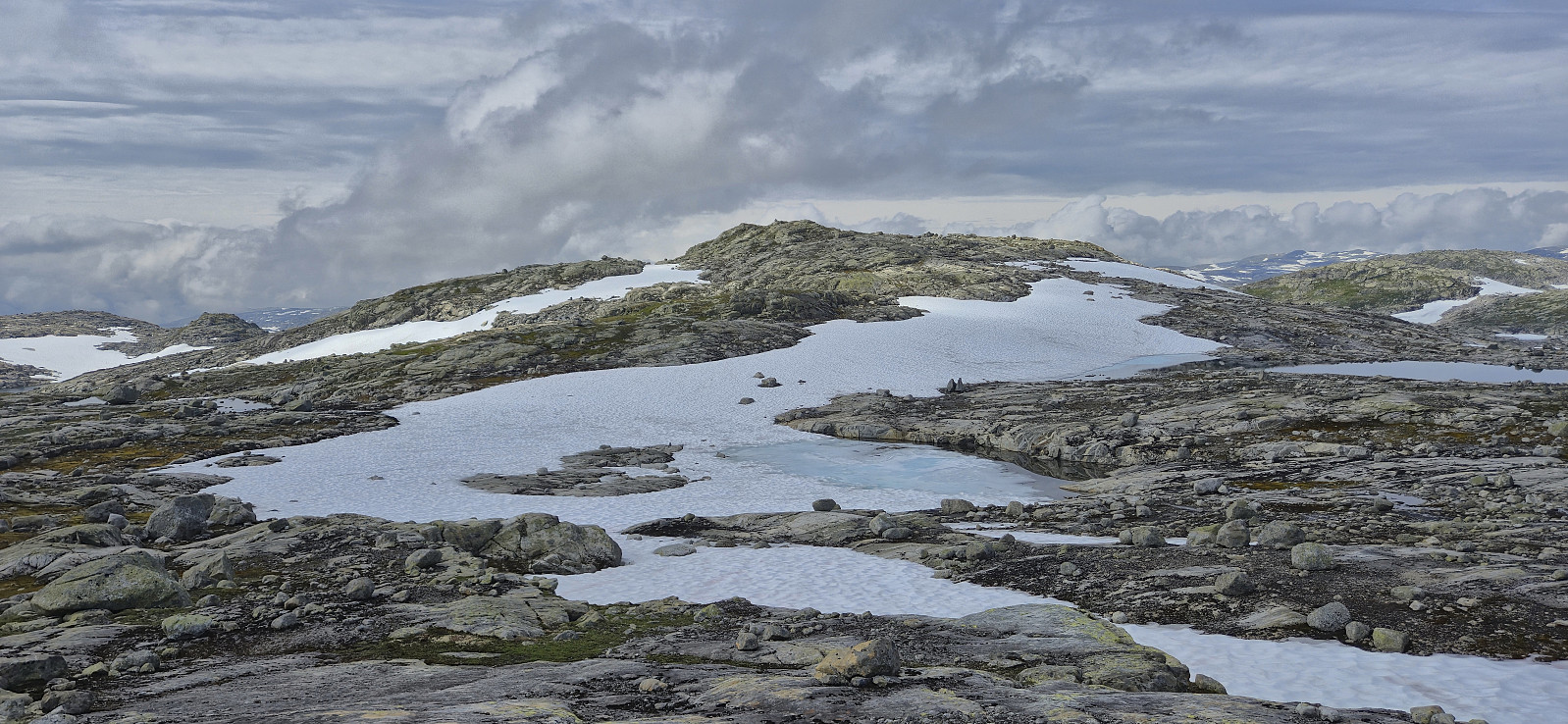
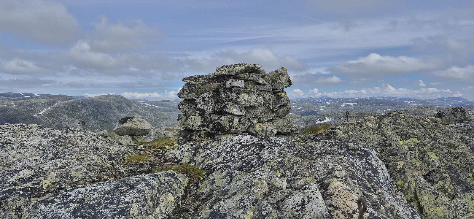
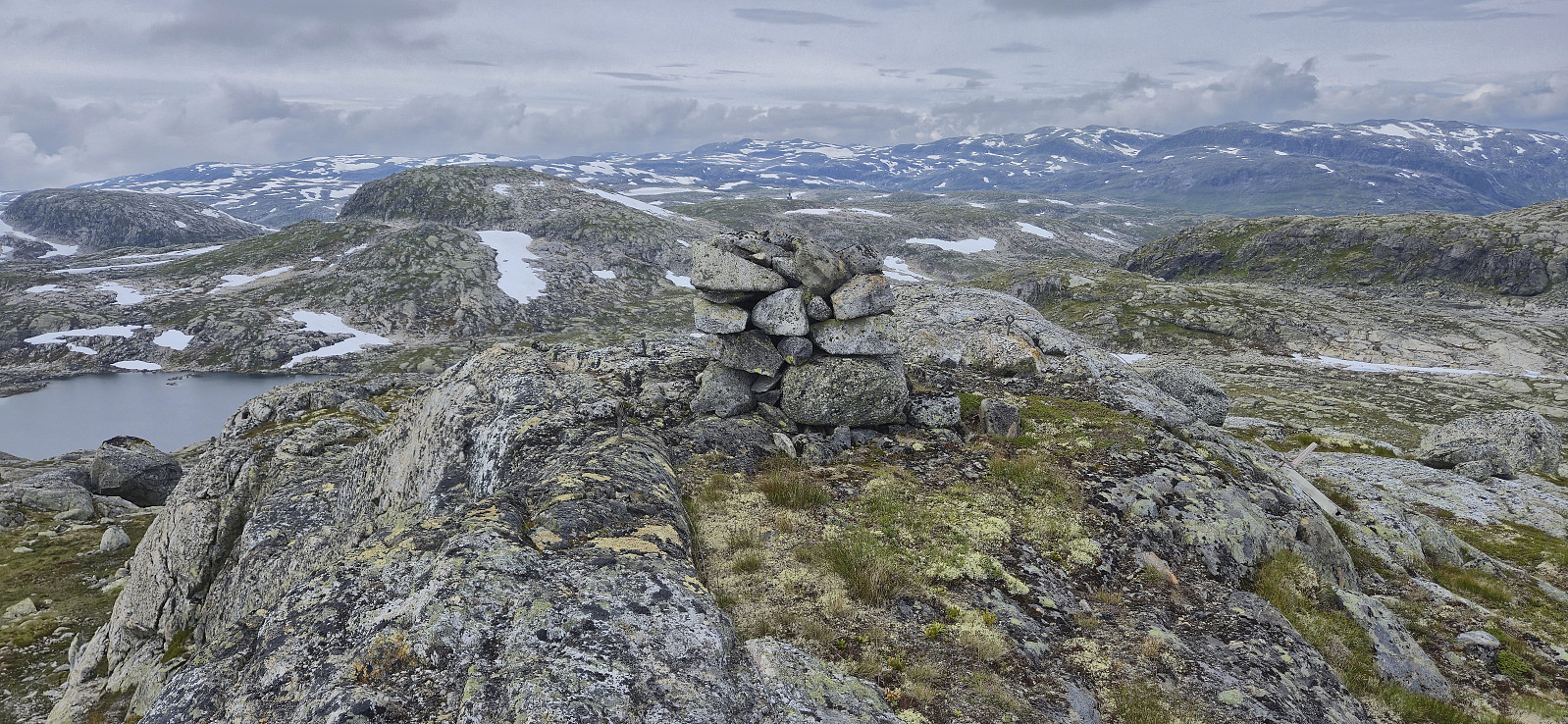
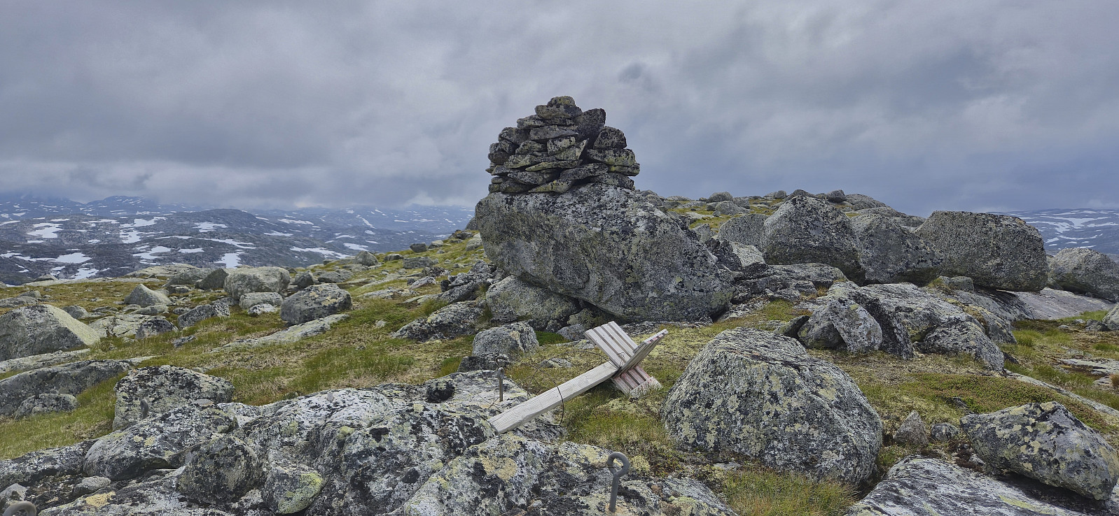
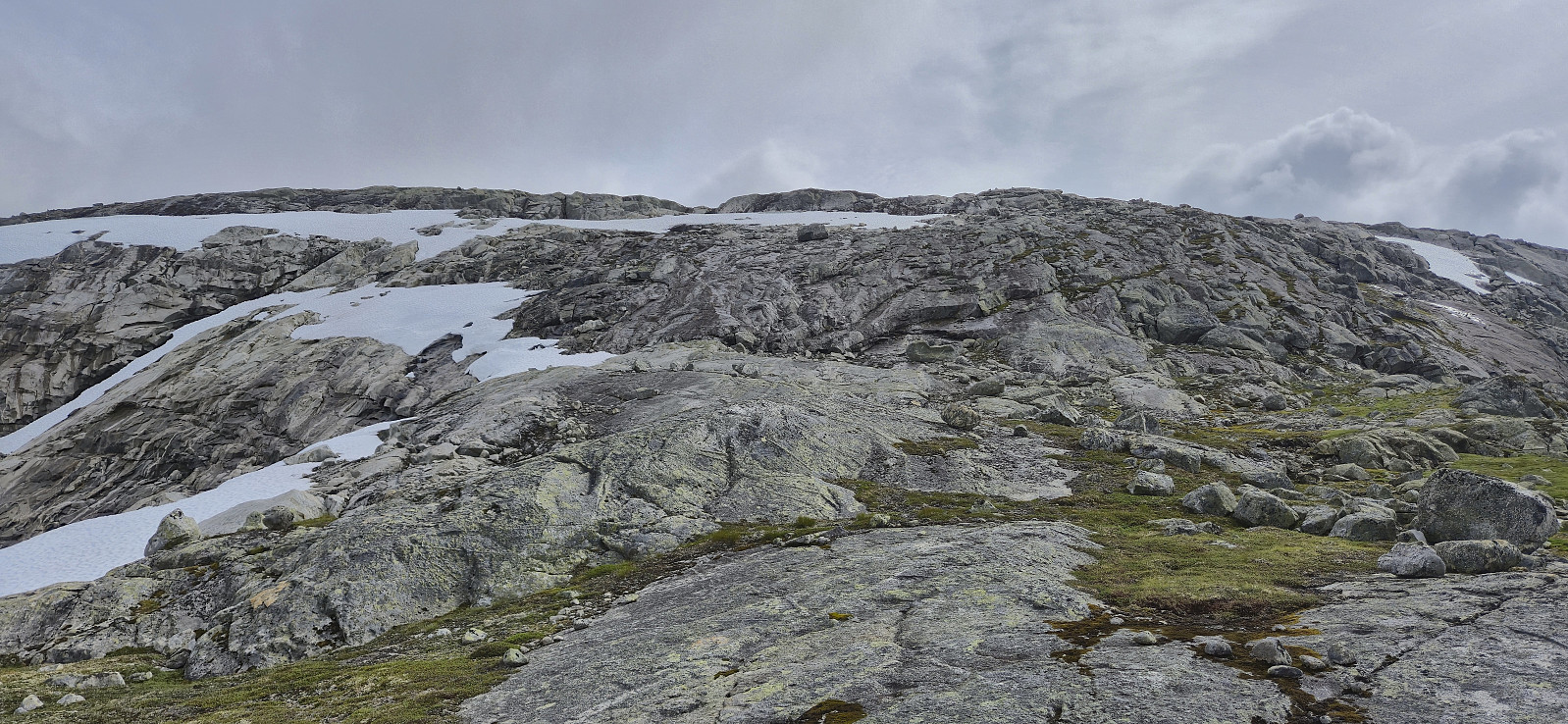
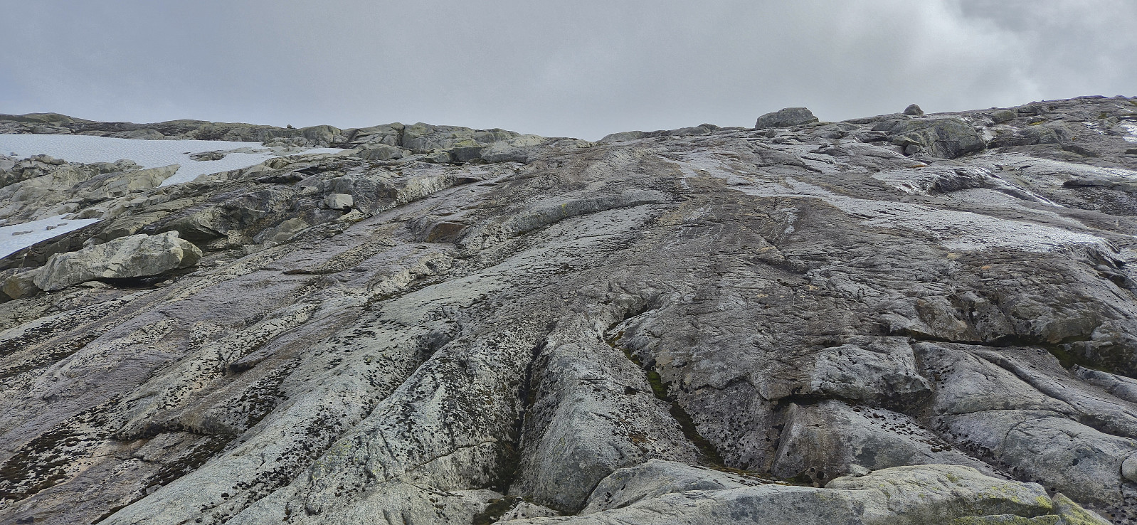
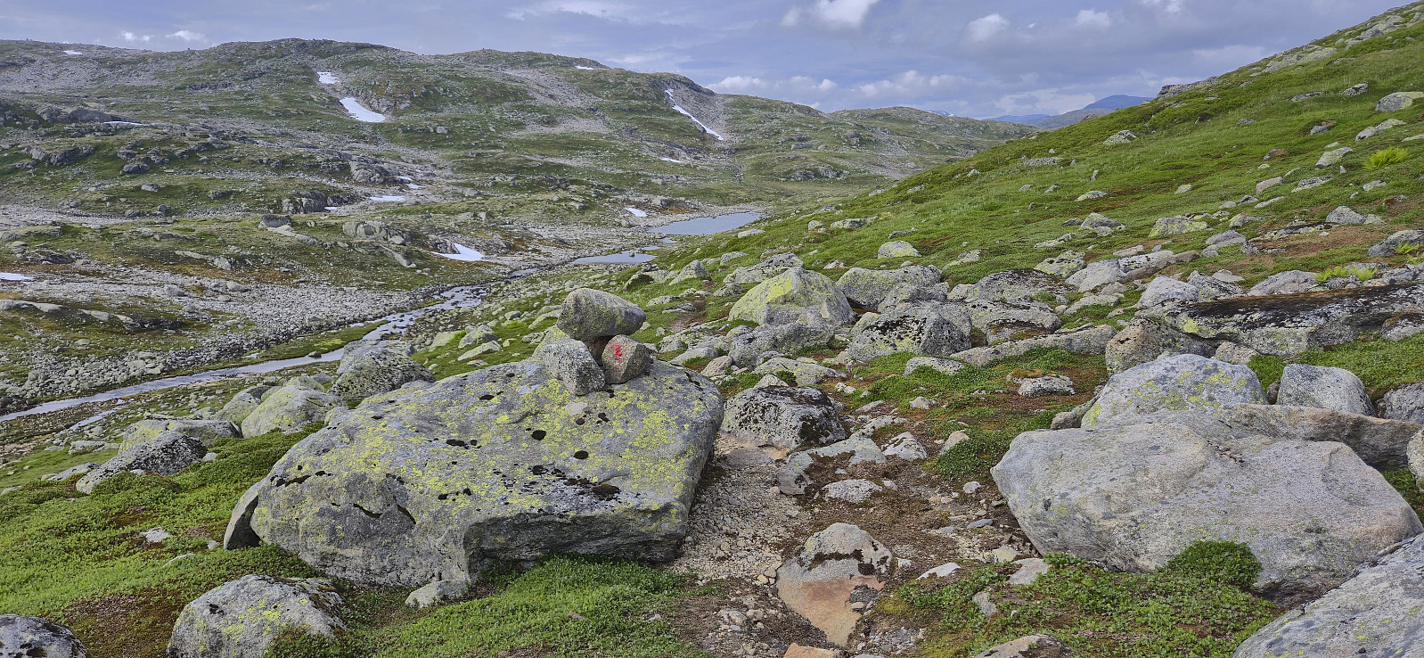
Most of the ascent to Søre Grøndalsnuten was straightforward, however there was a steepish section towards the middle where care had to be taken and that probably would have been much more difficult if the exposed stone surfaces were wet. By doing this section slowly, I safely made it to the flatter summit area where I once again visited several competing highest points, before descending along the same route.
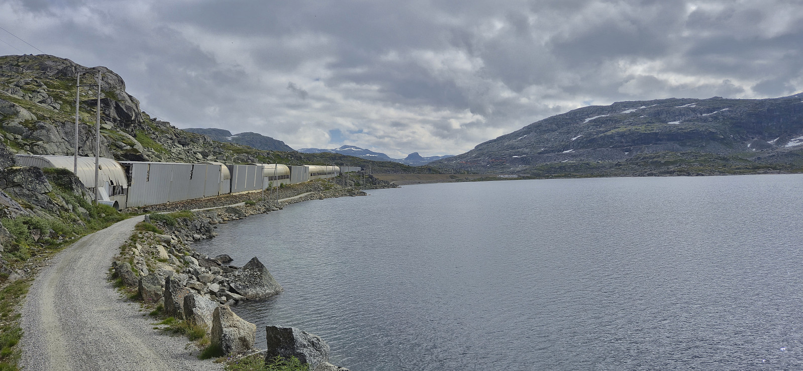
With the Vy app indicating that the train was still going to be almost one hour late, I had plenty of time to get to Hallingskeid, especially as it did not take long before I connected with the marked trail, which I then followed east along the river back to the station. When I got there I still had almost half an hour to spare.
To conclude, a roundtrip from Hallingskeid via Vestre Låghellerhøgdene, Storhaugane and Søre Grøndalsnuten can easily be done and provides excellent views along the way. No difficult sections, perhaps maybe part of the ascent to Søre Grøndalsnuten if wet or icy. And do not bet on using the bridge between Låghellervatnet and Høghellervatnet. ;)


| Starttidspunkt | 25.07.2025 10:18 (UTC+01:00 ST) |
| Sluttidspunkt | 25.07.2025 17:27 (UTC+01:00 ST) |
| Totaltid | 7t 08min |
| Bevegelsestid | 6t 19min |
| Pausetid | 0t 48min |
| Snittfart totalt | 3,2km/t |
| Snittfart bevegelsestid | 3,6km/t |
| Distanse | 23,0km |
| Høydemeter | 1152m |


Kommentarer