
Nice round on Herdla (16.02.2025)

Written by HHauser (Helwig Hauser)

| Start point | Herdla church (10m) |
|---|---|
| Endpoint | Herdla church (10m) |
| Characteristic | Hike |
| Duration | 2h 30min |
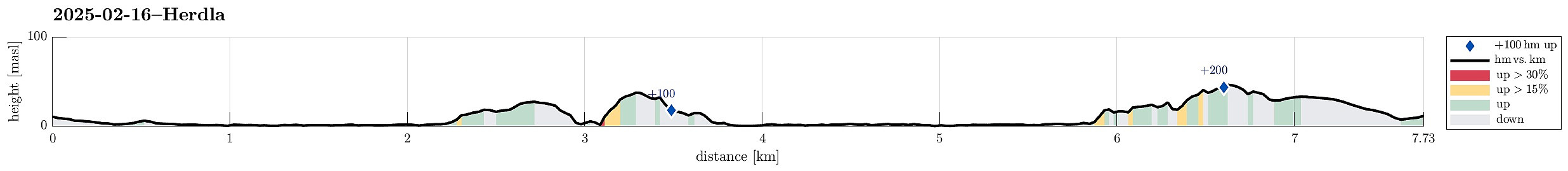
| Distance | 7.7km |
| Vertical meters | 214m |
| GPS |
|
| Ascents | Nordre Signalen (52m) | 16.02.2025 |
|---|---|---|
| Småkalvsøyna (29m) | 16.02.2025 | |
| Storekalvsøyna (41m) | 16.02.2025 | |
| Visits of other PBEs | Grinda 1817 (22m) | 16.02.2025 |
| Herdla fugletårn (2m) | 16.02.2025 | |
| Nordre Signalen utsiktspunkt (48m) | 16.02.2025 |
Trip Summary
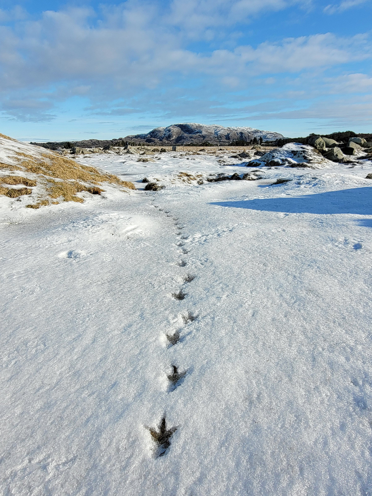
With yet another sunny day on the horizon, we thought that visiting Herdla (after a long time again) would be nice. We thus drove across Askøy and parked near the church of Herdla. We then walked along Herdlevegen to get first to Valen. After following the "inner" shoreline (to Herdlevågen), we followed a historic access road up Småkalvsøyna, exploring some of the still present WWII positions there. From the southeastern "top" of Småkalvsøyna, we then aimed directly at Storakalvsøyna, right in the east of Småkalvsøyna. This brought us to the southeastern end of Paddehola, offering some nice views from there. We also crossed over the south end of this isthmus, enjoying some additional nice views also from there. From there, we then found a reasonable way up to the "top" of Storekalvsøyna (off-trail, but OK). From several spots, we tried to get a best-possible view over to Eldsfjellet, but more often than not, some trees blocked parts of the view. Once back down (then in the north of Paddehola), we started to enough the north shore of Ytste Valen. Given the freezing temperatures, walking along the shoreline was just perfect. Once "back" at Heimste Valen, we found an easy route up to Herdleåsen. After walking around Nordre Signalen, we spotted an interesting looking "bridge" between the northern-most hill and Nordre Signalen. Of course, we immediately headed closer to have a look. Crossing over this "bridge" was then coupled with a bit of extra adrenalin in the blood, especially also given the icy conditions. Continuing further southwards required some additional (minor) climibing, which also would be less "exciting" without snow and ice on the rocks. Continuing further south from the highest spot turned out to be a tiny bit less straight-forward than previously possible due to a fallen trees etc. Still, no major obstacles obstructed the procedure to reconnect with Herdleåsen. From there, it was then just to follow the road down to the parked car. Even though this day did not come with much hiking (and certainly not with many height meters), we still returned highly satisfied, especially because of the nice sunny weather! :-)
Photos
Selected photos are available as Google photo album.
Useful Resources
See also the related FB-page Hiking around Bergen, Norway.


User comments