
Jøkulrunden on May 17th! (17.05.2024)

Geschrieben von hbar (Harald Barsnes)

| Startpunkt | Finse stasjon (1.222m) |
|---|---|
| Endpunkt | Finse stasjon (1.222m) |
| Tourcharakter | Tourenskilauf |
| Tourlänge | 4h 46min |
| Entfernung | 22,5km |
| Höhenmeter | 703m |
| GPS |
|
| Besteigungen | Hardangerjøkulen (1.861m) | 17.05.2024 |
|---|---|---|
| Punkt på Hardangerjøkulen (1.861m) | 17.05.2024 | |
| Besuche anderer PBE | Appelsinhytta (1.353m) | 17.05.2024 |
| Finse stasjon (1.222m) | 17.05.2024 | |
| Jøkulhytta (1.790m) | 17.05.2024 |
Jøkulrunden on May 17th!
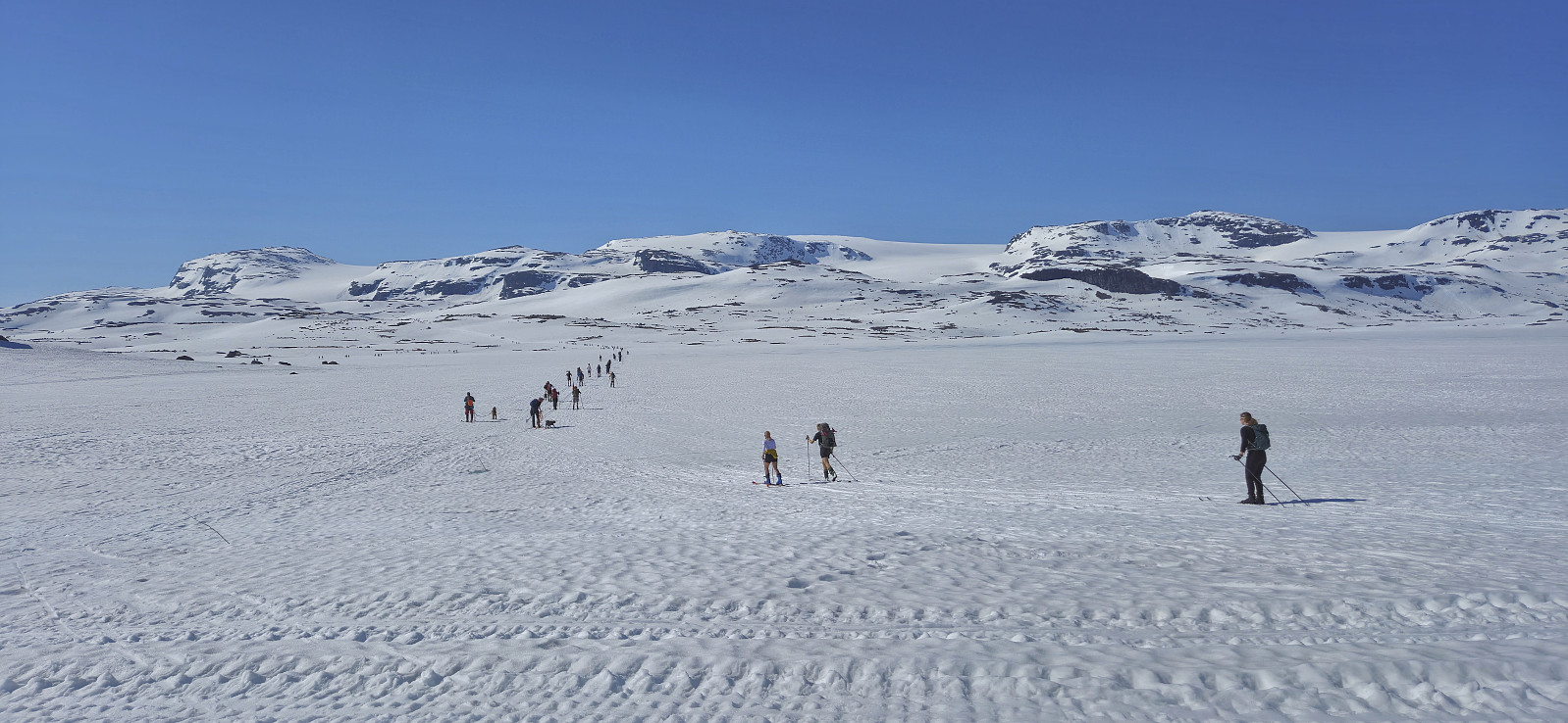
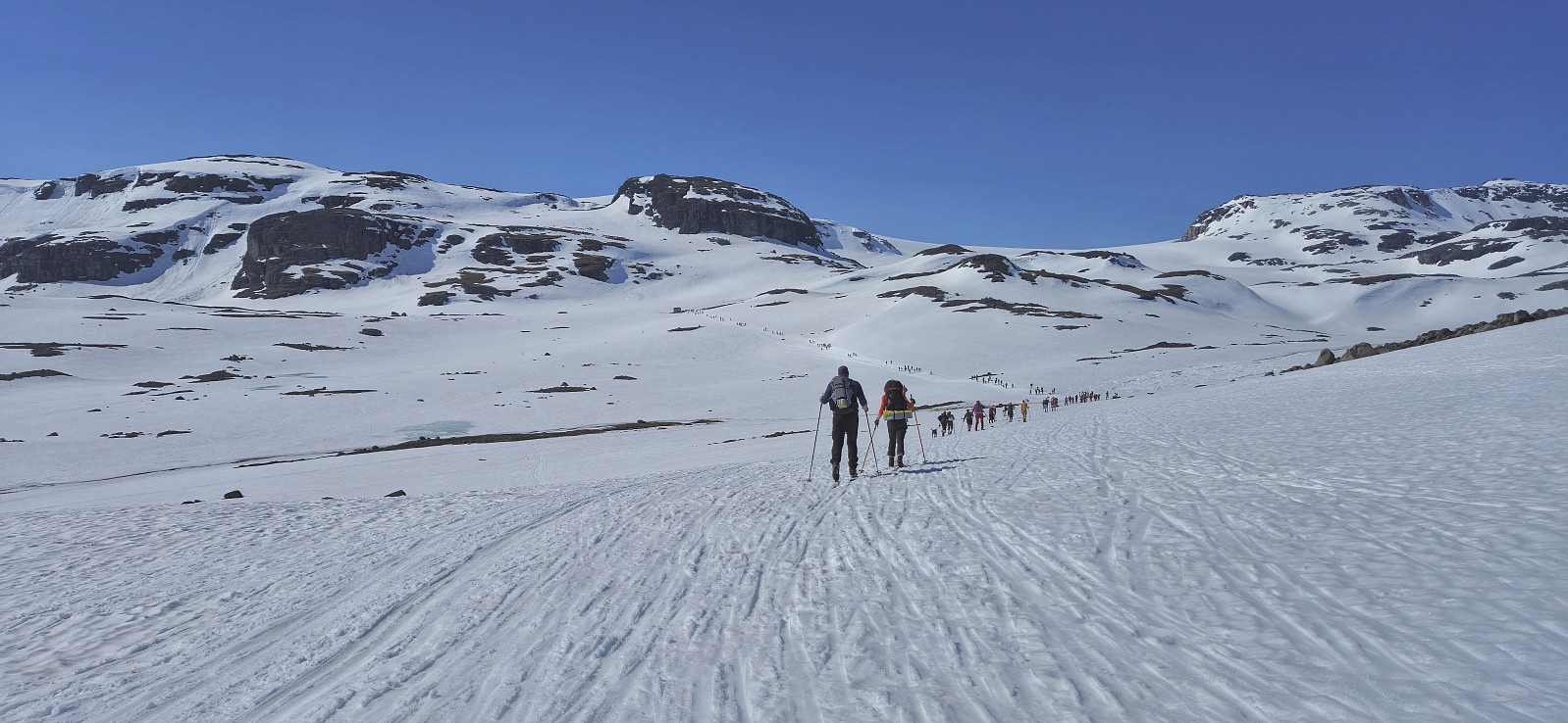
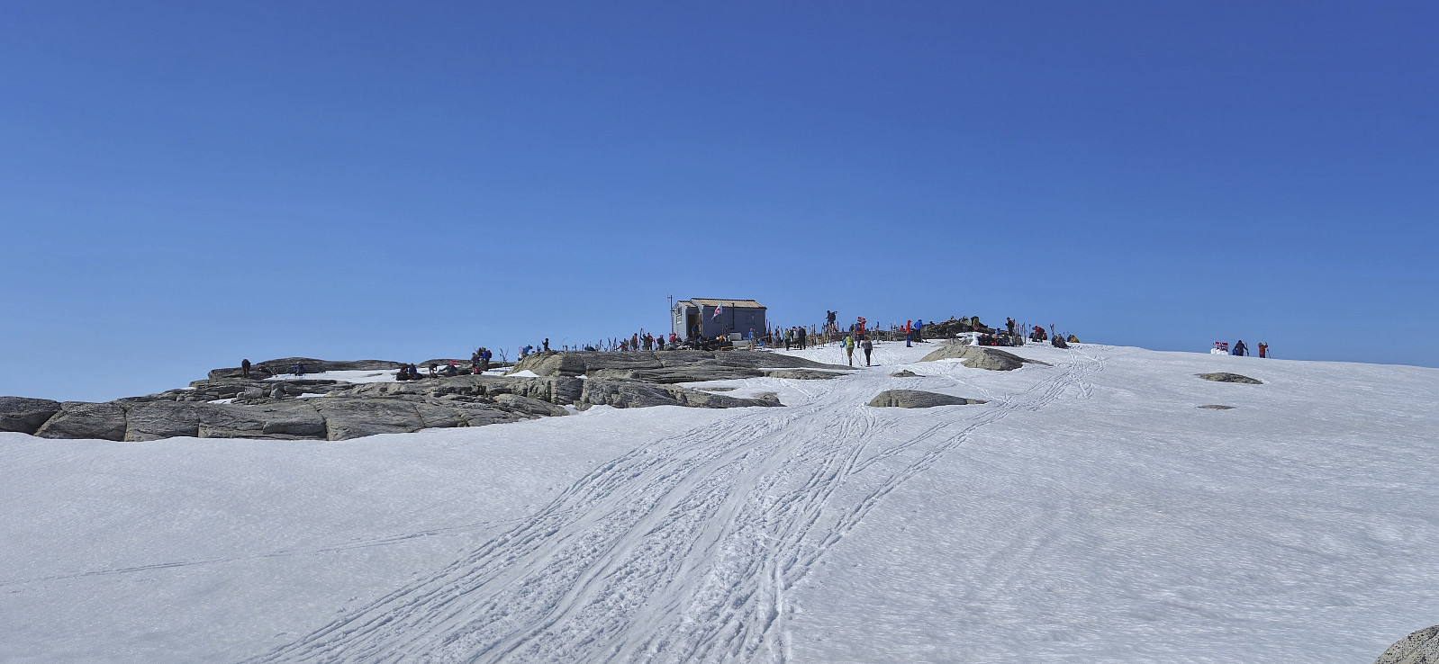
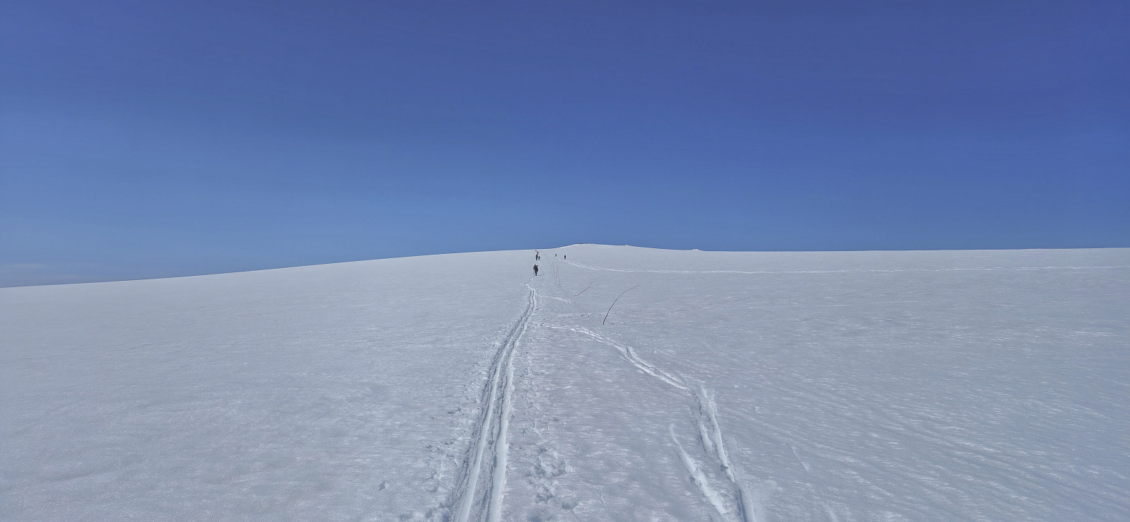
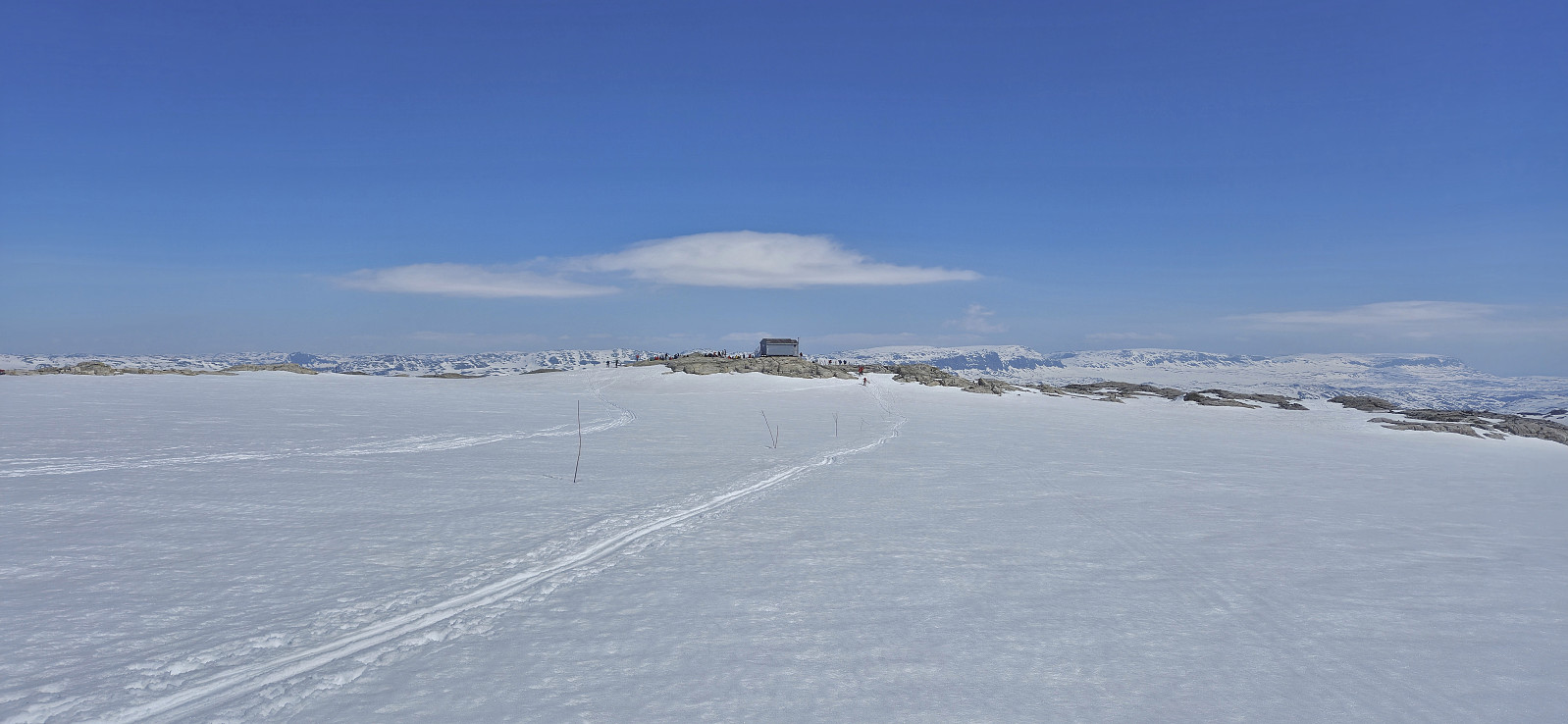
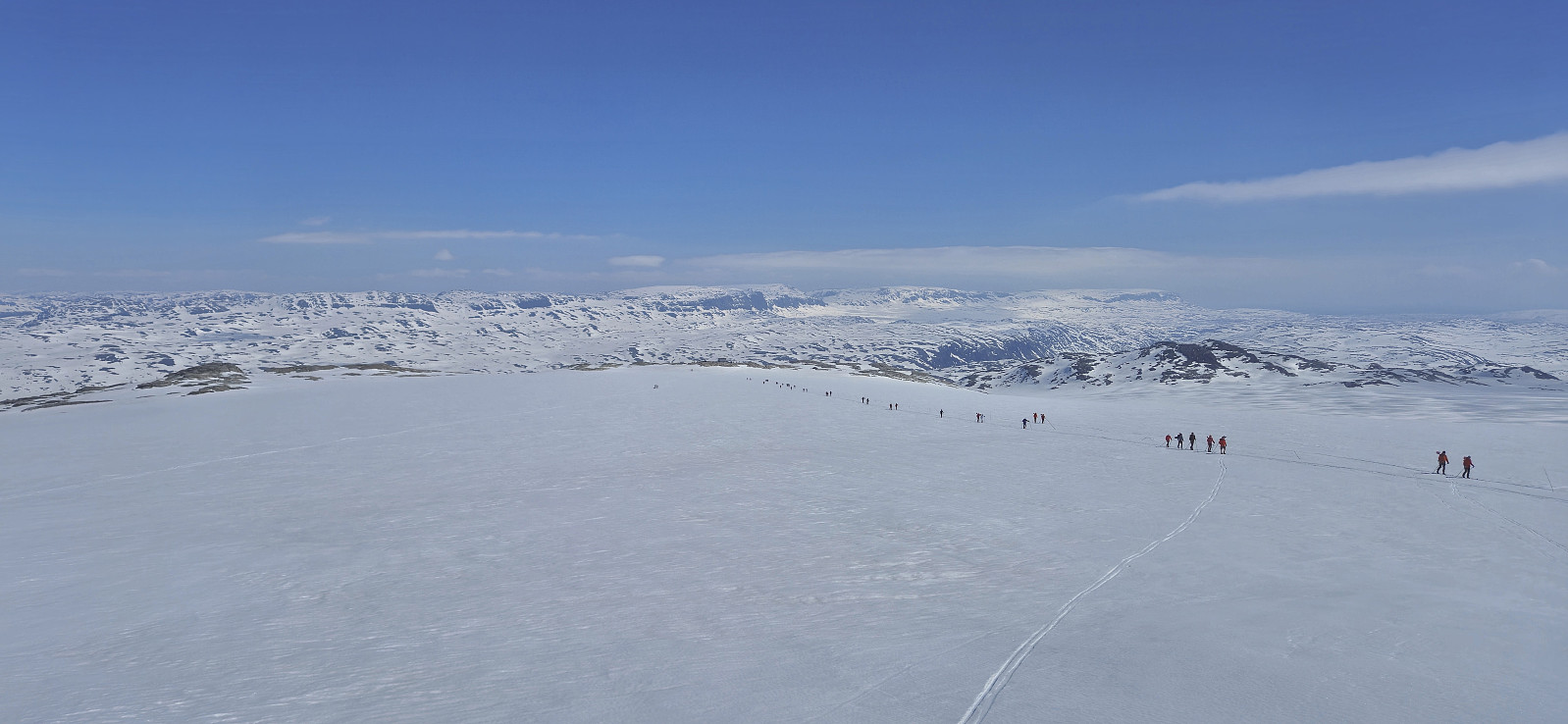
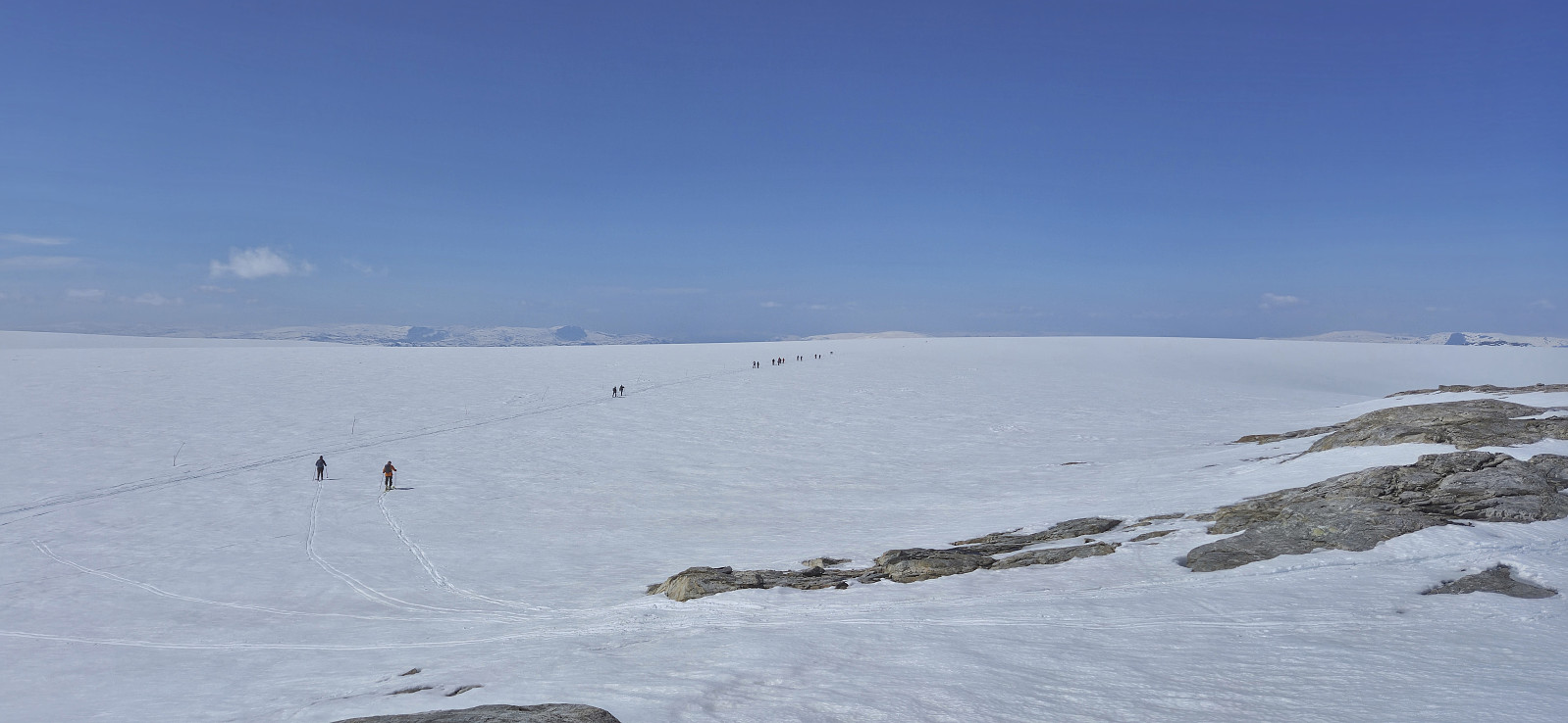
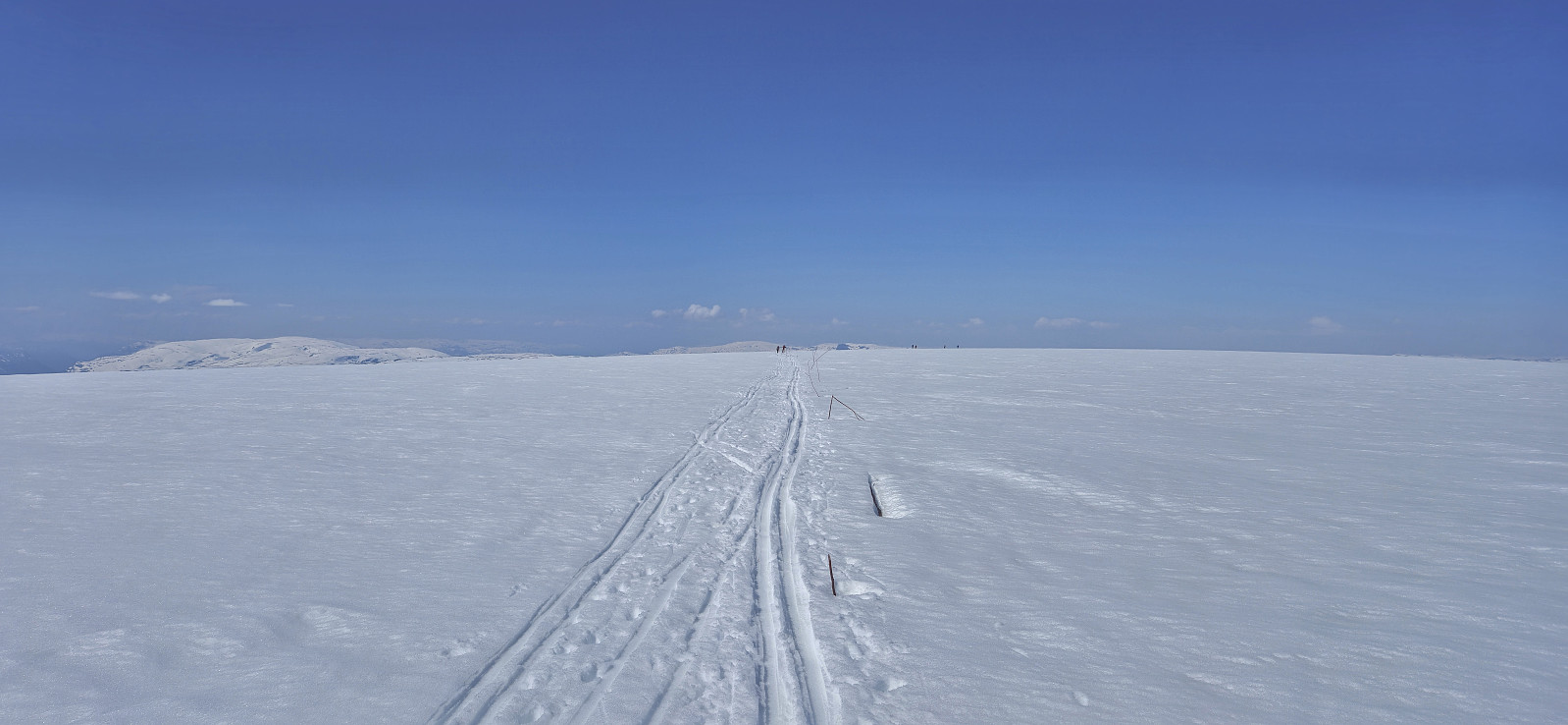
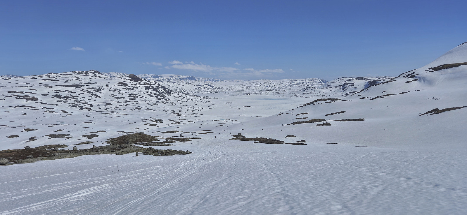
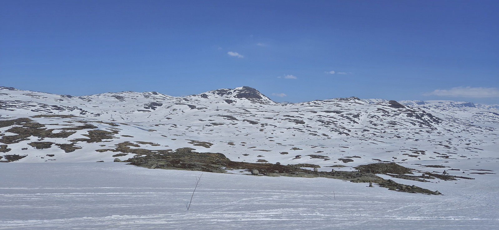
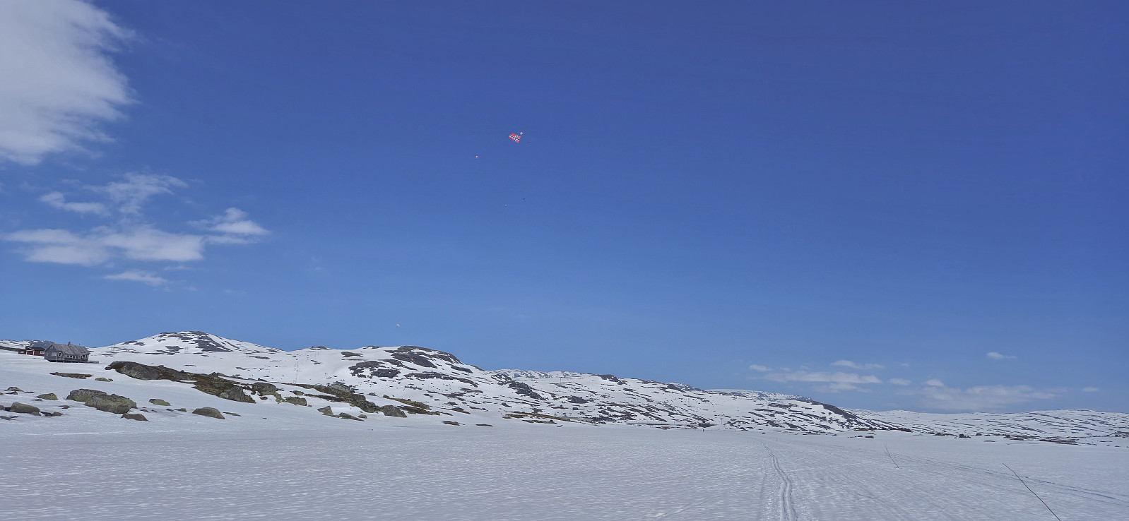
For the first time I decided to have a go at celebrating May 17th (Norway's constitution day) at Finse. I therefore took the morning train from Bergen to Finse where I was ready to start skiing shortly after the train arrived at 10:30. As expected I was far from alone and could simply follow the constant stream of skiers heading towards Hardangerjøkulen. The so-called Jøkulrunden, a roundtrip via the highest point of the glacier, is also marked with wooden sticks during the spring but these were not really needed today.
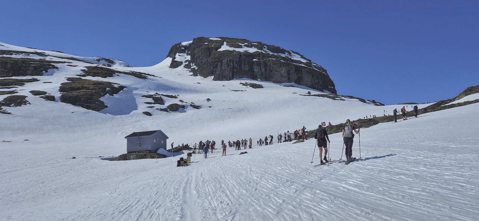
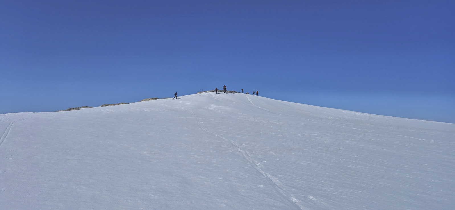
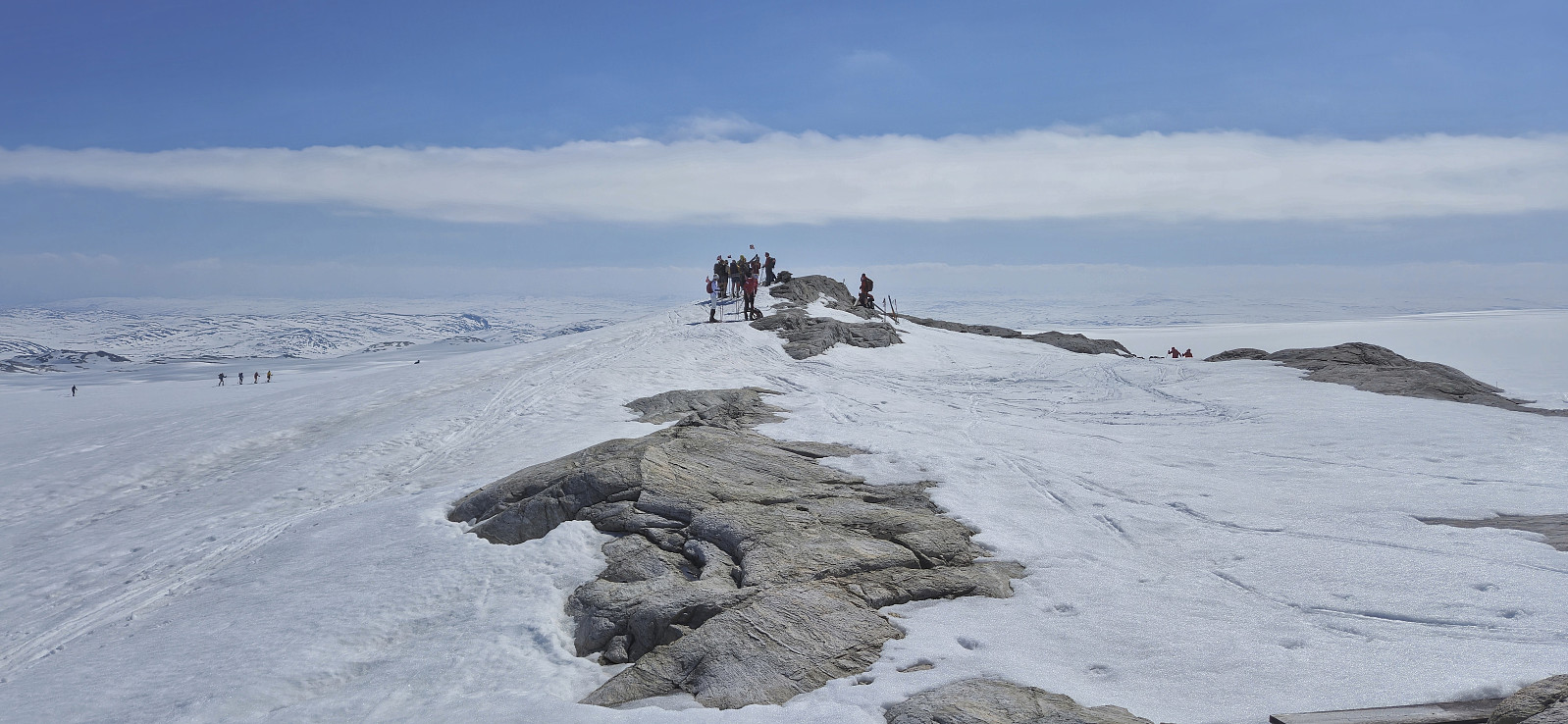
While I had started from Finse in a T-shirt, and many others were skiing in shorts, a relatively strong and cold wind resulted in a change to warmer clothing soon after passing by Appelsinhytta. For the same reason, the stops at both Jøkulhytta and the summit were cut short. Before continuing on Jøkulrunden I also made a quick visit of Punkt på Hardangerjøkulen, although the exact location was not very clear to me.
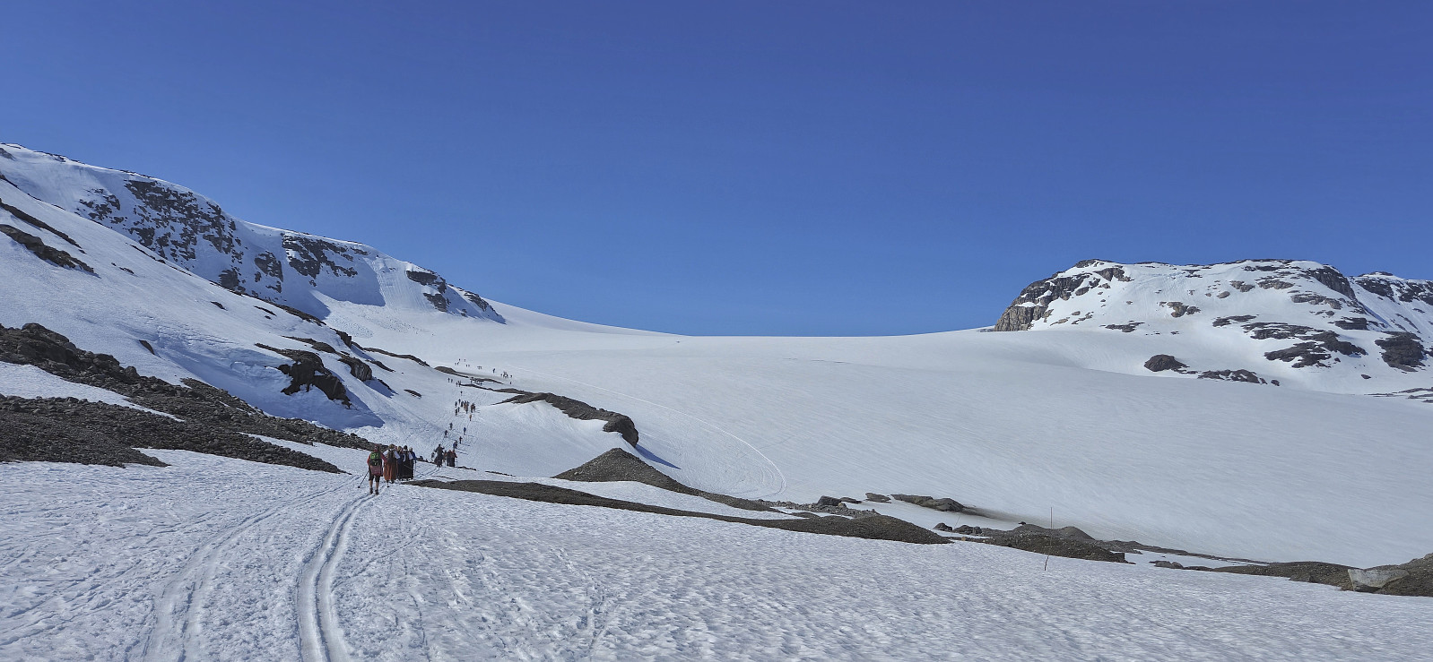
Prior to returning to the marked route I took off the short climbing skins, only to notice that I had lost one of them during the descent without realizing it! Given that I had very little idea when this had happened I decided to not go back and search for it (as this would require going down an unknown amount of vertical meters and then back up again) and instead continued the roundtrip to Finse and worry about it later.
Skiing on the flat glacier was an interesting experience but I was still happy when the large flat area came to an end and I could start the descent to Finsevatnet. The snow was rather wet which made turning tougher than usual but with my slightly wider skis I had no problems. Getting safely across Finsevatnet was however more of a challenge as there were now several light blue areas where the water was starting to be visible underneath the ice/snow. To be on the safe side I therefore made a couple of minor detours to avoid the worst areas and in the end made it to the train station without any issues.
To conclude, skiing at Finse on May 17th can definitely be recommended for those wanting a different type of celebration.

| Startzeitpunkt | 17.05.2024 10:32 (UTC+01:00 SZ) |
| Endzeitpunkt | 17.05.2024 15:18 (UTC+01:00 SZ) |
| Gesamtzeit | 4h 46min |
| Zeit in Bewegung | 4h 02min |
| Pausenzeit | 0h 43min |
| Gesamtschnitt | 4,7km/h |
| Bewegungsschnitt | 5,6km/h |
| Entfernung | 22,5km |
| Höhenmeter | 703m |


Benutzerkommentare