
Hylkje to Haukås via Stuhaugen and Jonsterhaug søyle (04.02.2024)

Skrevet av hbar (Harald Barsnes)

| Startsted | Hylkje (45moh) |
|---|---|
| Sluttsted | Haukås (71moh) |
| Turtype | Fjelltur |
| Turlengde | 1t 46min |
| Distanse | 6,4km |
| Høydemeter | 233m |
| GPS |
|
| Bestigninger | Stuhaugen (64moh) | 04.02.2024 |
|---|---|---|
| Andre besøkte PBE'er | Jonsterhaug søyle (151moh) | 04.02.2024 |
Hylkje to Haukås via Stuhaugen and Jonsterhaug søyle
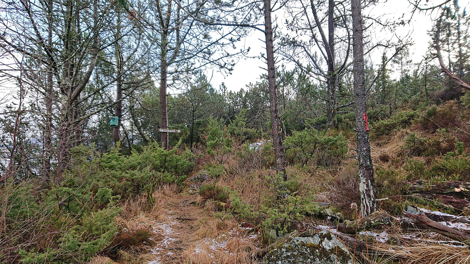
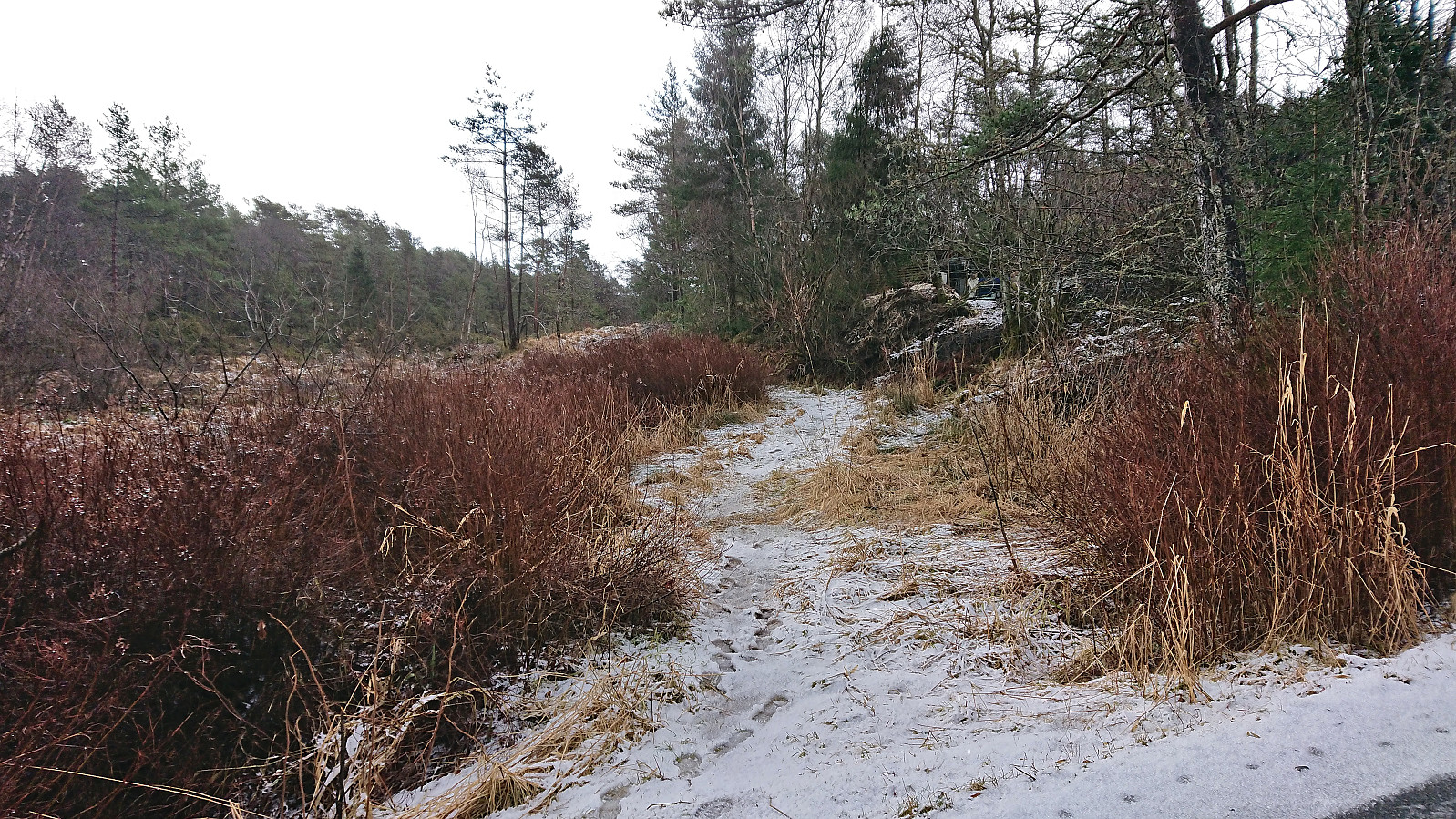
I had come across a potential new candidate for the Søyler (fastmerker) i Bergen list at Hylkjeneset and decided to have a closer look as the information at bergenskart.no did not reveal the type of trig marker. From the bus stop at Hylkje I followed the roads to Hylkjeneset and the marked trailhead for Geitskaret.
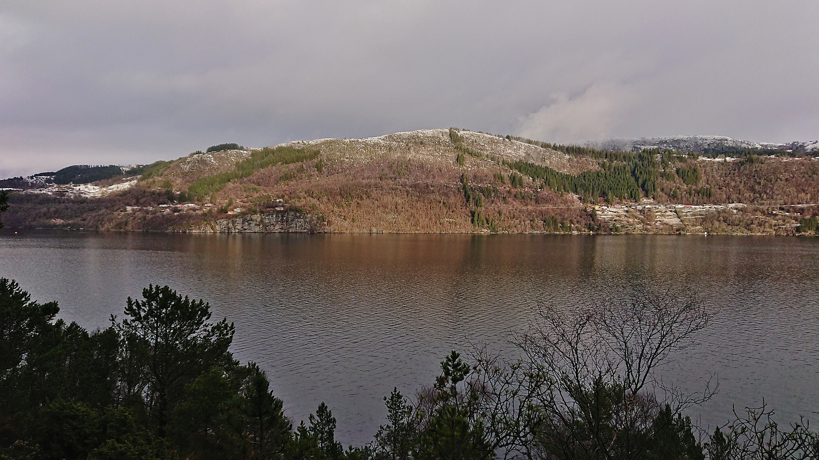
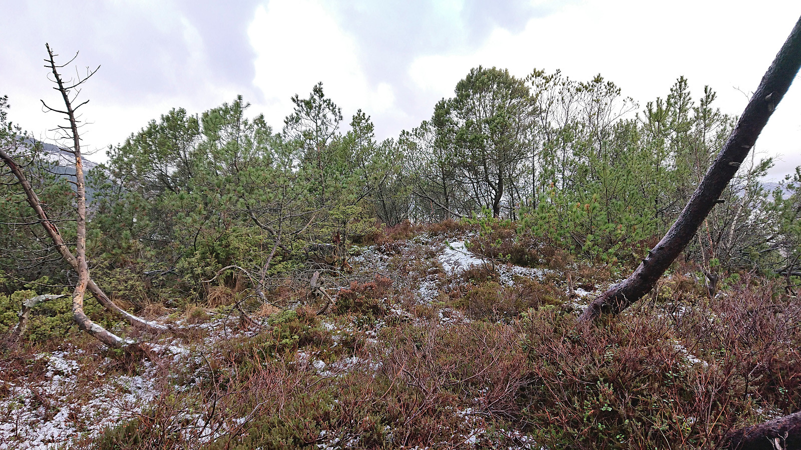
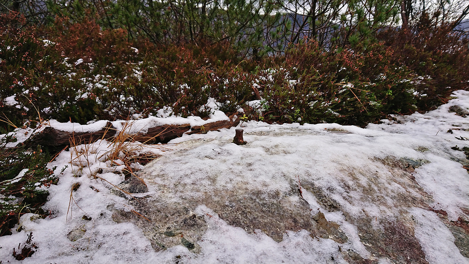
The marked trail provided excellent views across Sørfjorden to Osterøy but did not pass by the highest point at the small hill Stuhaugen where the trig marker was supposed to be (now added as its own PB-element). However, just as I was about to leave the trail and head the final short off-trail distance to the summit I did came across a trig marker, but not of the kind I had expected and not at the correct location. This one was of the taller type held up by metal wires and was located at the lower hill less than 100 meters southeast of the summit. It was also the only real trig marker I would find, as the summit itself only contained a small trig bolt.
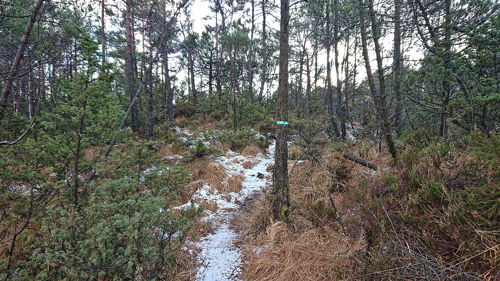
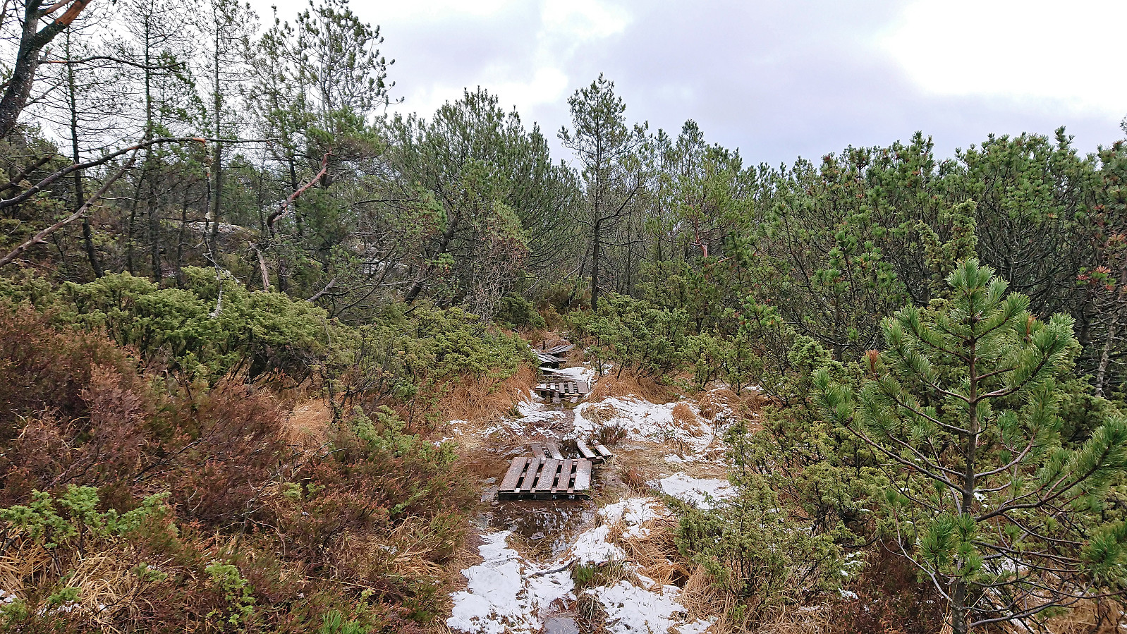
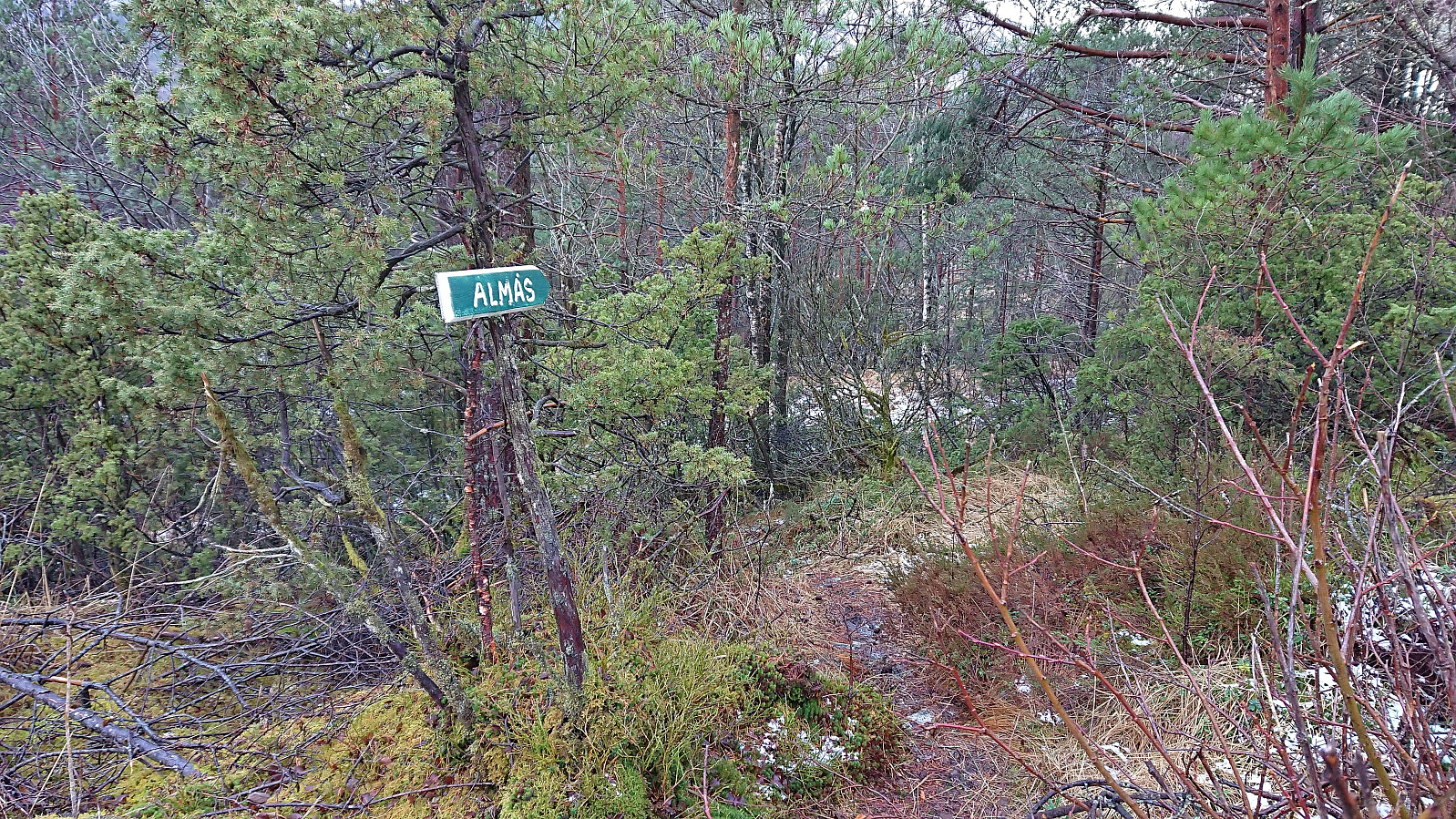
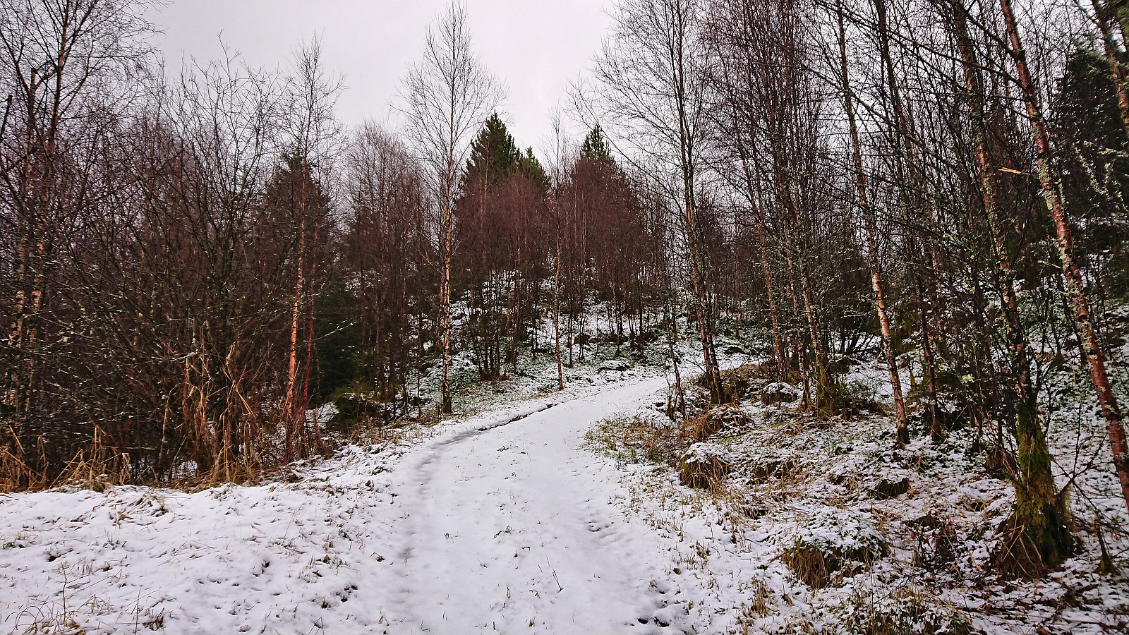
I turned back and followed the trail southeast until connecting with a paved road from where I followed another trail to Almås. Once more the trailhead was marked with a sign, but in this case the trail itself was not marked. It was also rather wet but otherwise relatively easy to follow, although it crossed at least two other trails, hence the GPS came in handy.
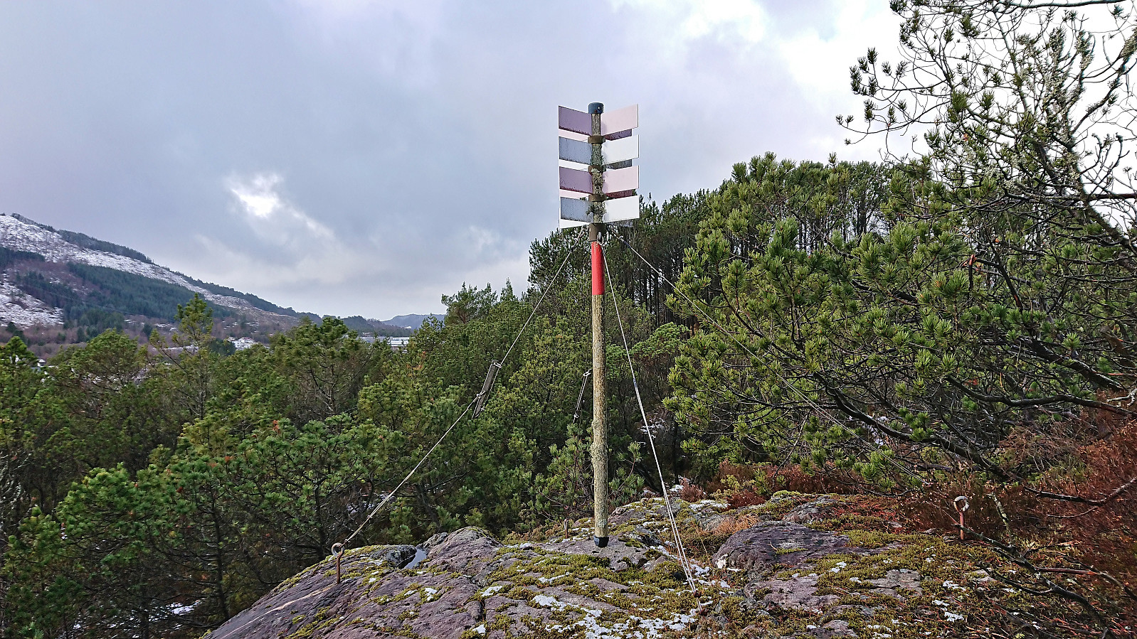
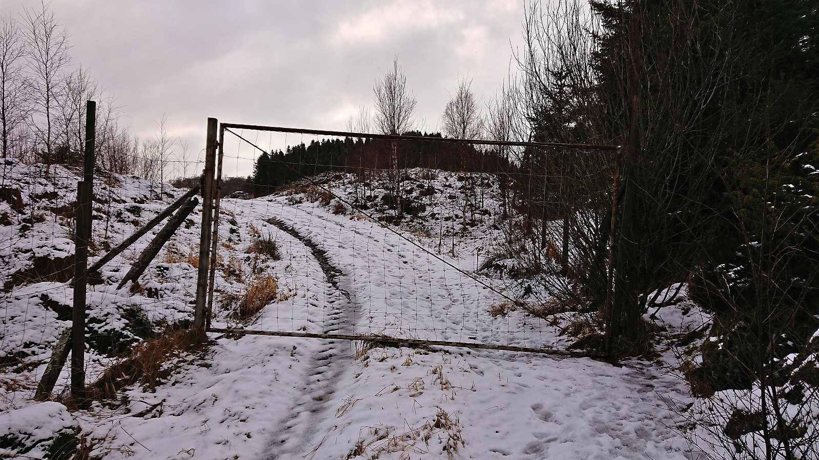
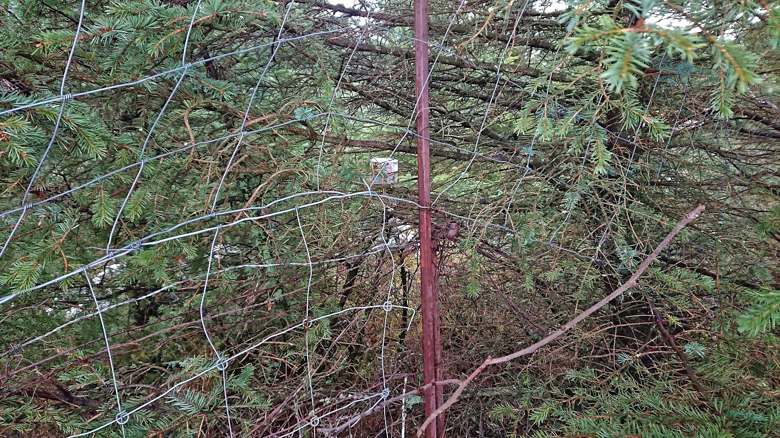
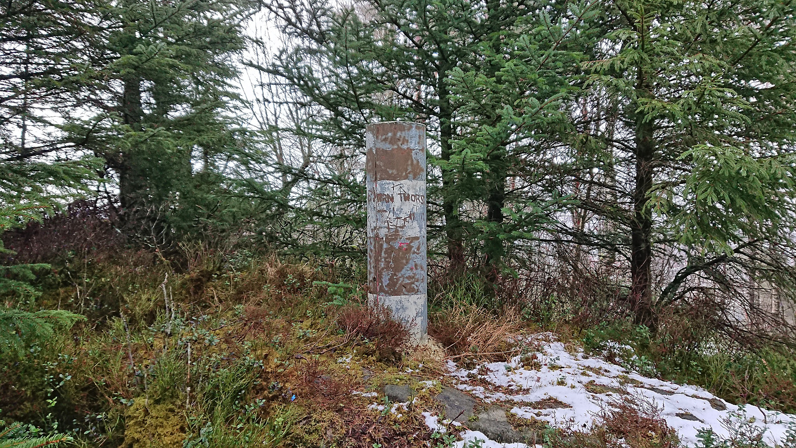
After reaching the road at Almås I followed it southwest and crossed under the main road before heading south and then southwest up Gandalen where I located a tractor road that would take me almost all the way to Jonsterhaug søyle. Shortly before getting to the trig marker I passed through a gate in a tall fence and headed off-trail towards the trig marker. I was now on the wrong side of the fence however and thus had to find a spot just north of the trig marker where the fence was halfway down and could be easily crossed. Next to no views from the trig marker due to the trees.
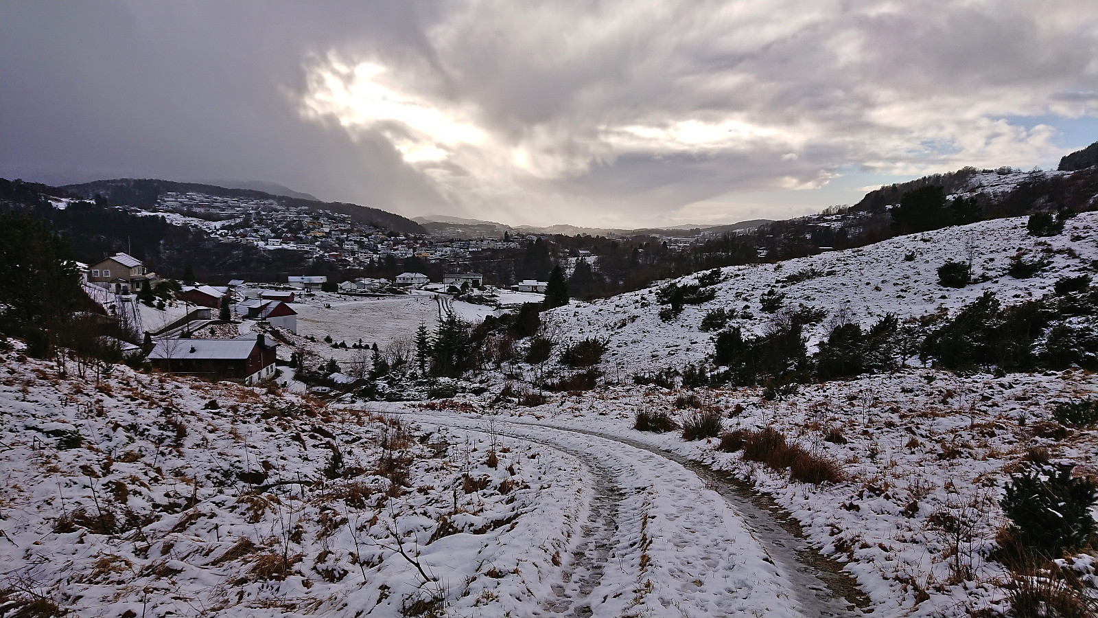
To avoid having to cross the fence a second time, I followed a weak trail north and then west from the trig marker taking me back to the above-mentioned gate. In other words, the trig marker can be easily reached without having to worry about the fence. The hike was concluded by following the road via Haukås to the main road from where I took the bus back home.
| Starttidspunkt | 04.02.2024 12:30 (UTC+01:00) |
| Sluttidspunkt | 04.02.2024 14:16 (UTC+01:00) |
| Totaltid | 1t 46min |
| Bevegelsestid | 1t 37min |
| Pausetid | 0t 9min |
| Snittfart totalt | 3,6km/t |
| Snittfart bevegelsestid | 4,0km/t |
| Distanse | 6,4km |
| Høydemeter | 232m |


Kommentarer