
Kongsberg and Kristinuten (27.10.2023)

Skrevet av hbar (Harald Barsnes)

| Startsted | Sølve (250moh) |
|---|---|
| Sluttsted | Levke (10moh) |
| Turtype | Fjelltur |
| Turlengde | 6t 29min |
| Distanse | 19,1km |
| Høydemeter | 1078m |
| GPS |
|
| Bestigninger | Kongsberg (685moh) | 27.10.2023 |
|---|---|---|
| Kristinuten (901moh) | 27.10.2023 | |
| Andre besøkte PBE'er | Jobykset (267moh) | 27.10.2023 |
| Jonstølen (617moh) | 27.10.2023 | |
| Kongsberg utsiktspunkt (670moh) | 27.10.2023 | |
| Øydvekleppe (690moh) | 27.10.2023 |
Kongsberg and Kristinuten
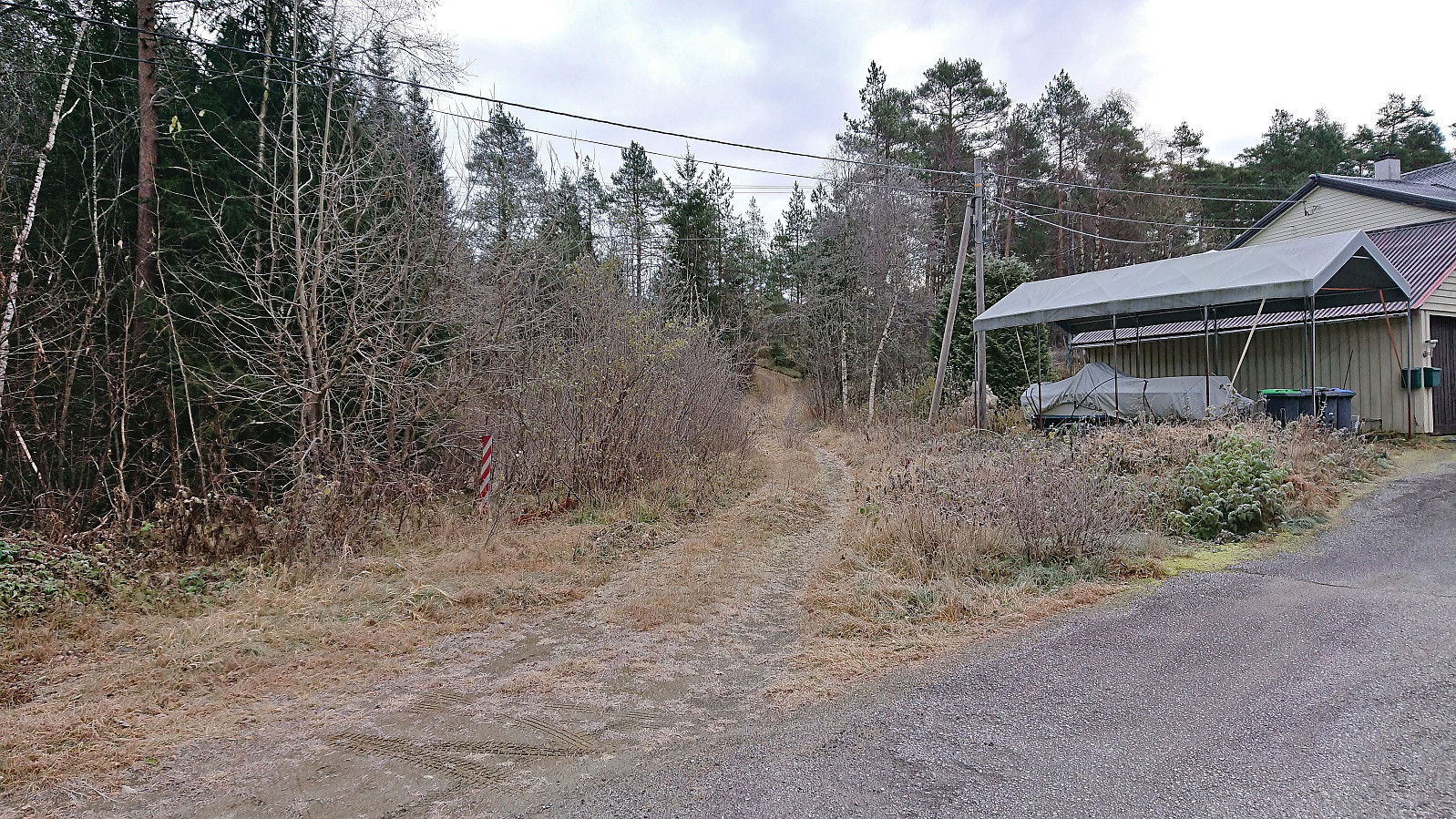
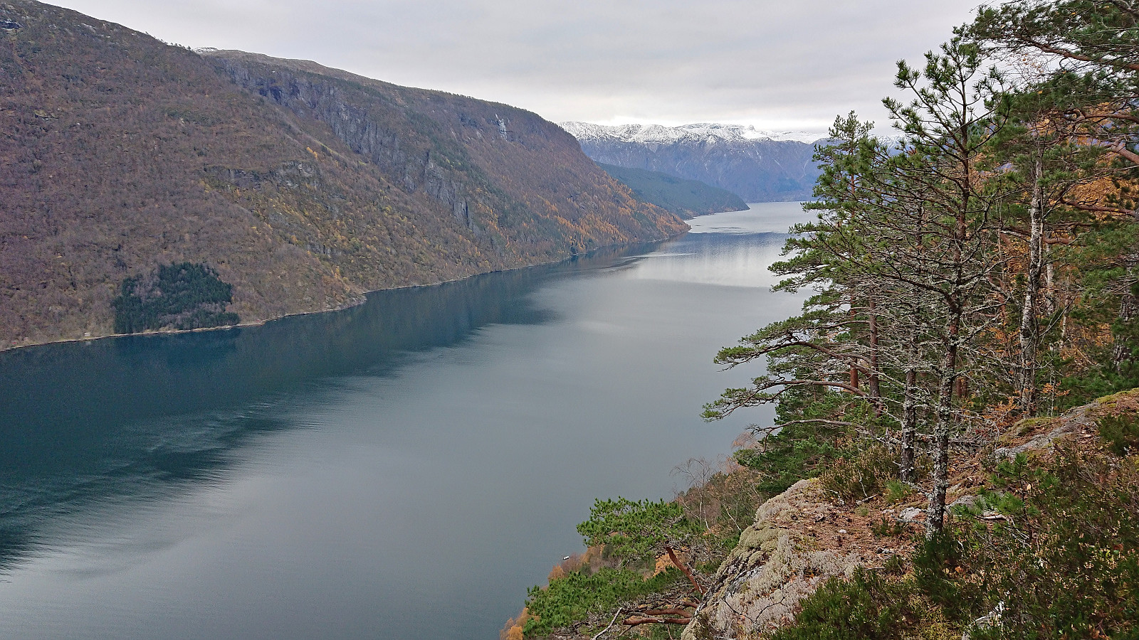
Given the excellent Friday weather forecast, and other engagements during the upcoming weekend, I decided to take the Friday off and go hiking in Ulvik. Once more I took the train to Voss (once again with bus-for-train between Bergen and Arna). Here I switched (back) to bus and headed for Ulvik, getting off at Sølva (just two stops after where I began my hike to Kjerringafjellet and Kvasshovden the previous weekend).
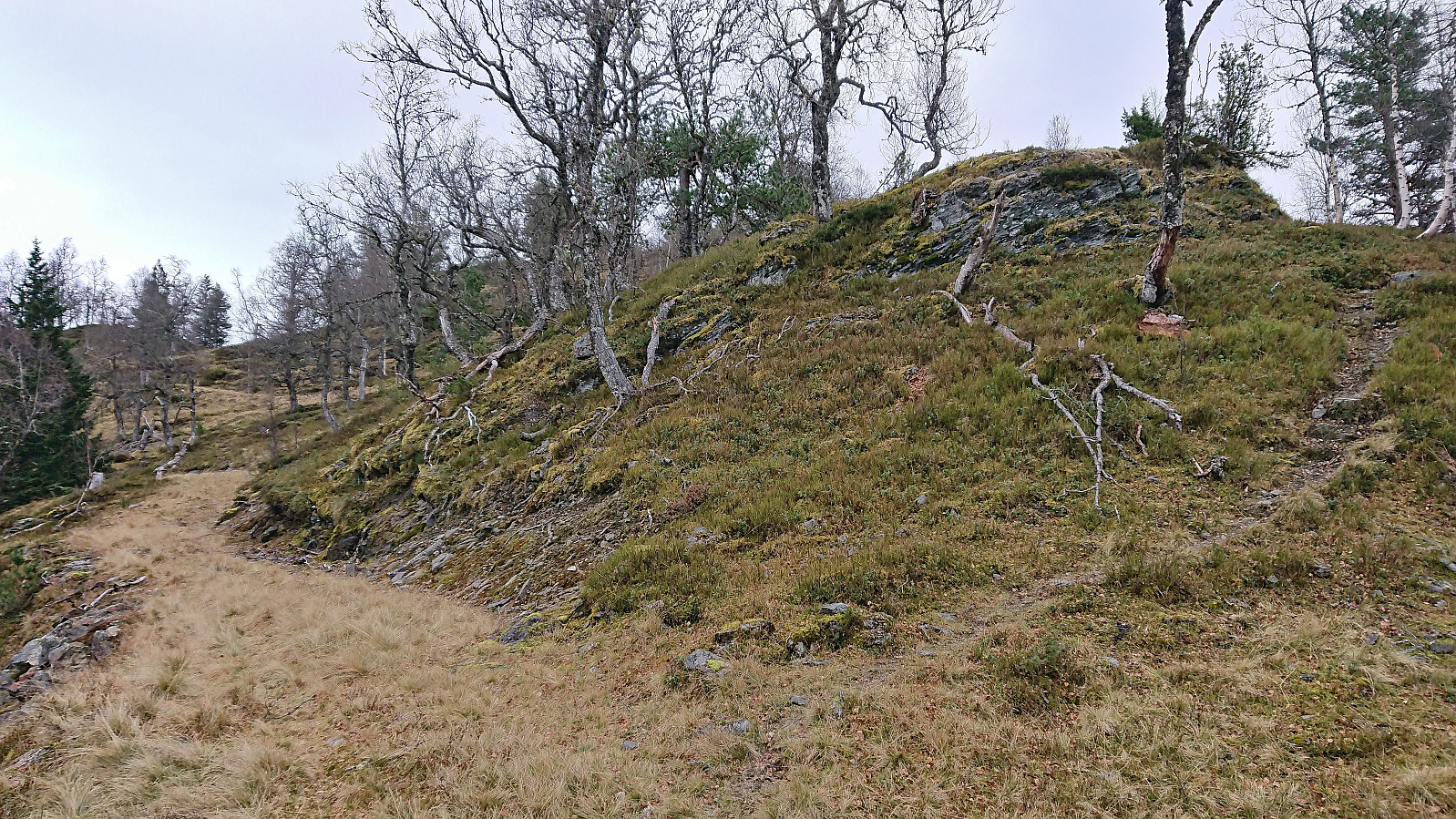
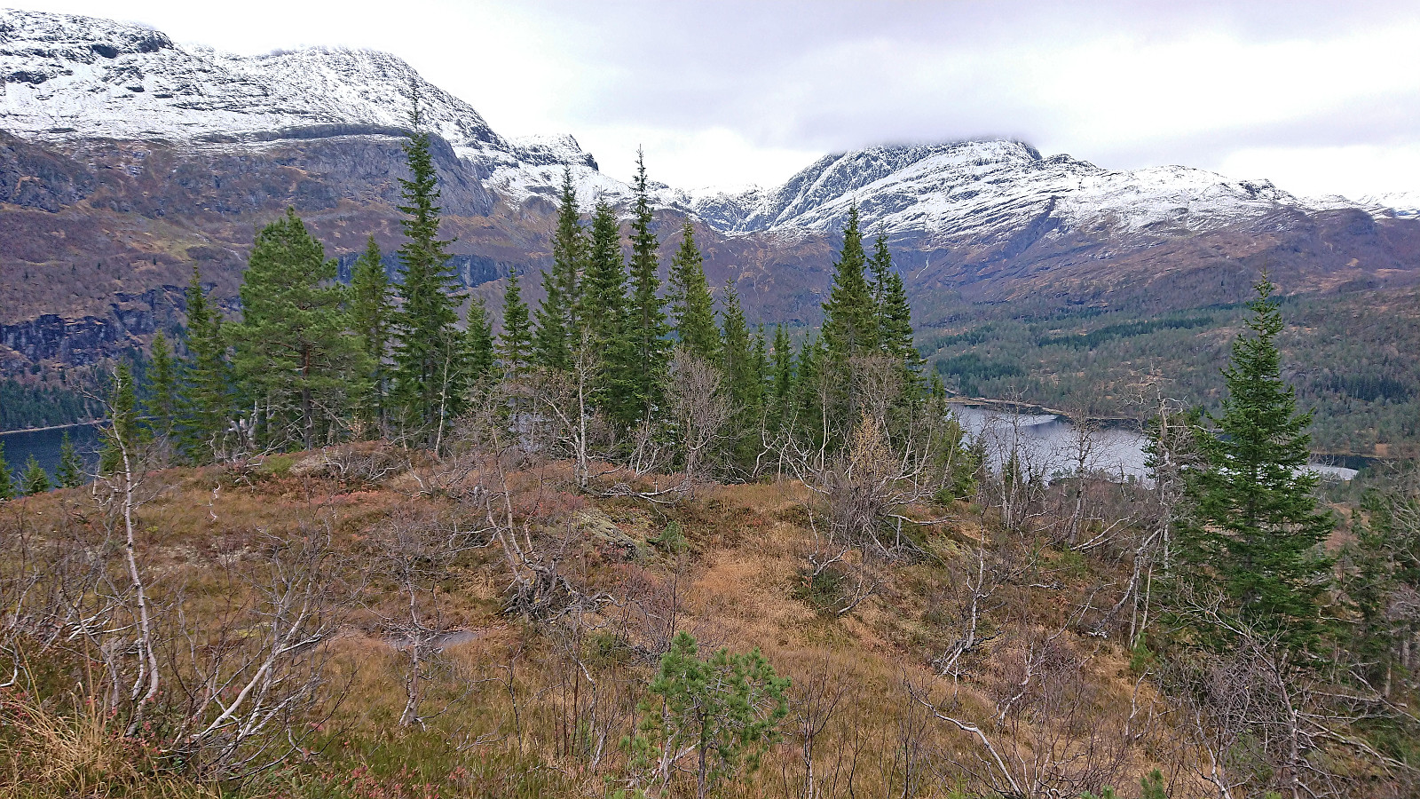
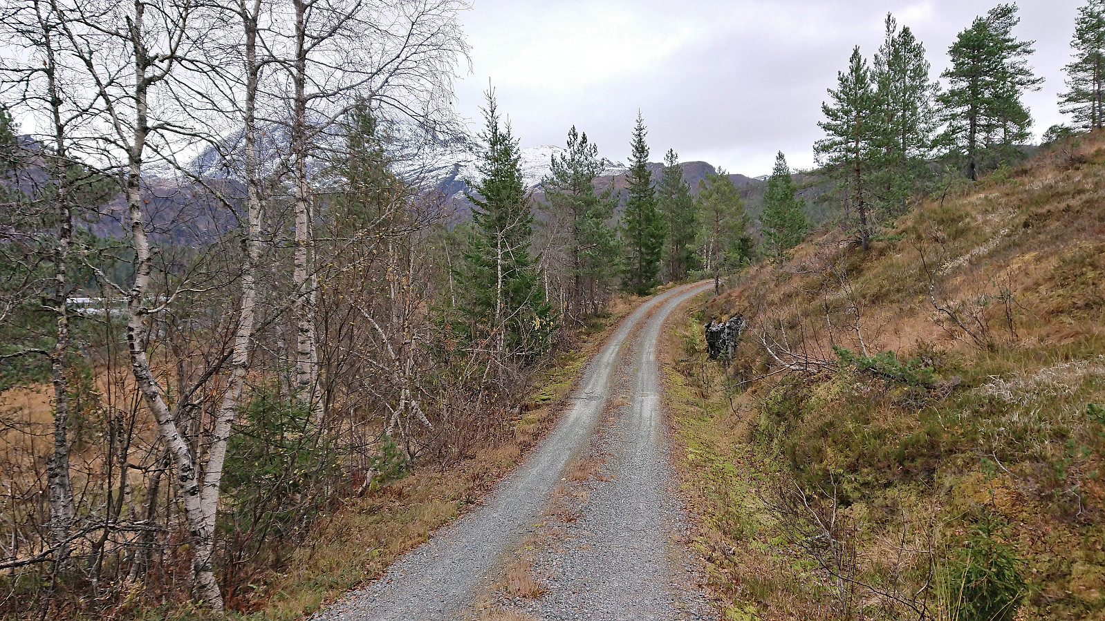
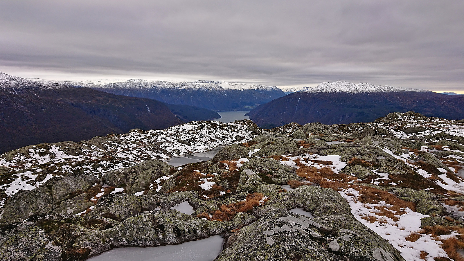
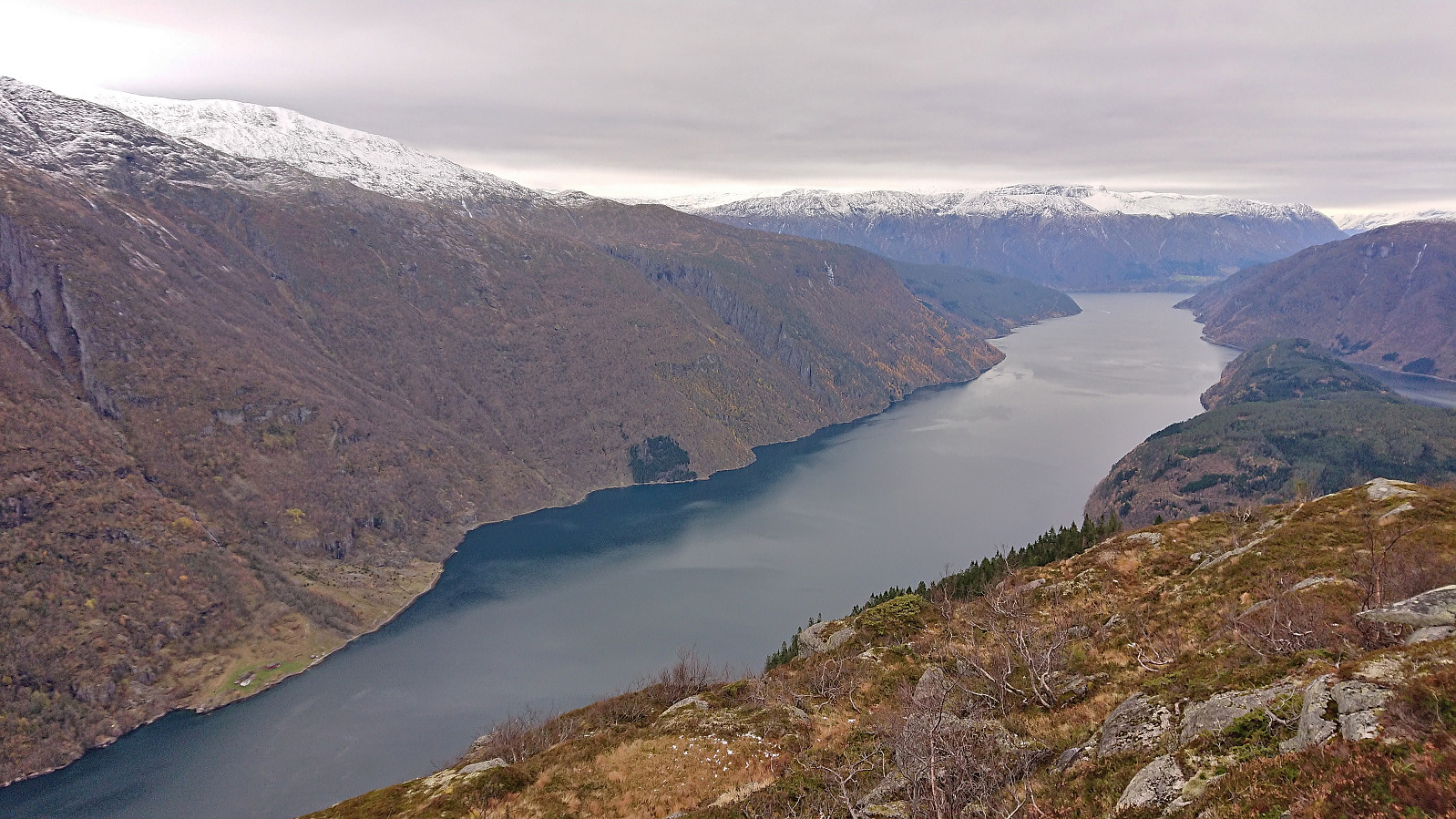
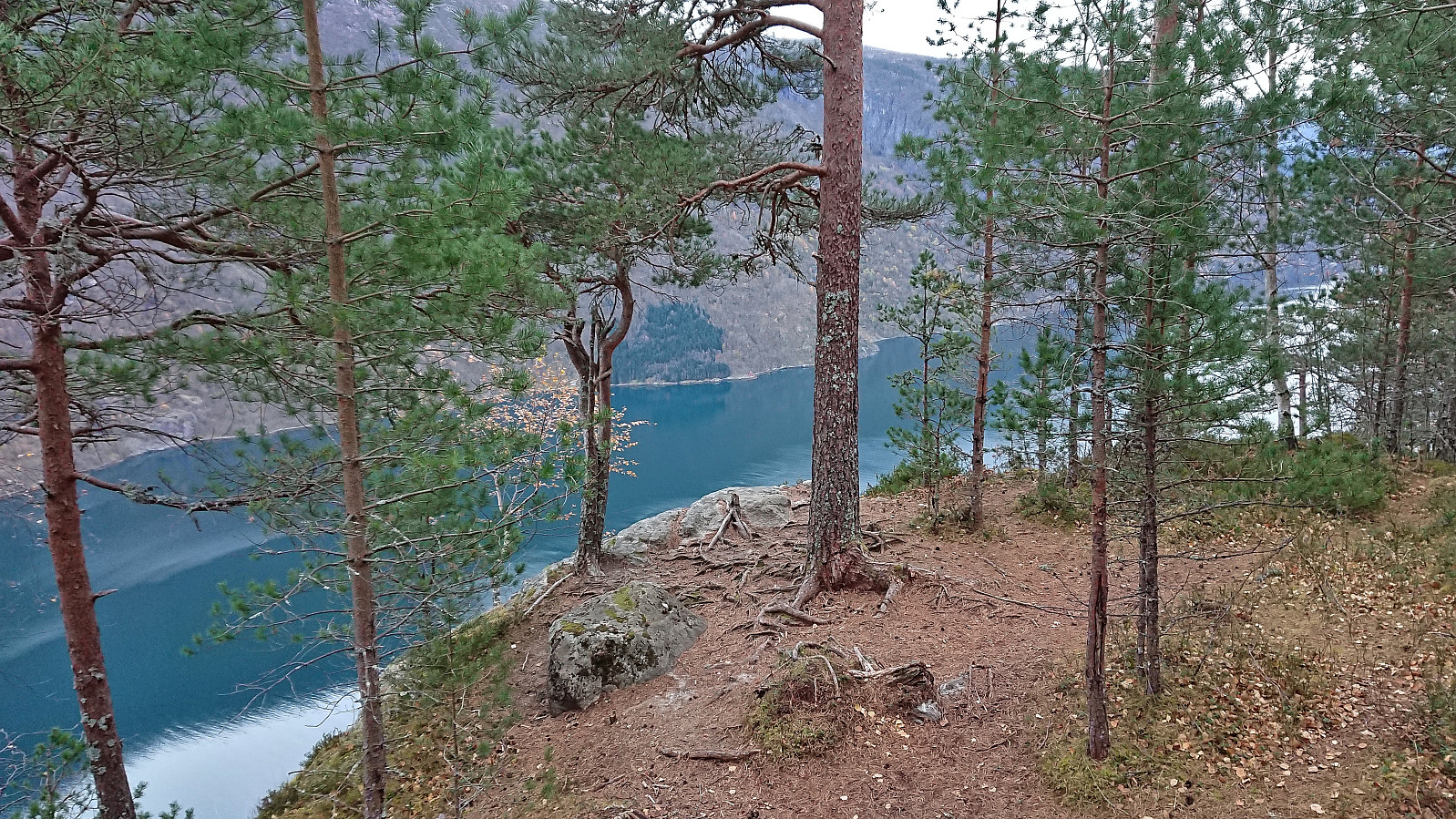
The bus stop was right next to the start of the tractor road that I could pretty much follow all the way to the summit of Kongsberg. I only left the tractor road towards the very end to instead continue on an unmarked trail to a vantage point just south of the summit with spectacular views across Ulvik. From there a weaker trail could be followed to the highest point less than 150 meters further north.
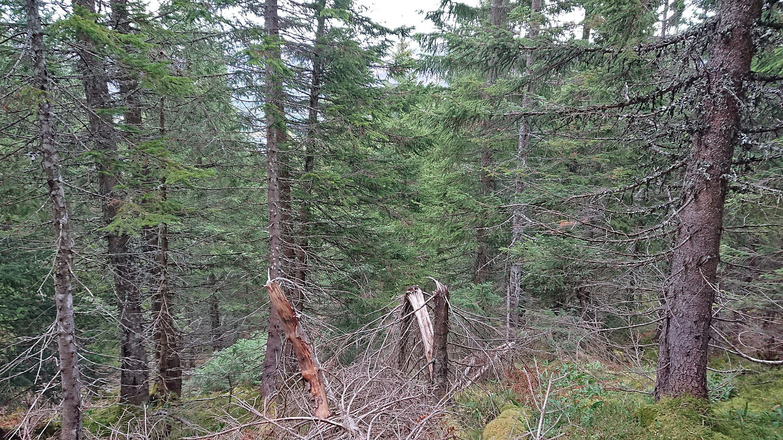
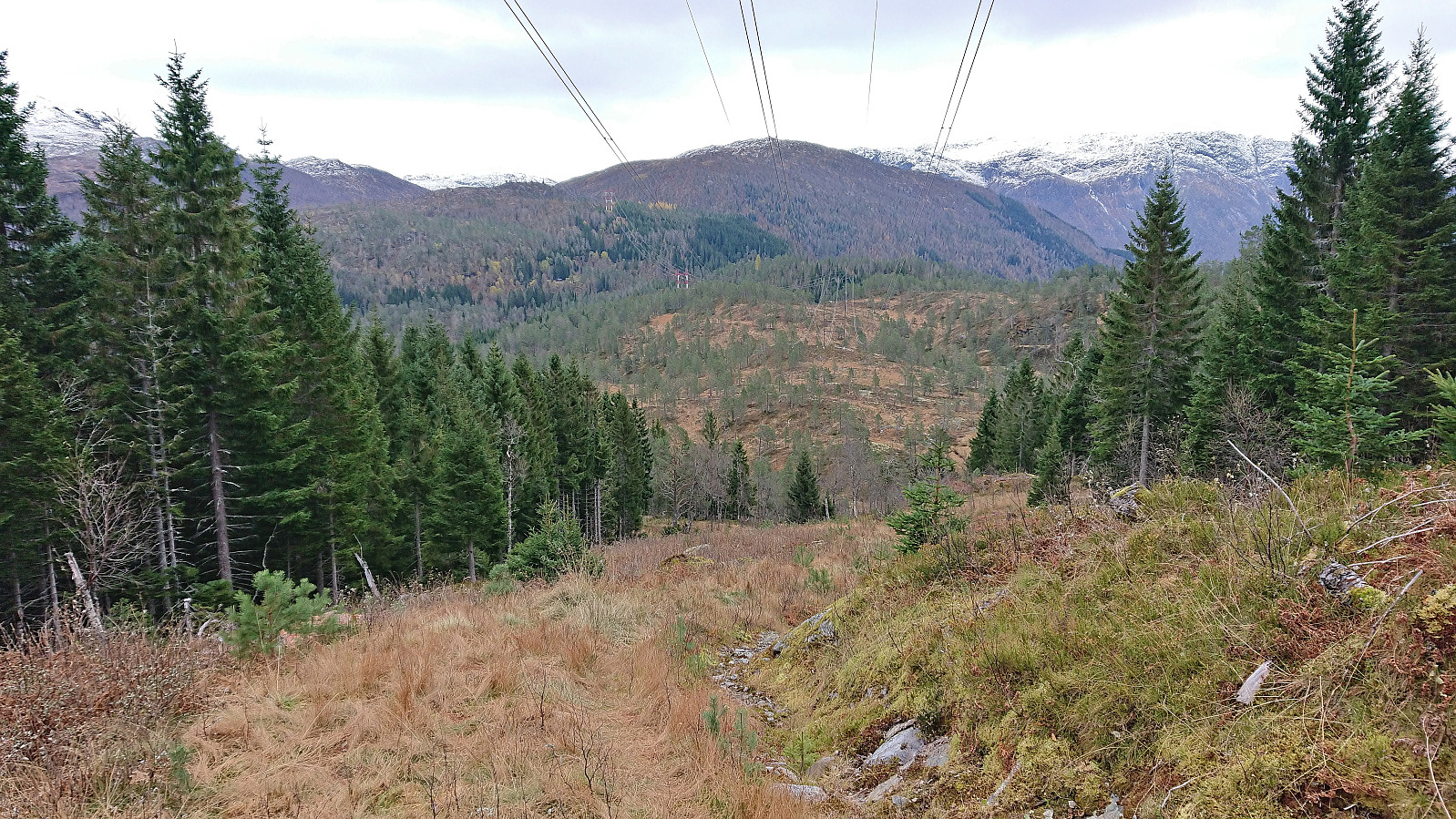
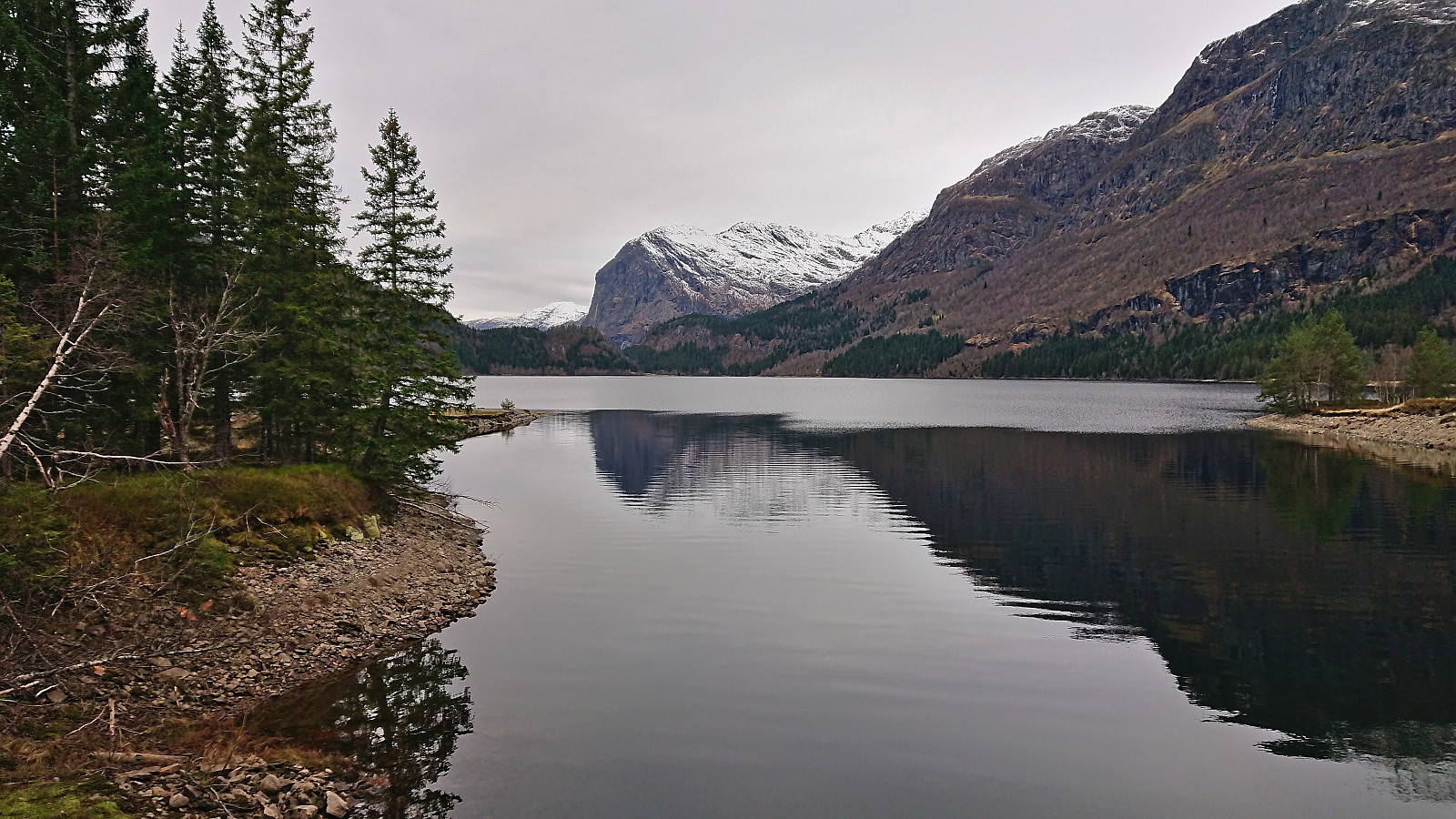
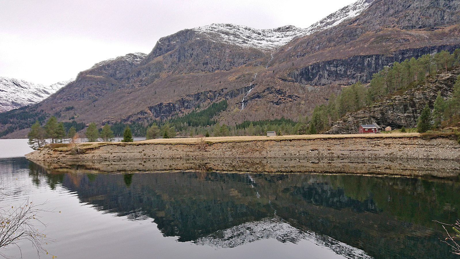
Ascending Kongsberg had been straightforward, however I was not planning on descending the same route but instead make my own shortcut northeast to Solsævatnet. No trails in this direction as far as I could tell and the terrain was not the easiest to navigate due to lots of trees. The distance was however just above 1 km as the crow flies and it did not take long before I connected with a rough tractor road below the overhanging powerlines which lead me down to the gravel road around the lake. The walk around the lake to Solsæ was a bit of a disappointment though due to the limited views and the overall longer than expected distance to the lake.
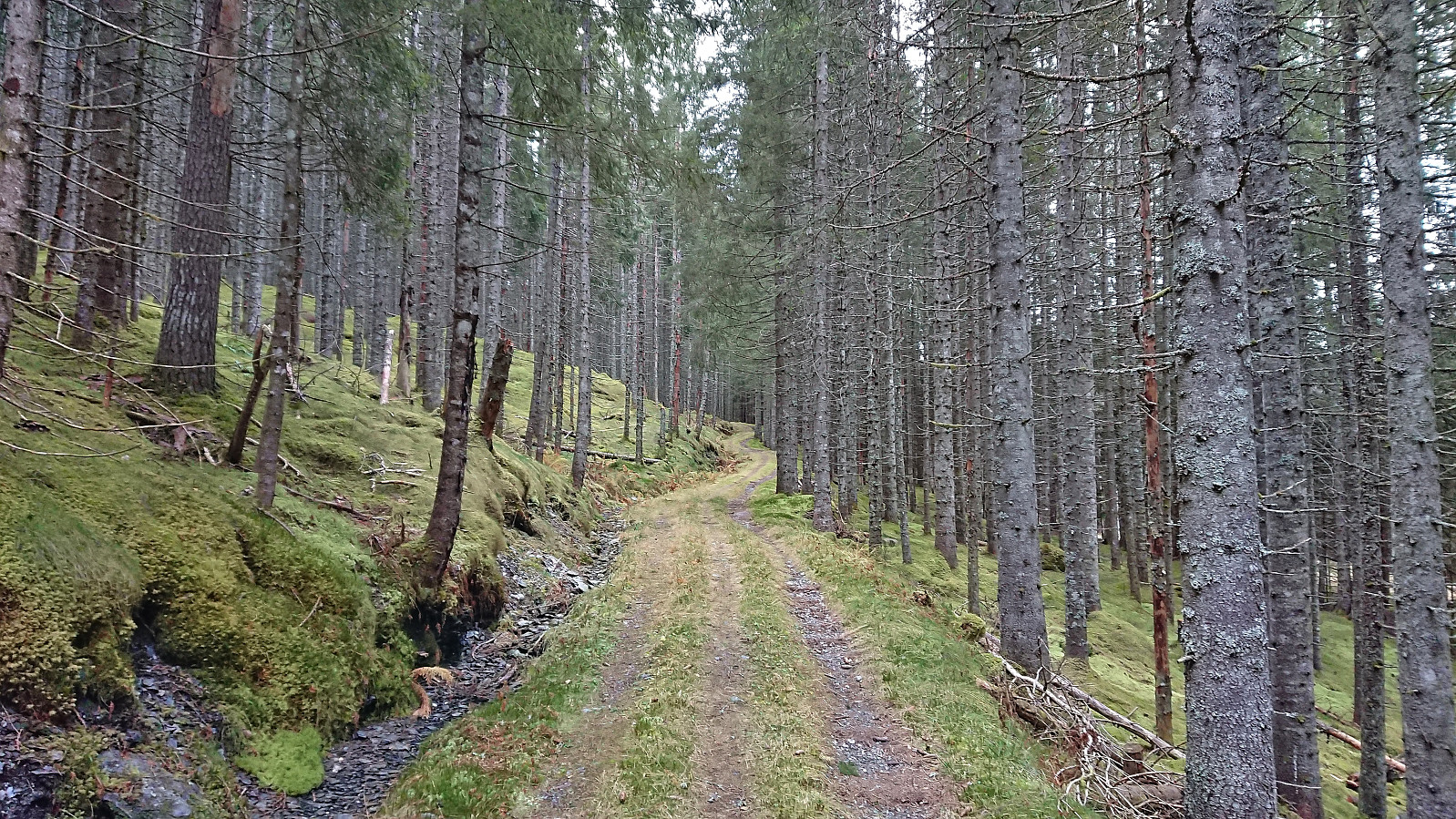
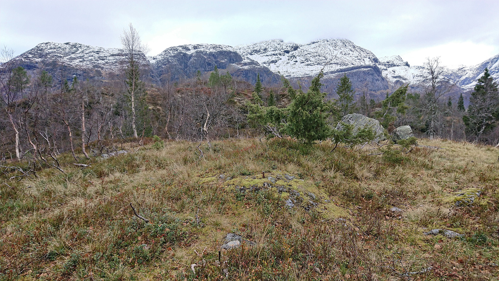
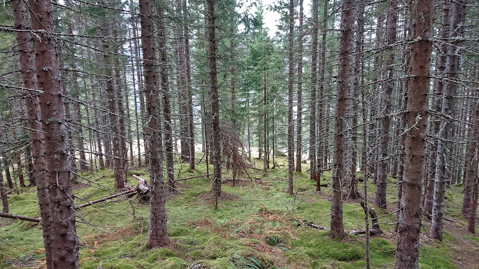
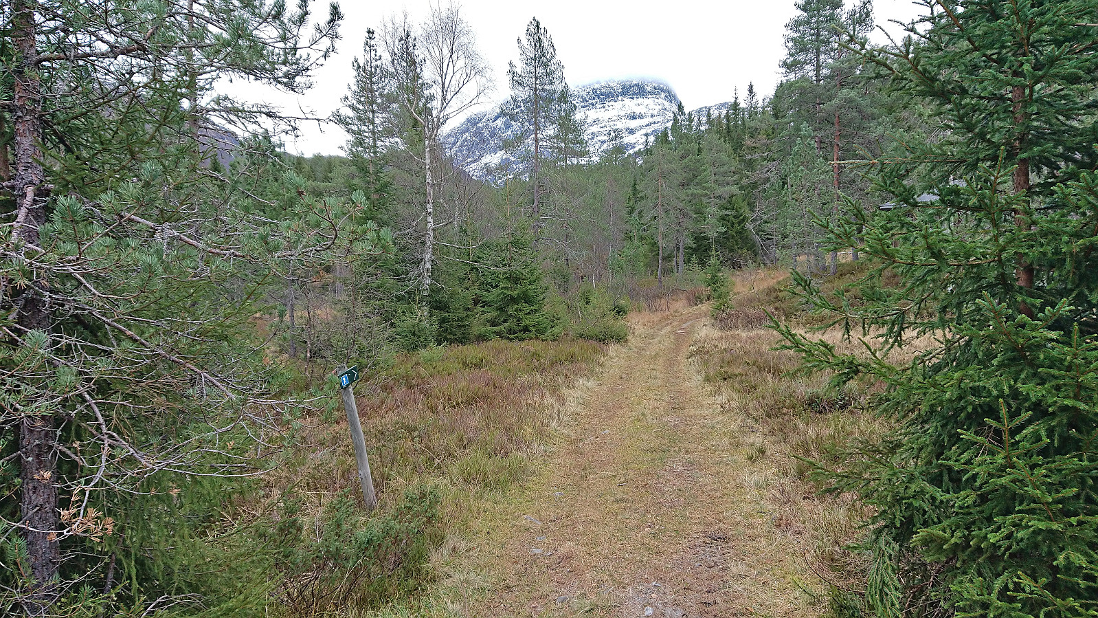
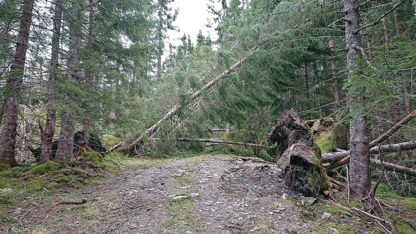
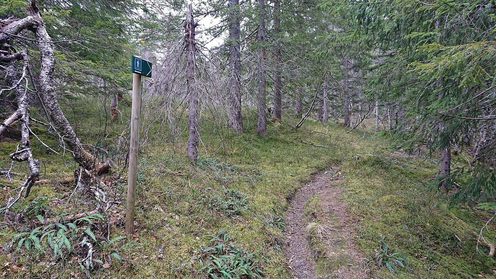
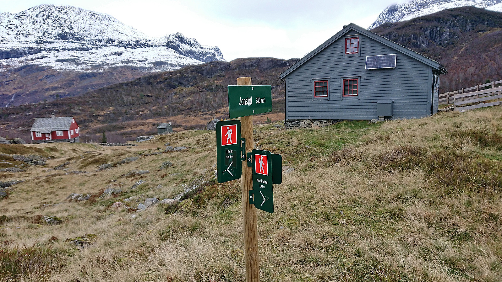
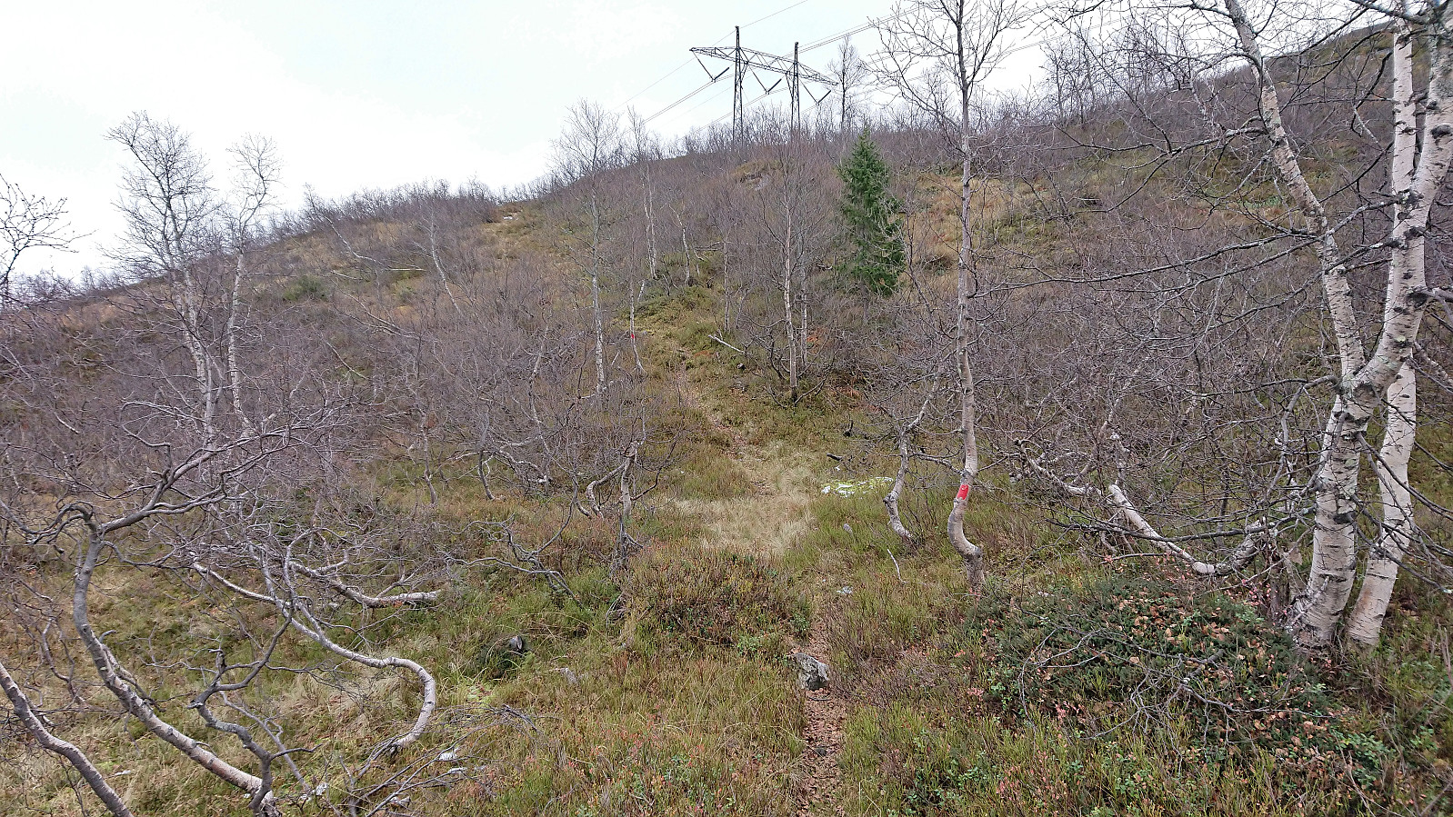
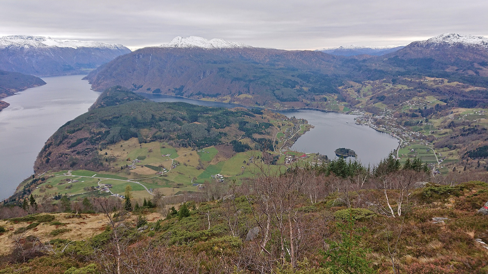
At Solsæ I left Solsævatnet behind and started on a tractor road towards Jonstølen. Here the strong wind from last week had clearly made its impact, with lots of large trees now blocking the road. Thankfully, the work to remove the trees had already begun and the fallen trees could thus easily be navigated. I later left the tractor road and followed relatively new trail markers to Jonstølen.
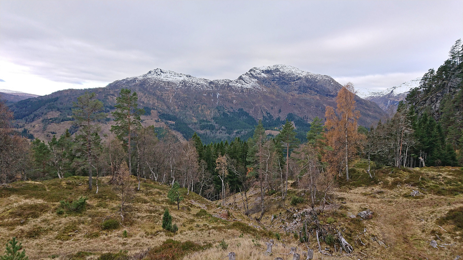
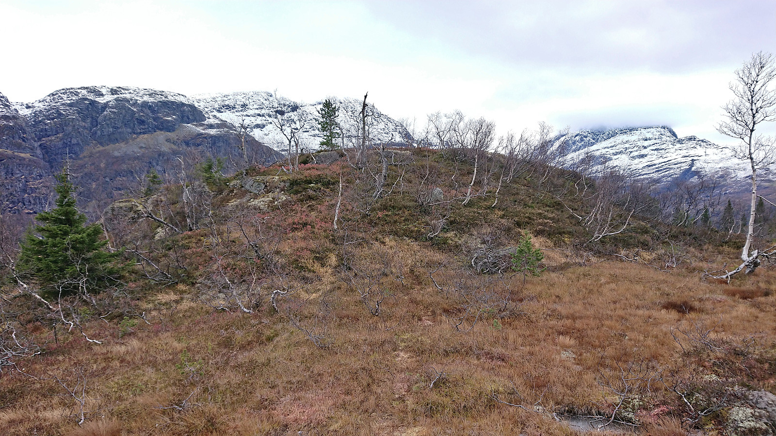
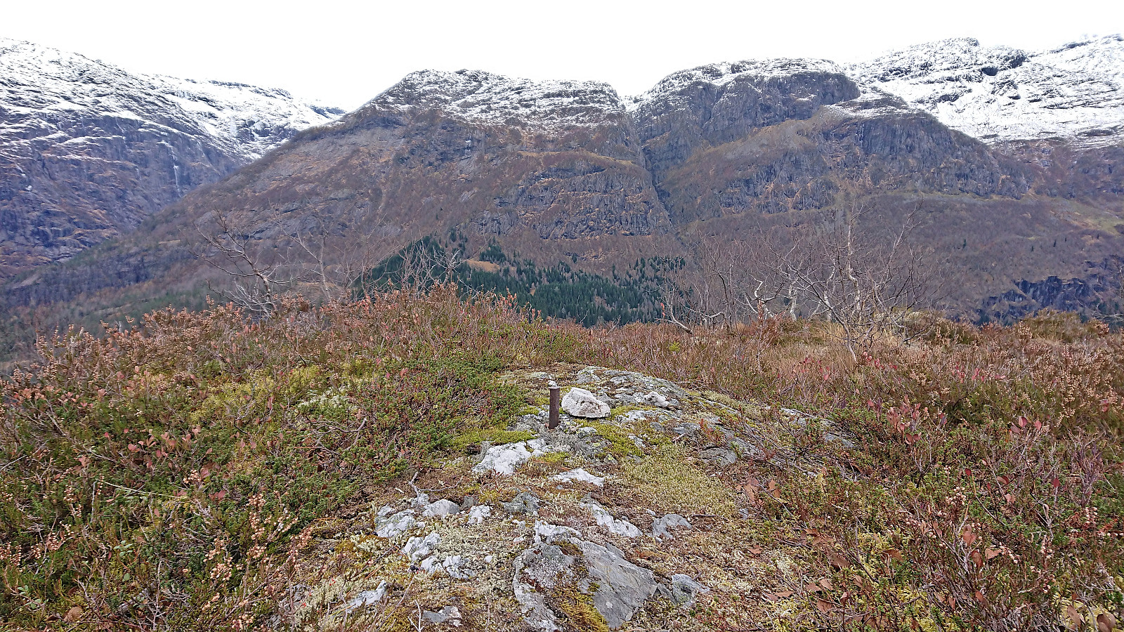
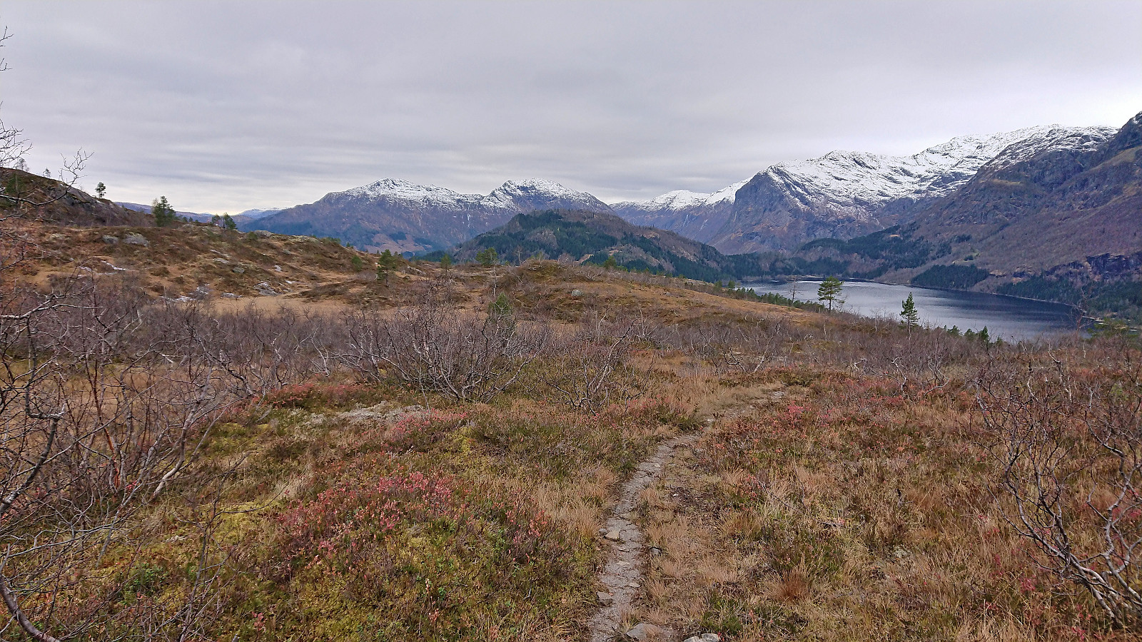
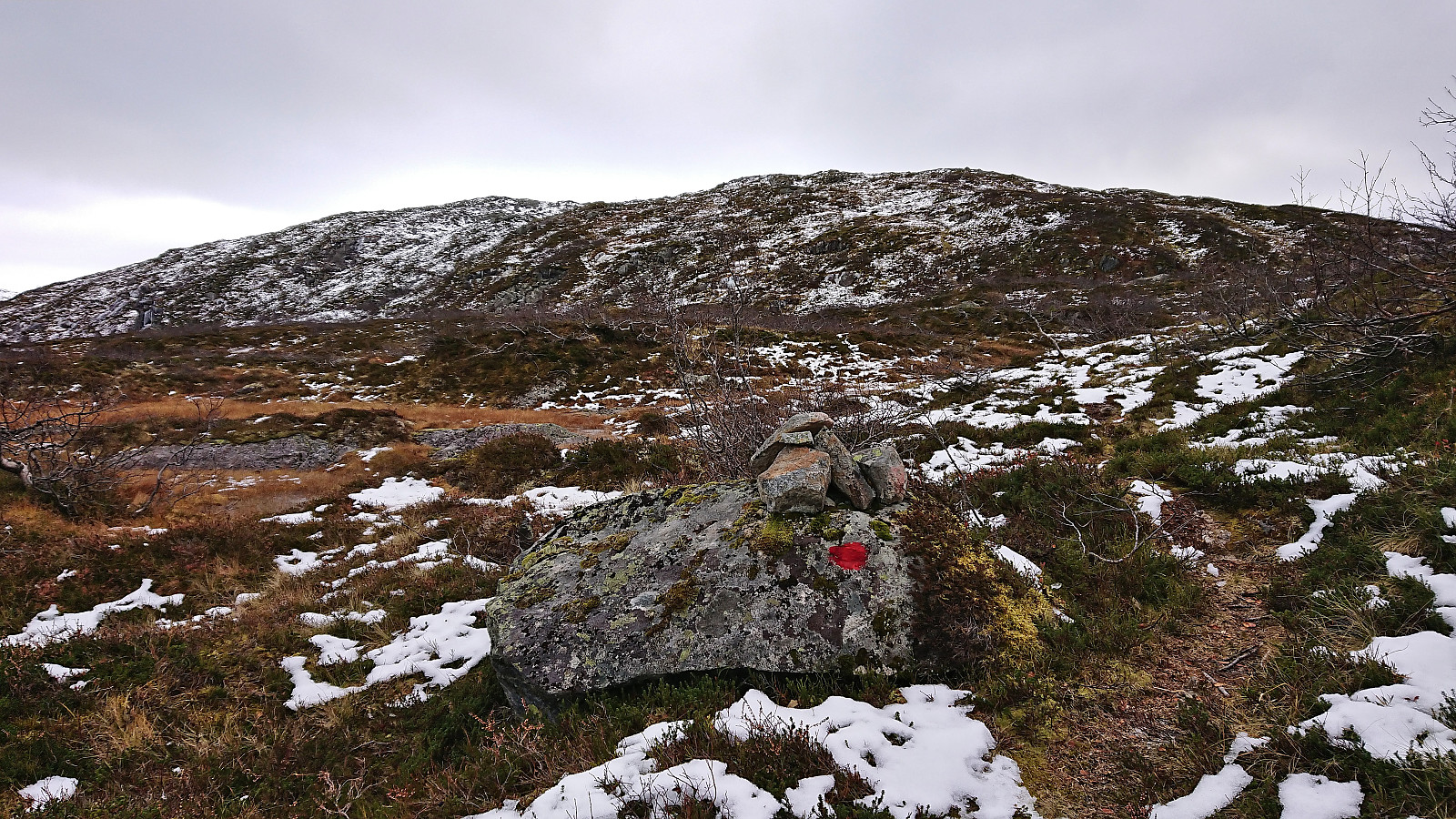
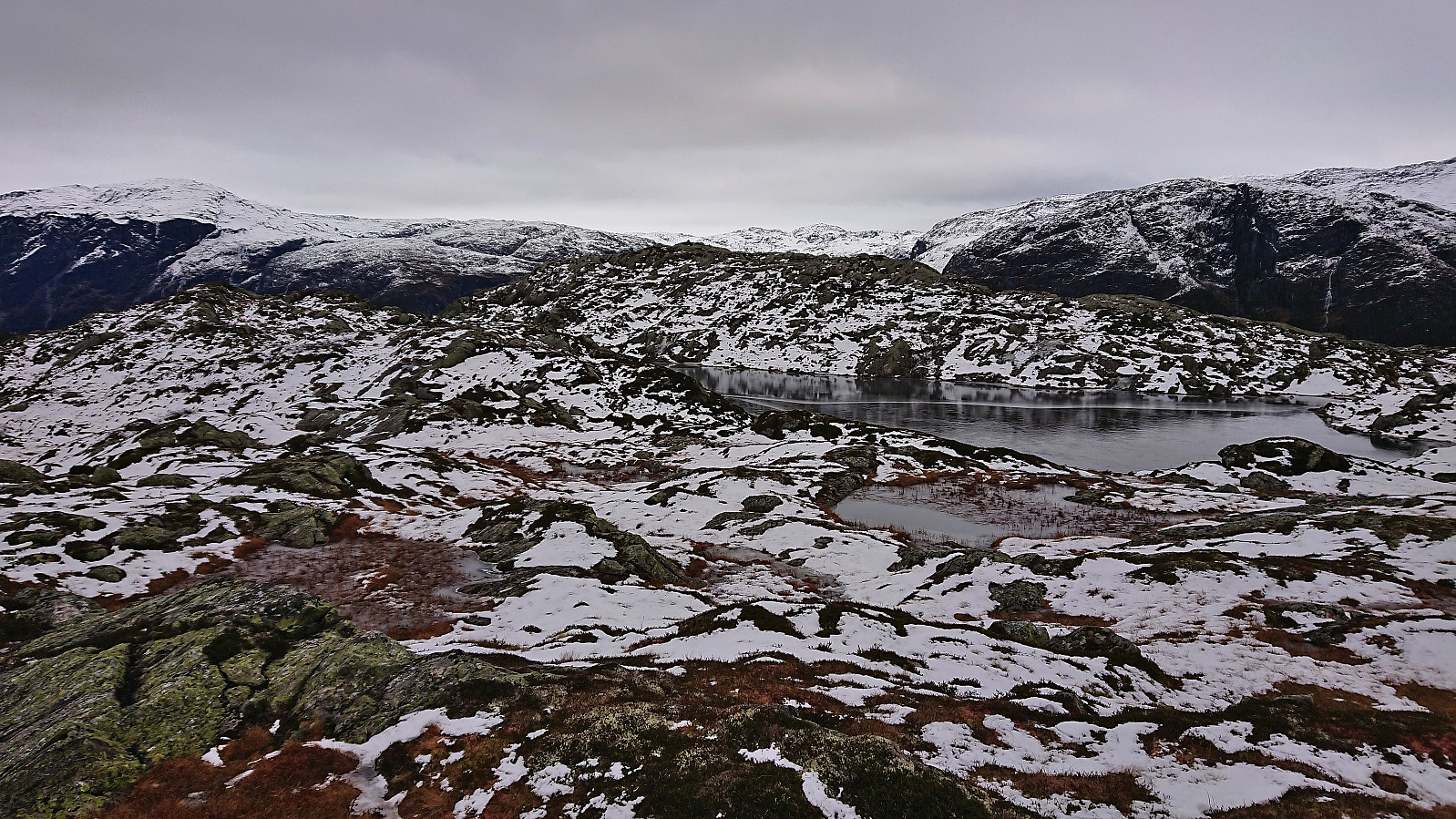
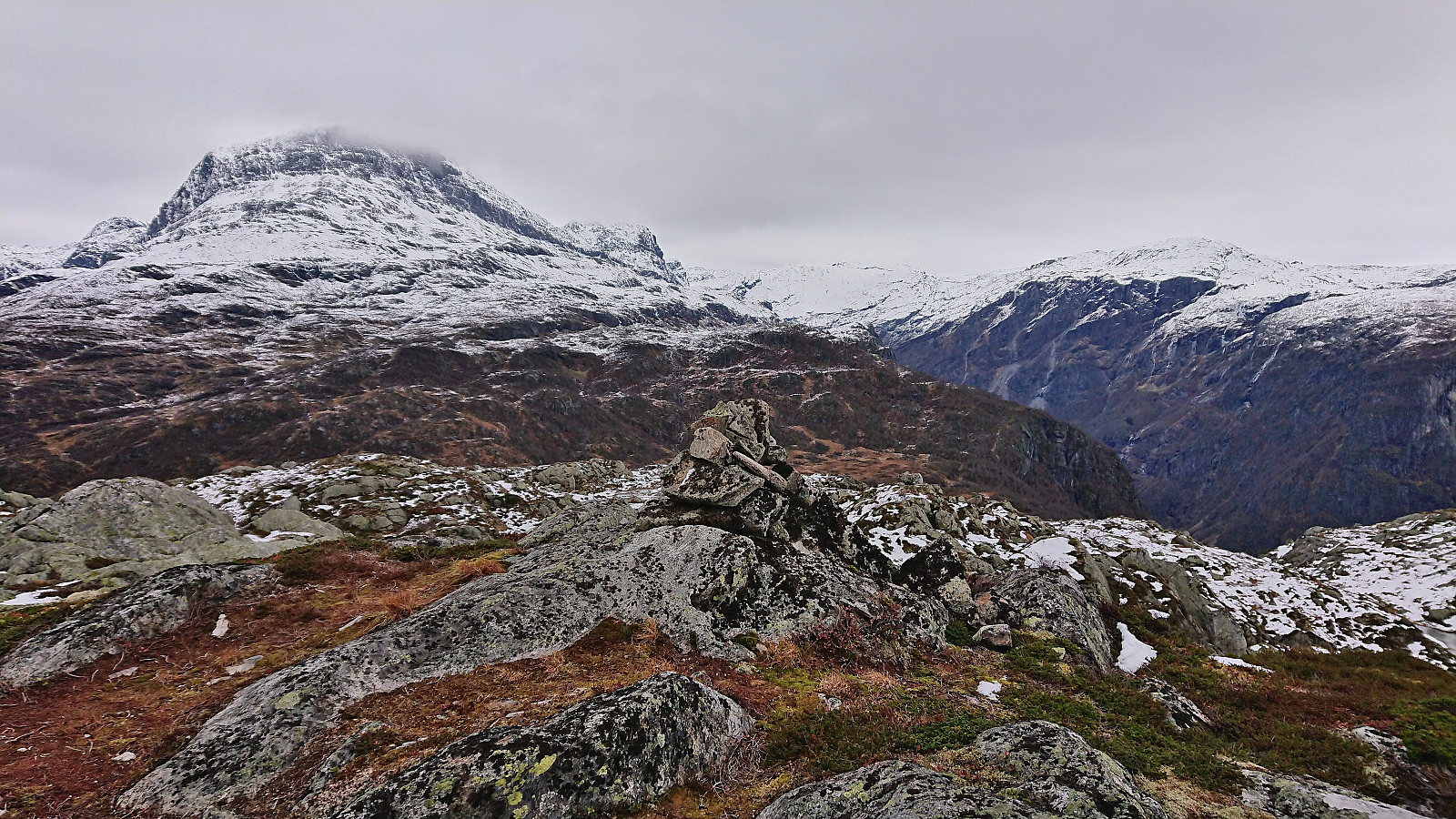
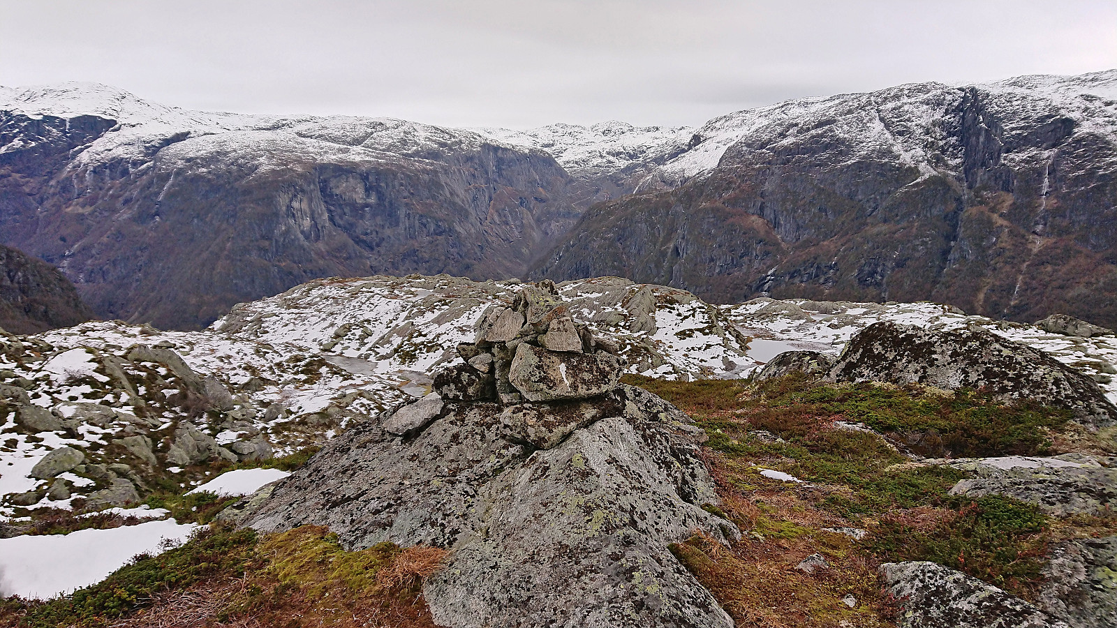
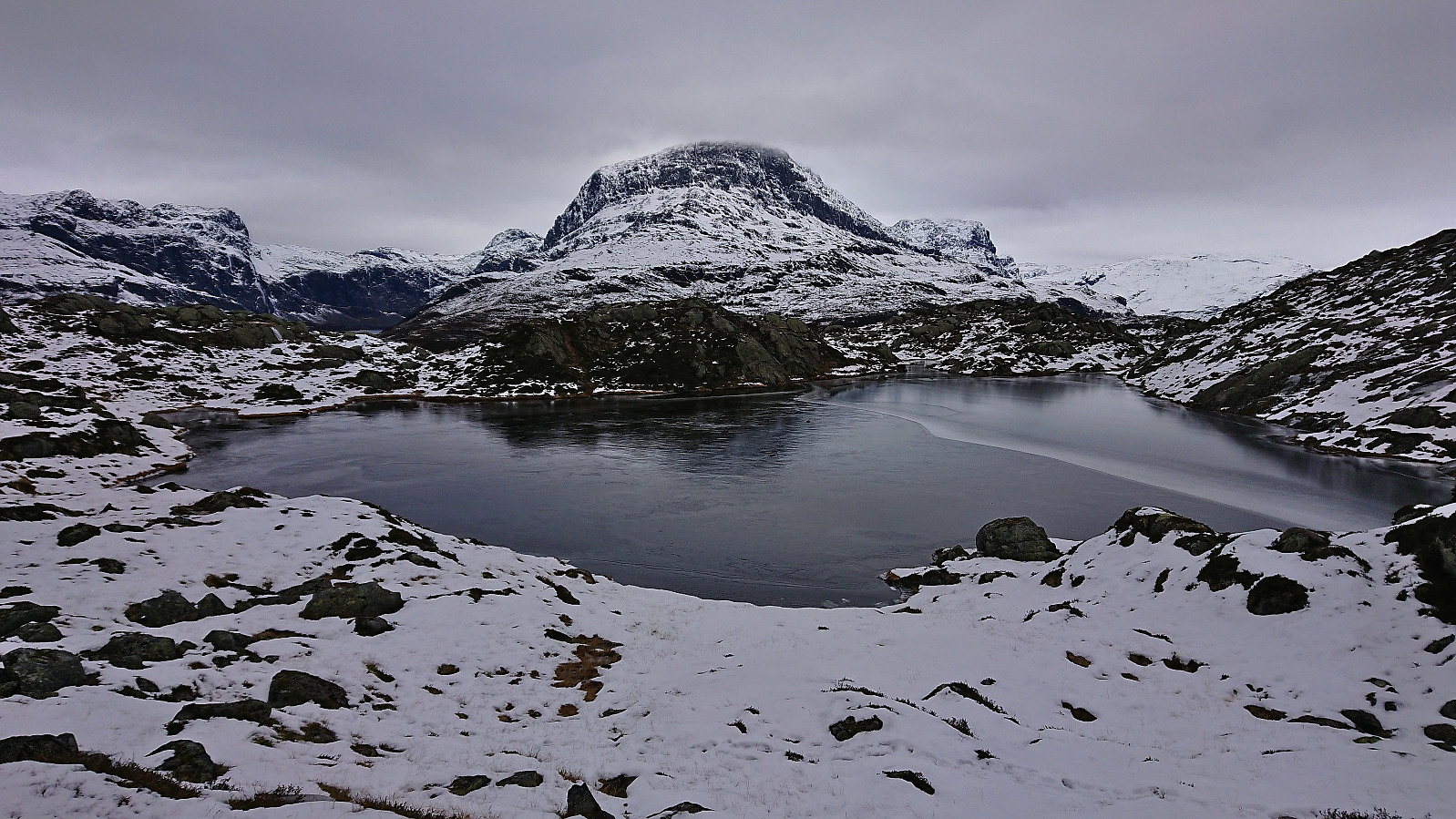
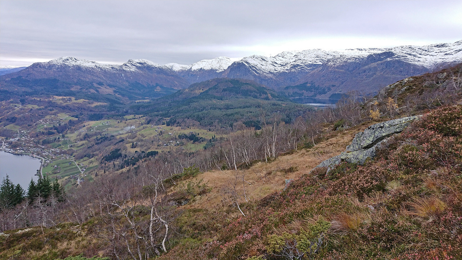
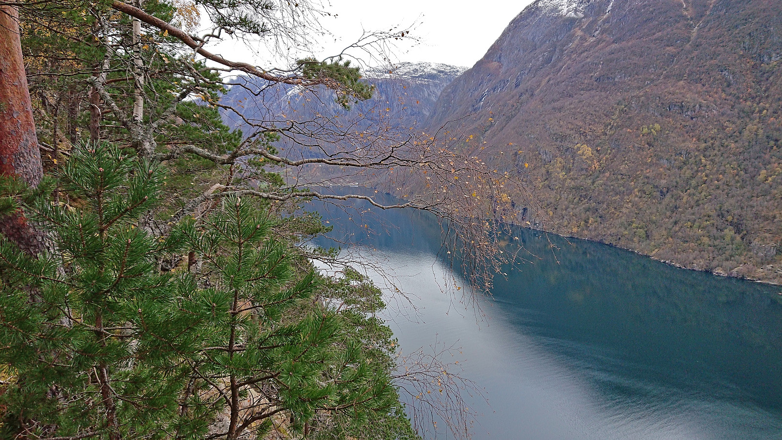
I briefly lost the trail as I was passing through Jonstølen but quickly relocated it just to the north. From there on there were red trail markers that could be followed all the way to Kristinuten. I still lost the trail a couple of times though and also had to leave it every now and then to escape ice-covered areas. Whether the trail markers continue to the summit I'm also not sure, as by then the ground was covered by snow. In any case, the summit was easy to locate and provided great views.
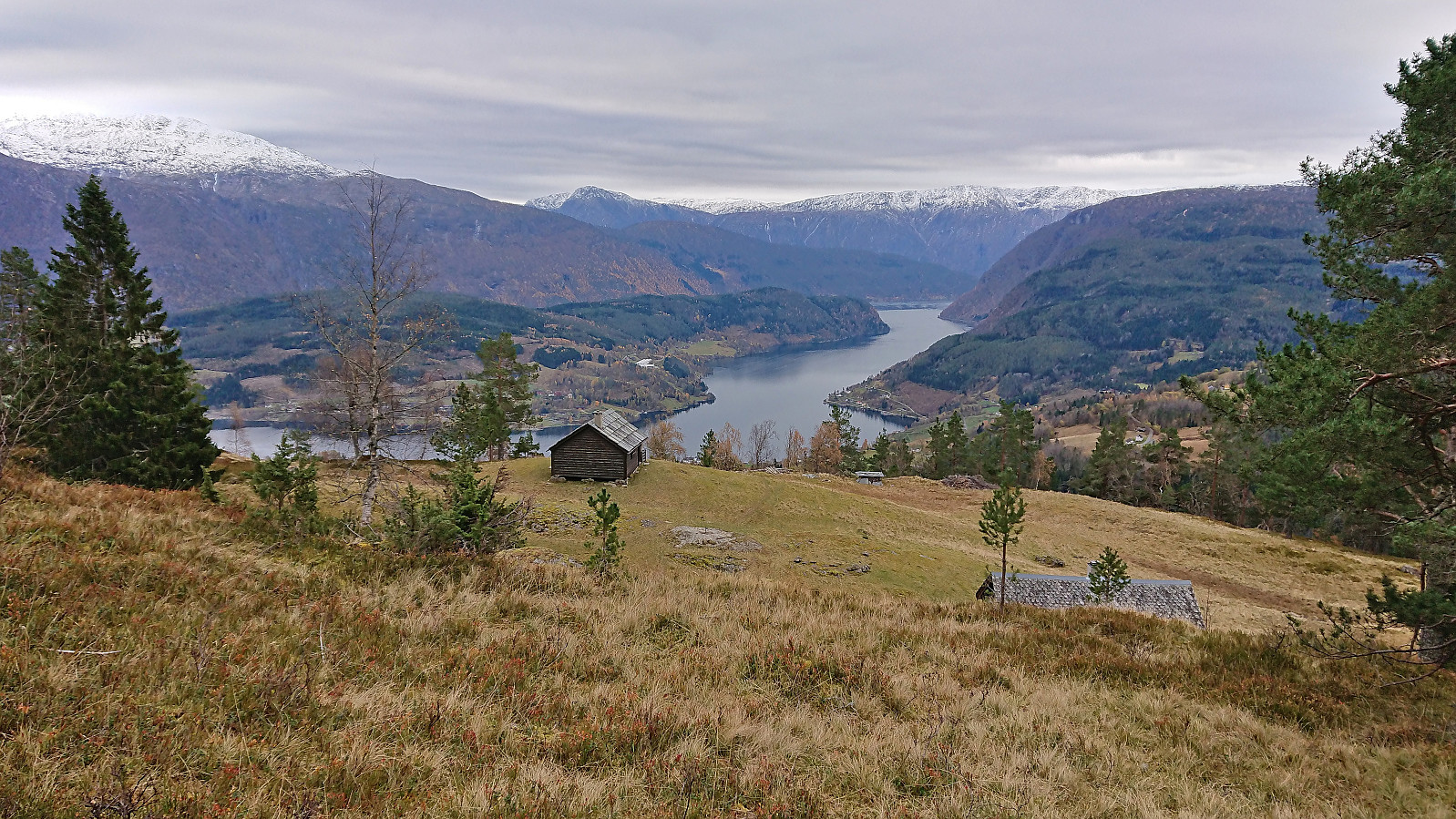
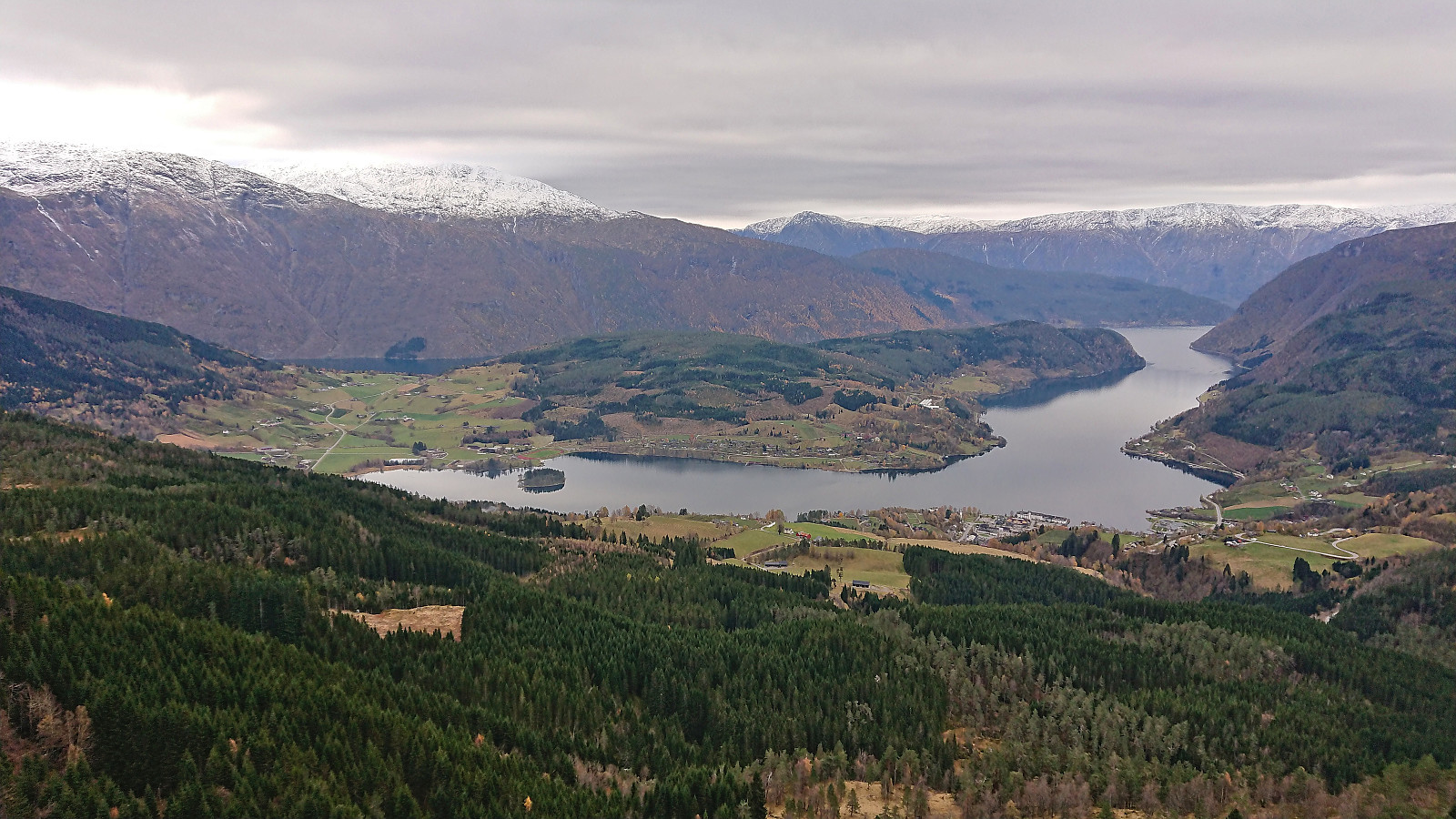
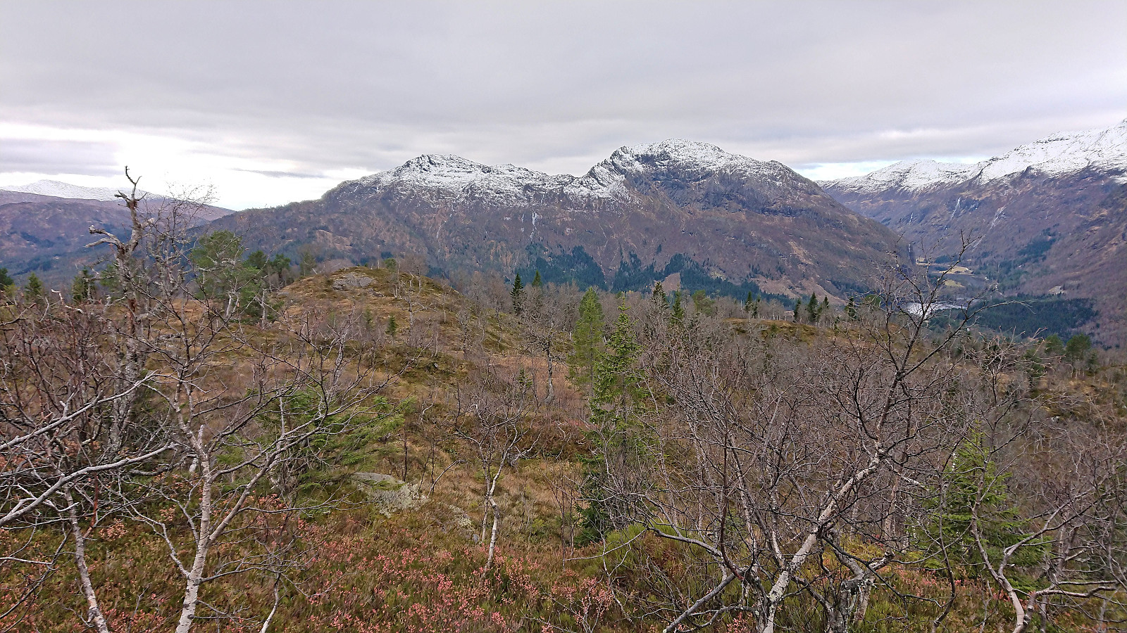
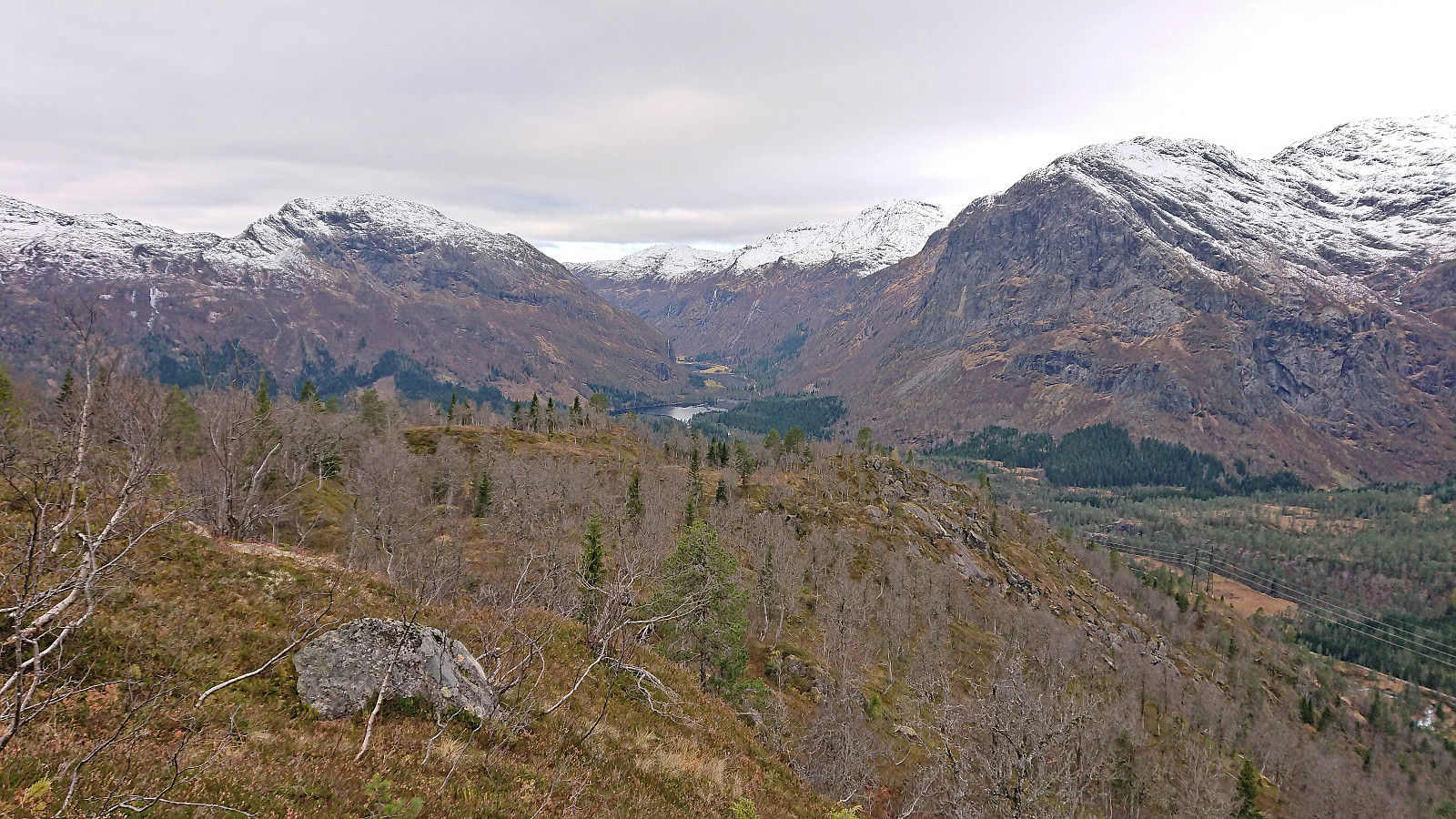
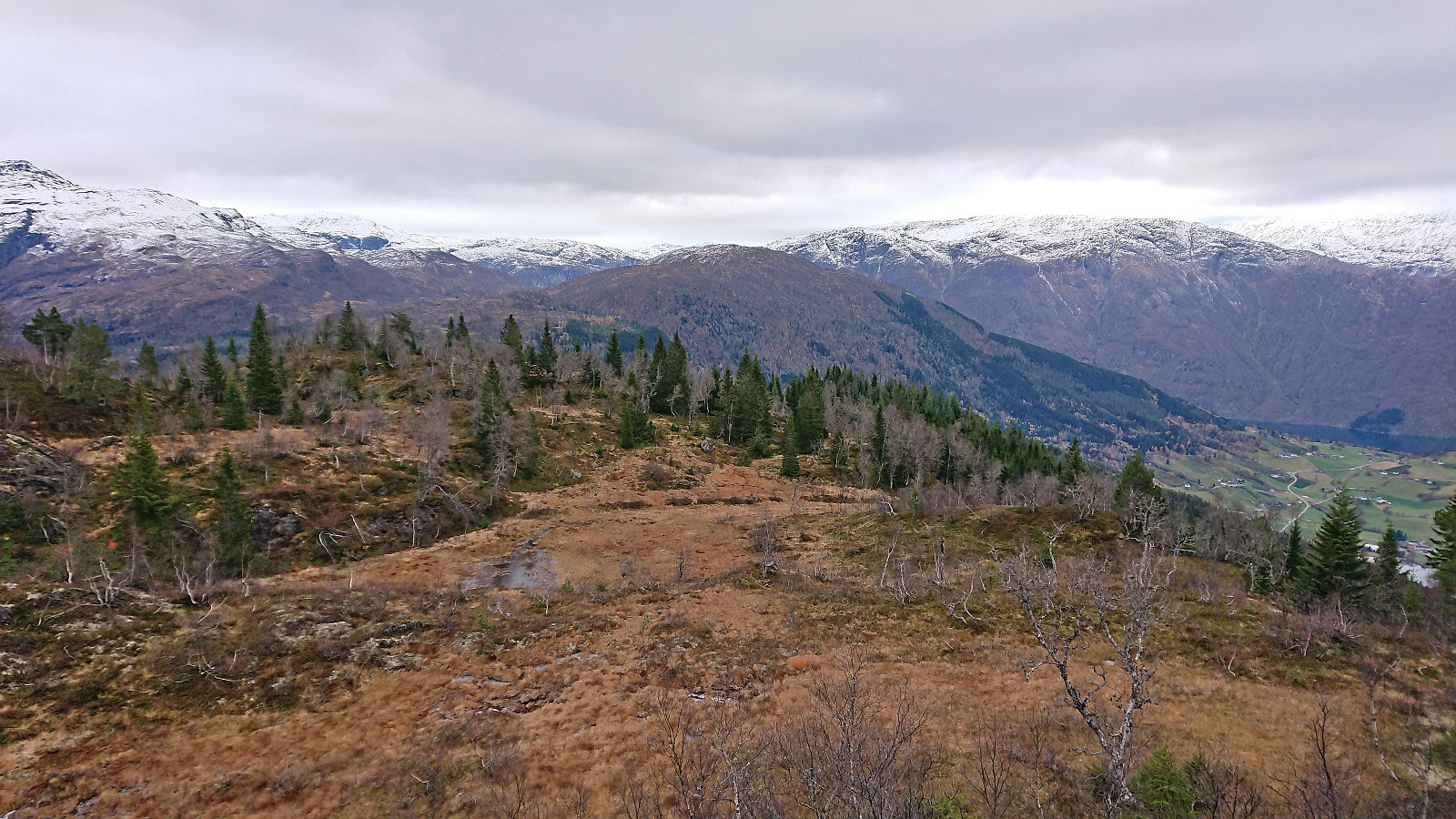
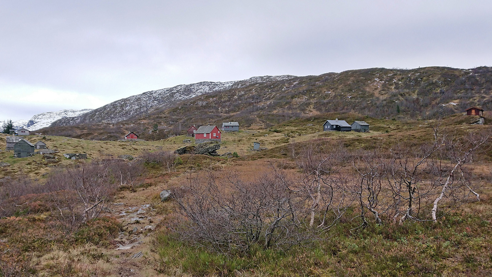
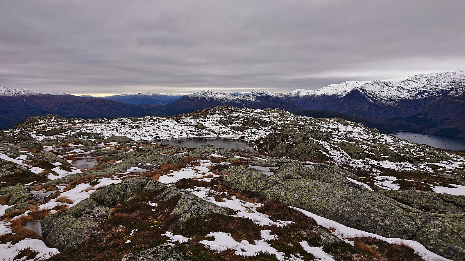
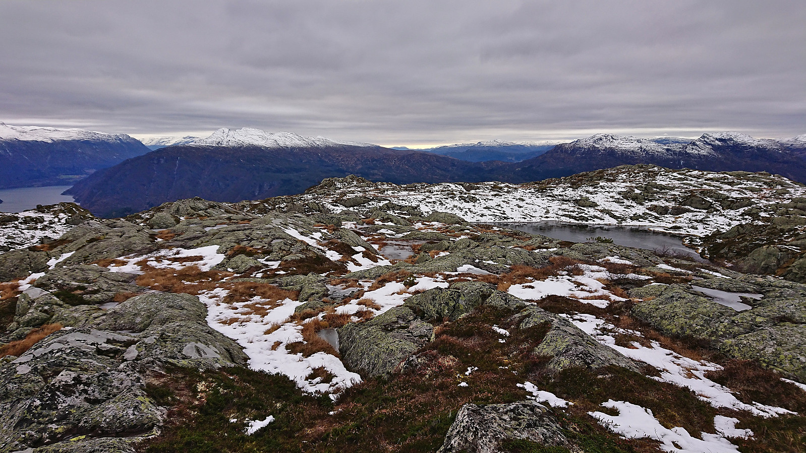
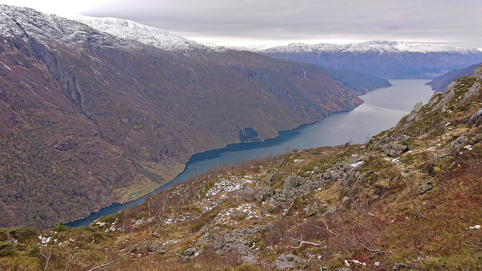
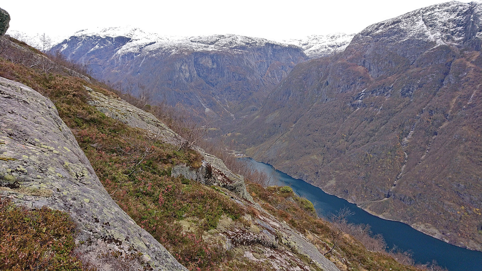
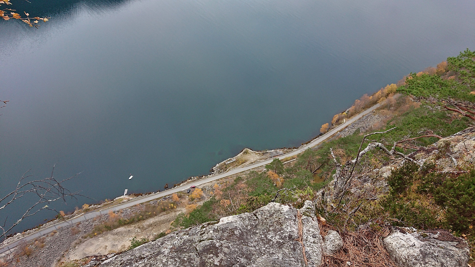
After taking lots of pictures, I relocated the marked trail which I proceeded to follow south/southwest as I descended towards Ulvik. While the trail was marked, one definitely has to pay attention as, at least at the beginning, it is more of a marked route than a marked trail. This however gradually improved as I got further down and at the end even turned into a tractor road. This greatly increased my speed and thus allowed for a short detour to Jobykset and its impressive more than 250 meters vertical drop down to Osafjorden.
All that remained was then to follow the roads down to Ulvikapollen from where I took the bus back to Voss (via Granvin) from the bus stop at Lekve. After waiting around half an hour at Voss, it was finally time for the last stage of the trip, i.e. the train to Bergen (with bus-for-train from Arna to Bergen).
In summary, an excellent hike with spectacular views that can be highly recommended (except perhaps for the shortcut from Kongsberg to Solsævatnet which may not be to everyone’s liking). Such a shame that the promised sunny weather never came to be...
| Starttidspunkt | 27.10.2023 10:53 (UTC+01:00 ST) |
| Sluttidspunkt | 27.10.2023 17:22 (UTC+01:00 ST) |
| Totaltid | 6t 29min |
| Bevegelsestid | 5t 52min |
| Pausetid | 0t 36min |
| Snittfart totalt | 2,9km/t |
| Snittfart bevegelsestid | 3,2km/t |
| Distanse | 19,1km |
| Høydemeter | 1078m |


Kommentarer