
Sævareid to Eikeland via Håvikemulen and Haugafjellet (25.05.2023)

Written by hbar (Harald Barsnes)

| Start point | Sævareid kryss (16m) |
|---|---|
| Endpoint | Eikelandsosen (17m) |
| Characteristic | Hillwalk |
| Duration | 4h 49min |
| Distance | 13.6km |
| Vertical meters | 1,132m |
| GPS |
|
| Ascents | Haugafjellet (540m) | 25.05.2023 |
|---|---|---|
| Håvikemulen (489m) | 25.05.2023 |
Sævareid to Eikeland via Håvikemulen and Haugafjellet
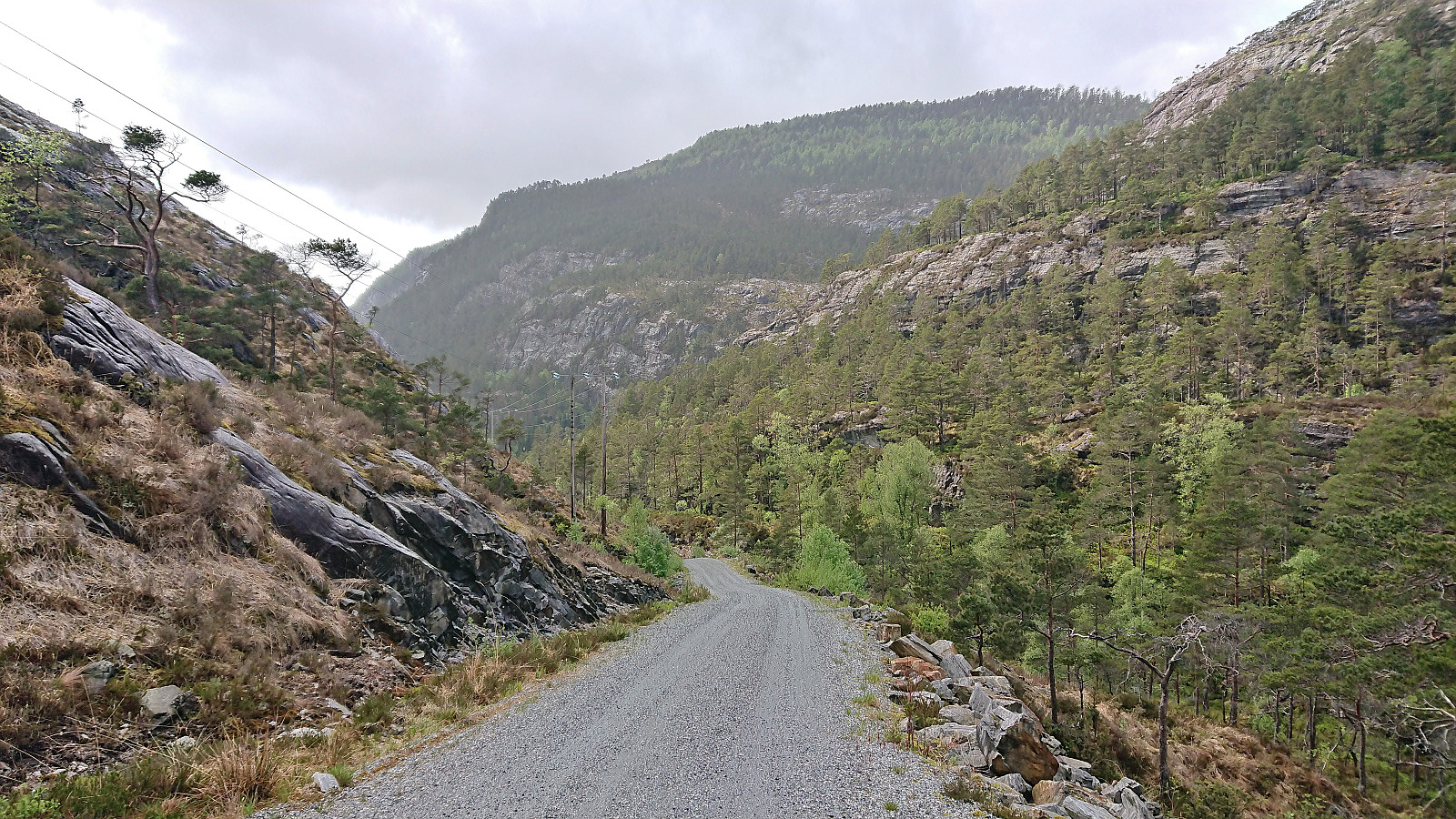


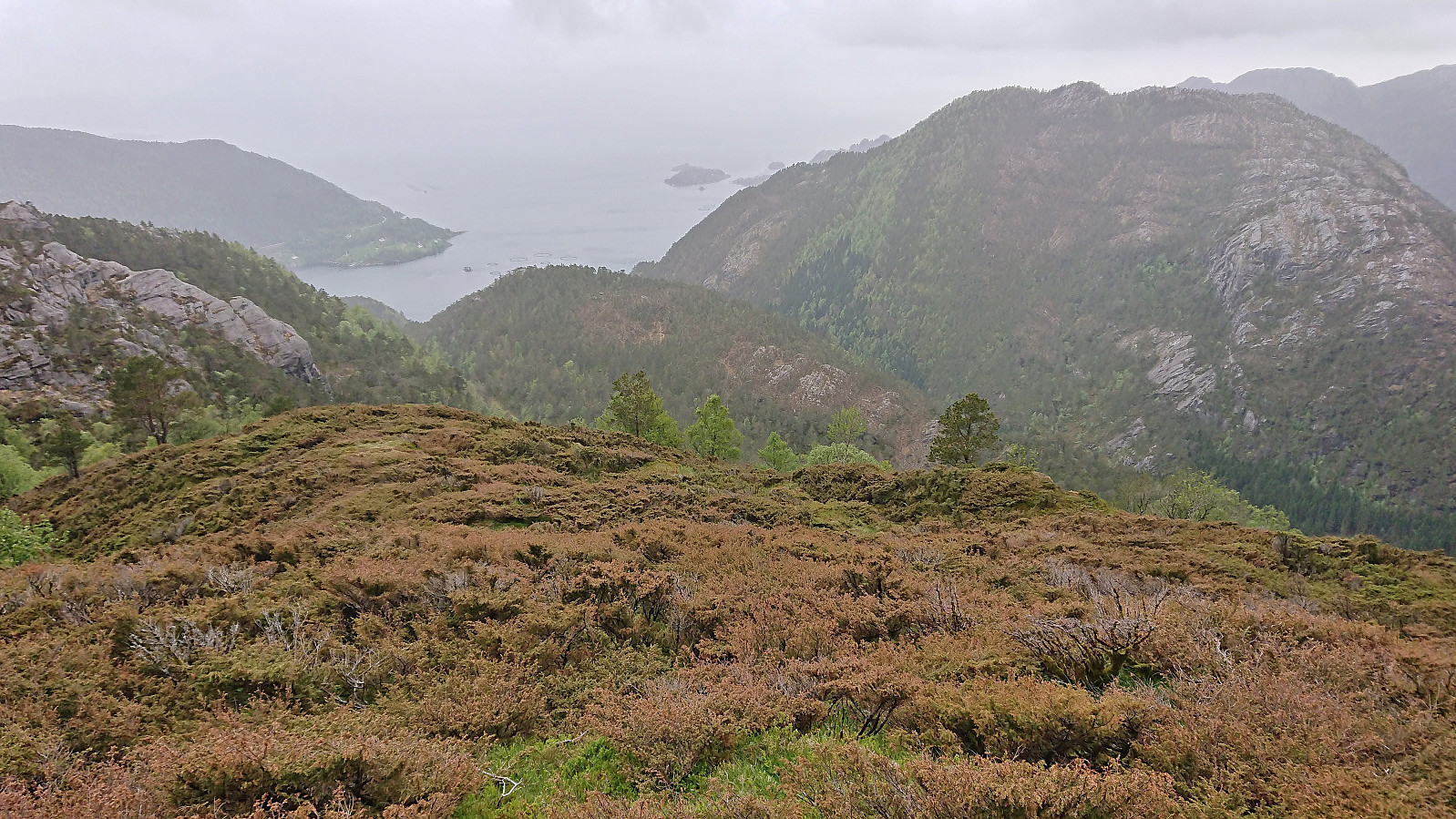
As usual after attending a conference at Solstrand, I took a slightly longer detour on the way home than my colleagues. So when they took the bus back to Bergen after lunch I instead took the bus and ferry across the fjord to go hiking in Fusa. After switching buses at “Kilen kryss” I continued on a bus to Sævareid where I turned on the GPS tracking and followed the roads west to Ljotå.
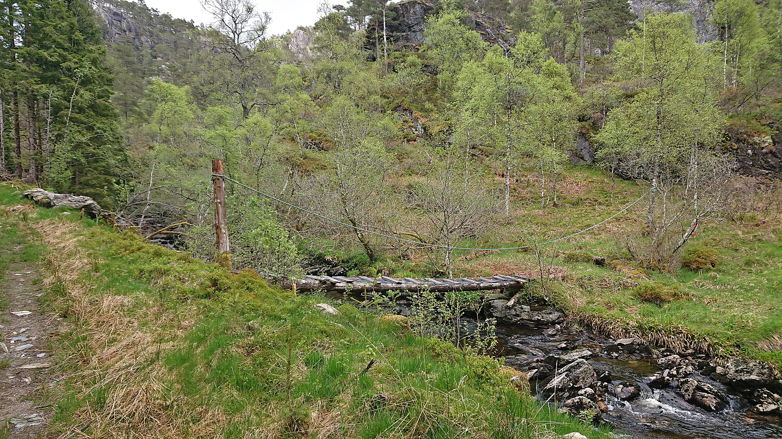
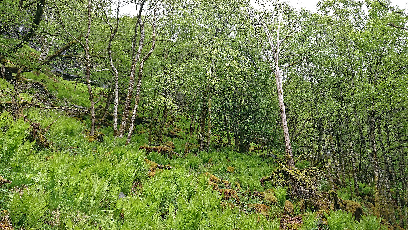
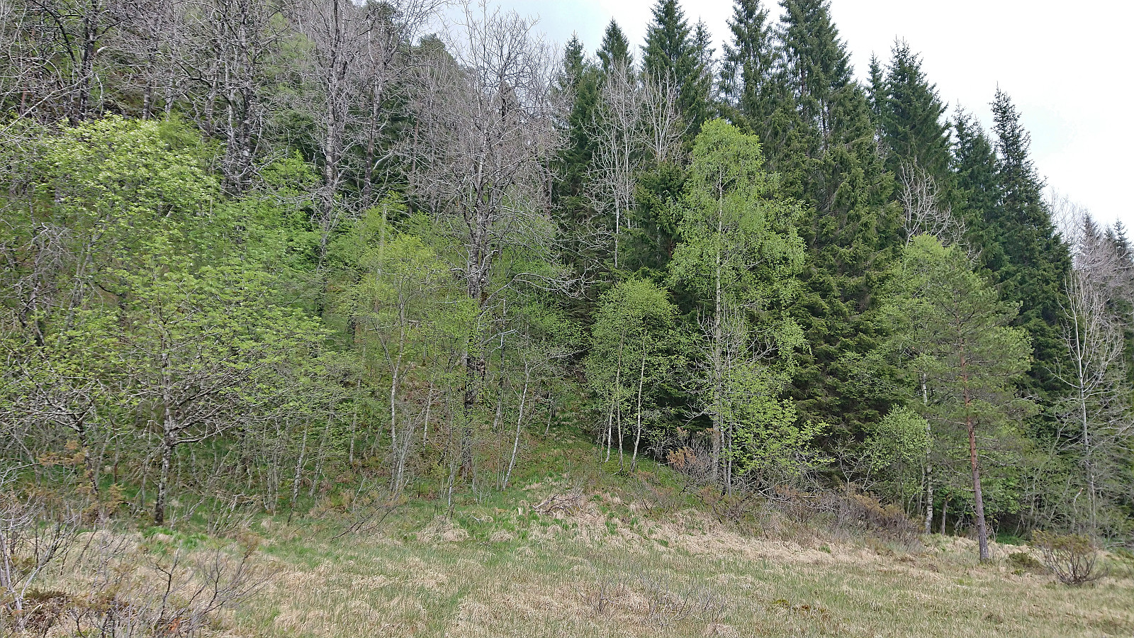
My initial plan had been to continue up Ljotådalen for about 1 km and from there head southwest to the summit (as this seemed to be the route of previous hikers). However, when I came across a small bridge on the left-hand side of the tractor road much earlier, I took a gamble that perhaps this would reveal a proper trail to the summit of Håvikemulen.
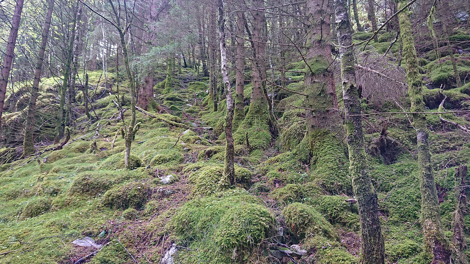
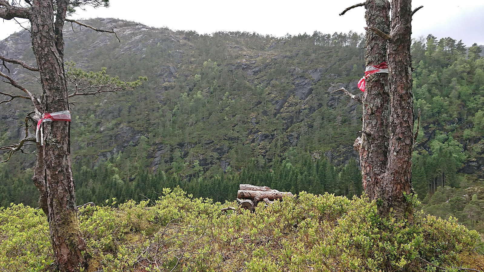
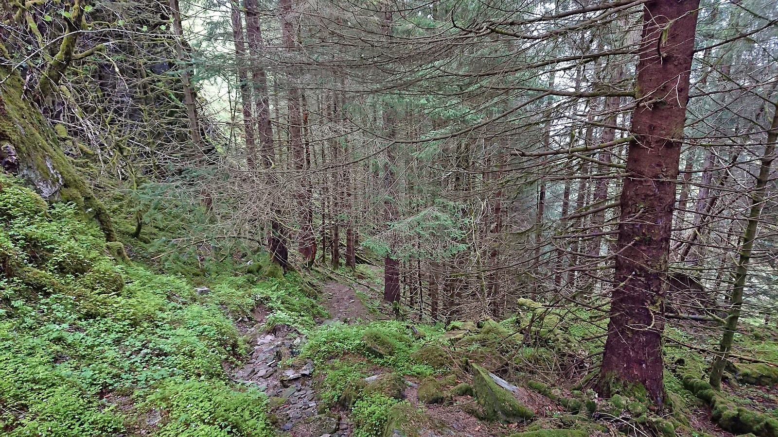
The weak unmarked trail on the other side however soon disappeared, but given that there reportedly was not much of a trail further north either I decided to simply continue off-trail in the direction of the summit. I did come across a single trail marker about halfway to the summit, but there was nothing but the occasional deer track to follow as far as I could tell.
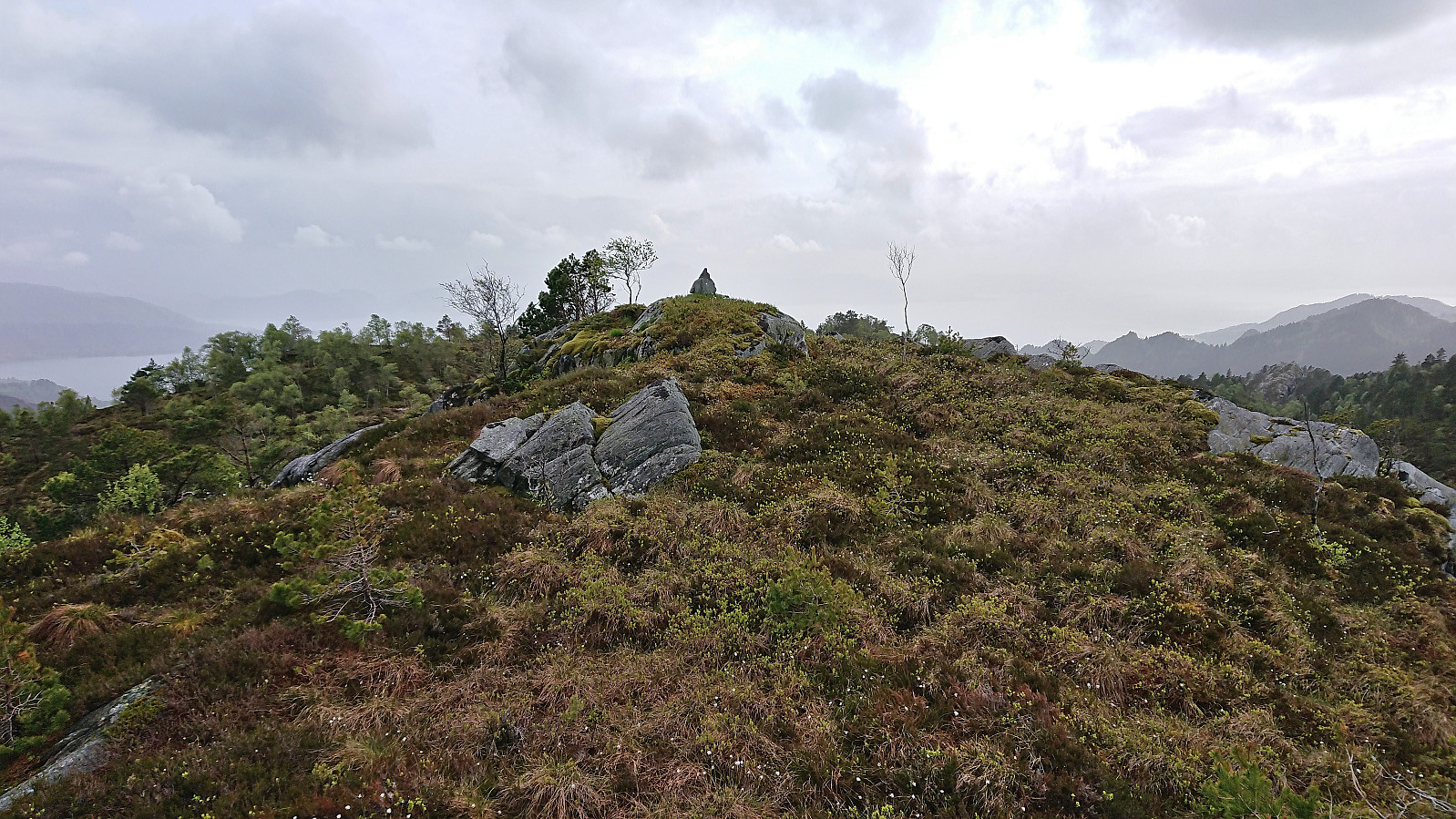
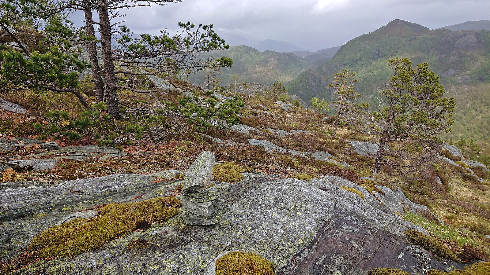
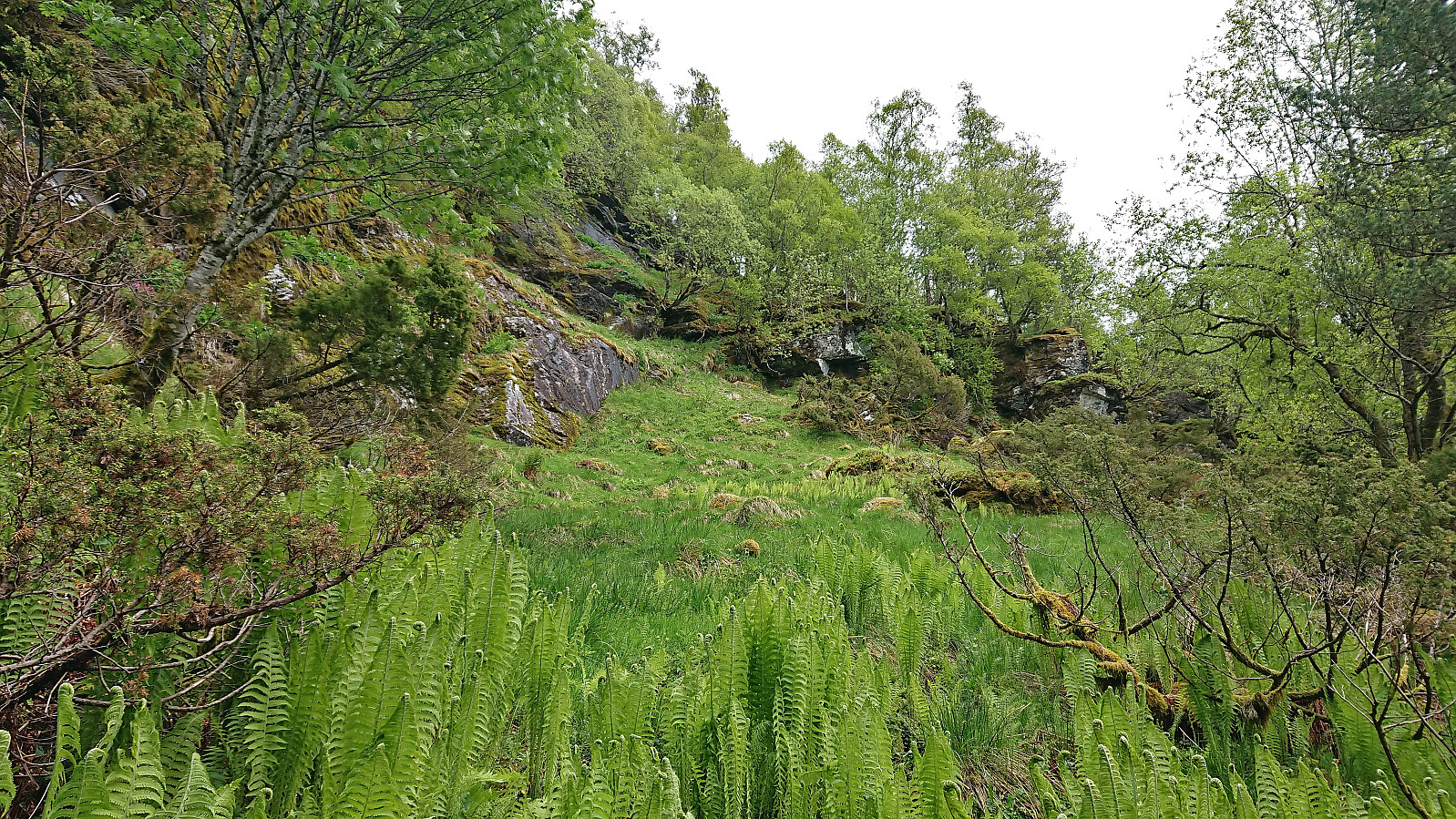
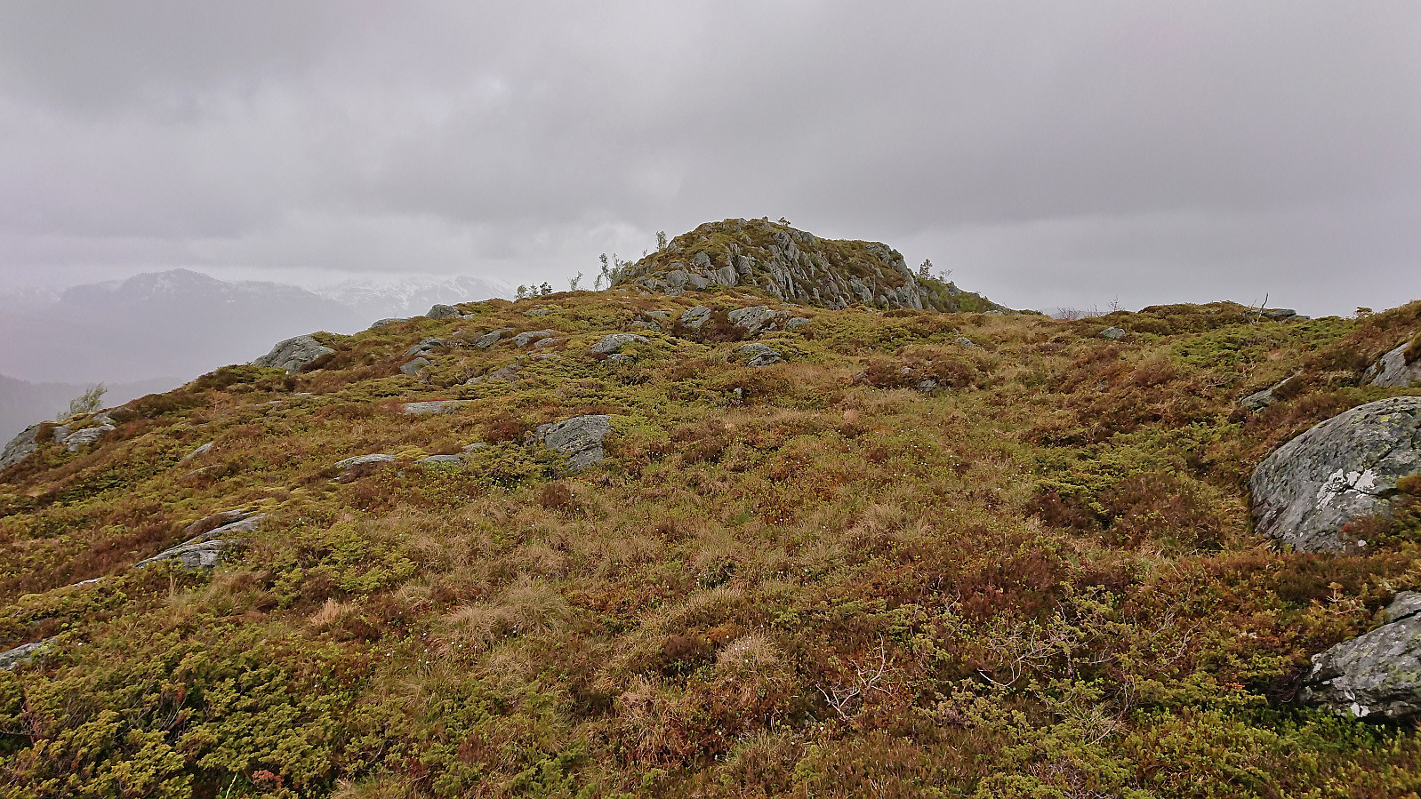
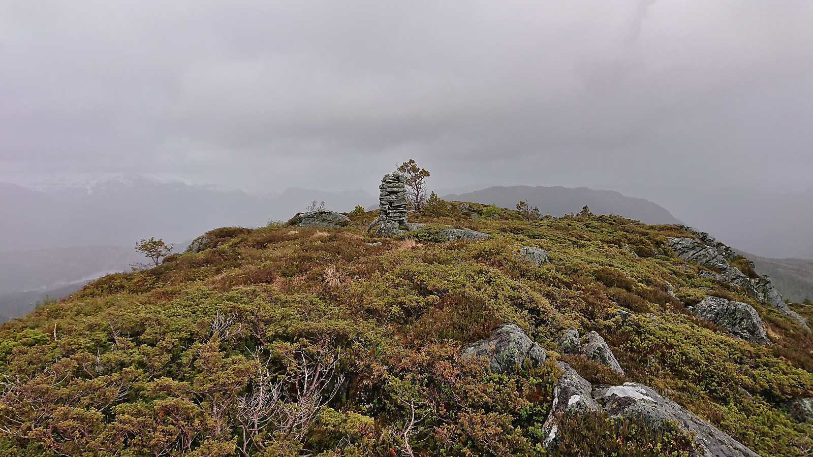
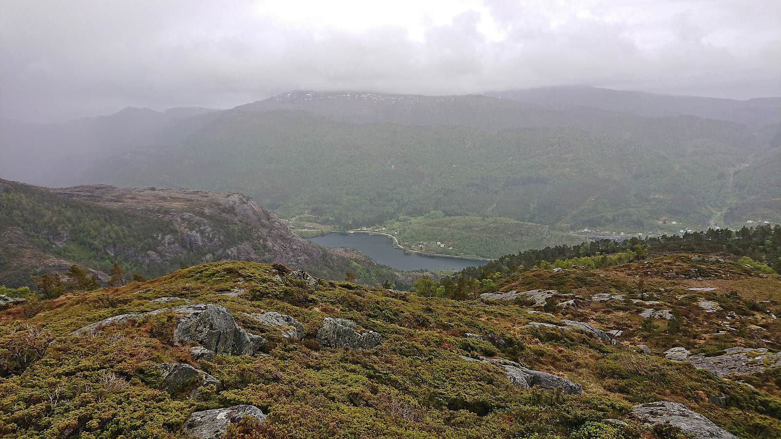
In the end, the summit was still reached without any real challenges and there was even a bit of sunshine as I was taking pictures of the tiny summit cairn. I did not stay long before descending northeast back into Ljotådalen. Here I came across a small cairn or two but as I could never spot the next cairn I was overall left to finding my own way. There was a steep area towards the end that had to be avoided, but other than that the descent was straightforward.
With my next goal being Haugafjellet on the other side of Ljotådalen, I now had two options. Either head north and then east to ascend Haugafjellet via the ridge from the northeast or attempt to find a more direct route. The latter would definitely be shorter, however the terrain looked rather steep and there did not seem to be any trails. Before the trip I had however read petter (Petter Bjørstad)'s external trip report where he had successfully descended from Haugafjellet in the opposite direction. Encouraged by this I decided to have a go at the direct ascent.
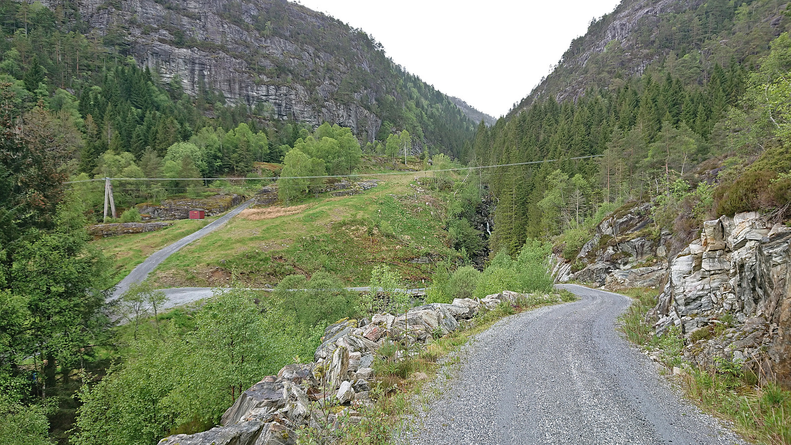
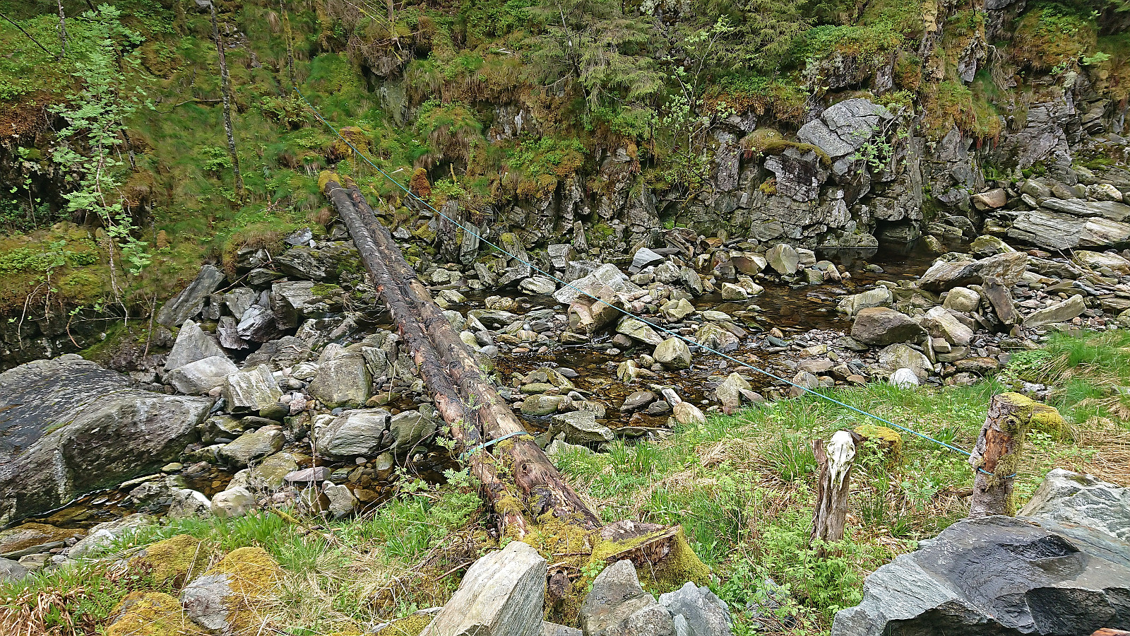
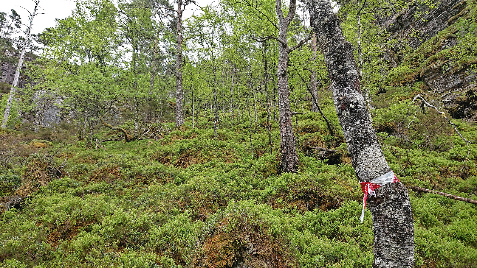
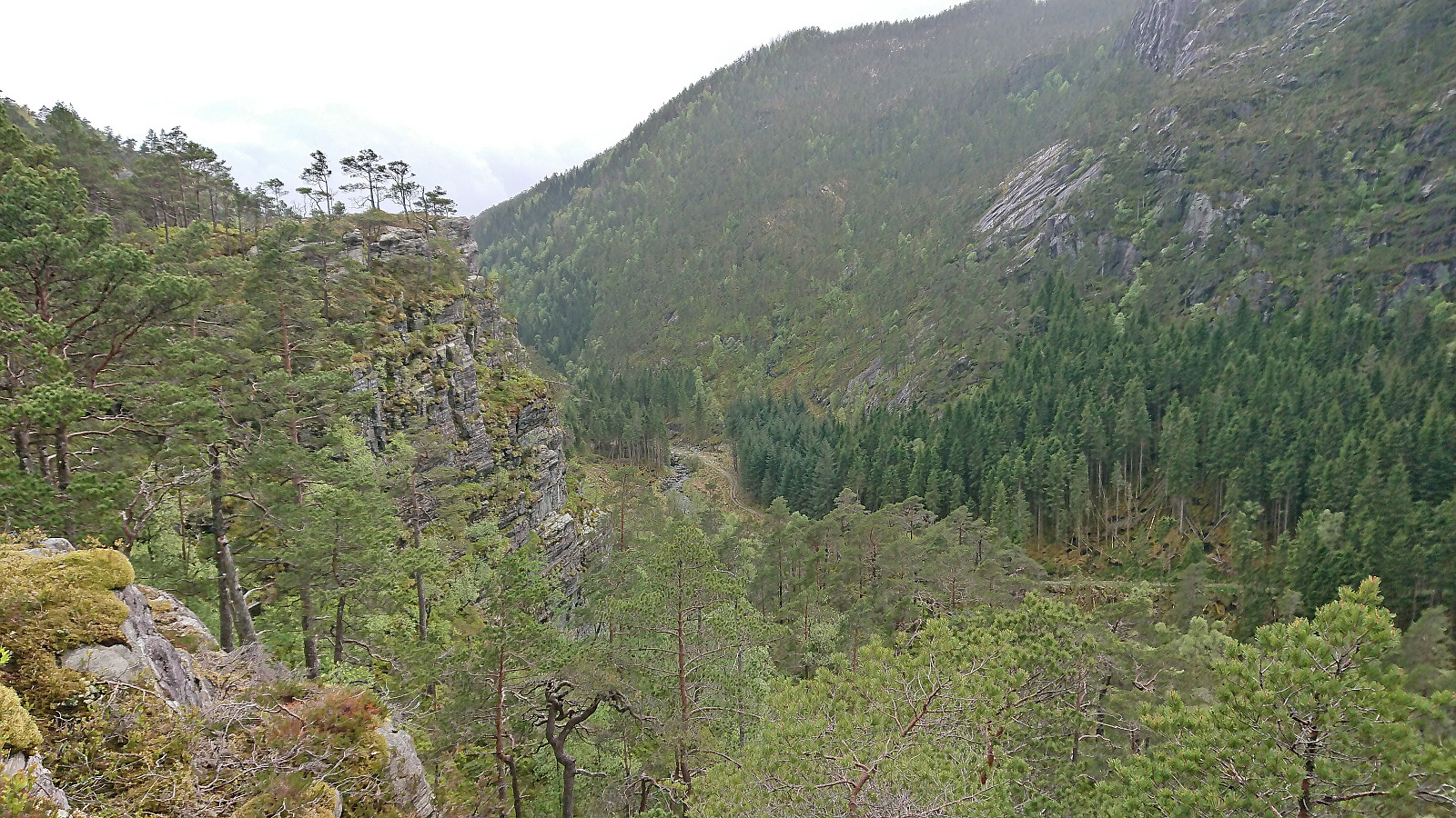
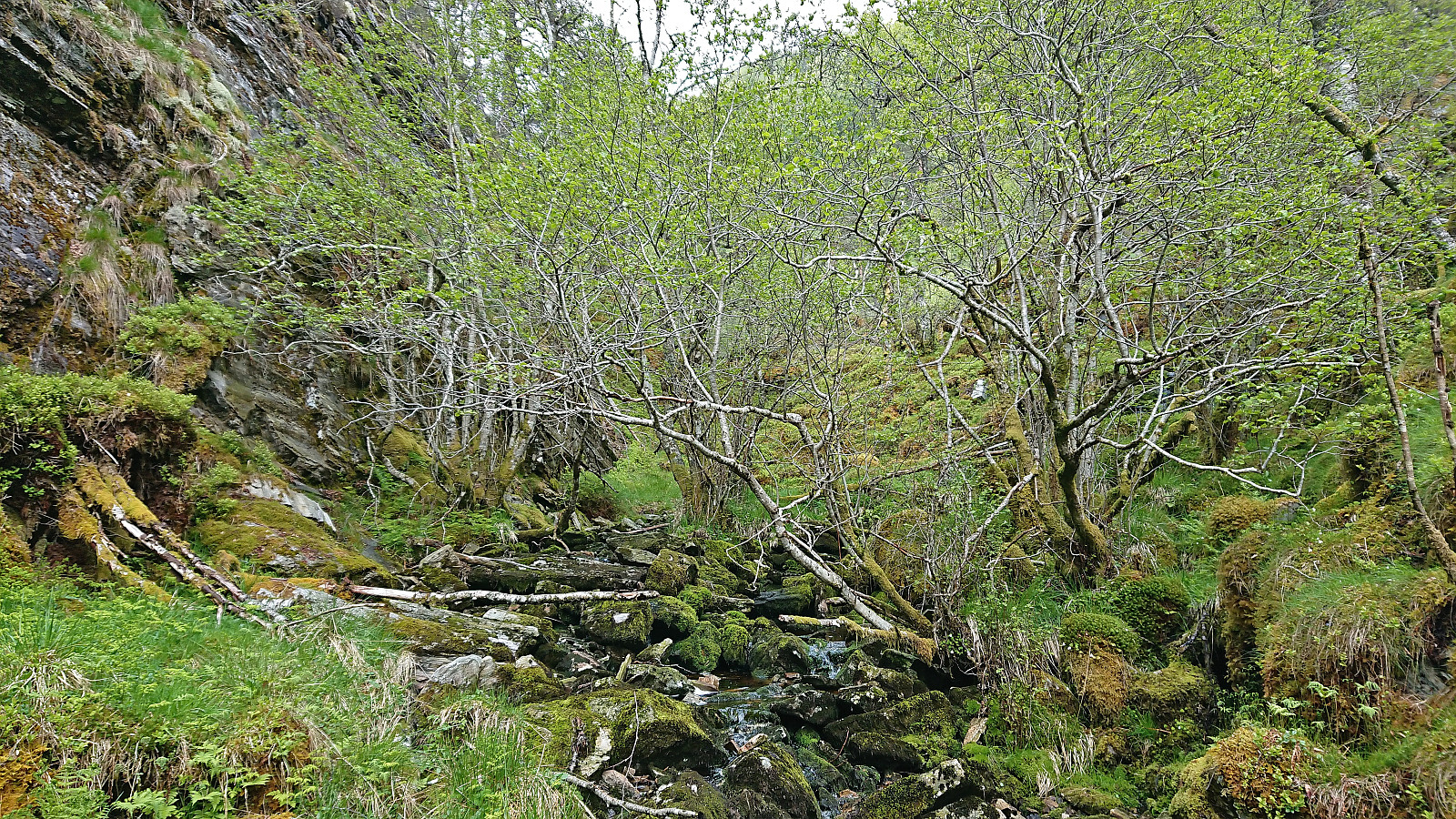
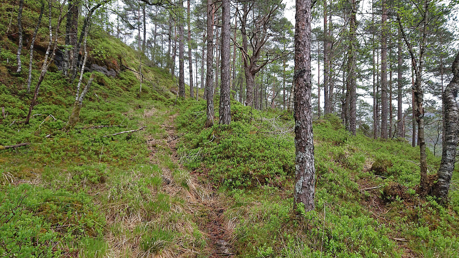
First, I briefly continued north along the tractor road in Ljotådalen. Here I came across another bridge similar to the one I had used at the start of my ascent to Håvikemulen. This time there were even trail markers on the other side. I therefore crossed the river and followed the markers northeast. While the markers were frequent and easy to follow, the trail itself quickly disappeared. So when the trail markers also ended at a point with a nice view across the valley, I was again left with having to find my own way.
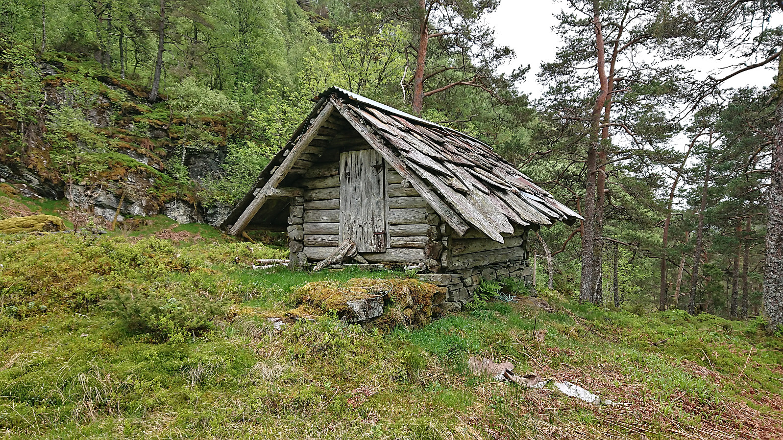
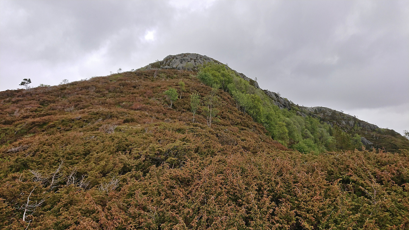
The terrain however did not give me many options and the only way forward was to continue northeast. This was overall straightforward and I soon arrived at a small old building with a stone roof just east of Skaret. So far, so good. But from here on the map indicated that it would get much steeper and I would have to navigate carefully in order to avoid areas where hiking would quickly turn into climbing.
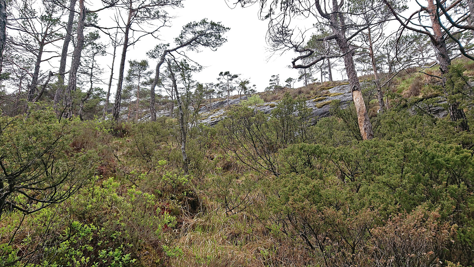
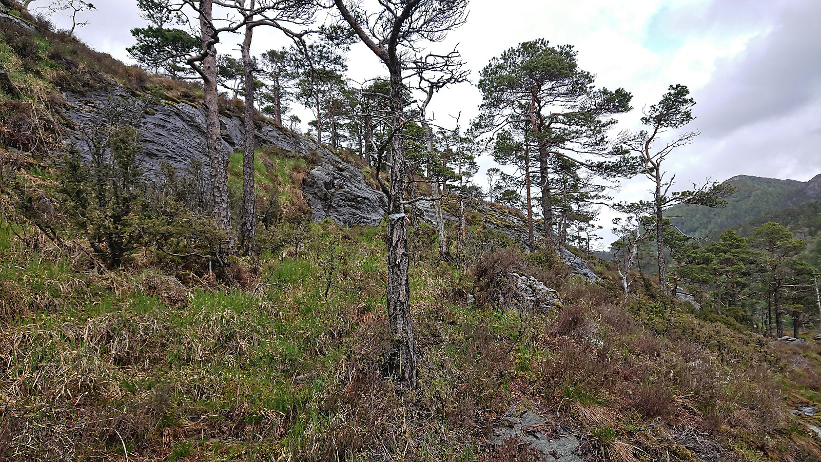
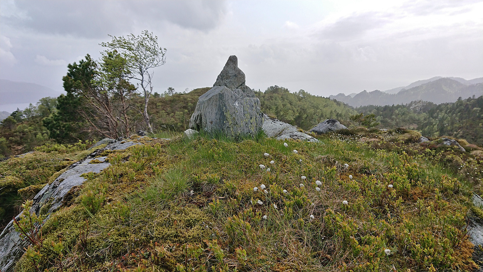
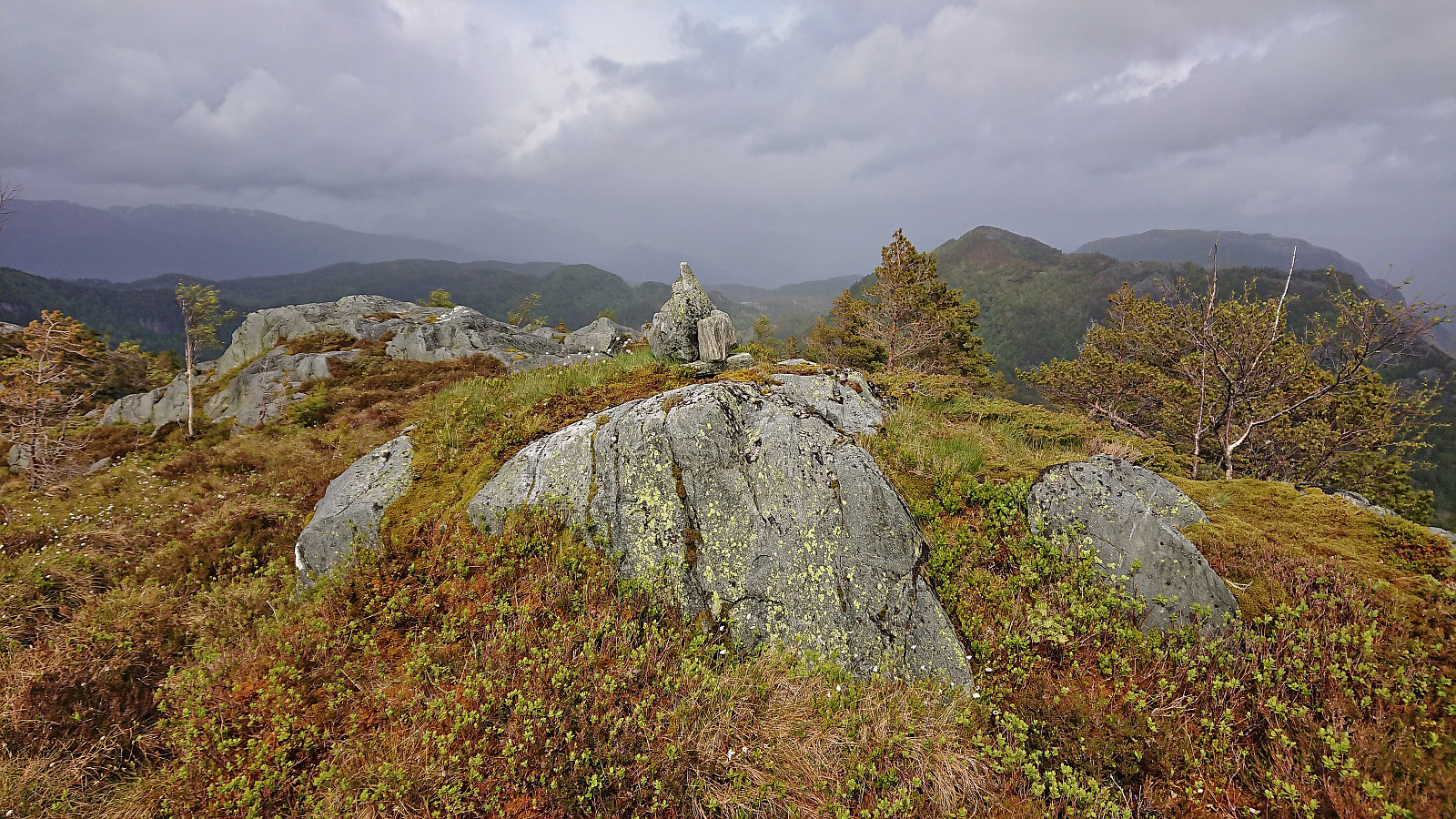
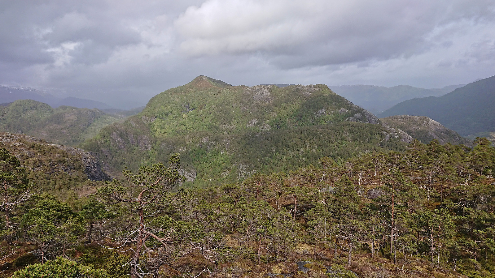
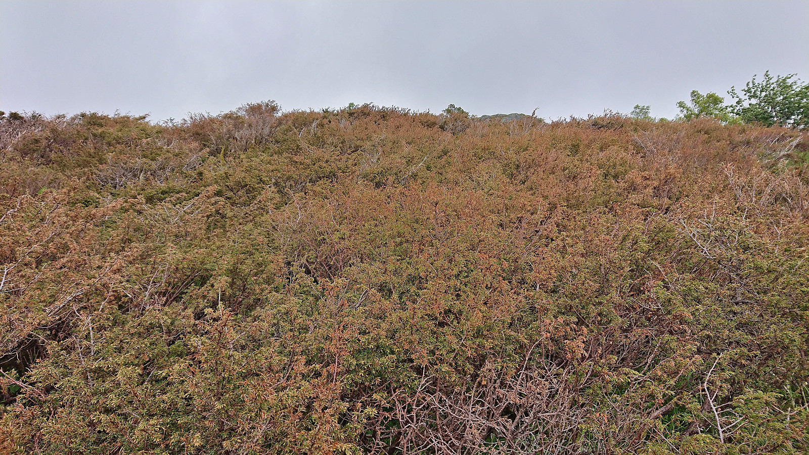
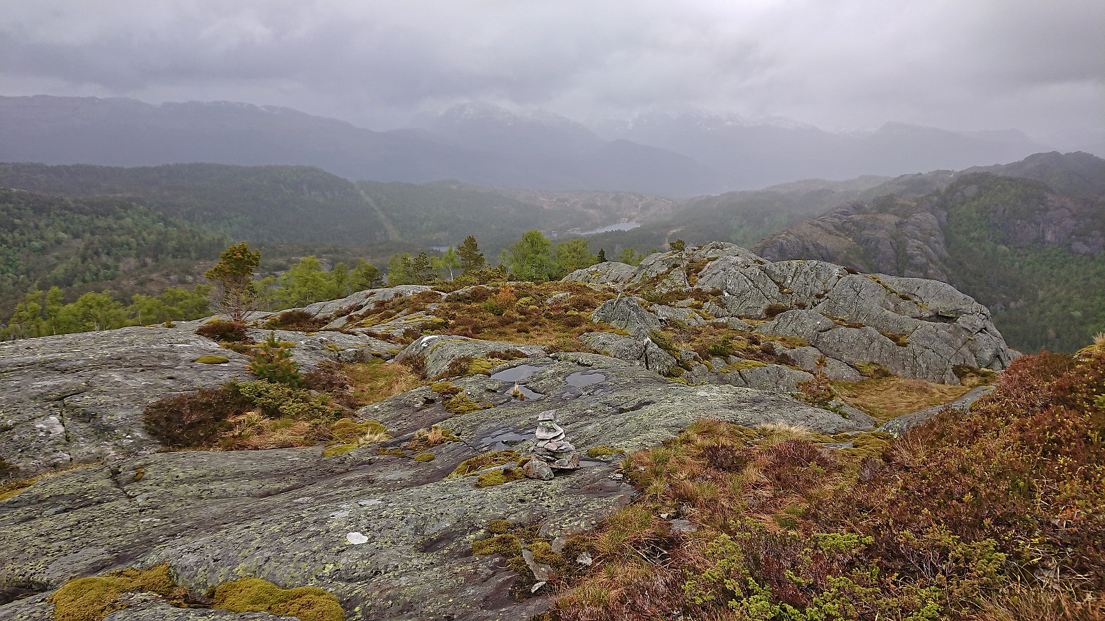
In the end, the ascent turned out to be less difficult than feared. Except for one spot requiring a bit of light scrambling it was actually relatively straightforward to ascend to the start of the summit ridge. Making progress along the much flatter ridge was in some respects more difficult, as it involved fighting with dense and thorny juniper bushes.
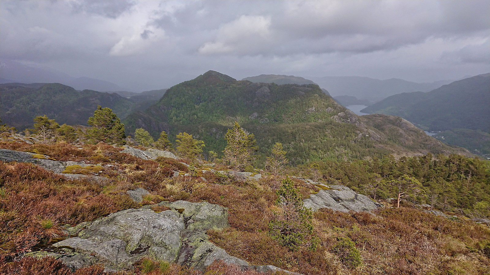
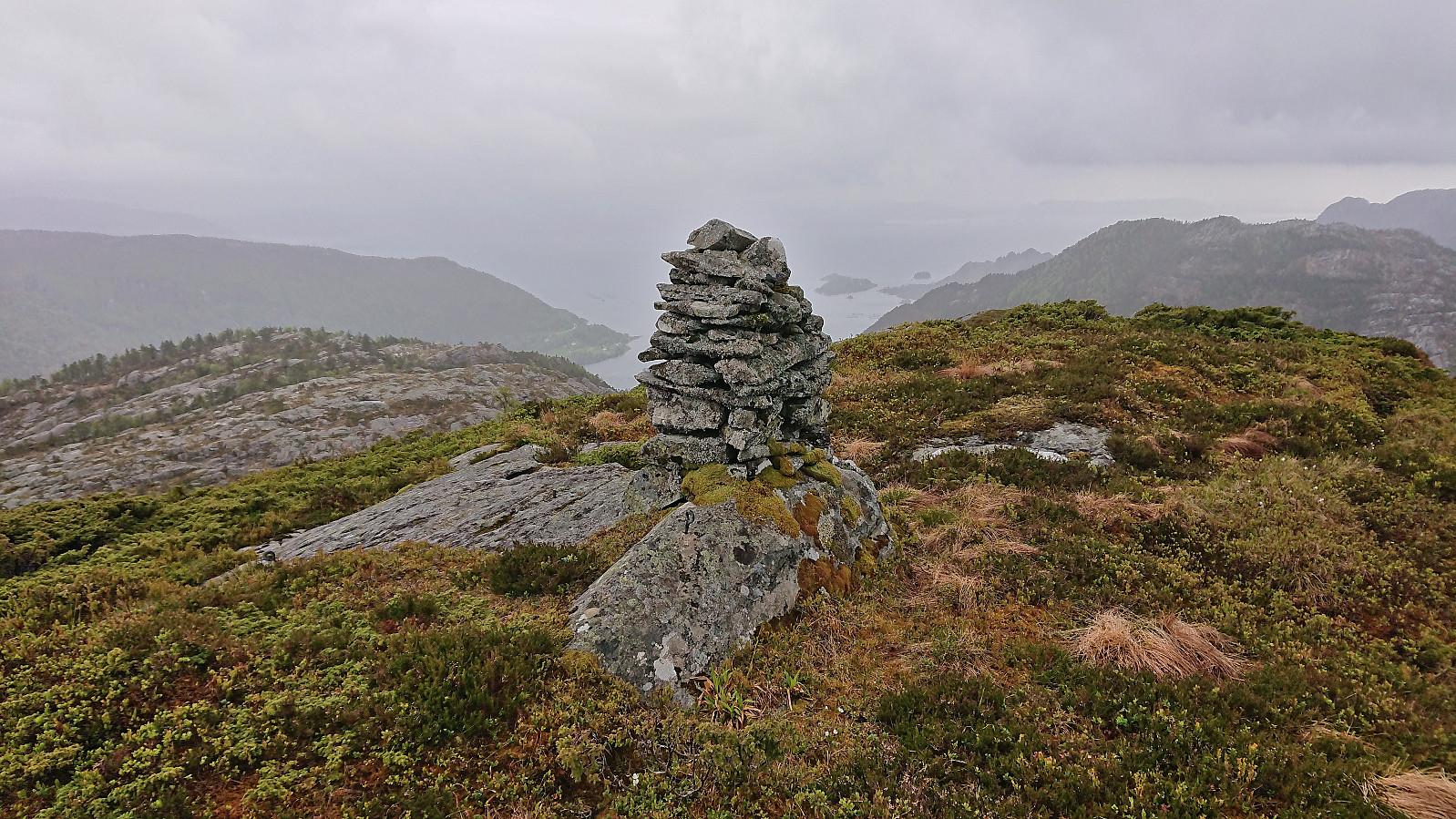
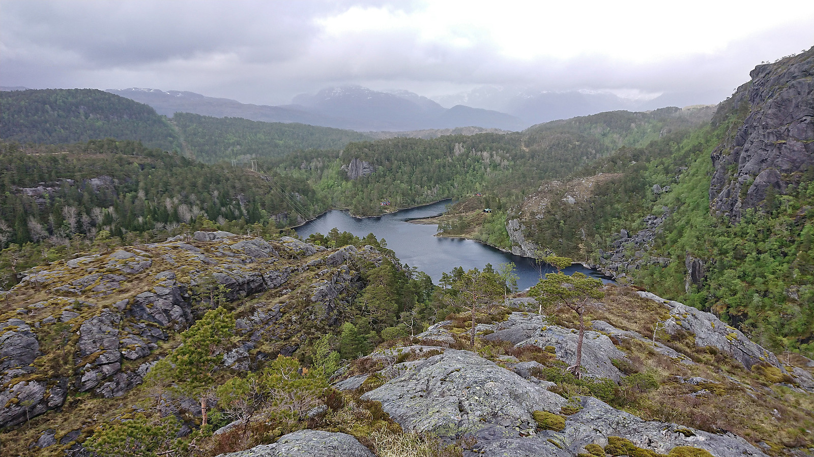
After a couple of pictures at the summit, I descended northeast along the ridge towards Langedalsvatnet (sometimes also referred to as Sævareidvatnet). Here there was supposed to be a trail, at least there were the occasional small cairn, however the cairns where far apart and the trail looked more like a deer track at best. The result was that I lost the trail several times before reaching the lake. It is still worth trying to follow the trail though as there were several steep areas that had to be navigated properly.
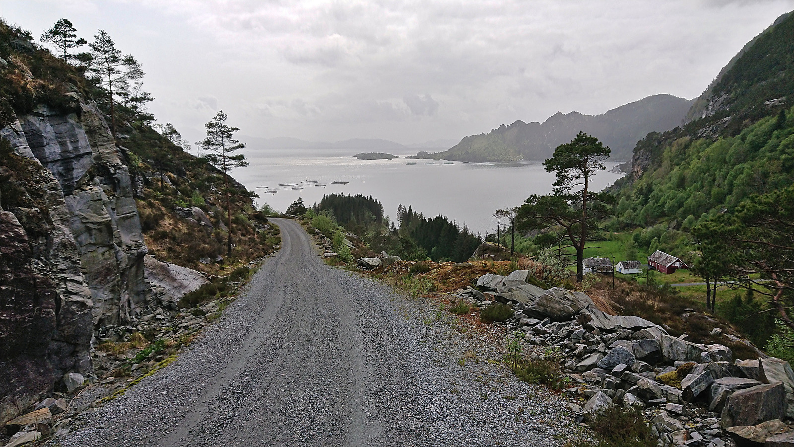
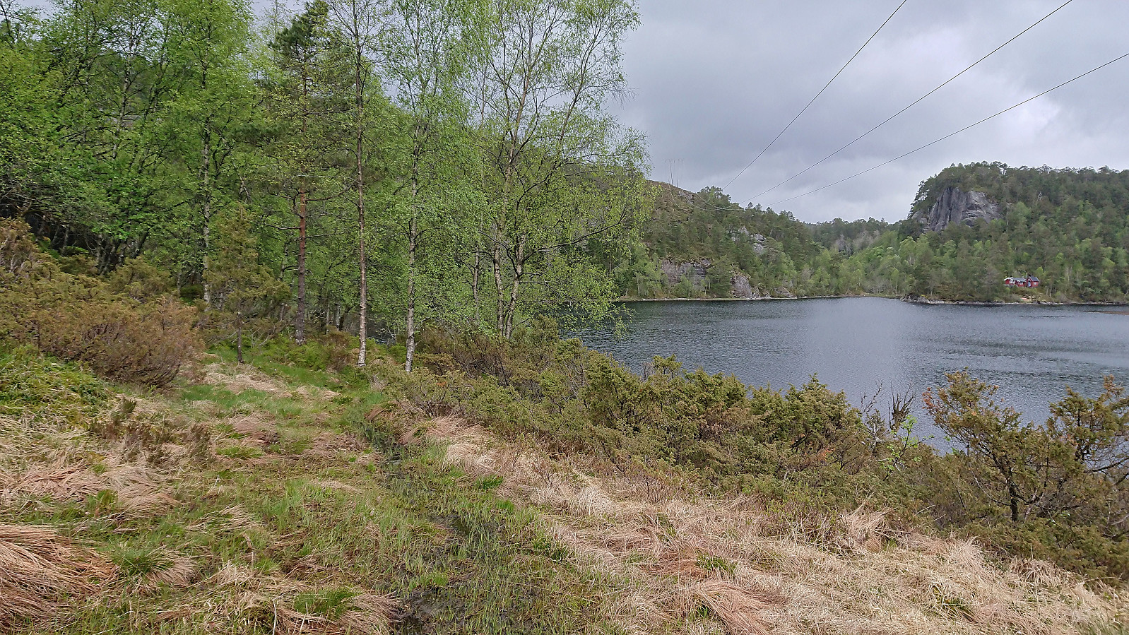
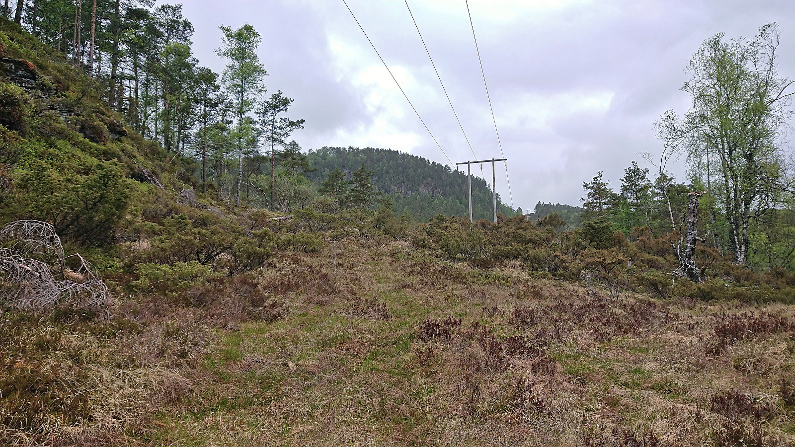
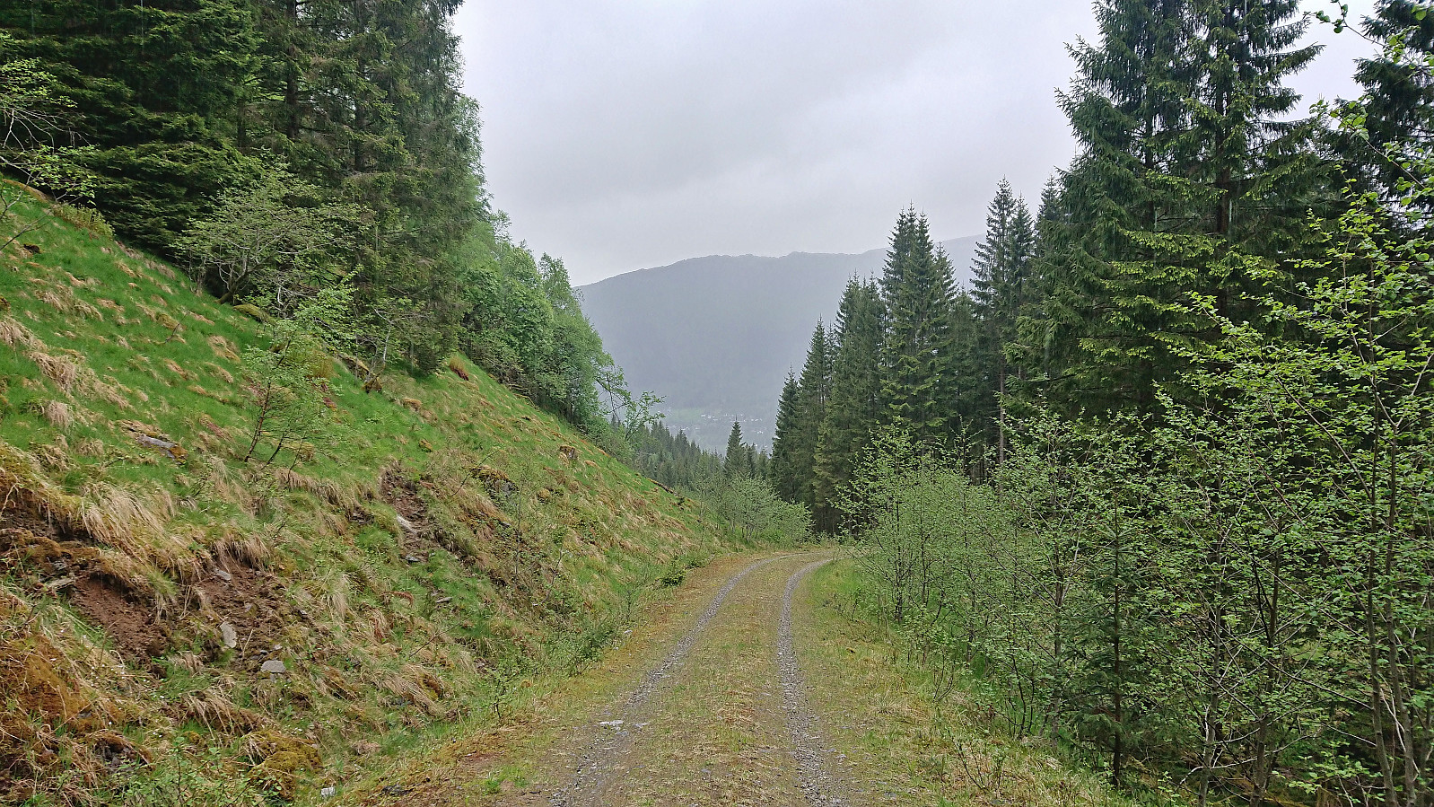
All that remained was now the around 4 km to the bus stop at Eikeland. While the map indicated trails for a large parts of this stretch, the trails were weak at best and sometimes just not there. The top of Erdalen/Slåsetret was still reached without any real issues. According to Bjørnafjordtrimmen 2022 there should be a good trail from the end of the gravel road from Eikeland to Slåsetret, but I am assuming this refers to the trail taking a loop via Kroklebruna, as the more direct route north soon simply disappeared. By then I was however close to the gravel road and just headed straight for it. The hike was then concluded by following the gravel road down to the main road.
In summary, an interesting predominantly off-trail hike that is most likely not to everyone's liking. But if you enjoy finding your own way and navigating in steep terrain it can still be recommended.
| Start date | 25.05.2023 14:49 (UTC+01:00 DST) |
| End date | 25.05.2023 19:38 (UTC+01:00 DST) |
| Total Time | 4h 49min |
| Moving Time | 4h 27min |
| Stopped Time | 0h 21min |
| Overall Average | 2.8km/h |
| Moving Average | 3.0km/h |
| Distance | 13.6km |
| Vertical meters | 1,132m |


User comments