
Snilstveitøy: Veten and Eidsvikåsen (06.05.2023)

Geschrieben von hbar (Harald Barsnes)

| Startpunkt | Snilstveitøy kai (1m) |
|---|---|
| Endpunkt | Snilstveitøy kai (1m) |
| Tourcharakter | Bergtour |
| Tourlänge | 3h 23min |
| Entfernung | 12,5km |
| Höhenmeter | 656m |
| GPS |
|
| Besteigungen | Eidsvikåsen (130m) | 06.05.2023 |
|---|---|---|
| Veten i Kvinnherad (409m) | 06.05.2023 | |
| Besuche anderer PBE | Kalvasundet båtrute (1m) | 06.05.2023 |
Snilstveitøy: Veten and Eidsvikåsen
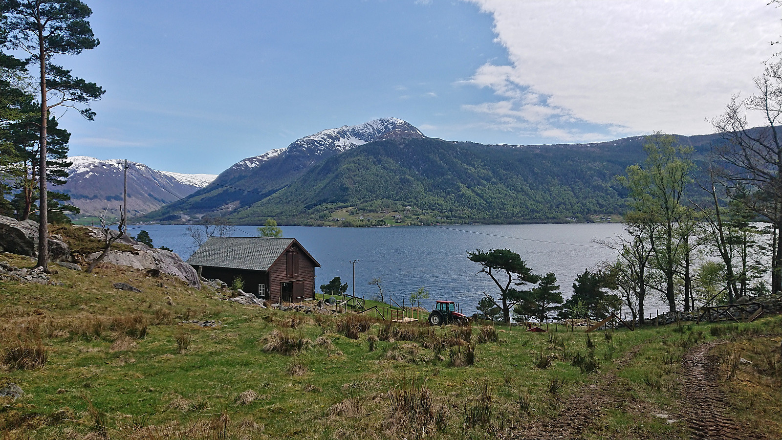
Last fall I figured out that it ought to be possible to use the high-speed passenger ferry from Bergen to Rosendal to visit both summits at Snilstveitøy in one hike. This however depended on the ferry's summer timetable and I did not manage try before it was too late. Half a year later it was now finally time to test if the plan could be executed successfully. I started by taking the ferry from Bergen to Snilstveitøy, although I almost ended up at Rosendal as the crew had forgotten that I was supposed to get off at Snilstveitøy (as the only passenger doing so). Thankfully I was able to inform them in time and a quick U-turn took care of the problem.
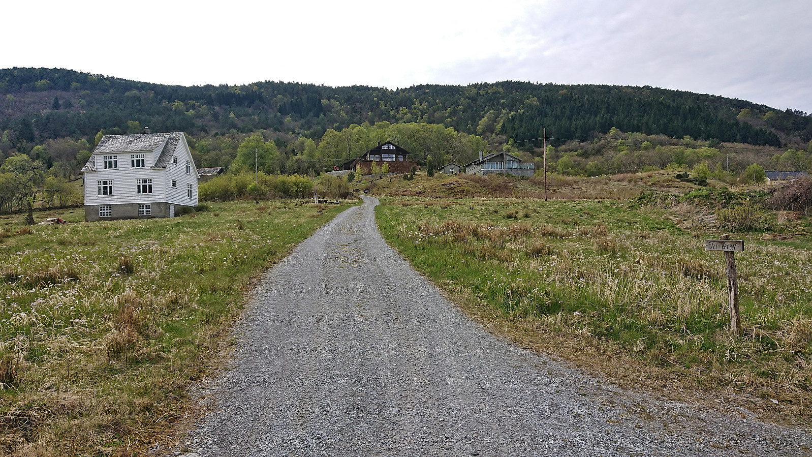
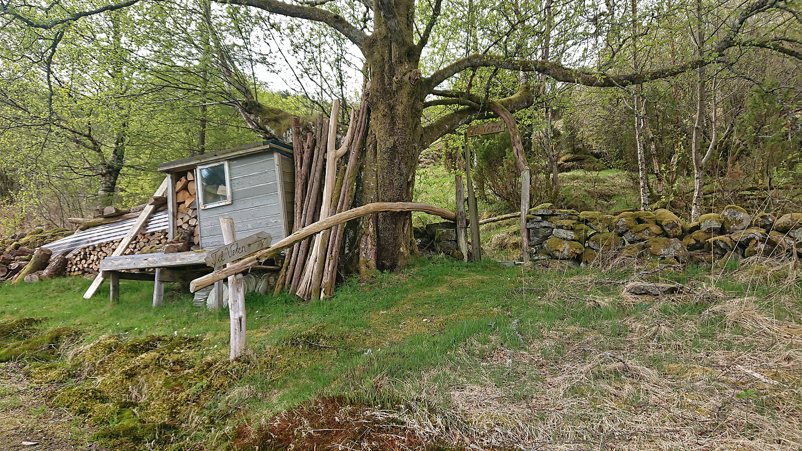
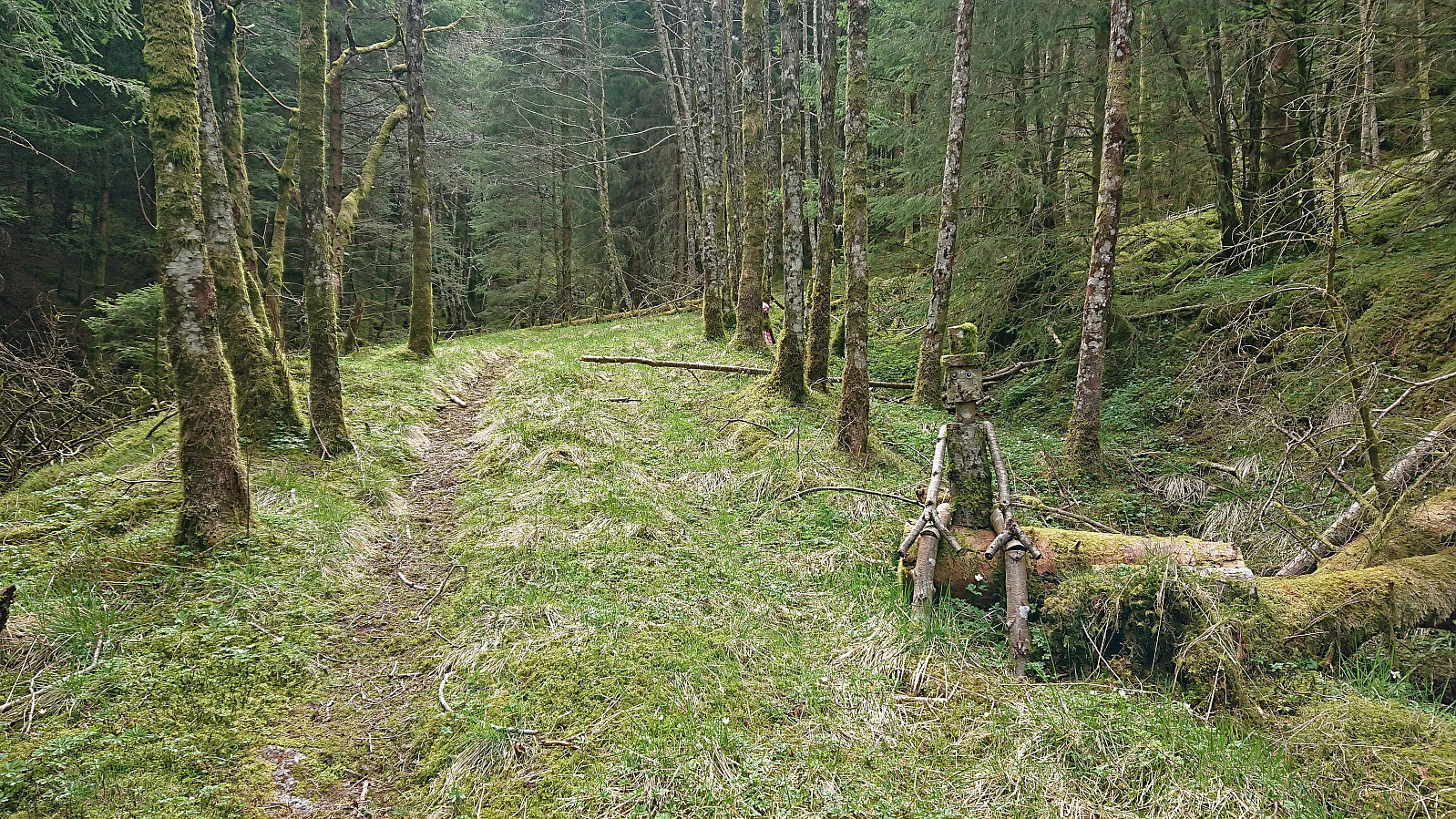
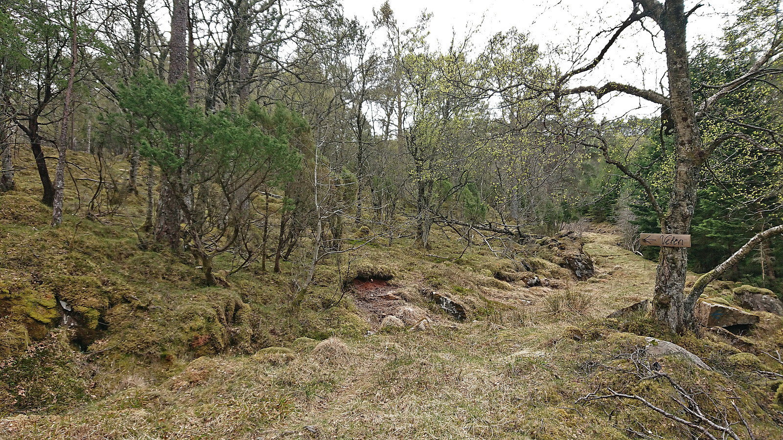
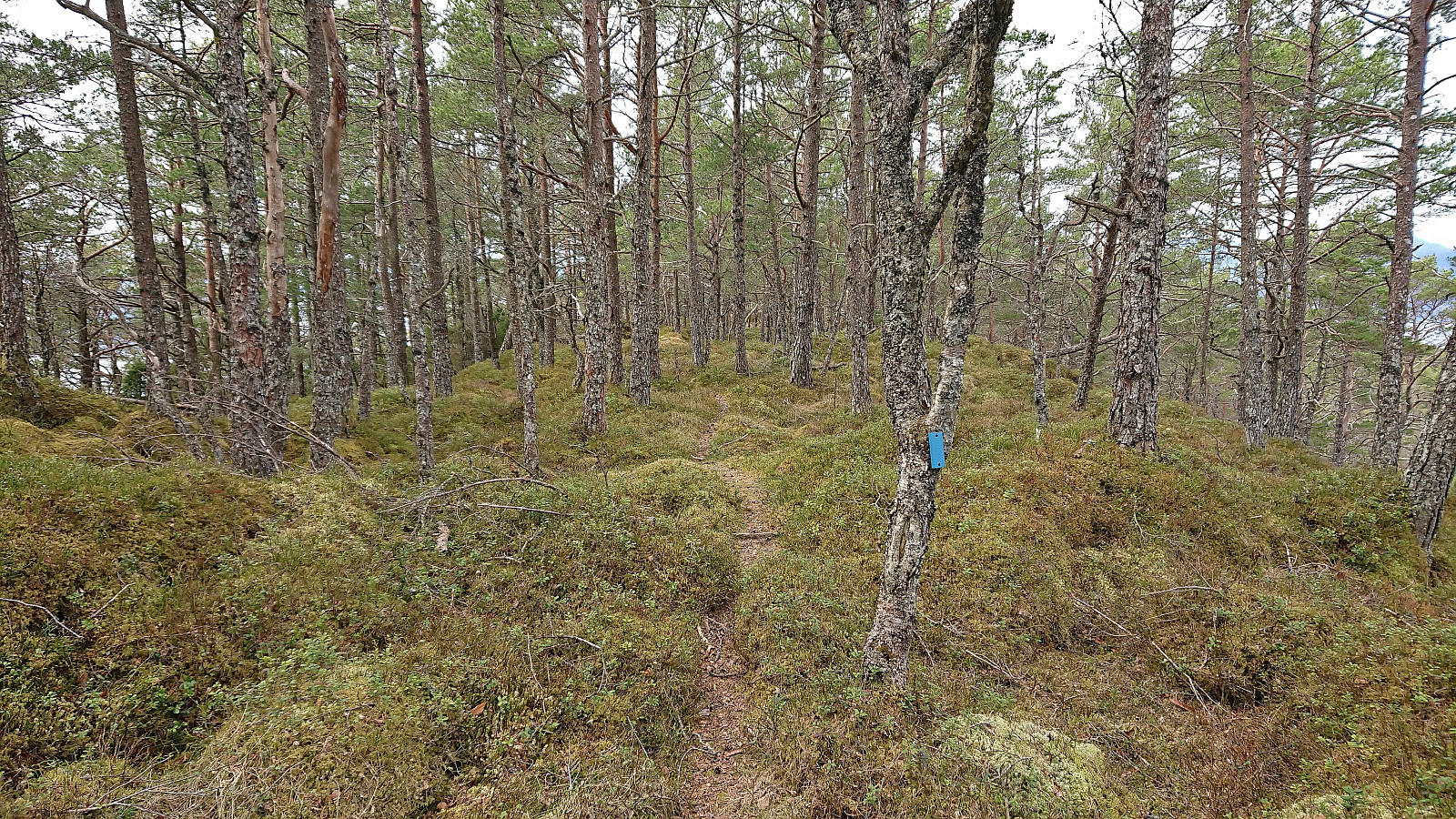
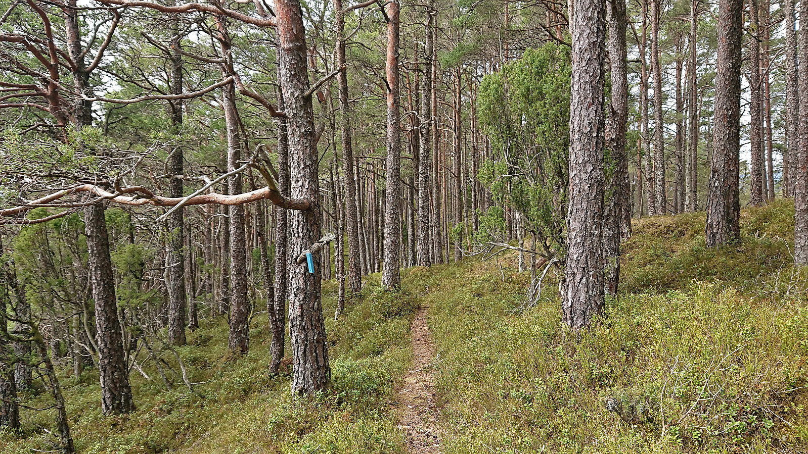
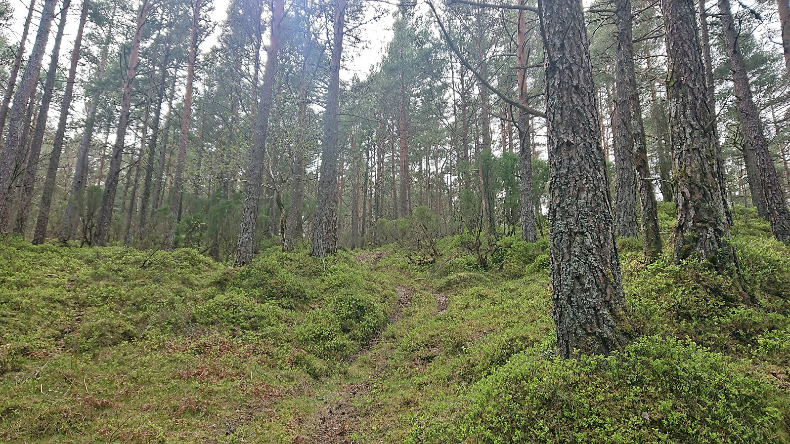
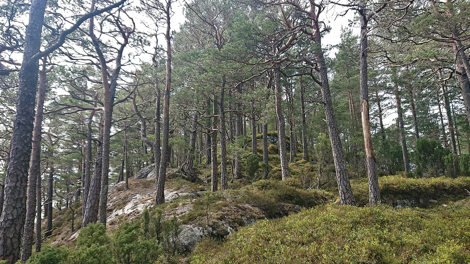
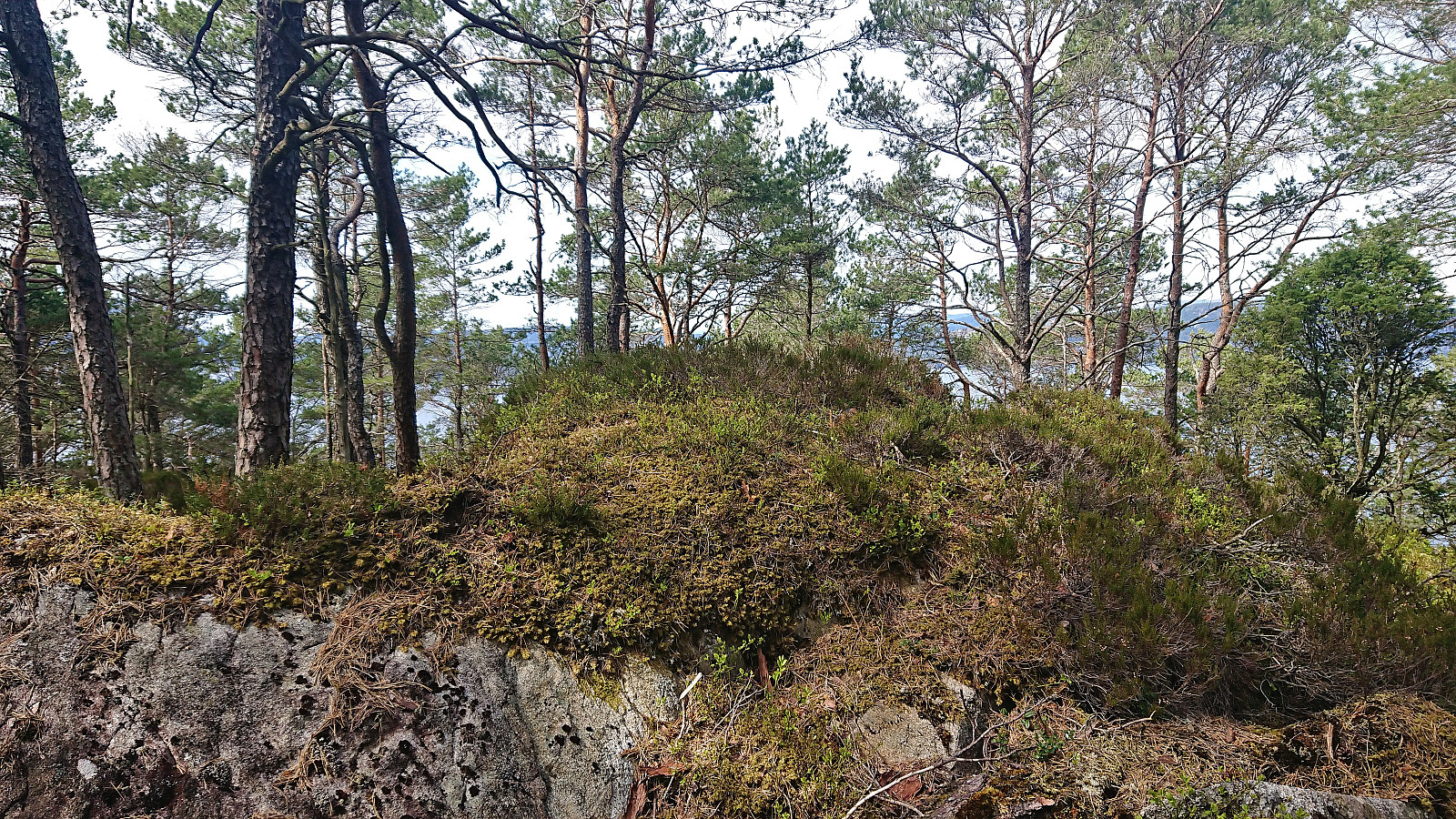
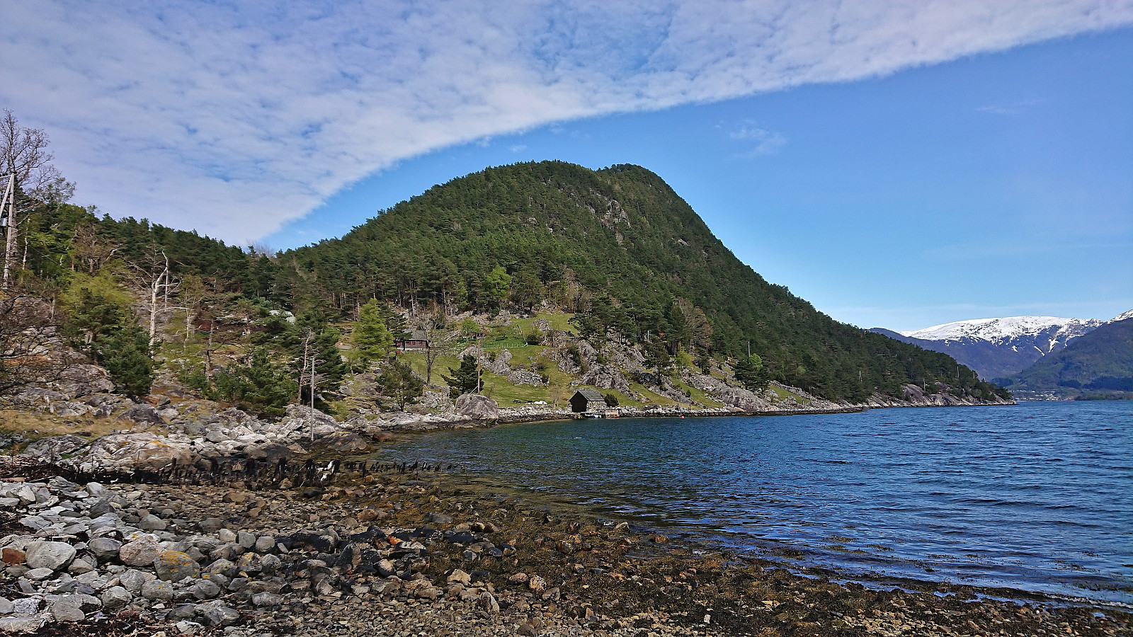
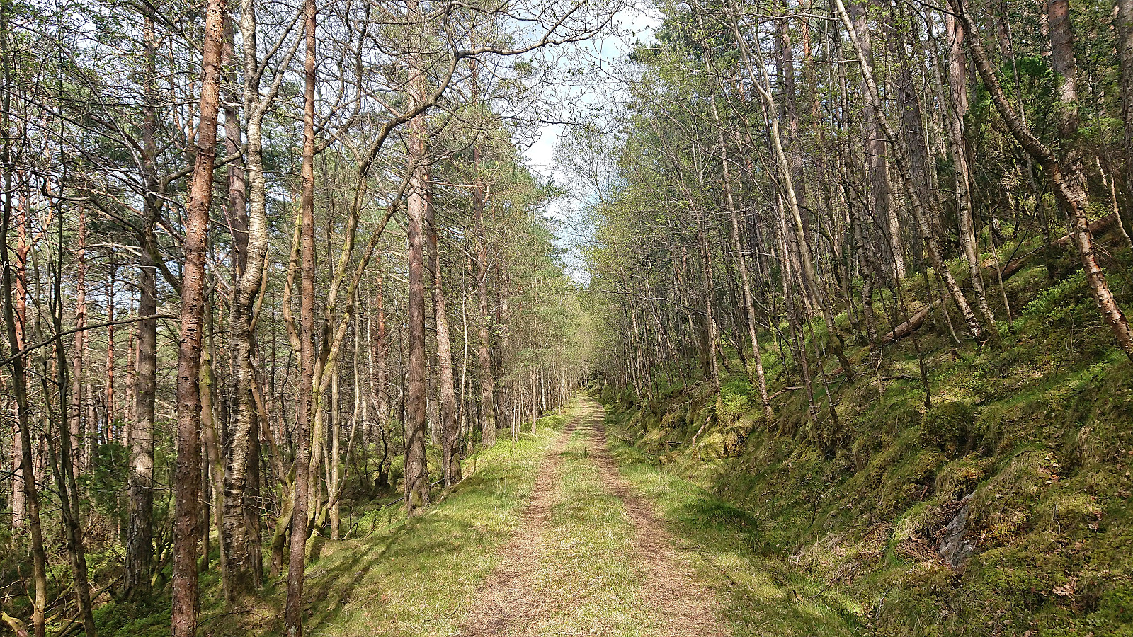
At Snilstveitøy, I followed the gravel road west and soon came across the first sign for Veten. 200 meters later I arrived at the marked trailhead. The trail itself was however unmarked and rather weak at the start. But it did not take long before the trail turned into an old tractor road and from there on it was straightforward to make progress towards the summit.
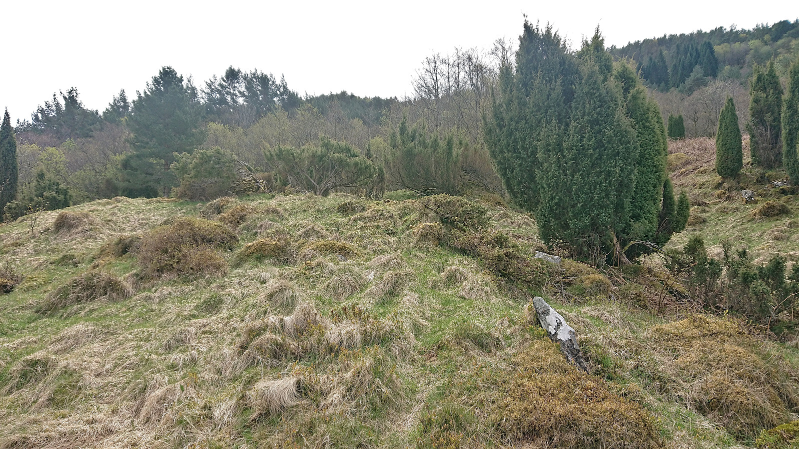
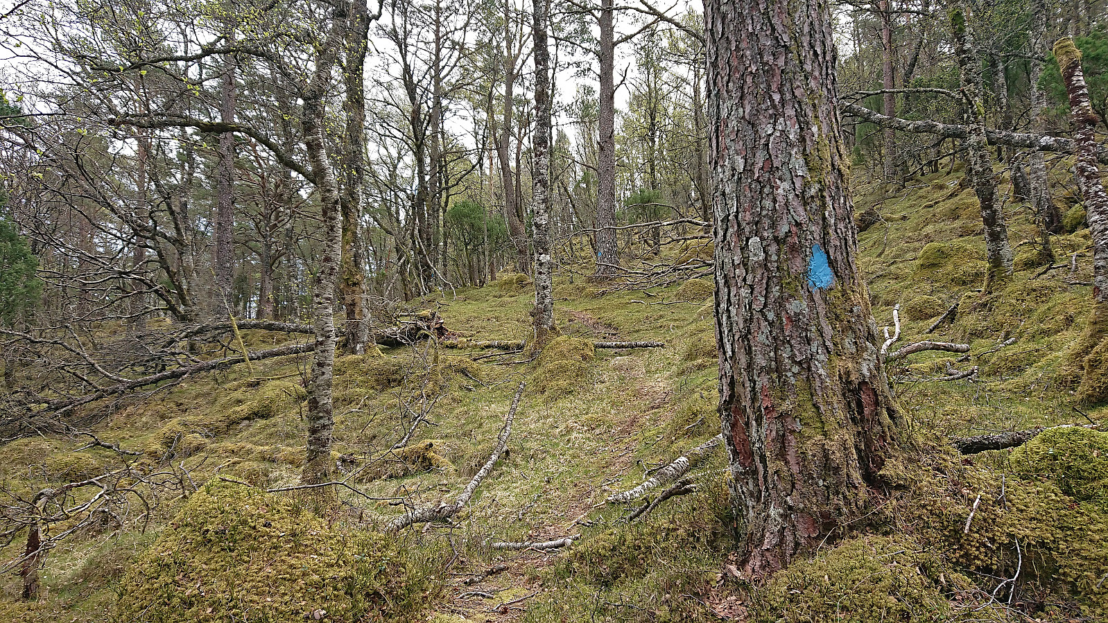
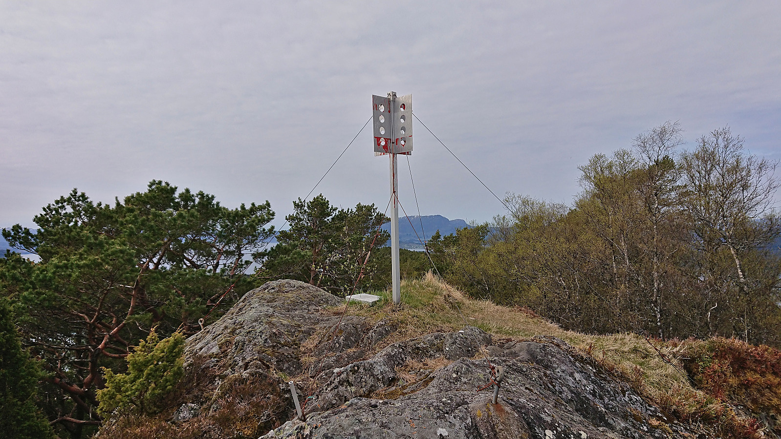
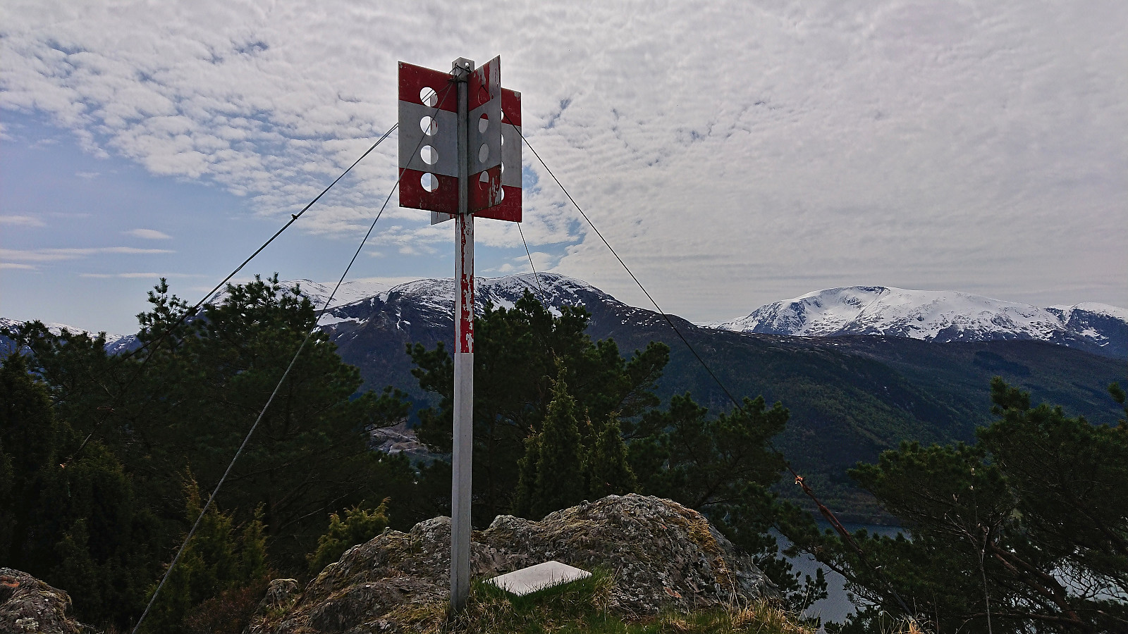
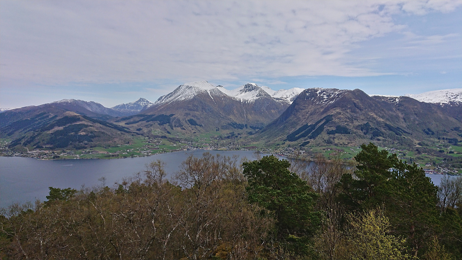
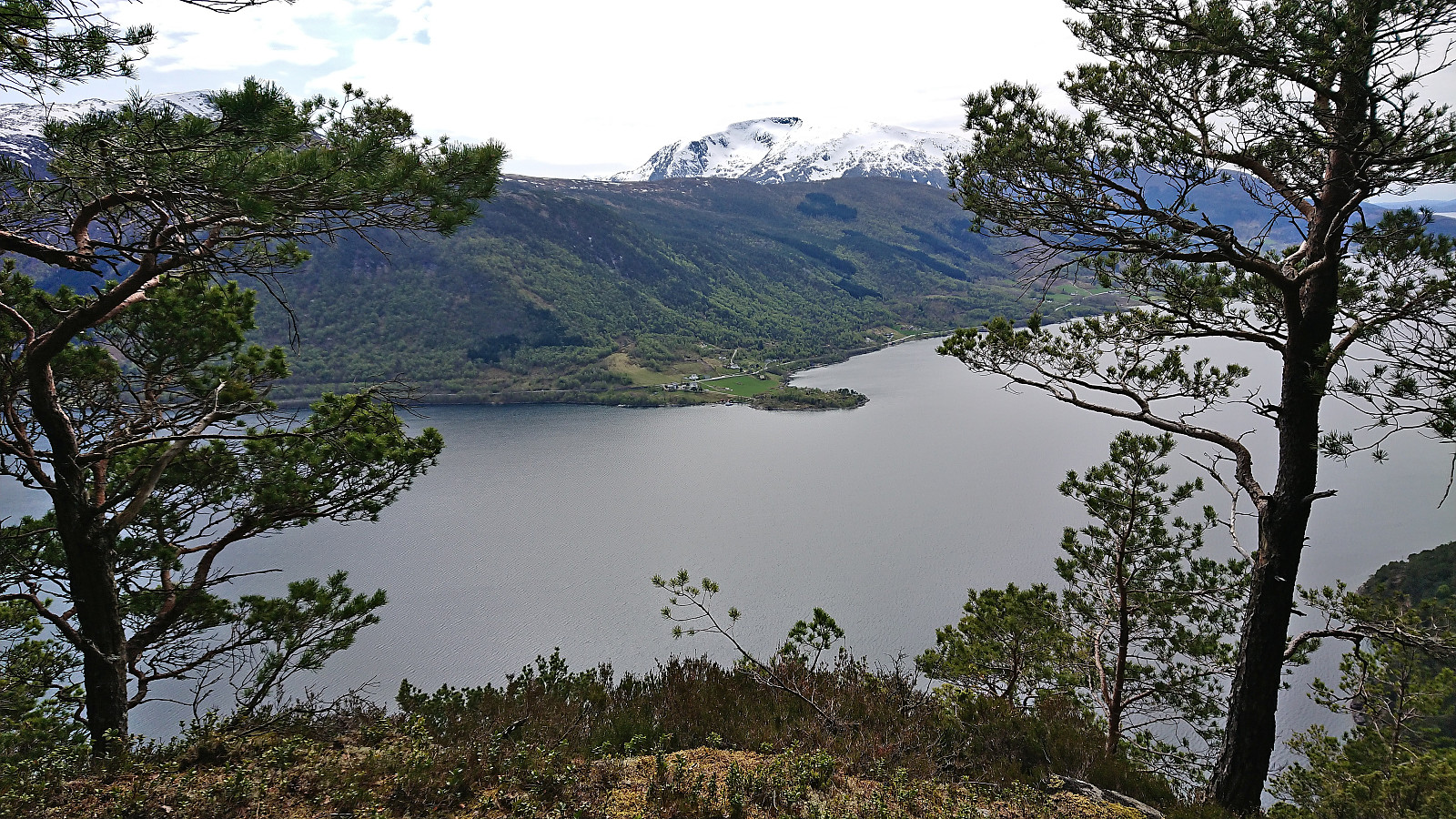
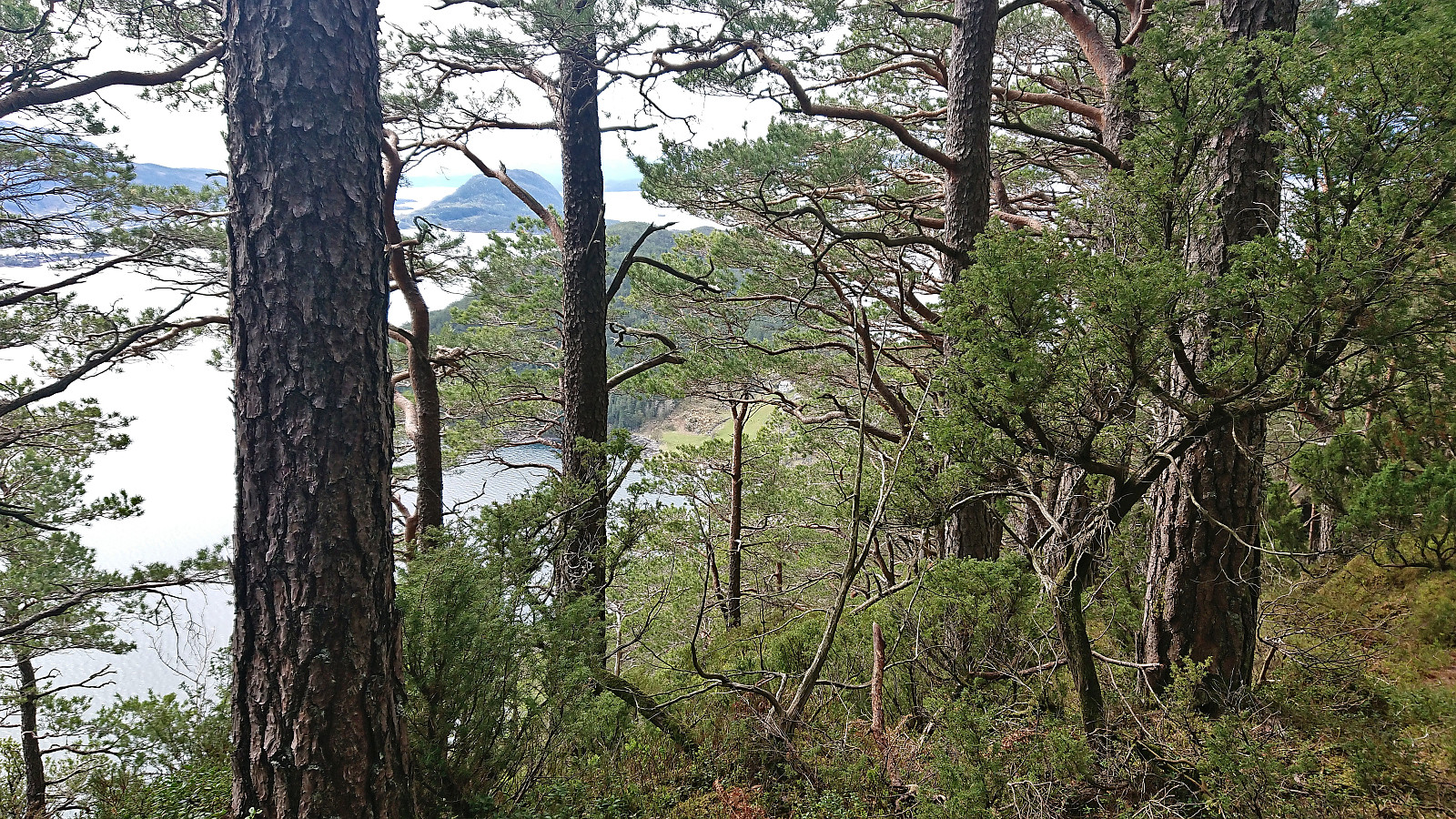
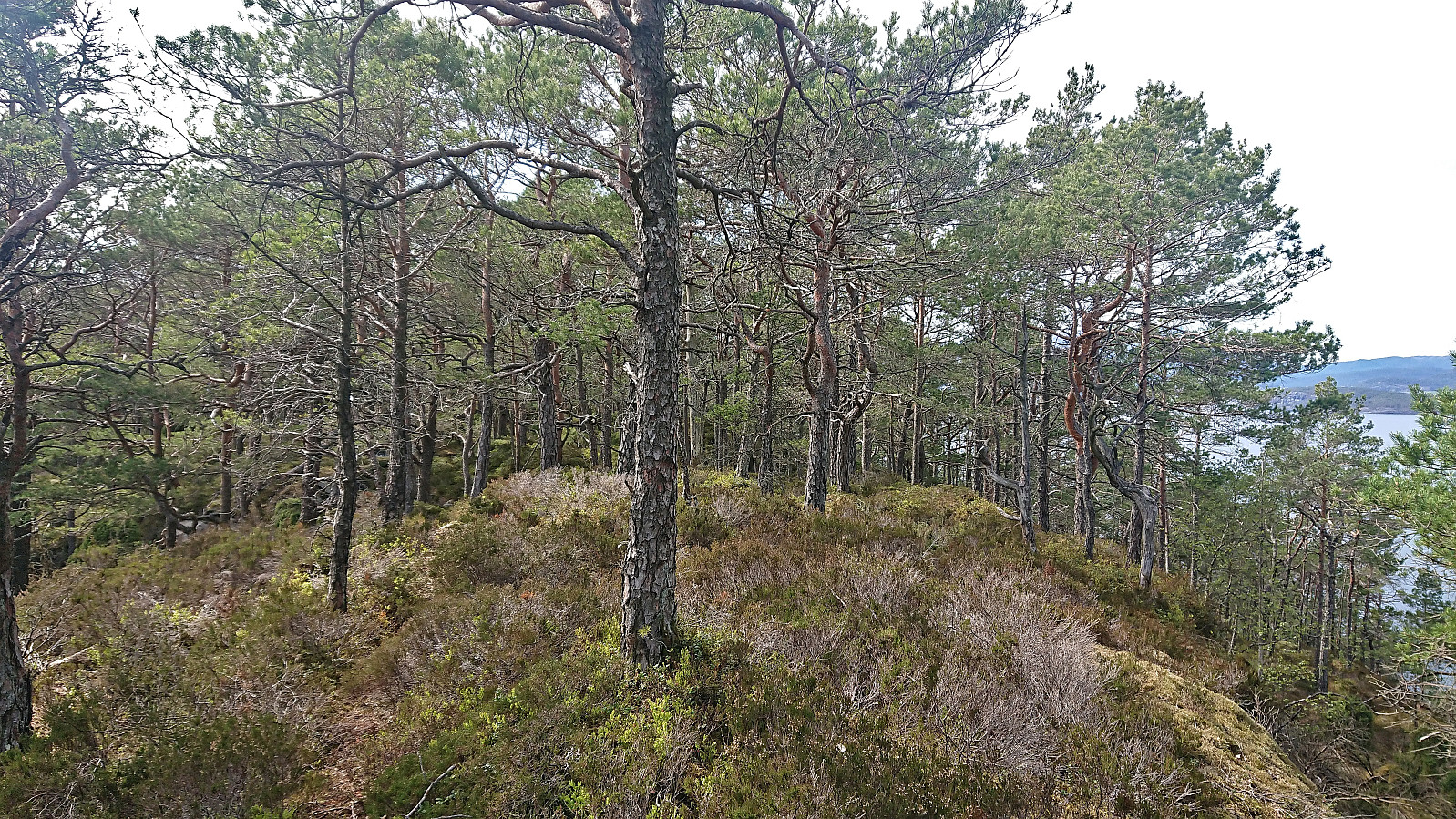
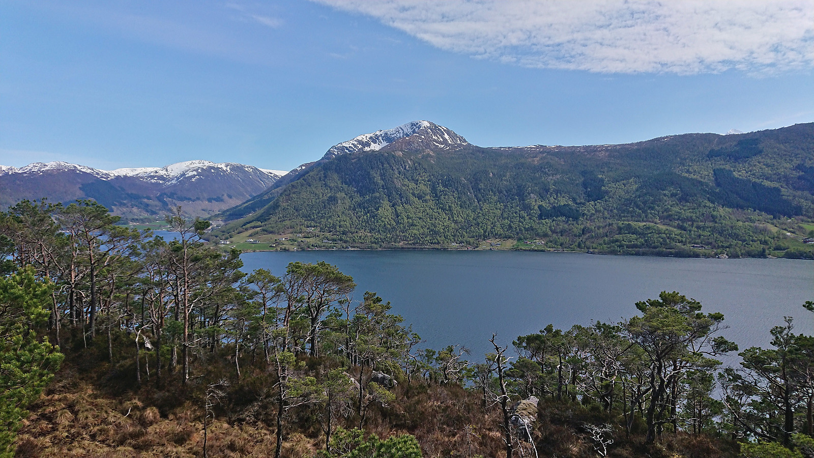
Around 350 meters south of the summit, I left the tractor road and followed a sign pointing to a trail marked with blue paint that would take me the rest of the way to the top. While this trail was clearly not the shortest route, as it first took a detour east, it was overall easy to follow and it did not take long before I arrived at the trig marker at the summit. Excellent views, especially east to Rosendal and north along Kvinnheradsfjorden.
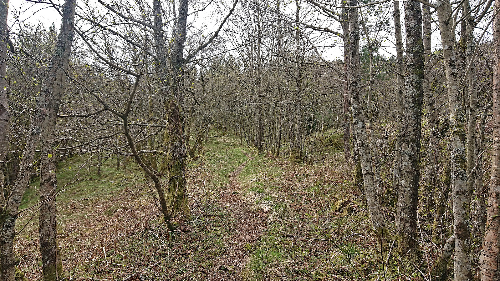
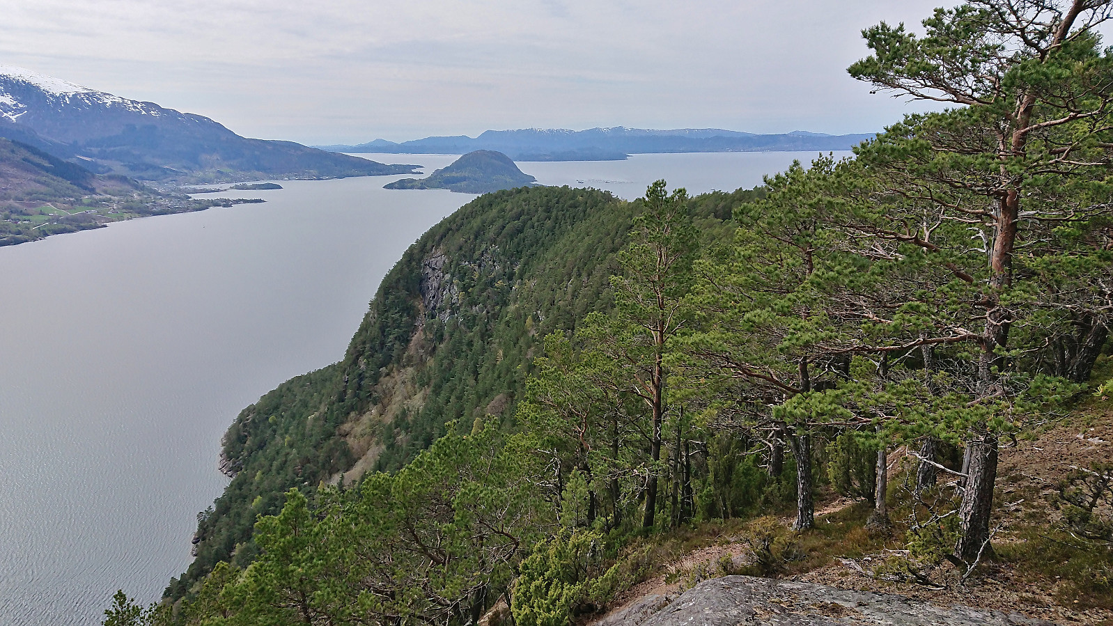
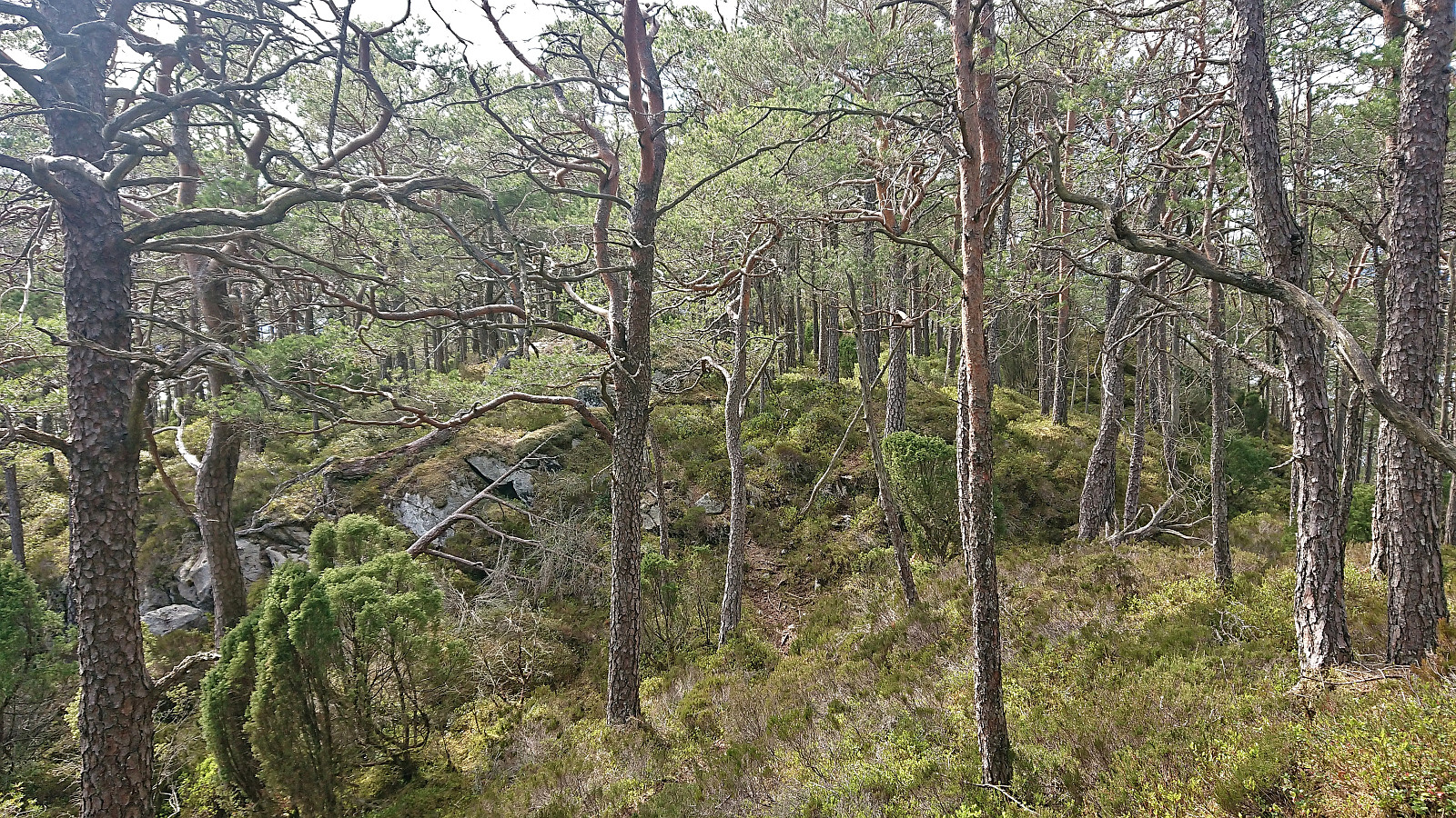
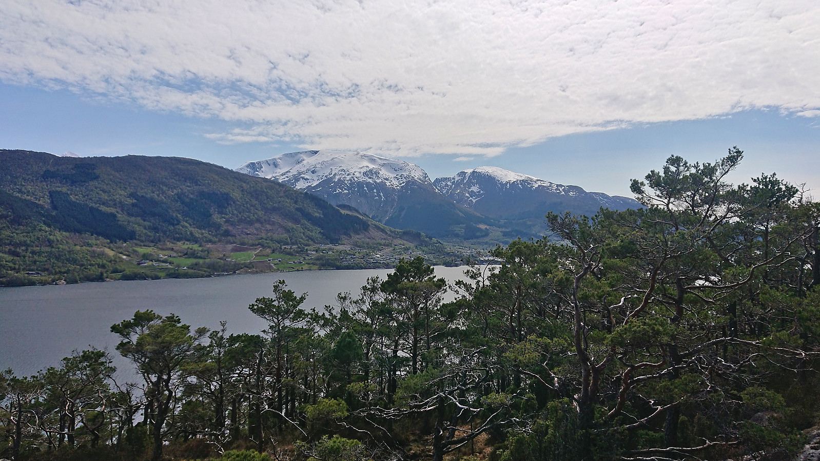
From the summit, my plan was now to follow the ridge west before finally descending to Eidsvik and from there ascend to Eidsvikåsen. While the map did not indicate any trails in this direction, I had read somewhere about a trail referred to as "Veten på langs" and hoped that it would actually exist. And it did! Although quite weak at times, there was a clear trail that was even marked with blue paint. I was therefore able to maintain a much higher speed and was even treated to some great views along the way.
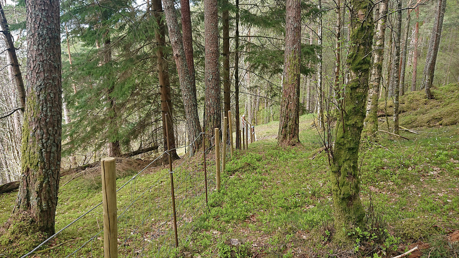
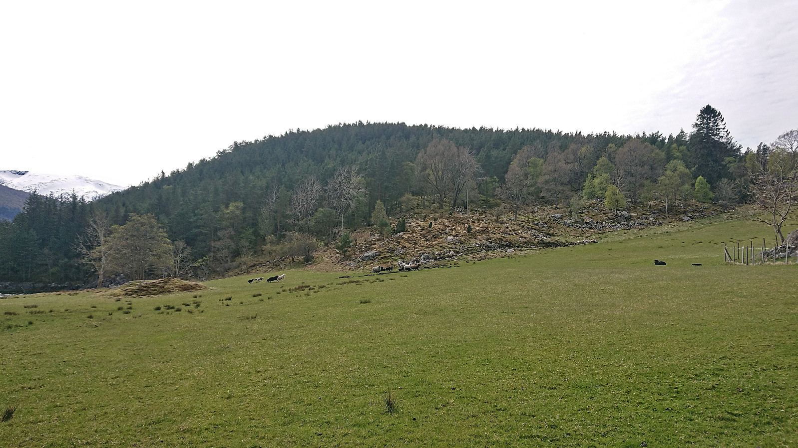
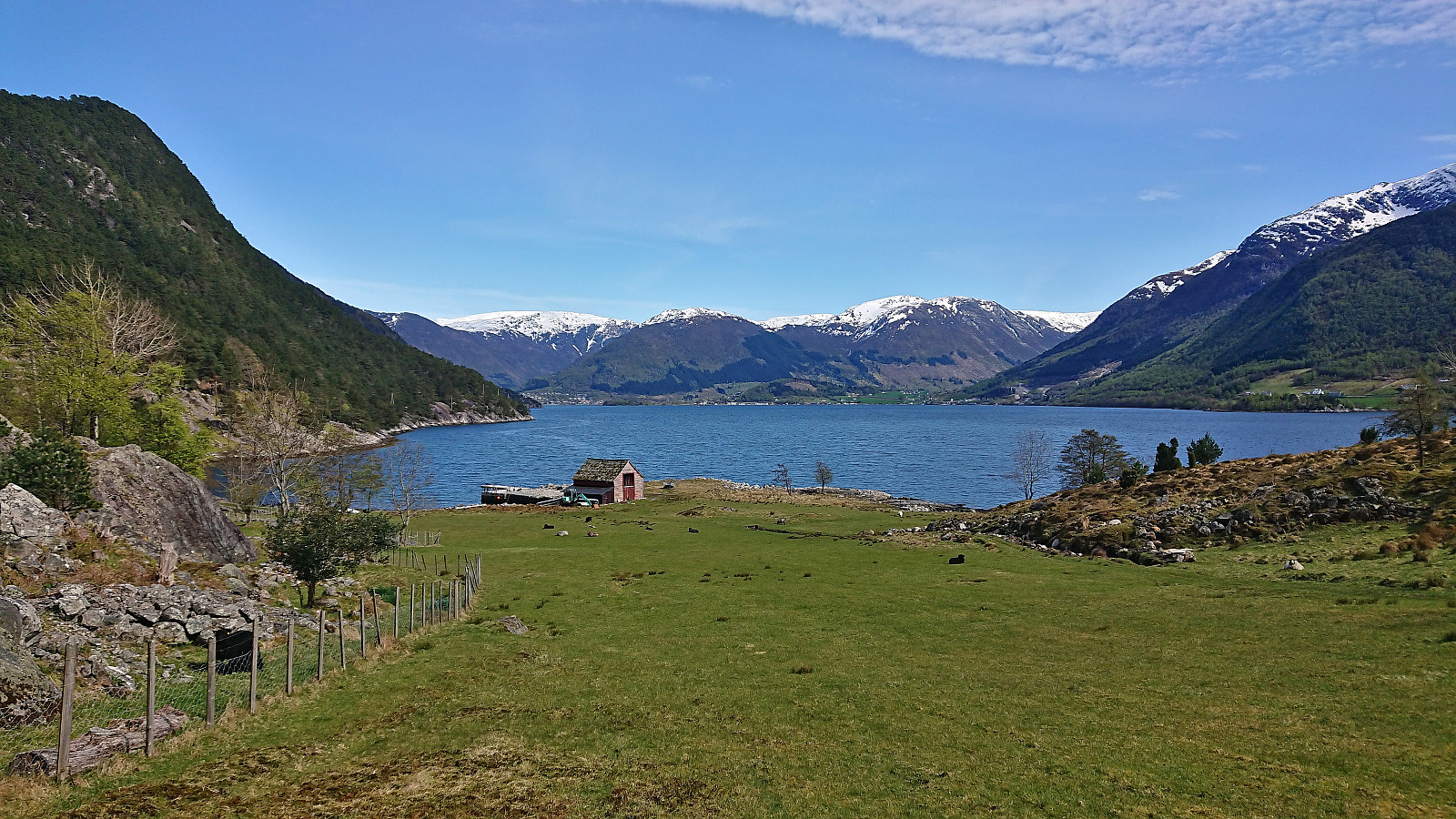
As I began the descent to Eidsvik, the trail turned weaker and at some point I must have made a wrong turn. At least there were no more trail markers. But by then I was less than 150 meters from the tractor road to Eidsvik and simply headed for it instead, managing to more or less arrive at the gate and could thus skip having to climb over the fence. The tractor road took me down to Eidsvika, where I proceeded to cross a field filled with grazing sheep.
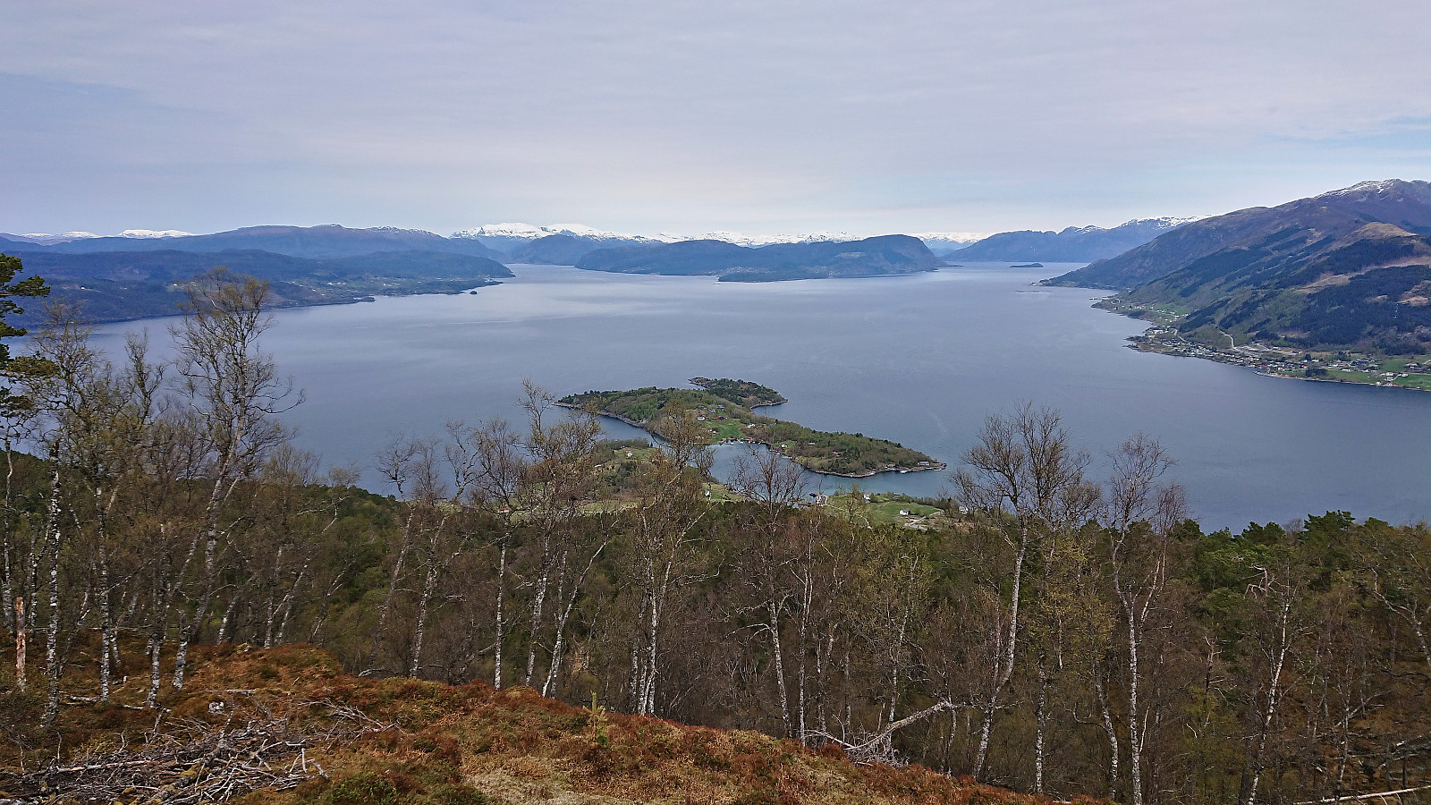
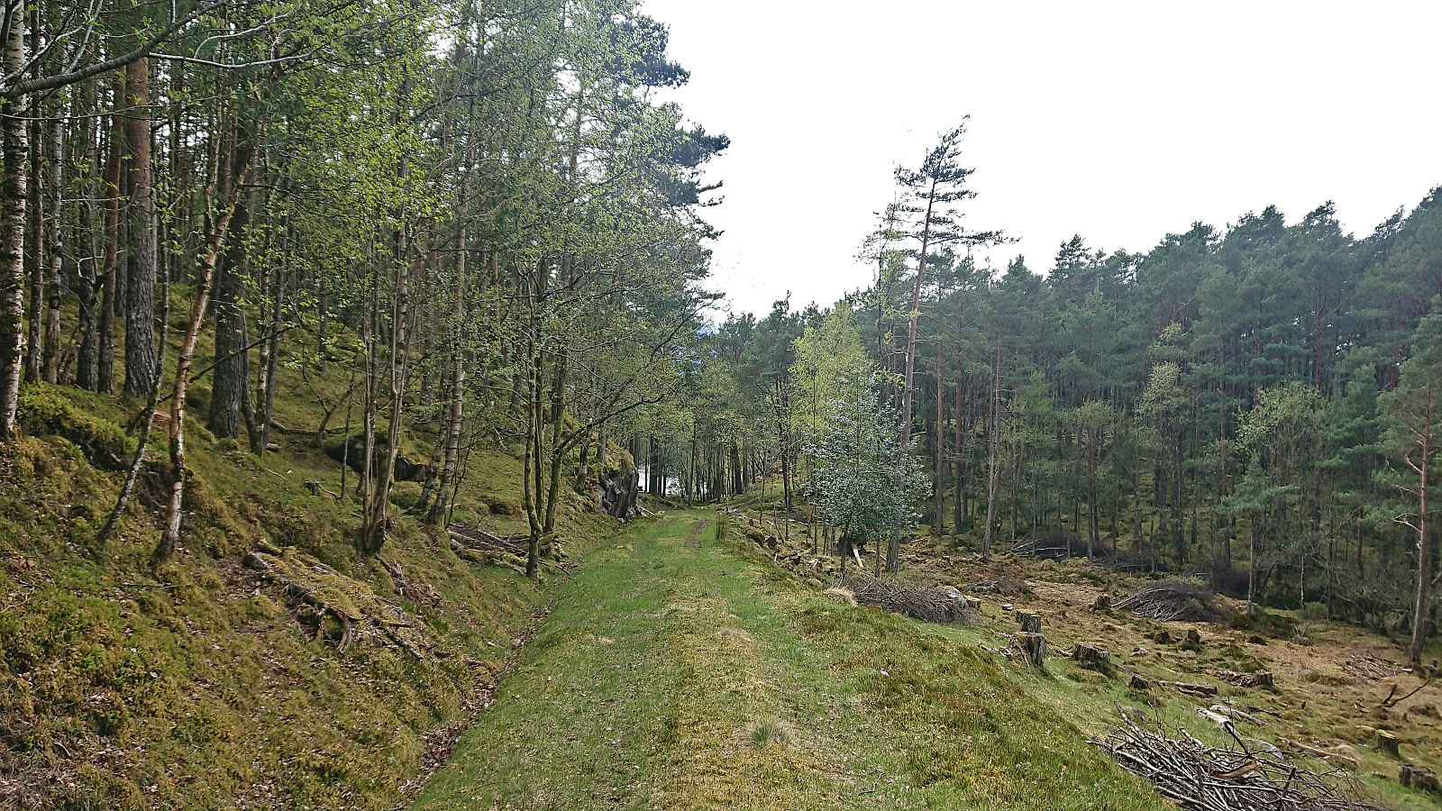
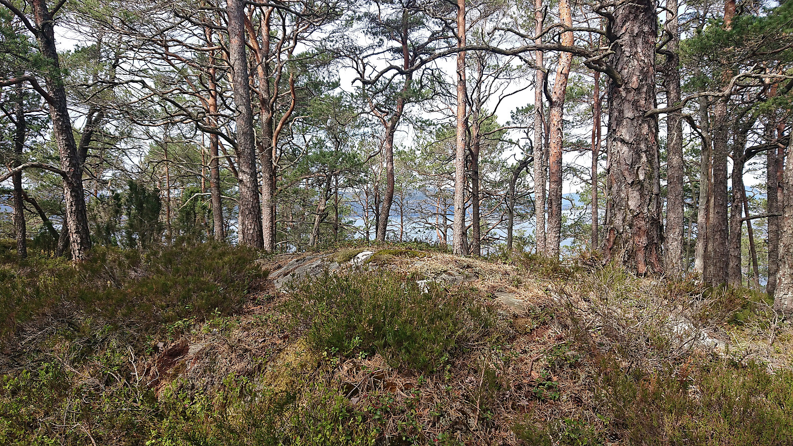
The ascent to Eidsvikåsen started on a tractor road just behind a white house. When the road came to an end, I simply headed off-trail along the ridge towards the highest point, at times following various animal tracks. The summit area was therefore reached without any issues. Finding the highest point was however a bit more tricky as there were three options, all within less than one meter difference. I of course simply visited all of them, however hoydedata.no seems to indicate that the one furthest to the west is perhaps slightly higher. Equally limited views from all three though, but I did not have to go far for some excellent views south across Storsundet.
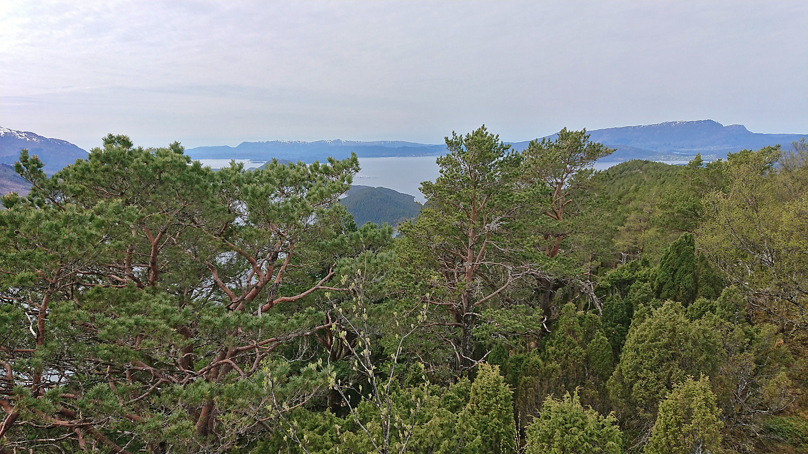
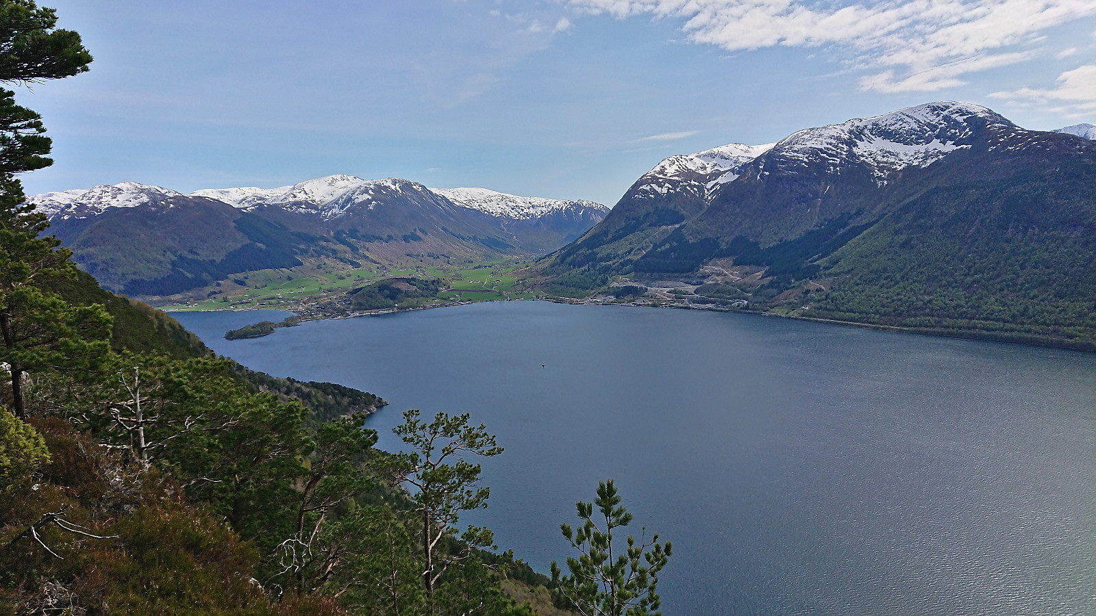
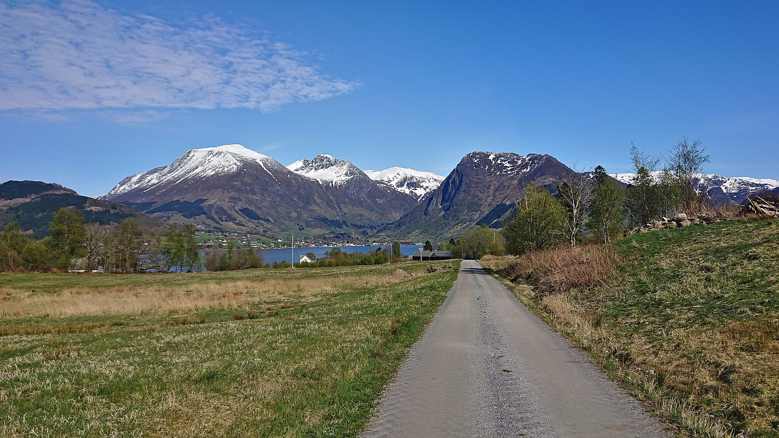
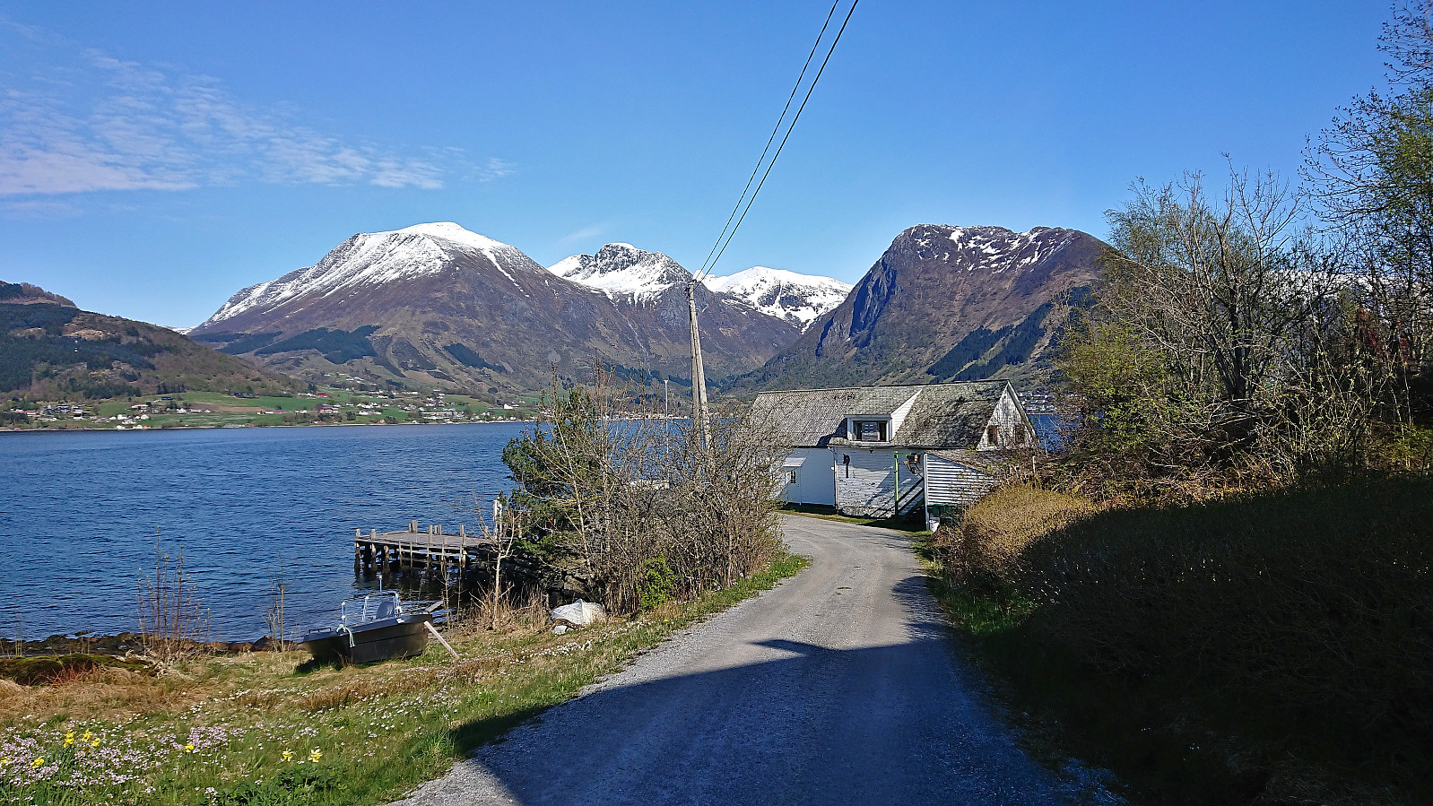
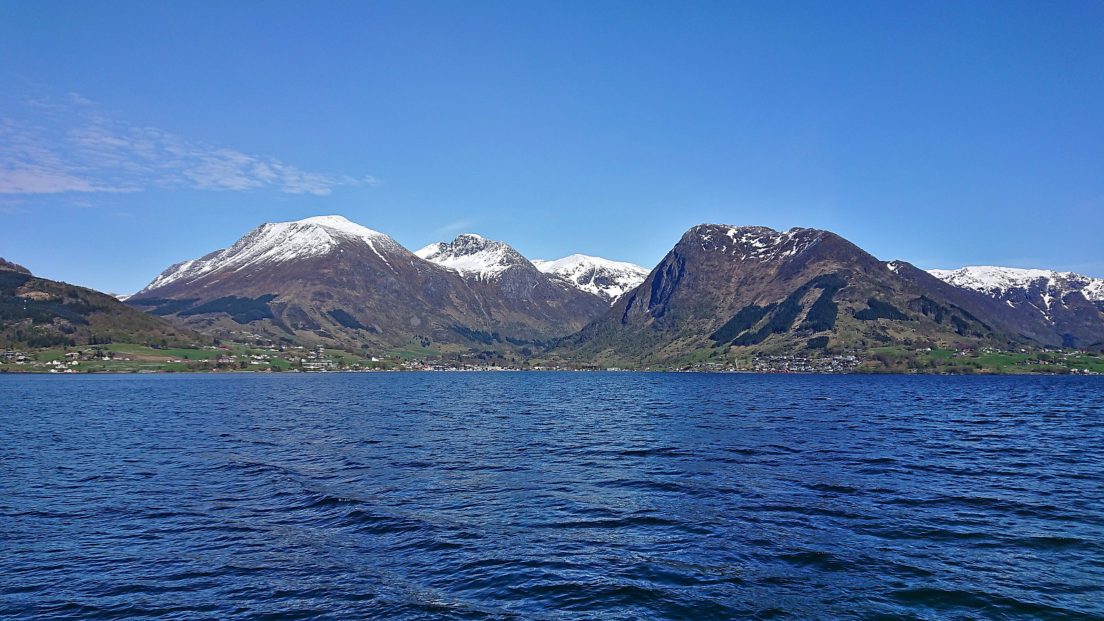
All that remained was now to return to Eidsvik and follow the tractor road on the northern side of the island back to the pier for the ferry back to Bergen, making sure to call the ferry on the way, as requested, to let them know that there was at least one passenger at Snilstveitøy eager to hitch a ride home. I arrived at the pier with around 20 minutes to spare and while waiting I could enjoy the views towards the snow-capped mountains behind Rosendal.
To conclude, visiting both summits at Snilstveitøy by using the high-speed passenger ferry from Bergen to Rosendal is possible and you can even stay on trails/road for most of the hike. However, due to the at times weak trail across the ridge and the hard deadline to return to the pier in time, I would only recommend this hike for intermediate to advanced hikers. It is of course also possible to shorten the hike by skipping Eidsvikåsen or simply just visiting Veten, both great alternatives. But whatever you choose, please make sure that you can keep the pace required to catch the ferry, as otherwise you may end up spending the night at Snilstveitøy. ;)

| Startzeitpunkt | 06.05.2023 12:57 (UTC+01:00 SZ) |
| Endzeitpunkt | 06.05.2023 16:20 (UTC+01:00 SZ) |
| Gesamtzeit | 3h 23min |
| Zeit in Bewegung | 3h 13min |
| Pausenzeit | 0h 9min |
| Gesamtschnitt | 3,7km/h |
| Bewegungsschnitt | 3,9km/h |
| Entfernung | 12,5km |
| Höhenmeter | 655m |


Benutzerkommentare