
Åsen and Solhaug (22.01.2023)

Written by hbar (Harald Barsnes)

| Start point | Ulvik sentrum (7m) |
|---|---|
| Endpoint | Hjeltnes (9m) |
| Characteristic | Hillwalk |
| Duration | 2h 24min |
| Distance | 9.5km |
| Vertical meters | 300m |
| GPS |
|
| Ascents | Åsen (268m) | 22.01.2023 |
|---|---|---|
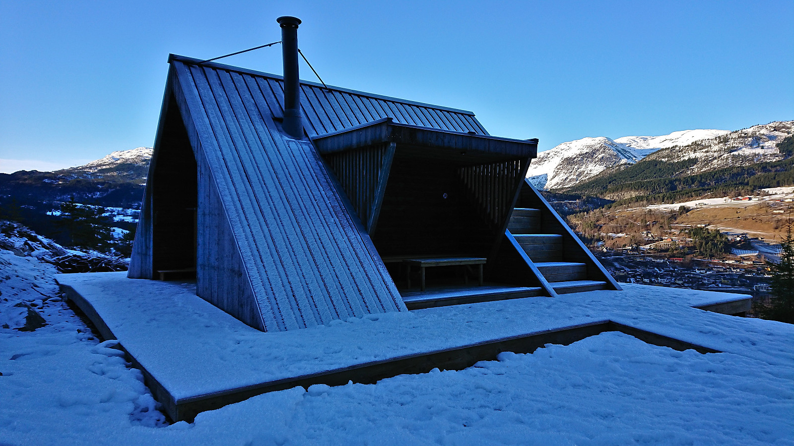
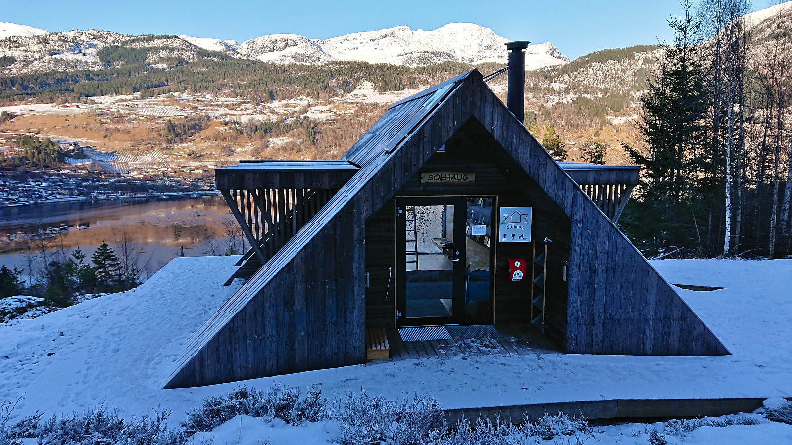
| Visits of other PBEs | Solhaug dagsturhytte (110m) | 22.01.2023 |
Åsen and Solhaug
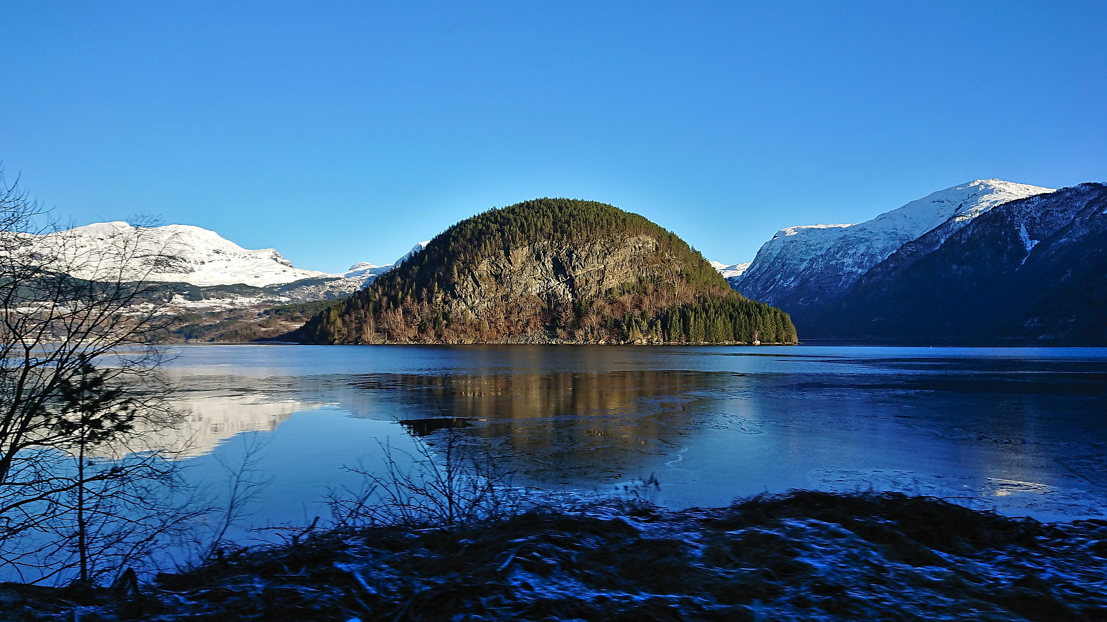
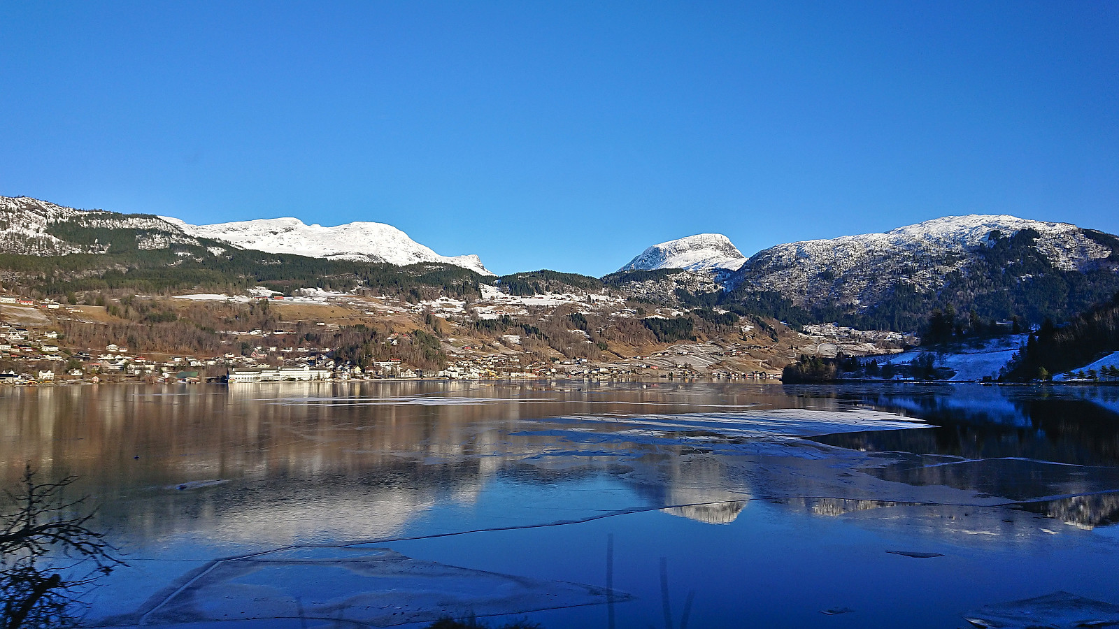
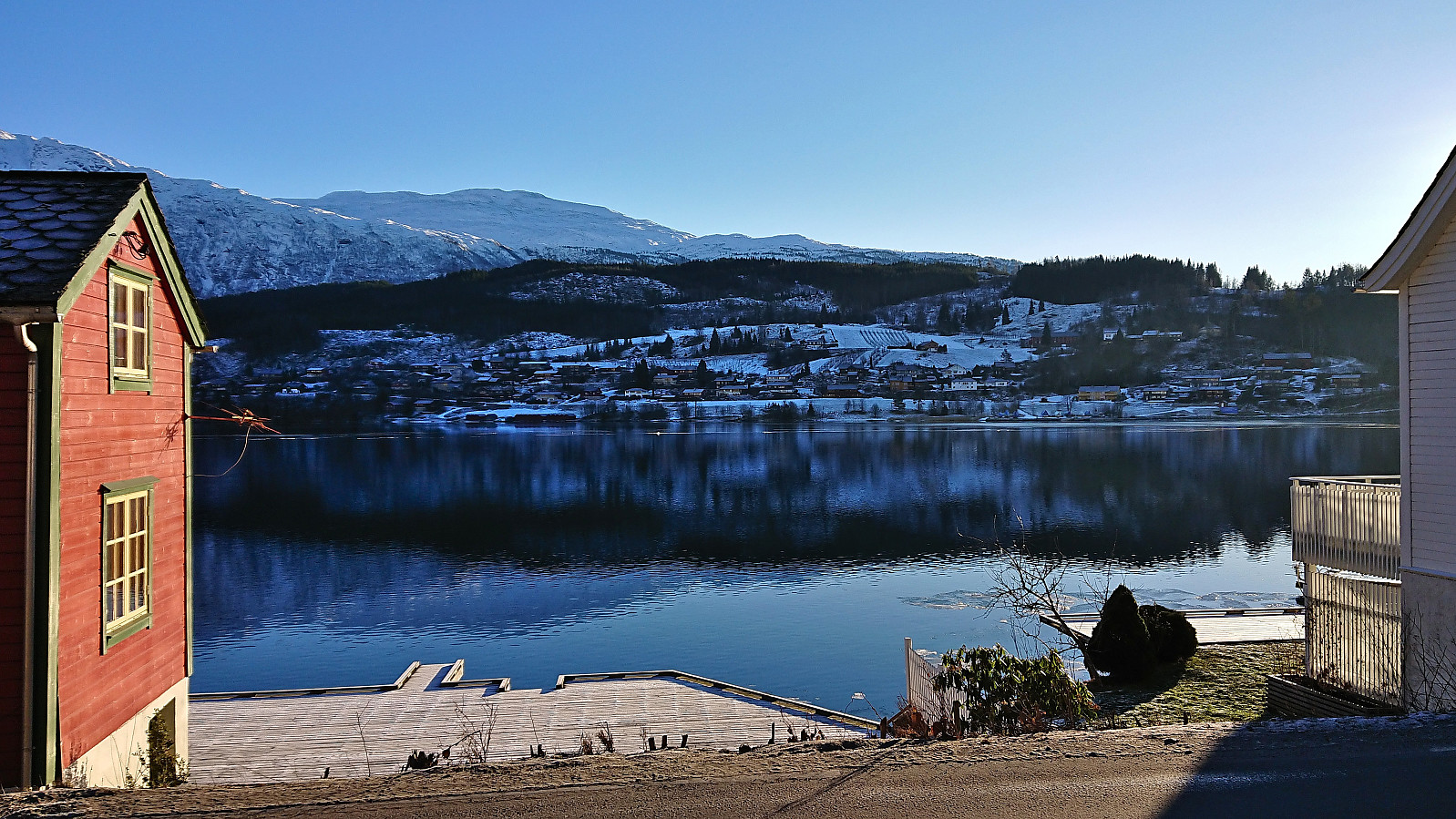
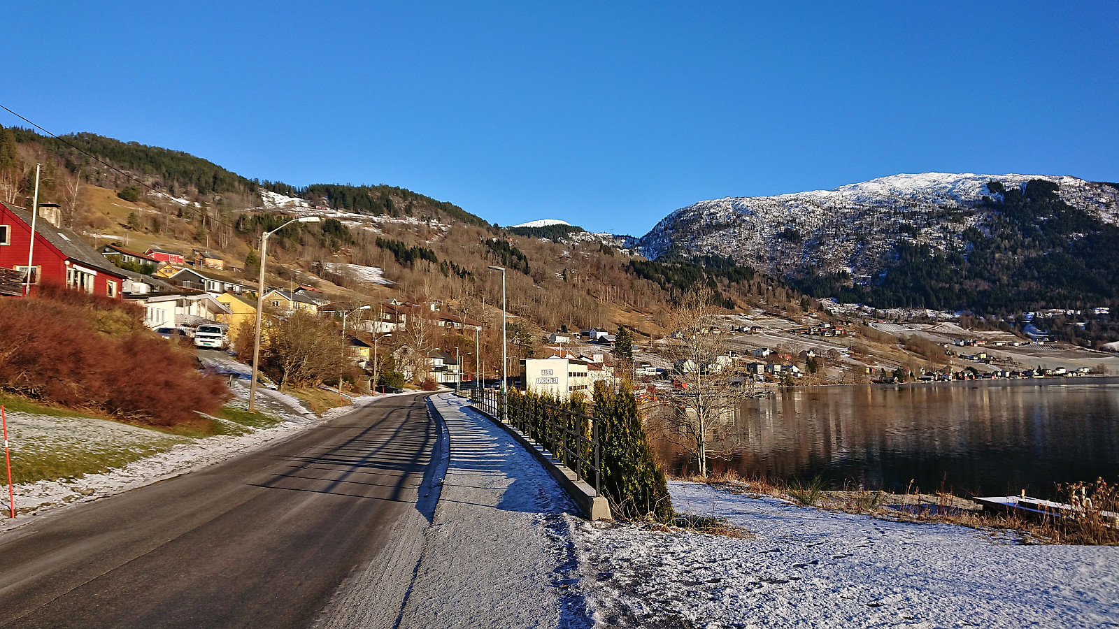
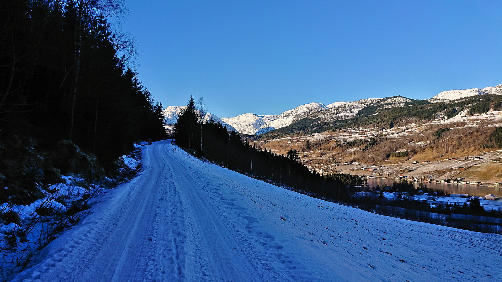
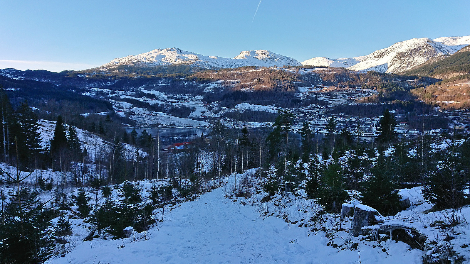
Started by taking the bus (or rather buses, four in total) from Bergen to Ulvik, and got off at the stop "Ulvik sentrum". The reason for starting my hike from there, instead of taking the bus all the way to the final stop at Hjeltnes, was that it would allow me to take full advantage of the available sunlight on this late January day (as analyzed in advance using ShadeMap). Thus, I could enjoy the sunshine almost until starting the real ascent to Åsen.
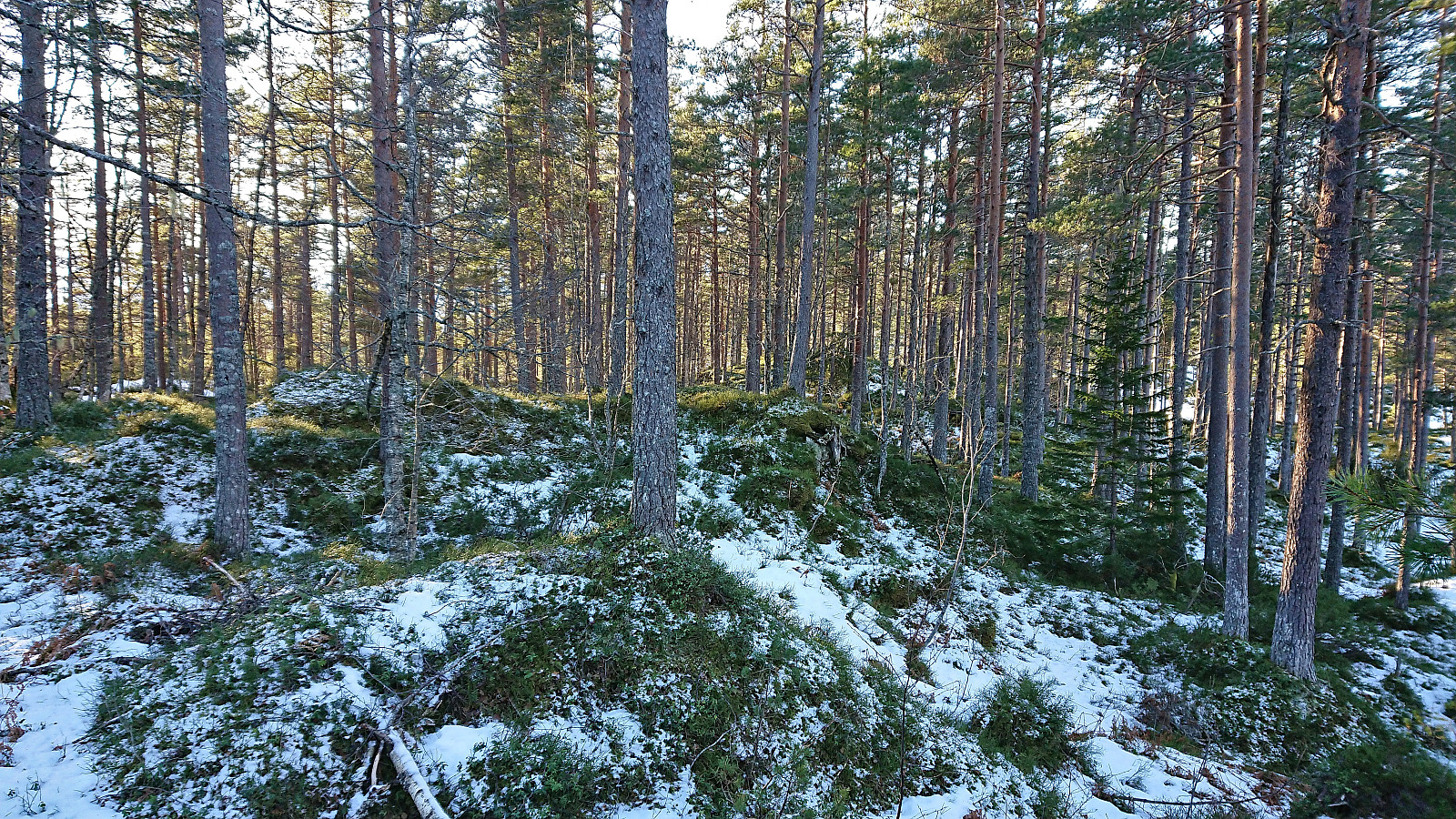
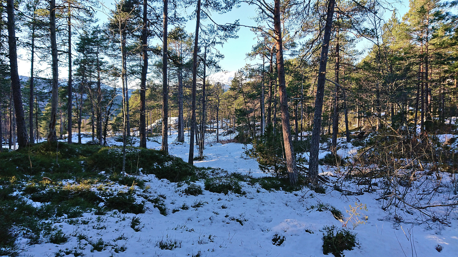
At Håheim I did an unnecessary detour, as I later discovered that the marked route to Åsen simply follows the road to Håheim and then south via a tractor road. Shortly after reconnecting with the main route, I continued on another tractor road south, forking right when the road split after just 50 meters, before finally turning southwest towards the summit. Soon the terrain was covered by roughly 10 cm of packed snow.
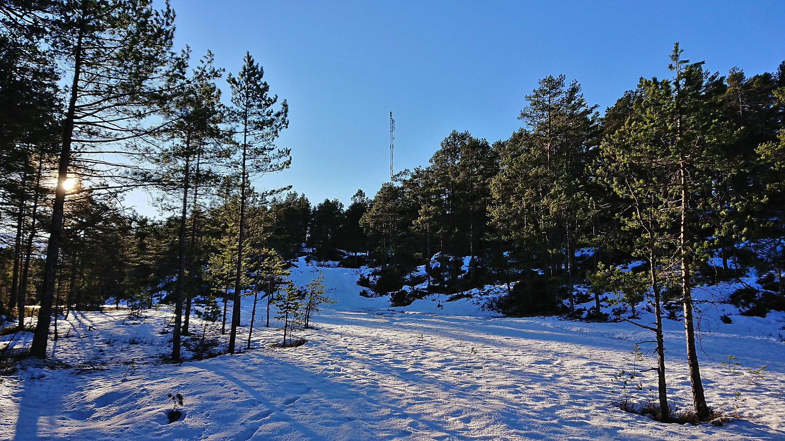
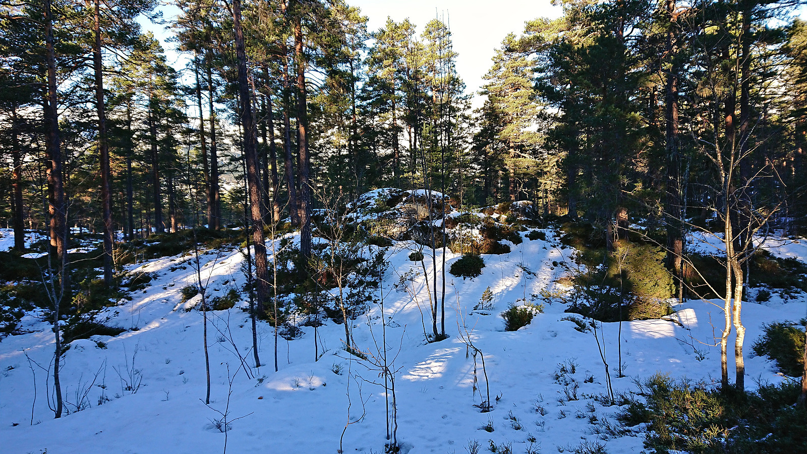
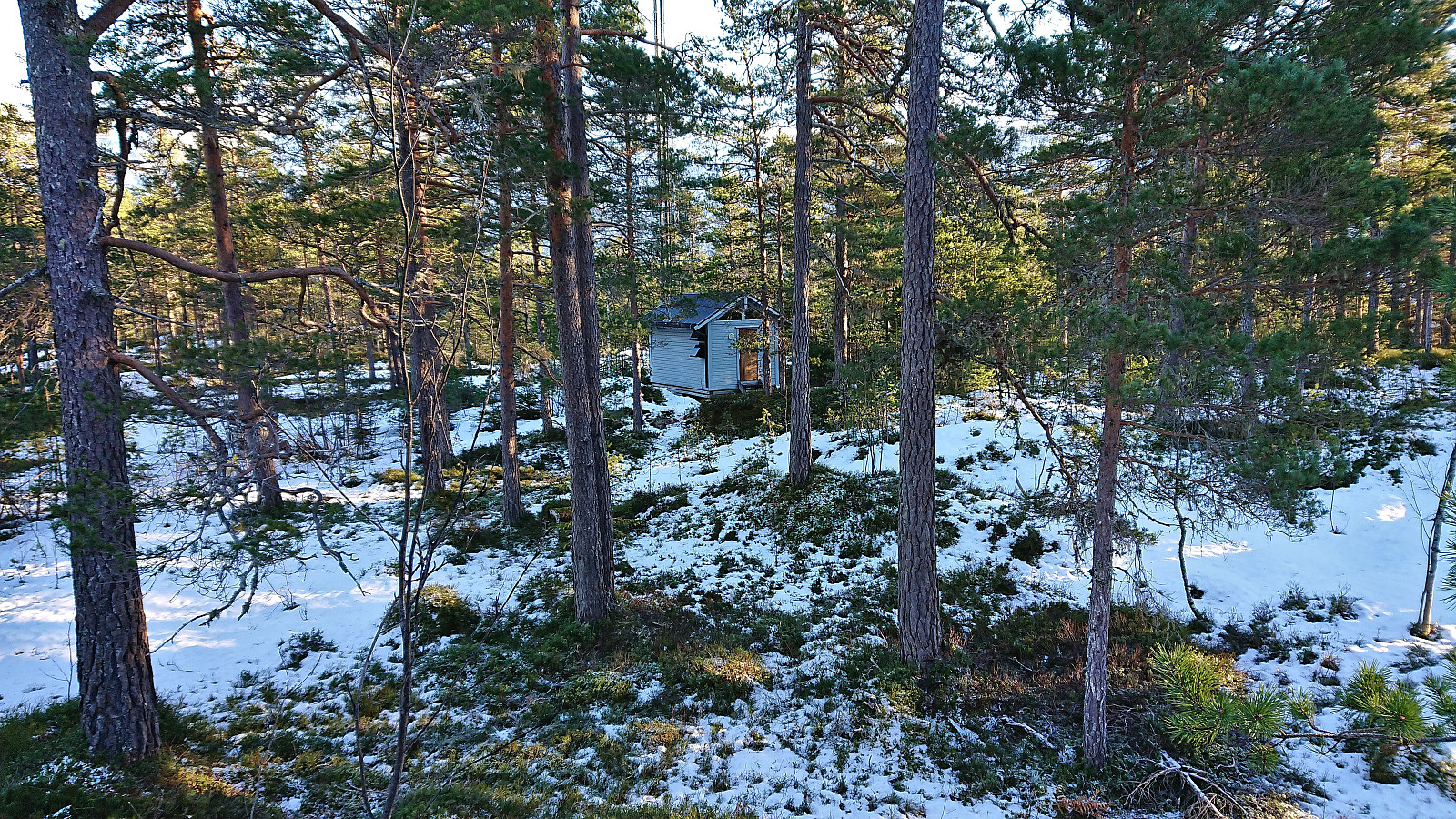
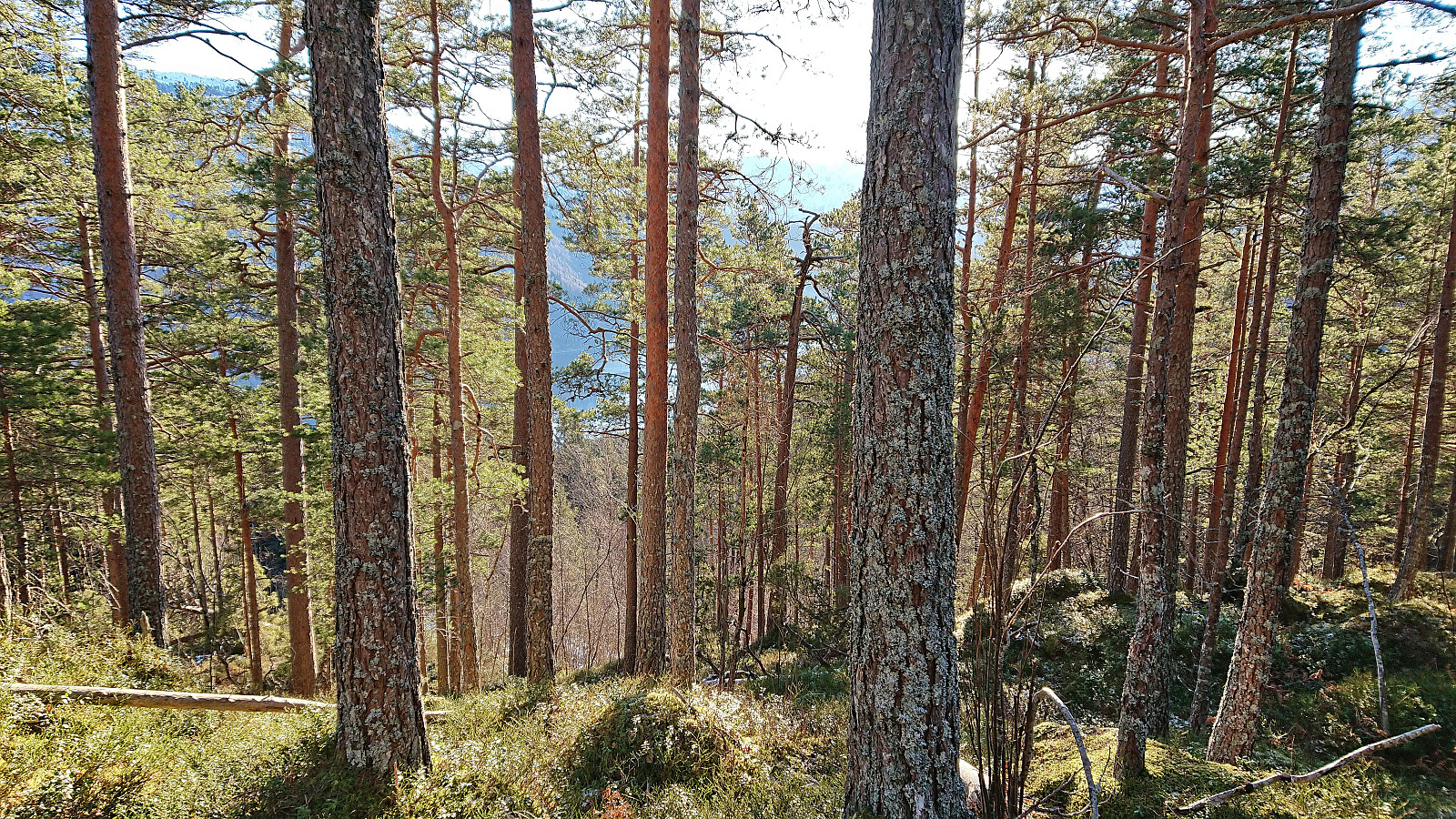
With regards to the highest point at Åsen there are at least six to choose from, with one of them being almost 300 meters northeast of the building with the antenna. I think the real summit is either the small hill around 40 meters northwest of this building or the other small hill 65 meters north of the same building.
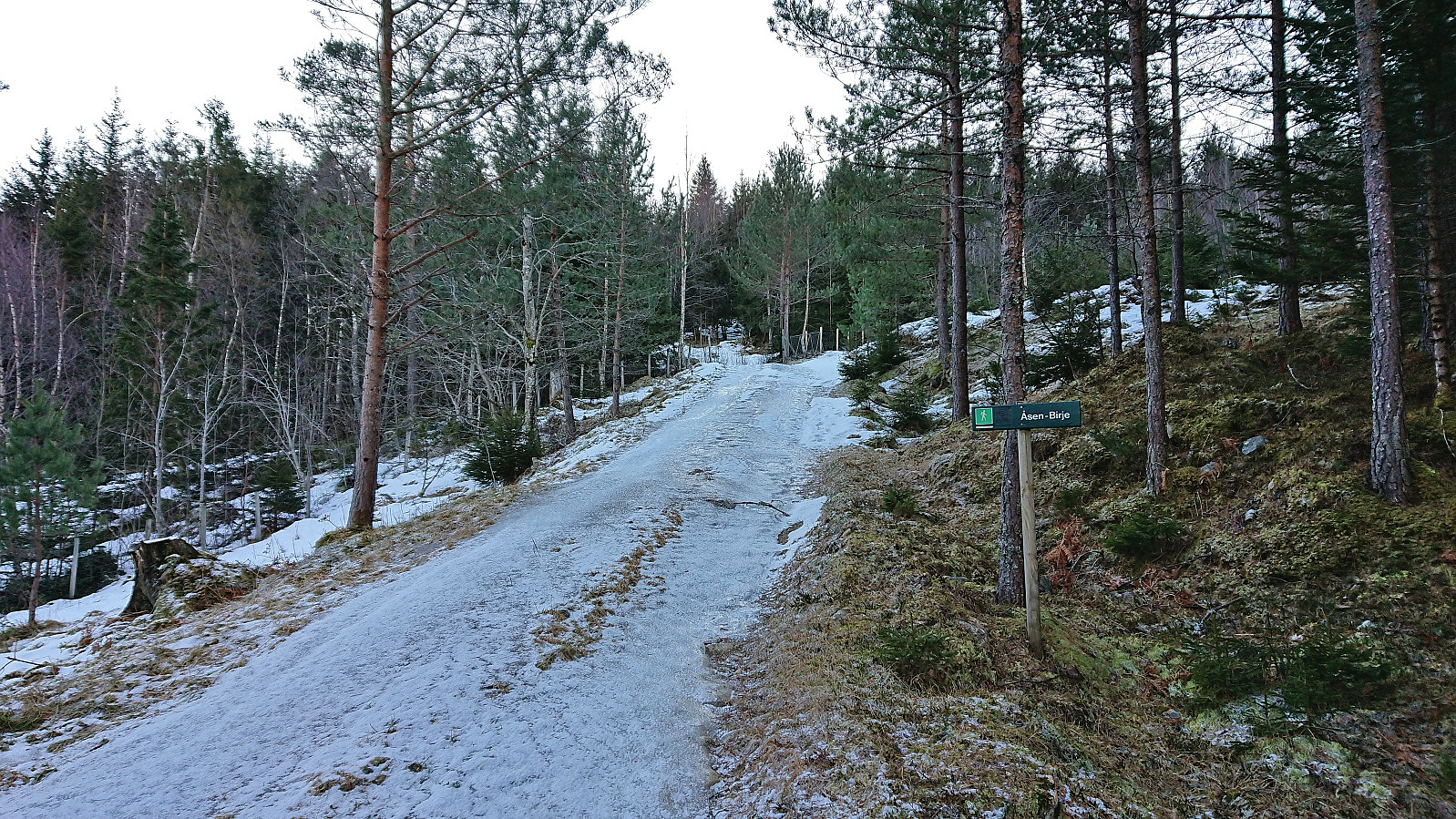
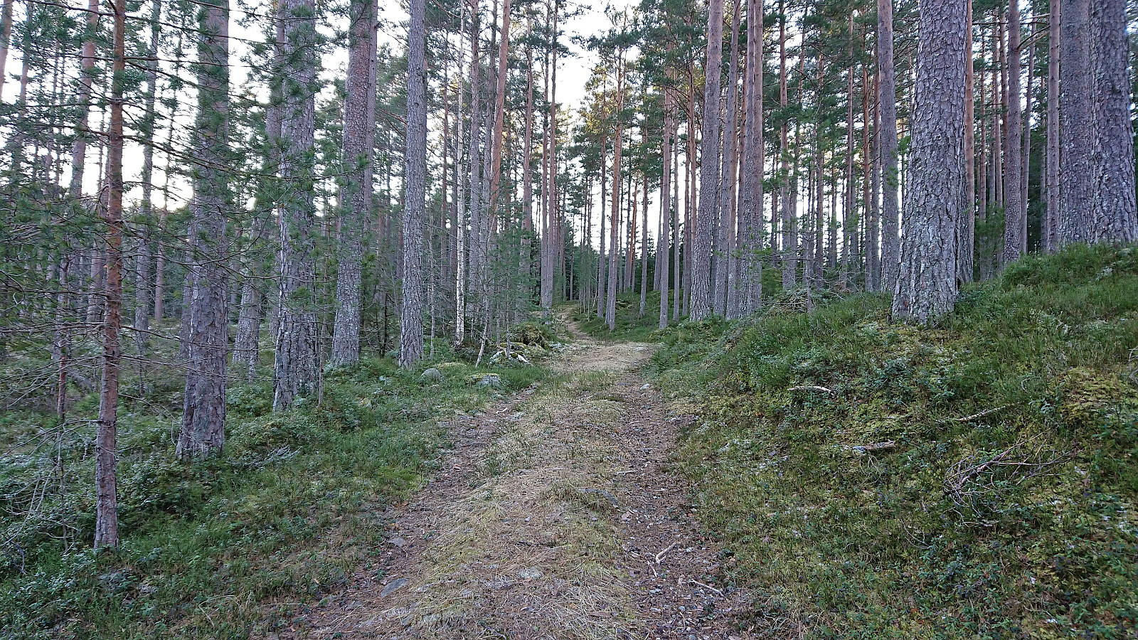
After visiting all of the most likely candidates, I did a brief search to see if there were any better views to be obtained, as the view from the summit area was rather limited due to lots of tall pine trees, but quickly gave up and instead turned northwest towards Solhaug. This involved partly trying to follow some of the snow-covered trails indicated on the map, but mainly just heading off-trail in the wanted direction.
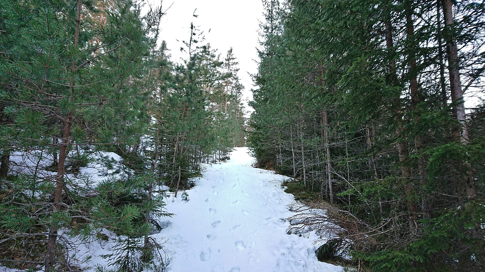
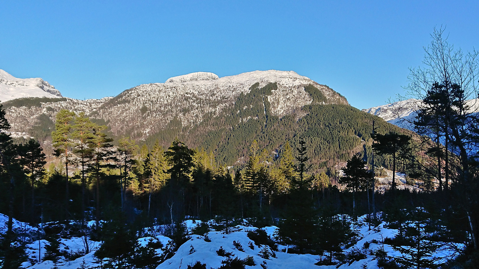
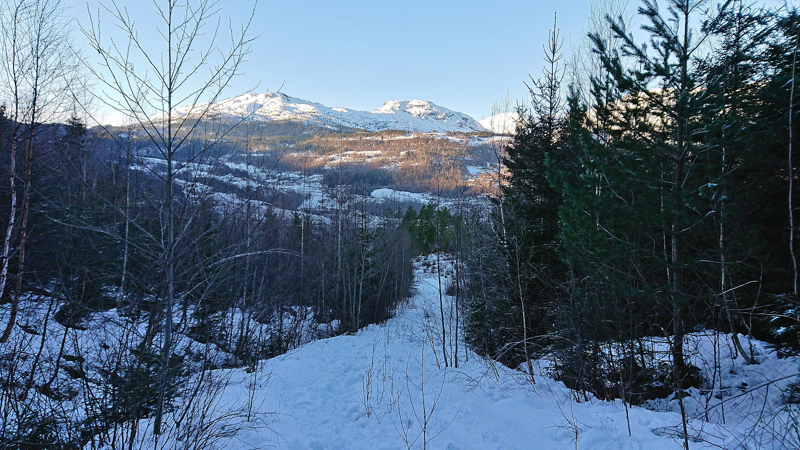
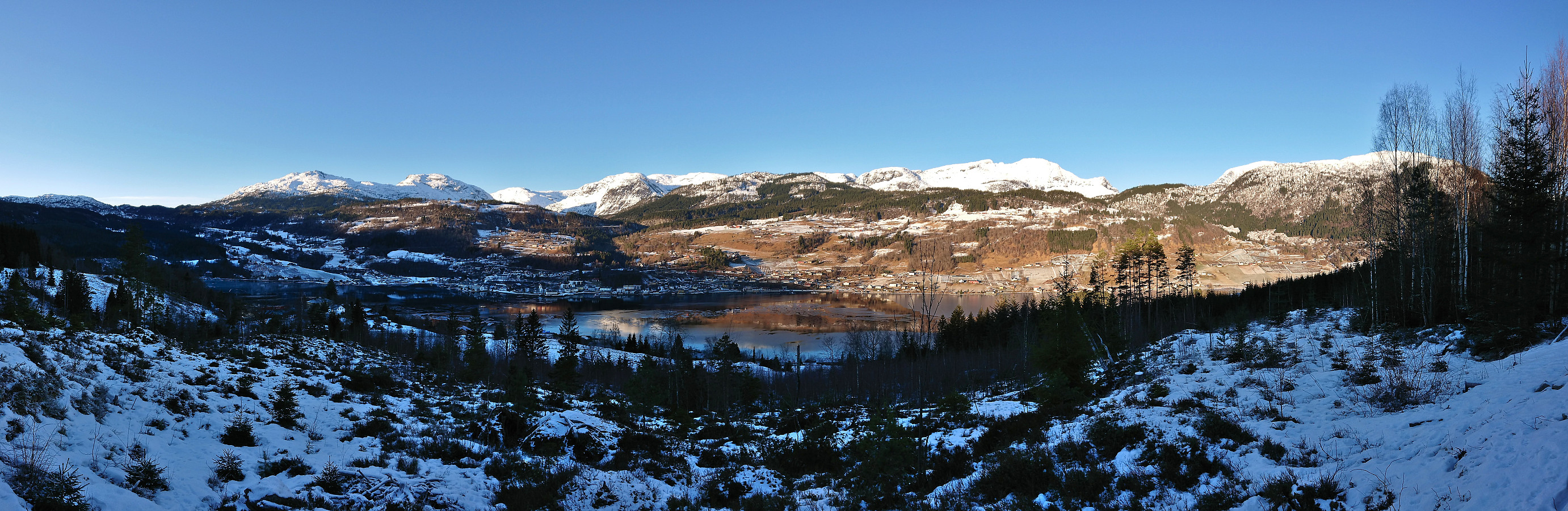
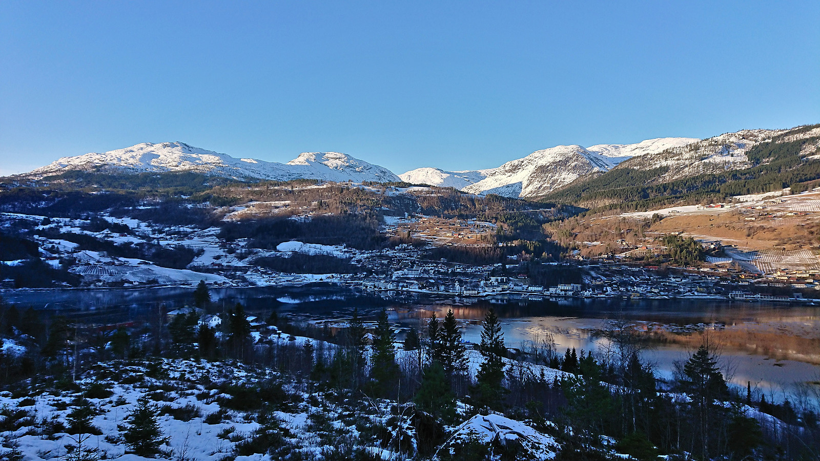
Less than 700 meters southeast of Solhaug I came across a narrow tractor road which led me all the way to Solhaug. Great views down to Ulvik with snowcapped mountains in the background. Next, I simply followed the marked route down to Hjeltnes where I arrived almost half an hour early for the bus back to Voss. Thankfully the bus showed up almost 15 minutes early and I was very happy to wait inside the warm bus. The trip was then concluded by taking the bus to Voss, and there waiting another 50 minutes for the train back to Bergen.
In summary, a nice short hike with some great views along the way, just not from the summit area (nor the many alternative summits).
| Start date | 22.01.2023 12:09 (UTC+01:00) |
| End date | 22.01.2023 14:33 (UTC+01:00) |
| Total Time | 2h 24min |
| Moving Time | 2h 21min |
| Stopped Time | 0h 3min |
| Overall Average | 4.0km/h |
| Moving Average | 4.0km/h |
| Distance | 9.5km |
| Vertical meters | 300m |


User comments