
Hopsfjellet and Staupefjellet (23.12.2022)

Written by hbar (Harald Barsnes)

| Start point | Tittelsnesvegen v/Flåtene (46m) |
|---|---|
| Endpoint | Tittelsnesvegen v/Flåtene (47m) |
| Characteristic | Hillwalk |
| Duration | 2h 02min |
| Distance | 5.5km |
| Vertical meters | 384m |
| GPS |
|
| Ascents | Hopsfjellet (333m) | 23.12.2022 |
|---|---|---|
| Staupefjellet (342m) | 23.12.2022 | |
| Visits of other PBEs | Hopsfjellet parkering (43m) | 23.12.2022 |
Hopsfjellet and Staupefjellet
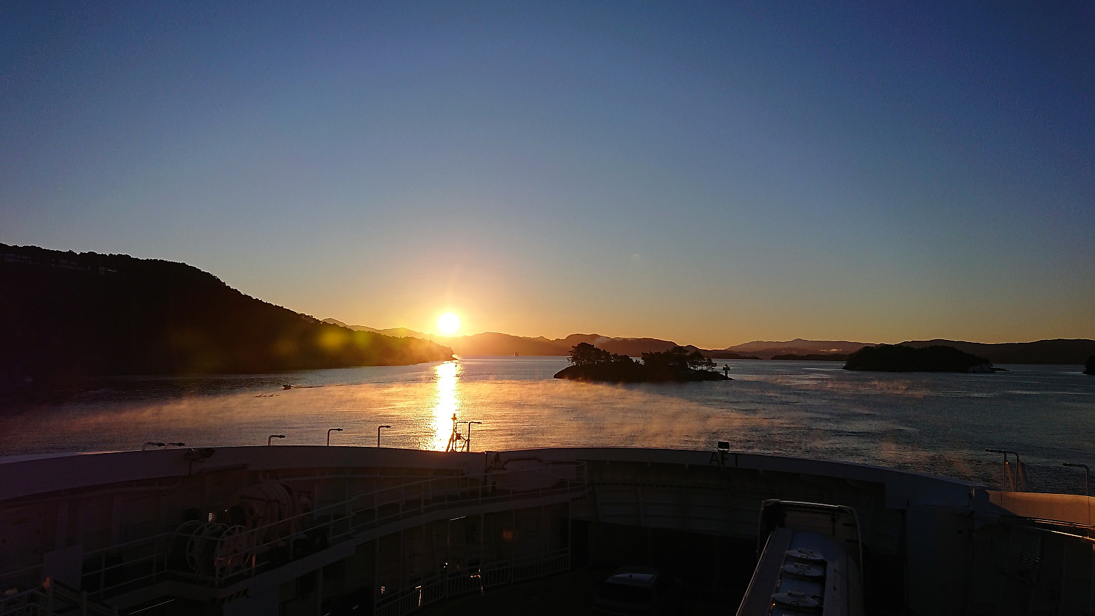
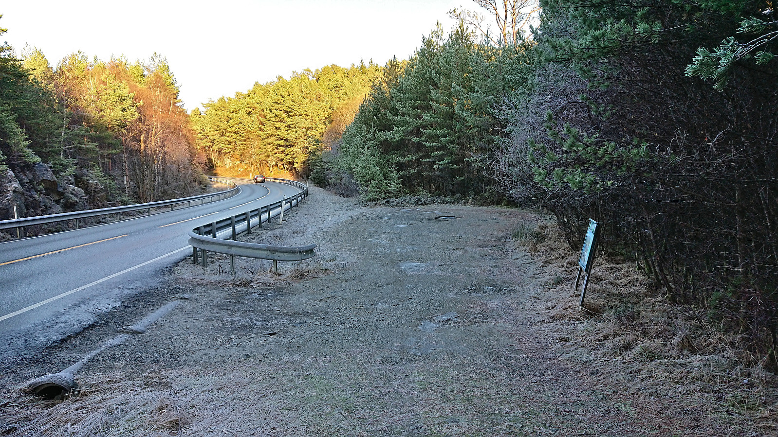
The first day of my extended Christmas holiday was spent travelling to Sveio to ascend Hopsfjellet and Staupefjellet. This included first taking the express bus (and ferry) to Heiane. Here I left the express bus and after waiting around 20 minutes continued south on a local bus. This allowed me to get off at a stop closer to the trailhead and thus greatly reduce the walking distance along the main road (especially as there is no sidewalk).
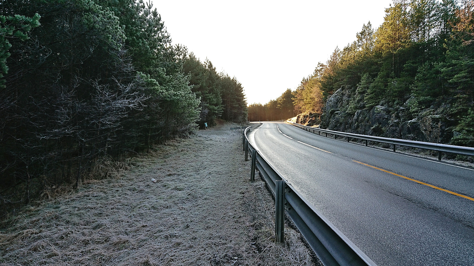
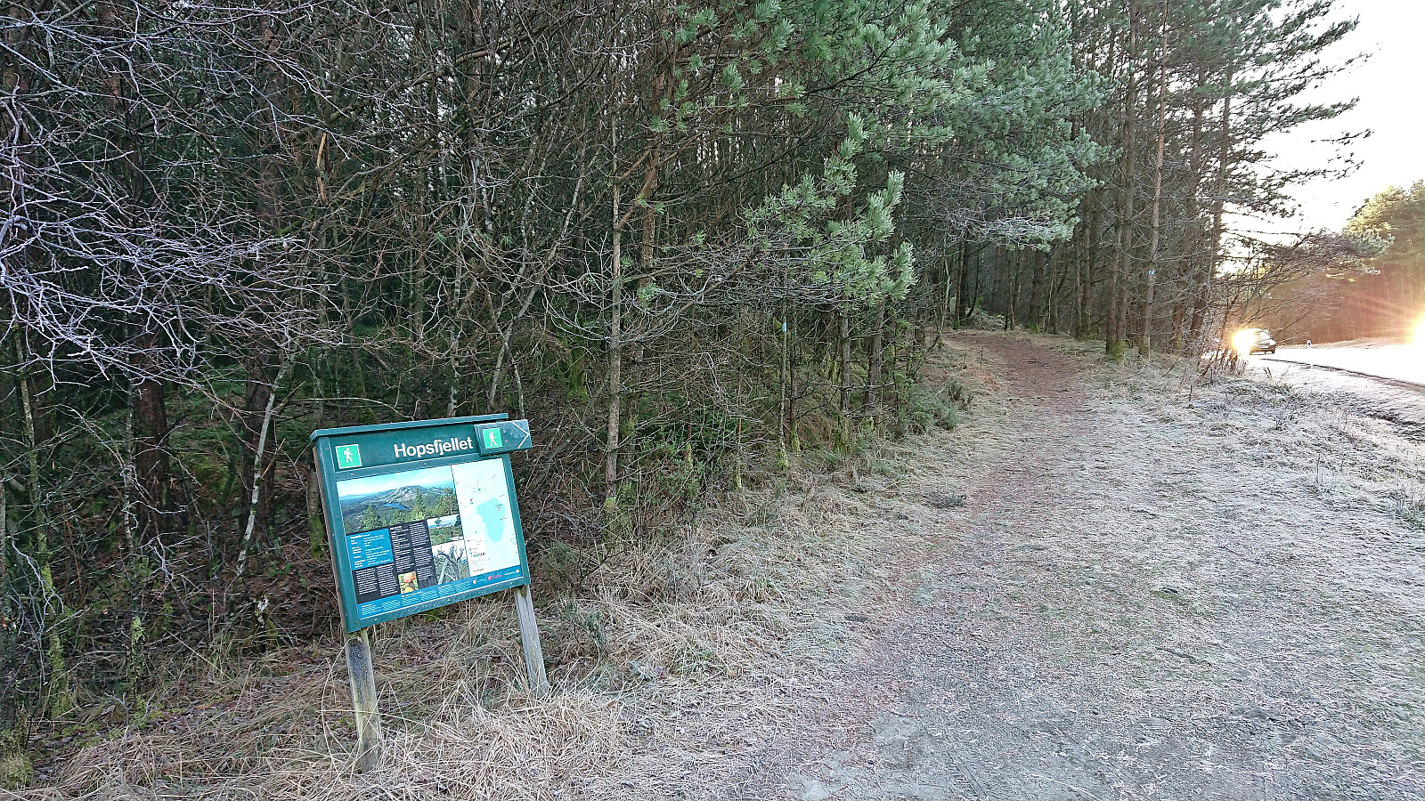
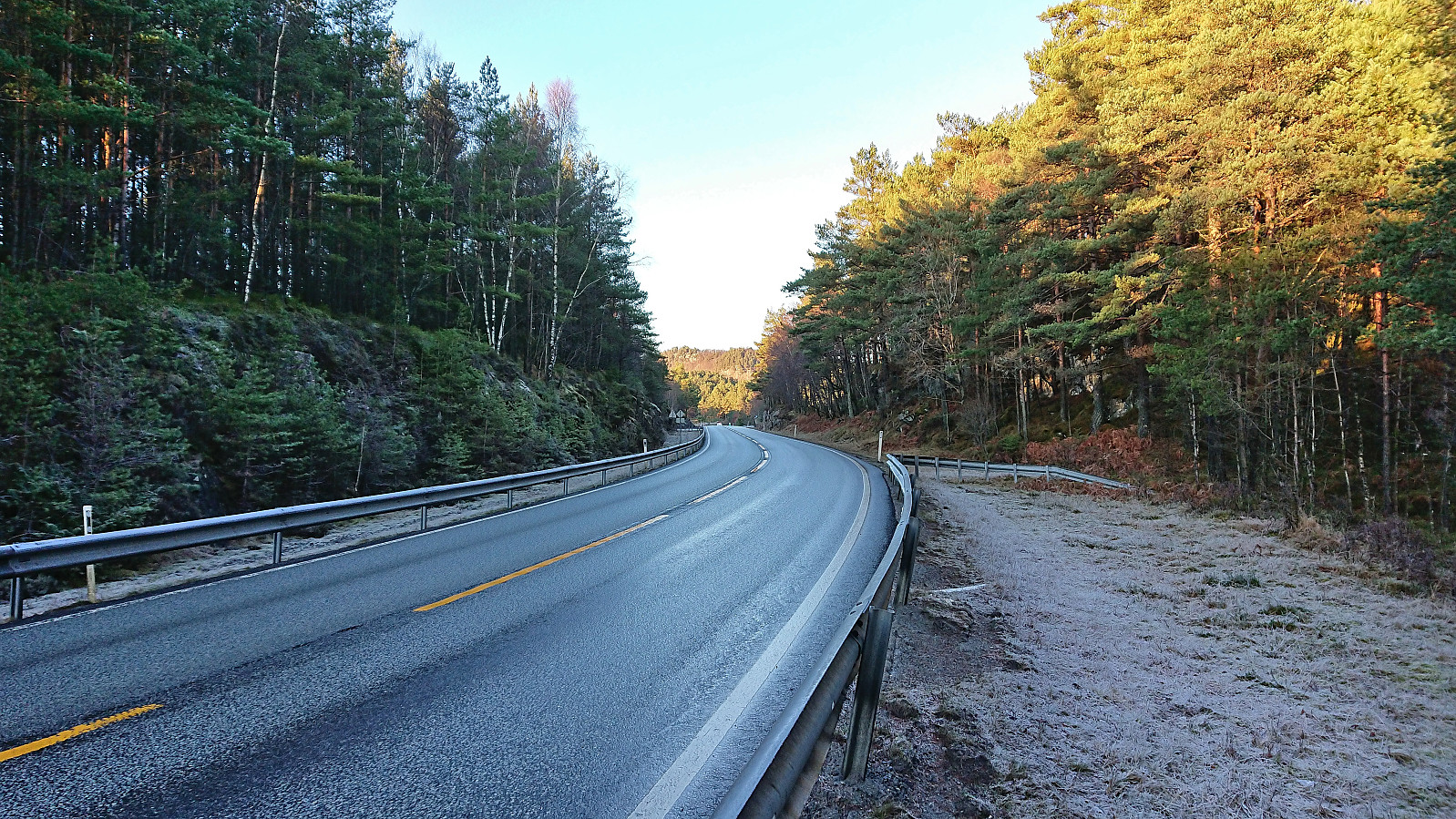
Initially, I had planned to get off at the stop called Hope, but at the last minute figured out that Flåtene would be even closer. The result was a less than 250 meters walk along the main road before reaching the marked trailhead and the small parking lot. As expected, there was no sidewalk, but thankfully there was plenty of space next to the road and for the final half there was even a railing between me and the cars.
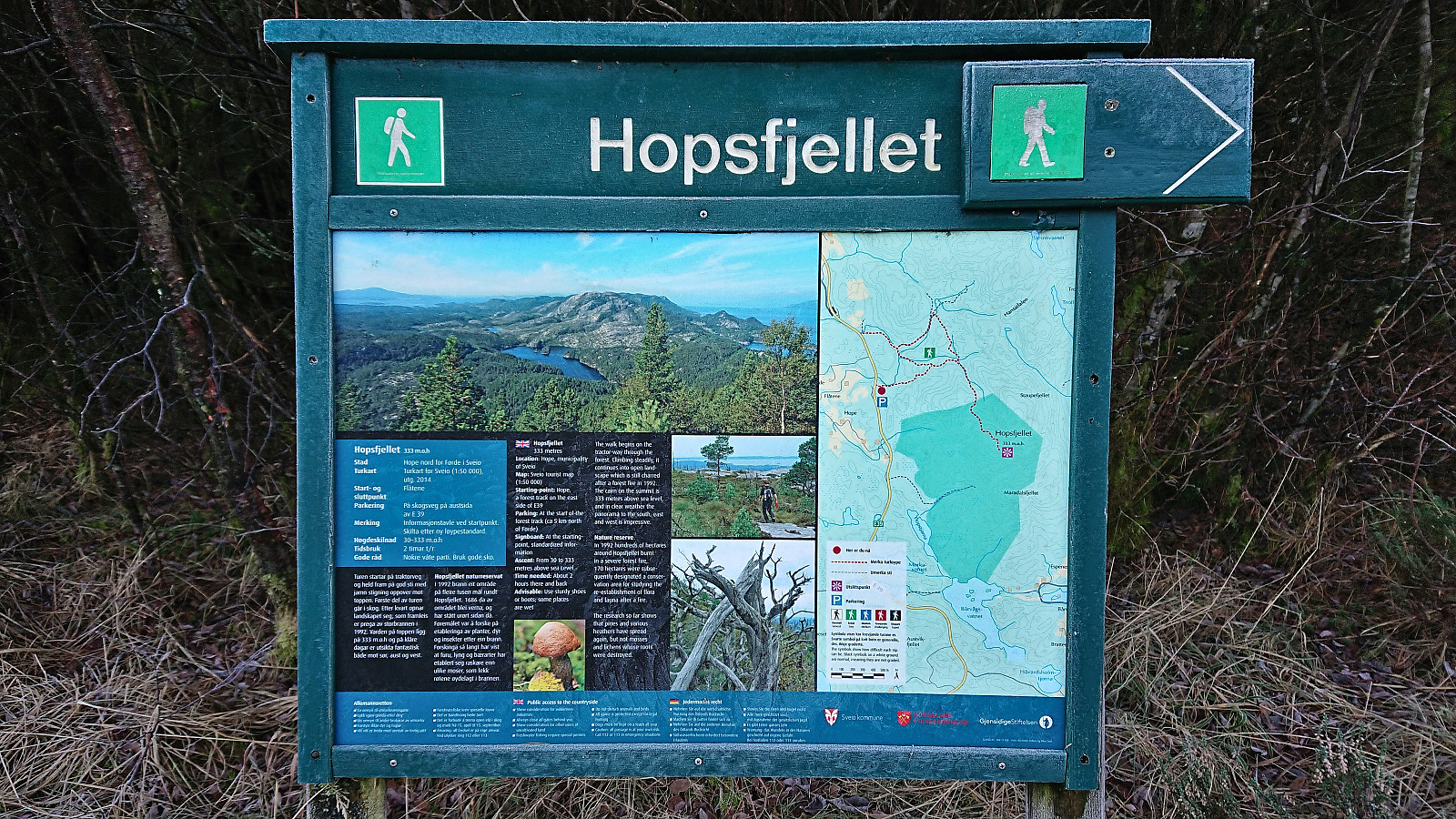
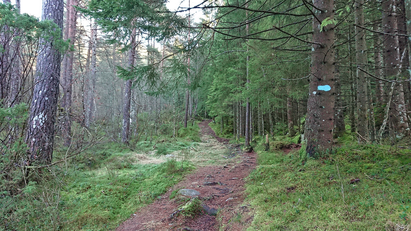
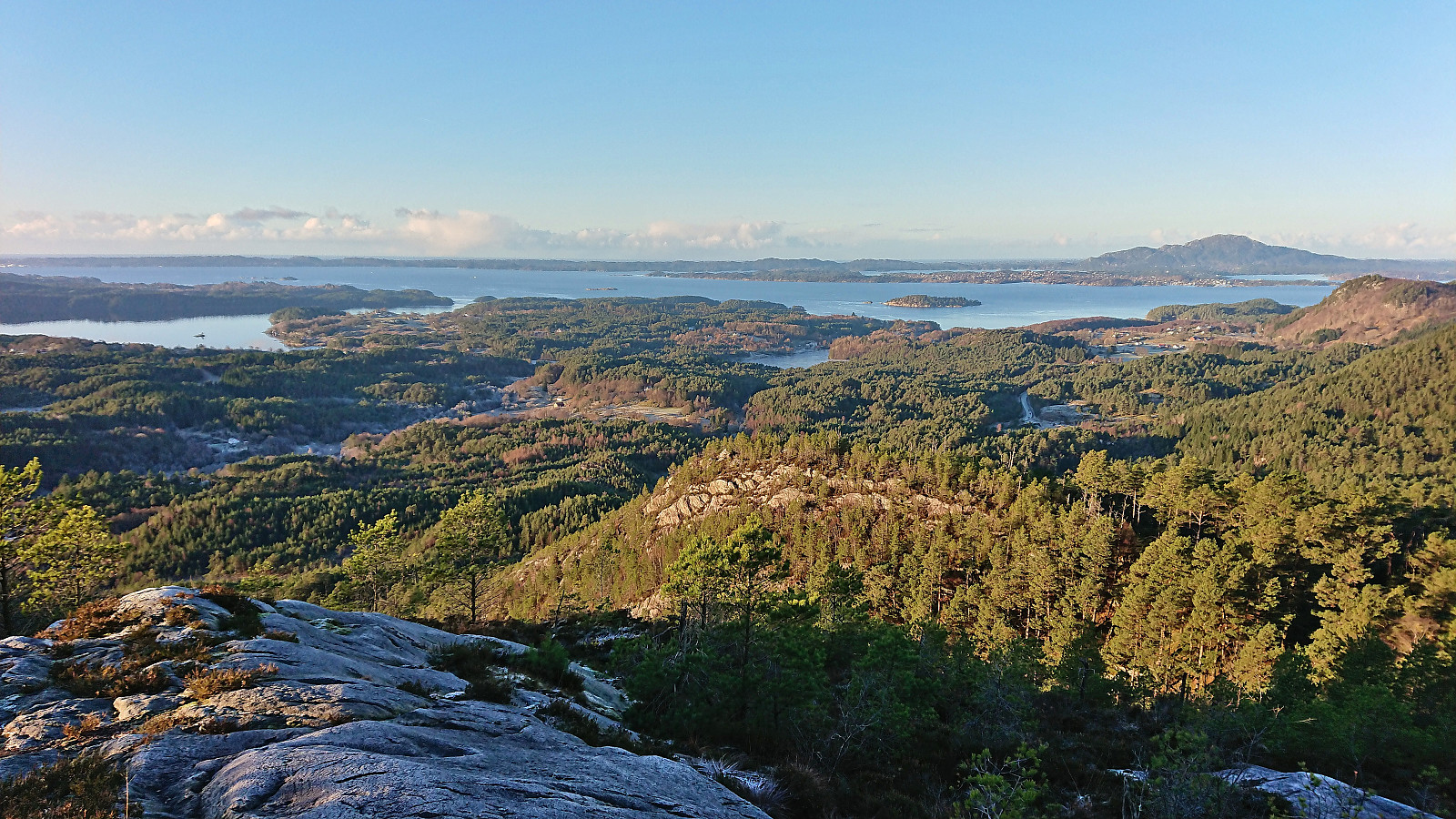
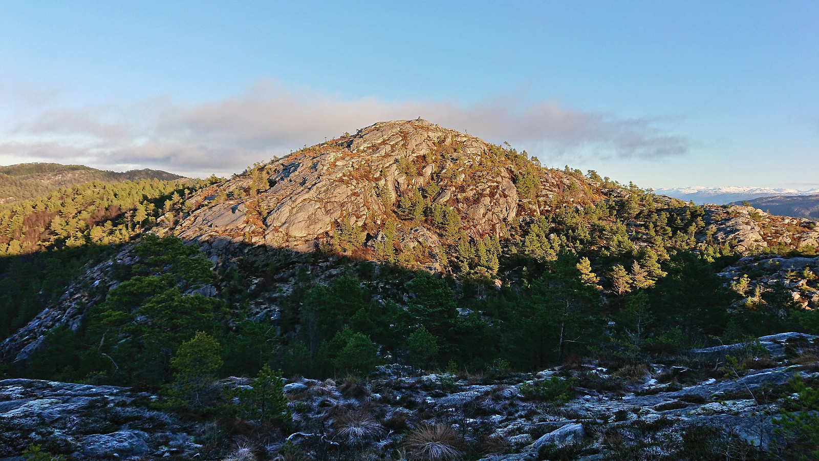
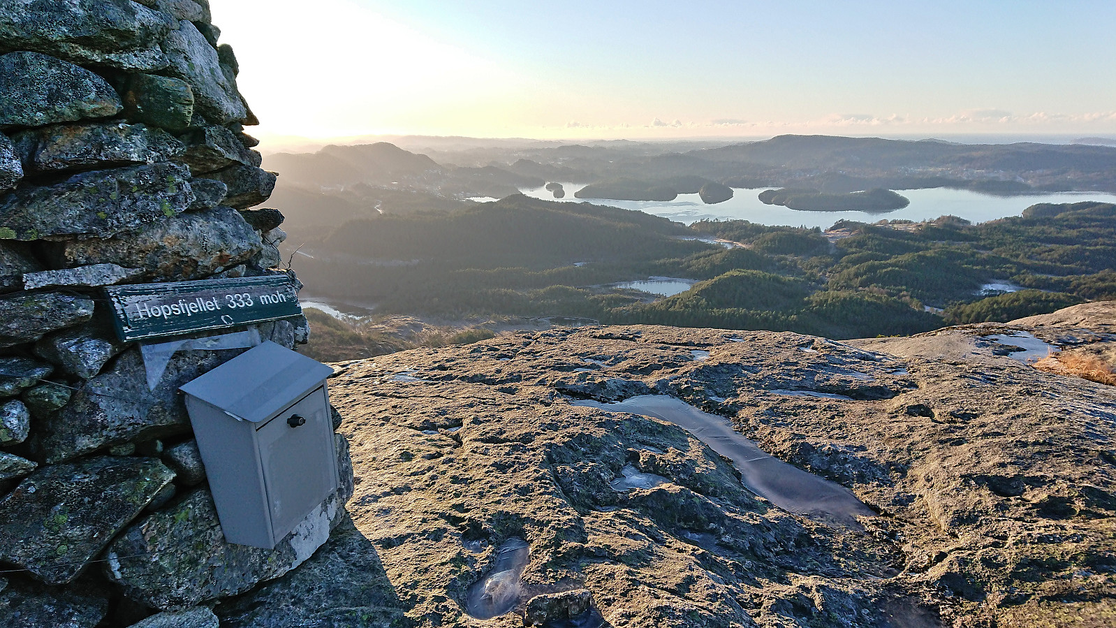
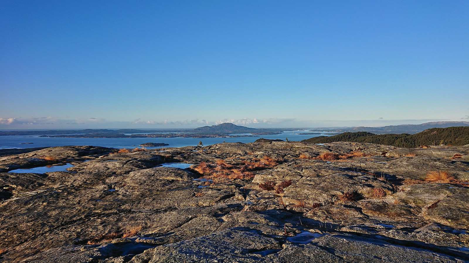
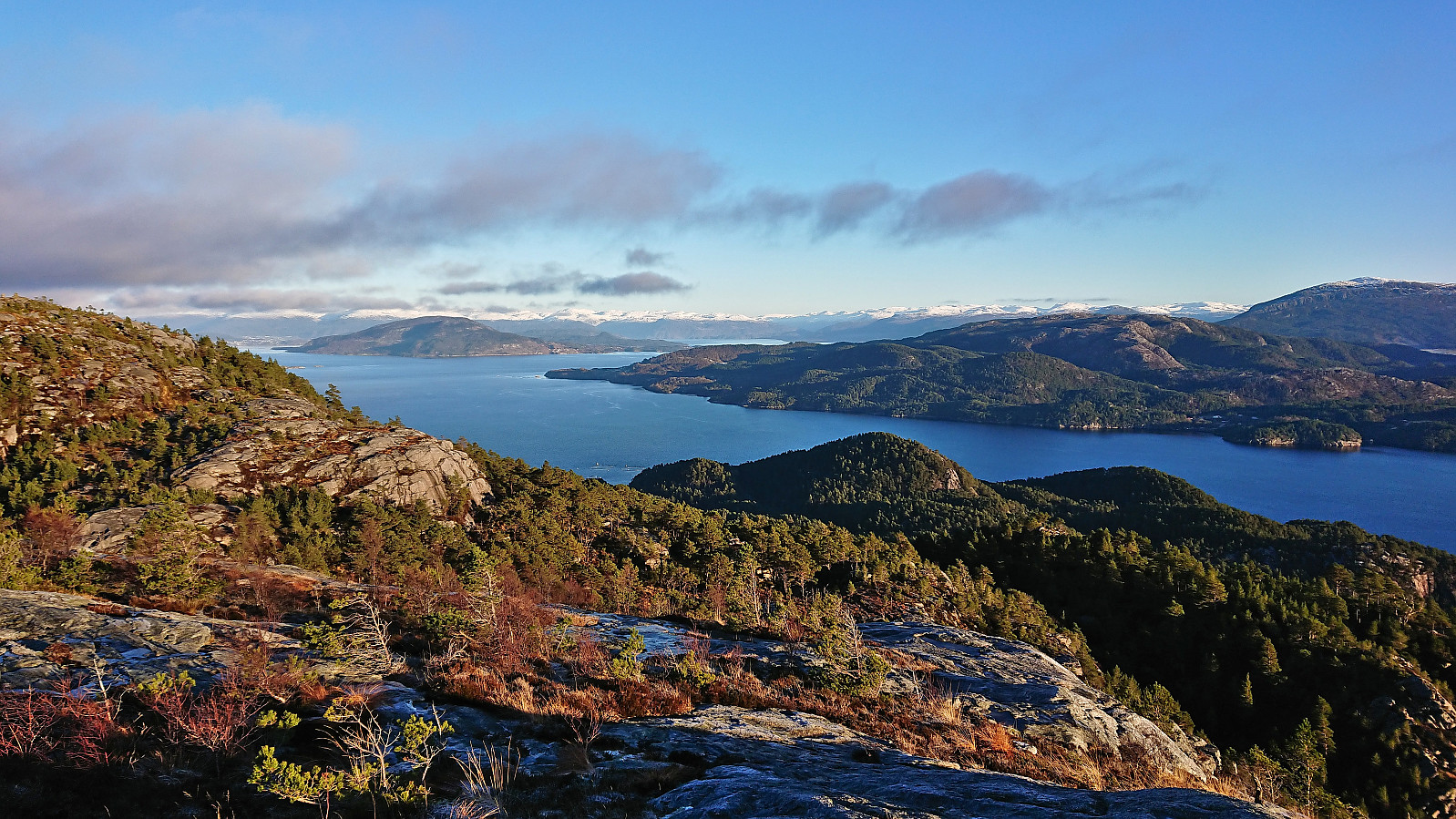
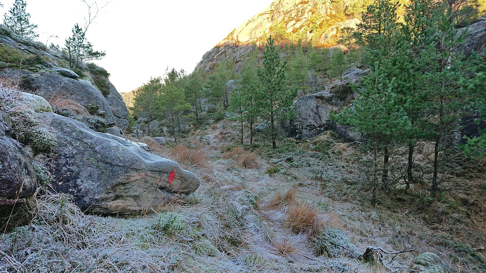
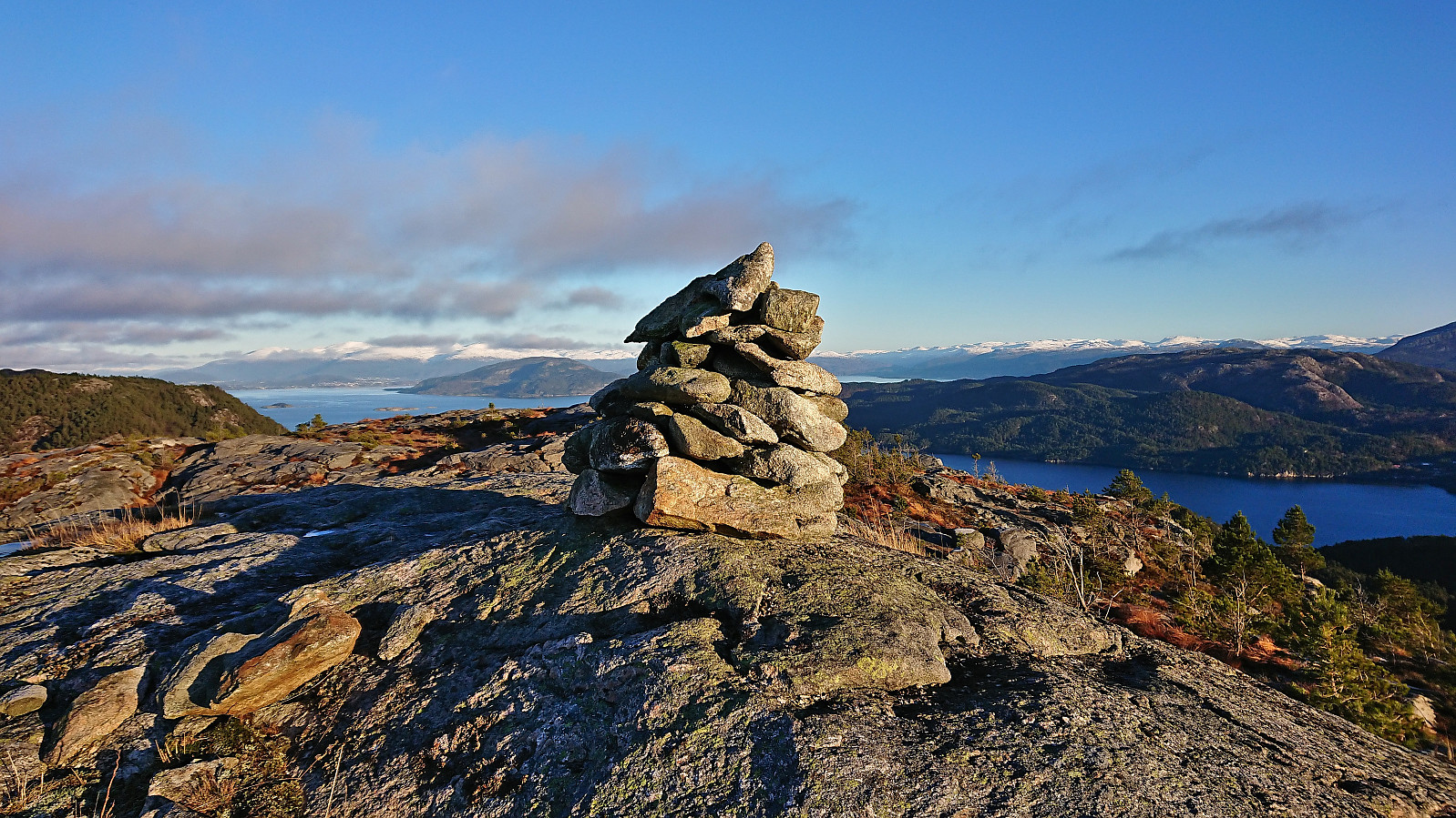
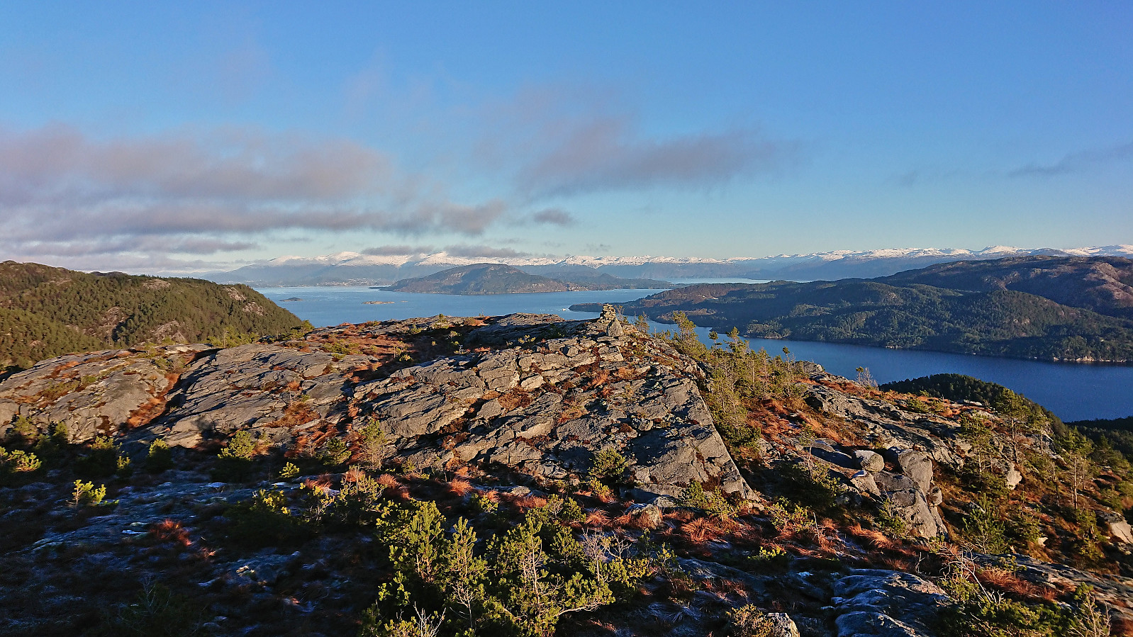
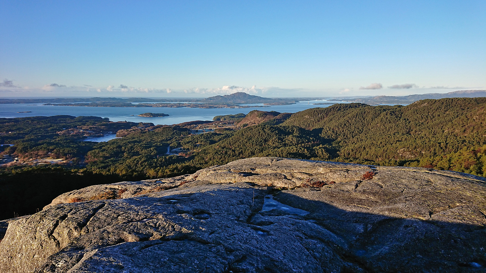
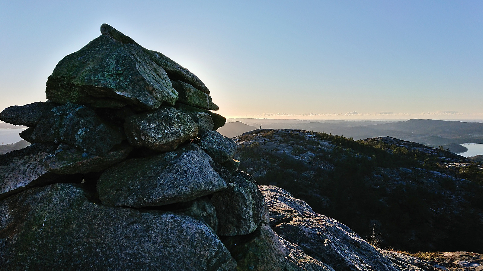
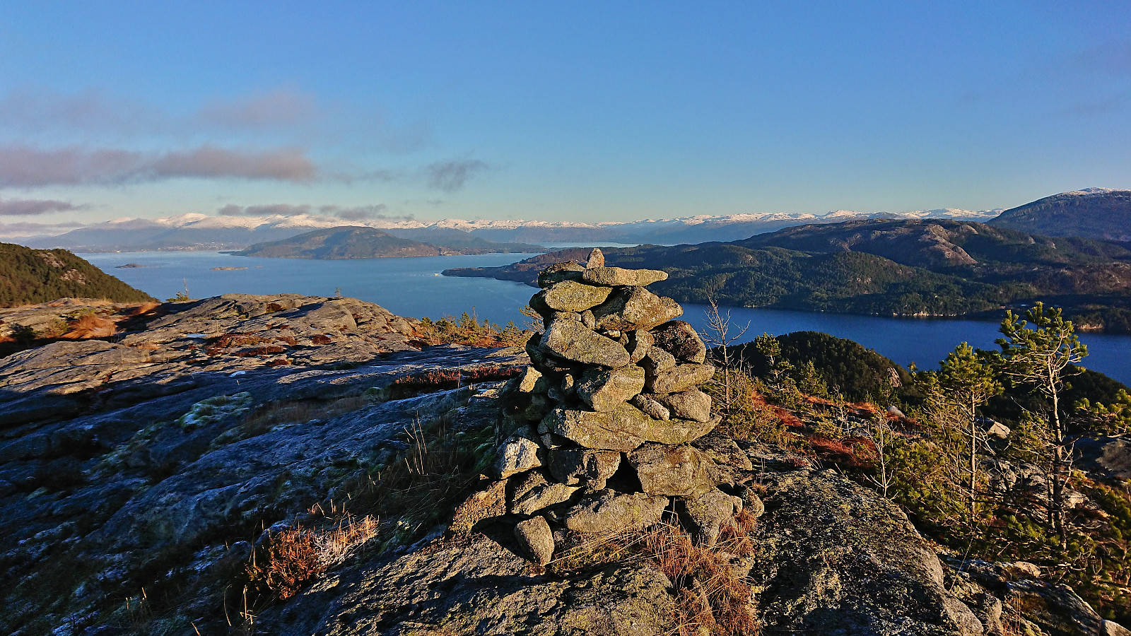
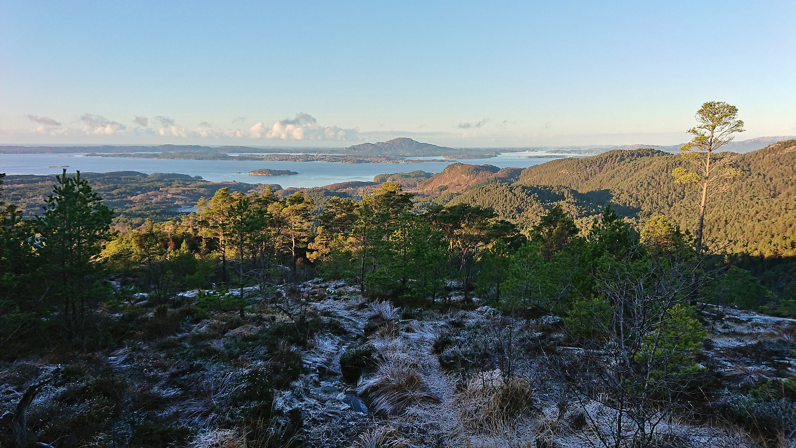
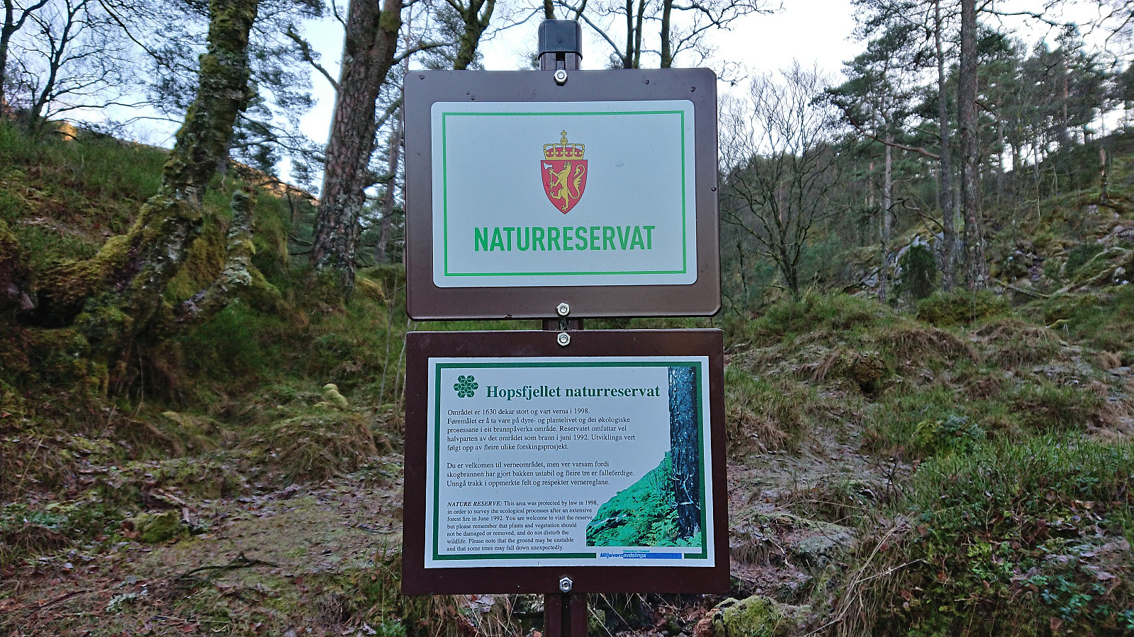
The trail was marked with blue paint and generally easy to follow, although a repaint would not have hurt. Plenty of wet areas along the way, but overall more icy than wet today. Most of the ice could however easily be avoided and I shortly reached the summit of Hopsfjellet without any real challenges. Excellent views from the summit, I however did not stay long before continuing towards the main goal of the day, namely Staupefjellet.
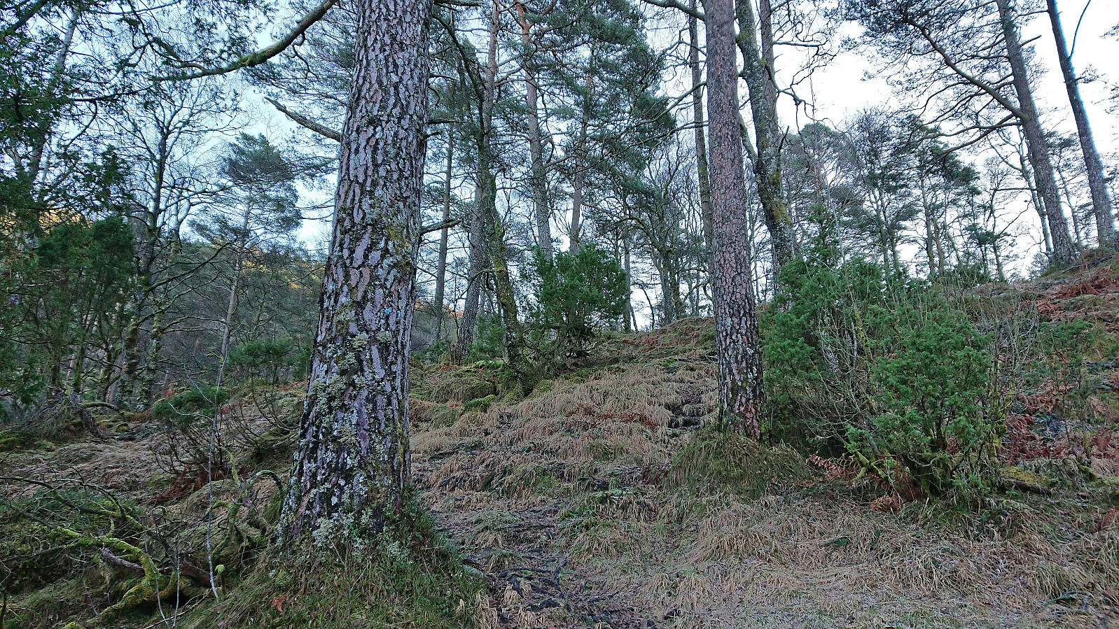
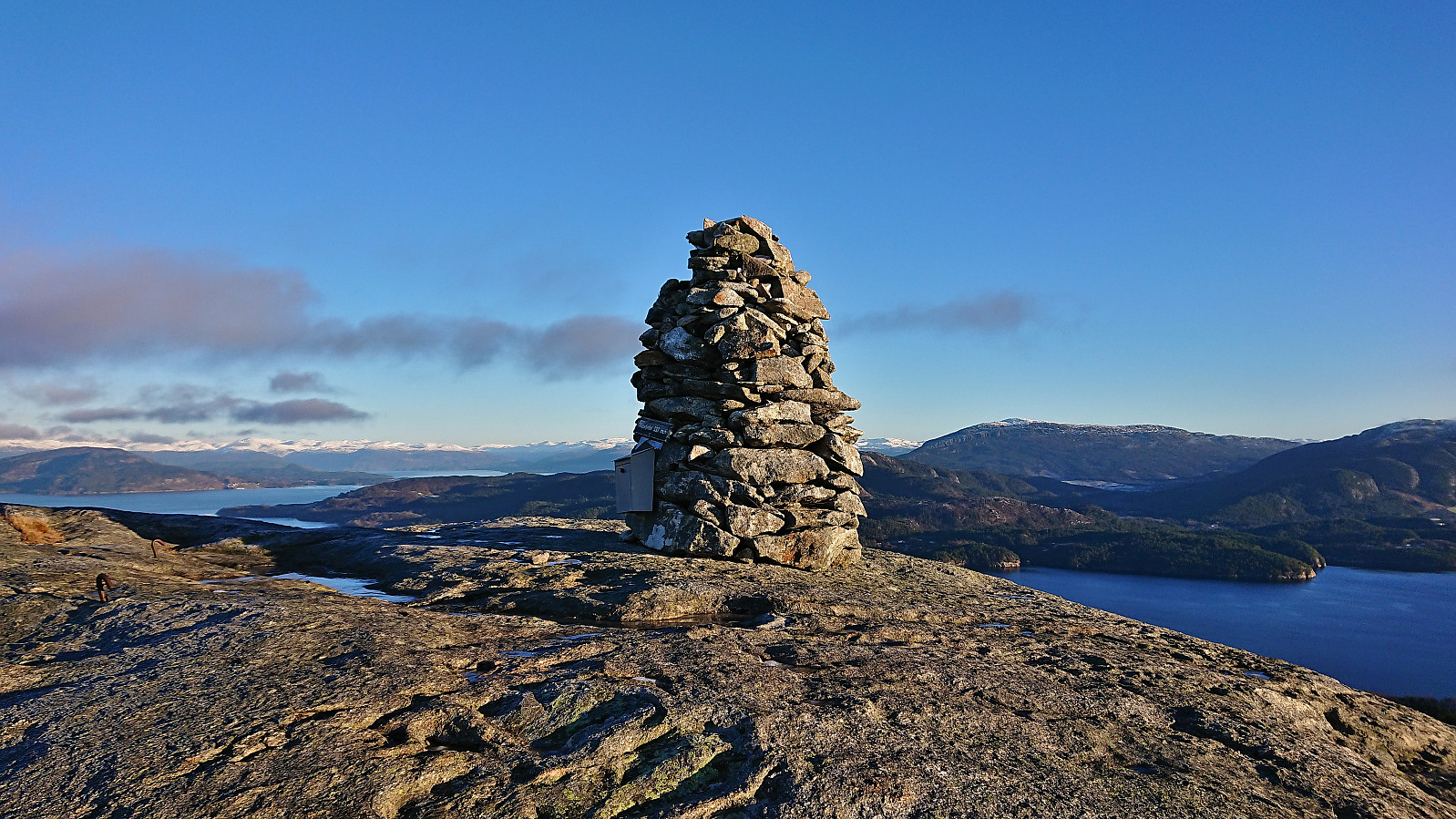
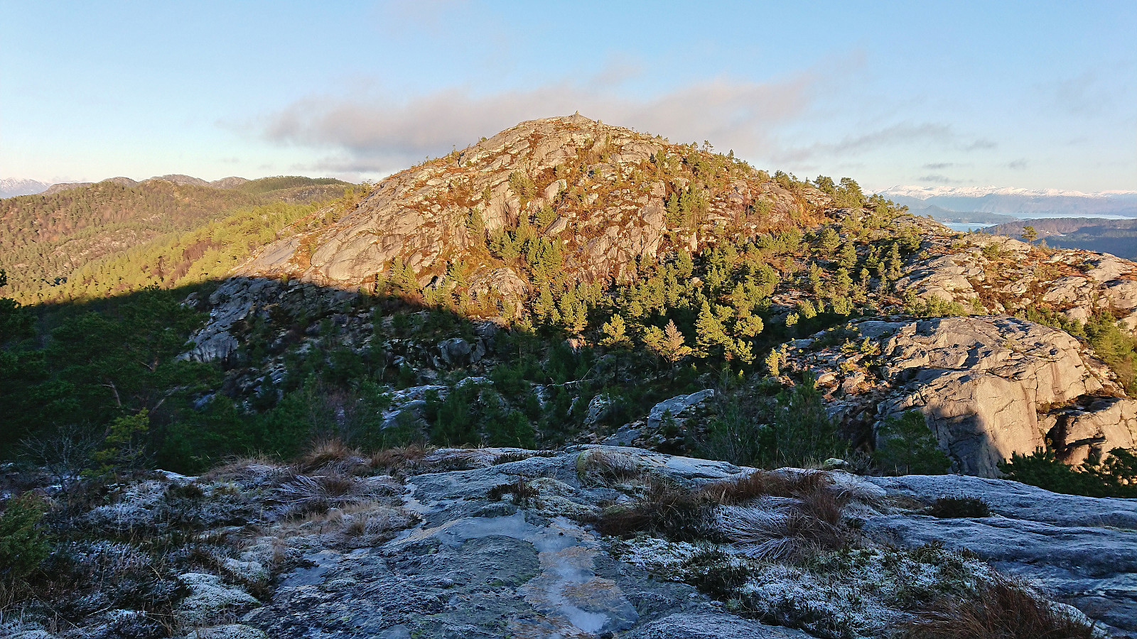
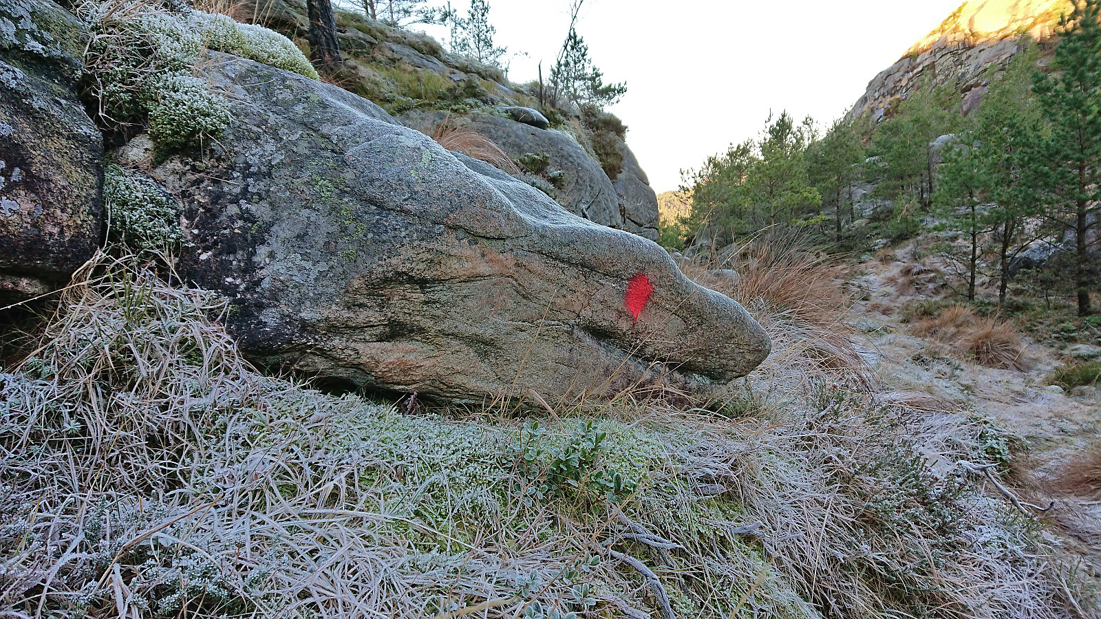
It should be noted that until very recently Staupefjellet was incorrectly named Hopsfjellet NV here on PB. However, these are clearly two separate peaks and the name Staupefjellet is also indicated on the map. Getting from Hopsfjellet to Staupefjellet was relatively straightforward and at the start there were even a couple of red trail markers to show the way. But whether these indicate a route all the way to the summit I do not know, as I soon lost them and simply found my own way. Once again, excellent views from the summit with two cairns where the southwestern one was located at the highest point.
After a short break at the summit, I returned more or less the same way, even finding a couple more of the red trail markers before reconnecting with the trail used for the ascent. Taking it relatively slow, both due to the icy conditions and not wanting to be too early at the bus stop, I completed the hike about 10 minutes before the return bus to Bergen showed up (or rather to Leirvik, where I once more switched to the express bus).
In summary, an excellent short hike with great views that can be highly recommended.
| Start date | 23.12.2022 12:17 (UTC+01:00) |
| End date | 23.12.2022 14:19 (UTC+01:00) |
| Total Time | 2h 02min |
| Moving Time | 1h 49min |
| Stopped Time | 0h 12min |
| Overall Average | 2.7km/h |
| Moving Average | 3.0km/h |
| Distance | 5.5km |
| Vertical meters | 384m |


User comments