
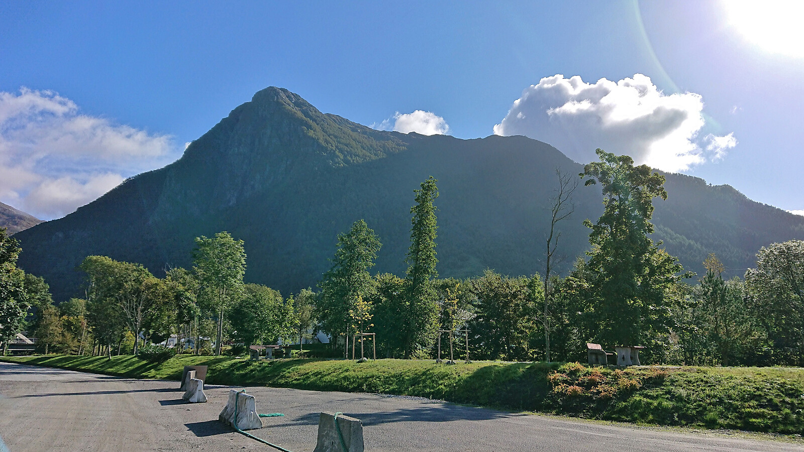
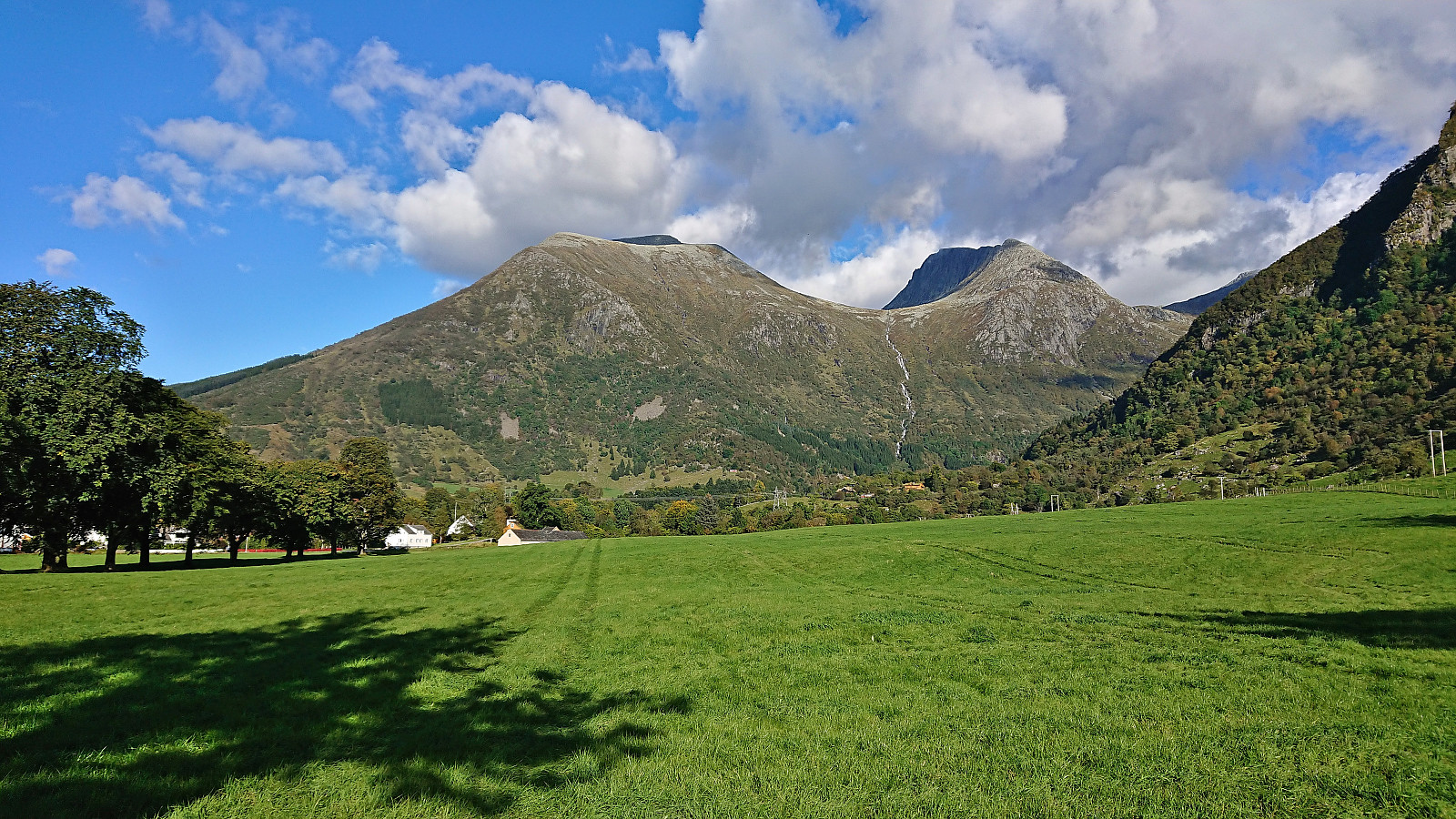
Malmangersnuten from Rosendal kai (24.09.2022)

Geschrieben von hbar (Harald Barsnes)

| Startpunkt | Rosendal kai (1m) |
|---|---|
| Endpunkt | Rosendal kai (1m) |
| Tourcharakter | Bergtour |
| Tourlänge | 3h 19min |
| Entfernung | 9,6km |
| Höhenmeter | 945m |
| GPS |
|
| Besteigungen | Malmangersnuten (888m) | 24.09.2022 |
|---|---|---|
| Besuche anderer PBE | Hjort (735m) | 24.09.2022 |
Malmangersnuten from Rosendal kai
Ascending to the top of Malmangersnuten had been on my list ever since I had to turn back at the viewpoint called Hjort just below the summit in May 2008 in order to not be too late for a conference dinner at Baroniet Rosendal. There would be a tight schedule this time around as well, in total 3.5 hours from disembarking in Rosendal until the boat would take me back to Bergen.
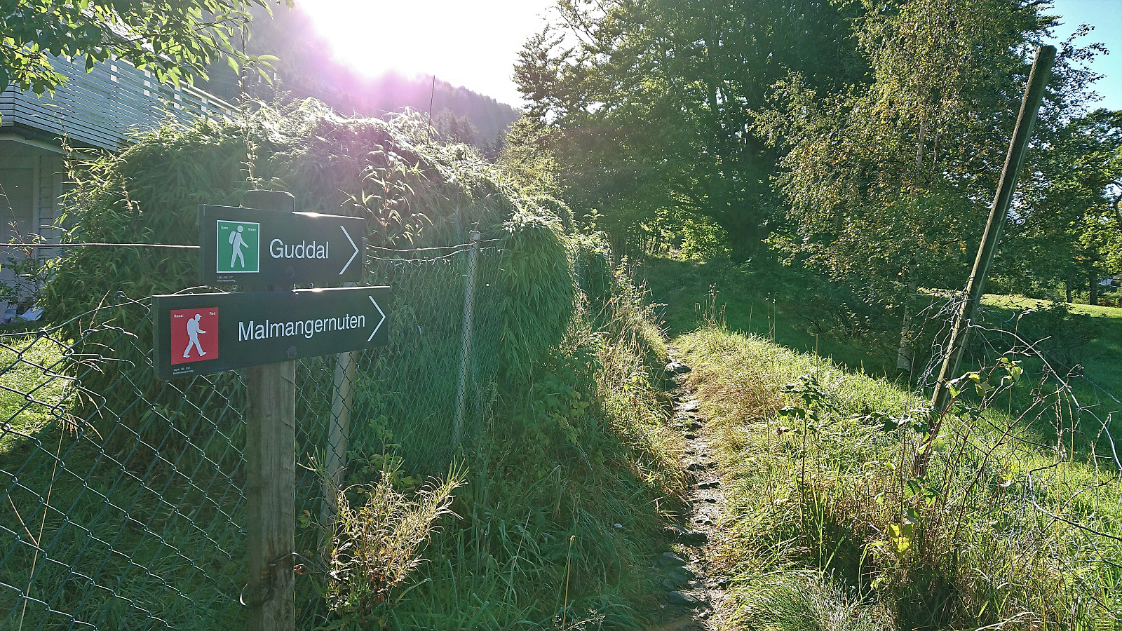
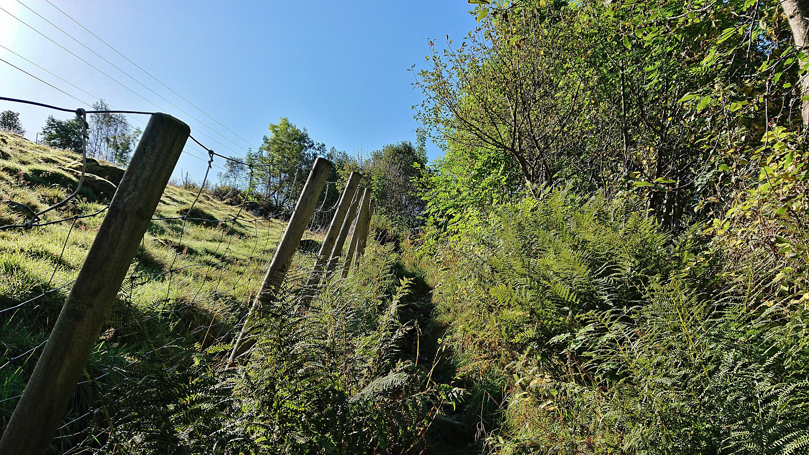
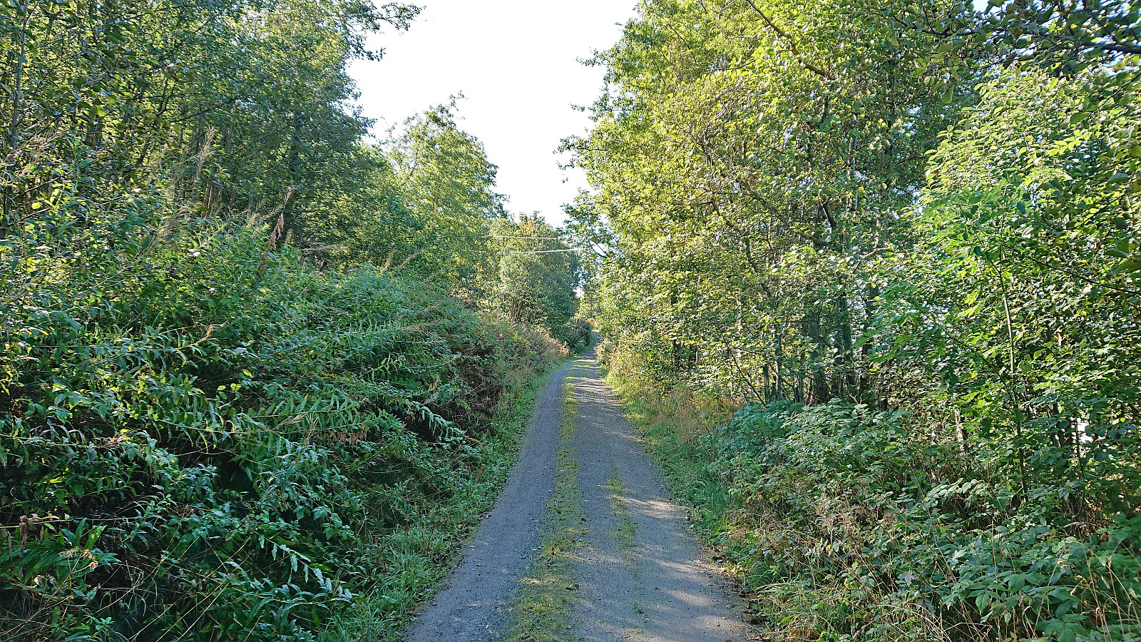
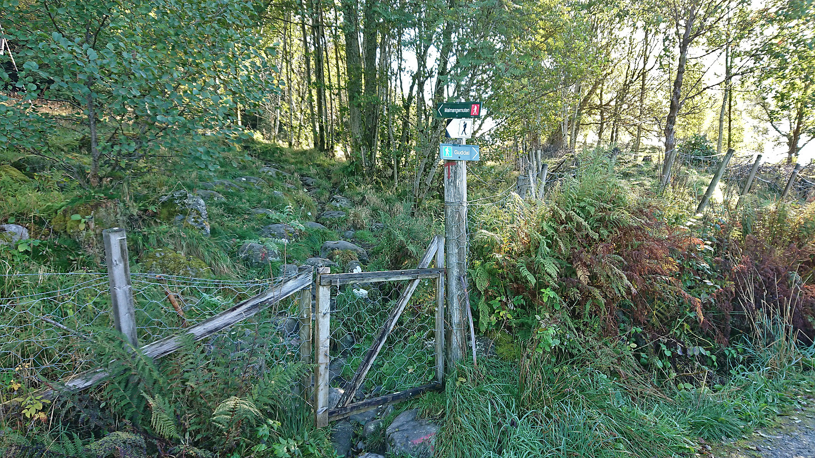
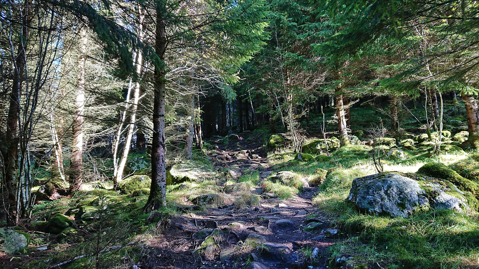
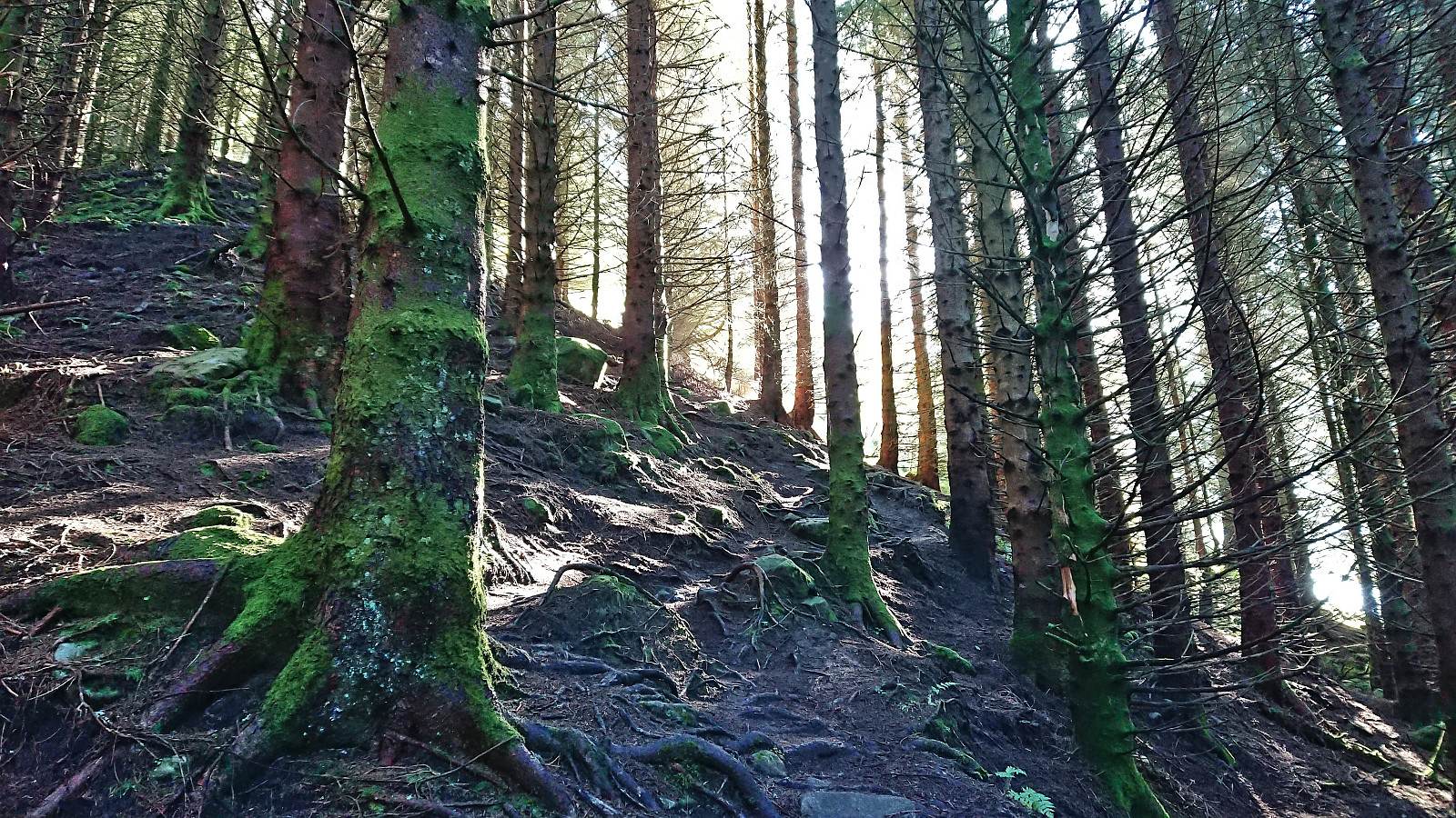
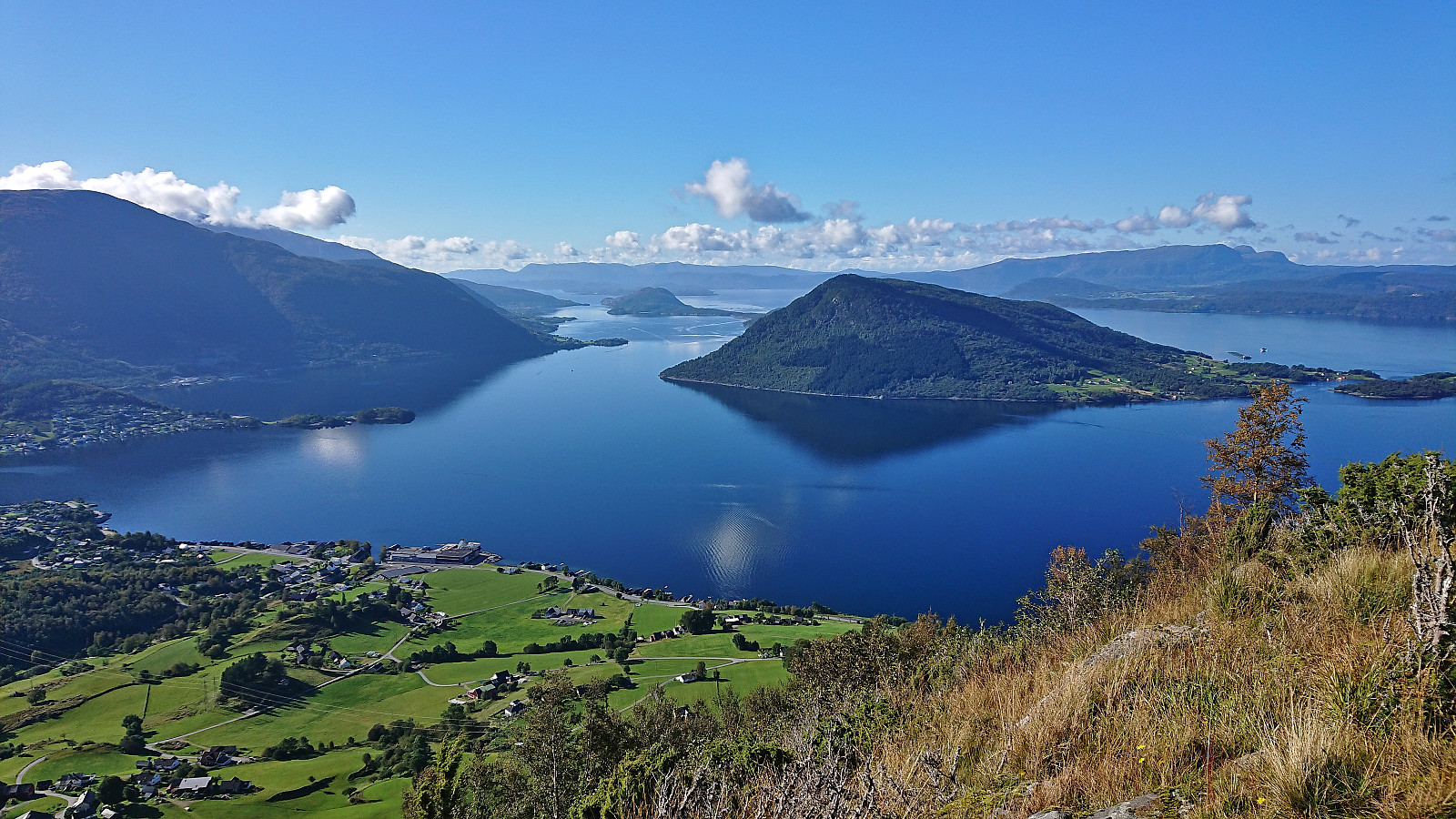
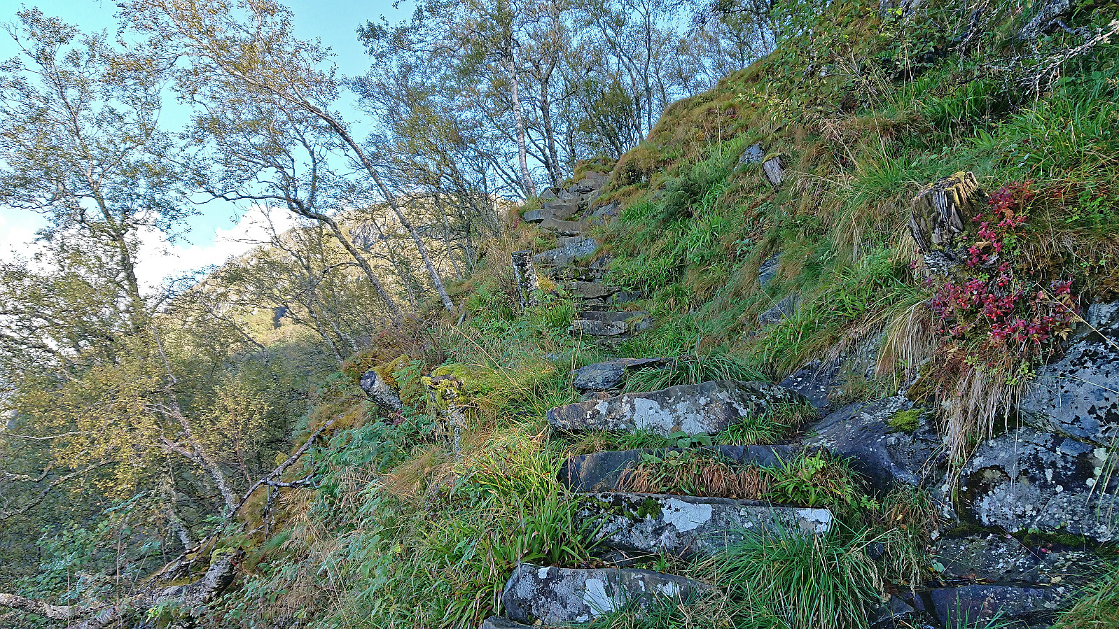
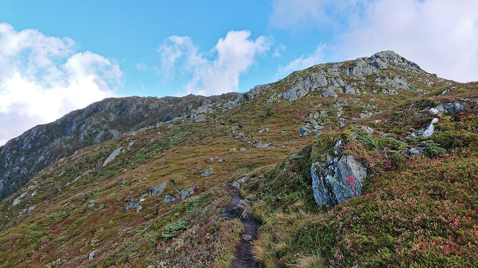
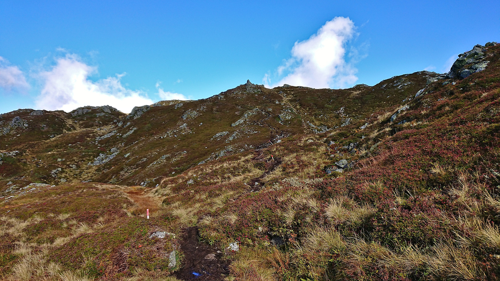
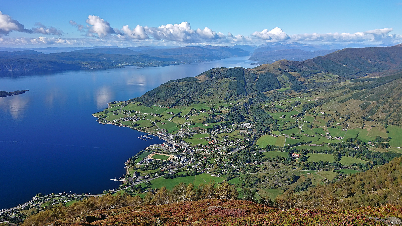
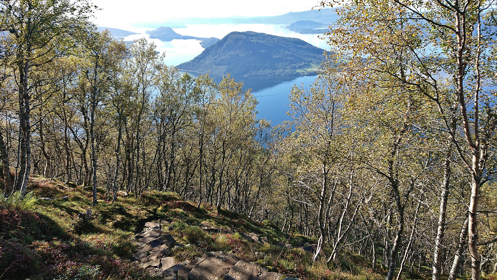
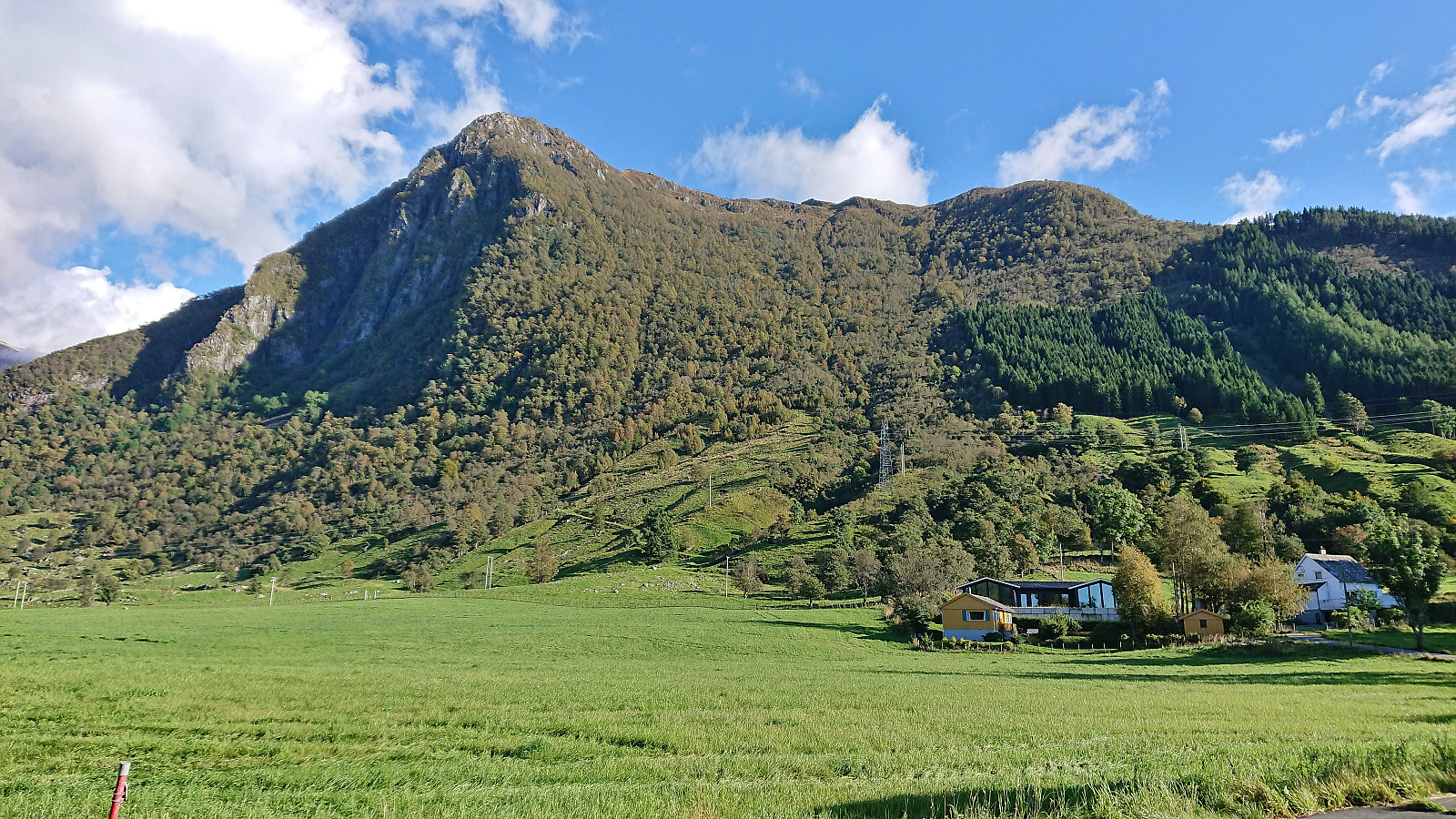
The two-hour boat trip from Bergen was very nice and provided excellent views along the way. Upon arriving at Rosendal, I immediately headed south to the marked trailhead for Malmangersnuten. After leaving the main road, this included a walk alongside an old stone fence and then a short stretch following a gravel road. The trail was initially climbing steeply inside a relatively dark forest, before the vegetation grew less dense and the views gradually started improving. For the last section up to Hjort, there also were lots of stone steps that made the final birch-covered ascent straightforward. At Hjort the terrain turned less steep and the trees were also left behind for good such that the spectacular views could be fully enjoyed.
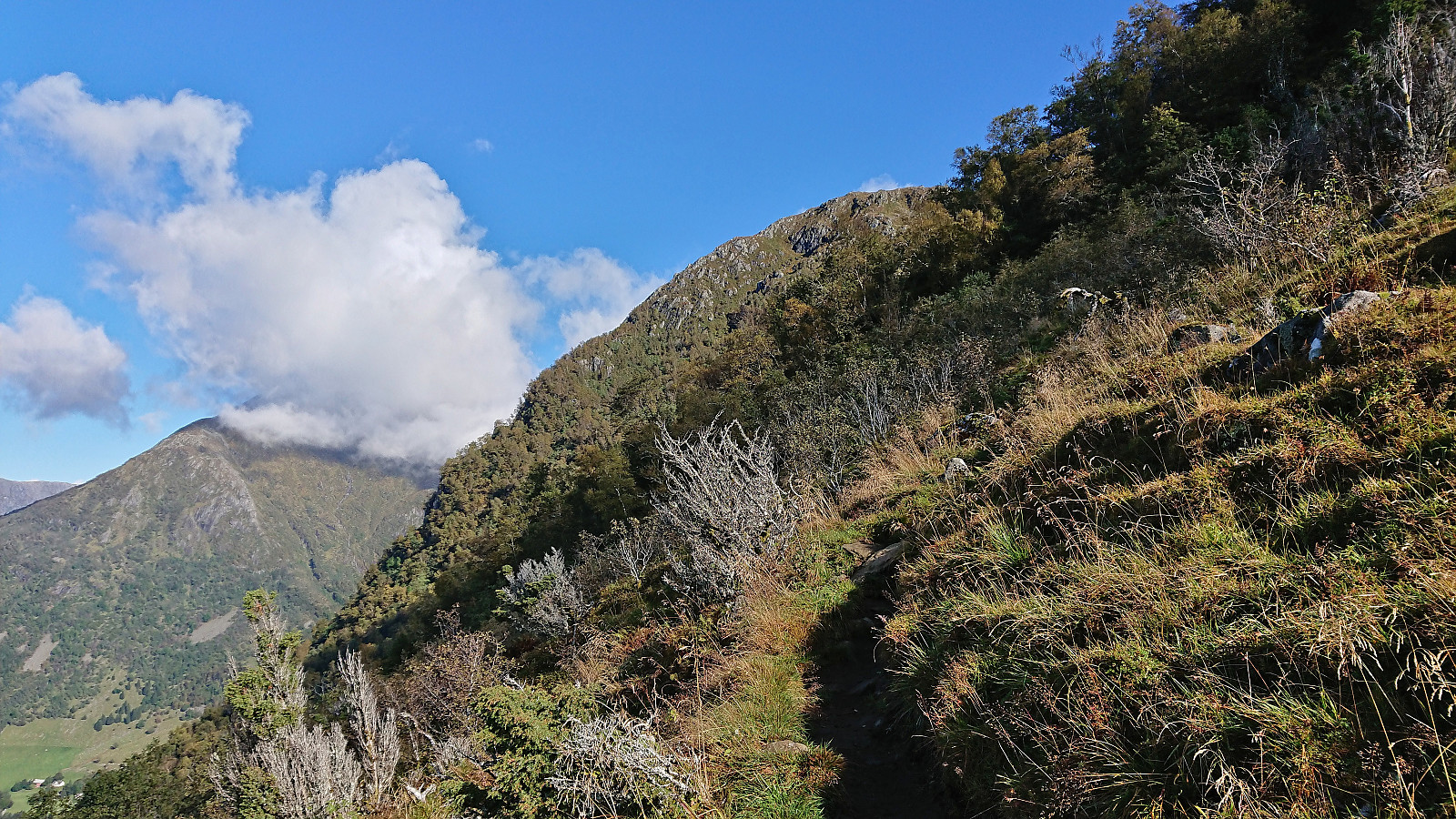
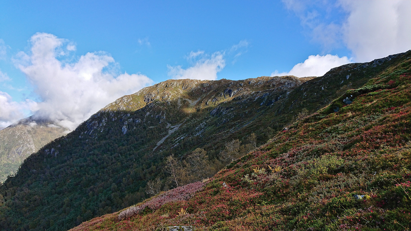
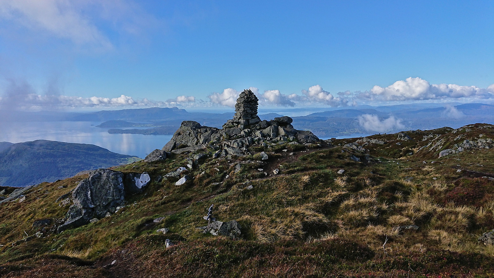
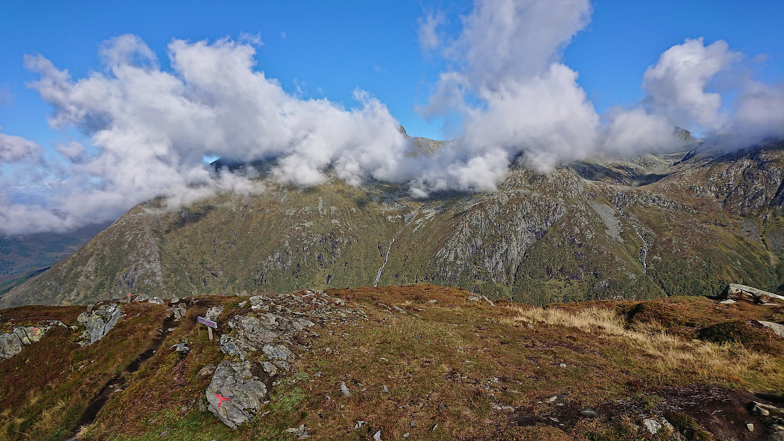
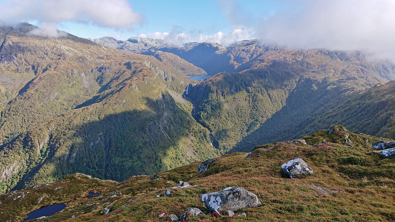
Just below the summit, the trail forked and I followed the route marked for Malmangersnuten. This took me over a minor hill south of the summit, before descending shortly into a small valley before the final ascent to the large cairn marking the highest point. It was now roughly 1.5 hours since I had left the boat and it was clear that I would have no problems catching the boat and could thus take the time to enjoy the views. Sadly, the taller mountains to the northeast were however largely hidden by clouds and the sun also shortly disappeared, but the views were still very good.
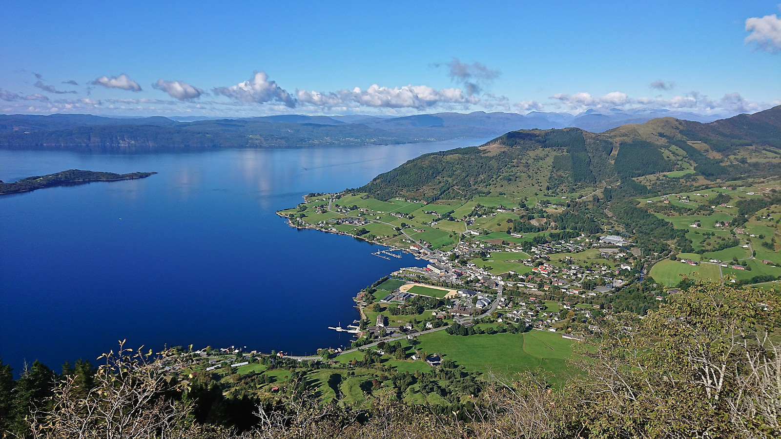
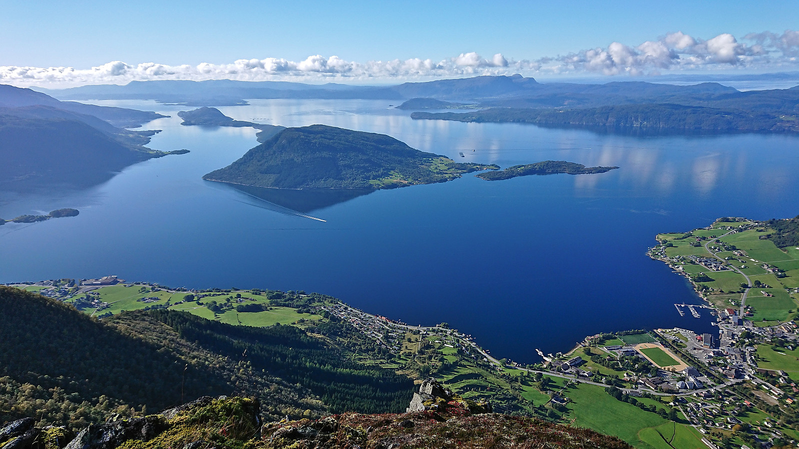
From the summit I continued north following an alternative marked trail that later reconnected with my ascent route before reaching Hjort. The sun had now reappeared and I could enjoy the excellent views down towards Rosendal. Given that I was now slightly ahead of the planned schedule, I even took the time for a short lunch break at Hjort before completing the descent, making it to the boat about 15 minutes before its departure time.
In conclusion, an excellent hike with spectacular views that can very highly recommended! It should however be noted that if relying on the boat like I did, you have to be confident that you are can make it back in time, as the next boat is not until the next morning.
| Startzeitpunkt | 24.09.2022 13:01 (UTC+01:00 SZ) |
| Endzeitpunkt | 24.09.2022 16:21 (UTC+01:00 SZ) |
| Gesamtzeit | 3h 19min |
| Zeit in Bewegung | 3h 07min |
| Pausenzeit | 0h 12min |
| Gesamtschnitt | 2,9km/h |
| Bewegungsschnitt | 3,1km/h |
| Entfernung | 9,6km |
| Höhenmeter | 945m |


Benutzerkommentare