
Gåsafjellet from Vedvikevatnet (28.07.2022)

Geschrieben von hbar (Harald Barsnes)

| Startpunkt | Vedvikevatnet (30m) |
|---|---|
| Endpunkt | Vedvikevatnet (30m) |
| Tourcharakter | Bergtour |
| Tourlänge | 1h 11min |
| Entfernung | 3,9km |
| Höhenmeter | 188m |
| GPS |
|
| Besteigungen | Gåsafjellet (132m) | 28.07.2022 |
|---|
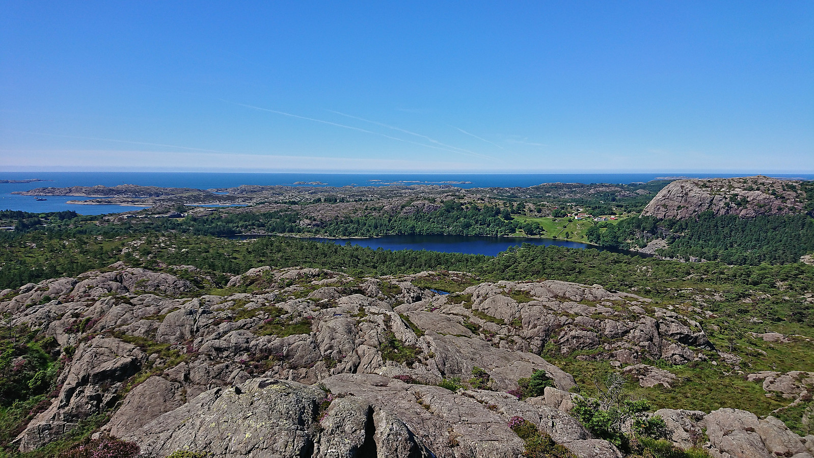
Gåsafjellet from Vedvikevatnet
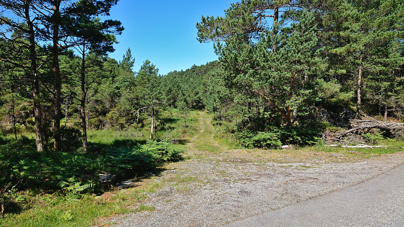
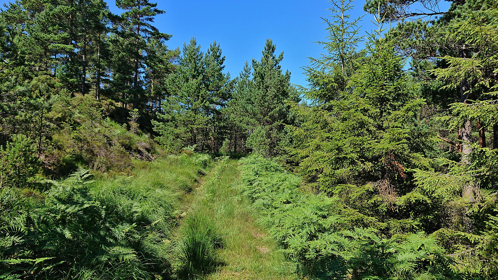
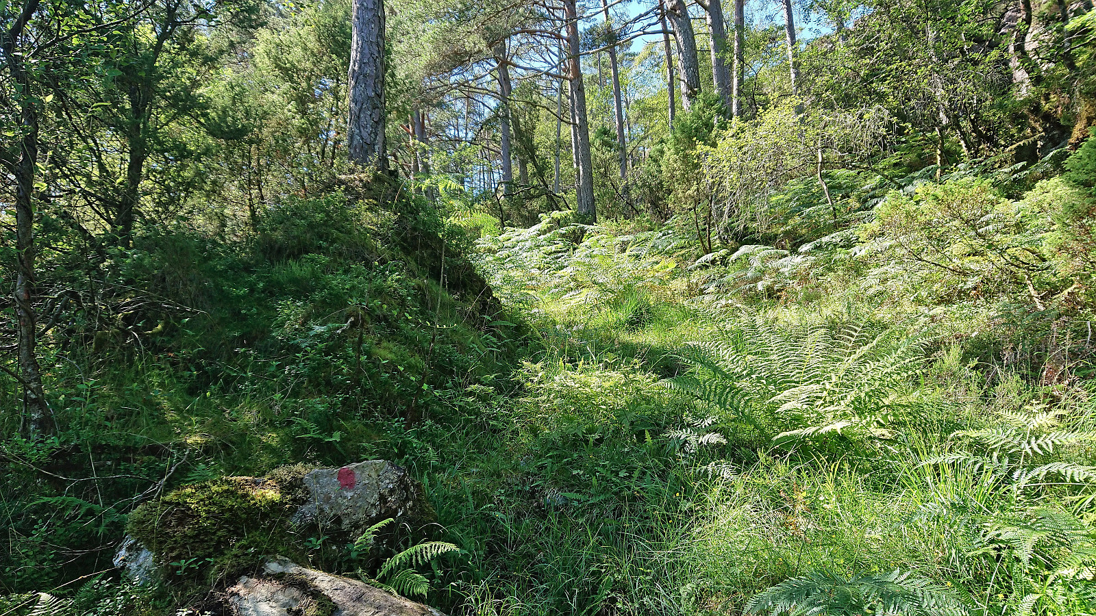
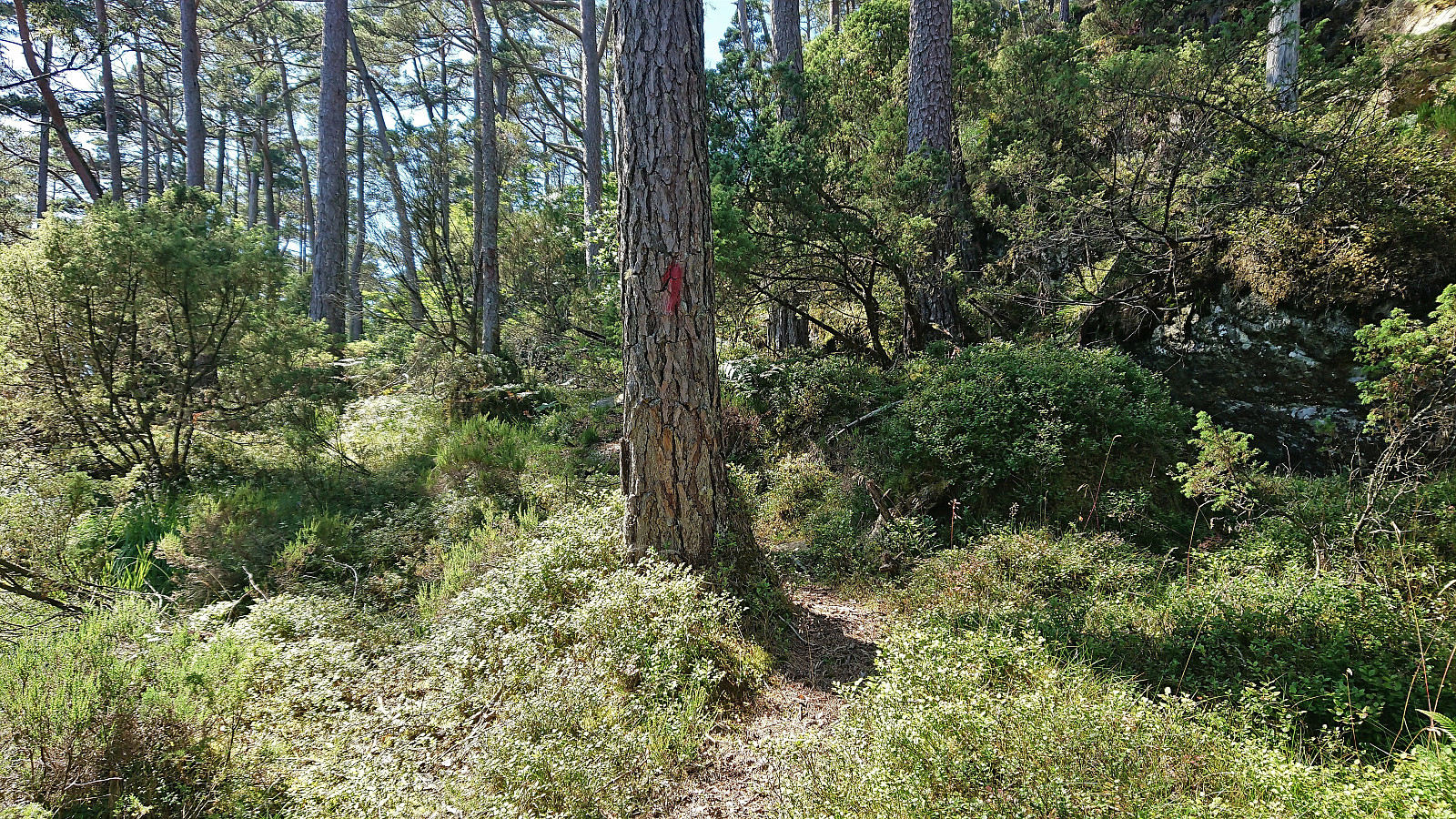
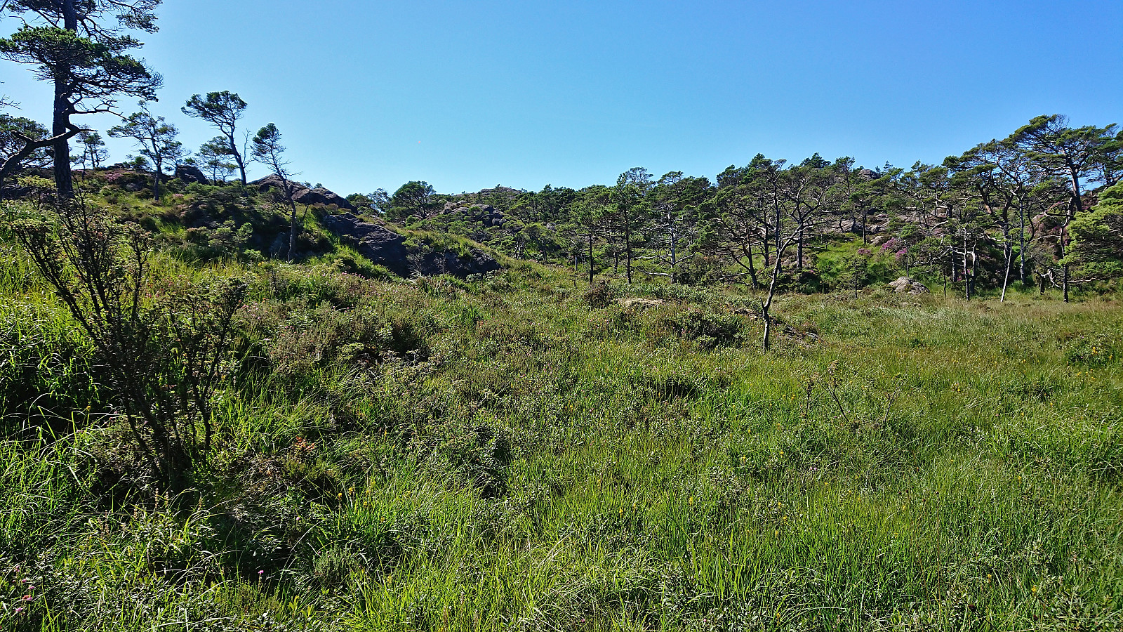
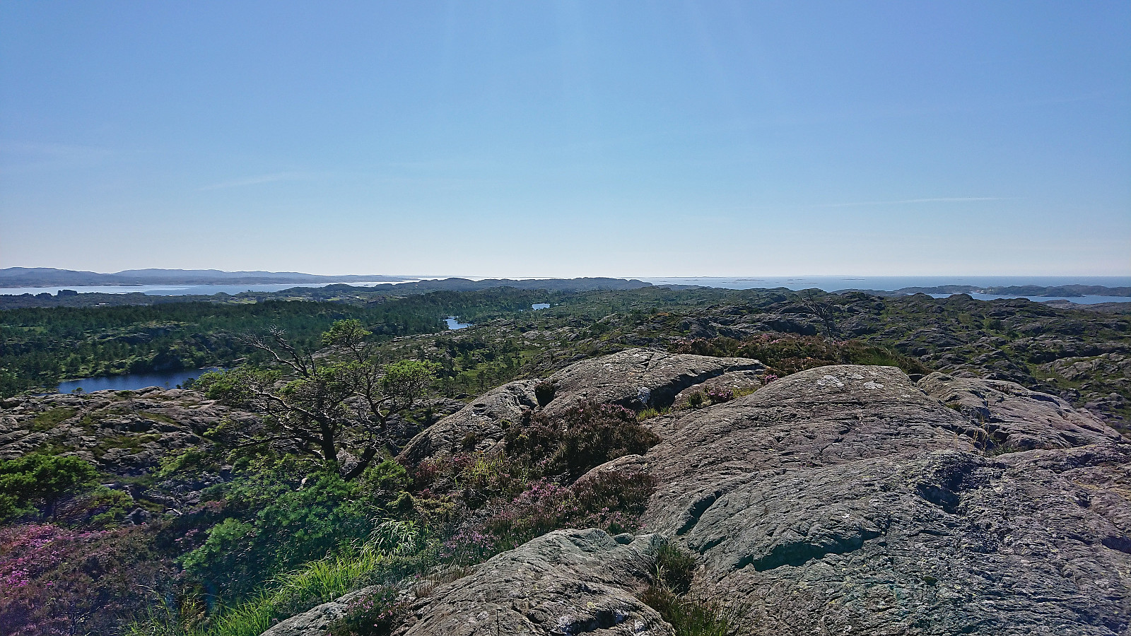
After leaving the bike behind at the unmarked trailhead for Gåsafjellet, I continued on foot along a grass-covered tractor road taking me to northwest of Sætradalstjørna. While there had been a couple of red markers on trees next to the tractor road, the trail here first seemed to come to an end. But after a bit of searching I spotted one more red marker to the southwest and soon another would appear as well. There was even a relatively clear trail that could be followed. This would however not last long, and soon I was left finding my own way towards the summit.
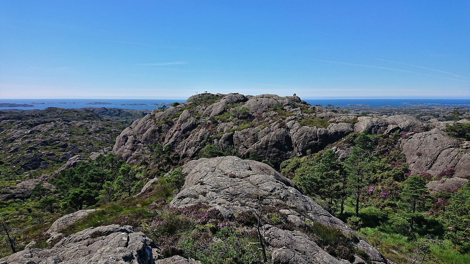
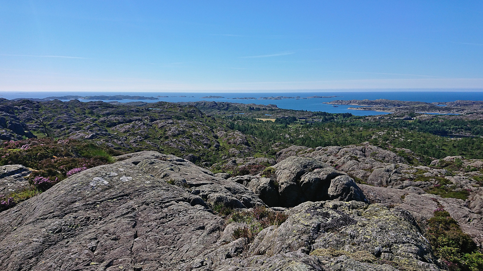
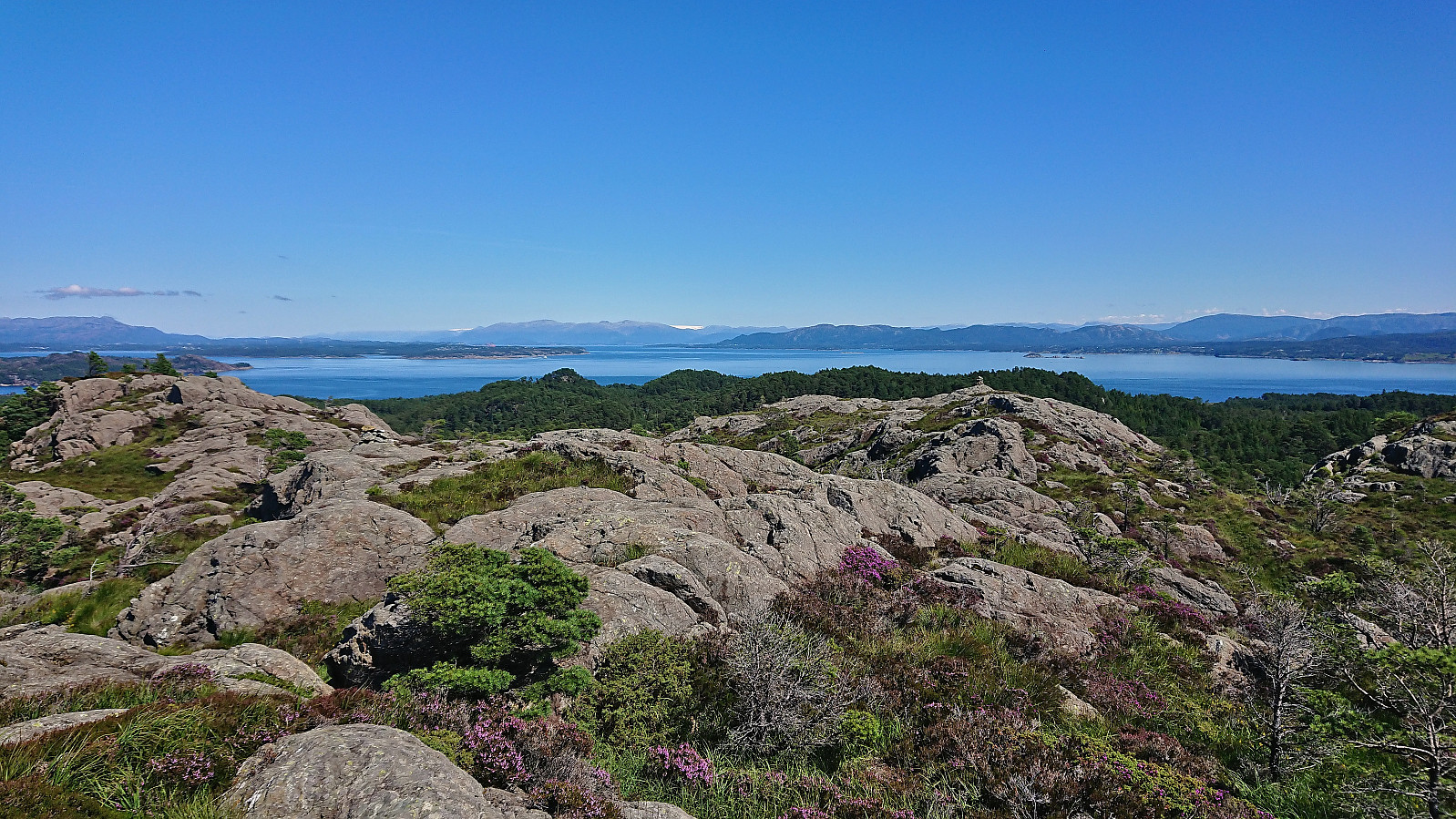
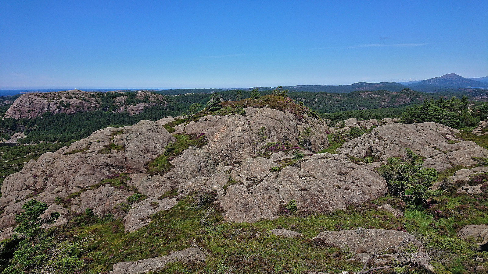
Plenty of small hills at the summit area, some of them with their own small cairns, but the highest one was easy to spot. Or at least I thought so until standing on top of it and starting to wonder if the one just to the north could potentially be slightly higher? It is not, as later checks would confirm, but as I did not know this at the time, I played it safe and visited both before returning along more or less the same route, perhaps being slightly more lucky with managing to follow the trail/track back down to Sætradalstjørna.
| Startzeitpunkt | 28.07.2022 13:16 (UTC+01:00 SZ) |
| Endzeitpunkt | 28.07.2022 14:27 (UTC+01:00 SZ) |
| Gesamtzeit | 1h 11min |
| Zeit in Bewegung | 1h 05min |
| Pausenzeit | 0h 6min |
| Gesamtschnitt | 3,3km/h |
| Bewegungsschnitt | 3,6km/h |
| Entfernung | 3,9km |
| Höhenmeter | 188m |


Benutzerkommentare