
Hornafjellet and Nipekråni (22.07.2022)

Skrevet av hbar (Harald Barsnes)

| Startsted | Modalstunnelen p-plass (29moh) |
|---|---|
| Sluttsted | Modalstunnelen p-plass (29moh) |
| Turtype | Fjelltur |
| Turlengde | 6t 57min |
| Distanse | 15,8km |
| Høydemeter | 1369m |
| GPS |
|
| Bestigninger | Hornafjellet (936moh) | 22.07.2022 |
|---|---|---|
| Nipekråni (794moh) | 22.07.2022 | |
| Andre besøkte PBE'er | Modalstunnelen p-plass (29moh) | 22.07.2022 |
| Mostølen (488moh) | 22.07.2022 |
Hornafjellet and Nipekråni

Another day of hiking with Petter, this time using Mo as our starting point. We had initially thought to first ascend to Mostølen via the trail from Mo. But after coming across a recommendation by Nordhordland Turlag to rather use the marked trail starting from the northern end of Modalstunnelen, and describing the trail from Mo as steep and unstable, we changed our plans and went for this alternative route instead.
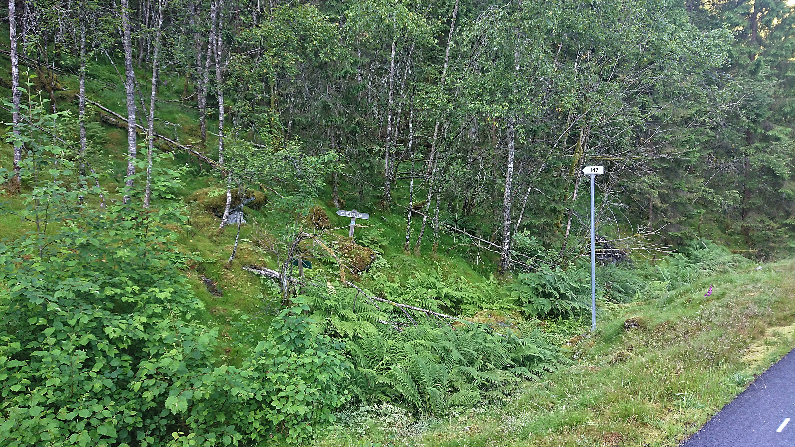
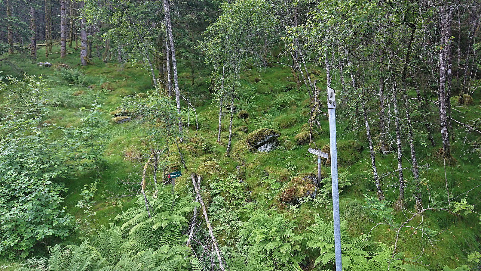
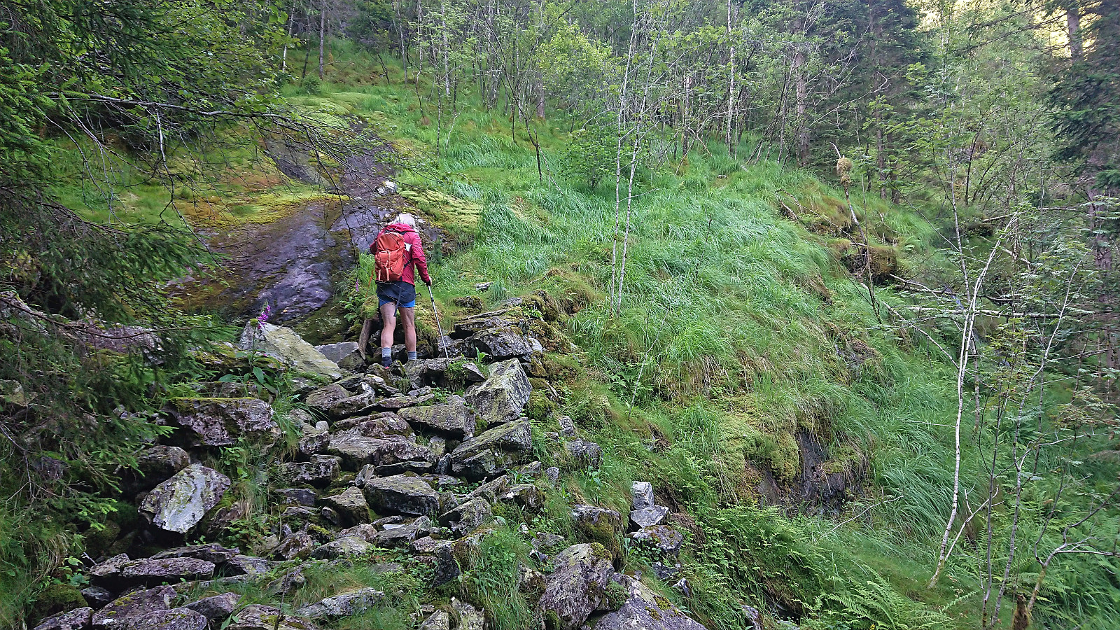
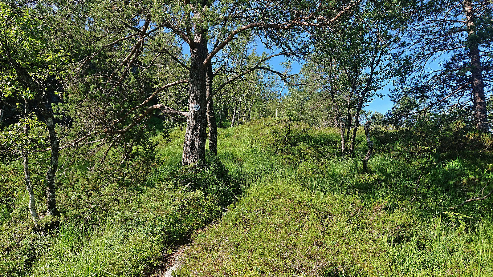
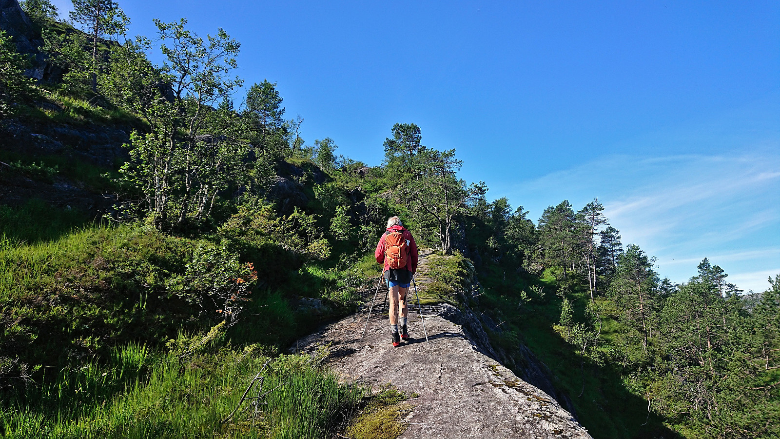
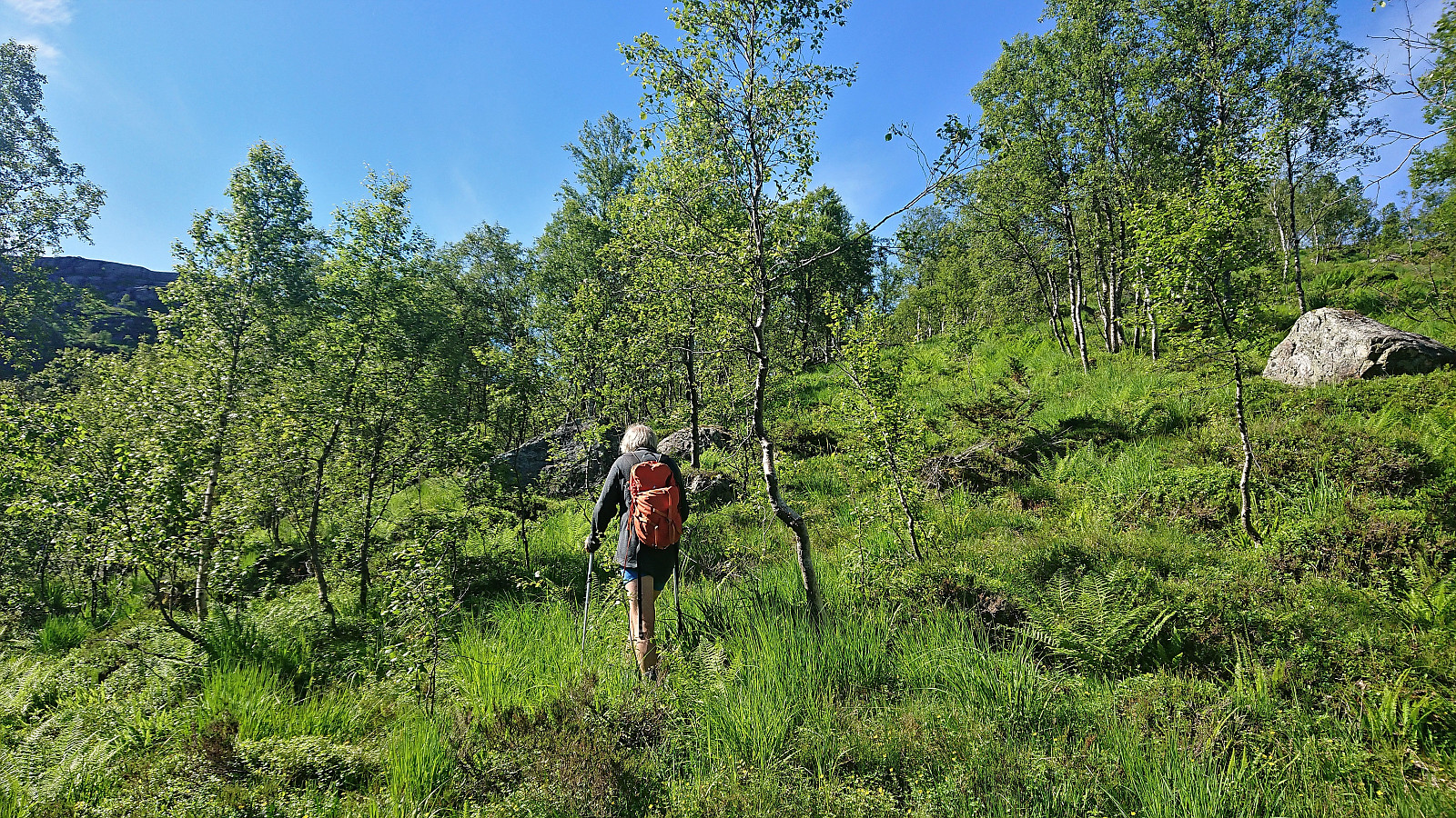
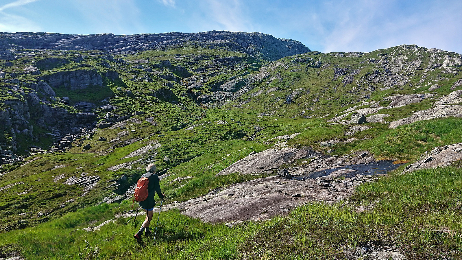
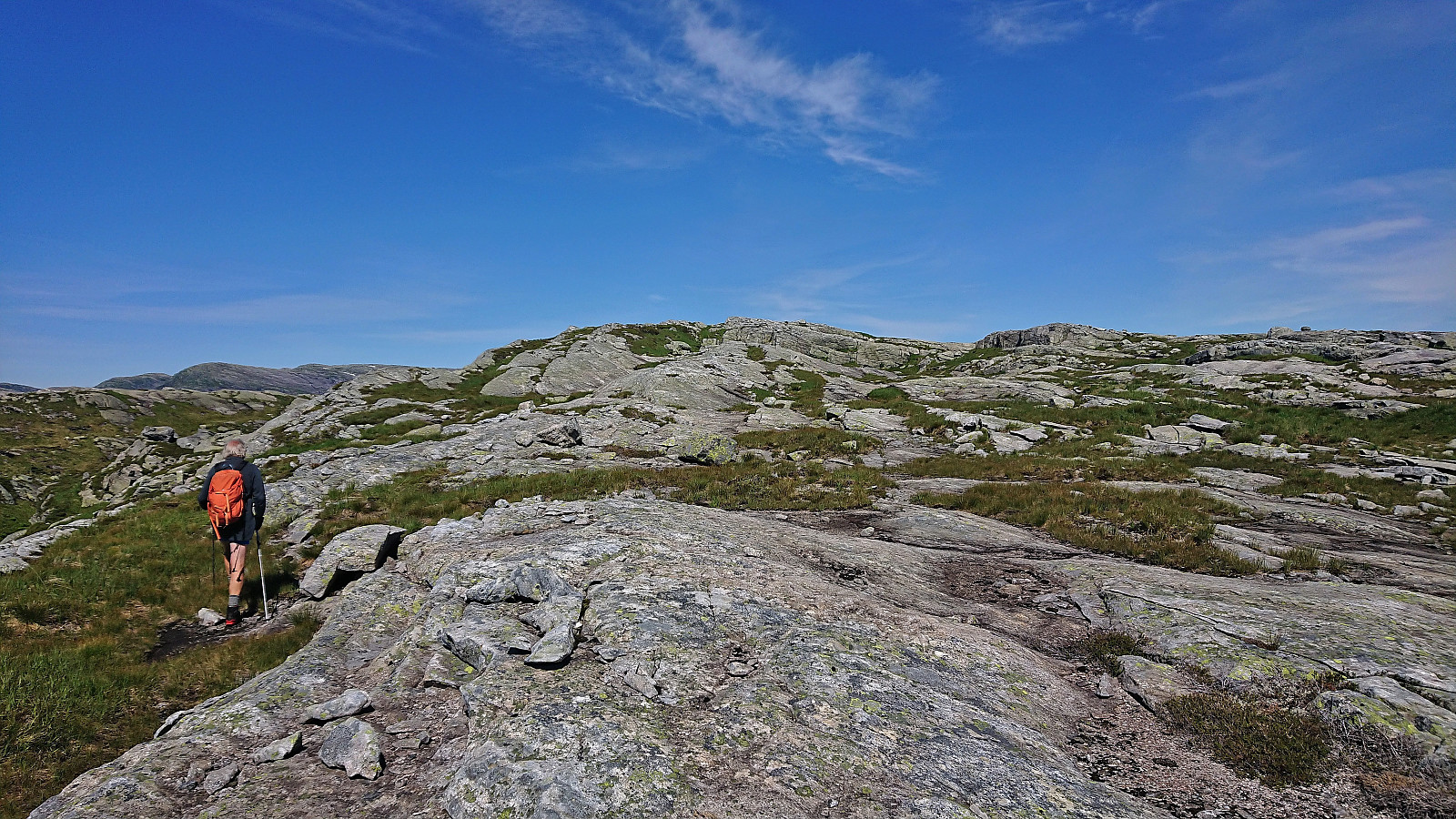
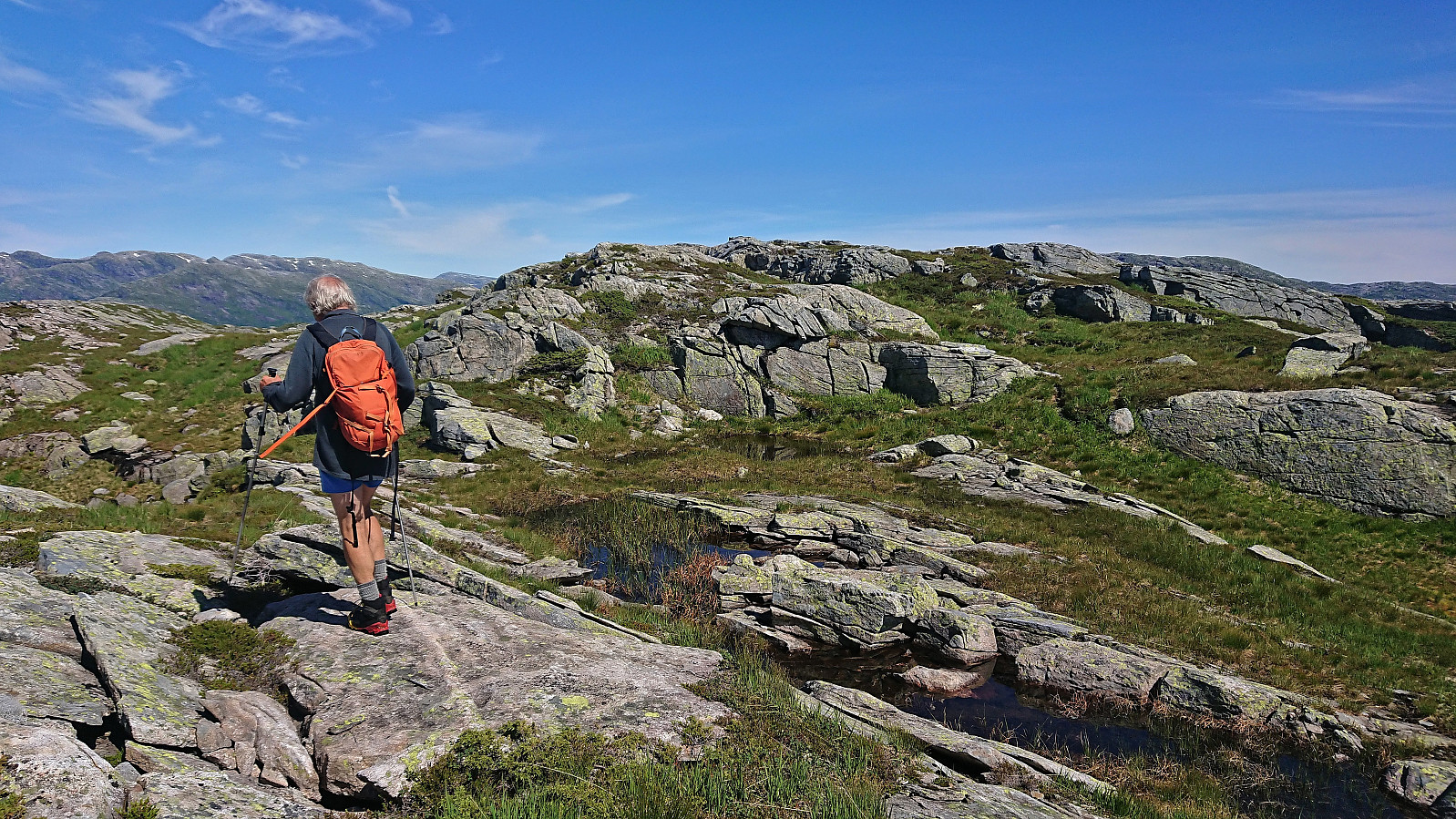
We parked just outside the tunnel and easily located the marked trailhead about 150 meters to the northwest. While the trailhead was indicated by a total of three different signs, the start of the trail itself was however much more modest. This would nevertheless soon improve as the trail started winding its way up the steep ascent between the trees. Further up the trail again turned weak at times, especially when crossing wet areas, but there were most often clearly visible blue trail markers indicating the way.
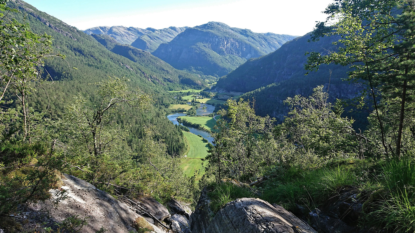
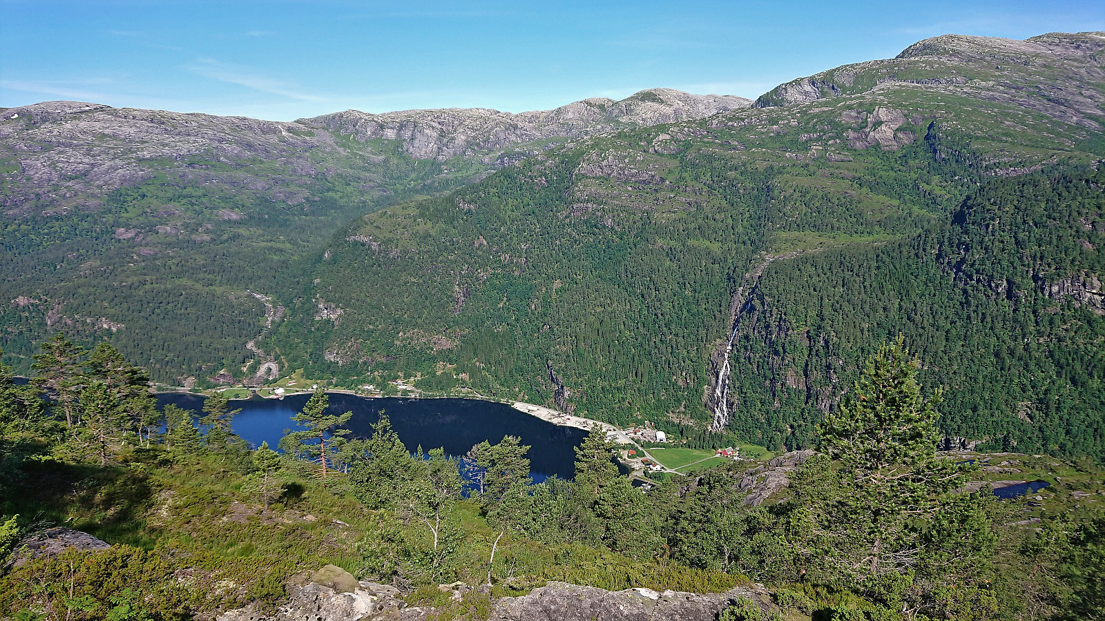
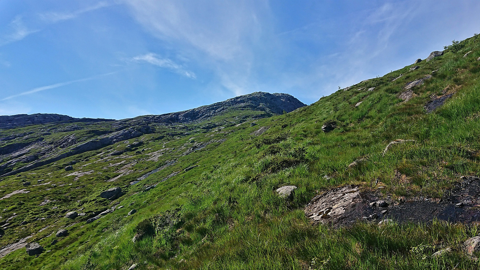
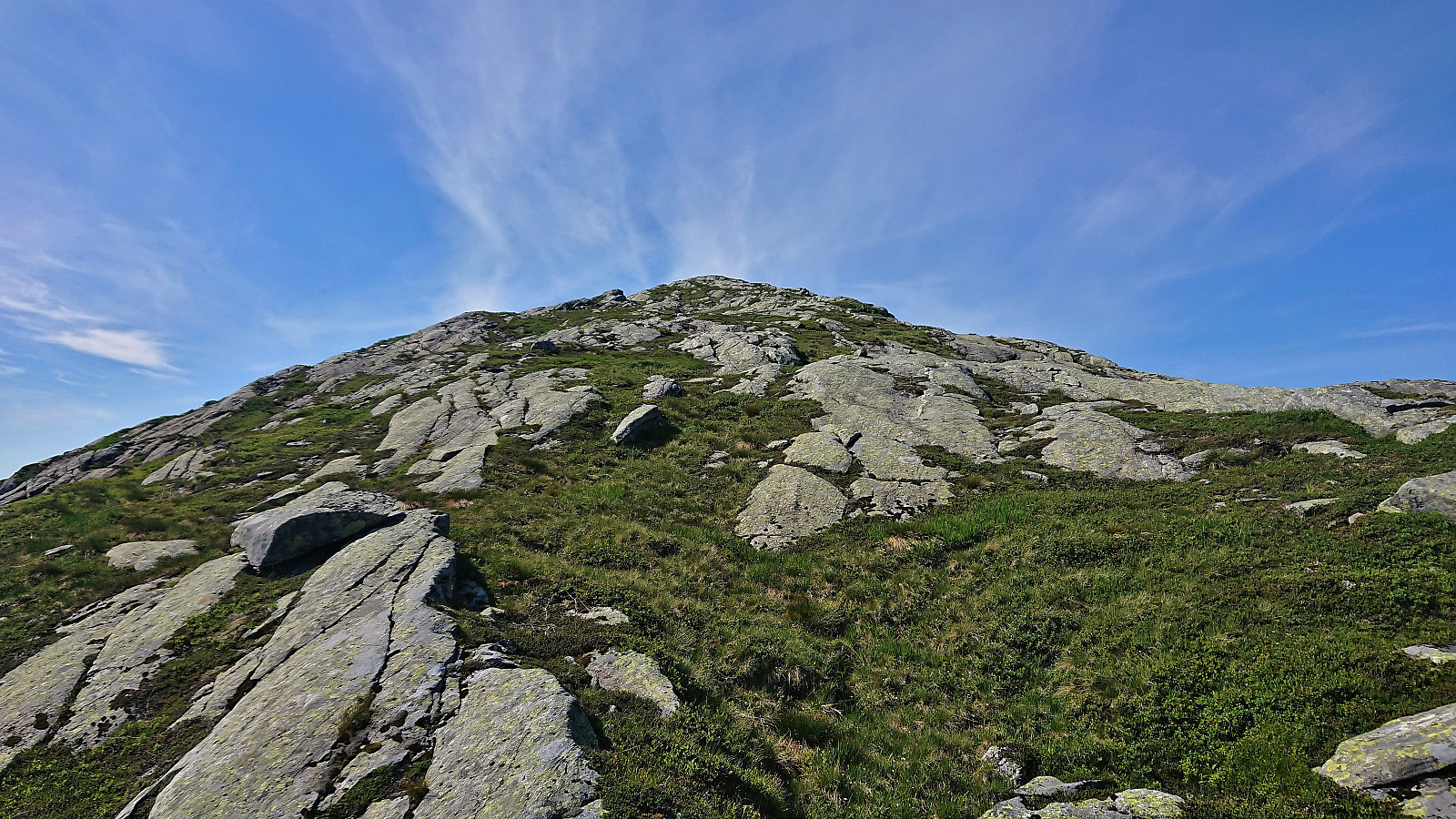
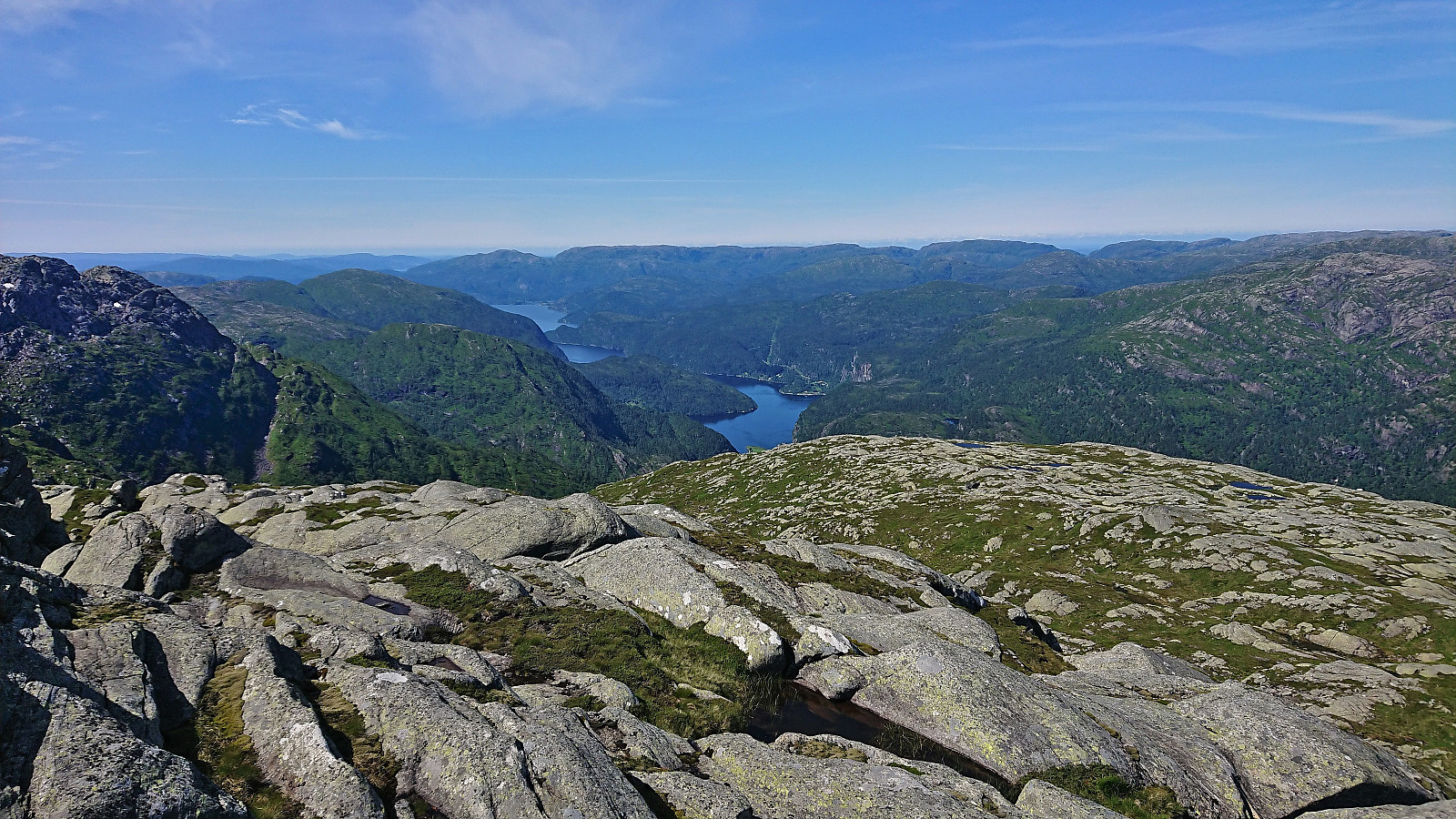
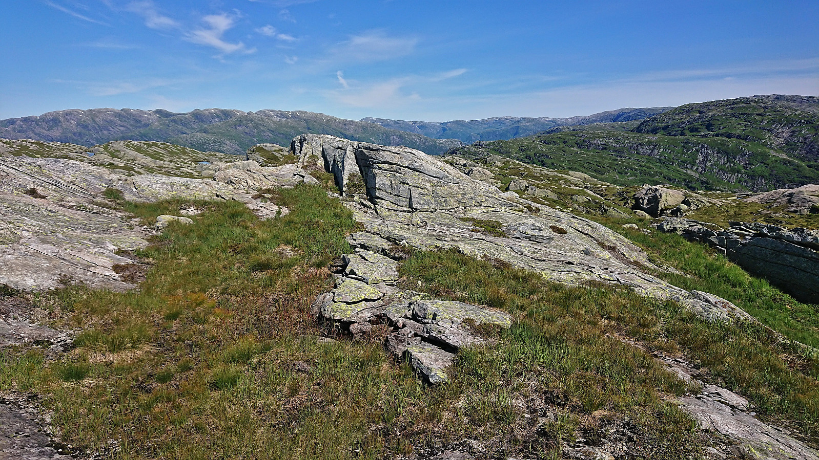
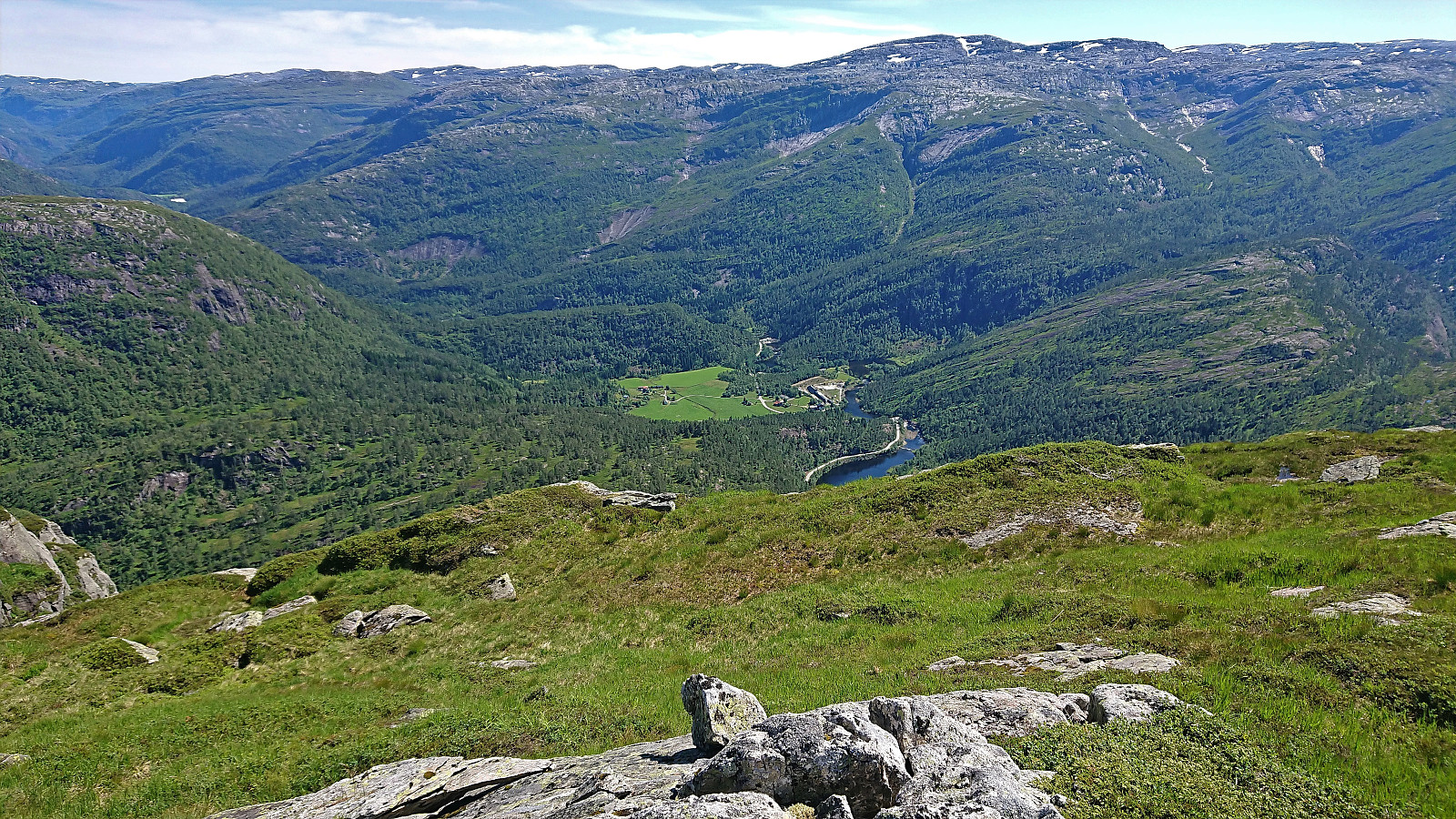
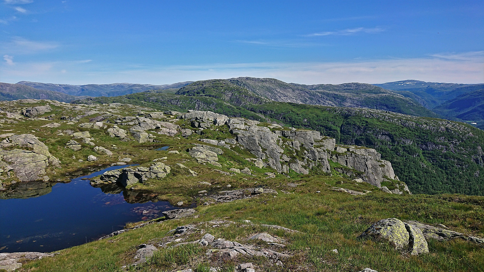
As we ascended the views gradually improved and soon we could look both back towards Helland and down to the fjord just outside Mo. As the trail rounded Økjafjellet on the west, we also got the first glimpses of our first target, namely Hornafjellet. But first we had to descend to the beautiful location of Mostølen, from where we simply headed off-trail in the direction of the summit. In the end the summit was reached without any real challenges and provided excellent panoramic views.
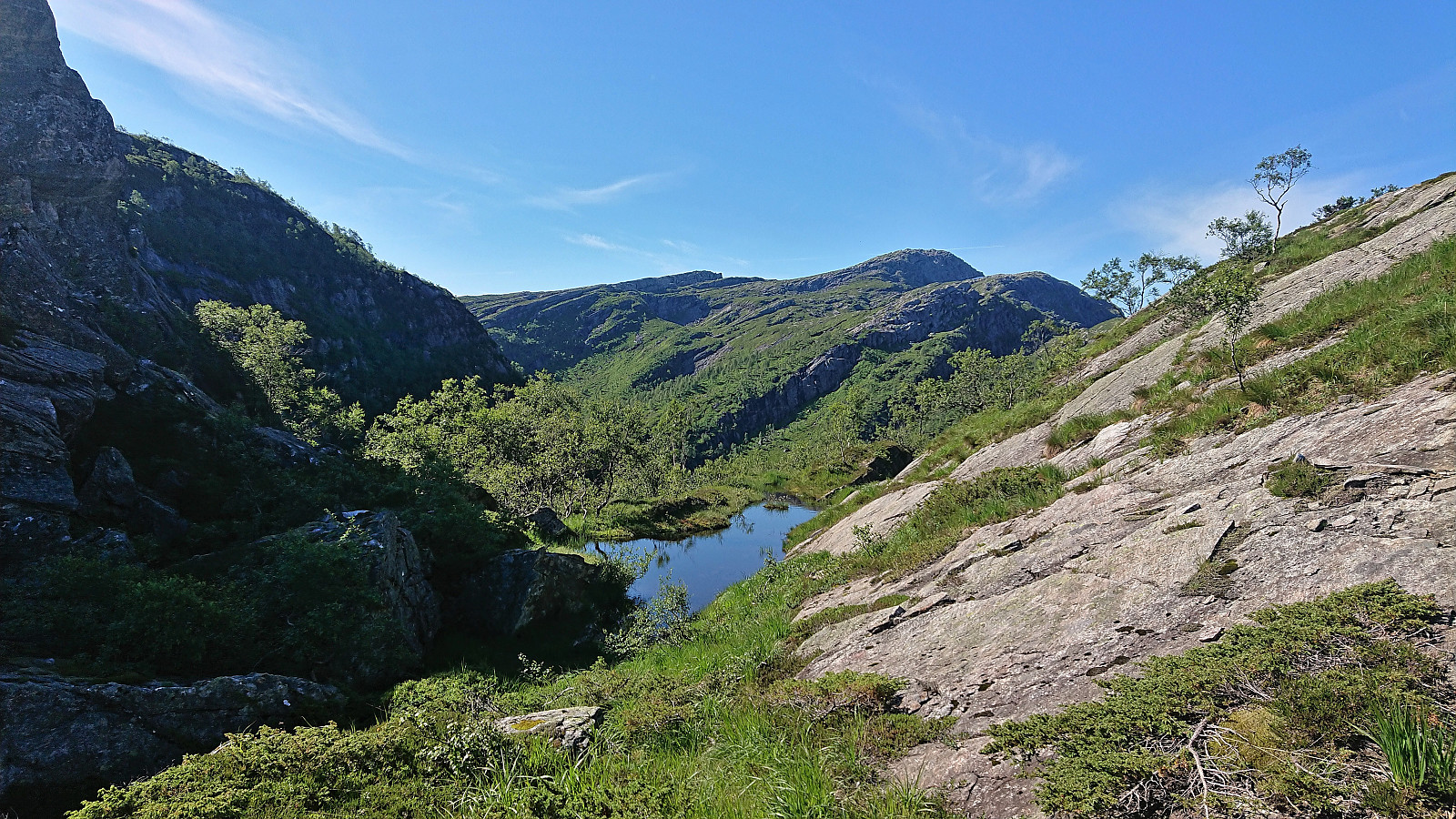
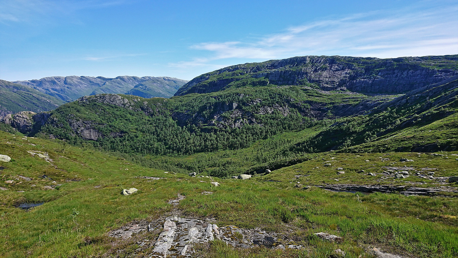
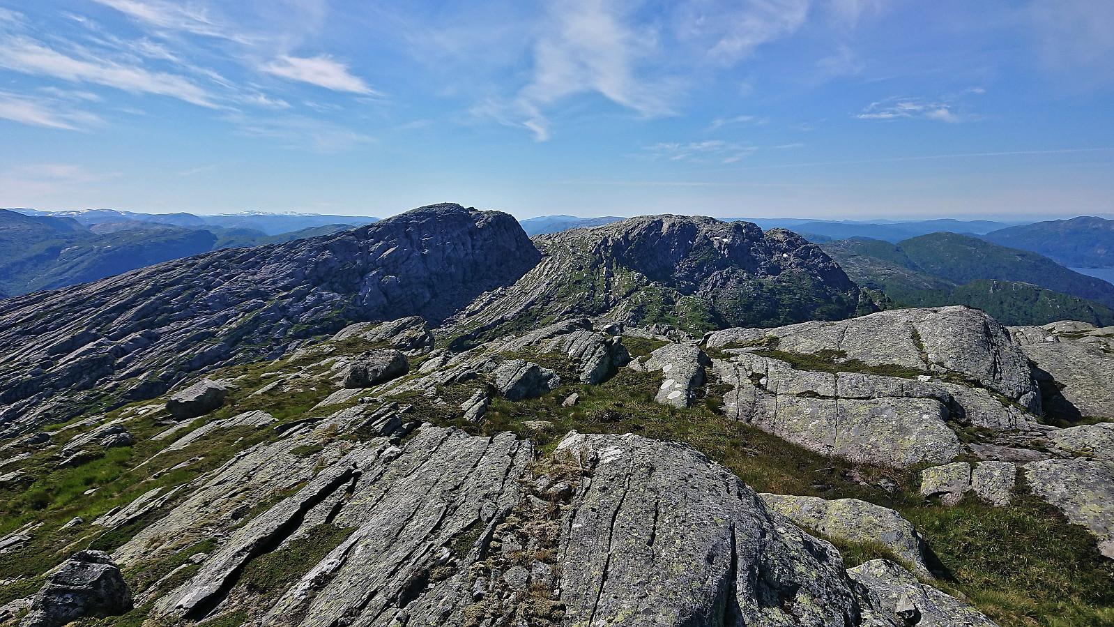
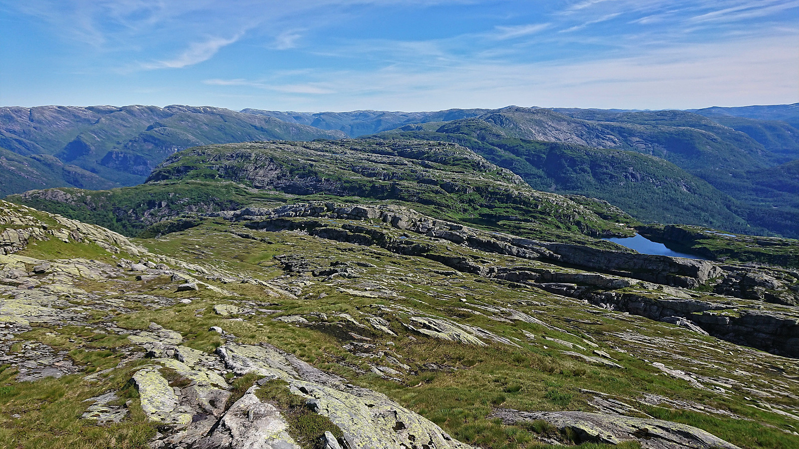
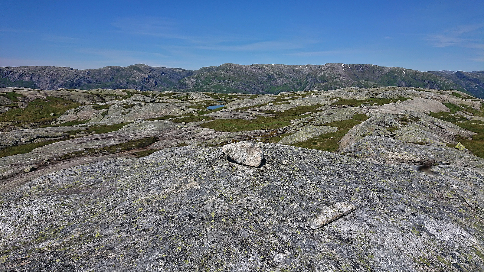
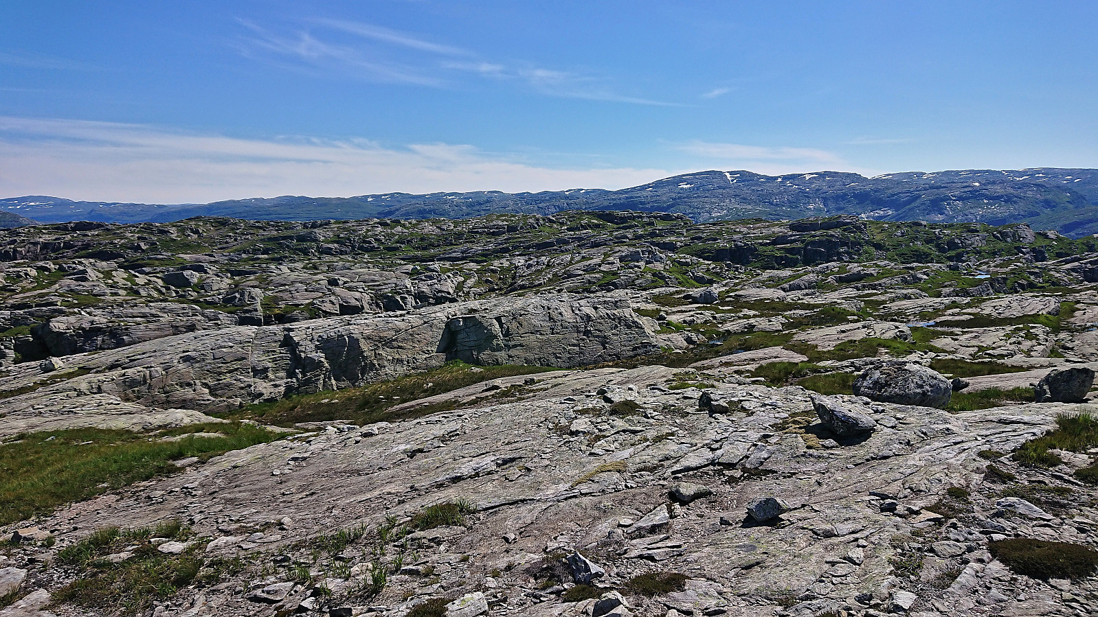
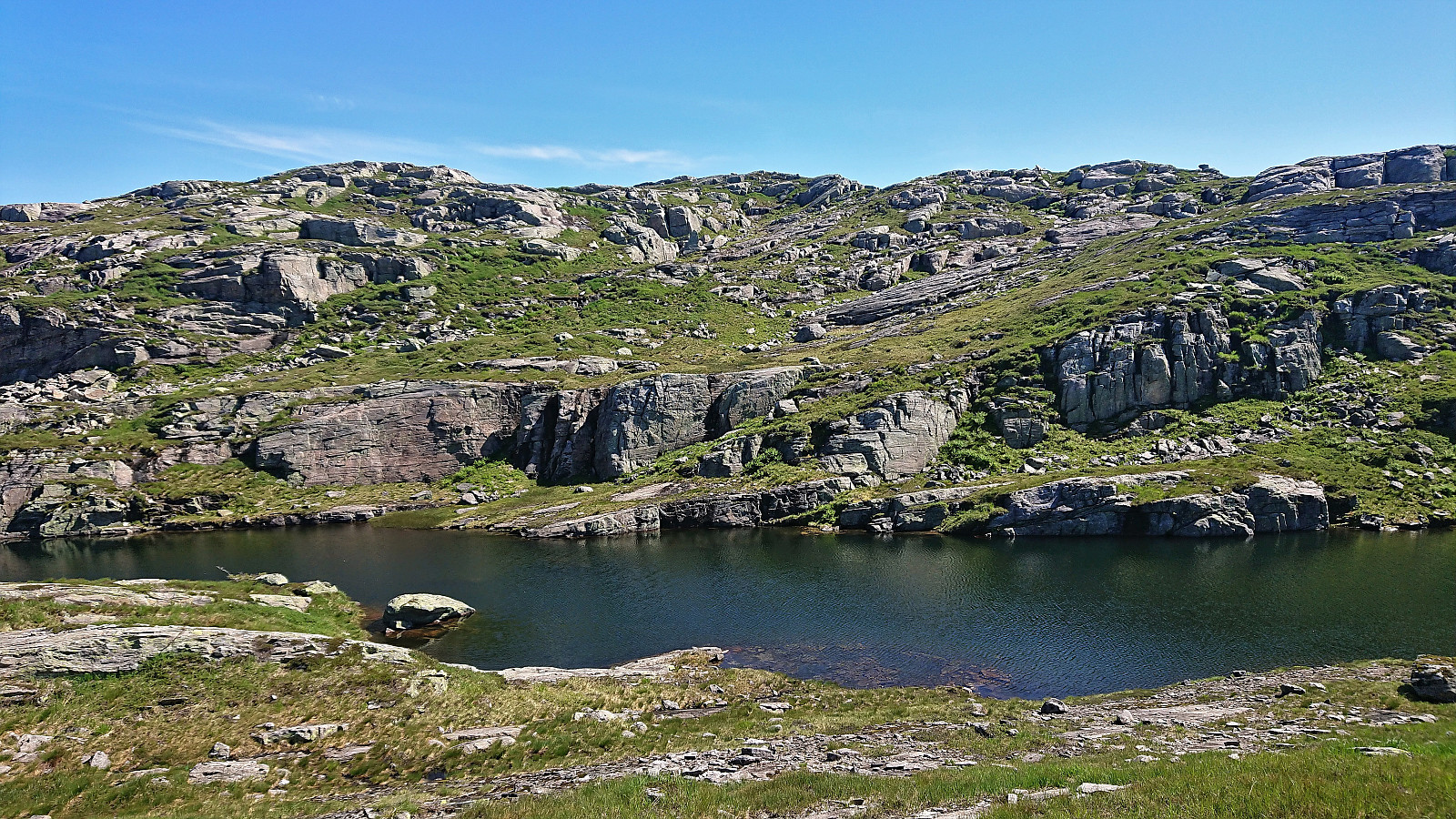
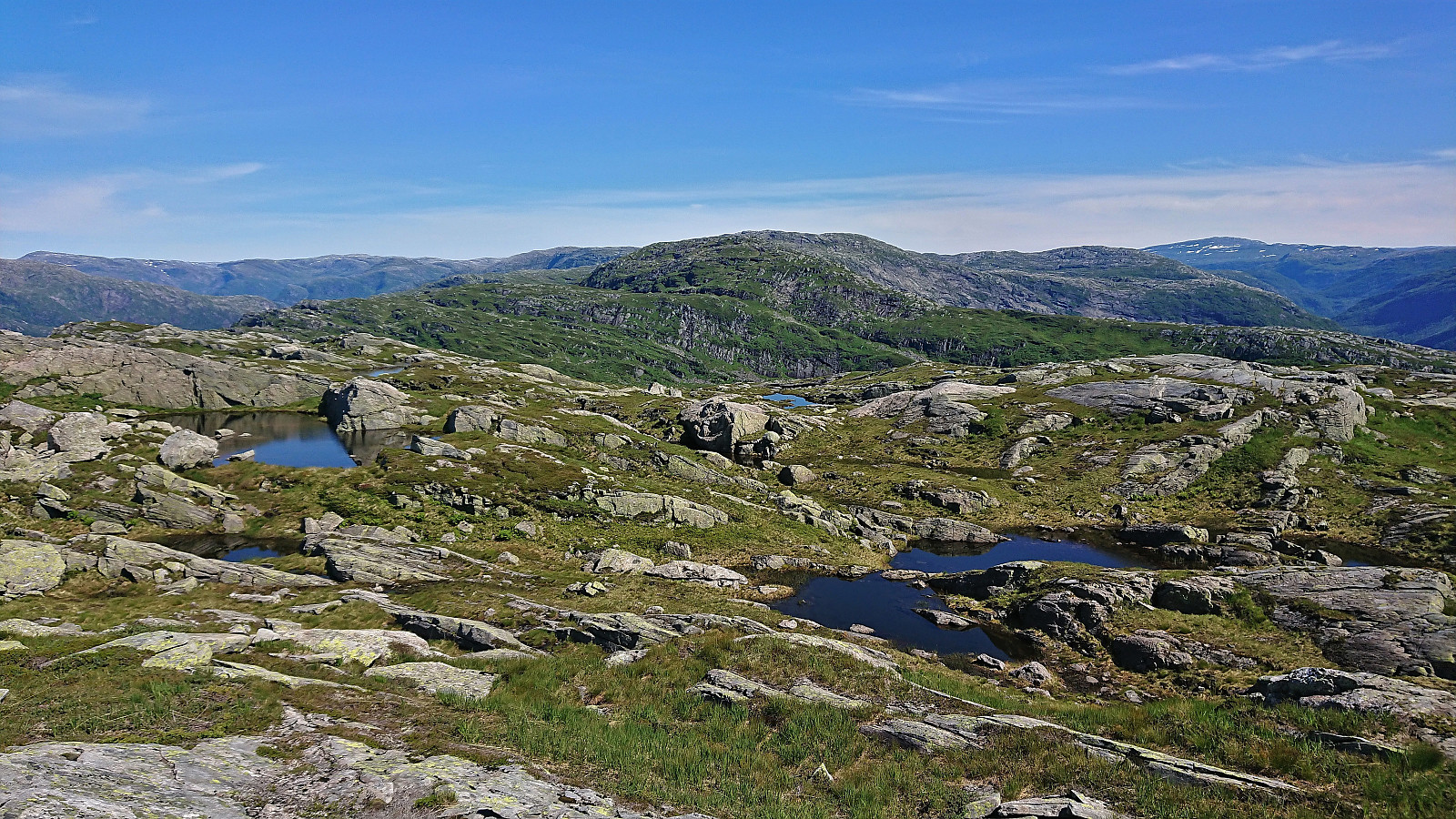
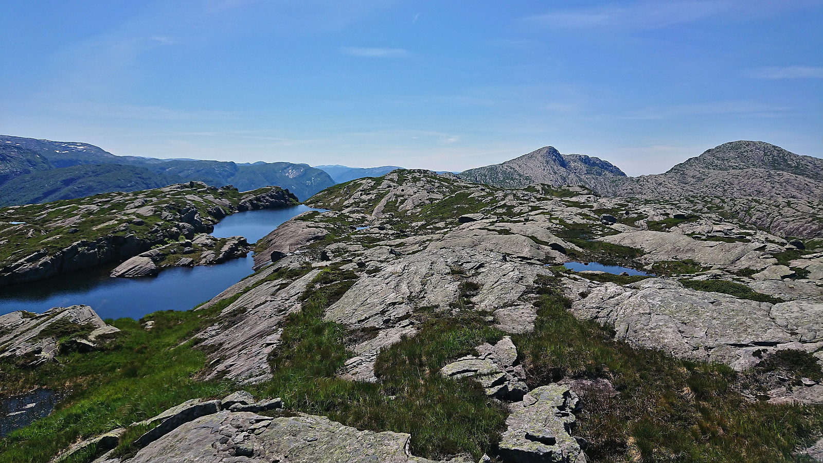
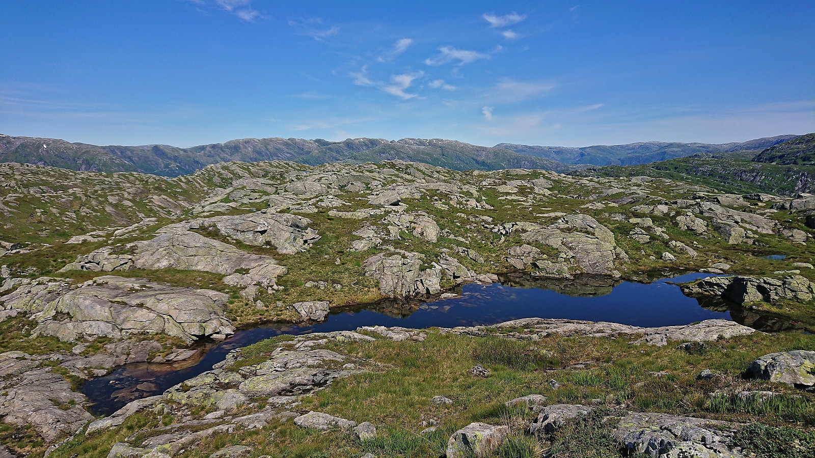
After a short break enjoying the views, we descended northeast towards our next goal of Nipekråni. Besides a couple of short cliff bands that had to be traversed, this was overall straightforward and also provided us with the perfect overview of the west face of Nipekråni to plan our ascent route. Most of the area was filled with short steep cliff bands going north-south, mixed with small lakes laid out in the same direction. Hence finding a good route was essential to not get stuck and avoid detours.
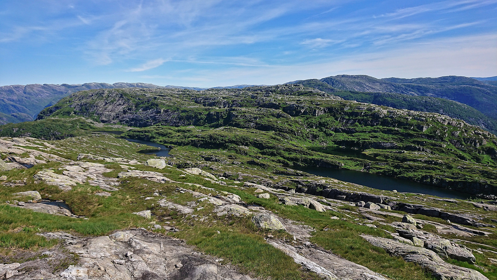
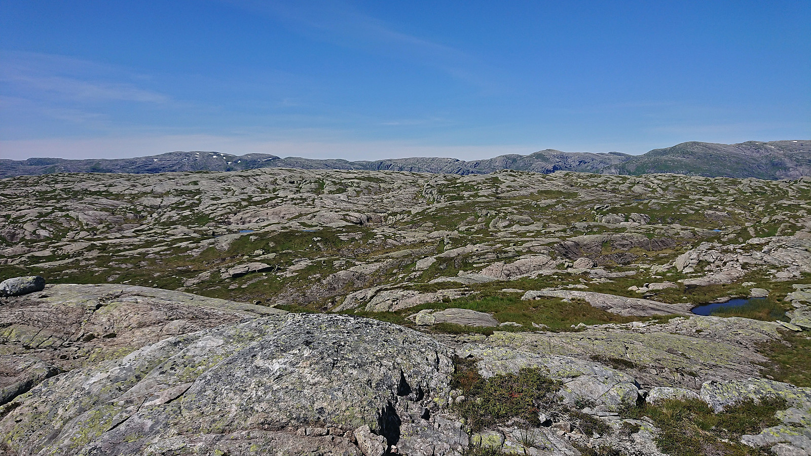
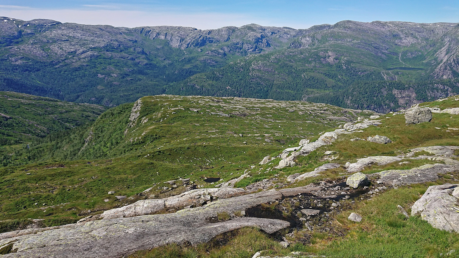
We first rounded north of Hornafjellsvatnet and with a bit of light scrambling made our way to the small lake just north of Hornafjellsvatnet. Here we came across a trail/animal track that took us up to the next level where we headed north along yet another small lake. From there it was overall straightforward to reach Smylmbotnane, a minor summit that the map indicated as only slightly lower than the summit of Nipekråni.
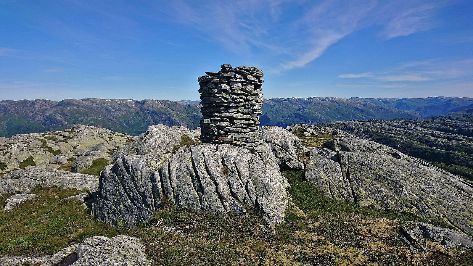
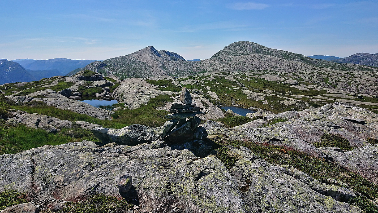
From Smylmbotnane we turned southeast towards where Nipekråni was indicated on the map. Again the terrain was not always on our side, but we managed to find a route that did not require too many detours. Upon arriving at the point marked with 794 on the map, we quickly started wondering whether the hill less than 350 meters to the southwest was not in fact higher? This alternative summit of course then also had to be visited. When getting there we concluded that it was ever so slightly higher, which was later confirmed via hoydedata.no. A small cairn was therefore built (and the PB-element moved).
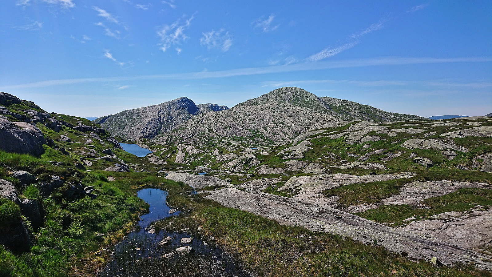
Satisfied that we had now visited the highest point at Nipekråni, it was finally time to start our descent. We first returned almost to Smylmbotnane and from there headed west towards Økjafjellet. Getting down to the valley between Smylmbotnane and Økjafjellet required a bit of careful pathfinding, but turned out to be relatively straightforward. From there we continued north parallel to the trail used for the ascent, as there where two cliff bands in between us and the trail, and later reconnected with the trail and followed it back to the main road.
In summary, an excellent hike in very interesting and enjoyable terrain with great views along the way! Takker igjen for turen Petter!


| Starttidspunkt | 22.07.2022 09:19 (UTC+01:00 ST) |
| Sluttidspunkt | 22.07.2022 16:17 (UTC+01:00 ST) |
| Totaltid | 6t 57min |
| Bevegelsestid | 6t 23min |
| Pausetid | 0t 34min |
| Snittfart totalt | 2,3km/t |
| Snittfart bevegelsestid | 2,5km/t |
| Distanse | 15,8km |
| Høydemeter | 1368m |


Kommentarer