
Høganipa and Skavlabu (21.07.2022)

Geschrieben von hbar (Harald Barsnes)

| Startpunkt | Svartavatnet parkering (788m) |
|---|---|
| Endpunkt | Svartavatnet parkering (788m) |
| Tourcharakter | Bergtour |
| Tourlänge | 2h 10min |
| Entfernung | 8,0km |
| Höhenmeter | 420m |
| GPS |
|
| Besteigungen | Høganipa (1.040m) | 21.07.2022 |
|---|---|---|
| Besuche anderer PBE | Skavlabu (963m) | 21.07.2022 |
| Svartavatnet parkering (786m) | 21.07.2022 |
Høganipa and Skavlabu
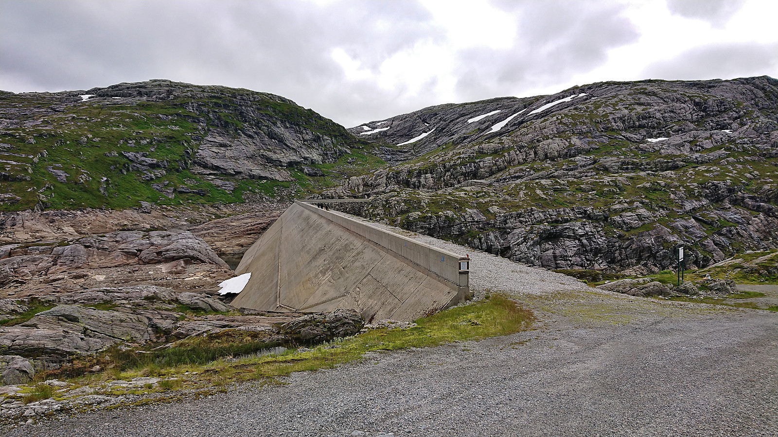
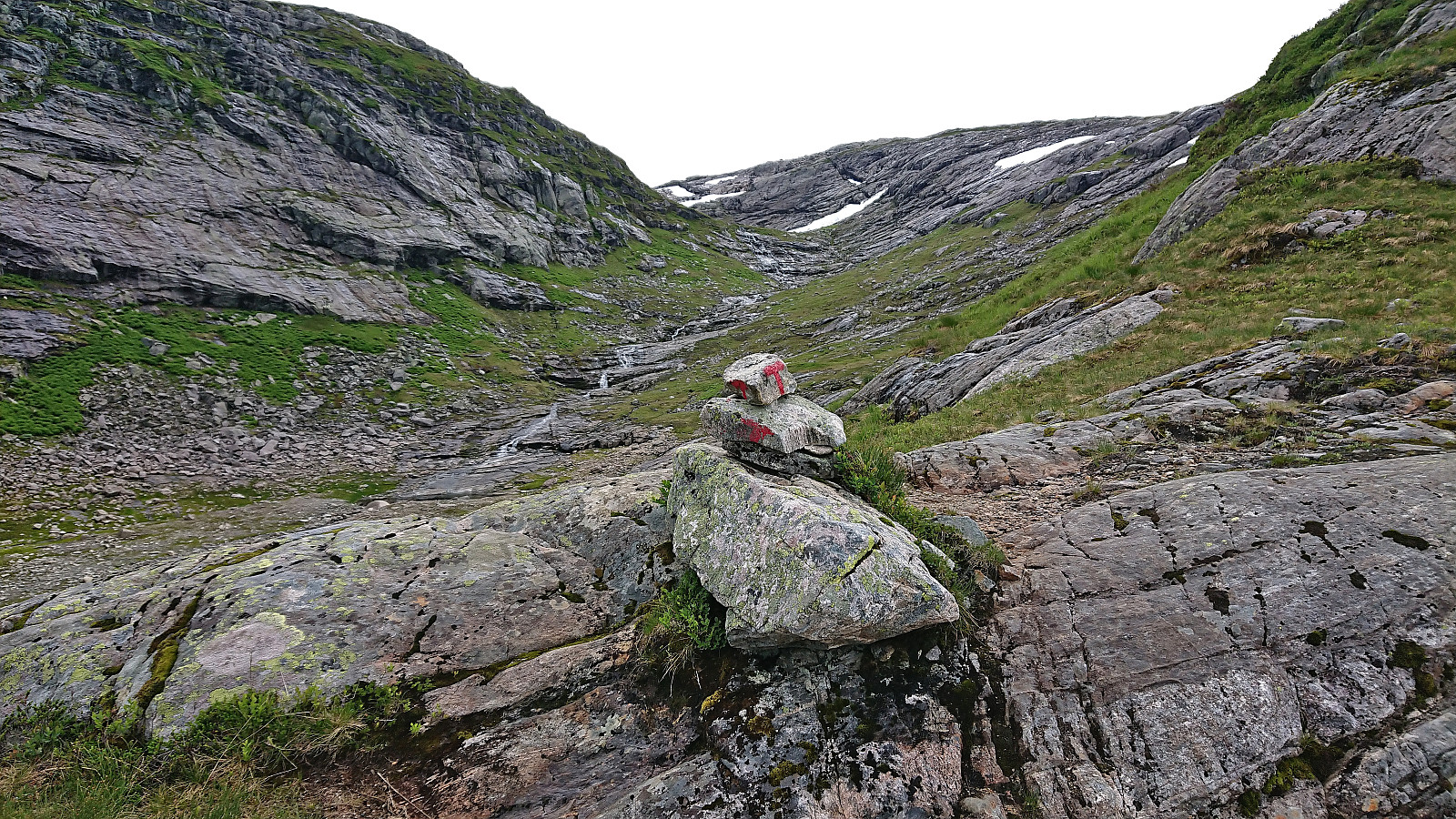
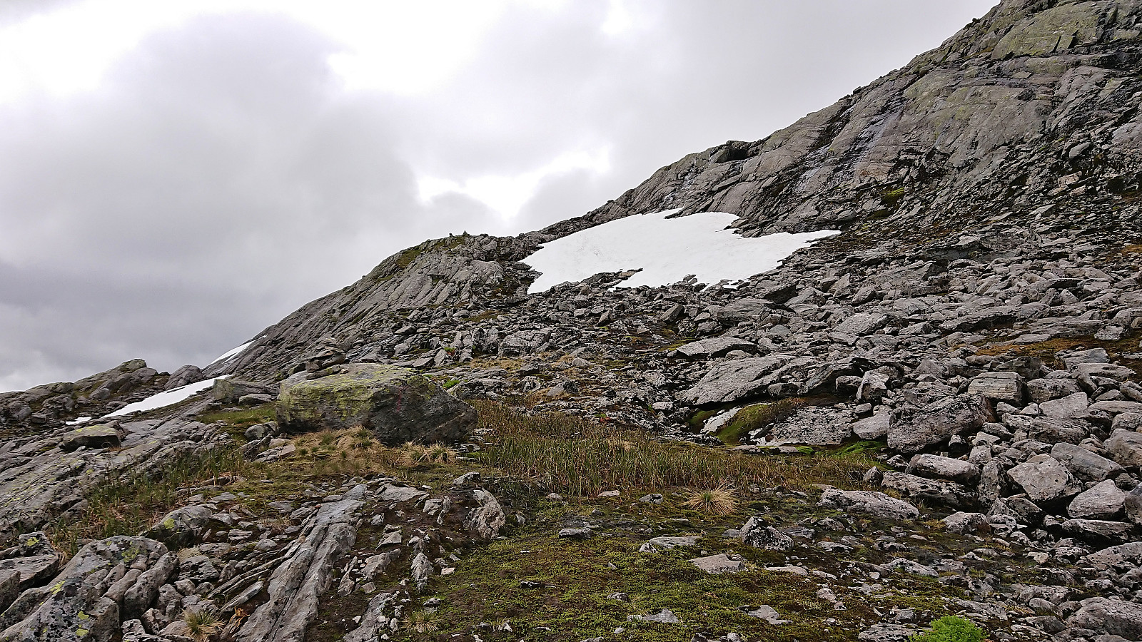

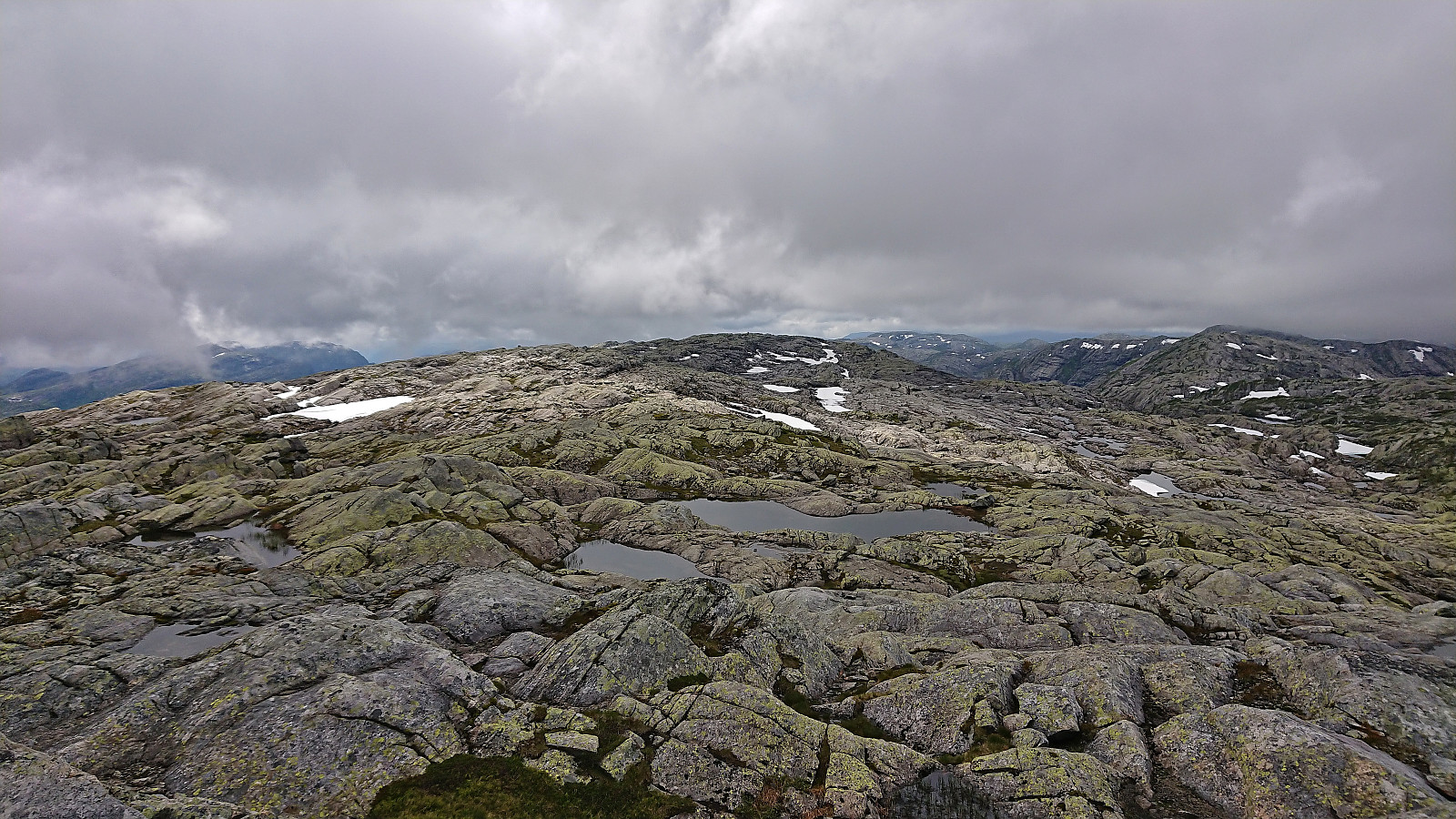
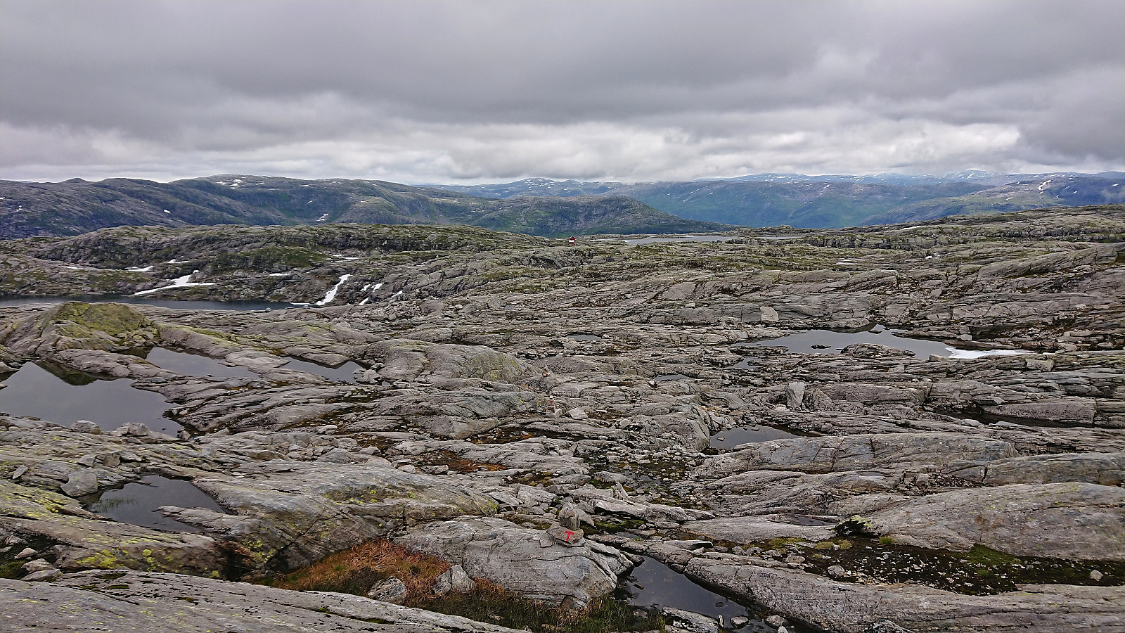
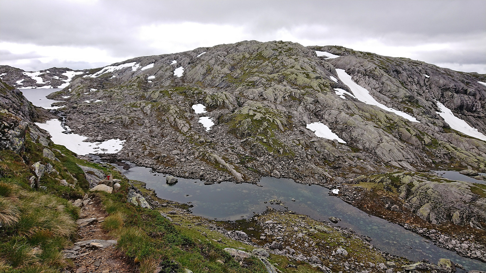
After ascending Vetlevassegga and Torrisskarfjellet, me and Petter drove the short distance to the parking lot at Svartavatnet and from there started on the marked trail to Skavlabu. When getting to the third small lake in between the two larger 868 and 916 lakes we started looking for the trail towards the summit of Høganipa that was indicated on the map. If there were any traces of this trail they were very weak, but we would later come across small cairns that seemed to be heading in the right direction that we partially followed. In any case the terrain was easy to navigate and did not present any challenges.
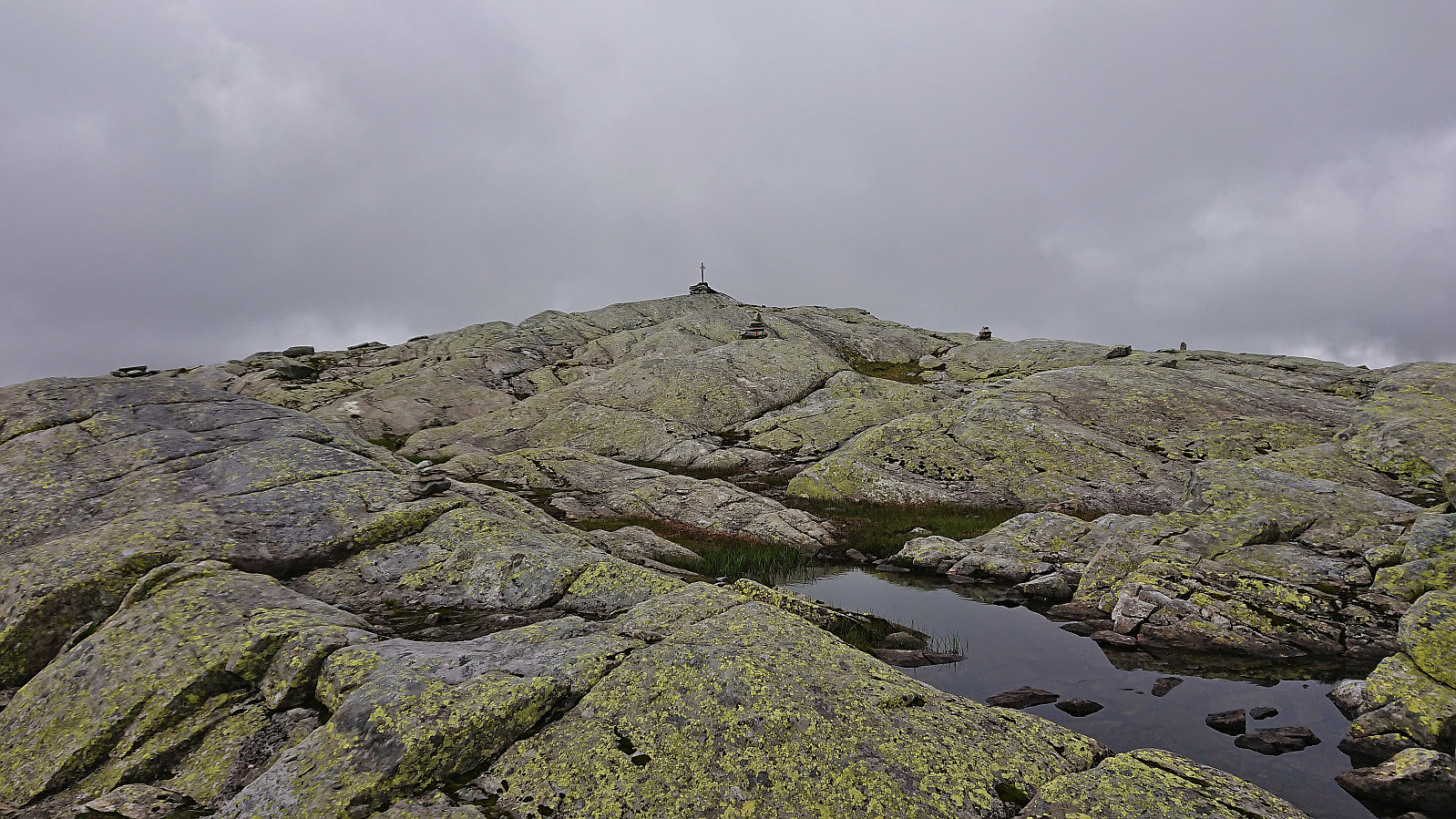
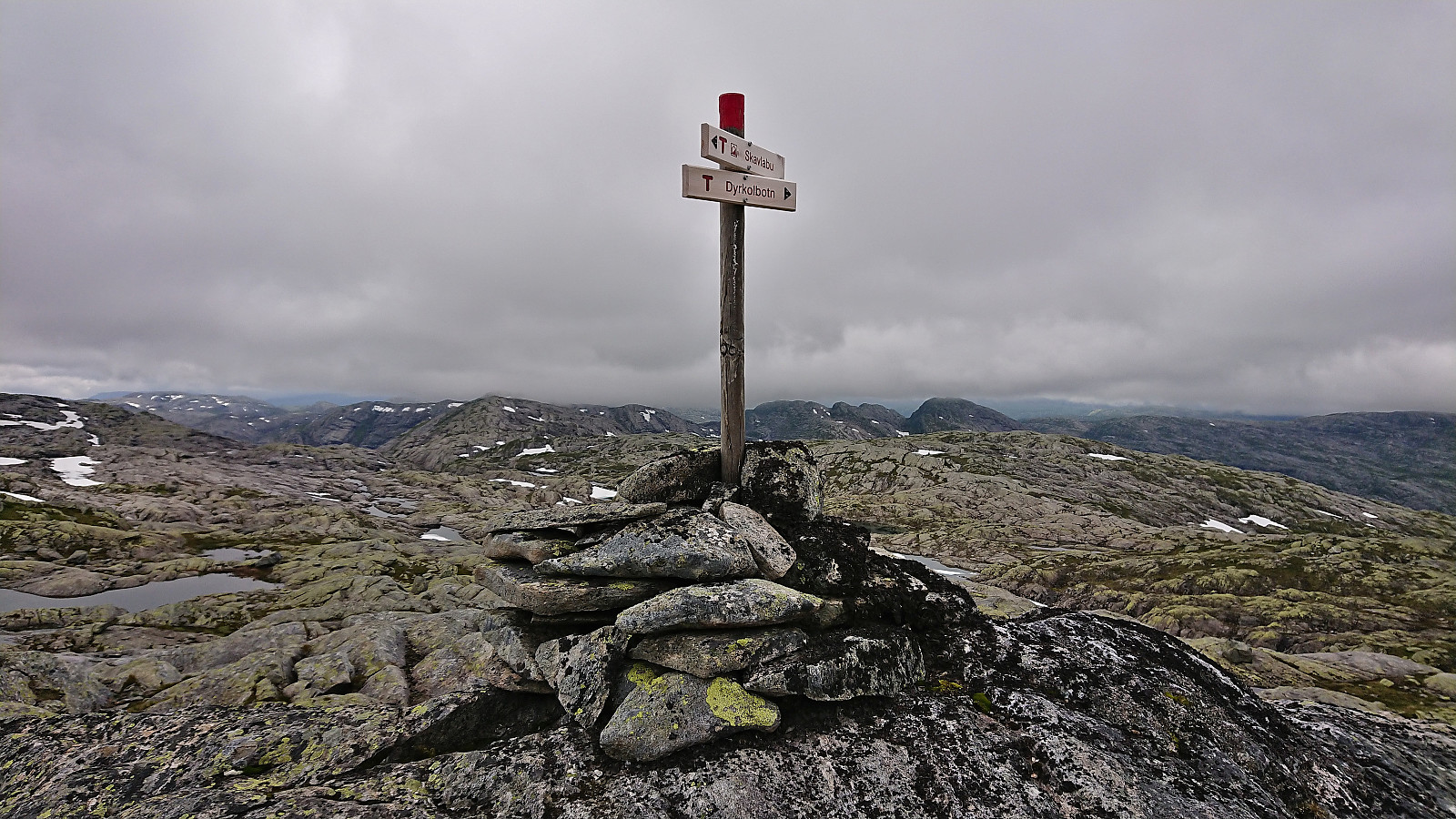
Upon getting closer to the summit we connected with the marked trail to Skavlabu and could follow the red T's for the final few meters. The summit was marked by a small cairn that mainly functioned as a trail marker for the trail to Skavlabu and did not mention that it also indicated the highest point at Høganipa. Perhaps due to Høganipa mainly being used as the name of the trig marker further southeast, even though this location is clearly lower.
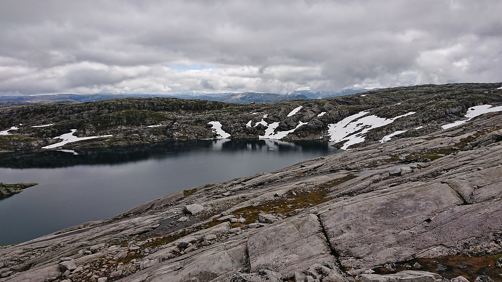
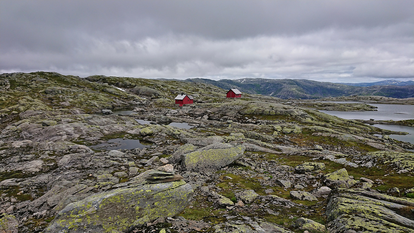
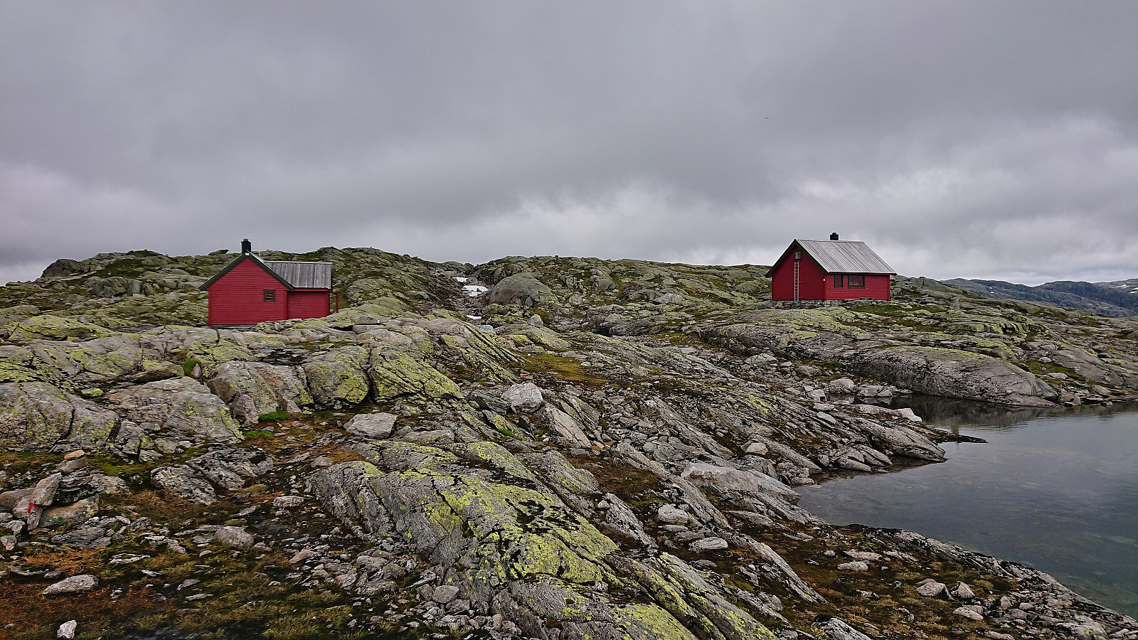
After the usual pictures, we split up, with Petter returning off-trail northeast along the ridge while I made the longer detour following the marked trail via Skavlabu. More ups and downs than what it had looked like from the summit of Høganipa, but the marked trail of course ensured that I reached the cabin (or should I say cabins, as there are two of them) without any issues.
From Skavlabu, I followed the marked trail back to the parking lot, where Petter had arrived about 20 minutes earlier via his shorter route, thus concluding yet another nice short roundtrip that can again be recommended. It is of course also possible to extend this hike by including a night or two at Skavlabu. Takk for turen Petter!
| Startzeitpunkt | 21.07.2022 12:52 (UTC+01:00 SZ) |
| Endzeitpunkt | 21.07.2022 15:03 (UTC+01:00 SZ) |
| Gesamtzeit | 2h 10min |
| Zeit in Bewegung | 2h 03min |
| Pausenzeit | 0h 7min |
| Gesamtschnitt | 3,7km/h |
| Bewegungsschnitt | 3,9km/h |
| Entfernung | 8,0km |
| Höhenmeter | 419m |


Benutzerkommentare