
Cycling: Håsteinen and Slettåsen (06.06.2022)

Skrevet av hbar (Harald Barsnes)

| Startsted | Lønborg (56moh) |
|---|---|
| Sluttsted | Lønborg (56moh) |
| Turtype | Gatesykling |
| Turlengde | 4t 59min |
| Distanse | 58,1km |
| Høydemeter | 977m |
| GPS |
|
| Bestigninger | Slettåsen (50moh) | 06.06.2022 |
|---|---|---|
| Andre besøkte PBE'er | Håsteinen (45moh) | 06.06.2022 |
| Nygårdsbroene (5moh) | 06.06.2022 |
Cycling: Håsteinen and Slettåsen
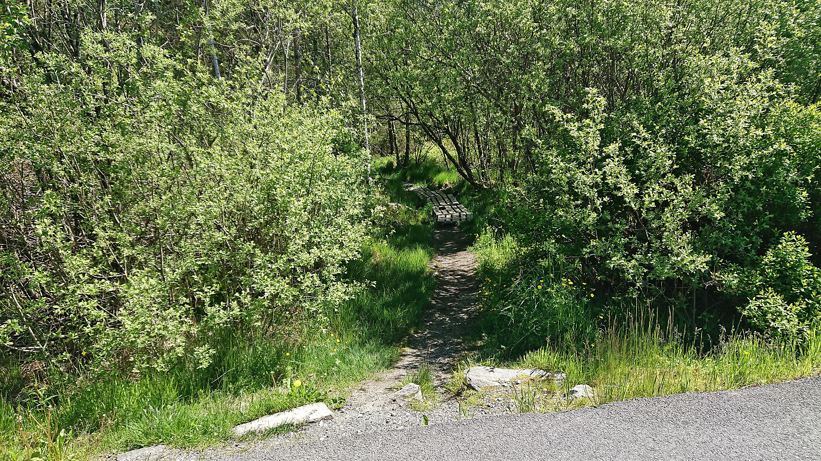
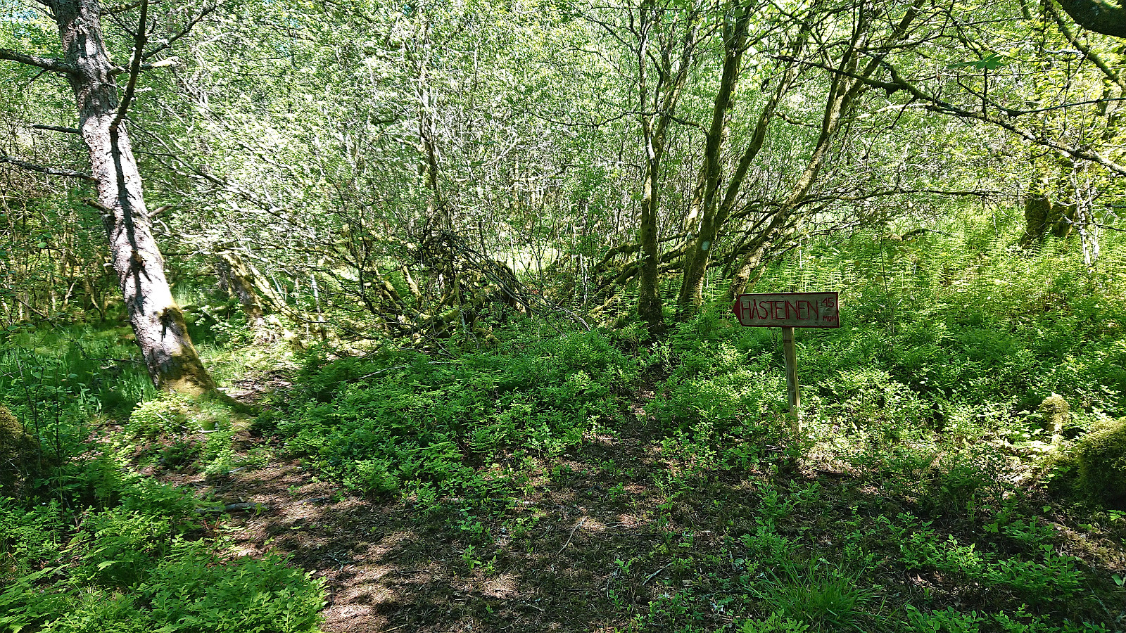
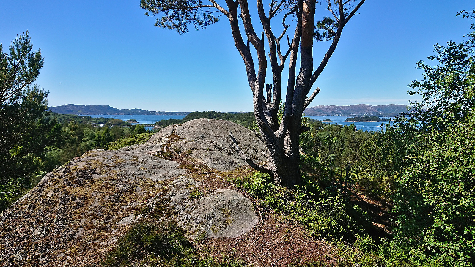
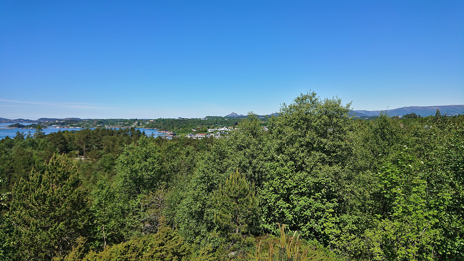
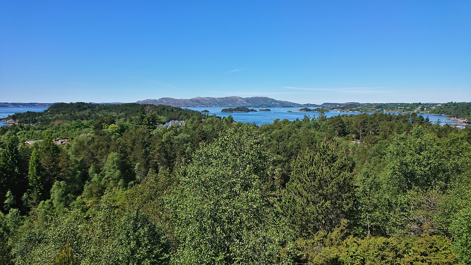
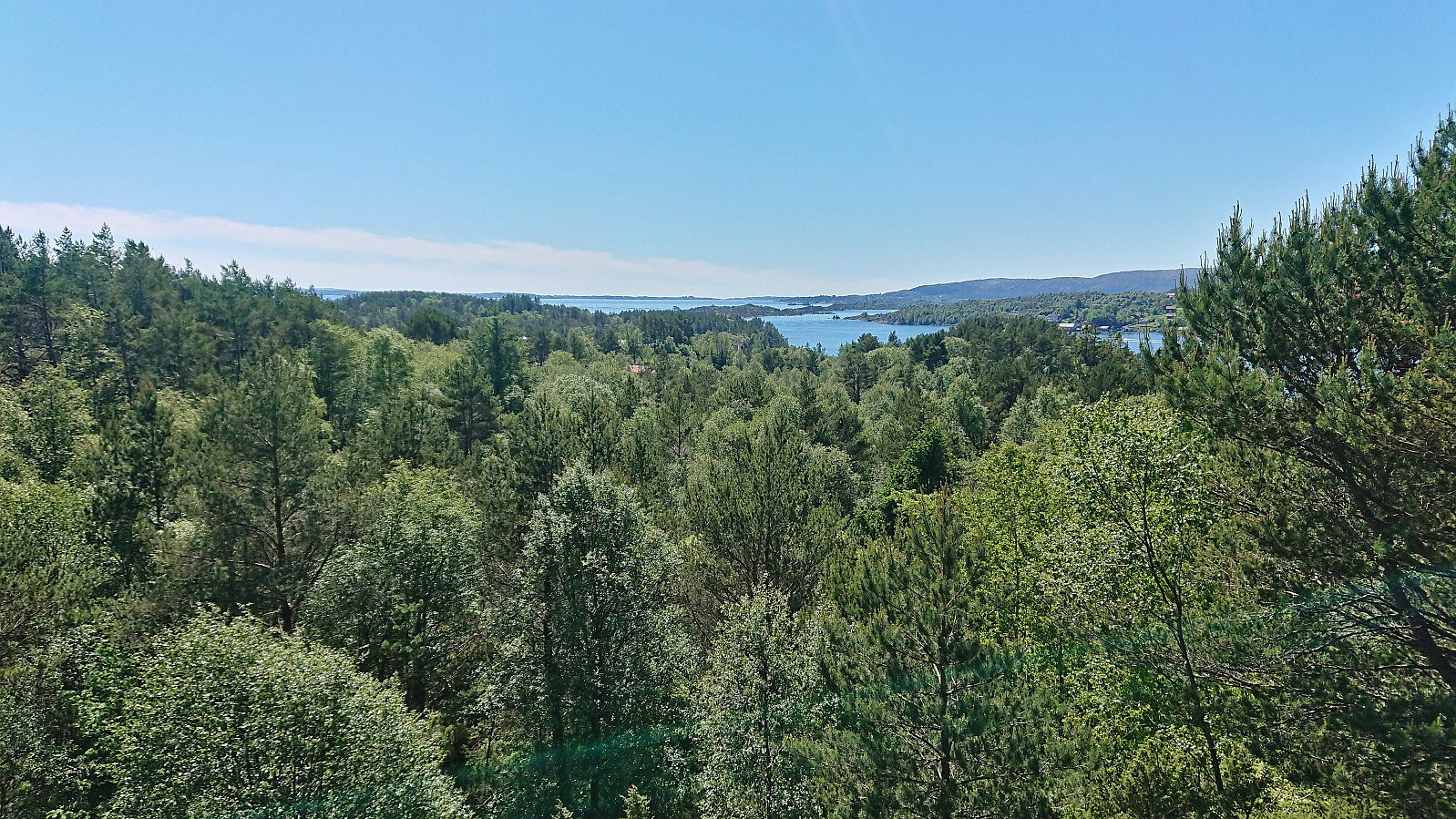
After two days of hiking, I switched to cycling for the last day of the long weekend and I went for a trip to Hjellestad with the added bonus of also making a quick visit of Slettåsen - a minor peak on the Alle topper i Bergen list. I left the bike behind at the unmarked trailhead northeast of the summit. The trail quality was highly variable, especially for the later return, but (at least the start) the wet areas were covered by planks or pallets. From Kjell51 (Kjell Øijorden)'s trip report, I had gotten the tip to also visit Håsteinen. So when a sign for Håsteinen showed up, I followed a trail to a location that provided great views, especially for only being 45 meters above sea level.
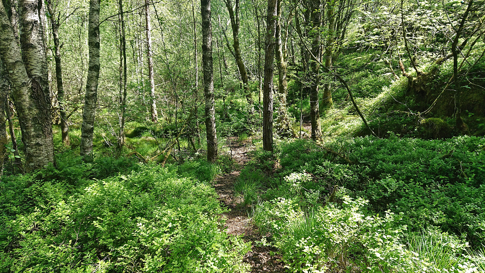
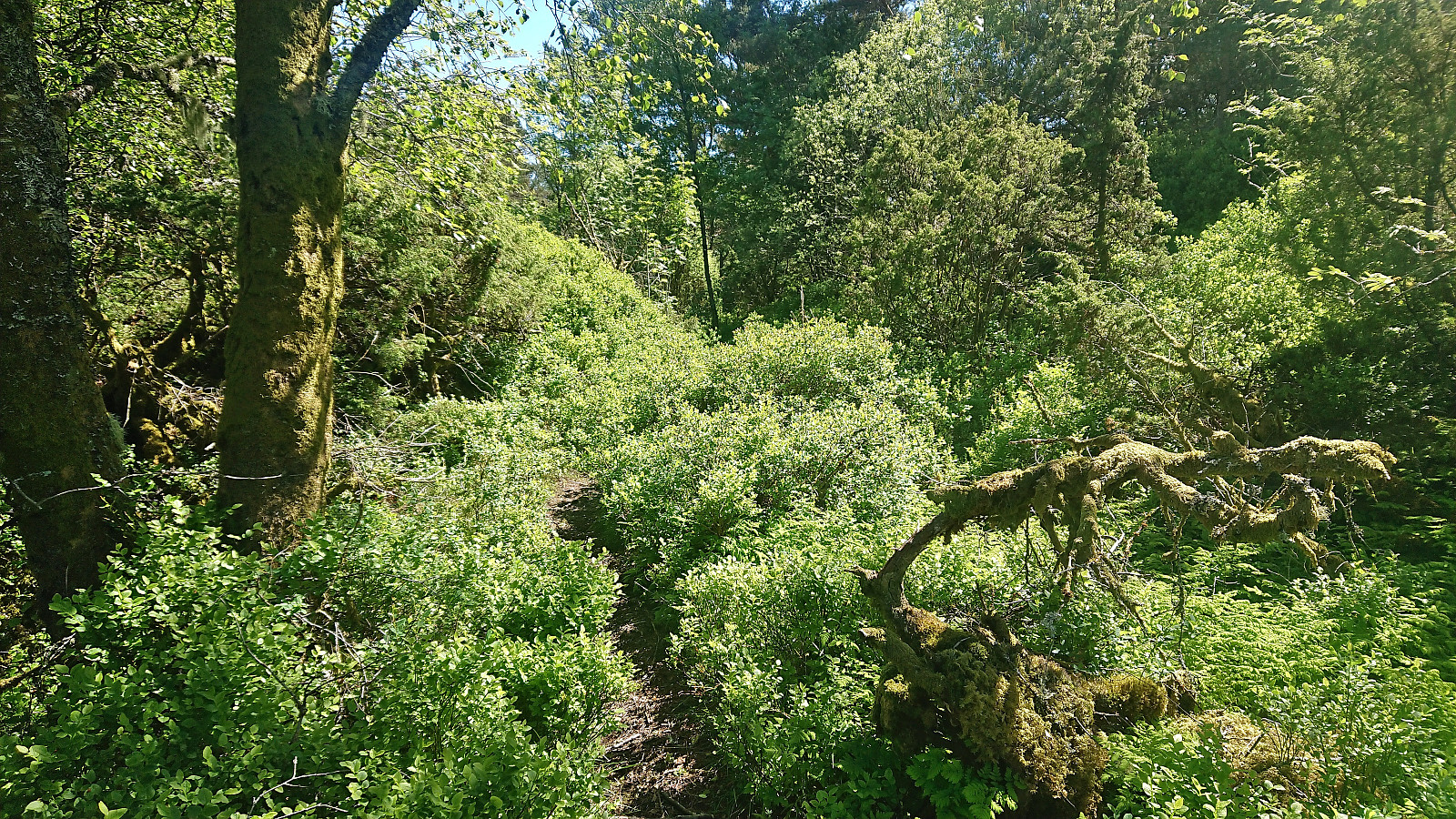
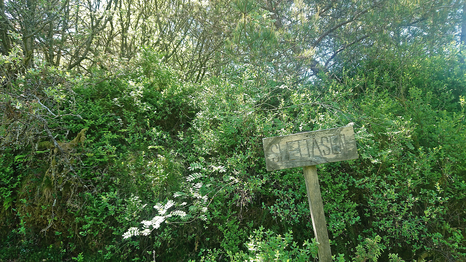
Next, I followed various trails towards Slettåsen, even passing a sign for Slettåsen. But there was no trail and the highest point was slightly further south anyway. As it turned out, the real summit was less than 20 meters from the trail. Probably not very difficult to reach, but it did not look very welcoming for someone dressed in shorts and t-shirt. I therefore decided to put this summit in the "been there, done that, definitely not coming back"-category and still cross it of my list.
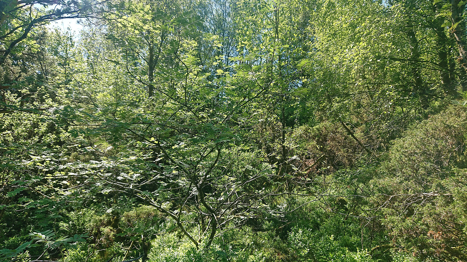
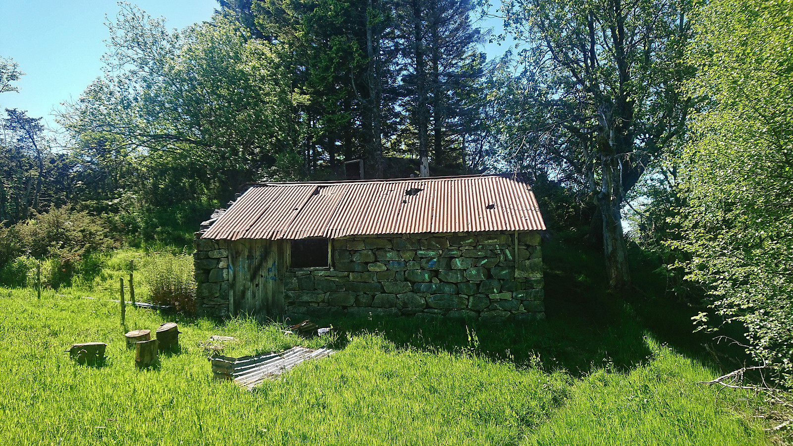
I followed the trail west to a abandoned small farm building. Here I struggled to locate the continuation of the trail, but finally found a weak trail just north of the building. Clearly not a frequently used trail, and turned very wet towards the end, but it did return me to the trail I had left earlier for my detour to Håsteinen, and returned me to my bike.
To conclude, while there are plenty of trails in this area, some of them indicated on the map and some not, and it is straightforward to get close to the summit, Slettåsen is clearly a summit that most normal hikers should simply ignore. A visit of Håsteinen can however be recommended and it has therefore now been added as its own PB-element.
| Starttidspunkt | 06.06.2022 12:07 (UTC+01:00 ST) |
| Sluttidspunkt | 06.06.2022 17:07 (UTC+01:00 ST) |
| Totaltid | 4t 59min |
| Bevegelsestid | 4t 45min |
| Pausetid | 0t 14min |
| Snittfart totalt | 11,6km/t |
| Snittfart bevegelsestid | 12,2km/t |
| Distanse | 58,1km |
| Høydemeter | 977m |


Kommentarer